 |
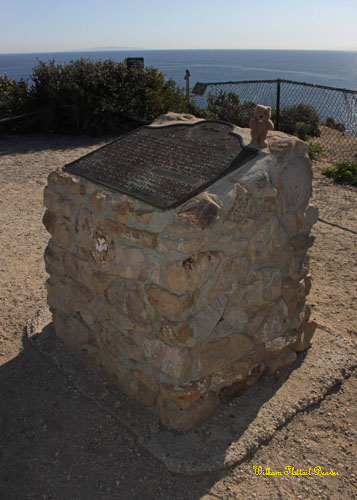
| Landmark #965 | Los Angeles County | Visited: December 4, 2011 | Plaque? YES! 🙂 |
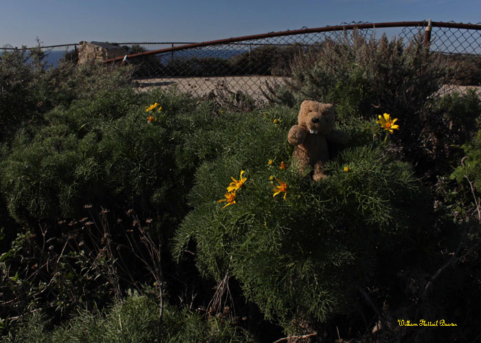
| What is it? | A plaque and rocky promontory that George Vancouver used to navigate Santa Monica Bay! |
| What makes it historical? | THE GUIDE SAYS: On November 24, 1793, English explorer George Vancouver, commander of an expedition to determine the extent of settlement of the northwest coast of America, named this rocky promontory, Point Dume, after his Franciscan friend, Father Francisco Dumetz, at Mission San Buenaventura. Point Dume is the western terminus of Santa Monica Bay and has been an important landmark for navigators since Vancouver’s voyage in 1793.
OTHER TIDBITS: That pretty well sums it up! |
| How can I Help the Helpers? | HERE’S HOW:
|
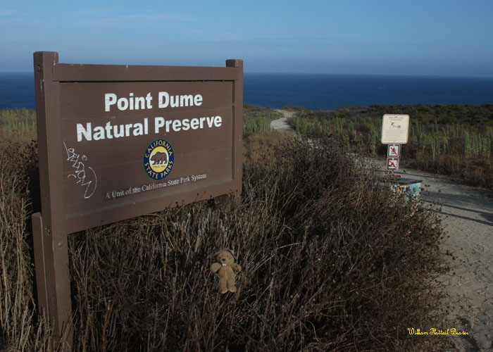
| Where is this place? | LISTED DIRECTIONS: Point Dume State Beach Corner of Cliffside Dr and Birdview Ave Malibu, CA 90265 ANNOTATIONS: From Los Angeles: ~36mi (58km) — 0.6hrs |
| When should I go? | Whenever the mood strikes you! |