 |
| Landmark #187 | Riverside County | Visited: February 4, 2012 | Plaque? NO. 🙁 |
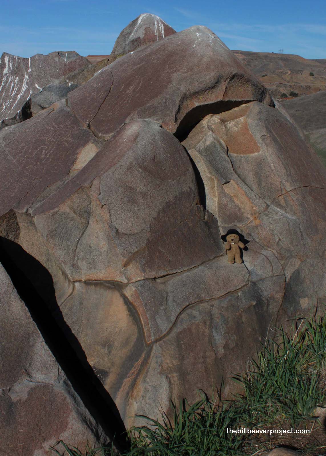
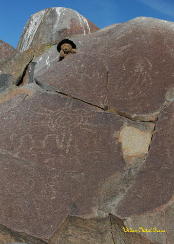
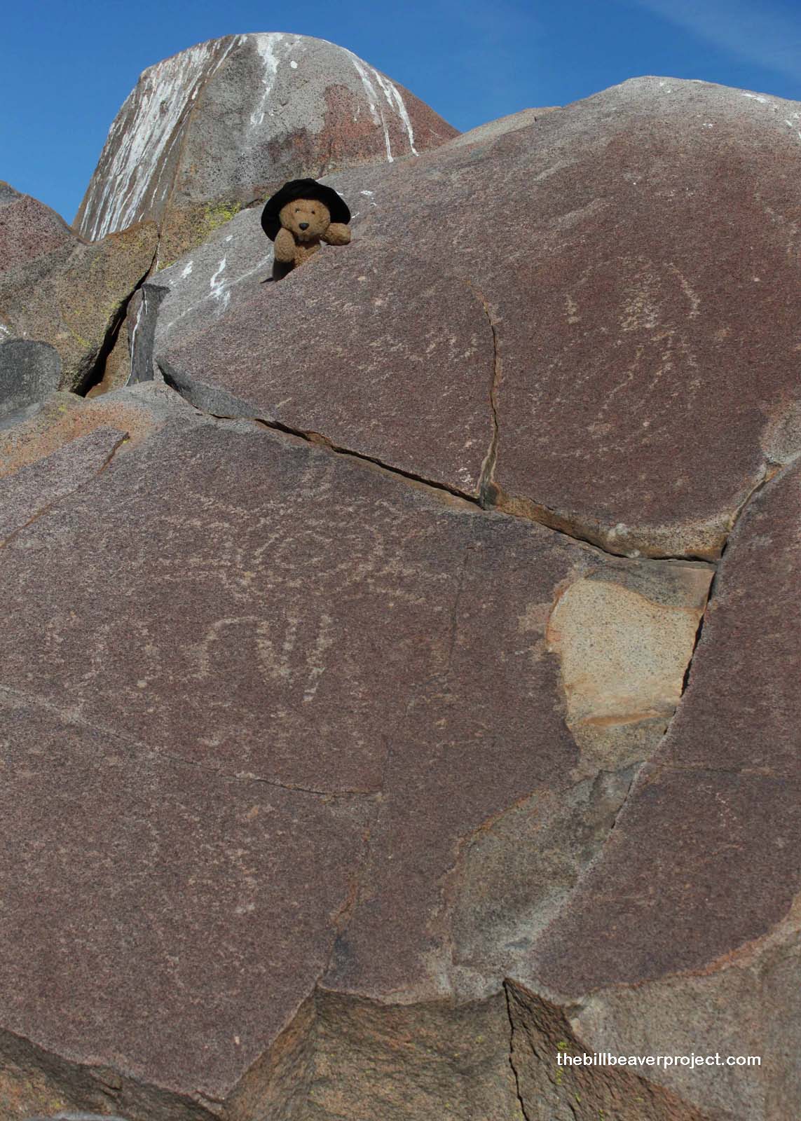
| What is it? | A beautifully carved boulder marking the place where a great Luiseño chief passed on! |
| What makes it historical? | THE GUIDE SAYS: The petroglyphs were carved by the Luiseño Indians, their meaning is said to be: “A chief died here. These are his plumes, his portrait, his sign, and the animals sacred to him.” The Luiseño Indians who lived in Temescal Valley belonged to the Shoshonean linguistic group. The rock has been damaged by vandals.
OTHER TIDBITS: That pretty well sums it up! |
| How can I Help the Helpers? | HERE’S HOW:
|
| Where is this place? | LISTED DIRECTIONS: In canyon 0.4 mi N of I-15 (P.M. 32.5) 8 mi S of Corona, CA 92883 ANNOTATIONS: From Los Angeles: ~58mi (94km) — 1hrs |
| When should I go? | This landmark is hard enough to find during the day, so I would limit your search to daylight hours! |