 Previous Day |
Castle Crags → Parks → Malakoff Diggins 313 mi (506.9 km) |
 Next Day |
Good morning, everyone!
I’m getting back to the wild way of sleeping. No hotels or albergues for me on this trip; I spent last night in a marsh in Castle Crags State Park! Yup, that’s a big ol’ jump from Shasta, but since this park contains the marker for the Battle of the Crags, I thought I might as well see it while I’m up this way! I got up and got started early, because I’ve got a whole lot of distance and a whole bunch of landmarks to see, both vanishing and static!
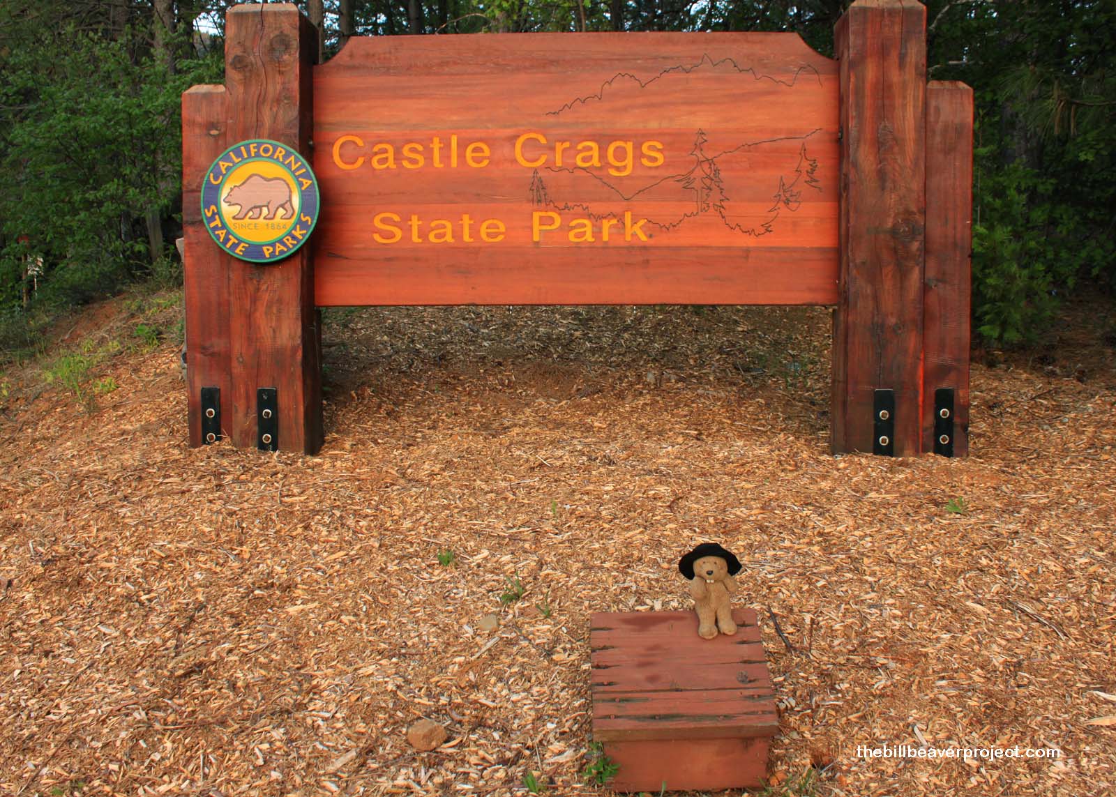 |
I started the morning with good news: a nonprofit group has stepped in to run Castle Crags! That means people will be able to keep camping here after July 1! Or so I think… When I arrived at the entrance, it was still closed for the season. I could access the interior (I am very sneaky after all!), but I didn’t have time to hike all the way to the viewpoint, which was a shame, because the crags are awe-inspiring dragon spines of rock shooting into the sky! I will definitely have to come back here some day, maybe after I visit Lassen Volcanic National Park!
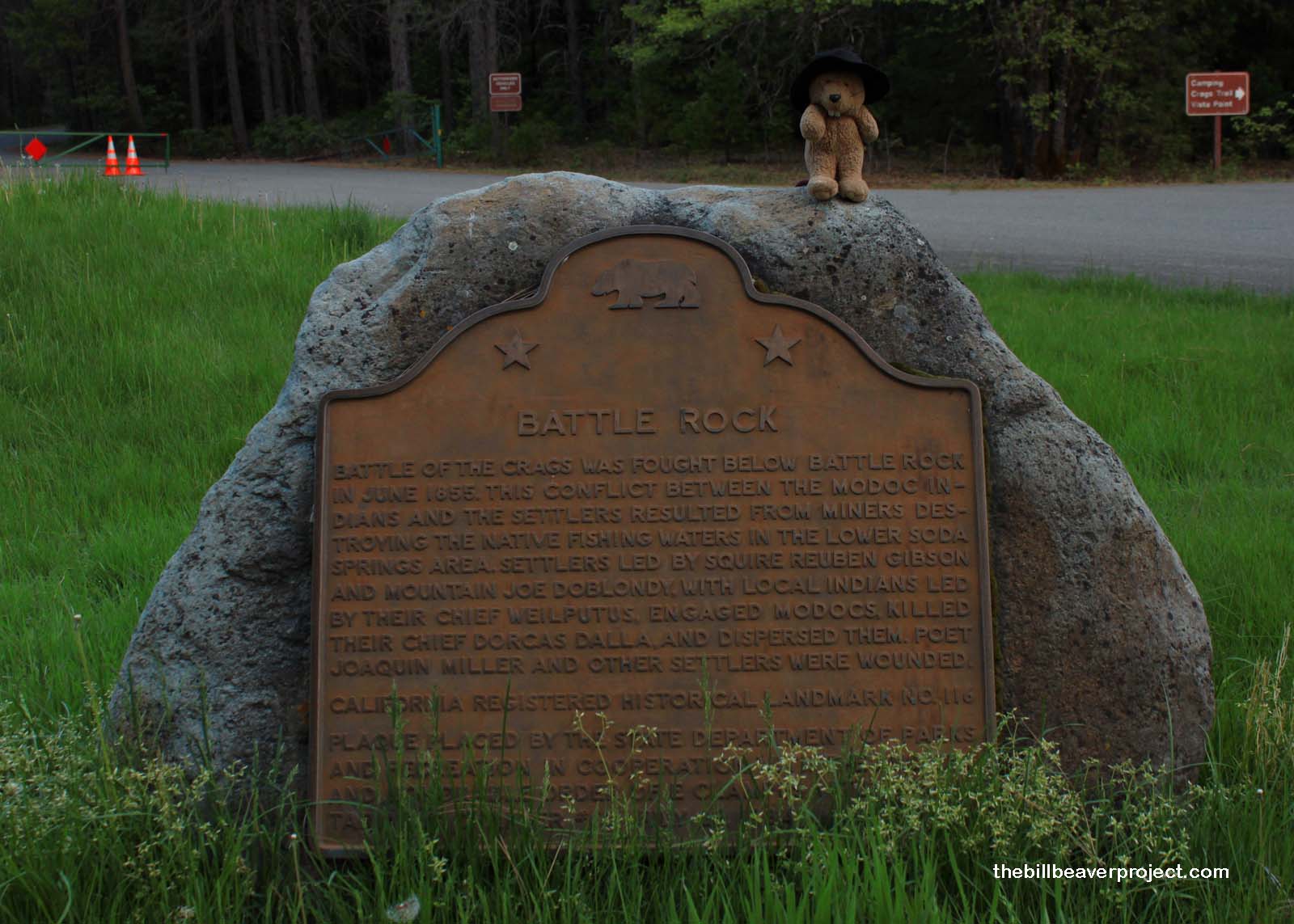 |
Battle Rock marks one boundary of the Battle of the Crags, one of many in the great Modoc War! That sounds like something out of Star Trek, but actually, after yesterday’s visit to Fort Humboldt, I’ll bet you can guess what this war was about: settlers taking over Modoc tribal lands! The battle ignited in 1855 after miners had ruined the Modocs’ fishing waters (presumably with five years of hydraulic mining), and resulted in the death of the Modoc chief, Dorcas Dalla, and the banishment of the tribe to Oklahoma! That’s not OK!
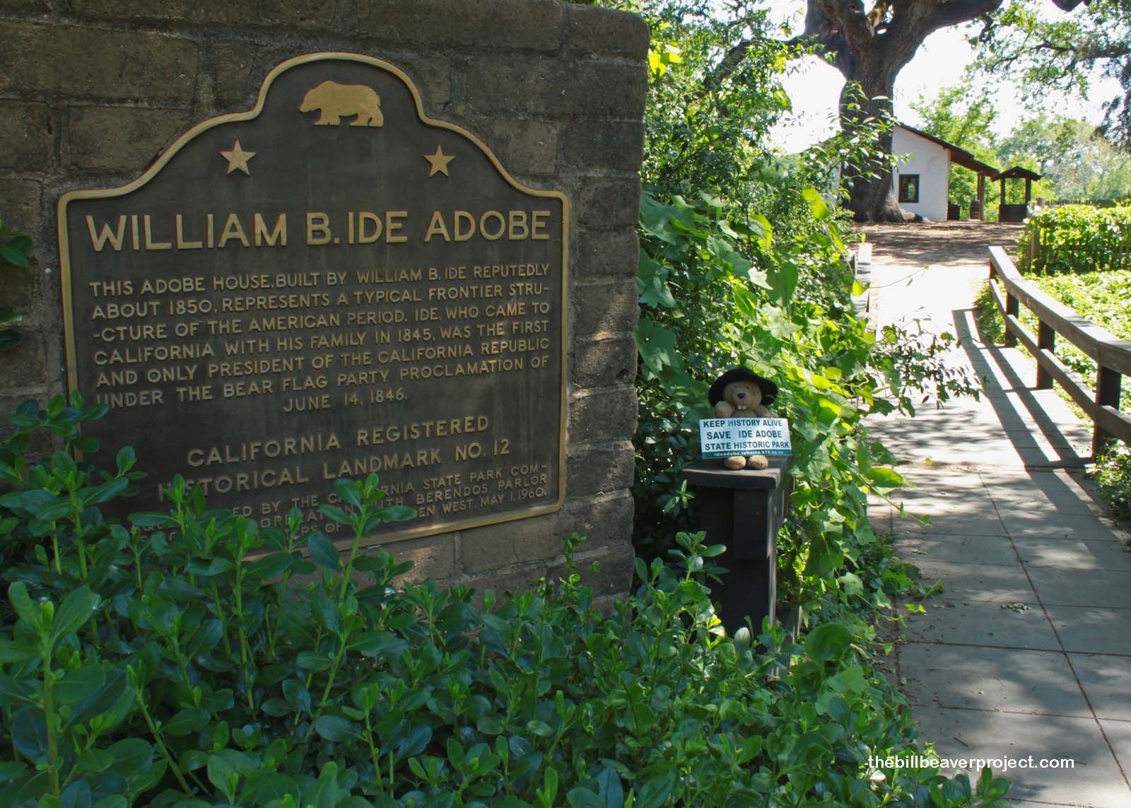 |
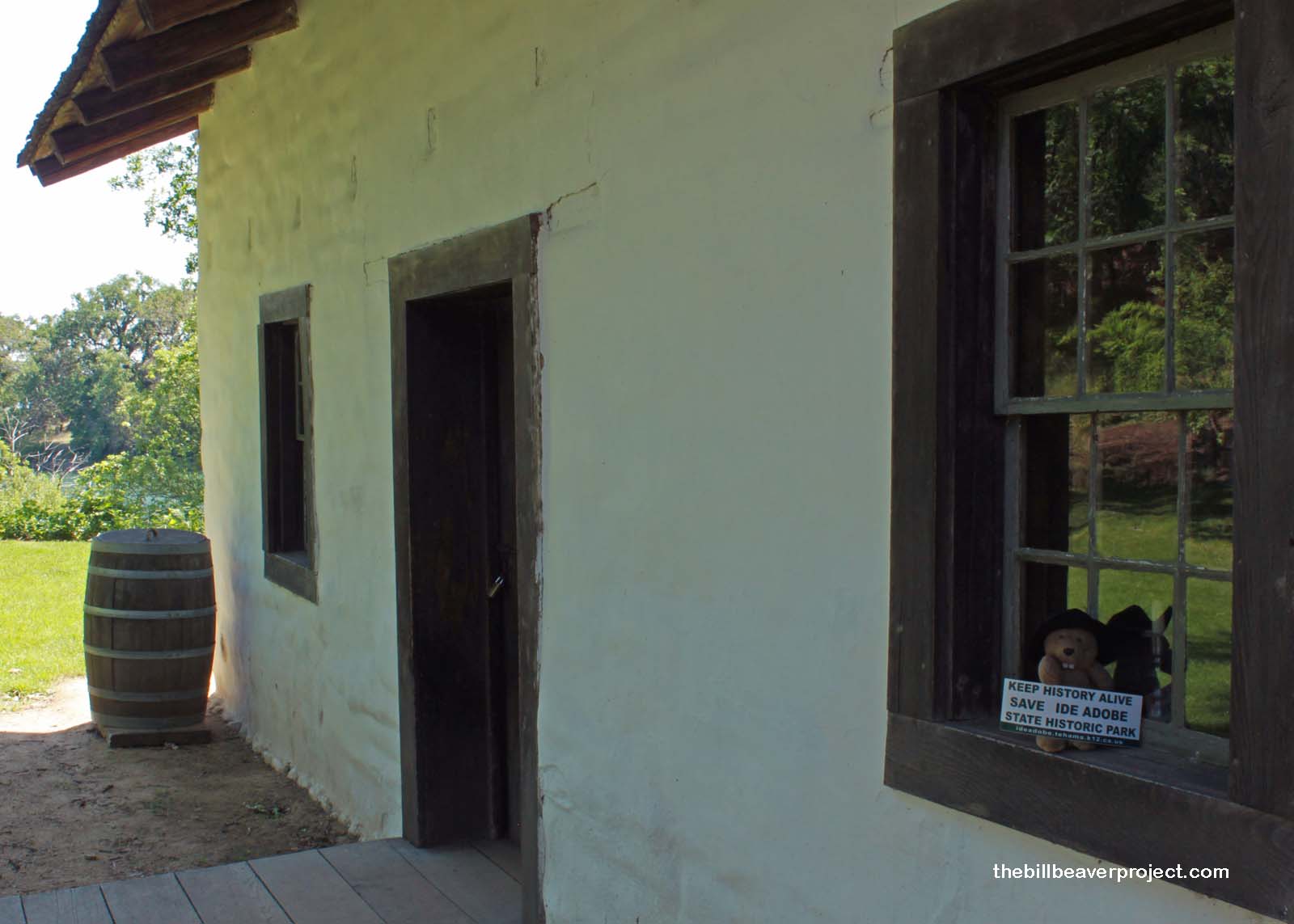
Not wanting to get in trouble for walking into a closed park, I got back on I-5 and headed down through Redding, another town I’d love to explore further someday, and into Red Bluff, home of the William B. Ide Adobe! Mr. Ide, came to California in search of cheap land (four years before the Gold Rush, mind you), but at the time, California belonged to the Mexican government. So, basically, he was one of 250 American citizens settling illegally in Mexican territory. Isn’t that ironic?!
 |
Even more ironically, a rumor went around that the Mexican government was expelling all illegal aliens from California. Well, Americans don’t like to be called aliens, so William Ide joined up with a group of similarly offended folks (and the US Army) to launch the Bear Flag Revolt! Together, they captured Sonoma, the northernmost extent of Mexican control, and declared themselves the Bear Flag Republic! Thanks to his rousing wartime speech, Mr. Ide became the first, last, and only President of the Bear Flag Republic with a term of 25 days!
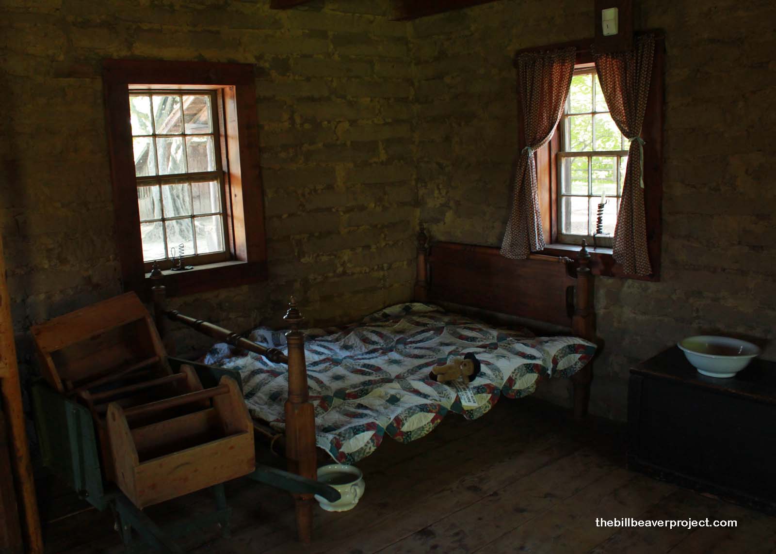 |
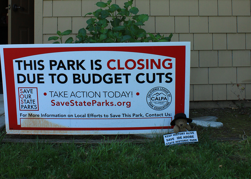
So, um, even this is called the Ide Adobe, Mr. Ide didn’t actually live here. This was another pioneer’s home. However, this park is still dedicated to Mr. Ide’s memory and the historic events that he helped to launch! The staff here keep that time period alive with historic immersion programs for local students. They have to dress, work, and even talk like pioneers! That sounds fun, and just the thing to build character, but if the park shuts down on July 1, no one will even be able to enter the adobe! What then happens to the kids’ characters?
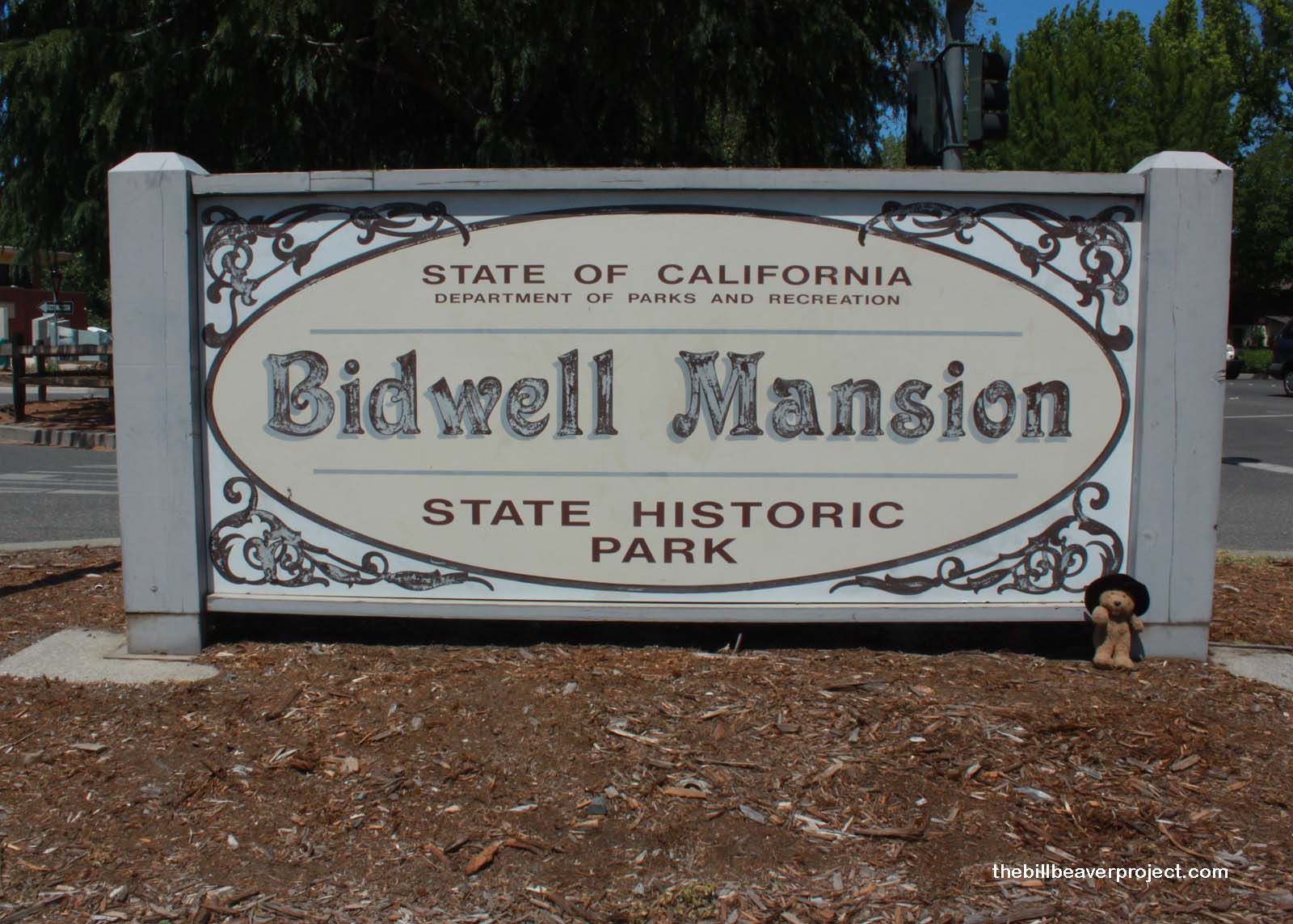 |
With the day pressing on, I had to bid farewell to the Ide Adobe and head for the campus of Cal State University – Chico, where John Bidwell built his marvelous mansion. Mr. Bidwell lived a life of great business decisions. As one of the first settlers to cross the Sierra Nevadas, he became the property manager for a Swiss-Mexican fellow named John Sutter, which, as you can imagine, was a really smart move (lots of people still trust the Swiss with their money)! Mr. Bidwell thus got to carry California’s first gold sample to San Francisco for appraisal!
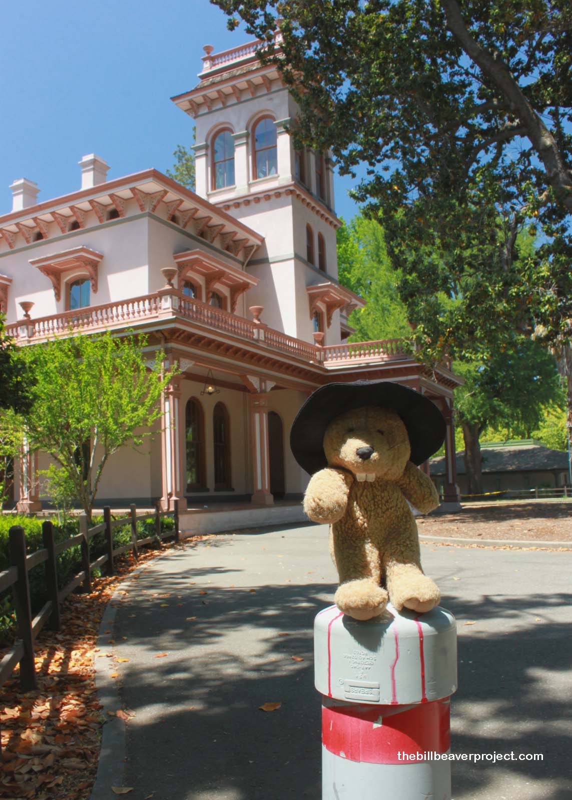 |
Thanks to a little mining and a little capitalizing on miners, John Bidwell raised up enough money to purchase 30,000 acres (think Disney World) in the area now known as Chico! His goal for this rancho was to create a Mecca of agricultural experimentation! Apart from really fine wheat, Mr. Bidwell’s fields spawned the casaba melon and California’s first commercial raisin crop! He created new varieties of olives and almonds and introduced some really exotic specimens, like the South American monkey puzzle (Araucaria araucana)!
On that note, I’m puzzled by the choice to shut down this park. It’s located on a university campus, of which it has been an integral part since 1923! John Bidwell was a staunch supporter of higher education, advancer of agriculture, friend to the local Mechoopda tribe, and even served as a legislator and entertainer of important guests, like President Rutherford B. Hayes! It’s worthwhile to learn about accomplishments like these. To erase them would be a bad business move!
I’d originally planned to cover all the Eastern Landmarks (i.e east of I-5) today, but there were two setbacks between my 2:00 departure from the Bidwell Mansion and my arrival at the next park: First, I got lost for an hour in Bidwell Park looking for the Chico Forestry Station Landmark! The park is split in two, and not many locals know how to find the nature center! Second, after almost a hundred miles of driving, I stopped to ask for directions to the Elizabethtown Landmark, and the locals sent me on a wild goose chase to find a sign off the highway that did not exist! The Landmark trail turned out to be quite literally at the foot of their driveway.
Despite these setbacks, the drive along the Feather River turned out to be one of the most beautiful stretches I have seen in California. There’s something about whitewater contrasting against dark boulders and green pines that I find particularly beautiful, and I began to understand why this county is called Plumas: the pines trees are so dense and delicate up here that they really do look like feathers!
 |
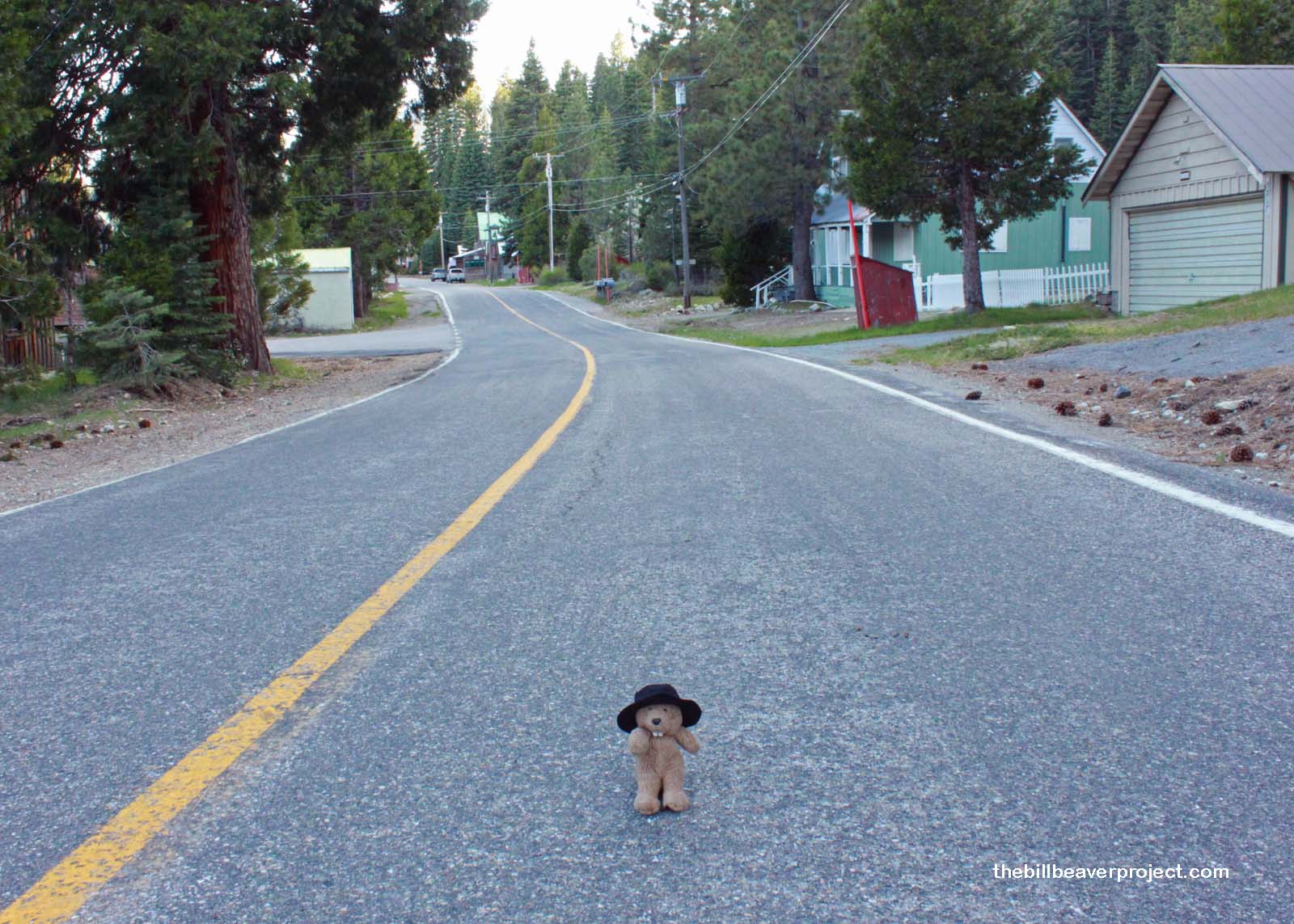 |
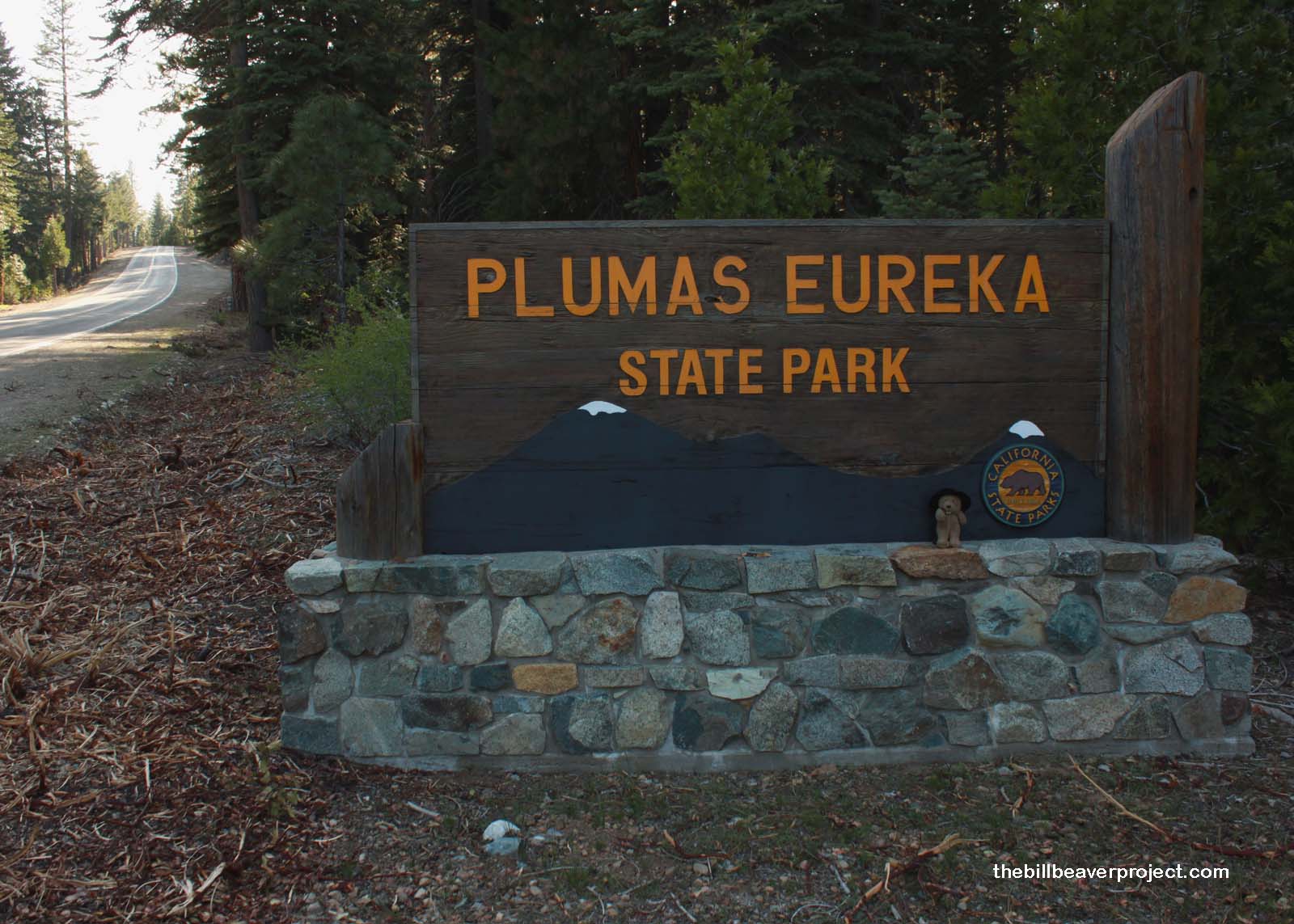
I arrived at Plumas-Eureka State Park as the sun was starting to sink behind the mountains, and I discovered something wonderful: the Plumas-Eureka State Park Association has stepped in to fund the upkeep of the park! That means it will be open for camping this summer! Hooray! It would have been tricky to close this park completely anyway, because people still live here and have since 1853. I don’t know for sure, though, whether they’re here year-round or if they head for less snowy places in the wintertime. The town looked so empty!
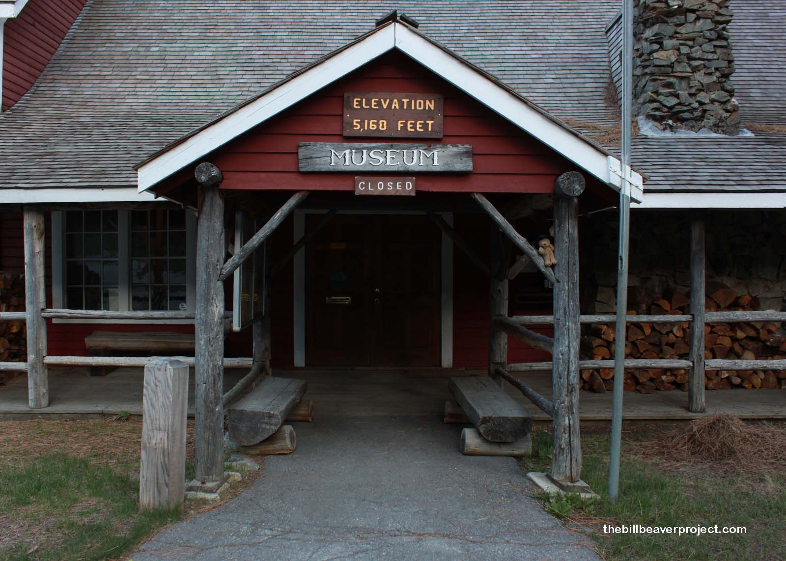 |
Either way, when I arrived at the visitor center, nobody was around. I don’t know whether this was because of the season or the signs posted, cautioning campers against plague-carrying-chipmunks! Plague-carrying chipmunks?! As in bubonic plague? Yersinia pestis? The Black Death? The bacterium that wiped out over 100 million people in the 1300s? That plague? Yup. In fact, Plumas County has the highest concentration of plague-infected fleas in the state! Even though park staff are using insecticidal dust and baited traps to control the problem, I’m still going to hurry!
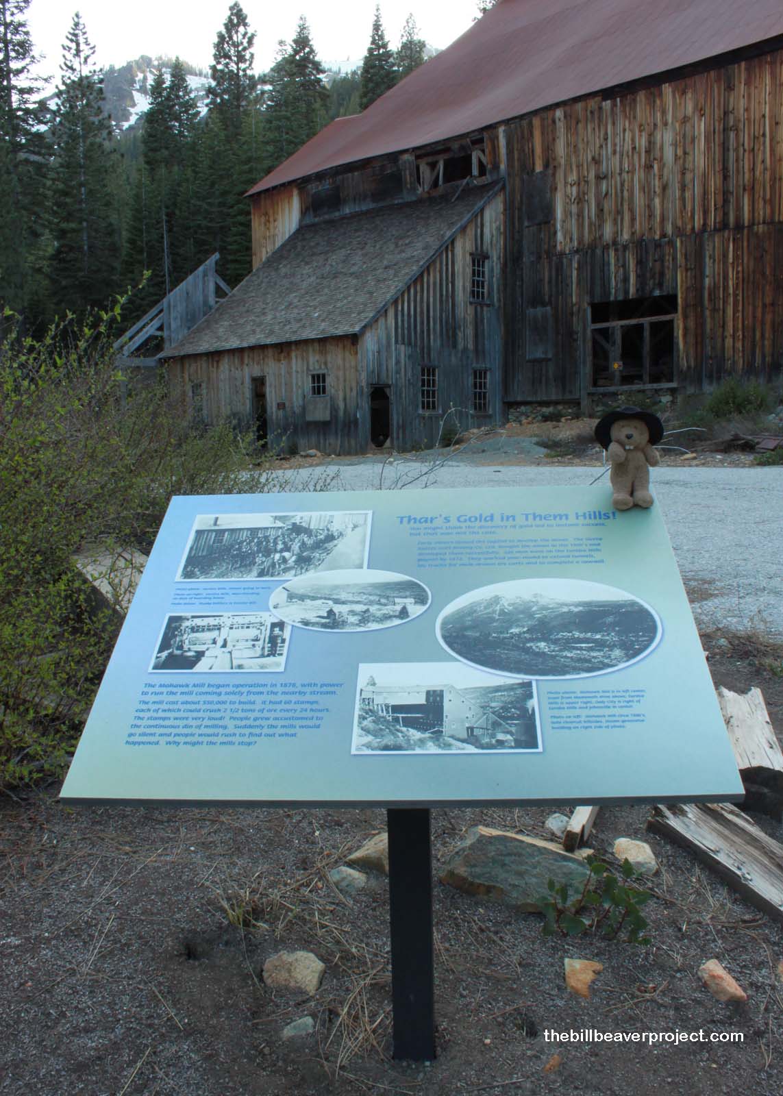 |
Mining operations opened here with the 1851 discovery of quartz gold, also known as hard rock gold. This is just what it sounds like: quartz that contains gold! To get the gold, the quartz must be dug out, crushed in a stamp mill, soaked, and separated, hardly easy work, but financially worthwhile after a few good nuggets! So fine were the findings here that the miners brought their families with them into the wilderness, and over the next 22 years of booms and busts, three towns sprang up: Jamison City, Johnsville, and Eureka Mills, all part of the first Historical Landmark to be found in this park!
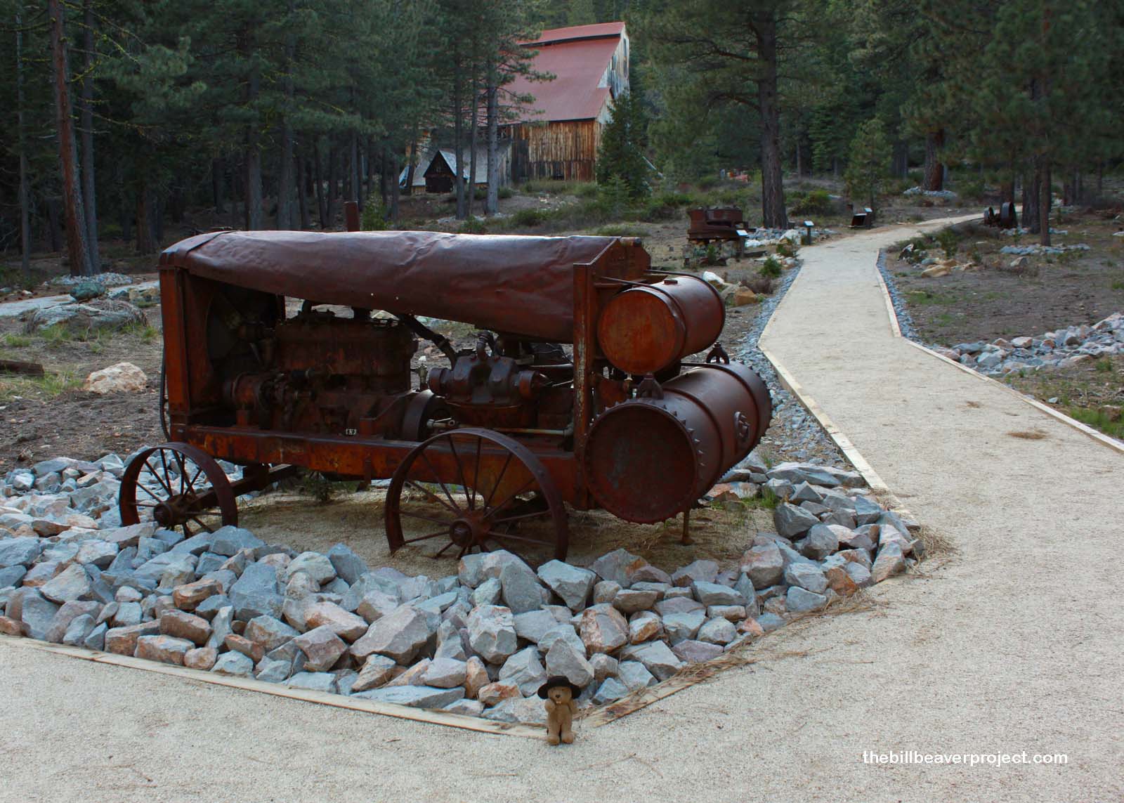 |
These mines churned out gold ore all the way until 1919! By then, the miners had dug 65 miles of tunnels and extracted $25 million in gold (over $333 million by 2012 standards)! The sound of the Mohawk Stamp Mill’s ore crushing could be heard from five miles away! How the locals ever got used to the noise, I’ll never know! (Actually, it’s called sensory adaptation! Put some clothes on!)
In the winter time, mining turned tricky. Heck, life turned tricky in this super remote town. In order to keep from going crazy, the miners took to longboarding, or as we would call it, skiing. They may have been the first people in North America to have downhill ski races and to use a “ski lift” (via ore carts)! Their “longboards” tended to be 12 feet long and weigh 20 pounds. They could reach speeds of 80 miles per hour, with a single pole between the legs doing all the braking! Boy, that would hurt if it snagged a rock!
So, I pulled up one park short for today, but instead of rushing to Malakoff-Diggins after dark, I decided to go for a pizza at Cuccia’s. I walked in the door, and the hostess greeted me with “Welcome back!” That was funny, since I’d never been here before, and English-speaking beavers aren’t exactly common. Well, she said, someone just like me had visited the restaurant earlier today!
“What was his name? Or… her name?”
“I don’t recall. Might have been Gary or Walter, I think.”
She picked up a menu and went to take me to my seat. “No, no,” she said. “I think it was George. He was heading south.”
…
…
…
I’d like it to go, please!

Previous Day |
Total Ground Covered: 1,232 mi (1,985.9 km) |
Next Day |