 |
| Landmark #356 | Contra Costa County | Visited: Sept. 14, 2013 | Plaque? YES! 🙂 |
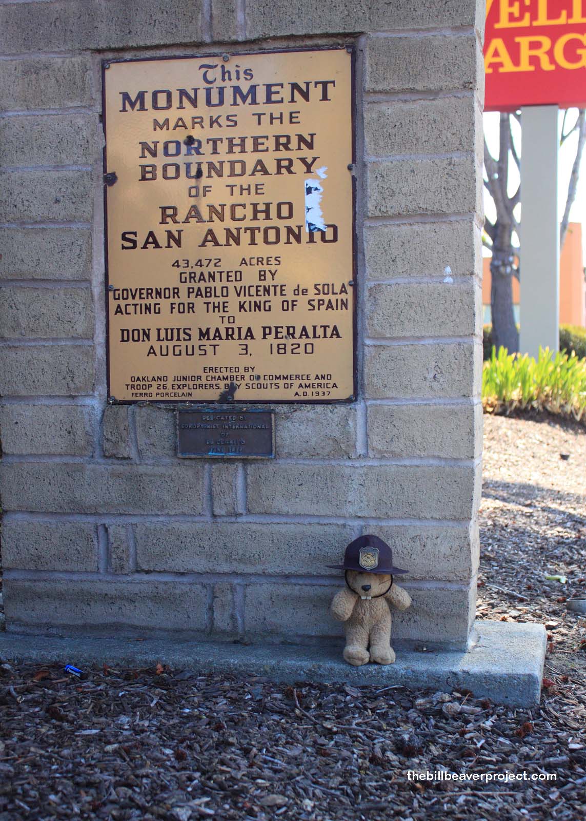
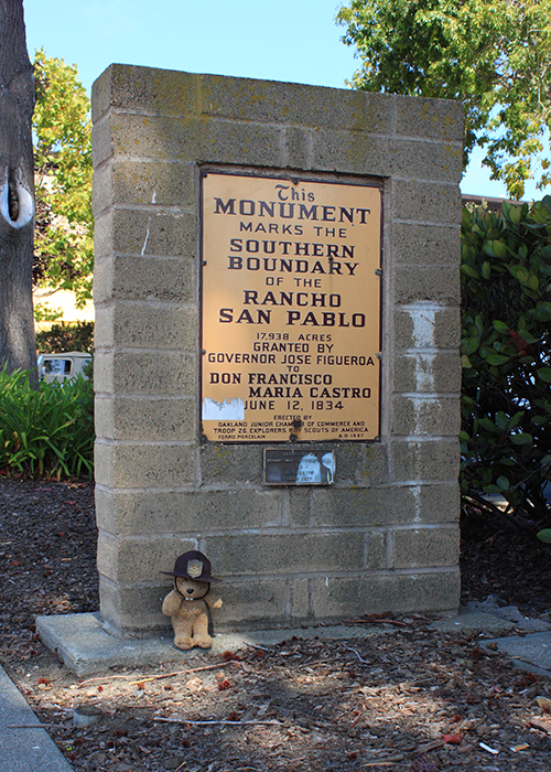
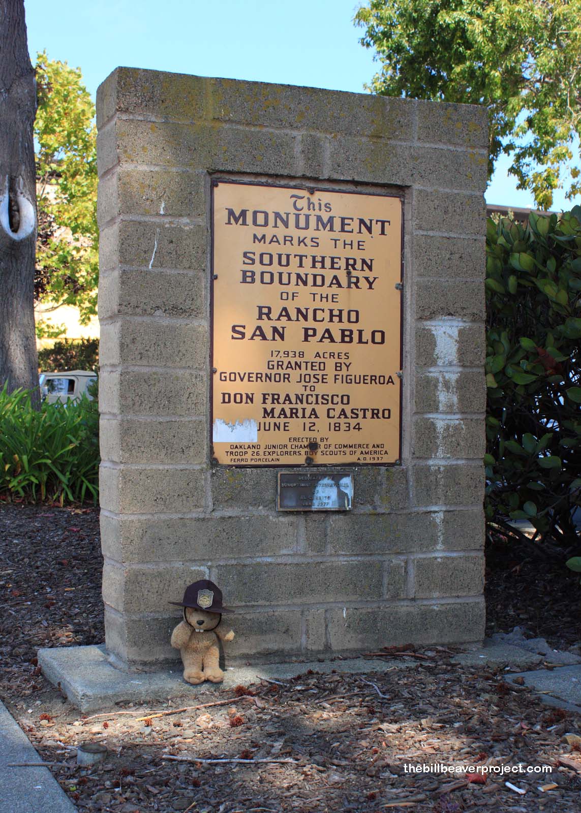
| What is it? | A two-sided market designating the boundaries of ranchos San Antonio and San Pablo! |
| What makes it historical? | THE GUIDE SAYS: The El Cerrito adobe, as it was known because it was built near the north bank of El Cerrito Creek, was one of the adobes built by the Castro family on Rancho San Pablo. It was destroyed by fire in April 1956.
OTHER TIDBITS: Head of this household was Francisco María Castro, who came to San Francisco from Mexico in 1800 and joined Padre José Altamira in exploring the area north of the Bay in 1822! His original land grant wasn’t officially confirmed until a year after his death, during which time his wife and eleven children had to live in a state of limbo! By the time the land grant was settled upon, it had been reduced to only a few acres surrounding the family adobe home! Today, this site marks the boundary between Alameda and Contra Costa Counties! |
| How can I Help the Helpers? | HERE’S HOW:
|
| Where is this place? | LISTED DIRECTIONS: El Cerrito Plaza 9800 San Pablo Ave El Cerrito, CA 94530 ANNOTATIONS: From Los Angeles: ~378mi (609km) — 6.3hrs |
| When should I go? | Whenever the mood strikes you! |