 |
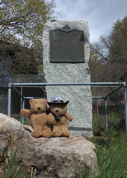
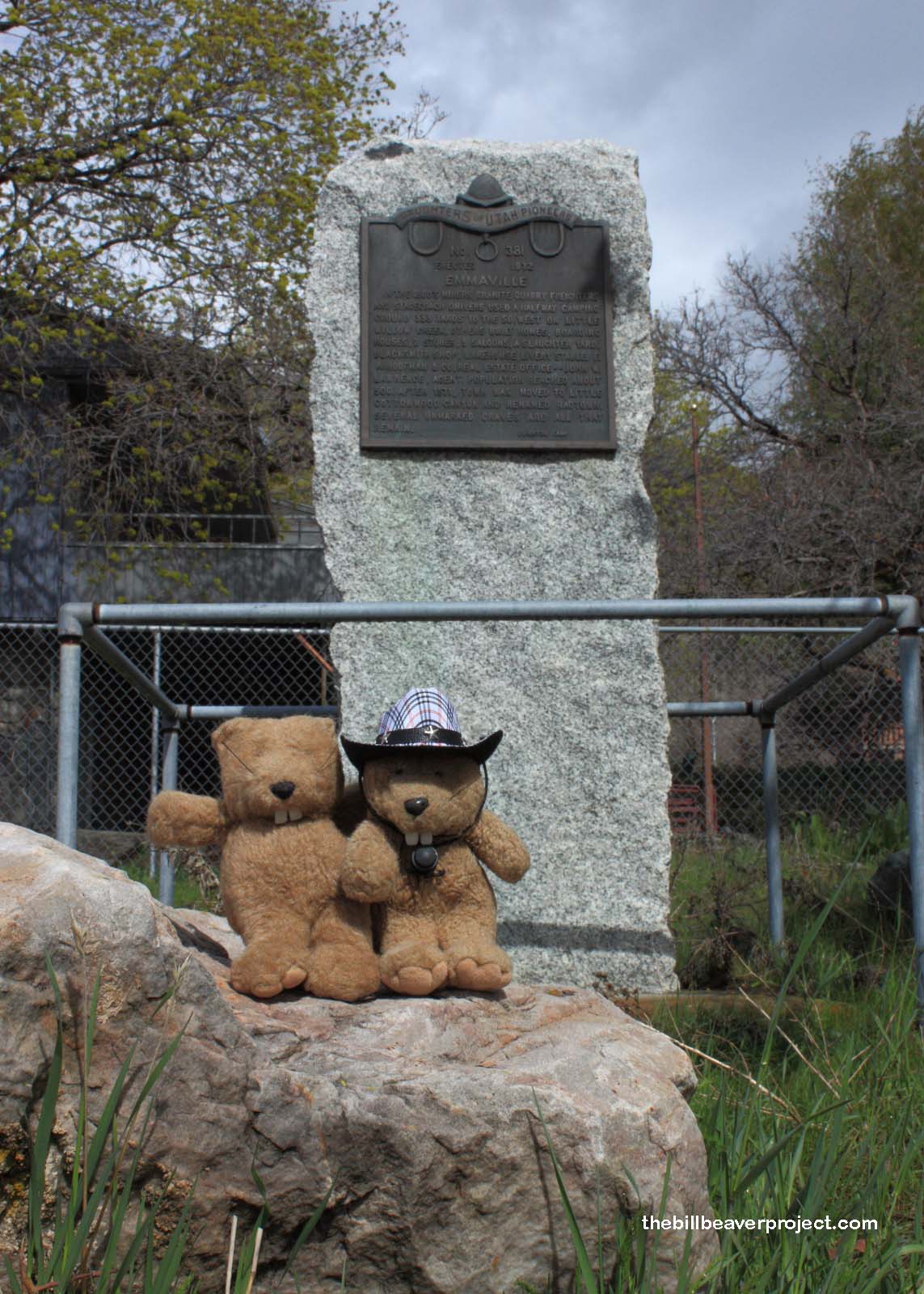
| Landmark #381 | Salt Lake County | Visited: April 13, 2014 | Plaque? YES! 🙂 |
| What is it? | A plaque marking the site of the mining town of Emmaville! |
| What makes it historical? | THE PLAQUE SAYS: In the 1860s, miners, granite quarry freighters, and stagecoach drivers used a halfway camping ground 333 yards to the southwest on Little Willow Creek. Others built homes, boarding houses, 2 stores, 3 saloons, a slaughter yard, blacksmith shop, warehouse, and livery stable. F.A. Hoofman & Co. Real Estate Office–John W. Lawrence, Agent. Population reached about 500. After 1871, town was moved to Little Cottonwood Canyon and renamed Ragtown. Several unmarked graves are all that remain.
OTHER TIDBITS: Emmaville was named after the Emma Mine in Little Cottonwood Canyon, which was named after the daughter of Robert B. Chisholm, the man who discovered the mine! It was built to serve as a midway point between Salt Lake City and the mines at Alta! What the plaque doesn’t tell you is that Emmaville had to move because the railroad was developing nearby and there was a horrible fire and small pox epidemic in 1871! |
| How can I Help the Helpers? | HERE’S HOW:
|
| How do I find it? | Listed Directions: 8795 S Wasatch Blvd Salt Lake City, UT 84121 Annotations: From Beaver: ~190mi (306km) — 3.2hrs |
| When should I go? | Whenever the mood strikes you! |