 |
| Landmark #677 | Lassen County | Visited: Sept. 26, 2014 | Plaque? YES! 🙂 |
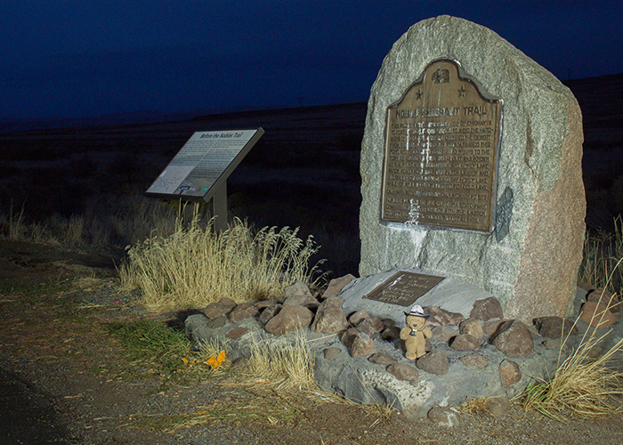
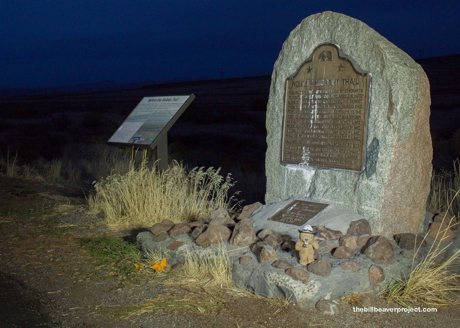
| What is it? | A plaque marking the less-dangerous Noble Emigrant Route to the mines of California! |
| What makes it historical? | THE GUIDE SAYS: This route was first used in 1852 by emigrants to Northern California seeking to avoid the hardships of the Lassen Trail. It crossed the desert from the Humboldt River in Nevada, passed this point, and proceeded over the mountains to the town of Shasta. Later, 1859-1861, it was known as the Fort Kearney, South Pass and Honey Lake Wagon Road. On October 4, 1850, while hunting for Gold Lake, Peter Lassen and J. G. Bruff saw Honey Lake from this point.
OTHER TIDBITS: That pretty well sums it up! |
| How can I Help the Helpers? | HERE’S HOW:
|
| Where is this place? | LISTED DIRECTIONS: On State Hwy 395 (P.M. 80.5) 7.6 mi N of Litchfield, CA 96117 ANNOTATIONS: From Los Angeles: ~557mi (897km) — 9.3hrs |
| When should I go? | Whenever the mood strikes you! |