
 |
| Landmark #746 | Sacramento County | Visited: April 5, 2015 | Plaque? NO. 🙁 |
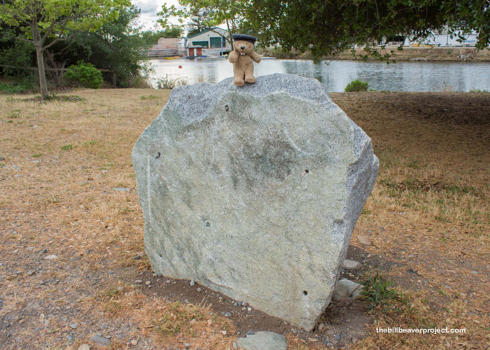
| What is it? | What’s left of a plaque marking the Coloma Road! |
| What makes it historical? | THE GUIDE SAYS: Alder Springs, south of this point, marks the old Coloma Road, running between Sutter’s Fort and Cul-luh-mah (Coloma). Established in 1847, this road was used by James W. Marshall in January 1848 to bring the first gold from Sutter’s Mill to the fort. Later, traveled by thousands to and from the diggings, it became the route of California’s first stageline, established in 1849 by James E. Birch.
OTHER TIDBITS: That pretty well sums it up! |
| How can I Help the Helpers? | HERE’S HOW:
|
| Where is this place? | LISTED DIRECTIONS: From Hwy 50, go N on Hazel Ave, take first rd to right Plaque located in Nimbus Flat Boat Launching Facility Lake Natoma, Folsom Lake State Recreation Area Rancho Cordova, CA 95670 ANNOTATIONS: From Los Angeles: ~401mi (646km) — 6.7hrs |
| When should I go? | During the winter months, Nimbus Flat is open daily from 7:00 AM until 7:00 PM, and in the summer, it’s open from 6:00 AM until 9:00 PM! |