 Previous Day |
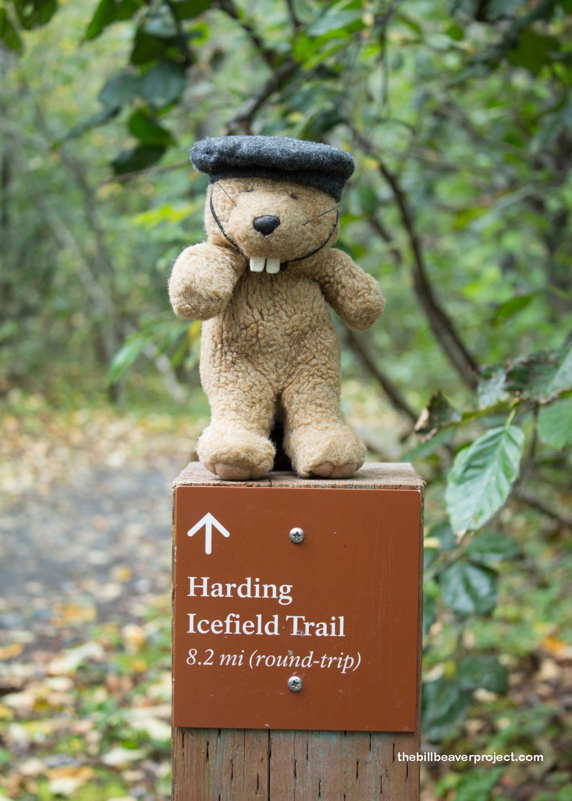
Summit: 3,506 ft (1,068.6 m) Trail: 8.2 mi (13.2 km) roundtrip |
 Next Day |
A hiking we will go, everyone!
This morning, we motored out in the rain to make our way around the Kenai Peninsula toward Seward. With the weather being so unstable, we weren’t 100% sure how to plan our day, but when we took a right turn before reaching Seward, I got excited. Not only were we about to visit Exit Glacier, but we were going to trek to its very tip top!
 |
This intense trek wiggled 4.1 miles up into the mountains, where we would have unparalleled views of the Harding Icefield, the mother of glaciers for this stretch of coast! I couldn’t wait to get started!
 |
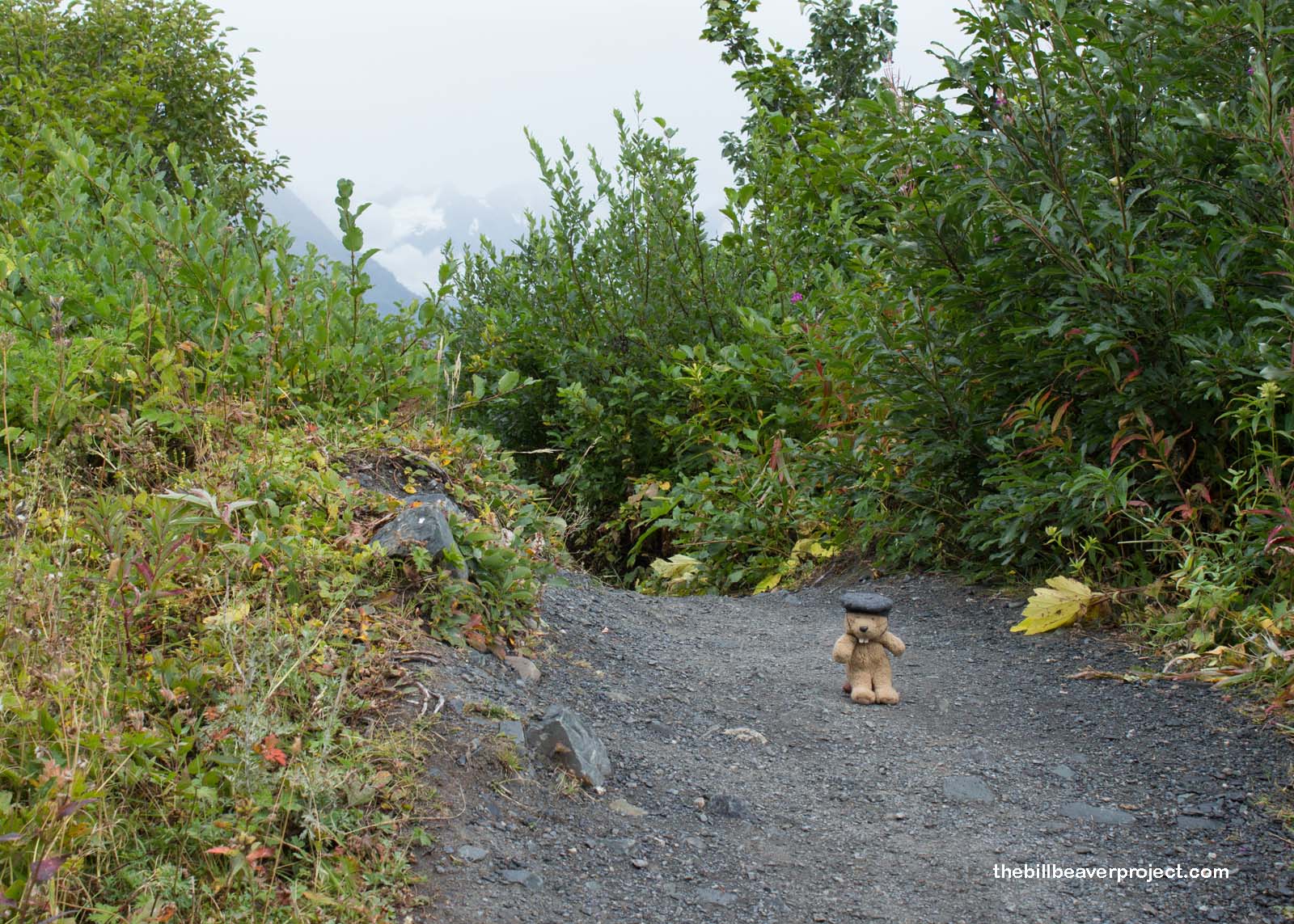
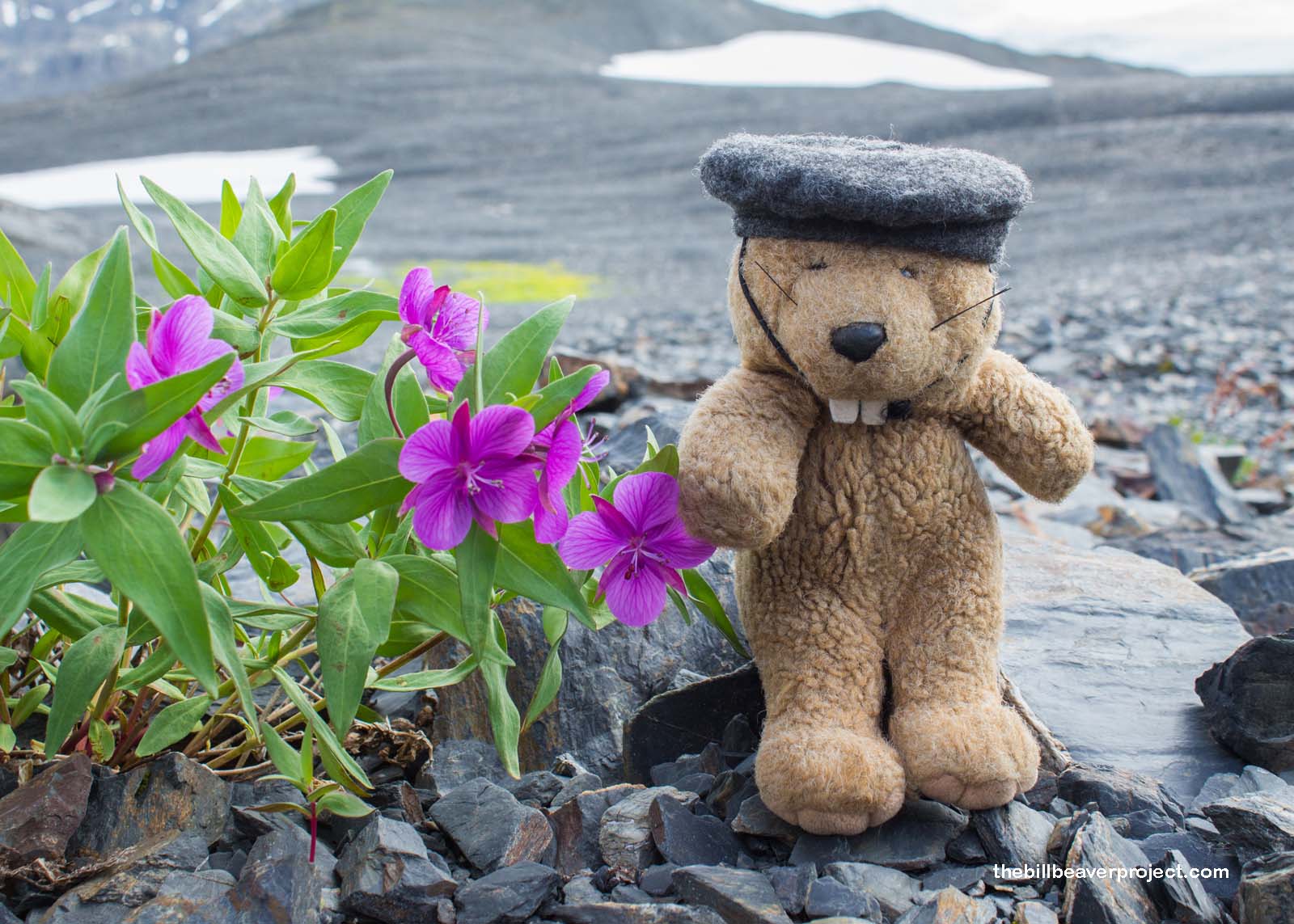
The hike started with a gradual slope upward through the misty air, the heat of the hike quickly melting all chills from the gloomy clouds. I was overwhelmed by the green, green, green! Everywhere green! Ferns and moss and berries! It was enough to make me wonder if we were going to run into any berry-hungry grizzlies, but the patches were bare of bears!
 |
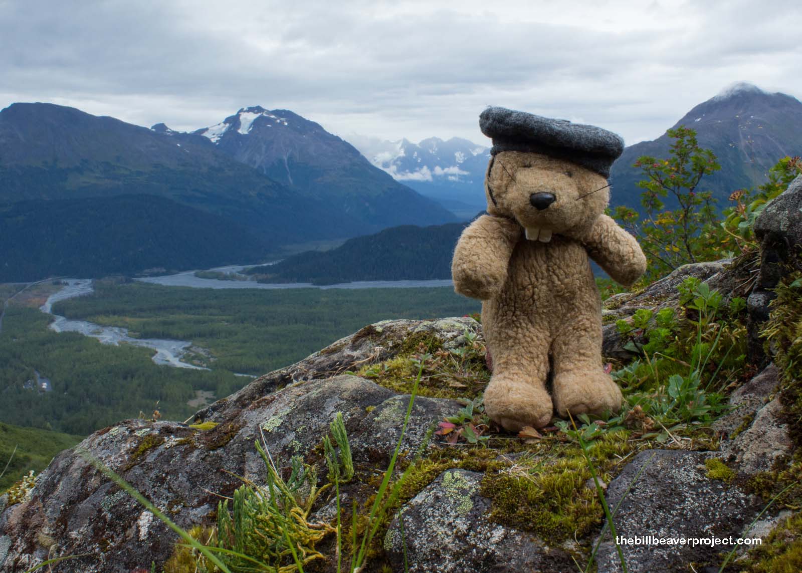 |
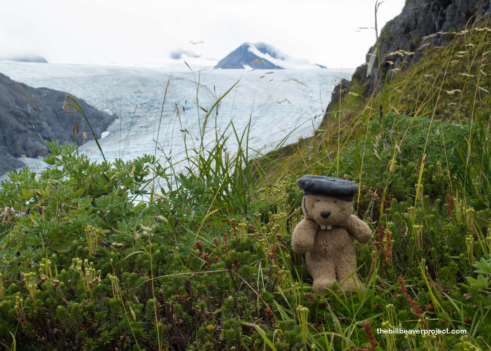
As we switched back and forth across the face of the mountain, the trees shrank away, and the plants turned into fernlike bunches, leading us up toward the lifeline where all green turned to rock. Between curves, we caught glimpses of Exit Glacier, the poster child for climate change, far below. Exit Glacier has shriveled in the last ten years (over 139 feet last year) from a magnificent fortress of ice to a sickly slope of slush! The trail leading to its base has to be extended every so often just to keep up!
 |
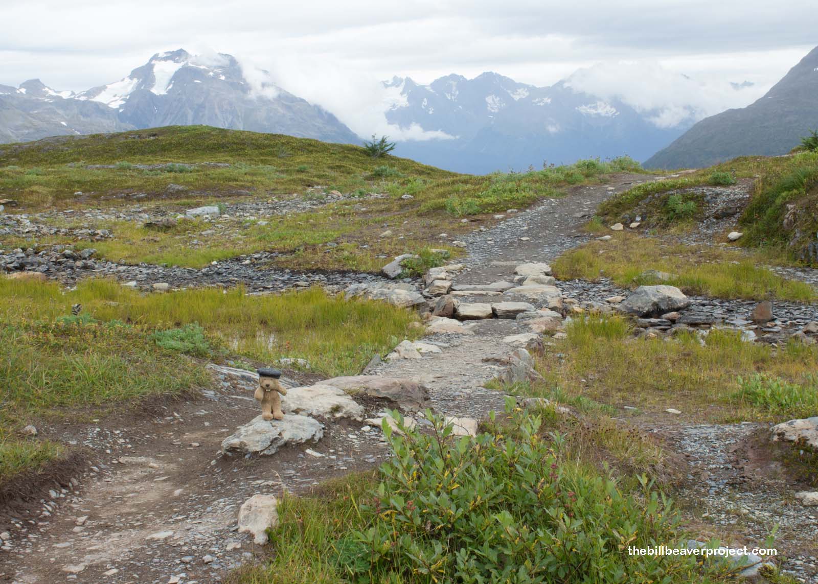
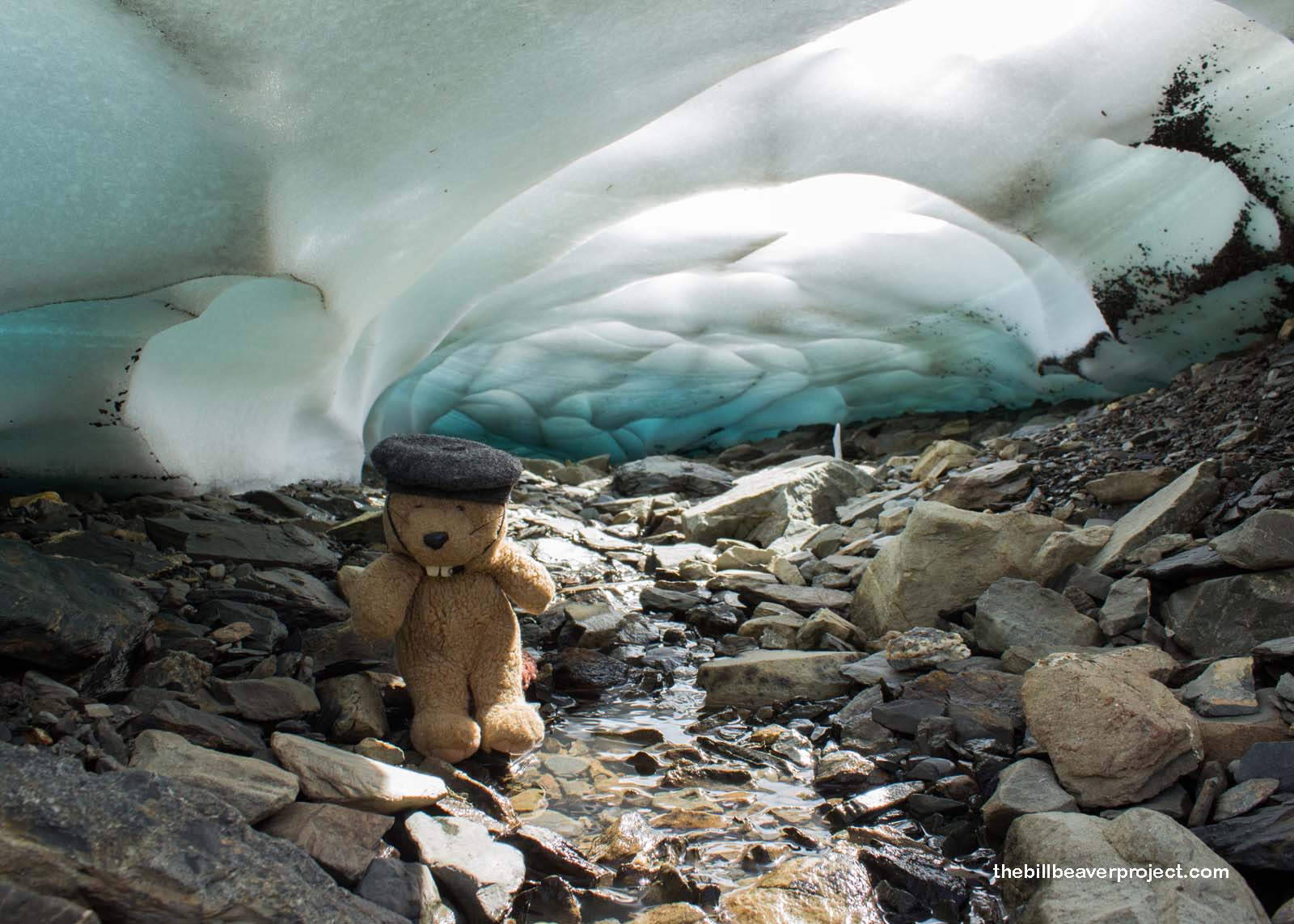
We walked on, minds full of wonders about how the shrinking ice and the changes our world will face in our lifetimes. We breached the lifeline, transforming the landscape into a gray and white wasteland of sloping, gravelly hills intermixed with tiny silty streams! The wind lashed at us from all sides, letting us know that we were in its domain and it was in charge of us. With still a mile to go until the viewpoint, we knew we weren’t in for an easy sprint to the finish!
 |
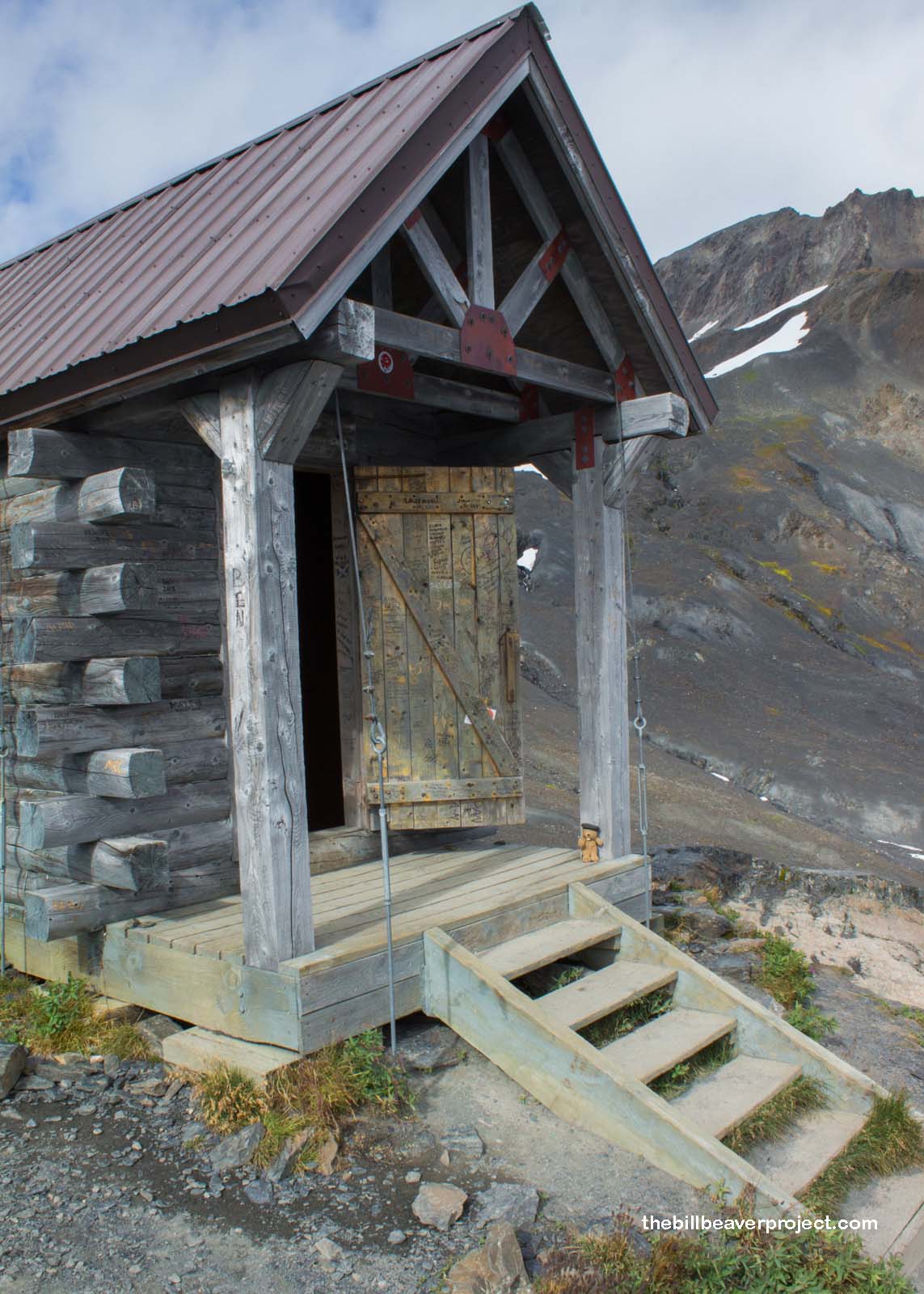
We took refuge in a high-mountain shelter as my camera battery light began to blink. The cold sure does eat away a battery! The refuge was well worn by both elements and the hands of conceited travelers who had etched their initials into the wood. But it served its purpose, and once we were warmed up, we set out again into the wind.
 |
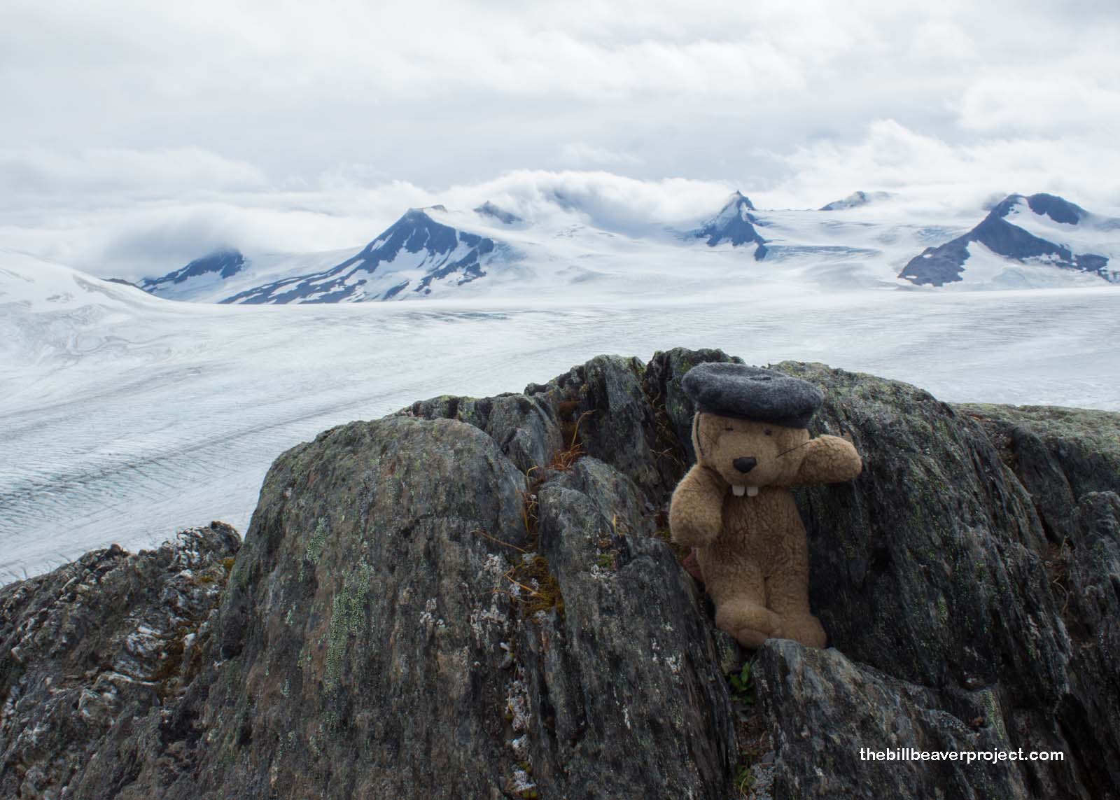
Peering between the hills, we were able to catch glimpses of the glacial mother in her vast magnificence!
 |
And I certainly could not overlook the tiny pieces of beauty clinging to life in this strikingly harsh environment!
 |
 |
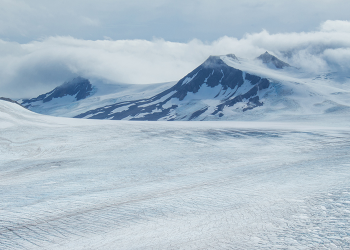
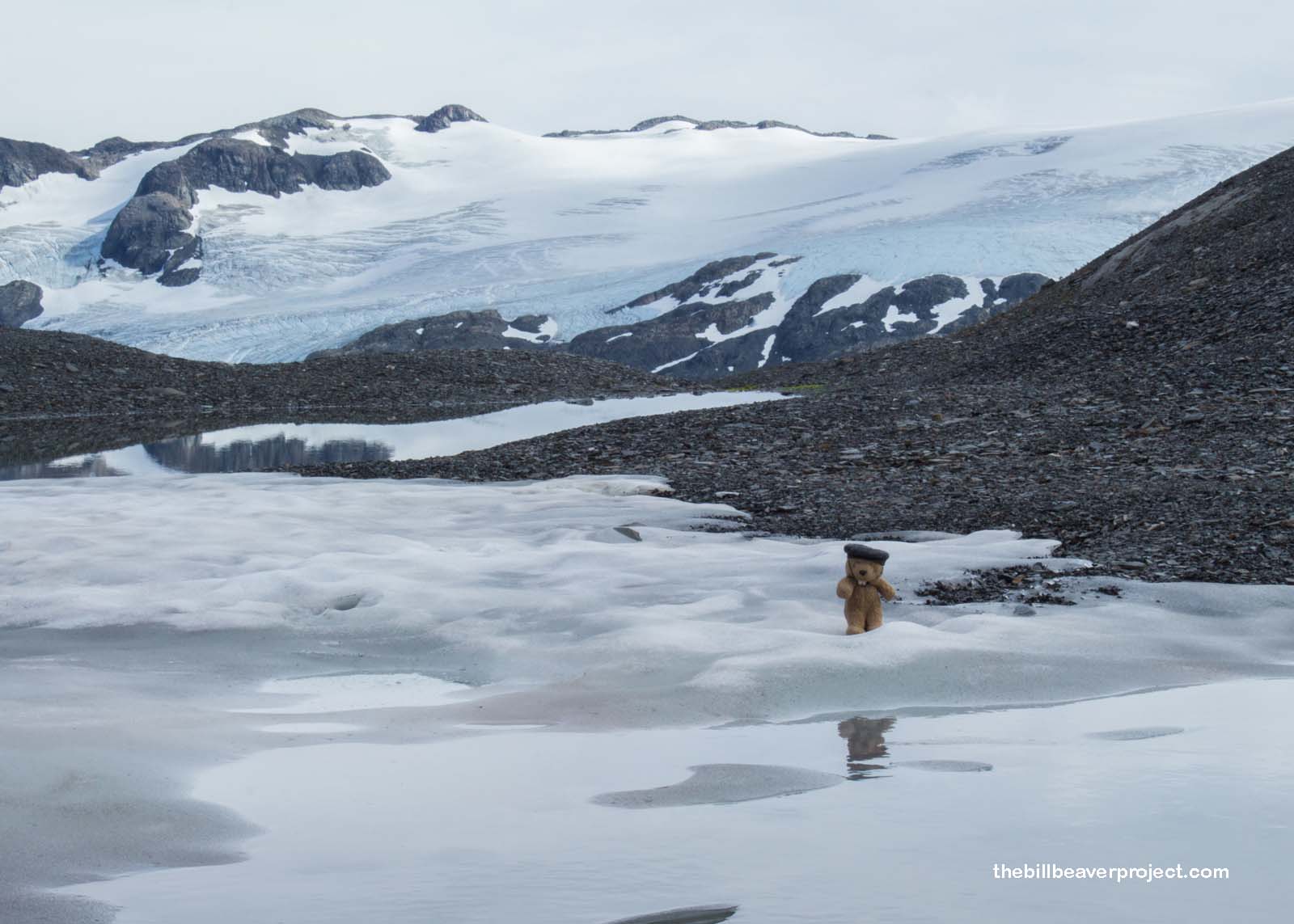
At last, we reached the end of the trail and stared out over the Harding Icefield, named for President Warren G. Harding, as she stretched in splendor far beyond our view! The clouds rolling in from the sea mixed and mingled with the snow on her surface, making it hard at times to distinguish ice from cloud! Despite the cosmic elements gradually wearing her down, she seemed so tranquil and at peace!
 |
The packing snow was surprisingly scarce up here, but I found just enough to bring back an old friend to share the view. Señor Castorieti came back in miniature, like Exit Glacier, but he was very happy to be up here in the snowy heights! I learned from him that this icefield stretches for 700 square miles and is the mother of over 30 glaciers!
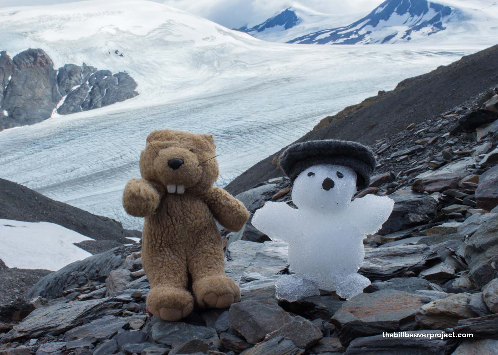 |
We commenced our traditional frolic, while my friend Ross ate some snacks and absorbed the view, but with small size comes small weight. A gust slammed into Señor Castorieti, and sent him sailing into the air. I reached out for his hand, but all I caught was my hat. So long, Señor Castorieti! May the climate be favorable for your return!
My camera battery died just as we started the trek downward, and I kicked myself for not bringing a spare because we got stuck in a mountain goat traffic jam! A mama goat and a kiddy goat were taking their time, grazing along the trail, enjoying the views, which forced us to sit back and enjoy the views ourselves, because you can’t tell a goat to git!
Once they finally cleared out, we cruised down the rest of the trail, happy to be out of the wind, and arrived back at the motorhome for some hot chocolate chip cookies to warm us back up! We motored out of the parking lot and made our way to Seward for some fine, fine seafood chowder at Ray’s Waterfront. YUM!
Setting with the sun!

Previous Day |
Total Ground Covered: 1,066.5 mi (1,715.7 km) |
Next Day |