 More Hikes |
Summit: 14,508 ft (4422 m) Trail: 22.0 mi (35.4 km) roundtrip |
 More Hikes |
A hiking we will go, everyone!
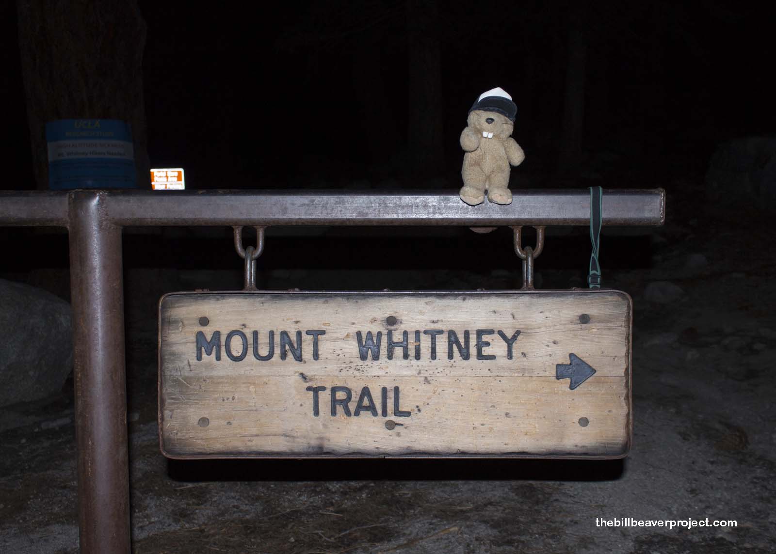
After three years of trying, my friend, Ross (you know, from my Alaska trip) and his hiking buddy, Tom, scored a permit to climb Mount Whitney, the tallest mountain in the lower 48 states! They invited me to tag along, and I just couldn’t turn down that opportunity! That meant forcing my way past the raging La Tuna fire by Burbank and getting to the site of another big disaster, Lone Pine, where we had to be at the Portal by 4:00 AM the next morning!
 |
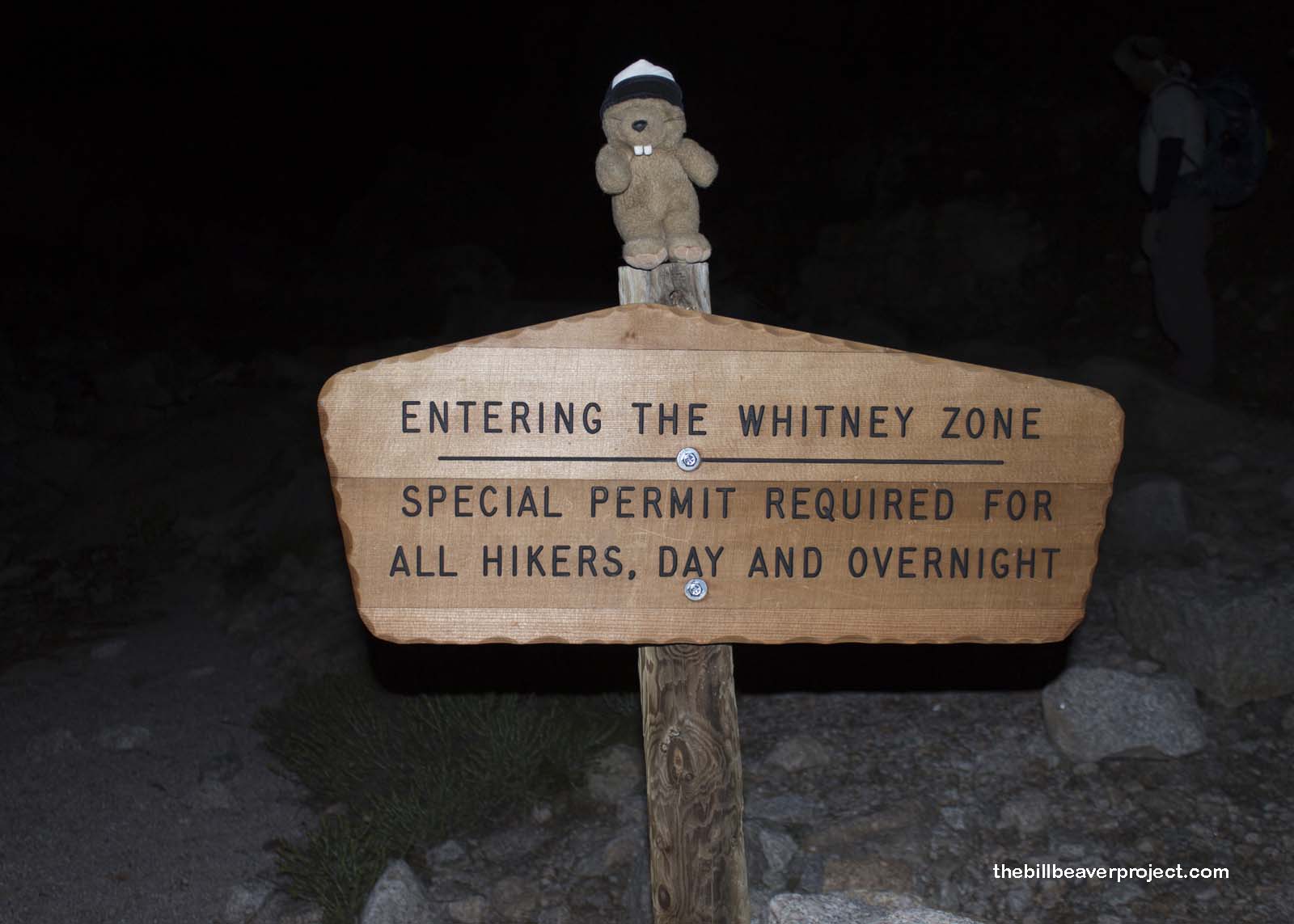
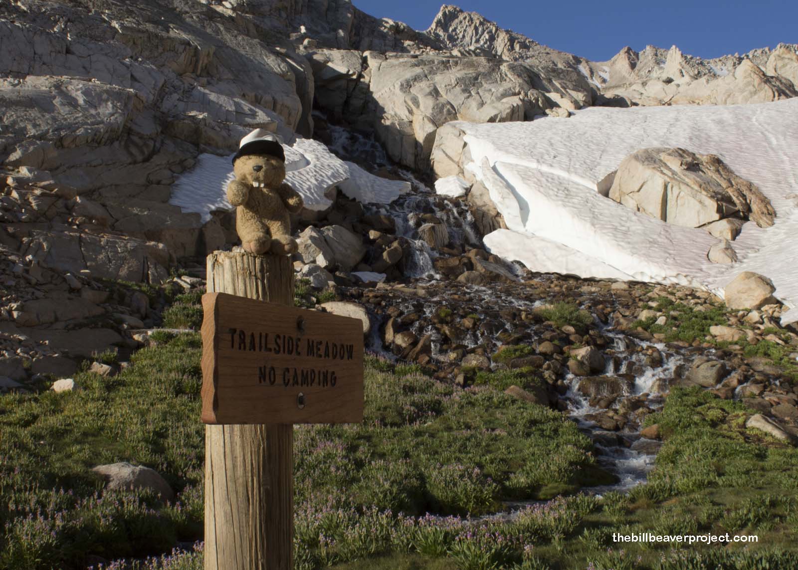
It was a long walk by headlamp, since we started hiking two hours before sunrise! It was surprisingly warm, but the pitchest of black! I had no idea what lay ahead of us, but over us, stars by the trillions shone unimpeded in the dark sky! After about an hour, we reached the sign that required us to have permits out on display. Mount Whitney is one of California’s most coveted peaks, which means it’s gotten a lot of abuse since the trail was finished in 1904. Now, the Forest Service has a permit lottery with a 35% acceptance rate. Though this date was the most popular day of the year for overnight permits, ours only gave us one day to reach the summit and return!
 |
After two hours and four miles of gentle switchbacks, the sun finally crept up over the soggy meadow we’d been traipsing through. It was a faint glow that brought the scenery to life, piece by piece. By the time we arrived at Mirror Lake, the sunrise was painting the top of the jagged peaks ahead in splendid pink!
 |
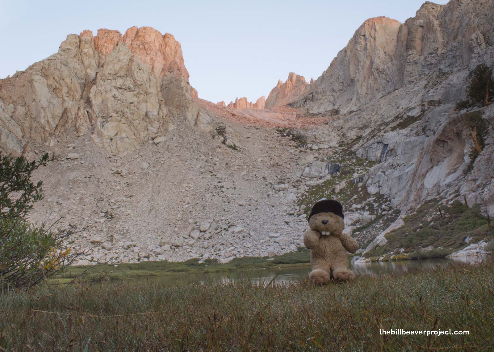 |
To give a sense of how high this mountain really is, we reached the timberline mere minutes after visiting this lake. At this line, the whitebark and foxtail pines faded away into high alpine meadows and shrubs!
 |
 |
That’s 11,800 feet above sea level, with seven more miles to go!
 |
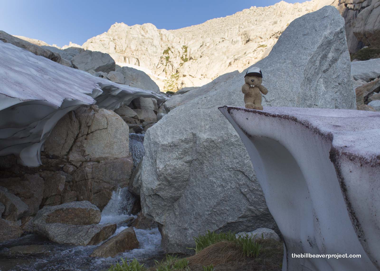
We were up so high that we came across some of California’s last glaciers! These lingering ice patches were once mighty forces that carved up the sheer peaks and deep canyons of the Sierra Nevada Mountains! Now, their meltwater trickles into a stream that grows into Lone Pine Creek and flows into the Owens River, which used to drain into Owens Lake. Now, most of the Owens River has been diverted into the Los Angeles Aqueduct that slakes L.A.’s thirst at the cost of turning the Owens Lake into America’s largest single source of fine (PM-10) dust pollution! All the more reason to enjoy the beauty of the ice while it lasts!
 |
 |
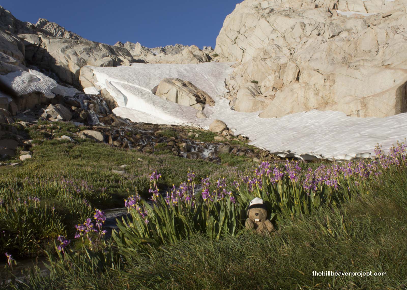
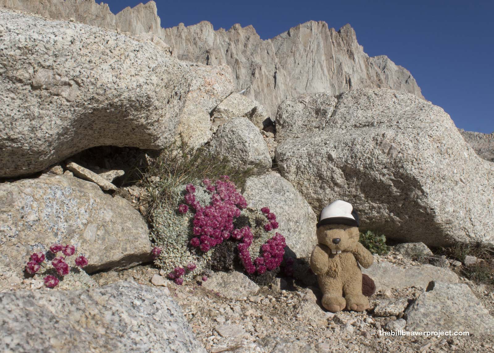
Before flowing into the dust bowl, though, this glacial runoff splashes through green meadows lined with friendly purple shooting stars like the kind I saw camping in Kings Canyon! The sun had just crept over the walls surrounding us, making these stars shine!
 |
 |
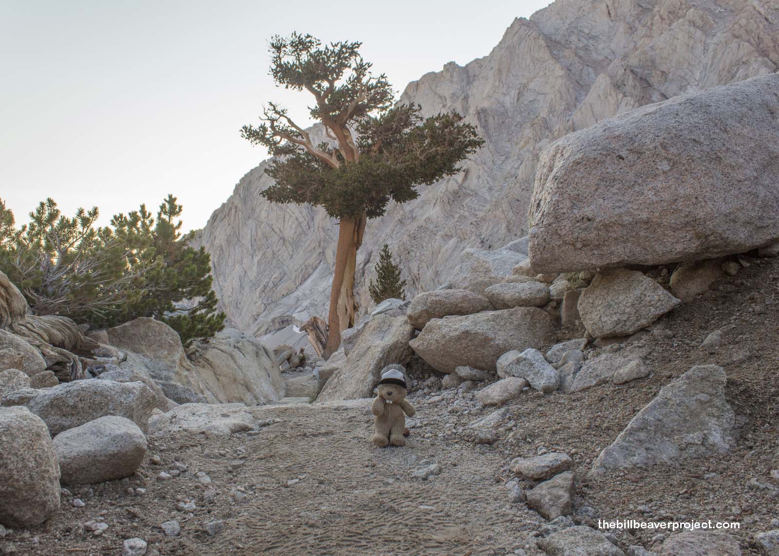
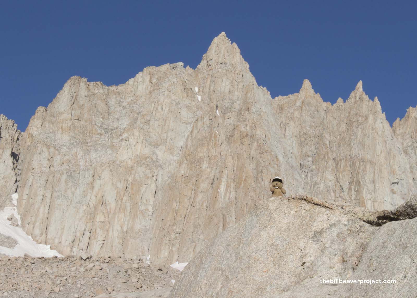
The color wasn’t to last long, though! A few switchbacks later, and we were not only above the tree line but also the shrub line. Gray stone took over the landscape, and contrast overtook color in the search for beauty!
 |
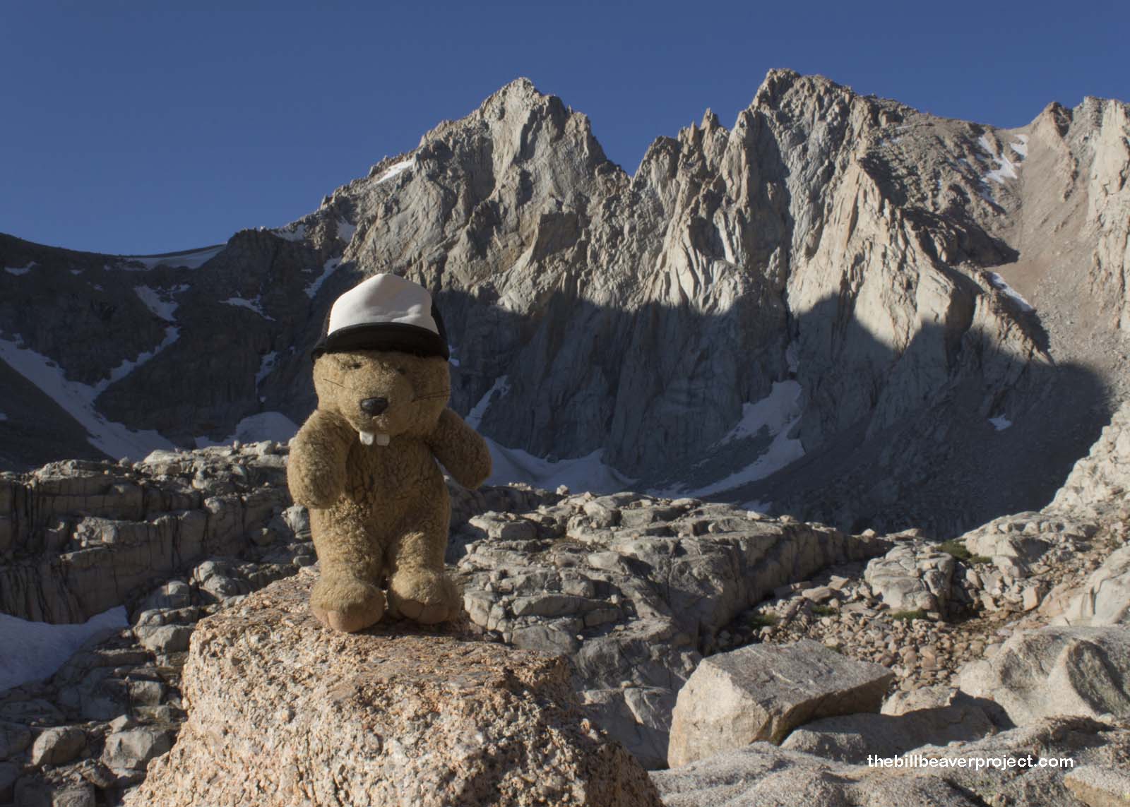 |
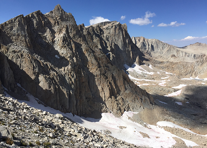
Up ahead loomed three jagged peaks: Mount Muir, Keeler Needle, and the mighty Mount Whitney, named for State Geologist, Josiah Whitney, in 1864! They reached high into the sky, stark and ominous as any villain’s fortress! It was hard to believe that we were actually supposed to get up to the top of them in the next few hours!
 |
 |
Nevertheless, that was our goal, and we began the first of the rumored 97 Switchbacks winding up the side of this steep, boulder-strewn slope, through a shallow stream, with our destination in plain view the whole time.
 |
It would be rough living up here, but some life is still clinging to the slope! There were scampering pikas and whistling marmots, as well as cushion buckwheat plants in full bloom! Every glimpse of color helped a little as the switchbacks wound up and up…
 |
…and up…
 |
…and up…
 |
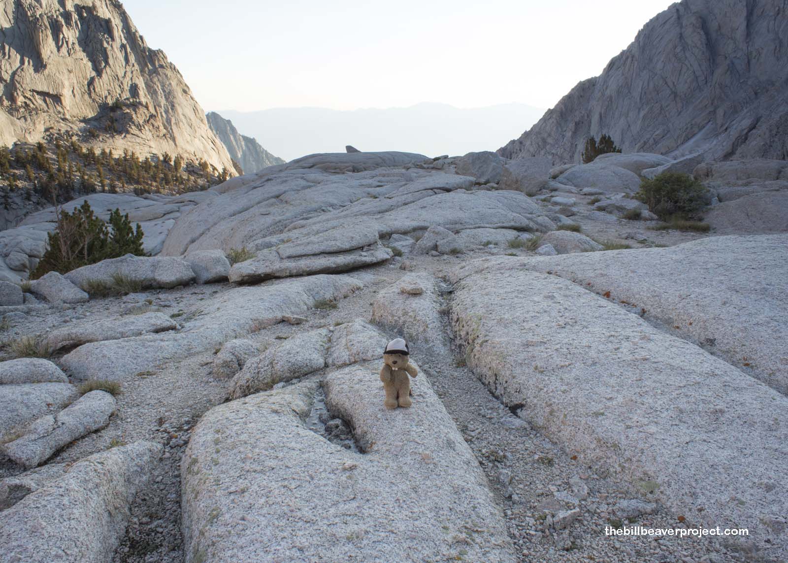
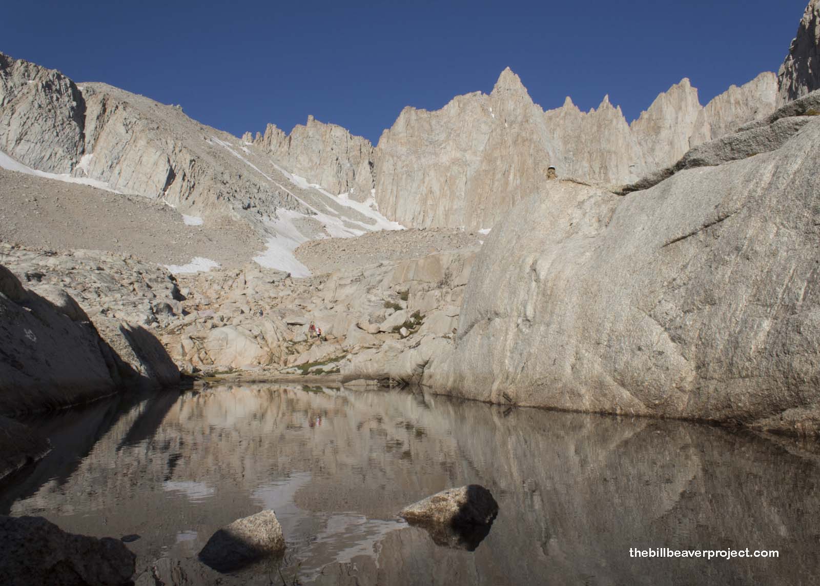
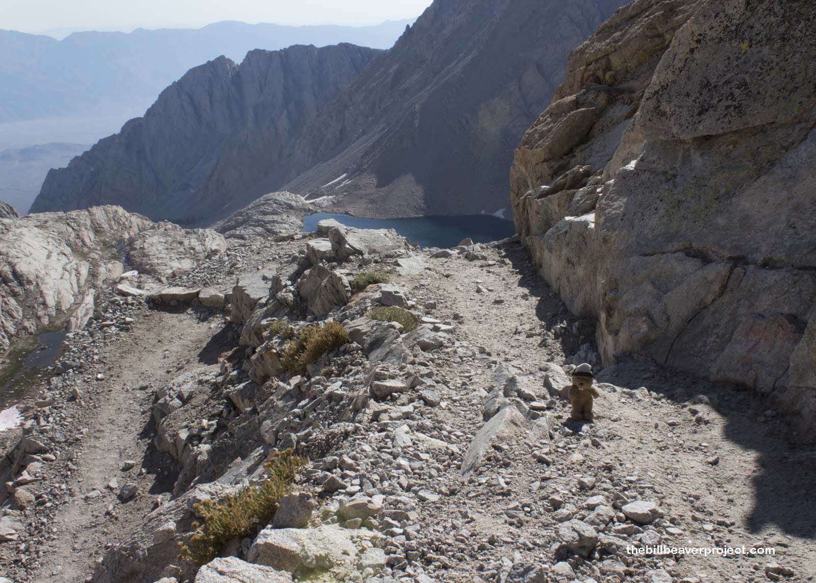
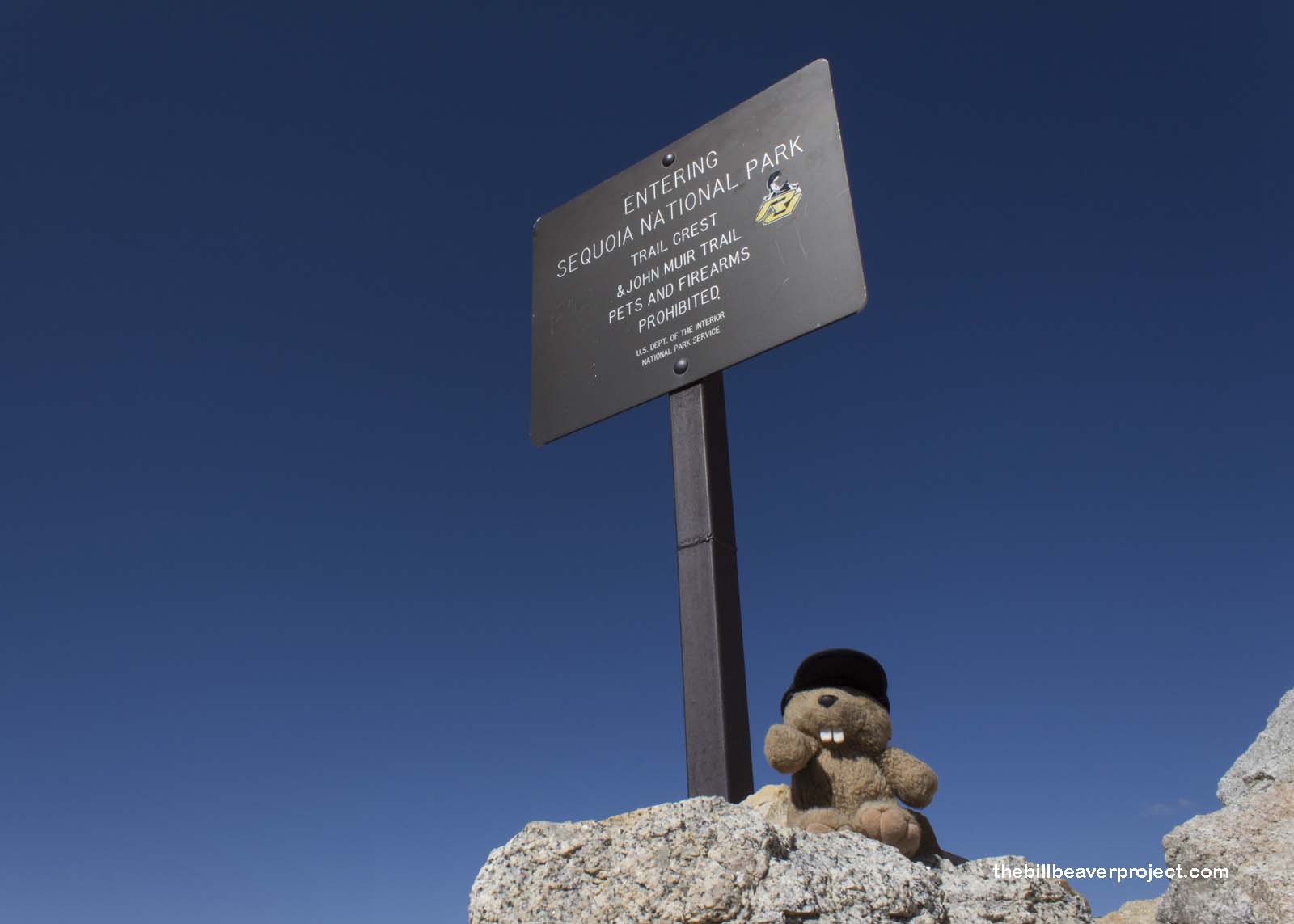
…and up, until at last we reached the Trail Crest at 13,700 feet above sea level! At this point, the Mt. Whitney Trail intersected the John Muir Trail, which runs all the way from here to the Yosemite Valley 210.4 miles north! I could see that trail winding down the hill and vanishing into the distance far beyond Guitar Lake!
 |
We were also about to cross into a side of Sequoia National Park that I sure never thought about after my visit in 2011! Nevertheless, the last leg of our journey would take place just within the boundaries of this park, famous for dense forest and massive trees. None of those were to be seen anywhere, only vast stretches of cliffs and clouds!
 |
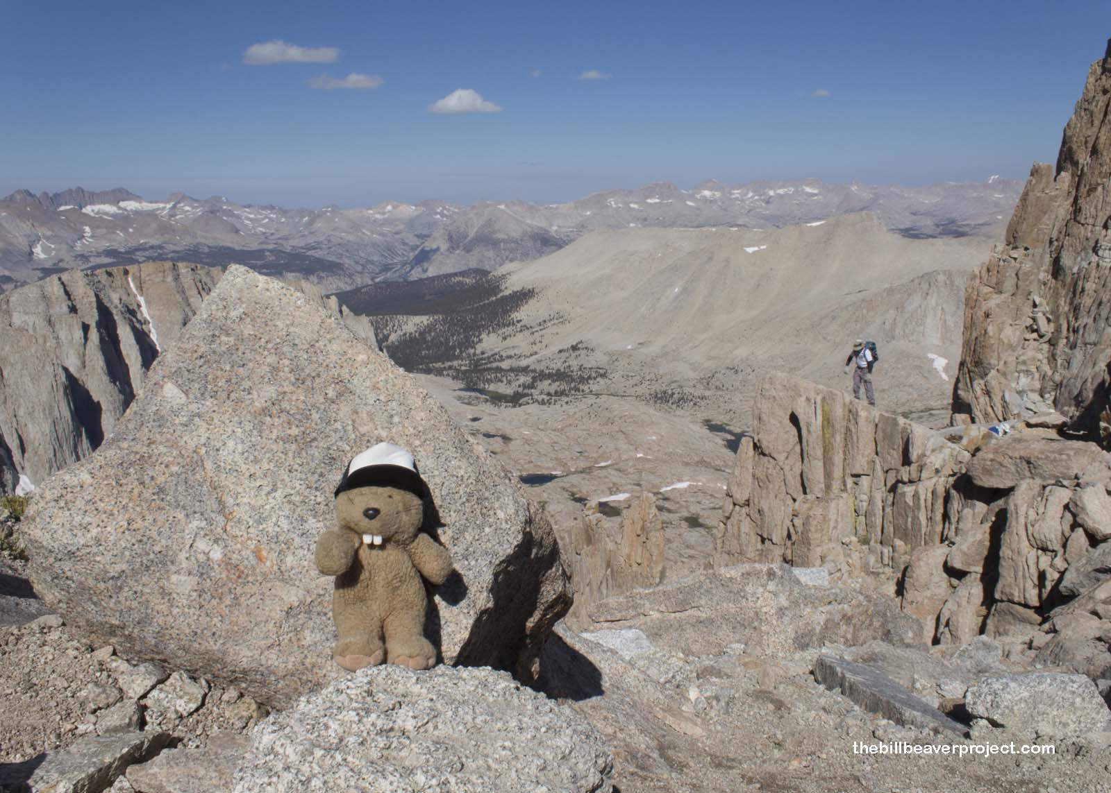
Here at the top of all those switchbacks, my lungs were feeling pretty starved, and I needed to take a breather. If you’ve got to rest and recover your strength, this view is just about as great as it gets. But apparently it could get even better!
 |
 |
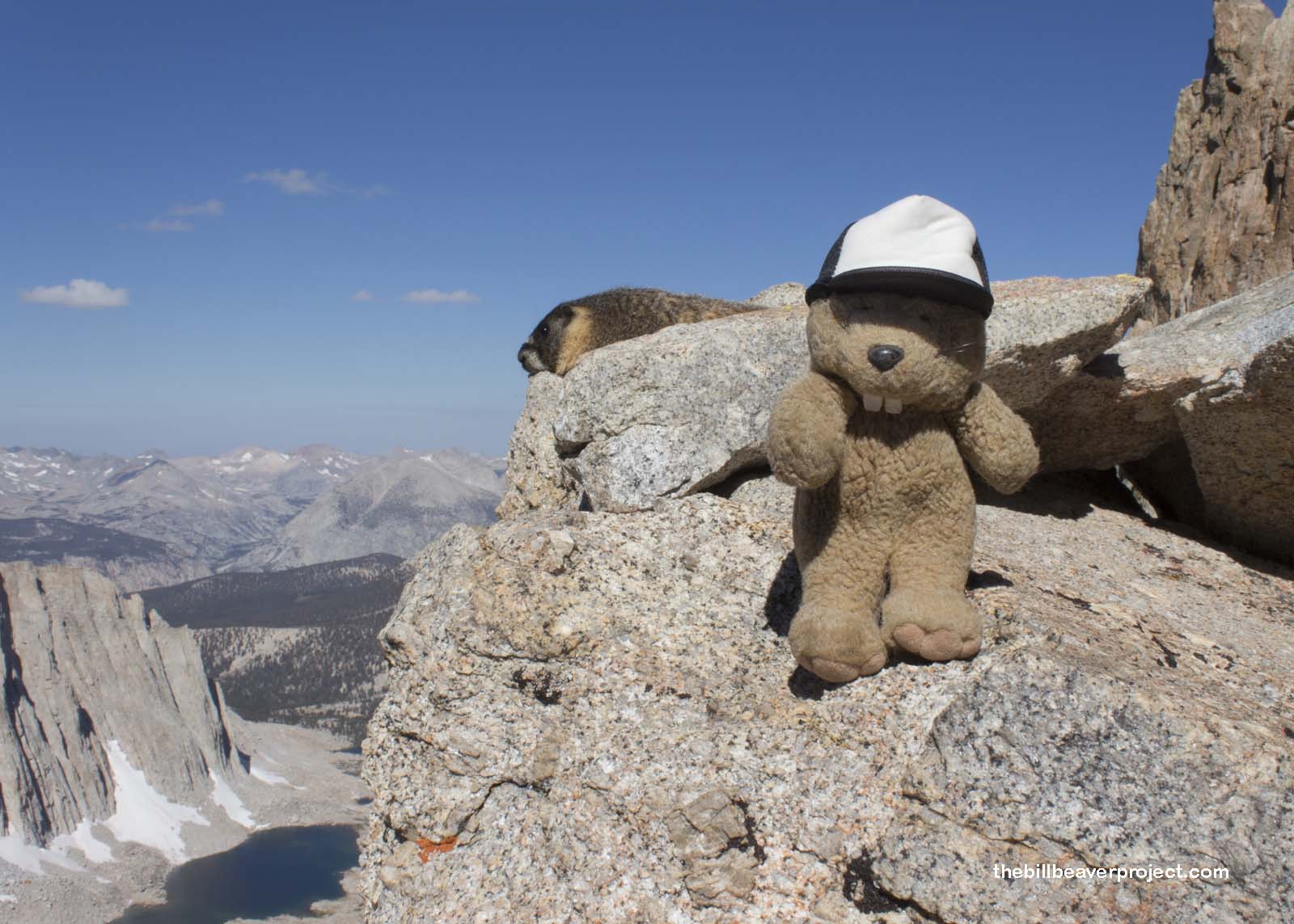
I heard a shout over my shoulder, and I looked up to see a very plump marmot waving me up to his perch on a rock. He invited me to get up and away from the feet of all the humans. He liked humans; they often fed him even though they weren’t supposed to, but they did tend to stomp around a lot. He wasn’t complaining though. Winter was coming, and he needed all the help he could get for a successful hibernation!
 |
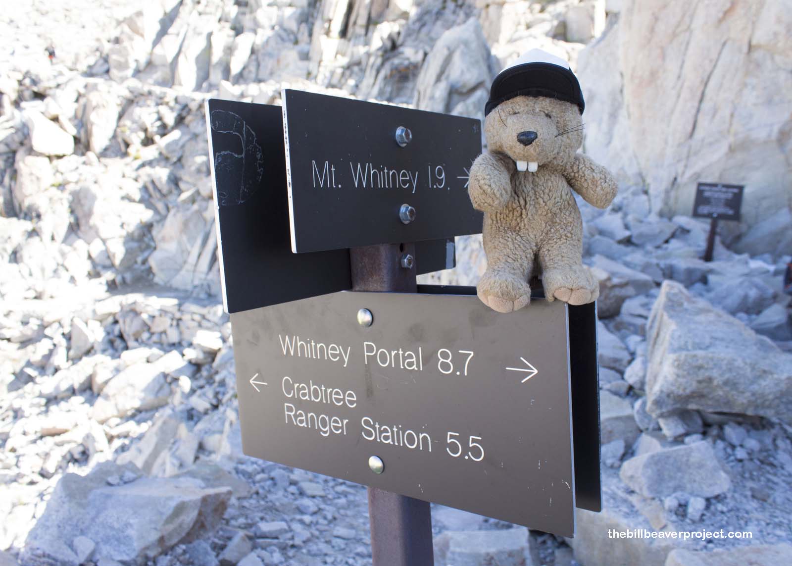
When at last, my breath returned, I said “So long” to my new friend and turned my attention to the last stretch of the hike. The way began with a discouraging downhill that I knew would have to be done over later, and then a sign pointed up to the summit, a mere 1.9 miles away!
 |
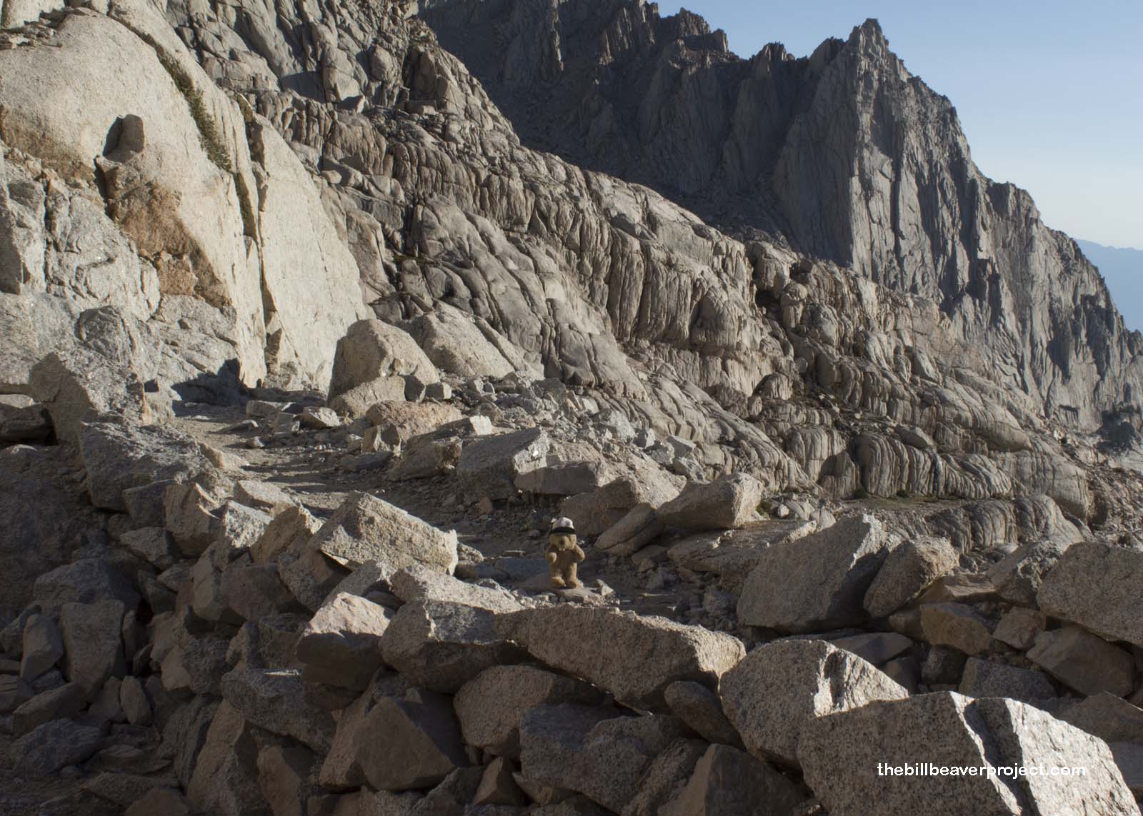
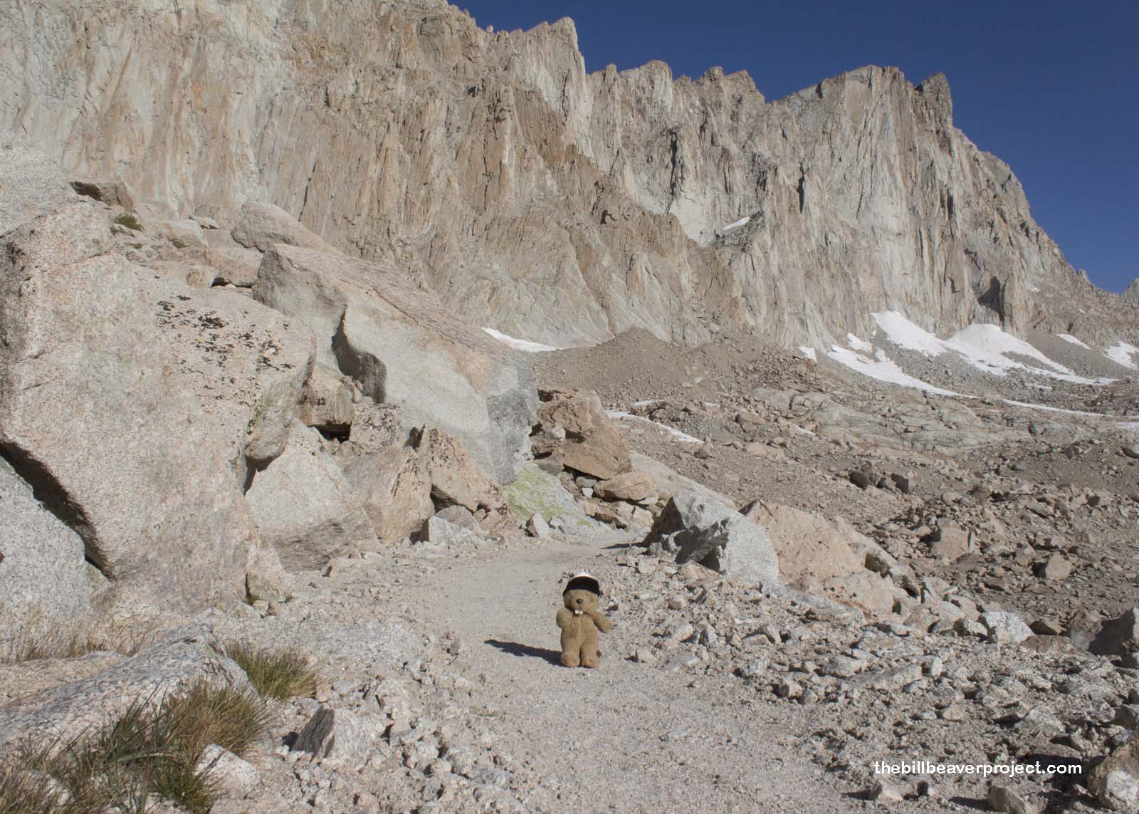
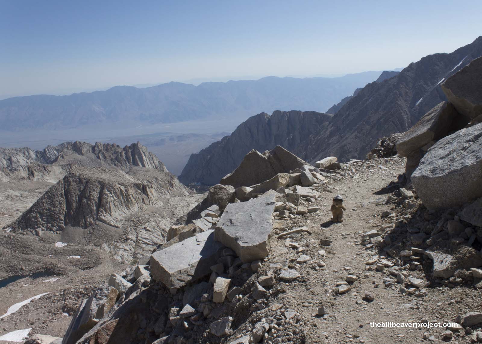
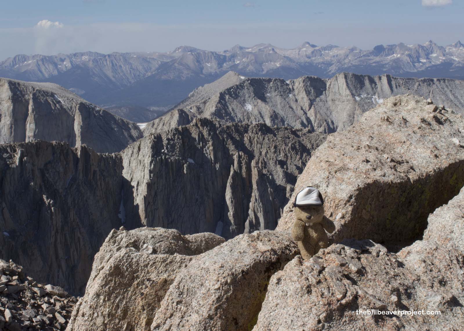
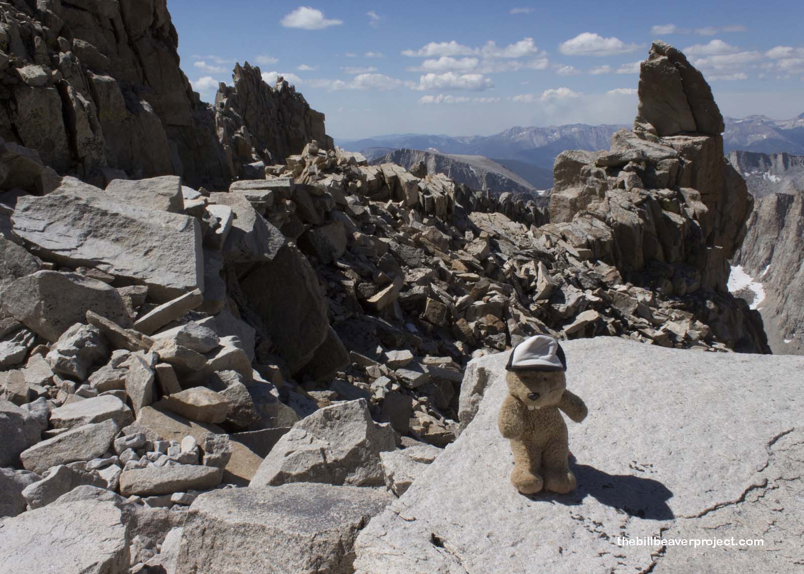
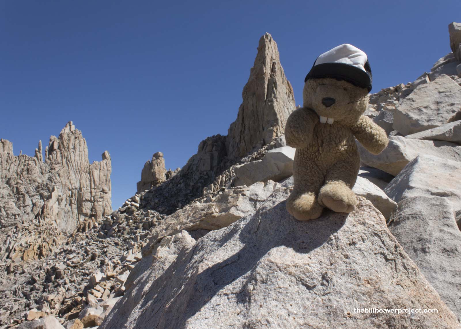
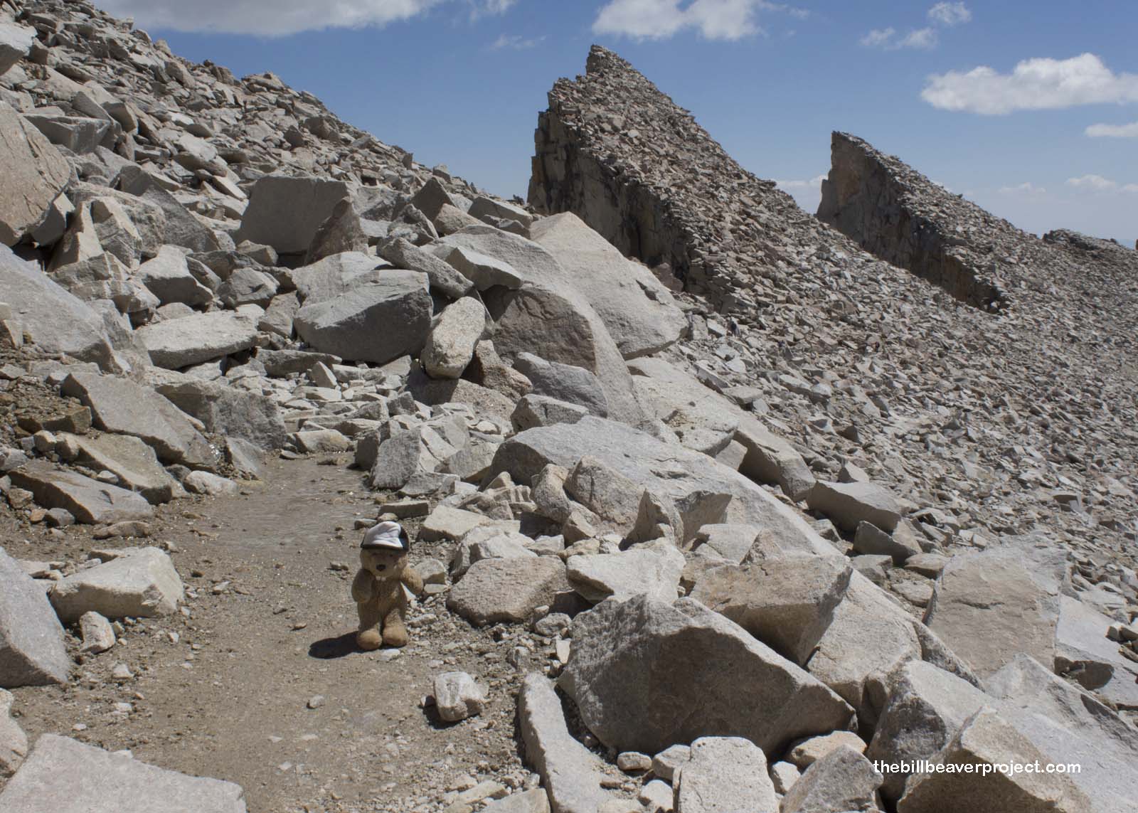
As soon as this last stretch began, so did the mind games! By now, there were no plants left at all, only boulders of various shapes and sizes. The lack of oxygen was making my head pound, so it made sense that I was walking into a stretch appropriately called the “Cliffs of Insanity.”
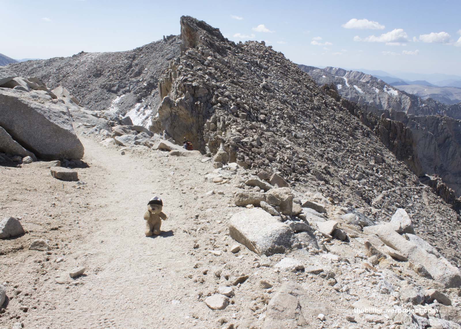 |
On the left, the ground fell away to certain death! On the right, boulders piled up to create massive walls, monoliths, and arches! The trail wound through several passes, rich in texture and contrast, made even more intense by the pounding of my heart in my ears and the tingling in my fingers!
 |
 |
That pounding only got more intense as I went. I got pretty dizzy each time I had to step up over a larger boulder in the trail. Coming up from sea level is tough, and my Kings Canyon hike wasn’t even close to enough training! It was getting to the point that I was having to rest every five minutes or so, which made this last stretch seem to take forever. My friends were going much faster than I was. I needed some help!
 |
A snow patch gave me an idea! At my next rest stop, I packed together some clumps of snow, took off my hat, and brought Señor Castorieti to life once again! I hadn’t seen him since the Bruce Trail, and though there wasn’t very much snow up here either, he was much happier now than he was then!
I asked Señor Castorieti for some advice to conquer this last leg. He thought for a moment before telling me I was five rests from the top, but if I was determined enough, I could make it in three! That was a novel idea, and I steeled my will. I was going to make it in three stops! With a bow, Señor Castorieti leaped into a slide down the snow bank, not realizing that the snow ended in a cliff! Poor Señor Castorieti!
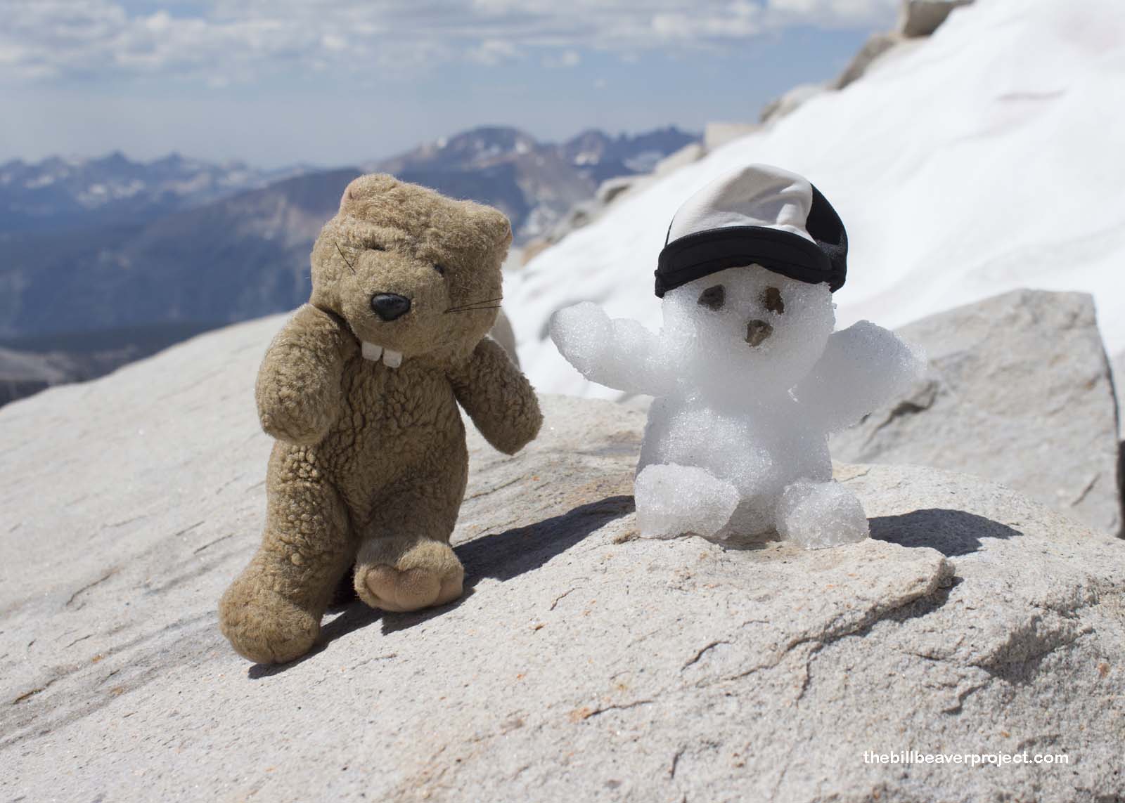 |
He’d made a good point, though. One rest stop, two rest stops, three rest stops went by. It couldn’t be that much further, right? But then more people started coming down with smiles on their faces, and at last, the historic summit hut appeared! This hut was built by the Smithsonian Institute in 1909 as an observatory to detect water on Mars! It took a month to construct, and if you can believe it, all of the building supplies were carted up this trail by mules!
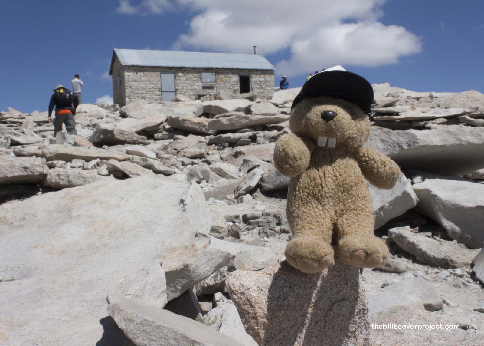 |
This was it! I was within sight of the summit of Mt. Whitney! I reconnected with my speedy friends, and together we made the last push among a crowd of international mountaineers until…
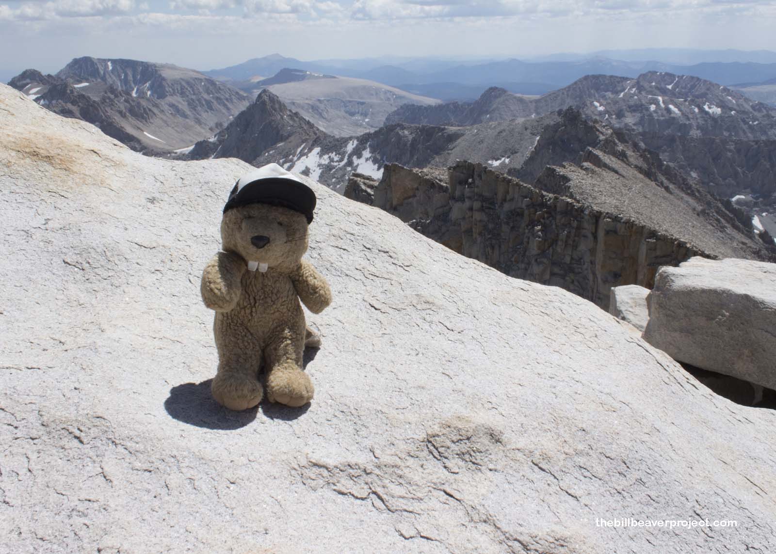 |
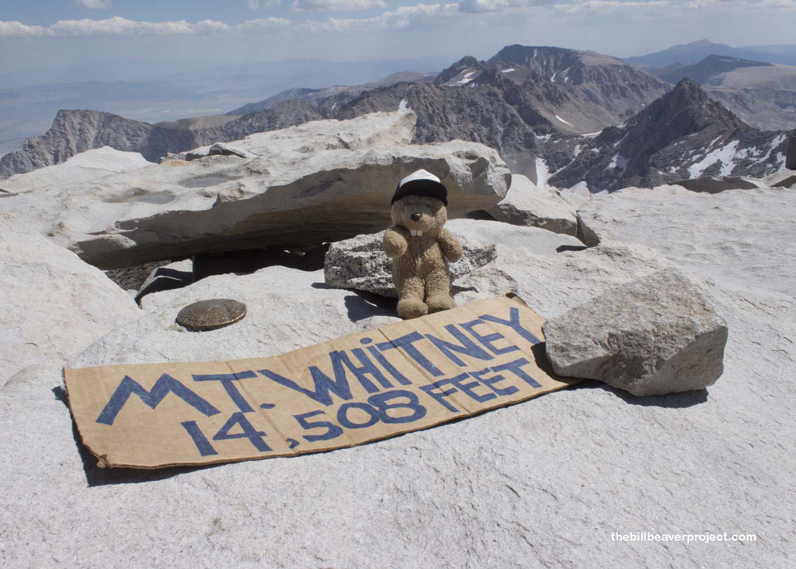
We reached the windy summit at 1:00 on the dot, nine hours after leaving the Portal in the dark! My head swirled, partly from the elevation (an astonishing 14,505 feet above sea level), but also from the amazing view on all sides! There were markers everywhere! I had no idea why a summit needed so many, but I was happy to see each one! Someone had left a cardboard sign under some rocks, and folks were taking turns snapping photos with it! I had to join them!
 |
Off in the distance, a summer fire was burning, and above the smoke, afternoon clouds were forming. Concerned about an approaching storm, we only had enough time for what few snacks our exhausted stomachs would hold, before turning downhill. Five hours of pounding feet later, punctuated by sips from the glacial stream on the Switchbacks, we returned to the Portal, not much brighter in the dusk than when we left it before dawn! We had conquered Mount Whitney, and now it was time for a big dinner to celebrate. Back to Lone Pine we go!
Tuckered out and tucking in!

More Hikes |
Summit: 14,508 ft (4422 m) Trail: 22.0 mi (35.4 km) roundtrip |
More Hikes |