 Previous Day |
Blanding → Oljato-Monument Valley 114 mi (183.4 km) |
 Next Day |
Um waynuma everyone?
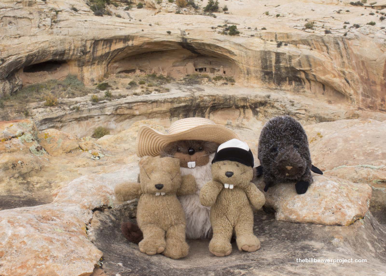
That’s a standard greeting in the language of the Hopi, descendants of the ancestral Puebloan people, whose ancient home we gazed upon first thing this fine morning on our way to Natural Bridges National Monument! After motoring west from Blanding, we arrived at the trailhead for Butler Wash Ruins. At the end of a short trail, we looked out upon an exquisitely preserved home high on a cliff, left behind by farmers of a time long, long ago.
 |
It’s important sites like these that now fall under the protection of Bears Ears National Monument, Utah’s newest and second largest at 1.35 million acres, spanning most of San Juan County! Taking up that much land has brought up a pretty fierce controversy between locals and adventurers. That’s enough for a whole other blog (stay tuned), but for now, we waved at Utah’s newest national monument on our way to its oldest, now swallowed up like Lesotho!
 |
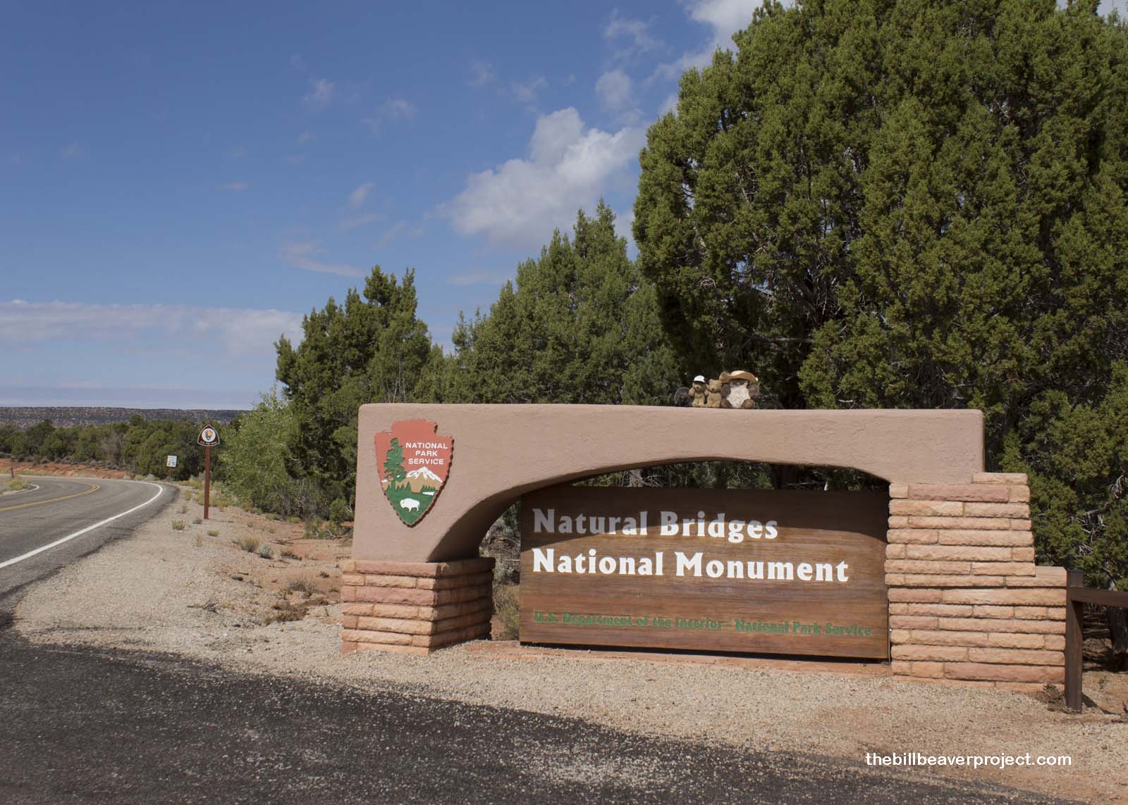
Natural Bridges National Monument was proclaimed the same way as Bears Ears, via the Antiquities Act of 1906. After National Geographic documented the area in 1904, it took four short years for President Teddy Roosevelt to proclaim it a national monument. That was when it took a three-day horseback ride from Blanding to get there!
 |
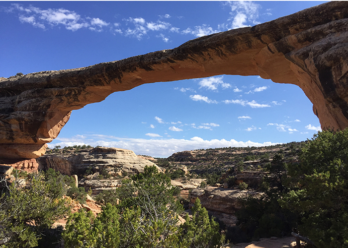
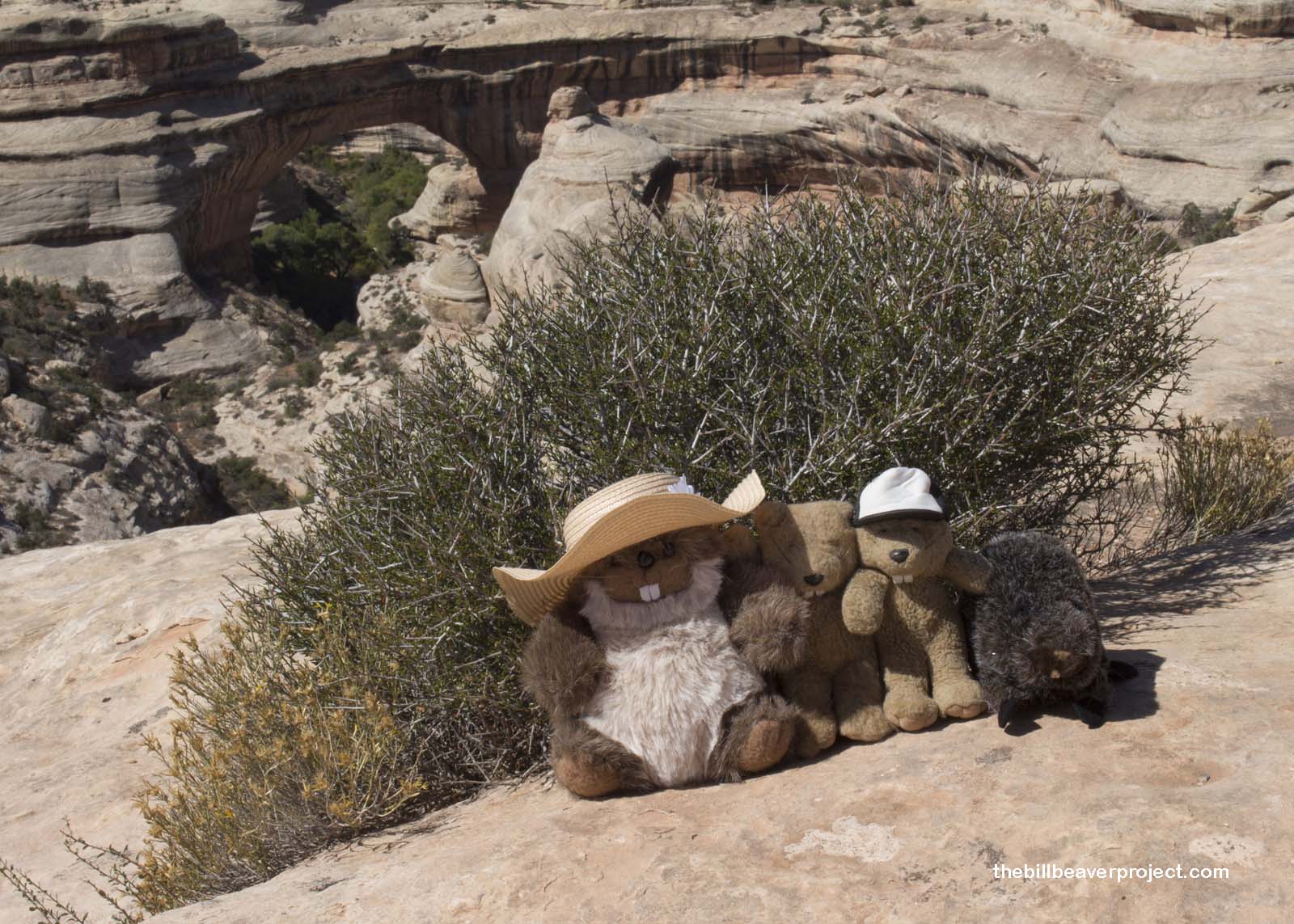
Now, there’s a lovely loop along the canyon rim that gives visitors to the monument a great view of its three main bridges: Sipapu, Kachina, and Owachomo! We stopped first at the Sipapu Bridge overlook. Sipapu is the largest of the three bridges, spanning 180 feet across! In 1908, when William Douglass was surveying the new monument, he thought Sipapu was a more appropriate name than “President” or “Augusta,” because this Hopi word means “place of emergence!”
 |
I really wanted to hike down to one of these neat bridges, but it was so hard to decide which one. When we heard some other visitors talking about the petroglyphs at the base of the middle bridge called Kachina, that seemed like a pretty good compromise. So, we started down the steep trail, passing under huge rock overhangs decorated with daring junipers!
 |
We passed down narrow and harrowing stairs that had Woodchuck quivering with fear. He’s really not a fan of heights, which I sure didn’t know about him! He didn’t seem that upset when we visited Devils Postpile back in 2012, but we also weren’t too close to any cliff edges!
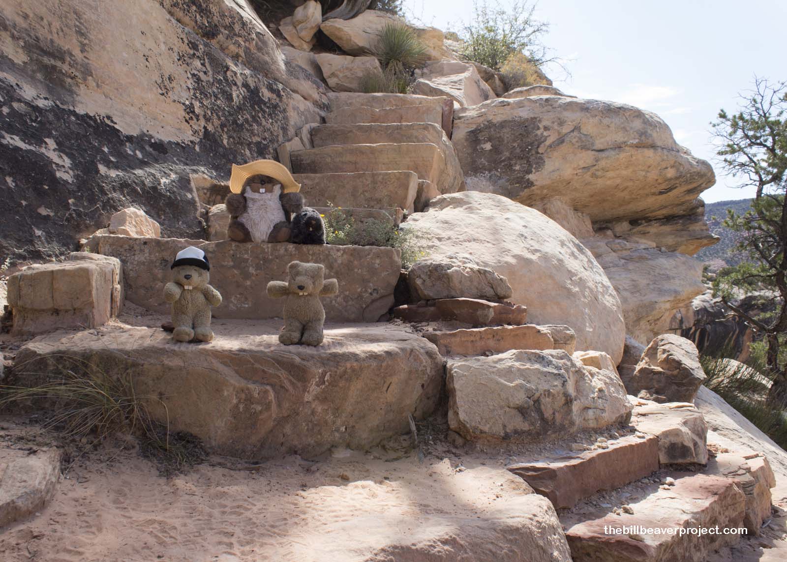 |
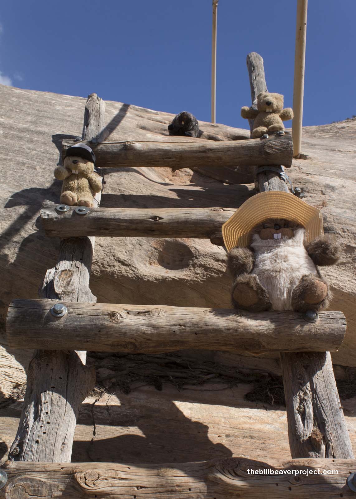
So when we arrived at a wooden ladder, and started climbing down, Woodchuck stayed back. We called up to him to come down, but he wouldn’t budge! He shouted down all kinds of things like “You’re all crazy!” and “Beavers aren’t built for this!” but we didn’t listen. Mom went up there all by herself, picked up Woodchuck, and carried him down the ladder like he was a kit. Boy, was he embarrassed, but Mom wasn’t going to let fear get in the way of our family memories!
 |
We reached a crossroads (crosstrails?) that pointed us in two possible directions. There is a long trail through this riverbed that connects all three bridges from Sipapu to Owachomo. I thought it would have been neat to do the whole trail, but it was already kind of late in the afternoon. We kept right for the half mile remainder of our hike.
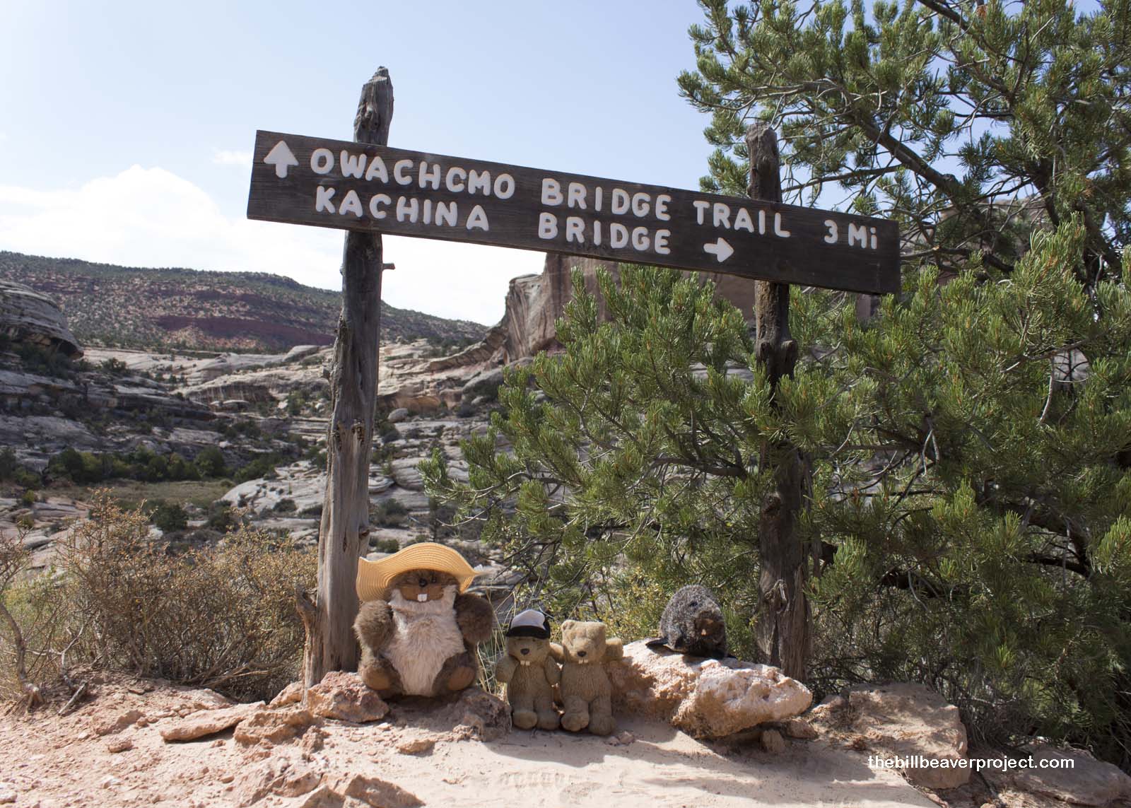 |
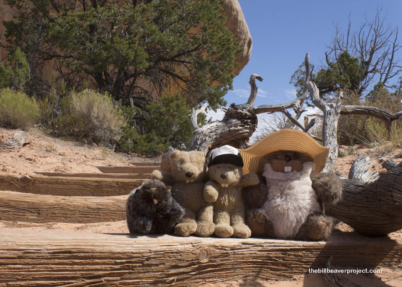
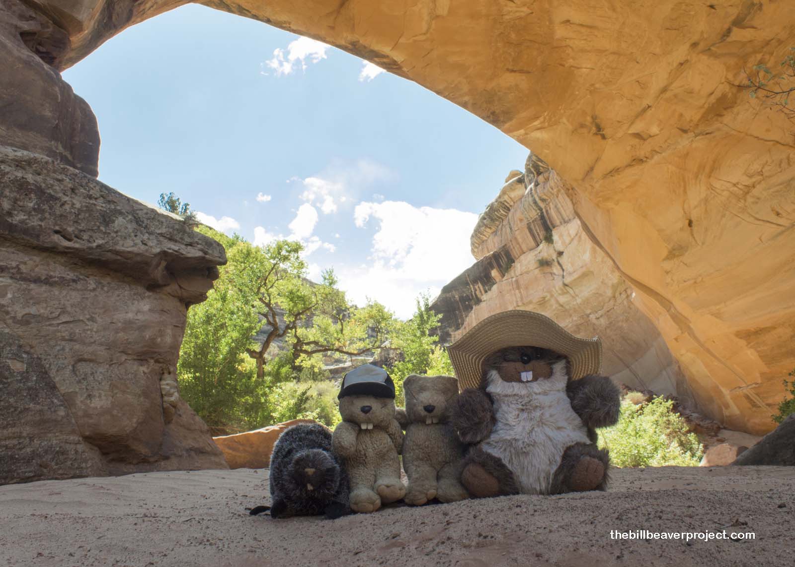
At last, we reached the sandy river bed. The cottonwood leaves still weren’t to shades of Lastleaf yellow and the petroglyphs were way high on the wall for photos, but the bridge itself swallowed us up in its majesty! The youngest of the bridges, Kachina Bridge was formed by years of a river carving its way into the sandstone, eventually breaking through one of the walls it was carving! Over time, wind and freezing have expanded this mighty window into an extraordinary gateway! It was mind-blowing to imagine the lifespan of a youngster like Kachina Bridge!
 |
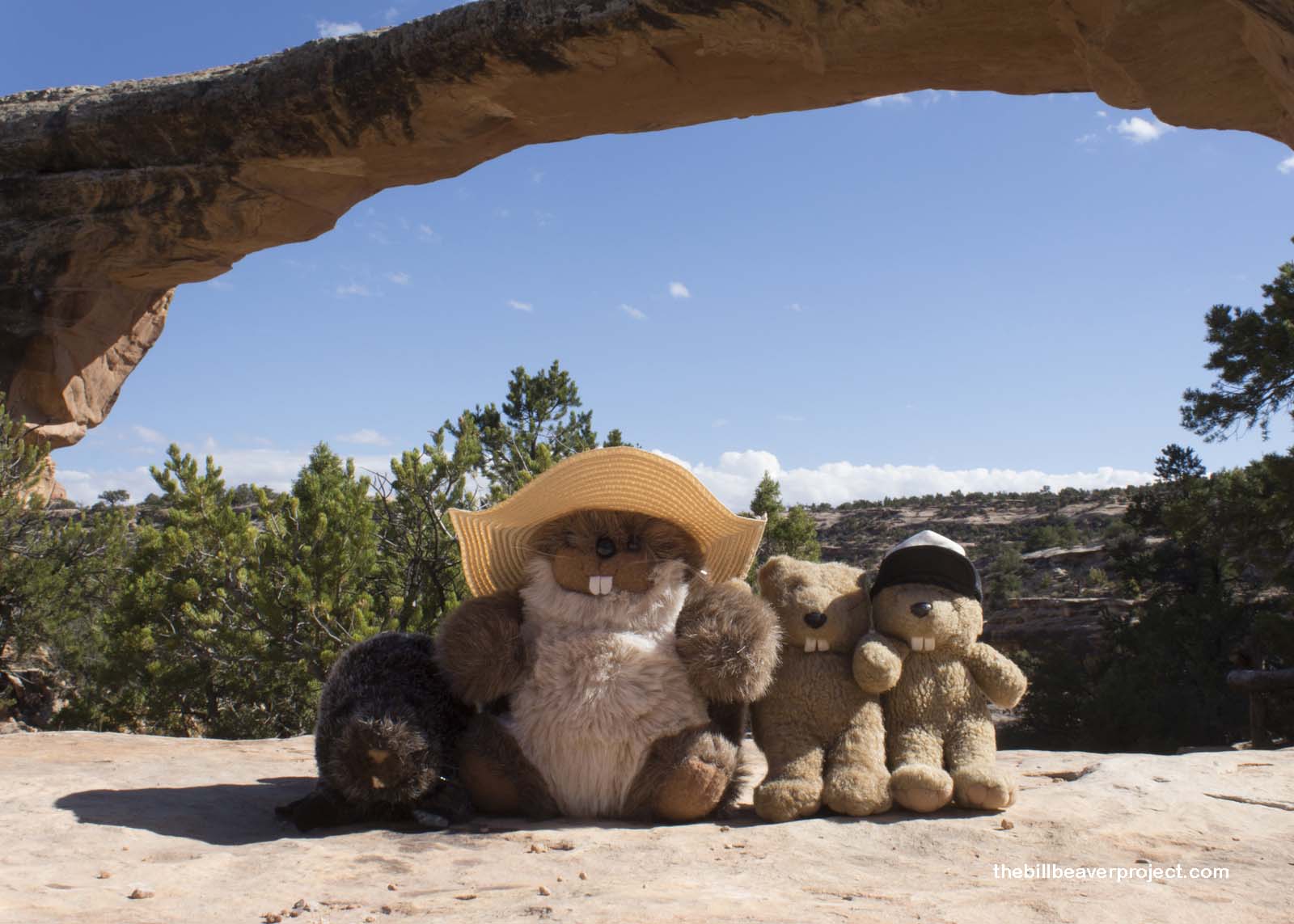
We made it safely back up the trail in time for a lunch of avocado and spinach sandwiches before a short jaunt to our last bridge. Owachomo is the thinnest and most delicate of the Monument’s bridges because it’s believed to be the oldest. No one knows for sure how old this bridge really is, but it’s hanging in there, holding together two massive rock faces!
 |
After enjoying our final natural bridge, we headed south to catch a sunset at our next destination. The countryside of southern Utah became parched and stark, pockmarked by hogbacks and hoodoos like the famed Mexican Hat rock formation in the town of Mexican Hat! We were heading for one of Utah’s most iconic landscapes, hoping to catch a sunset over the famous structures that give this tribal park its name.
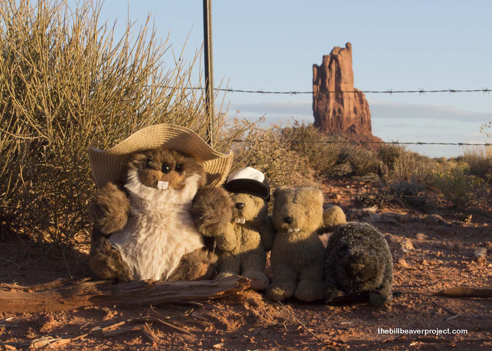 |
After some careful climbing up a barbed wire fence, we watched the last pink glimmers of the sunset over Monument Valley’s famous mittens.
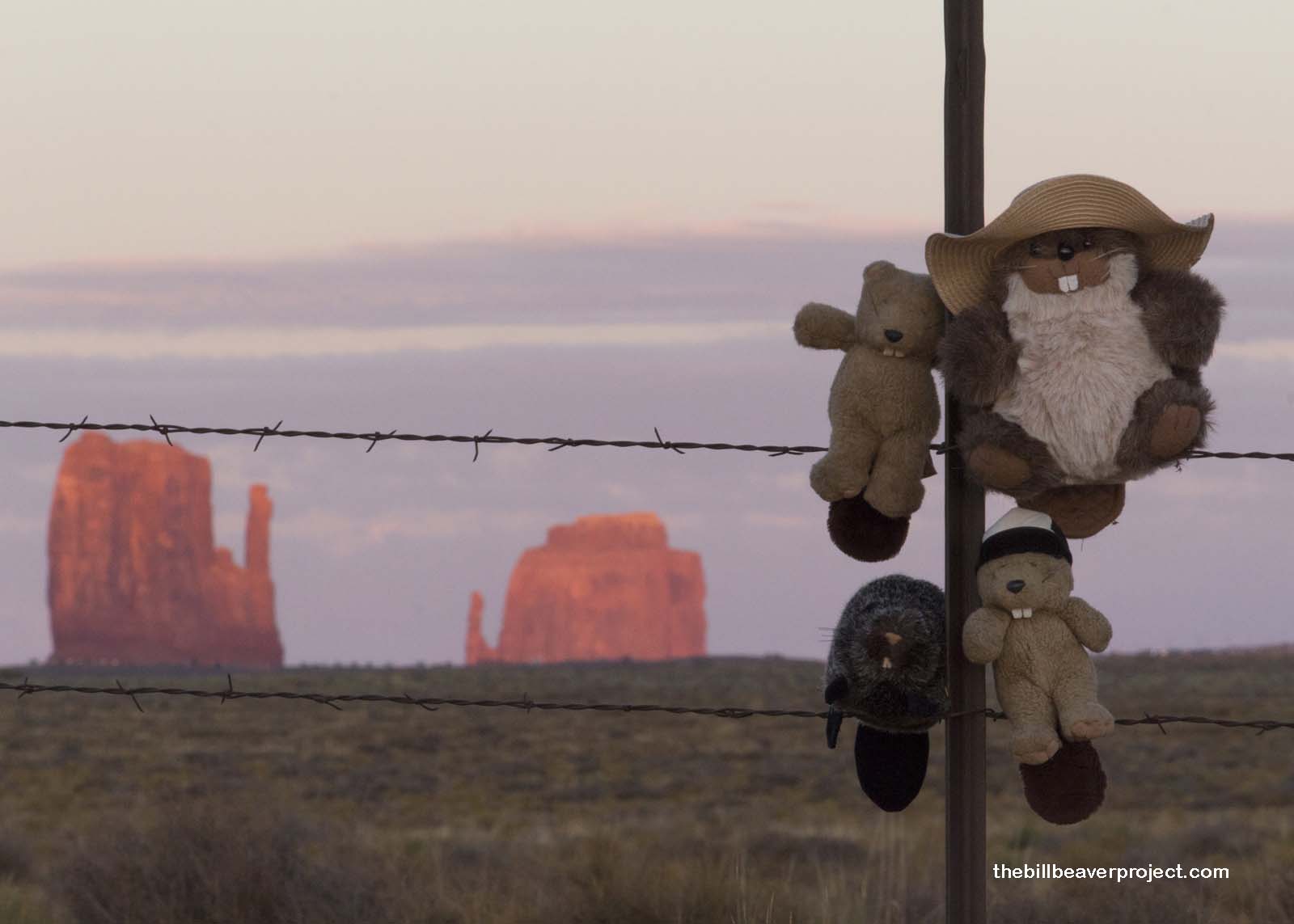 |
That will be our destination for tomorrow, but for now, we’re off to try some Navajo tacos!
John Ford every stream!

Previous Day |
Total Ground Covered 539.9 mi (868.8 km) |
Next Day |