 Previous Day |
Oljato-Monument Valley → Chinle 178 mi (286.5 km) |
 Next Day |
Yá’át’ééh dóone’é!
We’re on the Navajo Reservation, in Navajo County, learning Navajo phrases! If only that name weren’t so historically inaccurate! I started thinking about that as we pulled in past the entrance station to Monument Valley Navajo Tribal Park. The people that now live on this reservation and run this park were once called the Diné, but Spanish explorers preferred a Tewa Pueblo word—navahu’u—which means “farm fields in the valley.”
If we were to be really accurate, we’d call this place Tsé Biiʼ Nidzisgaii, or “the white-streaked rocks,” but as we started down Valley Drive with Ronny of Sandstone Tours, my desire for accuracy became overwheled by wonder!
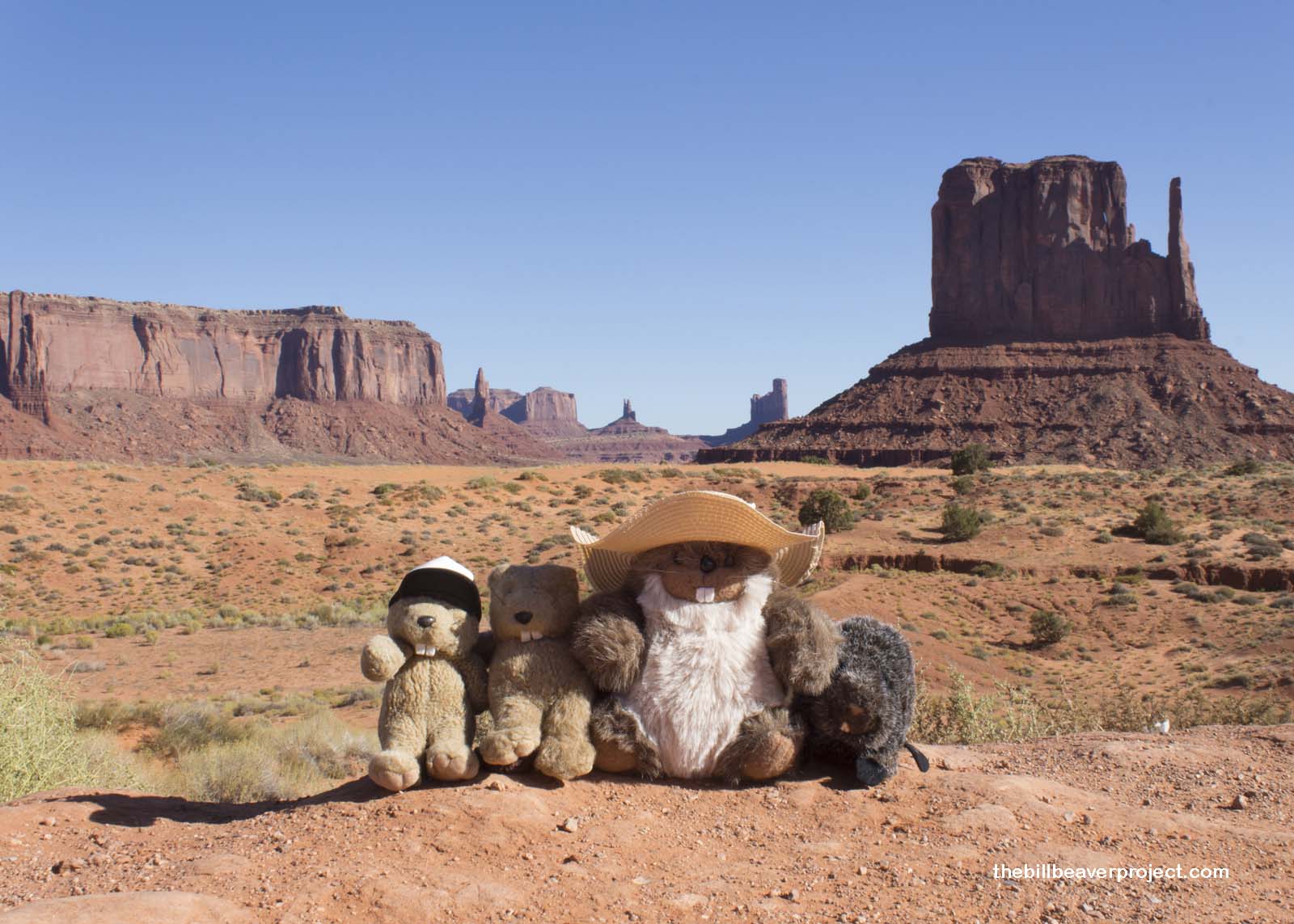 |
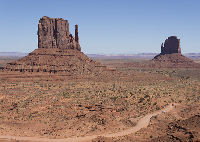
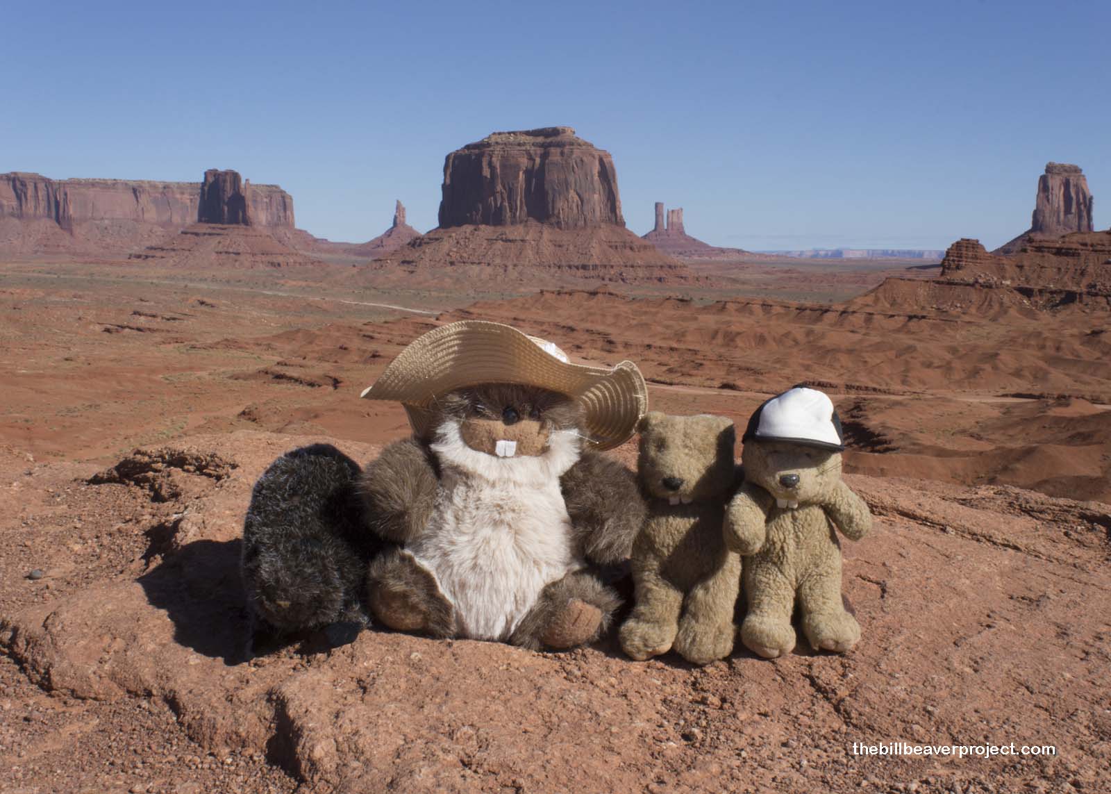
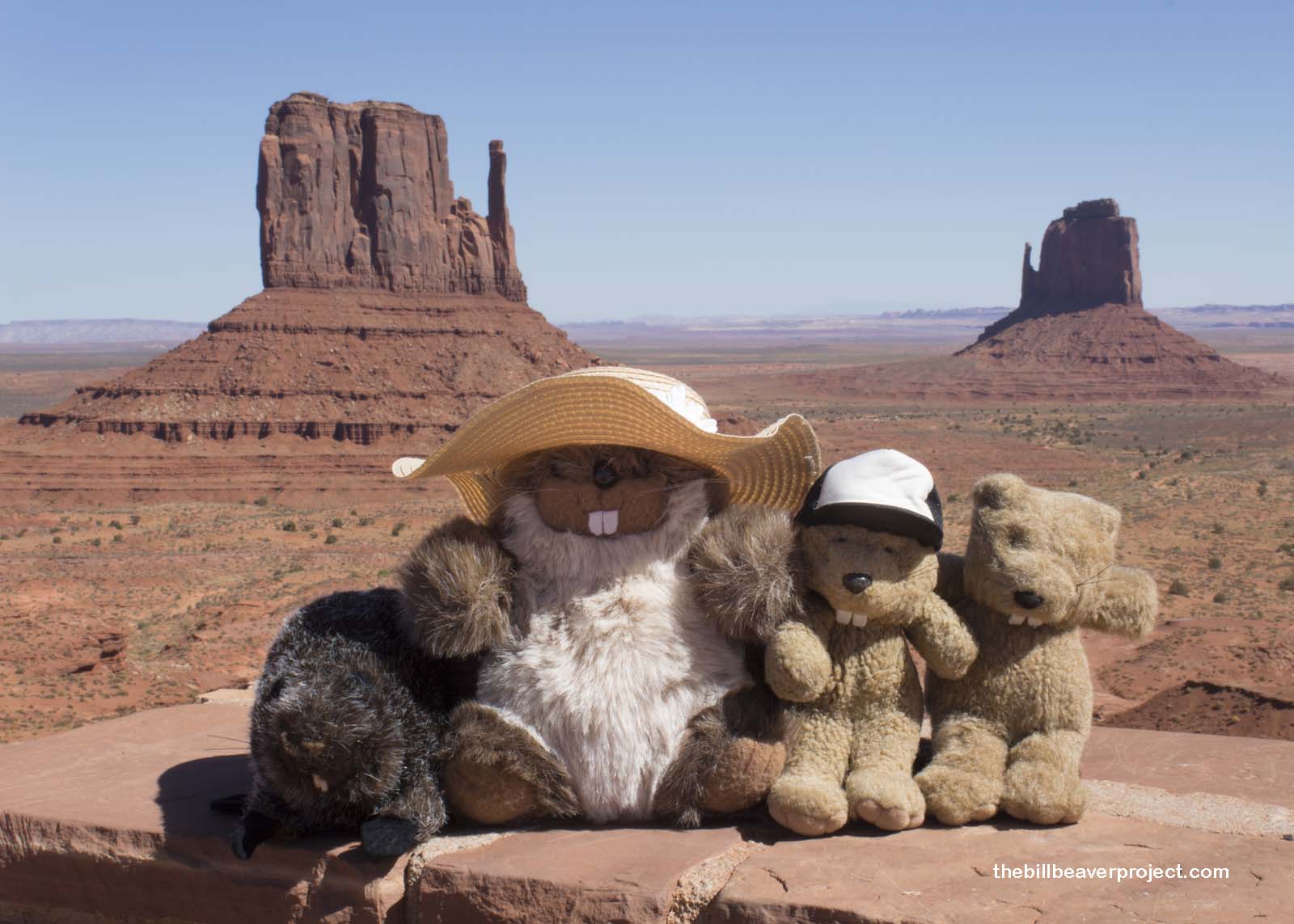
Monument Valley gets its English name from its huge sandstone buttes, carved from an ancient plateau by 50 million years of wind and water! Most famous are its East and West Mittens, once thought to be the hands of a mighty god, but from our first stopping point, we were also able to enjoy views of the Castle and the King on His Throne!
At our second stopping point, John Ford Point, we learned about the love of Western filmmakers for this area. During the Great Depression, local trader, Harry Goulding, and his wife “Mike,” took their last $60 to Hollywood in order to court big directors to come to Monument Valley and help rebuild the local economy. A fellow named John Ford fell in love with their photos and a few days later called “Action!” on Stagecoach, the first of his six iconic Monument Valley Westerns!
 |
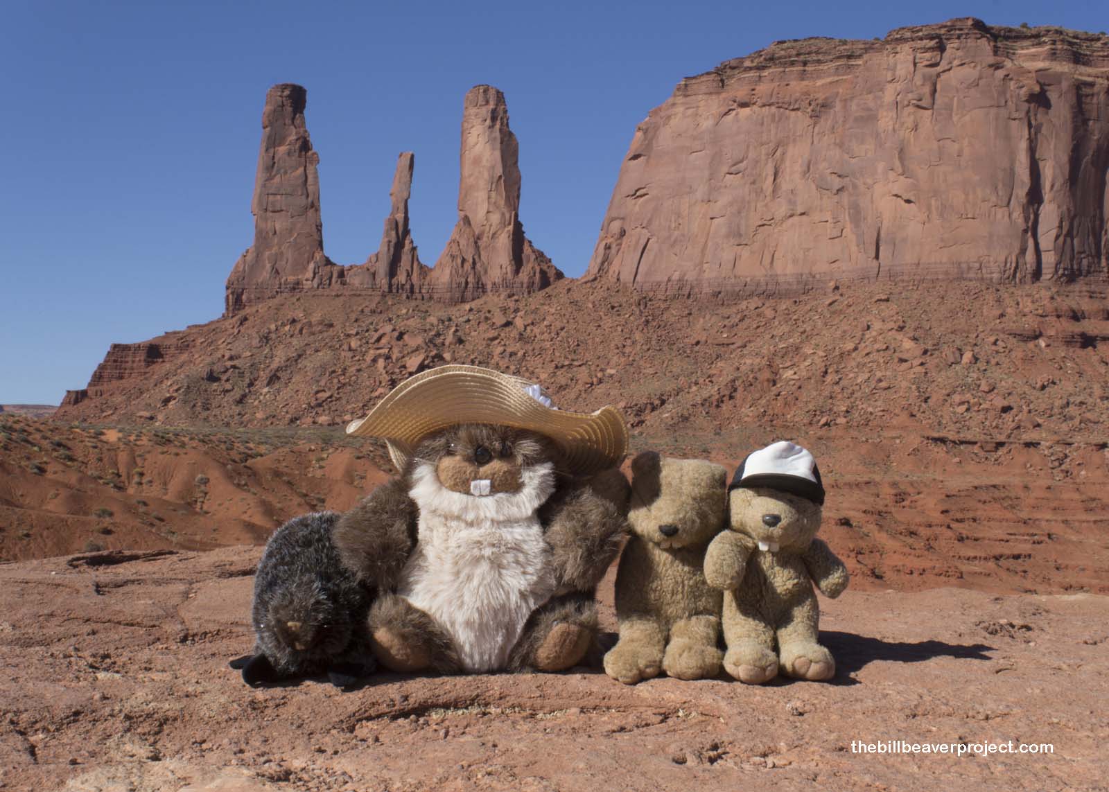
We turned around to gaze upon the thin trio of sandstone spires called the “Three Sisters” because apparently they looked like three Catholic nuns. Though early Spanish explorers probably didn’t know about this place, the Mexican soldiers under Col. José Antonio Vizcarra, who came here to capture Paiutes in 1822, definitely brought their European sensibilities to the area.
Merrick Butte, for instance, still bears the name of a silver prospector who was shot while trespassing in this area around 1880. A nearby mesa has the name of his partner, Mitchell. Other formations have such foreign names as Elephant Butte, Camel Butte, and Submarine Rock. I really regret not bringing anything to write down their original names, because they’re impossible to find online.
 |
From John Ford Point, where the artisans and fry bread vendors had all set up for tourists, Ronny took us off the beaten path along Thunderbird Mesa. Though there were still quite a few visitors driving Valley Road, Ronny told us that tourism here took a deep dive after 9/11 and never recovered! I was surprised, because that was the same thing I’d heard in Cambodia!
Otherwise, the people who still live here in Monument Valley make do with what they’ve got. Water is precious, and most residents have to drive out of the park with jugs to get water from Goulding’s Lodge! To bathe, they mostly use sweat lodges, as they’ve done since time immemorial! The reason they stay here, though, is because this is still very much a sacred place!
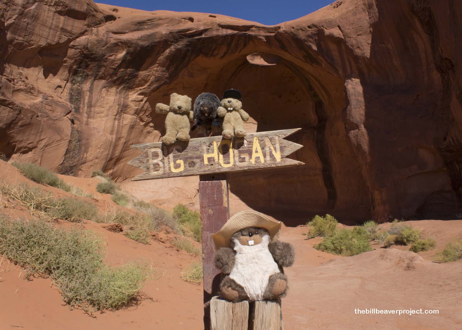 |
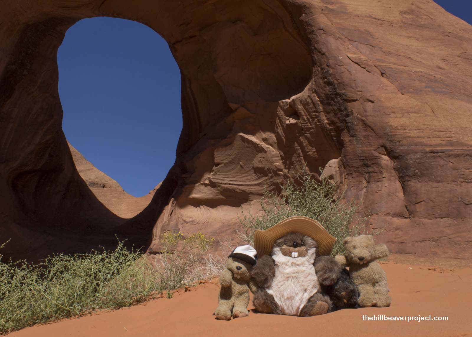
We really got a sense of that at our first stop beyond the beaten path: Big Hogan Arch. Set high in the air, this window in the sandstone was streaked with countless years of rain. I could have sat and watched the sky through it for hours, imagining how amazing it would be to watch the rain wash through!
 |
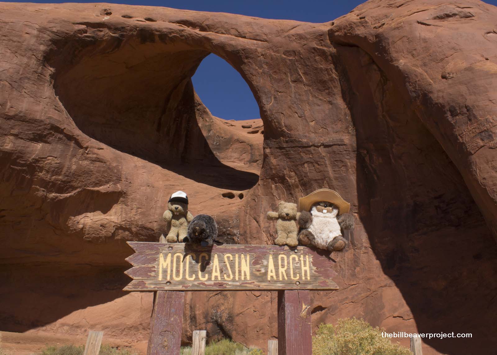
Next door, Moccasin Arch was much larger but didn’t have the same amazing streaks. Beyond the light shuffling sounds of some other visitors, it was very quiet here, that desert stillness that hurts the ears! But when the breeze sets in, the Diné expression “Talking Rocks” really becomes clear!
 |
 |
From there, we motored on to the sky sense arches, starting with the Eye of the Sun, far too high to photograph but streaked with even more intense black eyelashes on the deep orange sandstone! A little further, we scaled sand dunes to the Ear of the Wind and listened for its voice while ants and beetles made zigzag tracks around us!
 |
The tour only took two and a half hours, with some delays when Ronny’s engine needed a break. We were filled with awe at the majestic features we had witnessed, yet left wanting to learn so much more. At the overlook following the tour, we waved to the two godly mittens that had touched the heart of the West.
 |
With our tour over, we were left to our devices. The visitor center had some great exhibits about the Code Talkers of World War II and the current makeup of the tribal government, led by Russell Begaye and based in Window Rock. But the afternoon was wearing on, and we had miles to go before we slept. We’ve crossed into Arizona, and now it’s time to head further.
Nizhónígo Nee Ado’ááł!

Previous Day |
Oljato-Monument Valley → Chinle 717.9 mi (1,155.3 km) |
Next Day |