 More Hikes |
Summit: 10,833 ft (3,301.9 m) Trail: 10.5 mi (16.9 km) roundtrip |
 Second Saint |
Yodelayhee-howdy, everyone!
I’m back in California for a while, but I have a hard time just sitting around. So when my friend, Brett, invited me to tackle the Three Saints of Riverside and San Bernardino Counties, I couldn’t turn down his offer! Those Three Saints are the mountains of San Antonio, San Gorgonio, and San Jacinto. Today, we were going to tackle 10,834-foot San Jacinto Peak!
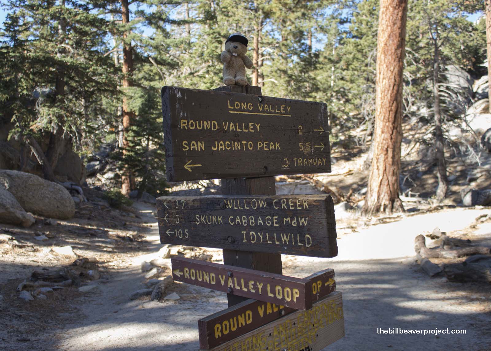 |
To get to the trailhead, we had to ride the world’s largest rotating aerial tram, the Palm Springs Aerial Tramway, which spun constantly to give a full 360° view of the striated cliffs and the view over the city of Palm Springs! It let us off at what felt like a Disney park attraction with its gift shops and fine restaurants, but after descending the quarter-mile path to the actual trailhead, things started to look more woodsy!
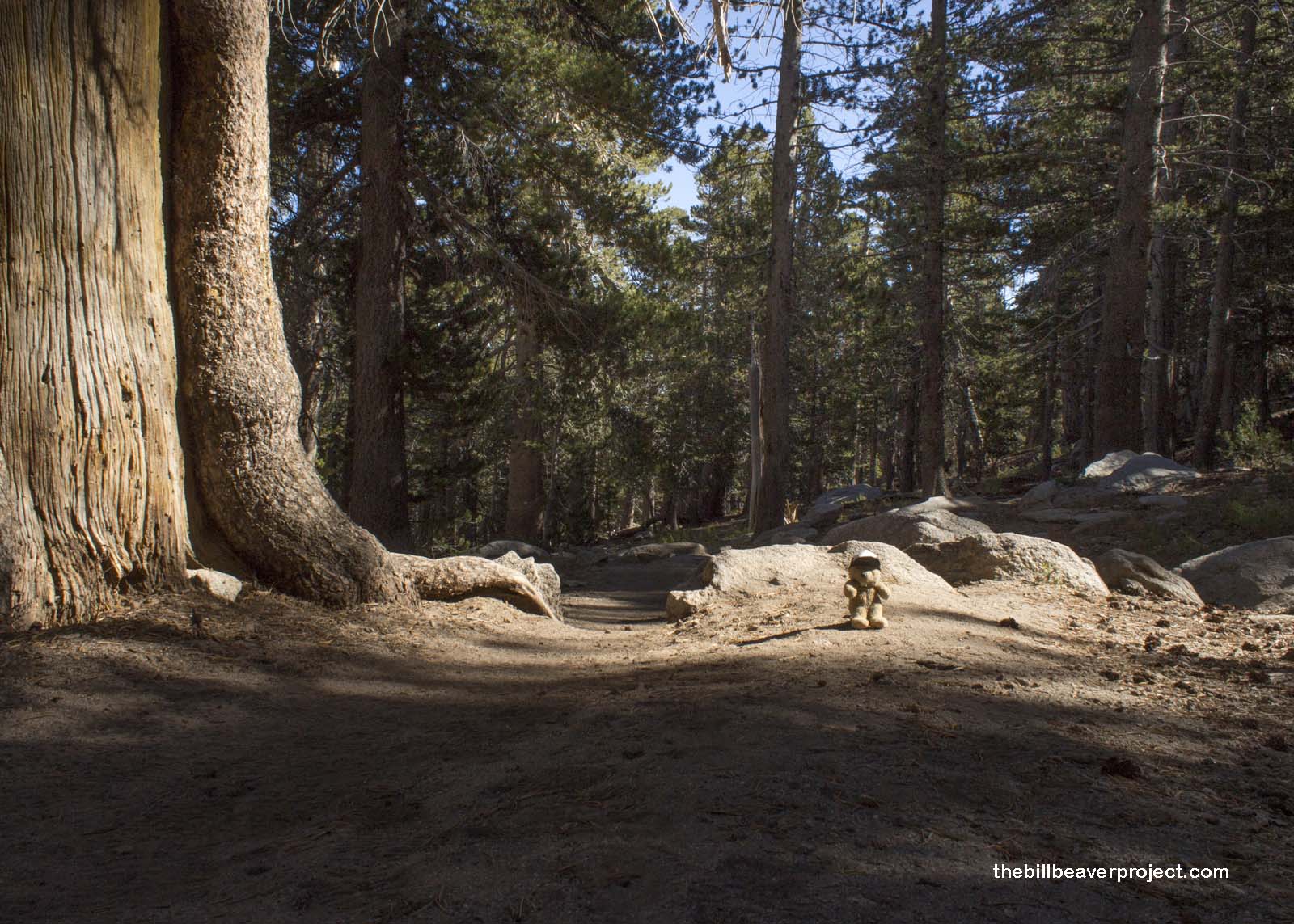 |
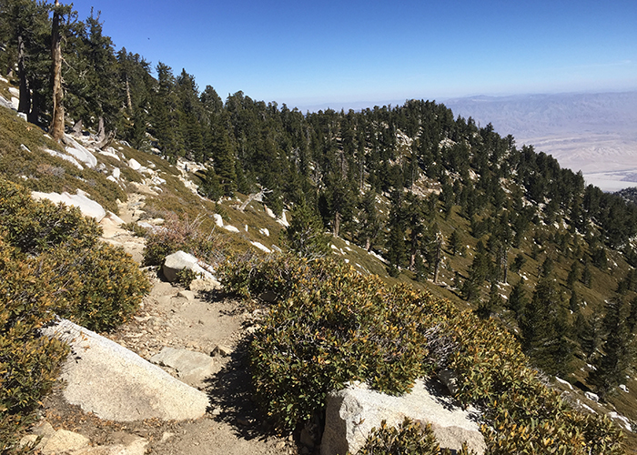
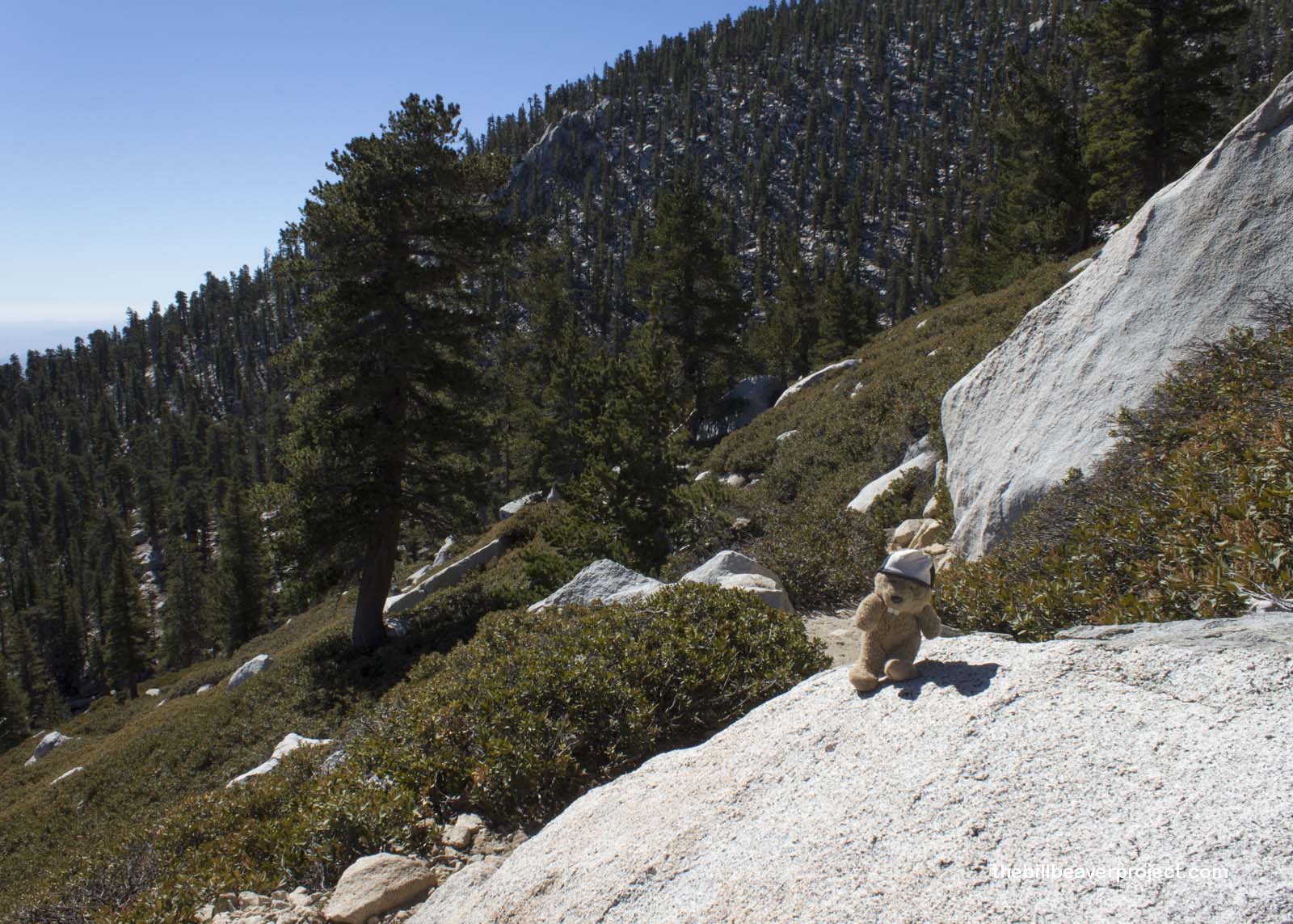
Compared to Mount Whitney, this trail was a breeze! A mere 5.5 miles of gently sloping woodlands took us past a military boot camp, some meadows, and some sweeping views of the San Jacinto Mountain Range! This area was designated part of the BLM-managed Santa Rosa and San Jacinto Mountains National Monument by the Bush administration in 2000, a federally protected reserve spanning 280,071 acres!
 |
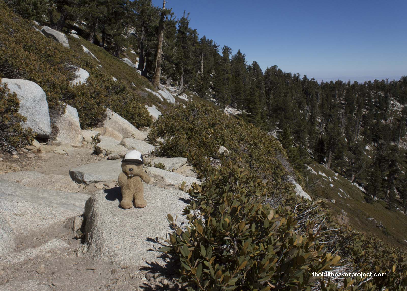
We wound up some switchbacks on the eastward side of the mountain, enjoying the cool autumn sun, certainly not as chilly as the rangers warned us! This was a pretty popular trail, and we played hike-rest leapfrog with quite a few folks!
 |
 |
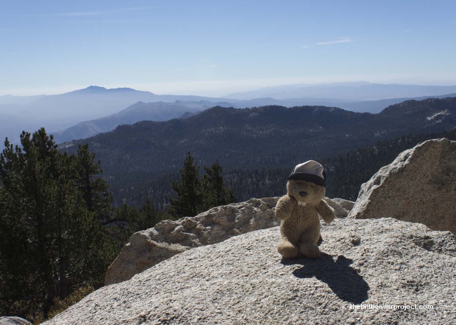
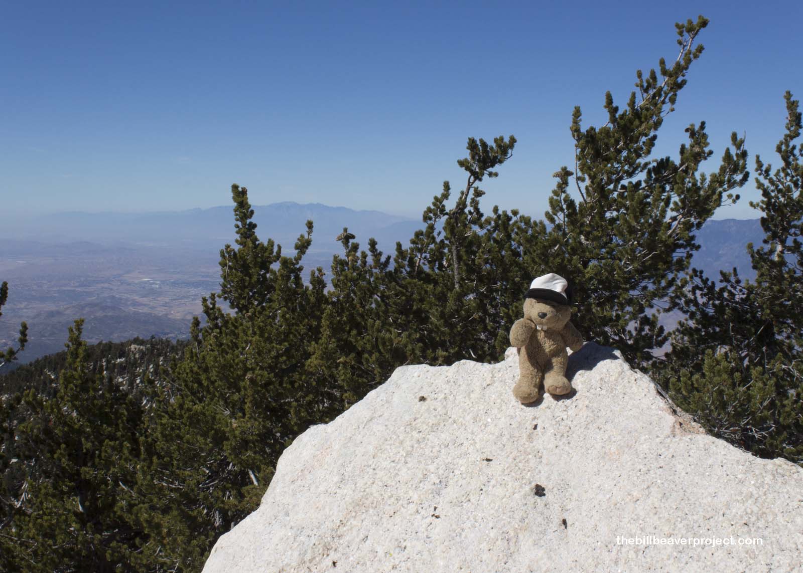
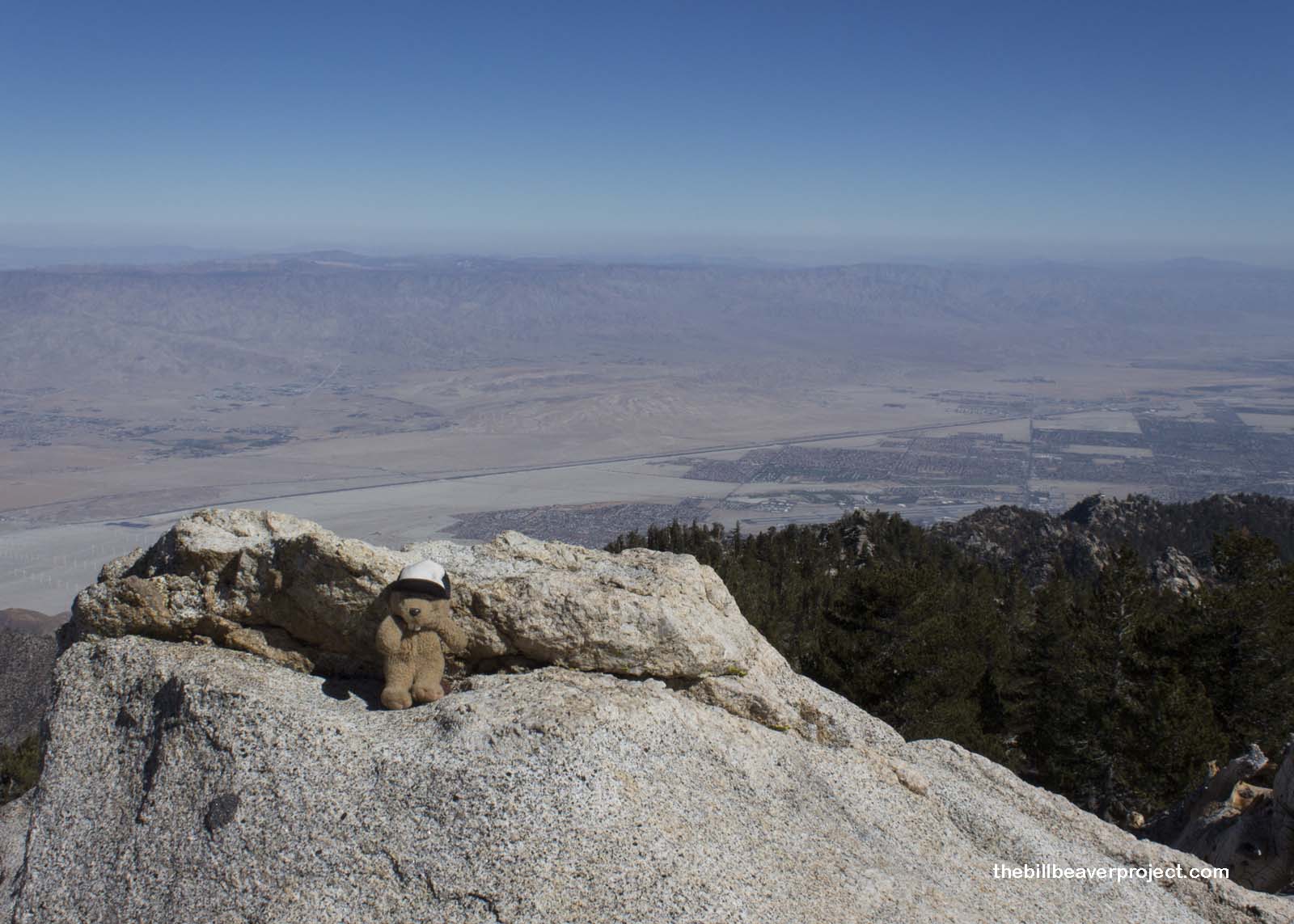
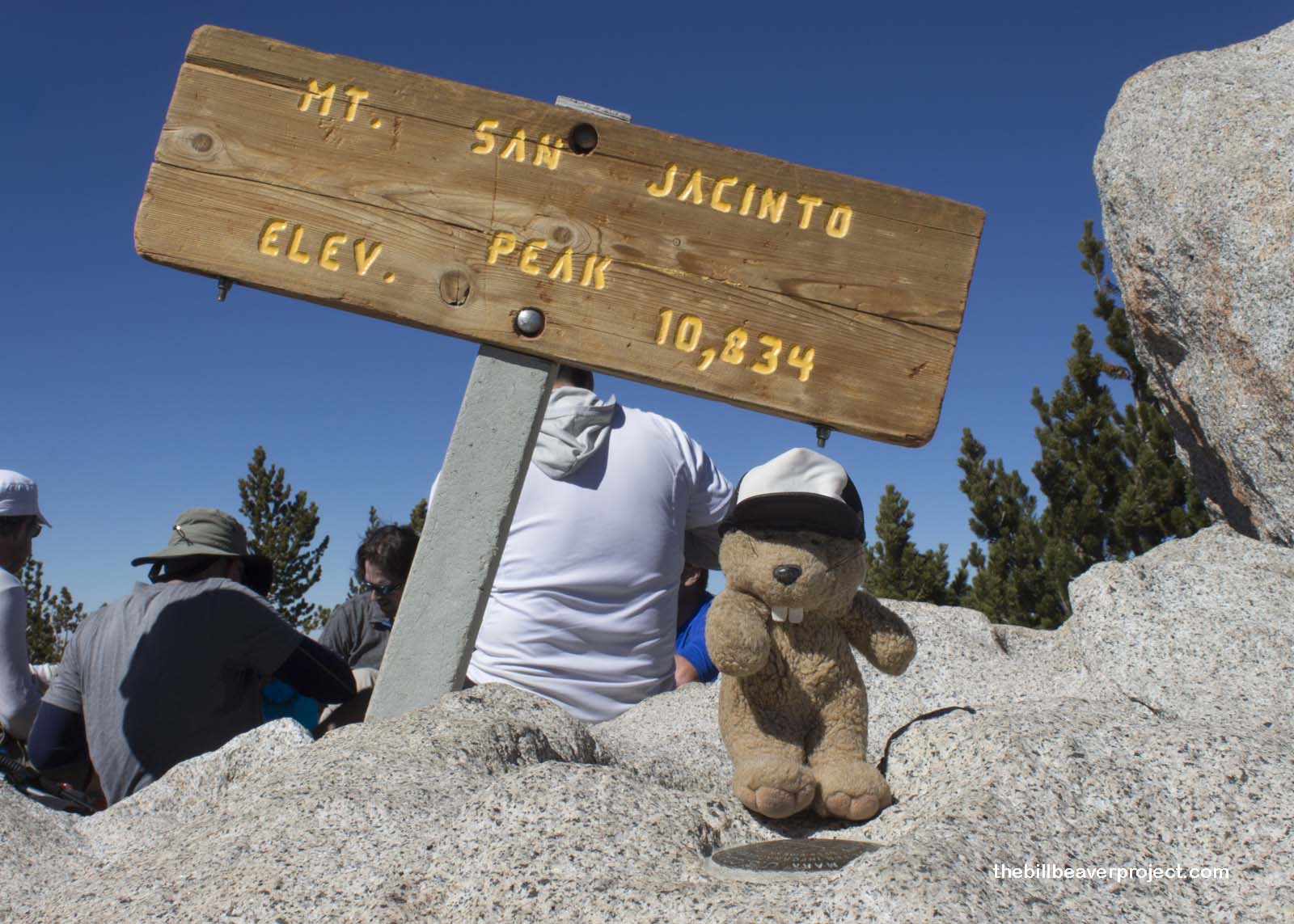
At last, after about two hours, we reached the summit and peered out in all directions, to the Coachella Valley and Salton Sea in the east, and the vast urban sprawl of Riverside, San Bernardino, and Los Angeles to the west! The smog was thick, which made me glad to be so high above it.
 |
 |
We enjoyed a tasty lunch on the increasingly crowded summit. The wind was nonexistent, which surprised me for a summit, and the afternoon sun was just about right. At the visitor center, the rangers had said we could submit a photo of the summit marker and get a prize, but I haven’t been able to confirm this.
 |
There’s much therapy in a hike. Though the legs may ache and the lungs may burn, the eyes see more clearly and the ears get a break from the chaos of the city! Clarity is what matters now as 2017 comes to a close, and plans for 2018 loom on the horizon. Stay tuned for future adventures to the top of the other two Saints!
All downhill from here!

More Hikes |
Summit: 10,833 ft (3,301.9 m) Trail: 10.5 mi (16.9 km) roundtrip |
Second Saint |