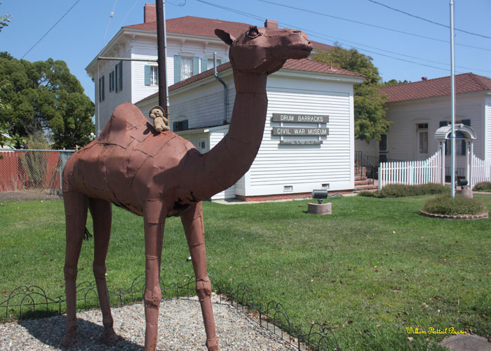
 |
| Landmark #963 | Los Angeles County | Visited: August 14, 2011 | Plaque? NO.  |
| What is it? | Site marking the end of a trade route used by the Mohave tribe since time immemorial! |
| What makes it historical? | THE GUIDE SAYS: Long ago, Mohave Indians used a network of pathways to cross the Mojave Desert. In 1826, American trapper Jedediah Smith used their paths and became the first non-Indian to reach the California coast overland from mid-America. The paths were worked into a military wagon road in 1859. This “Mojave Road” remained a major link between Los Angeles and points east until a railway crossed the desert in 1885.
OTHER TIDBITS: That pretty well sums it up! |
| How can I Help the Helpers? | HERE’S HOW:
|
| Where is this place? | LISTED DIRECTIONS: Site of road runs from Drum Barracks in Wilmington to where State Route 66 crosses Los Angeles County line into San Bernardino County ANNOTATIONS: From Los Angeles: ~23mi (38km) — 0.4hrs |
| When should I go? | There isn’t a specific marker, so drop by whenever the mood strikes you! |

This plaque is in San Bernardino County, in the rest area on I-15 northbound midway between Barstow and Baker.