 |
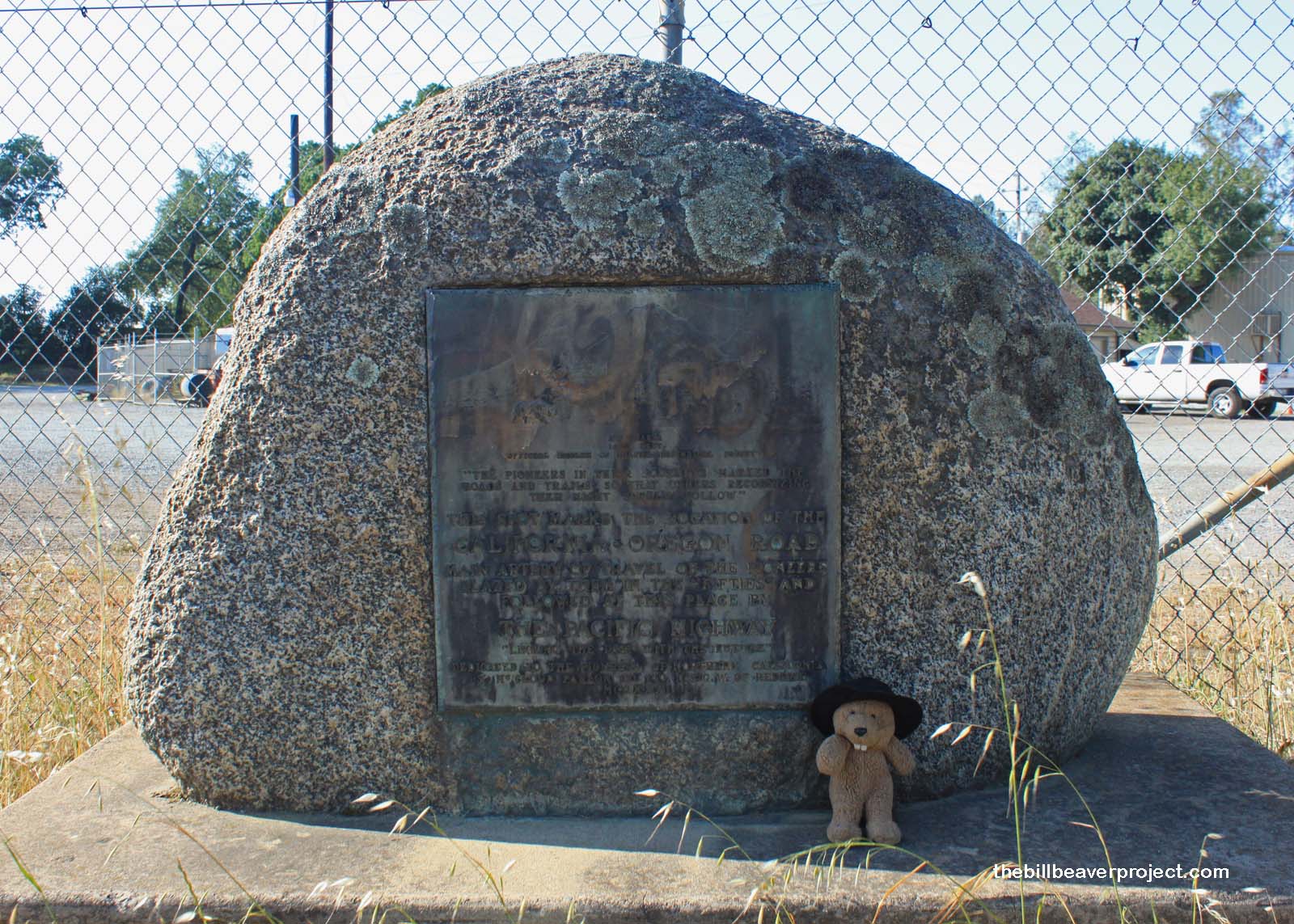
| Landmark #58 | Shasta County | Visited: May 11, 2012 | Plaque? YES!  |
| What is it? | A plaque by the side of the road! |
| What makes it historical? | THE GUIDE SAYS: This marks the location of the main artery of travel used by pioneers between the Trinity River and the northern mines of California and Oregon.
OTHER TIDBITS: That pretty well sums it up! |
| How can I Help the Helpers? | HERE’S HOW:
|
| Where is this place? | LISTED DIRECTIONS: NW corner of Hwy 99 (P.M. 7.12) and Spring Gulch Rd 1.7 mi N of Anderson, CA 96007 ANNOTATIONS: From Los Angeles: ~541mi (871km) — 9.1hrs |
| When should I go? | Whenever the mood strikes you! |
