 |
| Landmark #620 | San Bernardino County | Visited: August 15, 2012 | Plaque? YES!  |
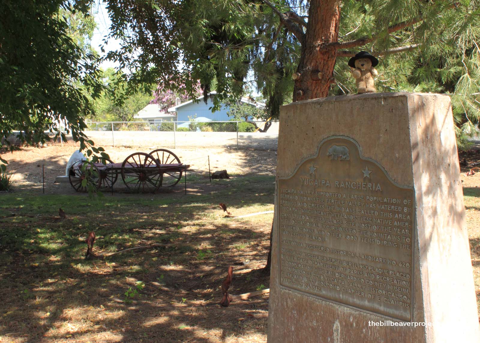
| What is it? | A plaque on the lawn of the Yucaipa Adobe Museum! |
| What makes it historical? | THE GUIDE SAYS: Yucaipa Valley supported a large population of Serrano Indians. The fertile valley was watered by springs and creeks. The Indians called this area “Yucaipat” which meant “wet lands.” These Native Americans lived at this village site most of the year, with occasional excursions to the mountains to gather acorns and other food items during the harvesting season.
OTHER TIDBITS: That pretty well sums it up! |
| How can I Help the Helpers? | HERE’S HOW:
|
| Where is this place? | LISTED DIRECTIONS: 32183 Kentucky St Yucaipa, CA 92399 ANNOTATIONS: From Los Angeles: ~68mi (110km) — 1.2hrs |
| When should I go? | The adobe is open for tours Tuesday through Saturday from 10:00 AM until 3:00 PM! |

