 |
| Landmark #742 | Kern County | Visited: January 21, 2013 | Plaque? YES!  |
| What is it? | A plaque on the shore of Lake Isabella! |
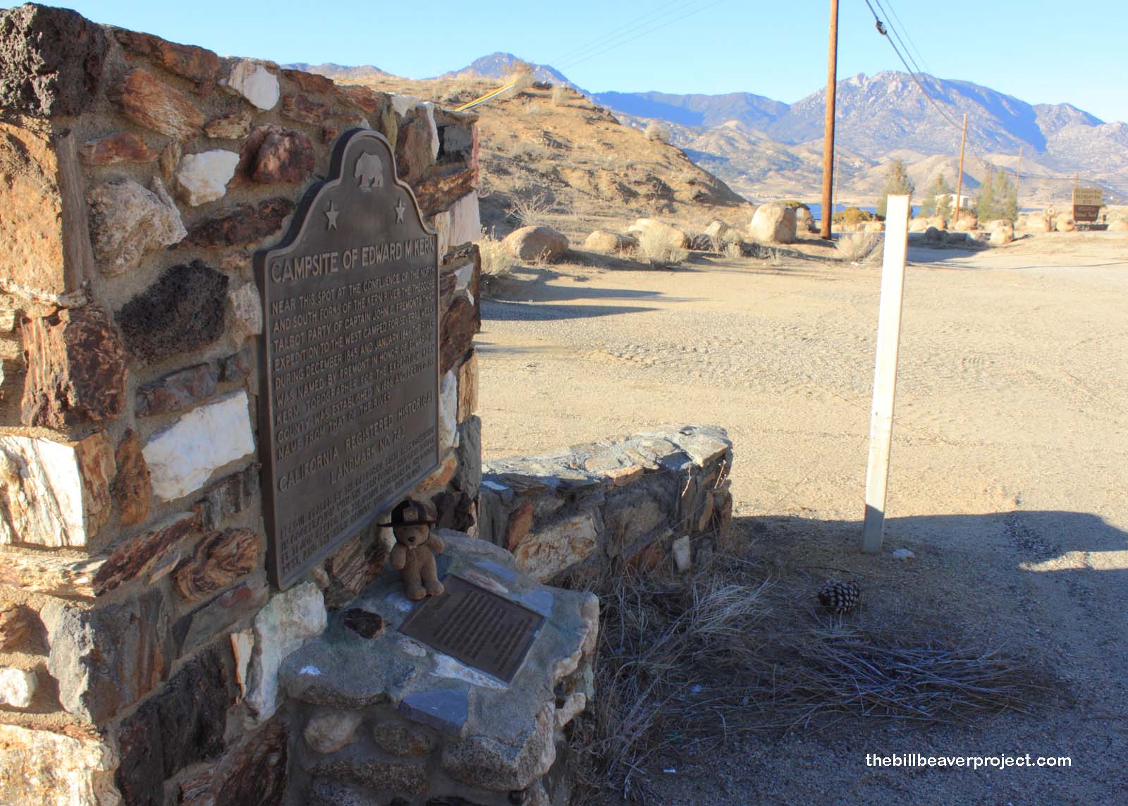
| What makes it historical? | THE GUIDE SAYS: Near this spot at the confluence of the north and south forks of the Kern River, the Theodore Talbot party of Captain John C. Frémont’s third expedition to the West camped for several weeks during December 1845 and January 1846. Frémont named the river in honor of Edward M. Kern, topographer for the expedition – Kern County was established in 1866.
OTHER TIDBITS: Mr. Kern actually accompanied John C. Frémont on two westward expeditions! For a salary of $3.00 a day, Mr. Kern drew field maps of their routes ever day with longitude and latitude coordinates along with drawings of landmarks they encountered! He documented the Rio San Felipe and the southern pass discovered by and named for Joseph Walker! On the second expedition (1848-49), he was joined by his brothers, Richard (also an artist) and Benjamin (a doctor)! Sadly, many members of the party died in the Colorado mountains, and Benjamin was killed by Ute warriors when he returned to a spot where his brothers had hidden their sketches! Mr. Kern left behind a vast collection of images depicting forts, battles, and topographical features like Mount Shasta! In absense of photographic cameras, these sketches are some of the best depictions we’ve got of the mid 19th-century California wilderness! |
| How can I Help the Helpers? | HERE’S HOW:
|
| Where is this place? | LISTED DIRECTIONS: Entrance to Old IsabelIa Rd Recreation Area On State Hwy 178 2 mi N of the town of Lake IsabelIa, CA 93240 ANNOTATIONS: From Los Angeles: ~162mi (261km) — 2.7hrs |
| When should I go? | Whenever the mood strikes you! |
