 |
| Landmark #781 | San Bernardino County | Visited: March 22, 2014 | Plaque? YES!  |
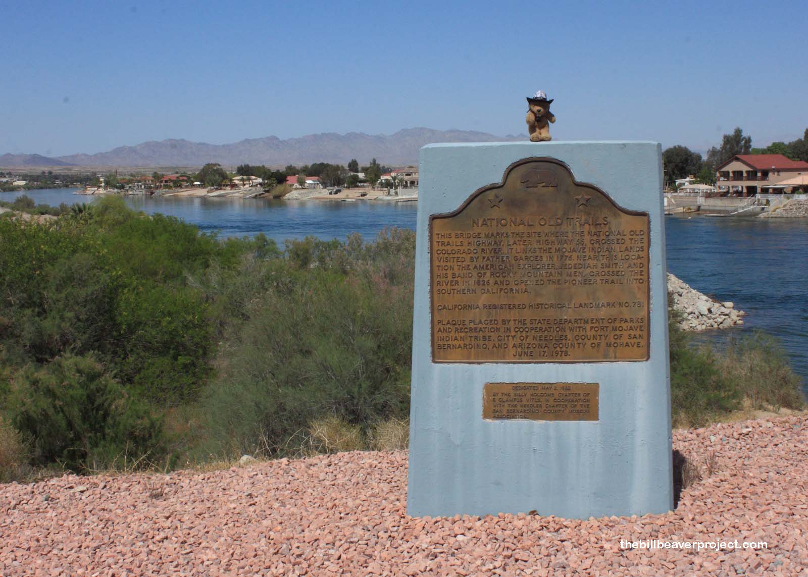
| What is it? | A plaque marking the route that both Father Garcés and Jedediah Smith used in their explorations of California! |
| What makes it historical? | THE GUIDE SAYS: An old Indian trail, still visible in some places, ran roughly parallel to the Colorado River on the California side. This is the route followed by Garcés and his Mojave guides in 1776 and by Jedediah Smith in 1826.
OTHER TIDBITS: The construction of a transcontinental highway was beset by controversy! Even though it had been discussed as early as the 1890s, there were issues of states’ rights and the proper allocation of funds. Who would use such a road? Well, lots of people! When it got started, it incorporated the Santa Fe, Oregon, and California Trails (the old trails in question) and a network of other important roads to create an Ocean-to-Ocean highway! This southernmost route later became known as Route 66, where many a westward wanderer got some kicks! |
| How can I Help the Helpers? | HERE’S HOW:
|
| Where is this place? | LISTED DIRECTIONS: On shoulder of NW corner of Colorado River Bridge North K St Needles, CA 92363 ANNOTATIONS: From Los Angeles: ~256mi (412km) — 4.3hrs |
| When should I go? | Whenever the mood strikes you! |
