 |
| Landmark #859 | San Bernardino County | Visited: March 22, 2014 | Plaque? YES!  |
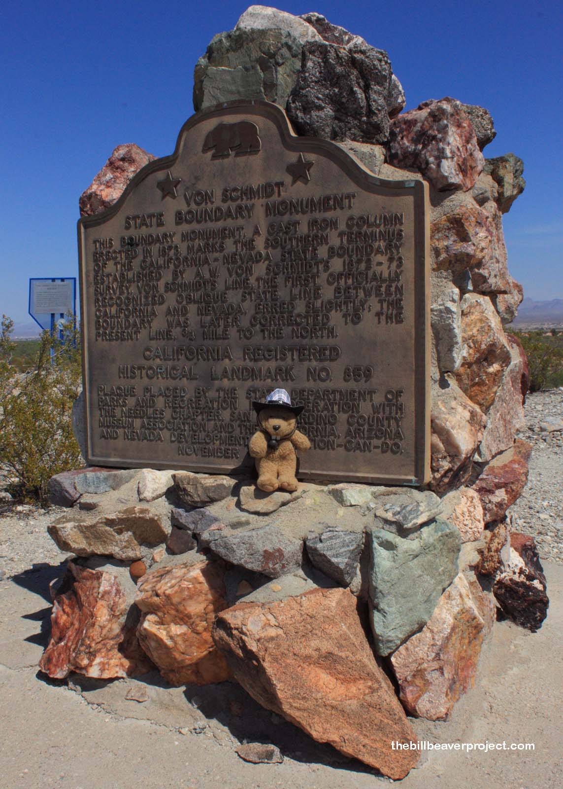
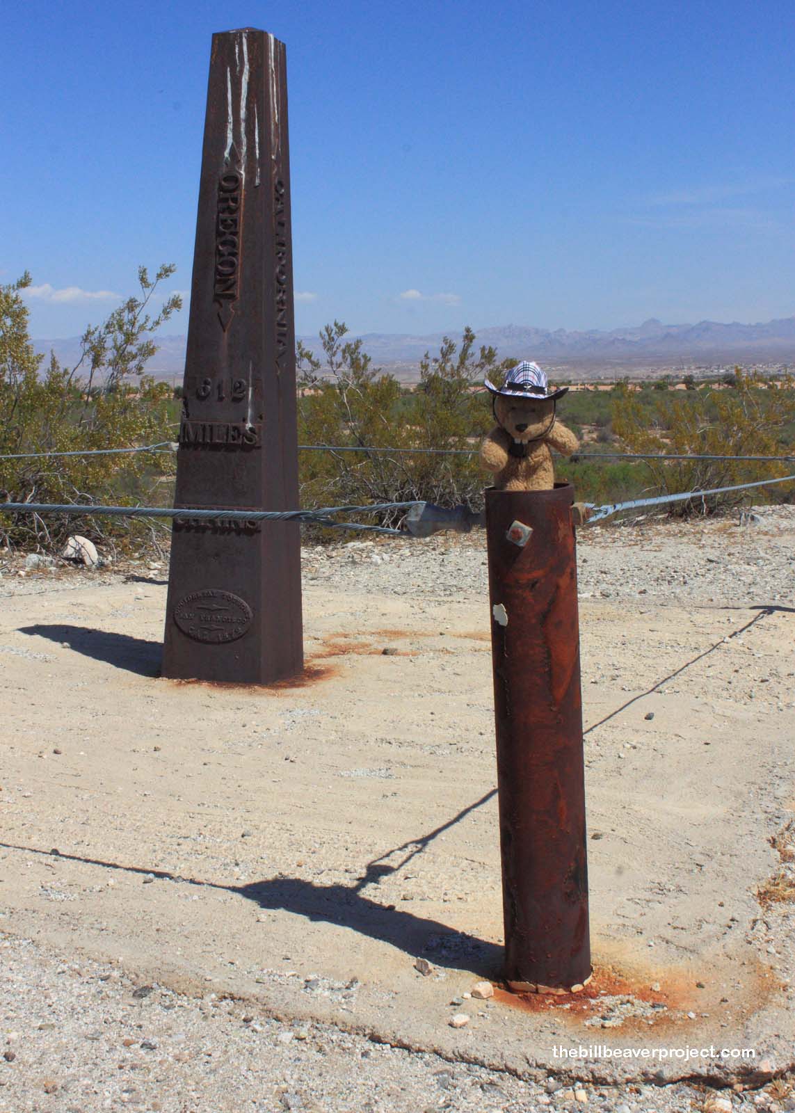
| What is it? | A plaque and iron column marking the first southern boundary between California and Nevada! |
| What makes it historical? | THE GUIDE SAYS: This boundary monument, a cast iron column erected in 1873, marks the southern terminus of the California-Nevada State boundary established by A. W. Von Schmidt’s 1872-73 survey. Von Schmidt’s line, the first officially recognized oblique state line between California and Nevada, erred slightly, the boundary was later corrected to the present line, 3/4 mile to the north.
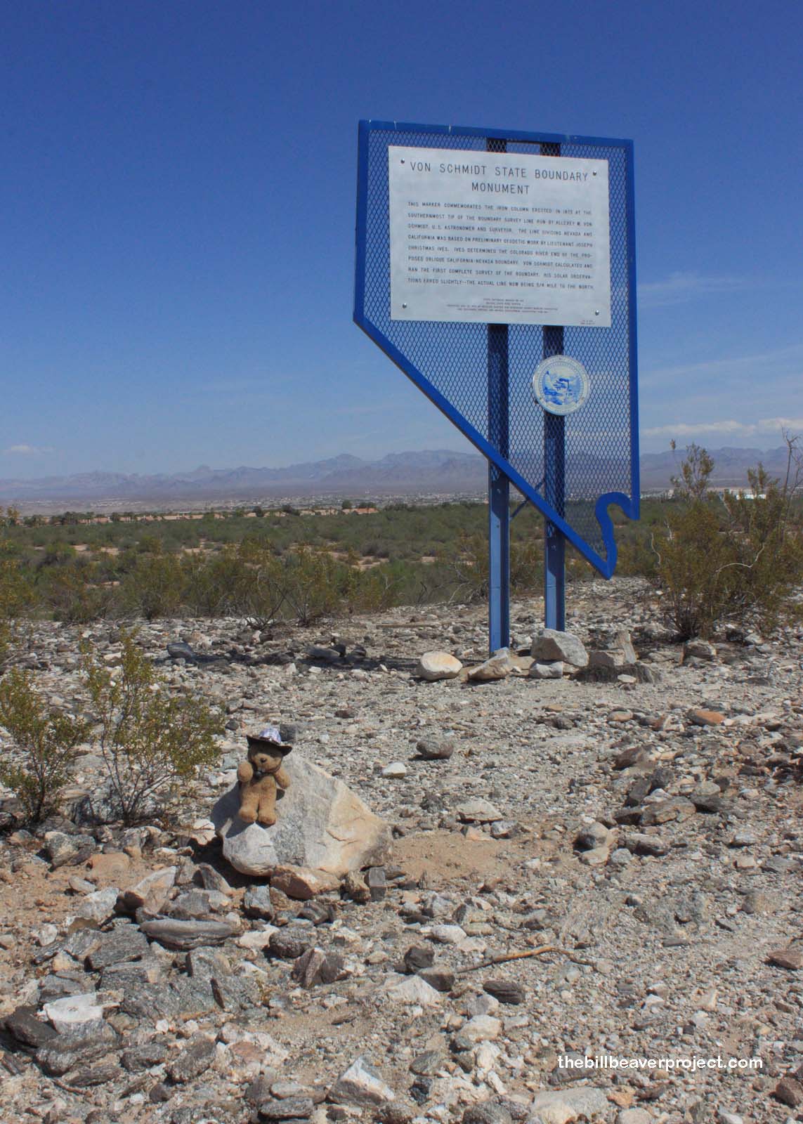
OTHER TIDBITS: This landmark belongs to both California and Nevada (#188), sort of like Susanville in the 1860s! See, there was a lot of disagreement over where exactly the border should stretch, so in 1972, Allexey Von Schmidt led the charge south from the Oregon border, setting up iron columns roughly every mile! Unfortunately for Mr. Von Schmidt, he made an error in his calculations and left a big kink in the border, which he couldn’t fix because he lost his funding! This error went unnoticed for 20 years! There are still a few iron posts left, but I think this one is the easiest to find! |
| How can I Help the Helpers? | HERE’S HOW:
|
| Where is this place? | LISTED DIRECTIONS: On E side of Pew Rd (River Rd) 2.6 mi S of state line 14 mi N of Needles, CA 92363 ANNOTATIONS: The plaque is located near the southeast corner of Needles Highway and Aha Macau Parkway! From Los Angeles: ~265mi (427km) — 4.5hrs |
| When should I go? | Whenever the mood strikes you! |


I just visited this landmark on my way back from Nevada. We share name, last name and interest in survey.
What is the story behind the mascot in the photos?
Hi Alexander! Thanks for checking out my site! Are you also on a quest to see the historical landmarks of California? You can learn more about my story by visiting my About Page!