 |
| Landmark #678 | Lassen County | Visited: Sept. 26, 2014 | Plaque? YES!  |
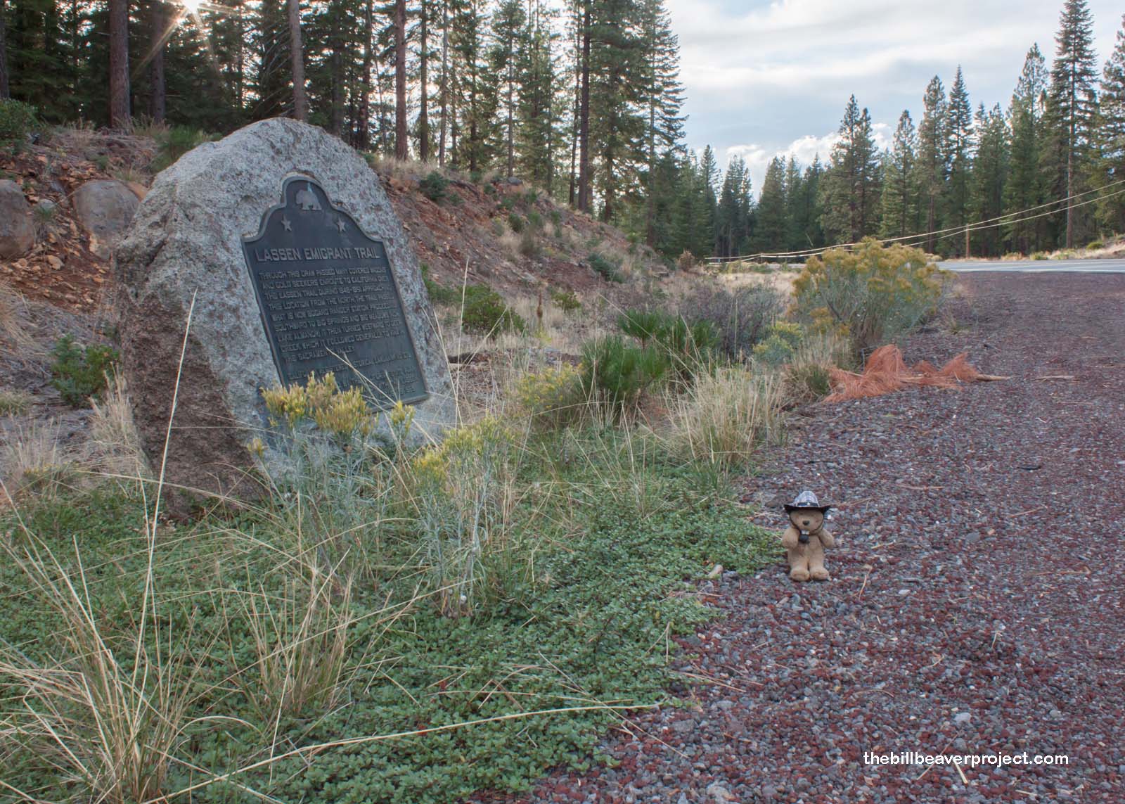
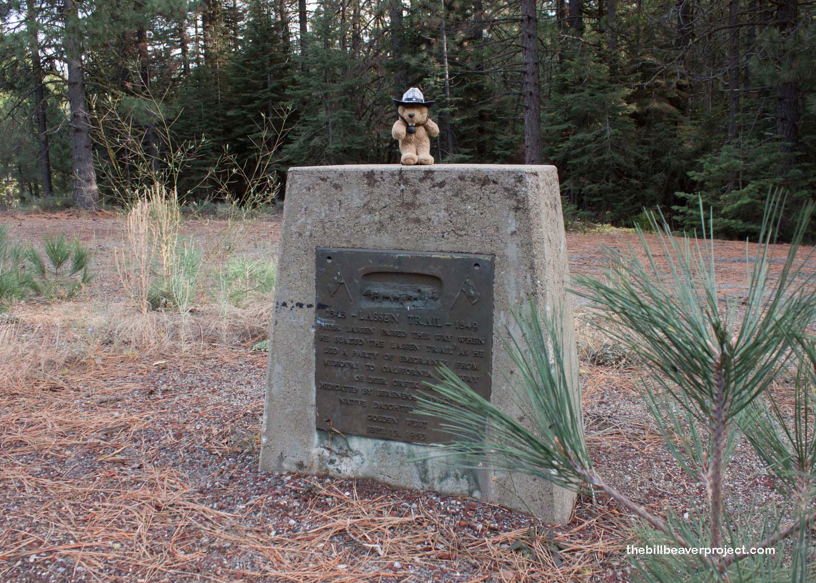
| What is it? | A plaque marking the Lassen Emigrant Trail route to the California gold fields! |
| What makes it historical? | THE GUIDE SAYS: Through this draw passed many covered wagons and gold seekers en route to California over the Lassen Trail during 1848-1851. Approaching this location from the north, the trail passed what is now Bogard Ranger Station. Proceeding southward to Big Springs and Big Meadows (now Lake Almanor), it then turned westward to Deer Creek, which it followed generally to Vina in the Sacramento Valley.
OTHER TIDBITS: That pretty well sums it up! |
| How can I Help the Helpers? | HERE’S HOW:
|
| Where is this place? | LISTED DIRECTIONS: Hwy 36 (P.M. 0.3) 2.5 mi W of Westwood, CA 96137 ANNOTATIONS: From Los Angeles: ~543mi (874km) — 9.1hrs |
| When should I go? | Whenever the mood strikes you! |

