 |
| Landmark #AB0014.93 | Albany County | Visited: June 10, 2017 | Plaque? YES! 🙂 |
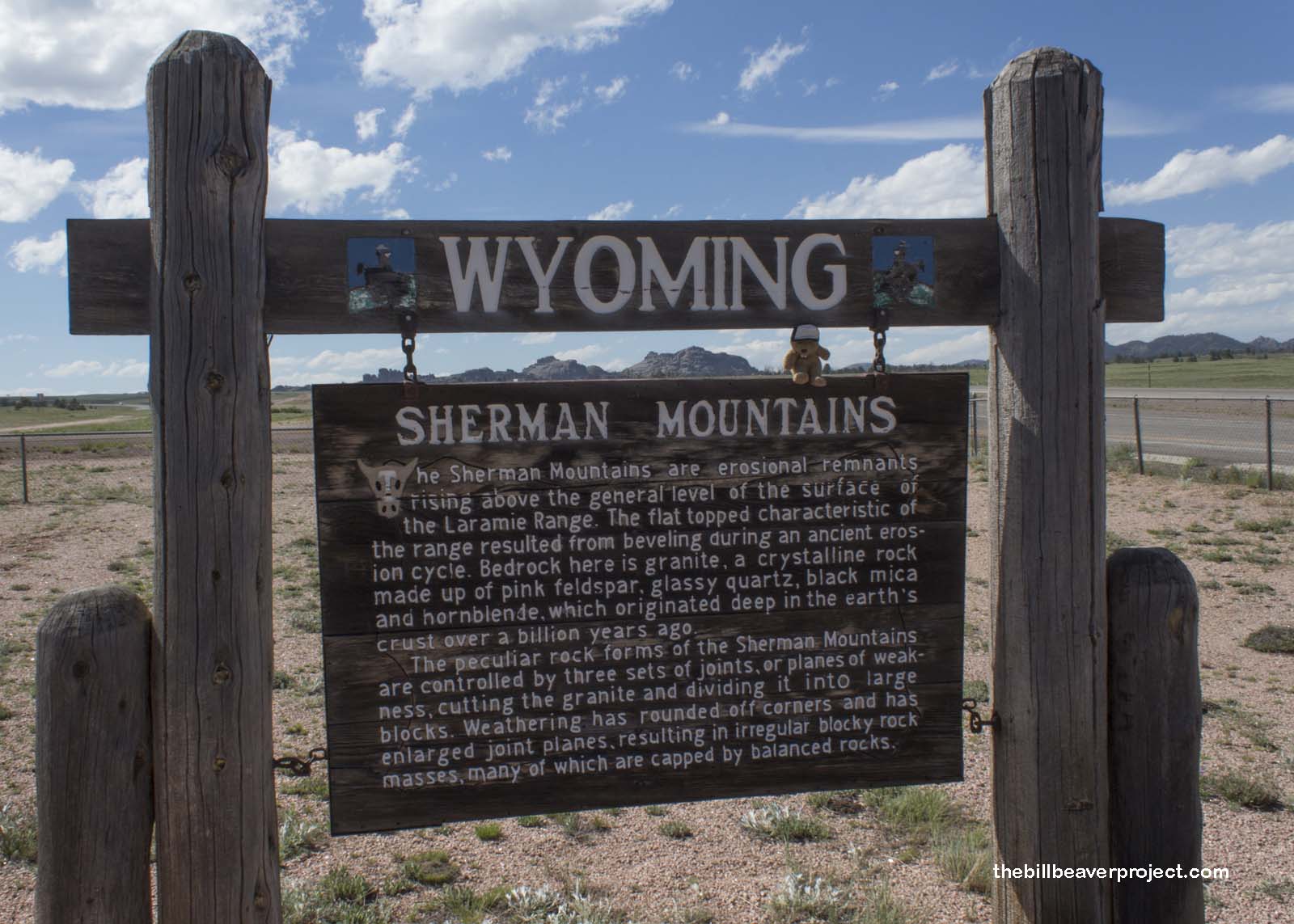
| What is it? | A sign in the foreground of the Sherman Mountains |
| What makes it historical? | THE SIGN SAYS: The Sherman Mountains are erosional remnants rising above the general level of the surface of the Laramie Range. The flat-topped characteristic of the range resulted from beveling during an ancient erosion cycle. Bedrock here is granite, a crystalline rock made up of pink feldspar, glassy quartz, black mica and hornblende, which originated deep in the earth’s crust over a billion years ago.
The peculiar rock forms of the Sherman Mountains are controlled by three sets of joints, or planes of weakness, cutting the granite and dividing it into large blocks. Weathering has rounded off corners and has enlarged joint planes, resulting in irregular block-rock masses, many of which are capped by balanced rocks. OTHER TIDBITS: These mountains were named in honor of William Tecumseh Sherman. The Transcontinental Railroad originally went through them, connecting Cheyenne and Laramie, but it was later rerouted and replaced by the Lincoln Highway, today known as I-80! |
| How can I Help the Helpers? | HERE’S HOW:
|
| How do I find it? | Listed Directions: Located in the median of I-80 between Cheyenne and Laramie Annotations: From Casper: ~174mi (281km) — 2.9hrs |
| When should I go? | Whenever the mood strikes you! |
