I’ve been trying to schedule a trip to Kings Canyon National Park for about five years. The first time I meant to go, the US government shut down and took the national parks with it! Now, on a fee-free day honoring the Buffalo soldiers who were some of the first park rangers, I scored my permit to hike the Copper Creek Trail!
 |
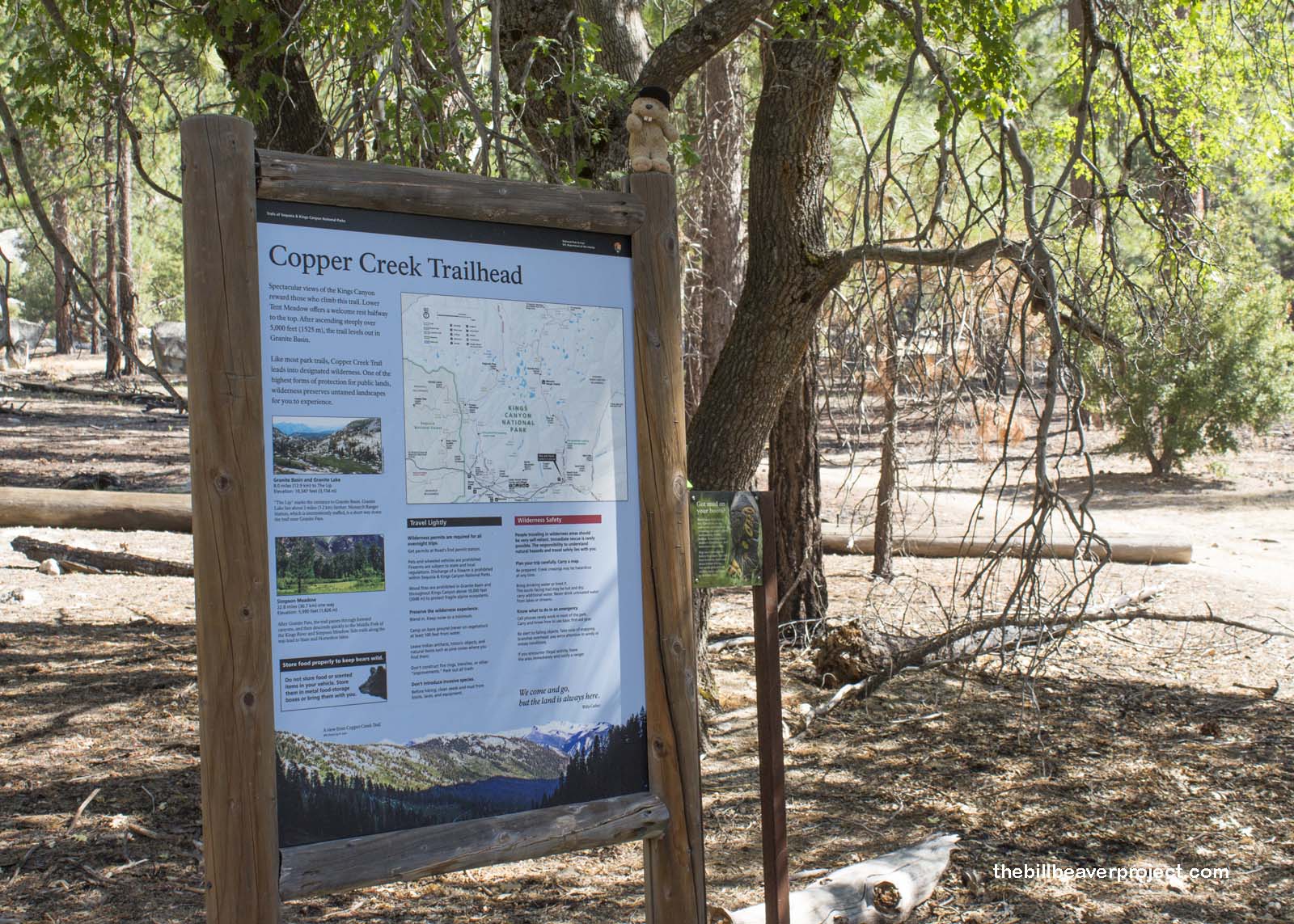
The Copper Creek Trail is much beloved, so much so that the National Park Service has developed a quota system to limit the thousands of people who want to give it a shot. To apply, you’ve got to fill out the application at least two weeks in advance and hope they let you in. Honestly, I was never rejected, but I’ll bet it was tougher earlier in the season when it wasn’t so hot!
 |
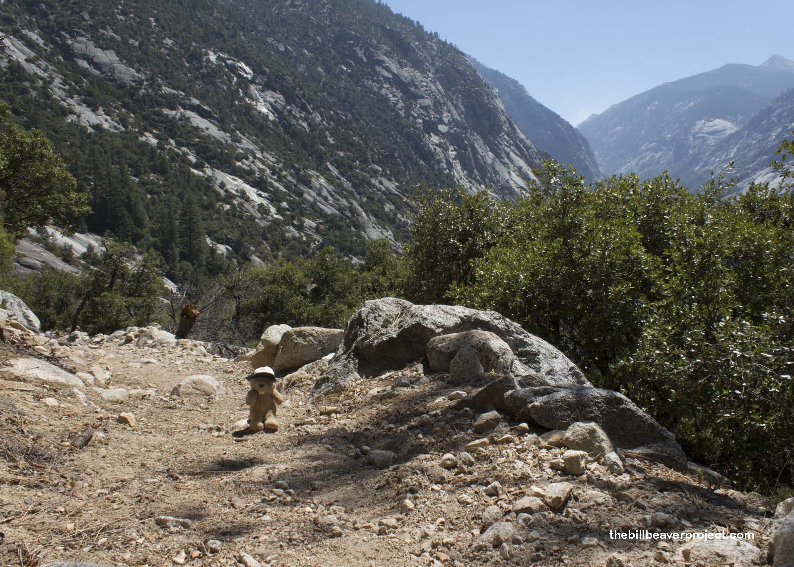
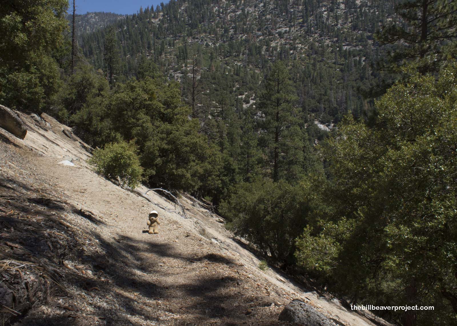
And hot it was! The first few miles of the trail were totally exposed switchbacks leading right up the side of the canyon. The shady spots were few and far between, which made me glad I’d brought lots of water!
 |
 |
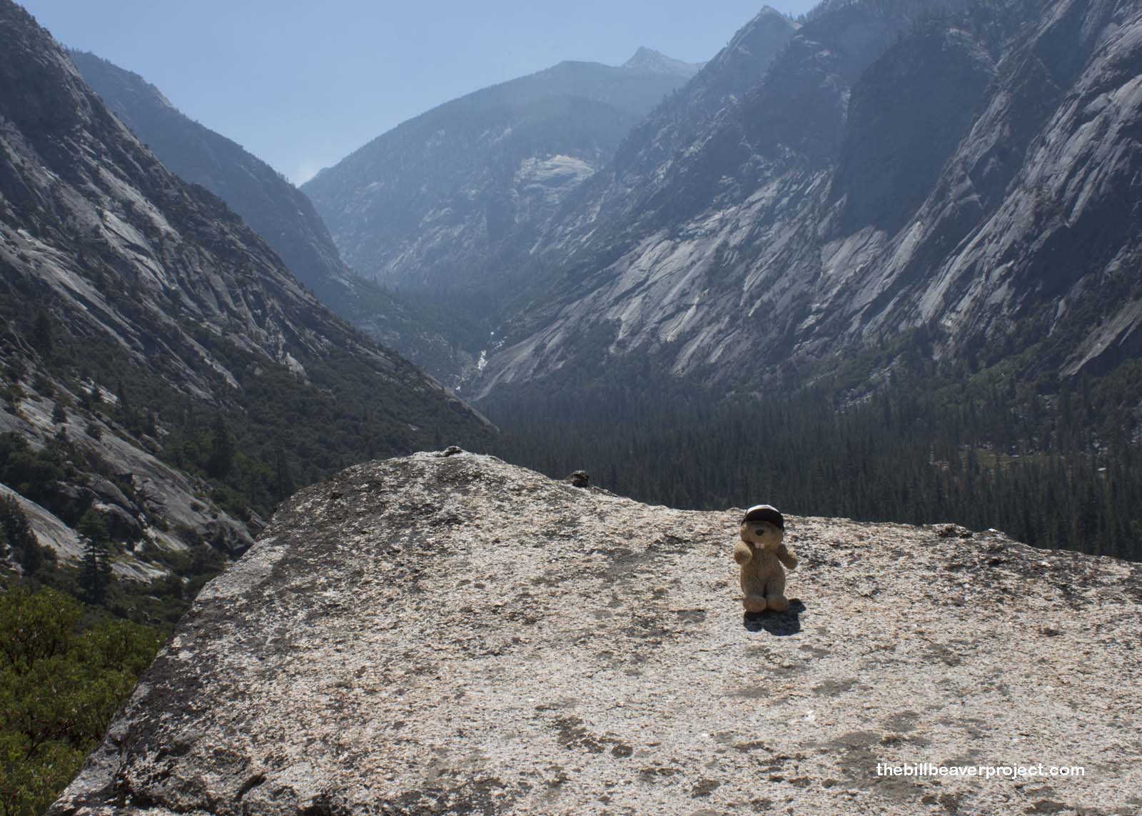
It was worth the challenge, though, because of its amazing views! Kings Canyon is the deepest in the United States: over a mile and a half deep! It got its name from the Kings River running down the middle, which was named by Gabriel Moraga in 1805 for Los Reyes Santos. However, it wasn’t a river that carved this massive canyon but a mighty glacier from ages past!
 |
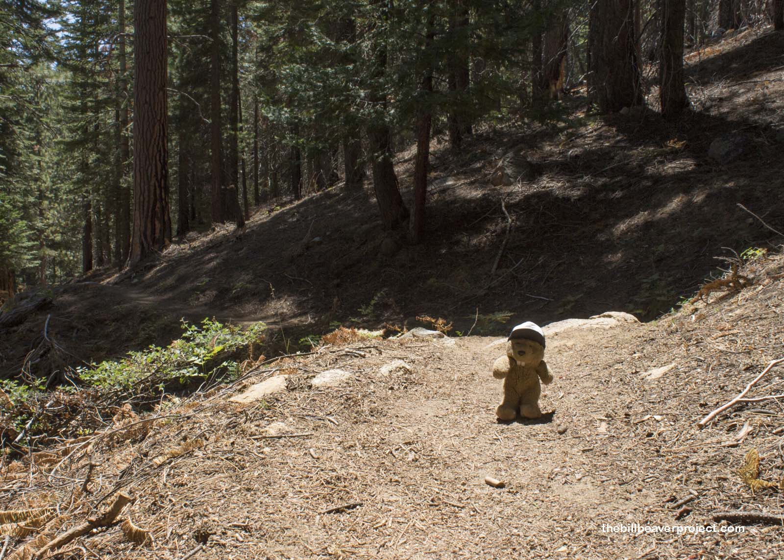
There was a nice stretch of woodlands that gave me a break from the scorching sun, but I was still struggling to pace myself since the entrance kiosk hadn’t given me a map like most national parks do. I was judging my pace based on the Lower Tent Meadow campground, but I ended up trekking right past it without even seeing it!
 |
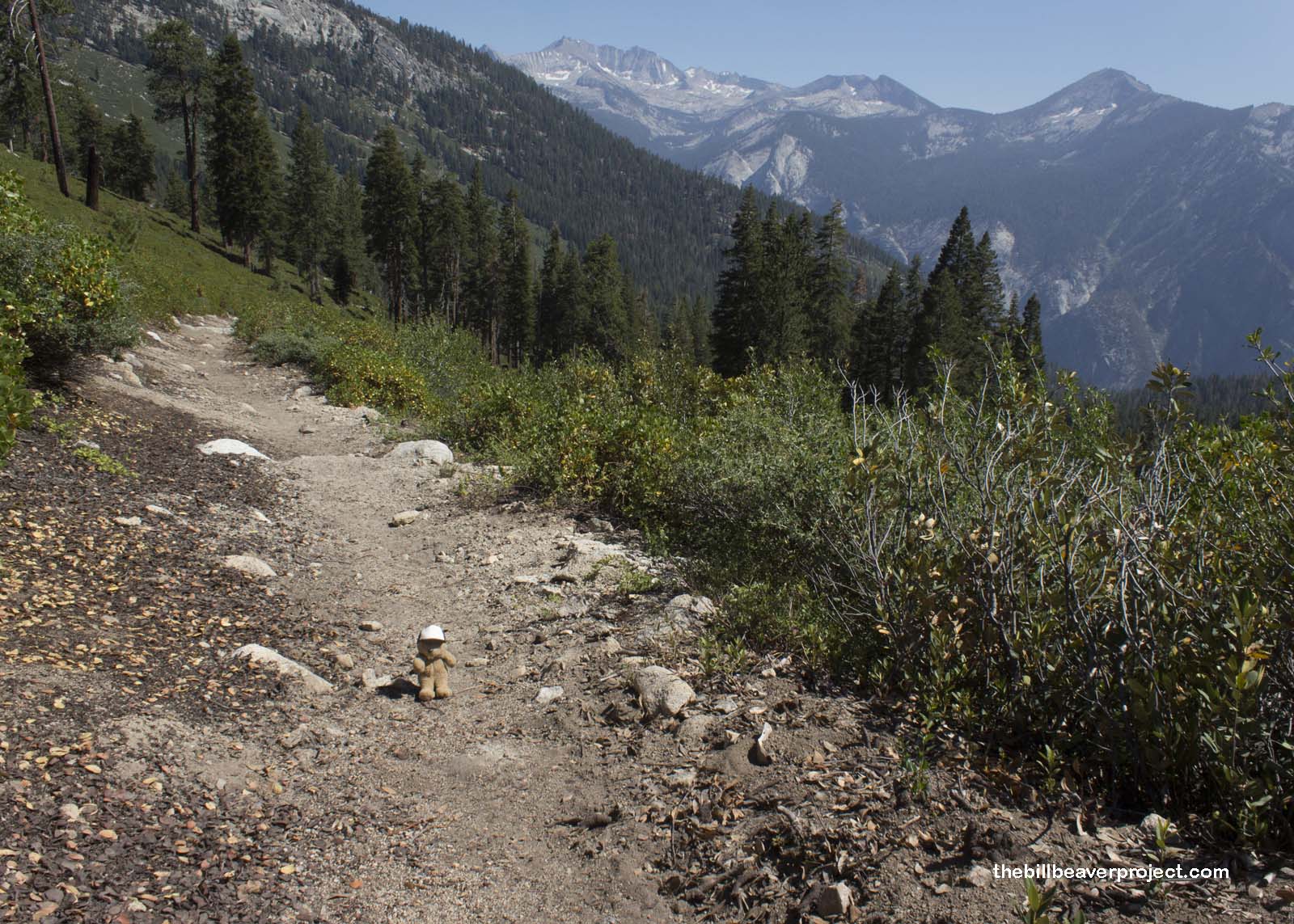
That took me into the meandering switchbacks of Upper Tent Meadow, which, like Lady Godiva, was beautiful and exposed! The trail touched Copper Creek just long enough to splash some water on my face, which was such a relief as the afternoon sun burned down!
 |
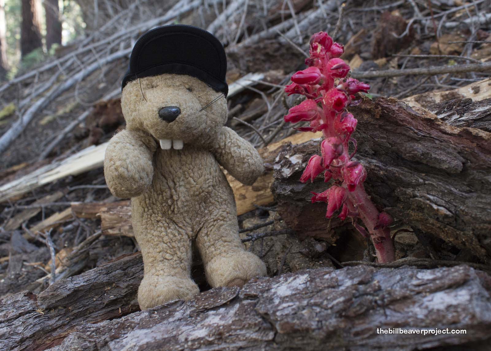
Then the trees closed back in, and I spotted one of the most unique and unusual plants in the Sierra Nevadas: the snow plant! This bright red plant is surprisingly related to manzanitas and azaleas and was named by the same John Torrey of Torrey pine fame. It has no chlorophyll, so it can’t photosynthesize. When it pops up through the snow in late spring, it draws nutrients from the fungi growing around the roots of the conifers around it!
 |
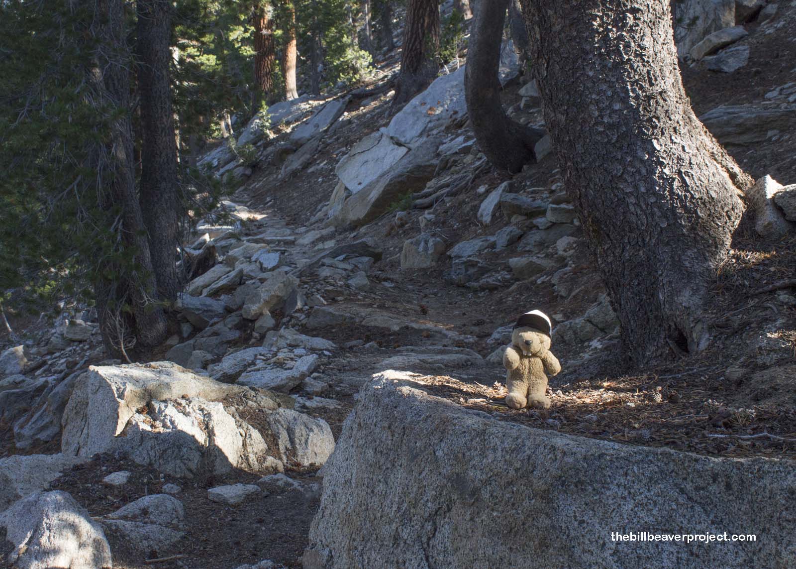
Then, after stopping to smell the snow plant, I had one last psychologically intense scramble up the seemingly endless switchbacks through the trees. The Copper Creek Trail gains over a mile of elevation, winding up at over 10,000 feet above sea level! And I was hurting! Even though I was better prepared than when I climbed Baegundae with my mom, this was an exhausting hike!
 |
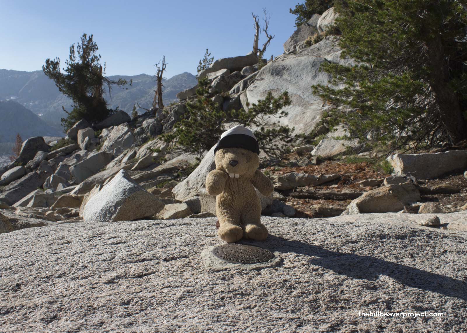
I was so excited when, finally, after lots of false finish lines, I reached the Lip, the 10,360-foot viewpoint over Granite Basin! I’d made it! Sort of. Before I could set up camp, I had to navigate down the steep slopes of the basin, dodging pools, mud holes, and sudden drops!
 |
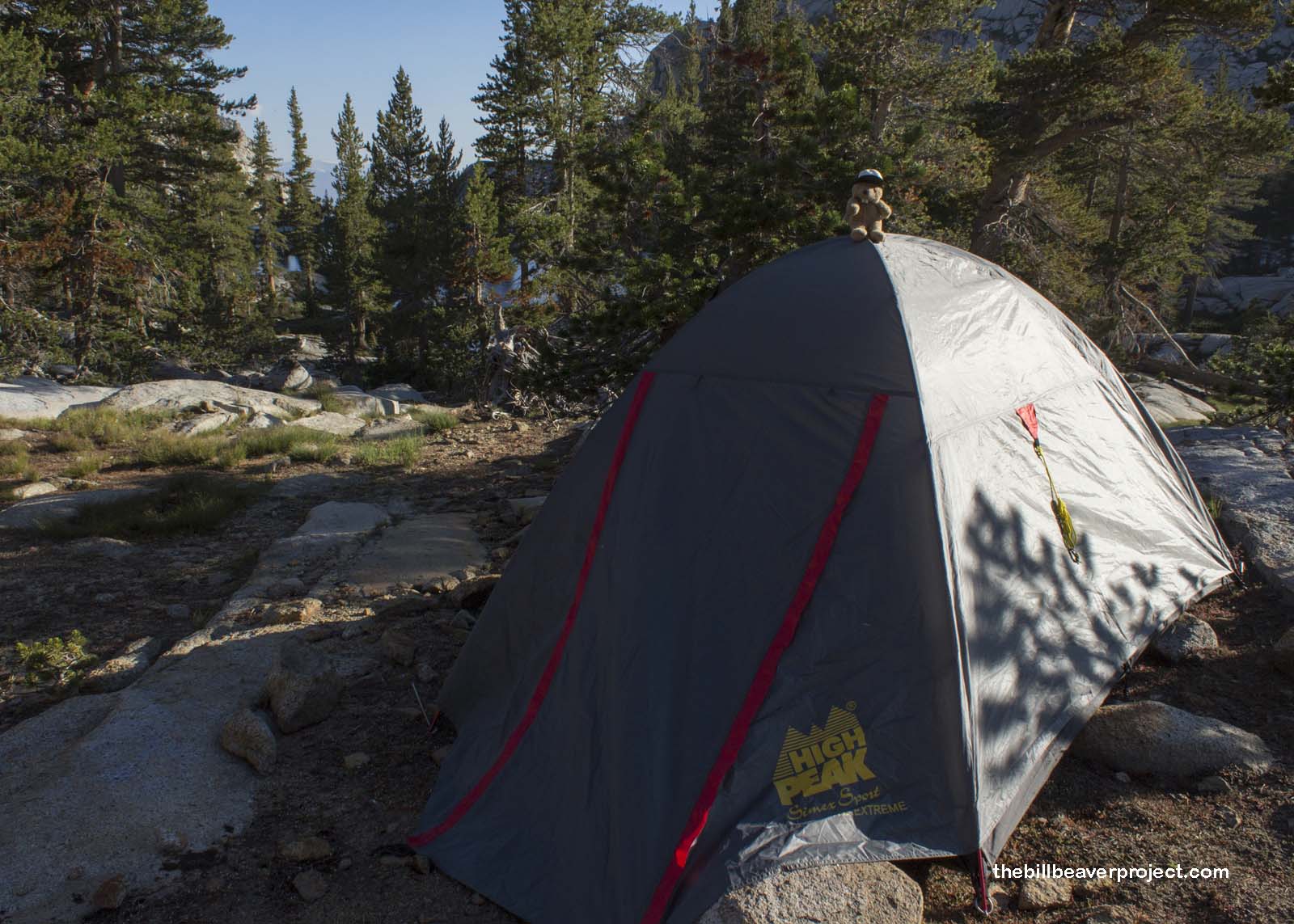
It was pretty rough on these tired bones of mine, but at last, I arrived safely near the shores of two nameless mountain lakes and set up the tent! My heart was pounding in my ears, so as the day settled in, I only had enough energy to take a long cold drink from Granite Creek and crawl into my sleeping bag. It meant I would miss this year’s Perseid Meteor Shower, but luckily, it will happen again next year! And nothing seemed better than falling gently to sleep with the sound of a burbling creek in the distance…
 |
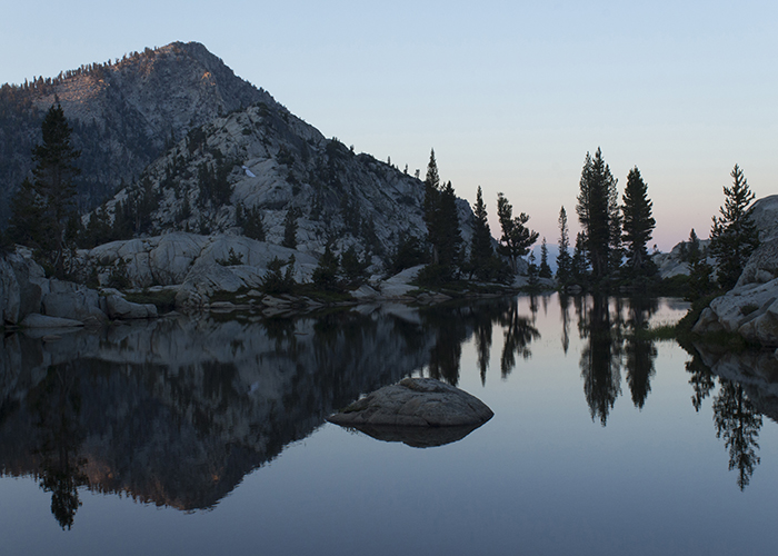
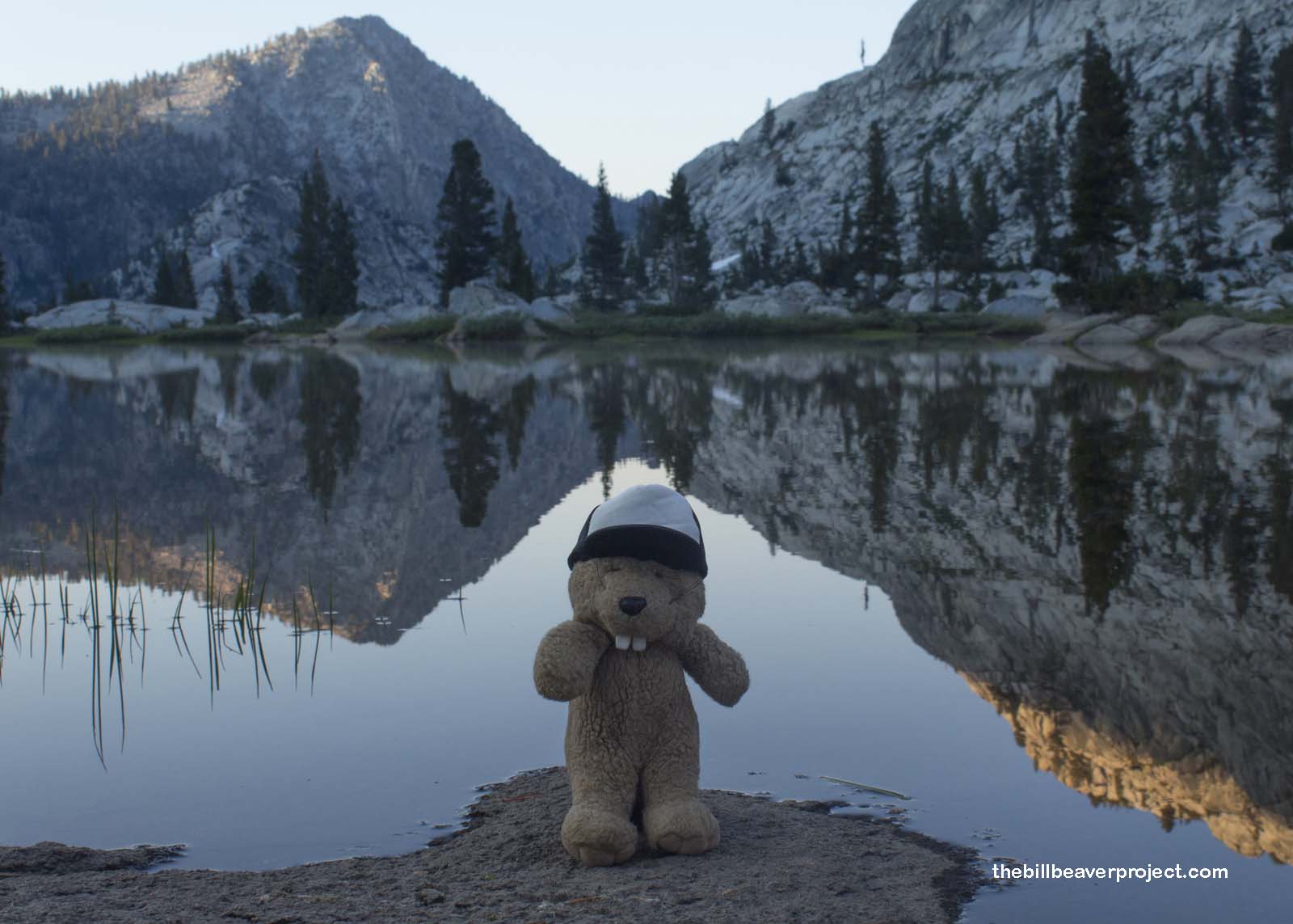
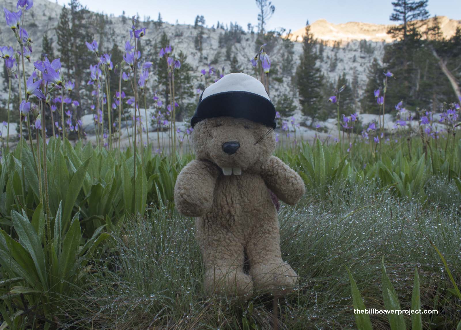
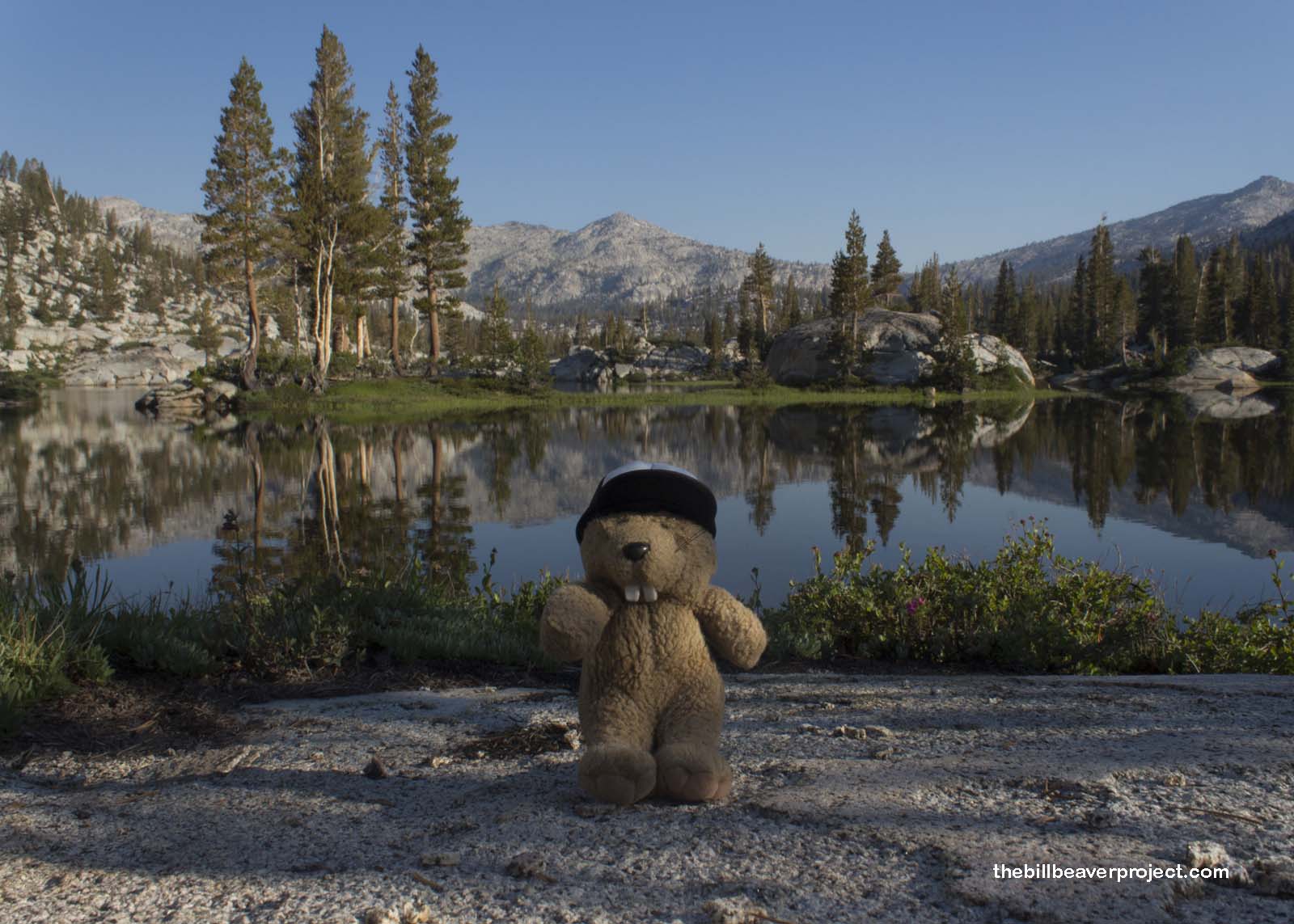
I awoke at first light the next morning with all my energy restored! I bounded out of the tent and set off to explore Granite Basin. It was chilly, but not unbearable. The early morning sun was just starting to kiss the tops of the mountains, which reflected on the mirror-clear surface of these mysterious mountain lakes.
 |
And although I missed the shooting stars in the sky last night, I found a whole bunch of them on the ground this morning. Relatives of the primrose, these shooting star plants speckled the dewy green landscape with flecks of lavender!
 |
I wandered the meadow and scrambled over boulders as the sun crept into the basin, basking the colors, the fresh air, and the cool mountain water, even when I fell in! But with the sun came a reminder that I still had a long, hot hike back to the trailhead. So I took one last look at the lake…
 |
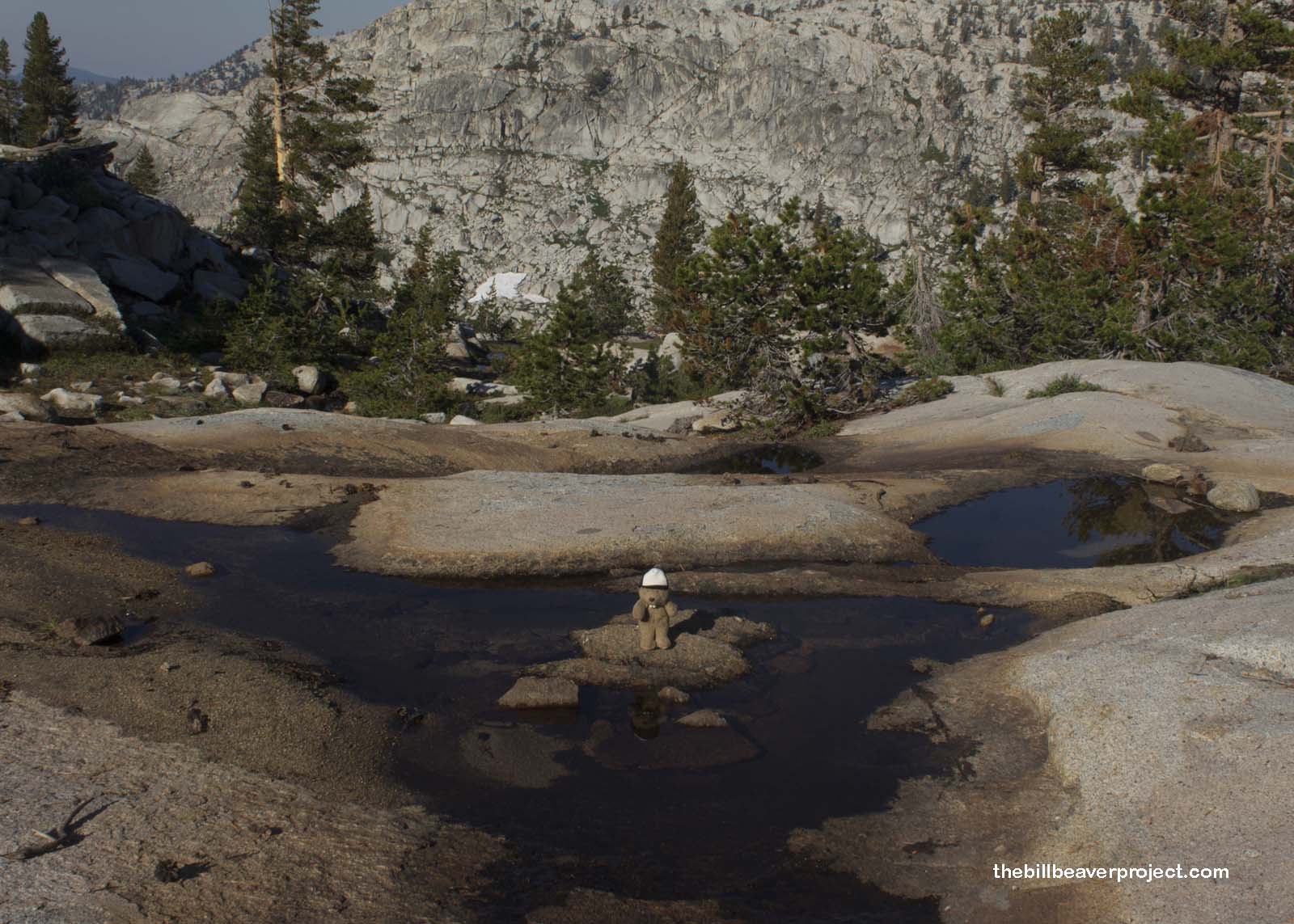
And I scrambled back up out of the basin and down the trail in three hours and ten minutes!
 |
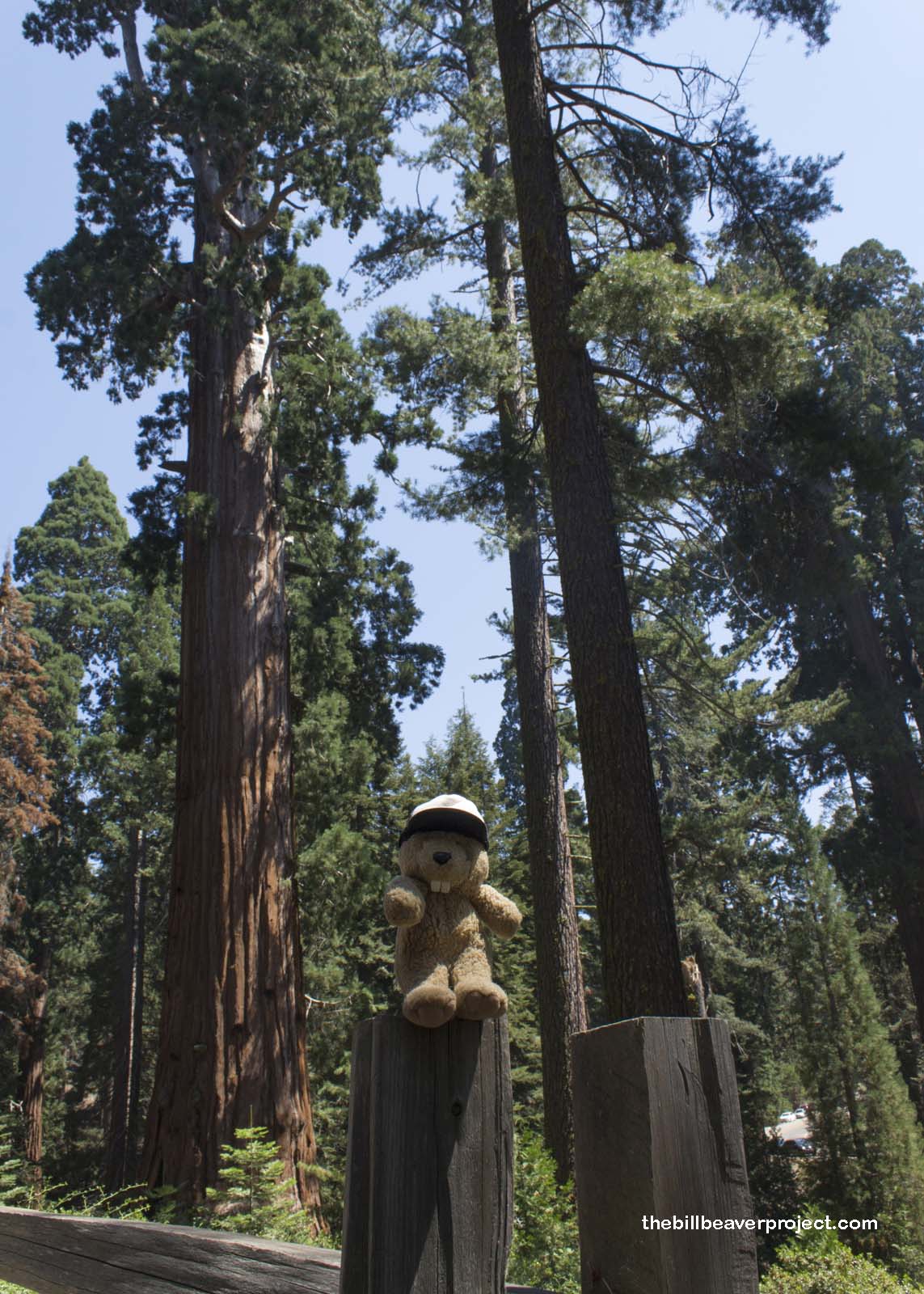
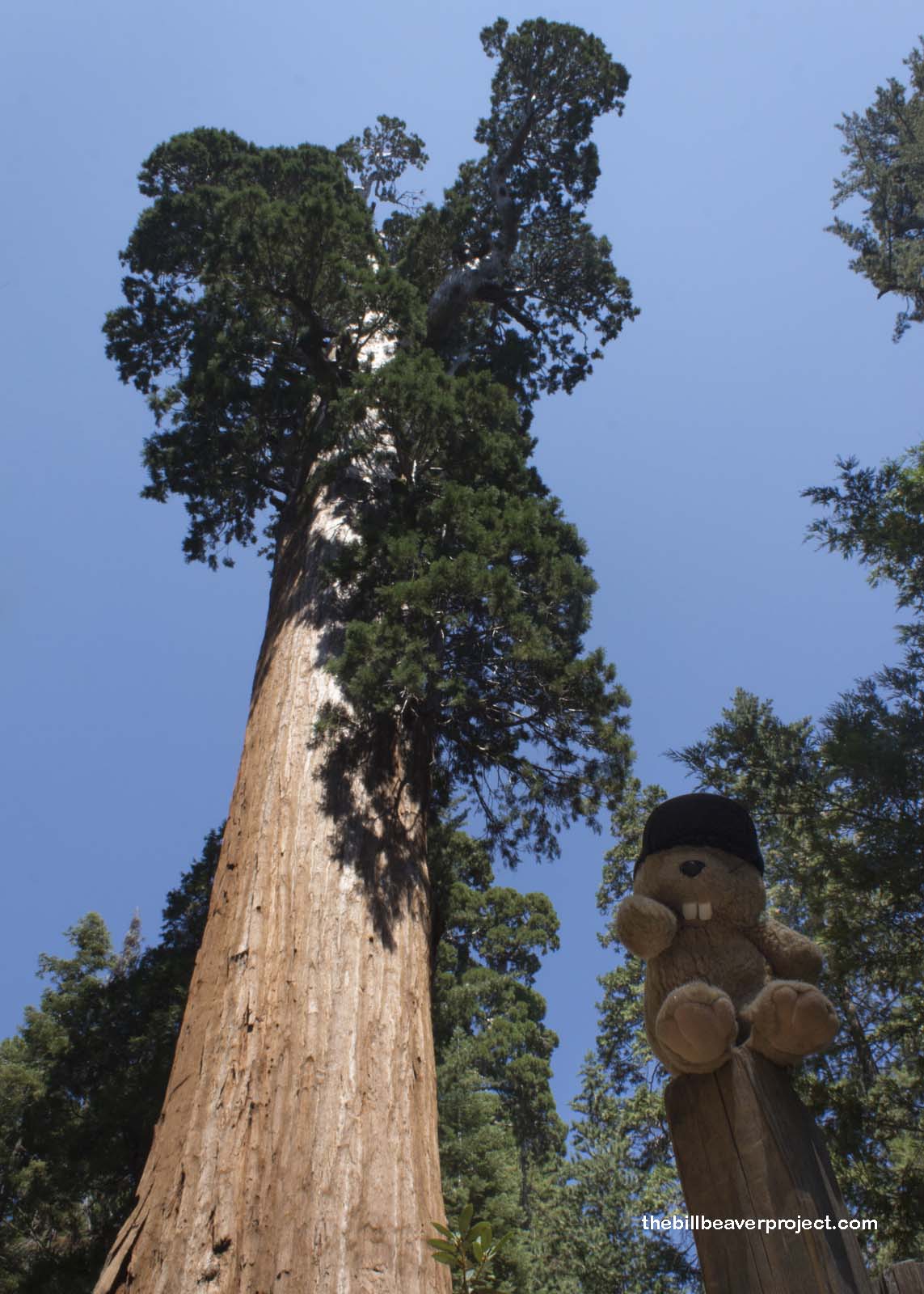
I had to make a few pit stops on the way out: a historic gas station with a surly attendant doling out fuel by the liter, the Hume Lake summer camp which had a touch-screen milkshake maker in their general store and wouldn’t let campers buy energy drinks “for liability reasons,” and then the famous Grant Grove of giant sequoias! Grant Grove was once part of General Grant National Park, our nation’s third after Yellowstone and Sequoia. It is also home to the world’s third largest tree!
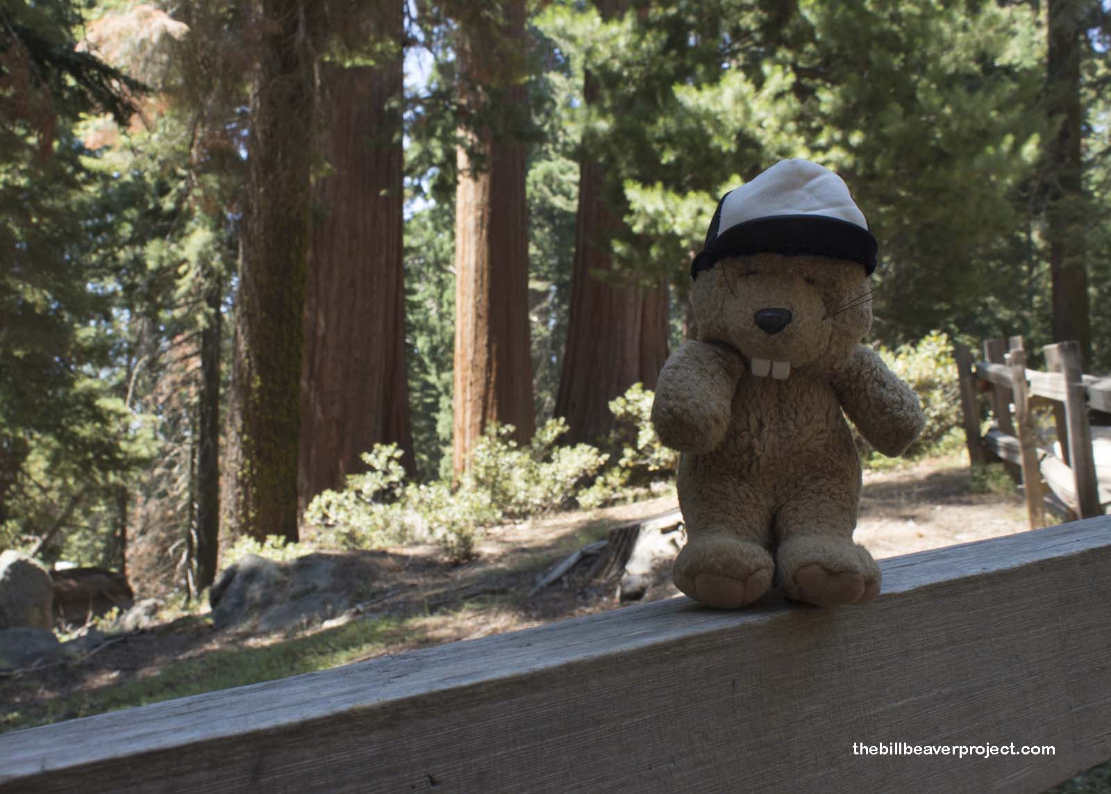 |
That tree is General Grant, named for Ulysses S. Grant, and also named the national Christmas tree by Calvin Coolidge on April 28, 1926. At a towering height of 270 feet, with a circumference of 107 feet and an age of over 3,000 years, General Grant, like General Sherman down the road, is jaw-dropping and well worth the stop!
 |
 |
Like General Grant, the way home was long and slow, because the GPS suggested a new route that promised to cut off 7 minutes from the travel time. That route led up Old Ridge Road just over the border between Kern and Los Angeles Counties. Old Ridge Road was super thin and pockmarked by potholes and fallen boulders to dodge. It was 17 miles long, and after fifteen minutes of driving it, the road ended.
That meant having to backtrack to the beginning, all the while watching more cars take the same bad directions and try to turn around on this same narrow road. By the end, there were 60 cars and a trailer lined up to get out of this “shortcut!” What a mess! Instead of shaving off 7 minutes from the drive, it added an hour! Yuck! I’m never trusting shortcut suggestions from a machine again!
Happy trails!

