 |
| Landmark #PA0015.92 | Park County | Visited: August 22, 2017 | Plaque? YES!  |
| What is it? | A sign by the side of the road! |
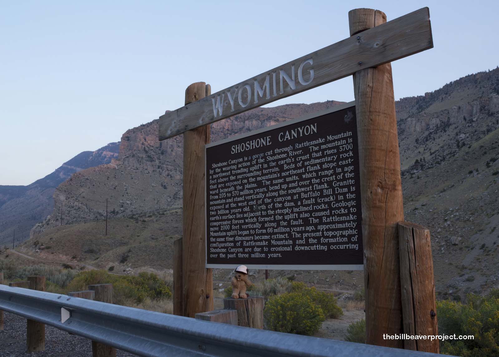
| What makes it historical? | THE SIGN SAYS: Shoshone Canyon is a gorge cut through Rattlesnake Mountain by the wearing action of the Shoshone River. The mountain is a northwest trending uplift in the earth’s crust that rises 3700 feet above the surrounding terrain. Beds of sedimentary rock that are exposed on the mountain’s northeast flank slope eastward beneath the plains. The same units, which range in age from 205 to 570 million years, bend up and over the crest of the mountain and stand vertically along the southwest flank. Granite exposed at the west end of the canyon at Buffalo Bill Dam is two billion years old. North of the dam, a fault (crack) in the earth’s surface lies adjacent to the steeply inclined rocks. Geologic compressive forces which formed the uplift also caused rocks to move 2000 feet vertically along the fault. The Rattlesnake Mountain uplift began to form 66 million years ago, approximately the same time dinosaurs became extinct. The present topographic configuration of Rattlesnake Mountain and the formation of Shoshone Canyon are due to erosional downcutting occurring over the past three million years.
OTHER TIDBITS: That pretty well sums it up! |
| How can I Help the Helpers? | HERE’S HOW:
|
| How do I find it? | Listed Directions: The north side of US-14, 0.8 miles west of Spirit Mountain Road and 0.8 miles east of Hayden Arch Road Cody, WY 82414 Annotations: From Casper: ~219mi (353km) — 3.7hrs |
| When should I go? | Whenever the mood strikes you! |
