 |
| Not numbered. | Mason County | Visited: September 2, 2019 | Plaque? YES! 🙂 |
| What is it? | A plaque at the heart of Point Pleasant, West Virginia! |
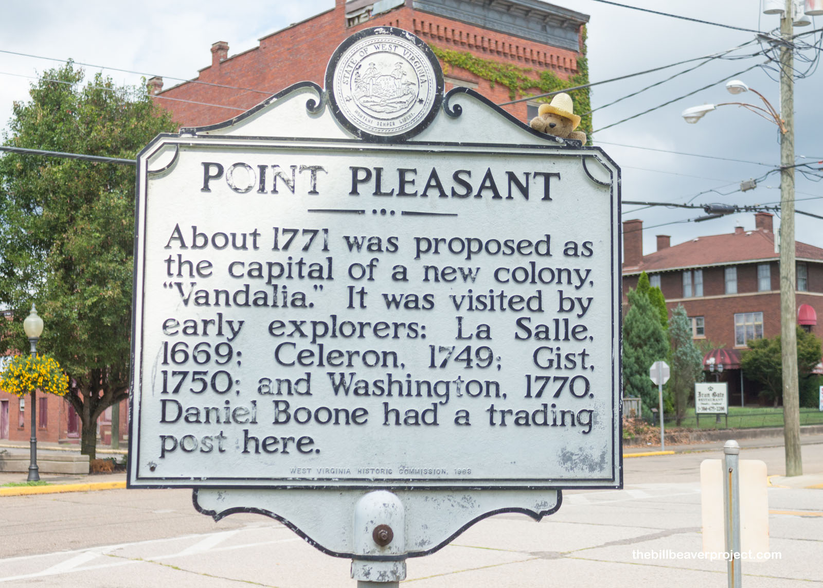
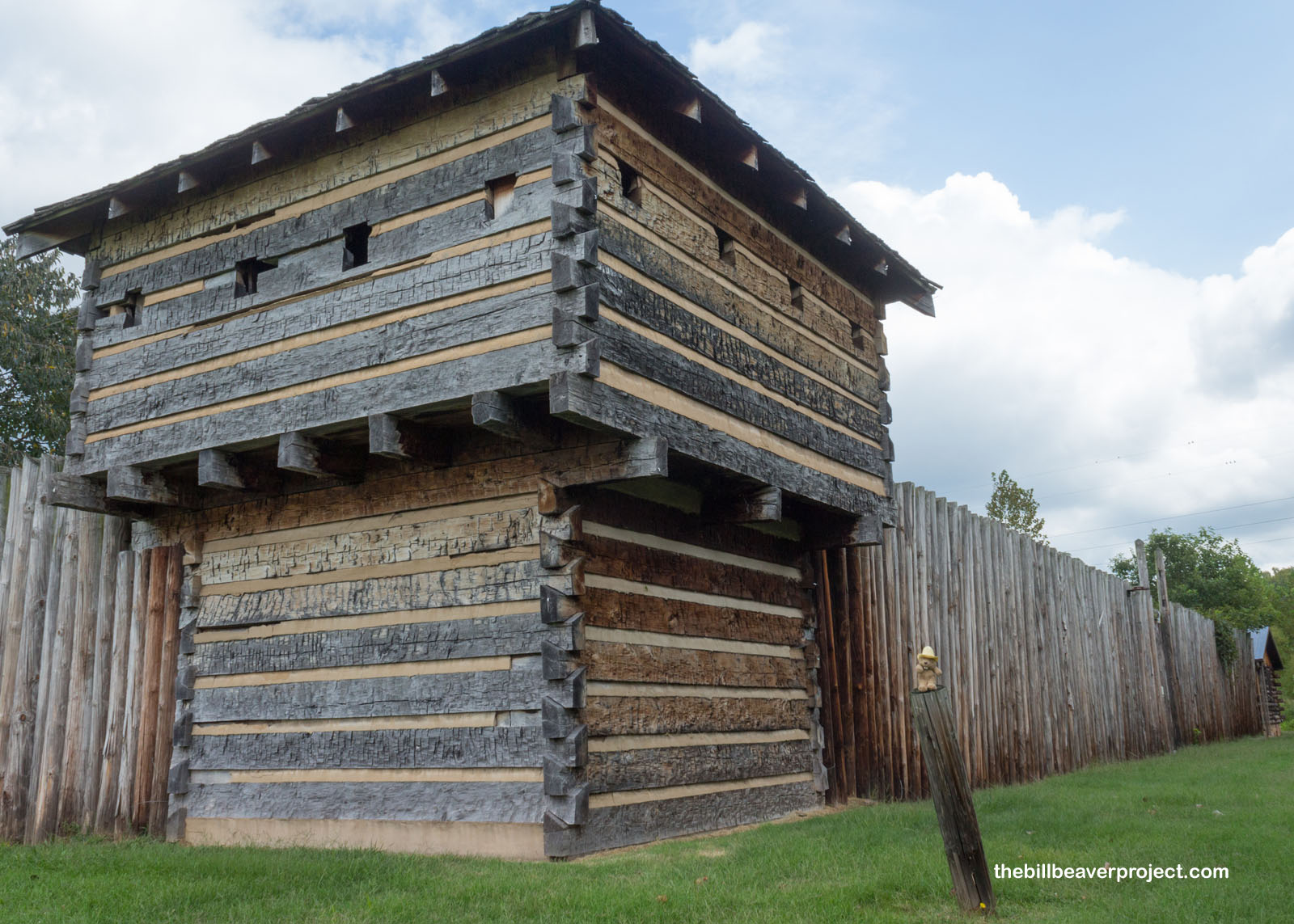
| What makes it historical? | THE PLAQUE SAYS: Fort Blair was built here in 1774 and later Fort Randolph, the center of Indian activities, 1777-1778. Here are graves of “Mad Anne” Bailey, border scout, and Cornstalk, Shawnee chief, held hostage and killed here in 1777. About 1771 was proposed as the capital of a new colony, “Vandalia.” It was visited by early explorers: La Salle, 1669; Celeron, 1749; Gist, 1750; and Washington, 1770. Daniel Boone had a trading post here. OTHER TIDBITS: In 1749, French explorer, Pierre Joseph Céloron de Blainville, let an expedition through this area and claimed the confluence of the Kanawha and Ohio Rivers for France! He wasn’t able to win the loyalty of the local tribes, though, and so, by the end of the French and Indian War, English, and later American, influence came to dominate the region! In 1774, British colonists set up Camp Point Pleasant here, the oldest English settlement on the Ohio River, and built a fort called Fort Blair, where conflicts between British and Shawnee/Mingo warriors led by Chief Cornstalk, came to a head with the Battle of Point Pleasant! After Chief Cornstalk was murdered on a visit to the renamed fort, the area never prospered, which some associate with a curse! |
| How can I Help the Helpers? | HERE’S HOW:
|
| How do I find it? | Listed Directions: Point Pleasant Courthouse Square WV 2 and 6th Street 0.1 miles west of WV 62 Annotations: From Charleston: ~56mi (91km) — 1hrs |
| When should I go? | Whenever the mood strikes you! |


