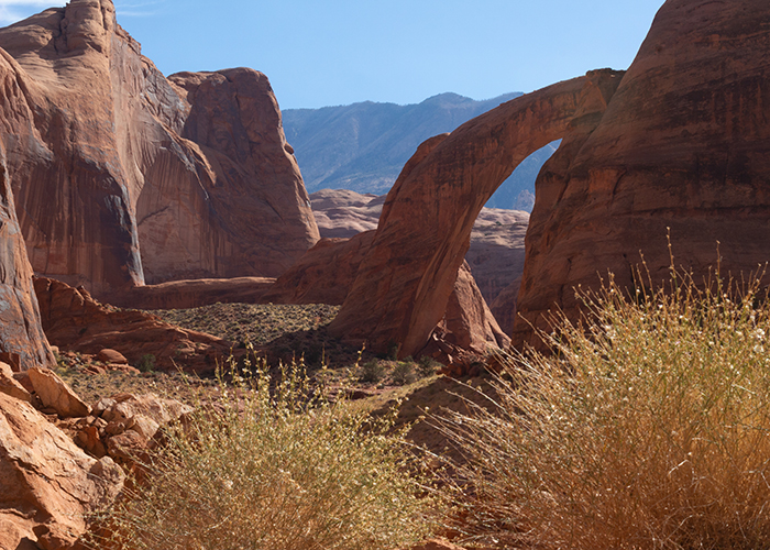
 Previous Day |
Page, AZ → Rainbow Bridge NM → Flagstaff, AZ 251.0 mi (403.9 km) |
 More 2023 Adventures |
I’m headed for the Rainbow Bridge, everyone!
I mean, sure, every beaver makes it to the Rainbow Bridge eventually, but this is one I get to see while I’m still kickin’! It sure hasn’t felt like it, though—I’ve been waiting for years for conditions to be right to come here! Anyway, I got up super early and headed to the lobby of Lake Powell Resort at Wahweap to catch a boat to a long awaited national monument!
 |
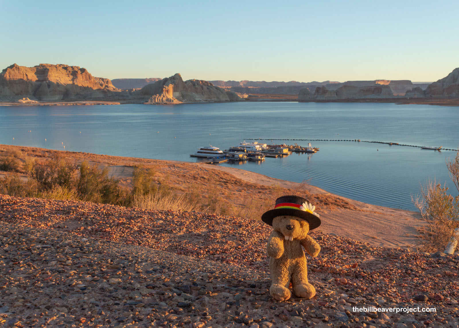
As consolation for being up so early, it was a super pretty sunrise! Lake Powell (named, of course, for John Wesley) was about as glassy smooth as could be. Though I was still in Arizona Standard Time, to the north, I could see the golden sandstone peaks of Utah, a whole hour ahead! Today’s cruise would jump across time and space, but that’s to be expected when crossing the Rainbow Bridge!
 |
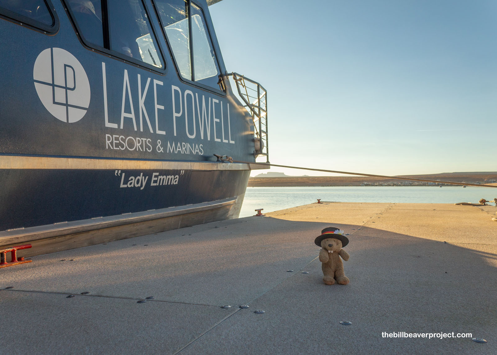
Today’s boat was the Lady Emma, named after Emma Powell! She was 50 feet long and a double-decker able to carry 48 passengers (the boat, not Mrs. Powell). At this time of year, she was far from capacity, which was nice, and everyone got the opportunity to settle in behind the windows with coffee or lemonade, or let the wind whip through their hair on the upper observation deck!
 |
I, of course, opted for the top, as long as the wind allowed! It was a perfect day for cruising Lake Powell, gently chilly for November but really pleasant, even with the breeze! We motored for a while out of Wahweap Bay (Wahweap meaning “bitter water” in Paiute) until we crossed the No Wake Zone and had to go downstairs while the engines revved up!
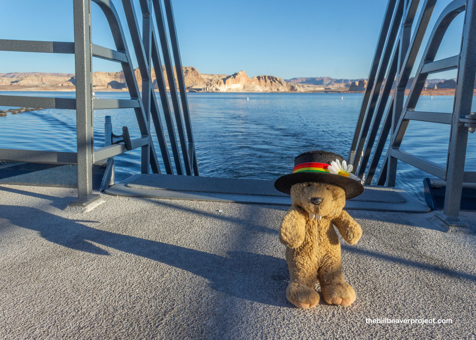 |
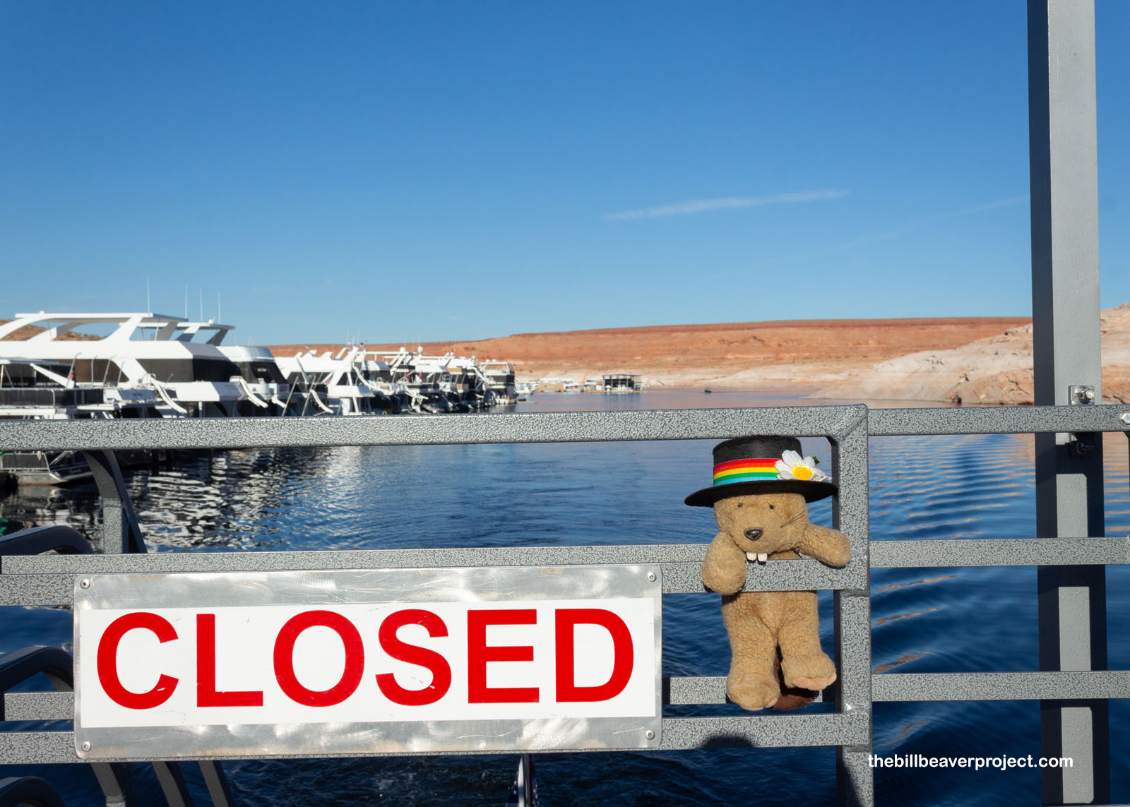
We whizzed out of Wahweap Bay, past the Glen Canyon Dam and the annual Page-Lake Powell Balloon Regatta, which was just sending up the day’s first wave of hot air balloons! We passed Antelope Point Marina, where folks can rent anything from a kayak to a $2,800-a-day house boat! Lake Powell has very strict boating rules, since it’s managed by the National Park Service. While folks can anchor their own boats at places like Wahweap, a boat can’t stay in any other place on the lake for more than 14 consecutive days or 60 total days in the calendar year! That was too complicated, so I was glad to let someone else do the boating.
 |
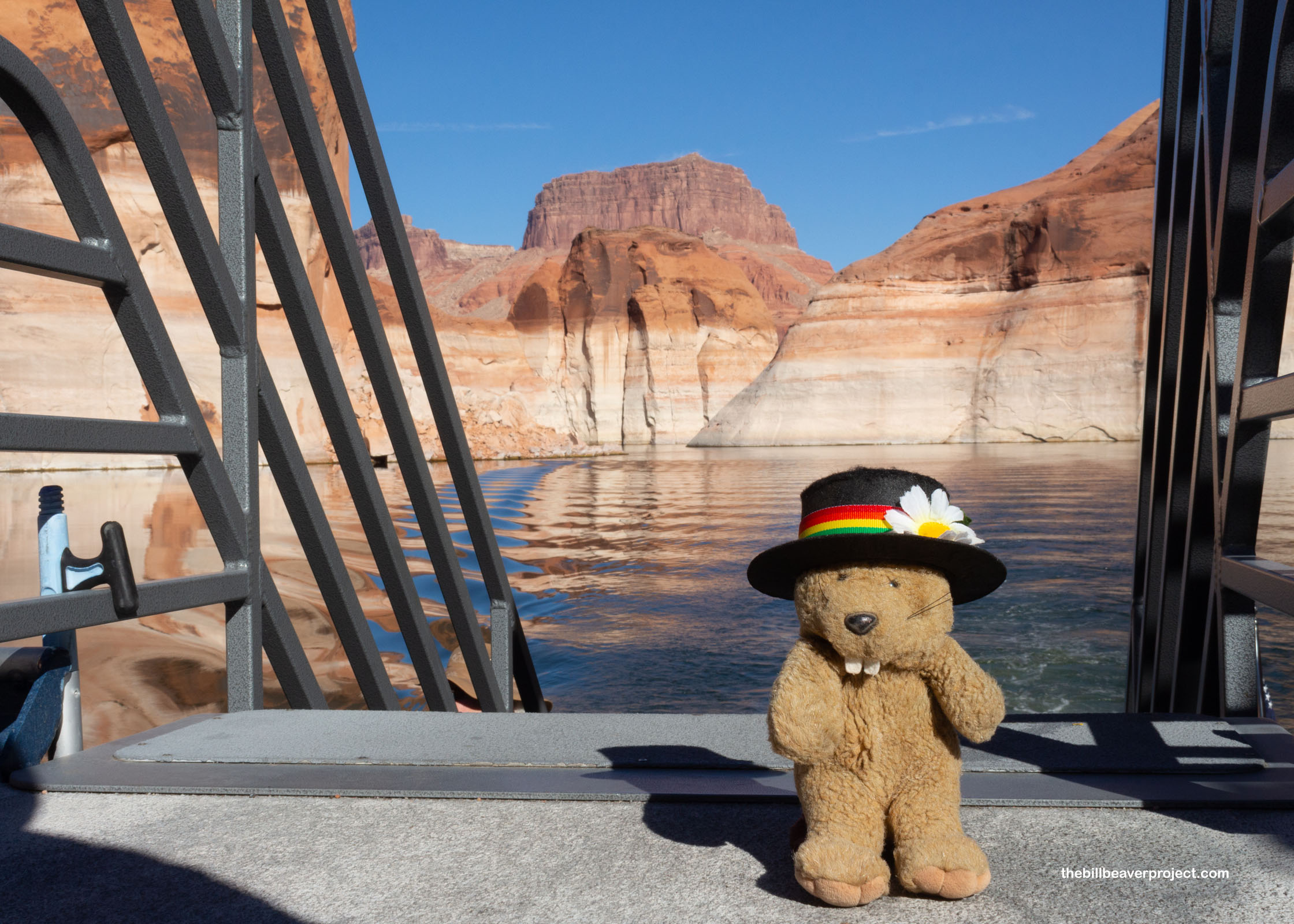
Once we were clear of Antelope Creek and Antelope Point, the Lady Emma kicked into high gear, clipping along for fifty whole miles over the course of an hour and a half! We passed through Padre Bay where the Dominguez-Escalante expedition crossed what was then just the Colorado River in 1776! We passed Last Chance Bay and Rock Creek Bay, West Canyon, Grotto Canyon, and finally Forbidding Canyon!
 |
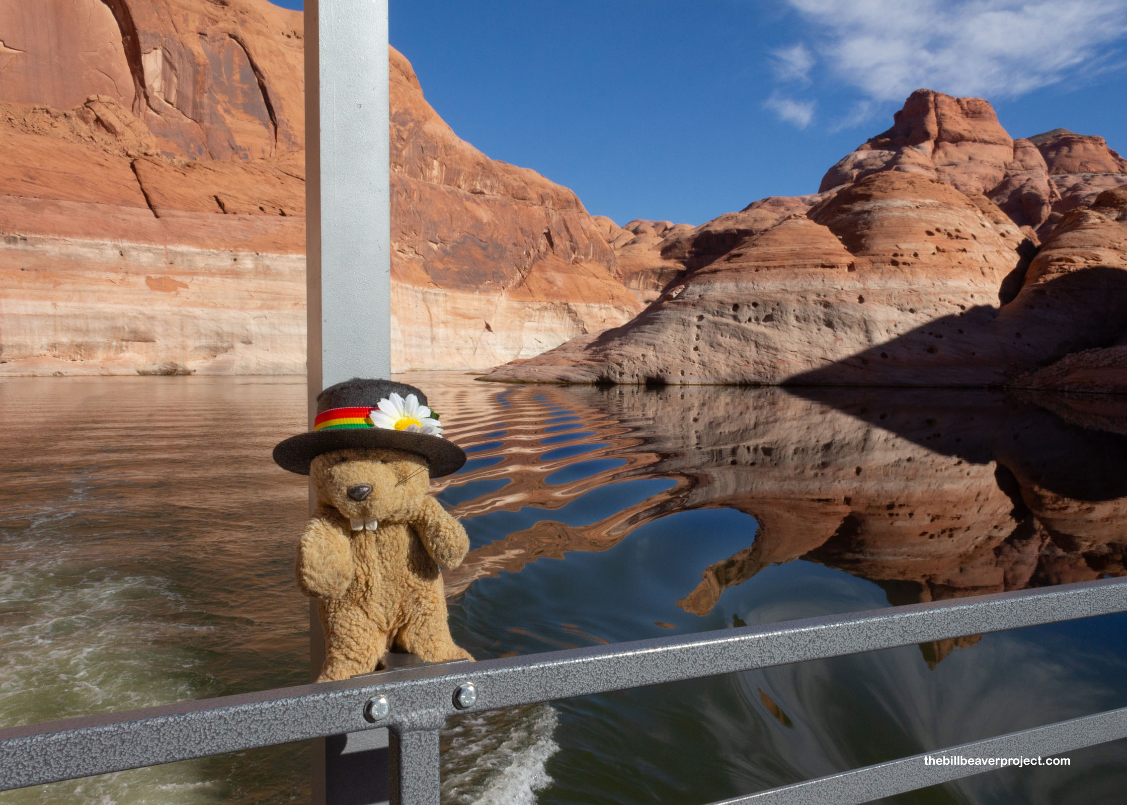
Once we were puttering through Forbidding Canyon, I was really able to read the history in the rocks. Lake Powell was born on October 1, 1956, with a blast of dynamite triggered by President Dwight D. Eisenhower. It took ten years to build the Glen Canyon Dam and sixteen more for the new reservoir to rise to its highest point of 3,700 feet. Since then, it’s fallen quite a lot, driven by drought. In February of this year, it was at 3,521 feet, and boats couldn’t safely get up this canyon. But with heavy spring rains, it shot up 62 feet in just four months! Even so, the fluctuating water levels have left a 129-foot, white “bath ring” of mineral deposits around the entire lake, which will be there long after we’re gone!
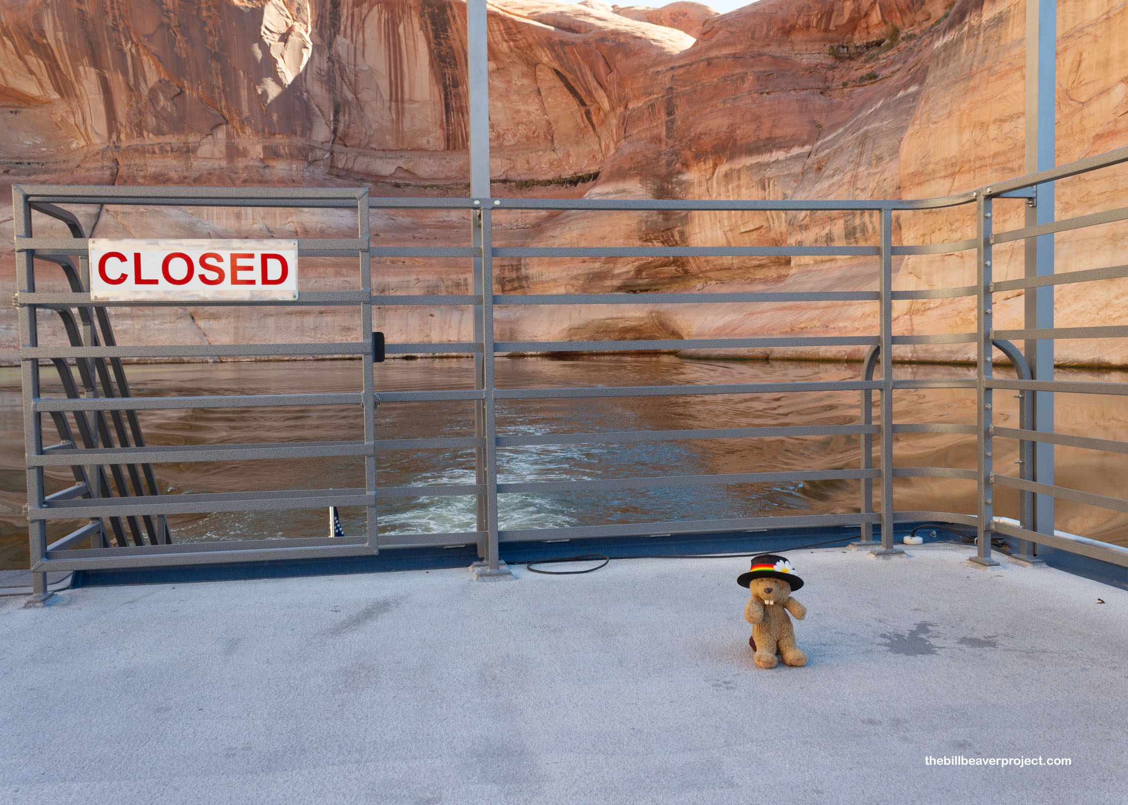 |
Be that as it may, as the cliffs rose around us on all sides, it was turning out to be the opposite of a forbidding day. In fact, with the rippling reflections on that glassy water under the blue sky, it was downright gorgeous! What a treat to finally get the chance to venture down this way!
 |
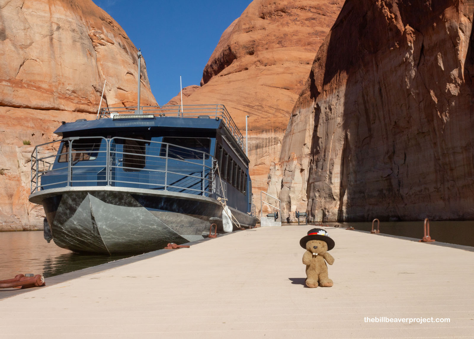
I was happy to see that the dock and bathroom had been re-attached after years of floating freely, and the passengers of the Lady Emma all disembarked with just under two hours on the clock to hike the mile-long trail out and back. I didn’t want to waste a second of it dawdling on the dock, so I took off!
 |
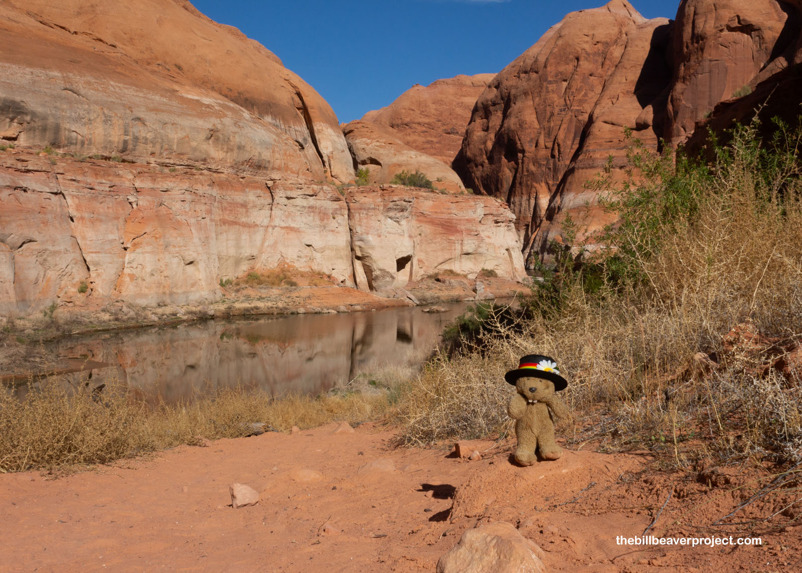
This trailhead sure has changed with the rise of Lake Powell. After all, Forbidding Canyon used to be a 6-mile hike up from the Colorado River, and the other way to get here from the east stretched 12 miles one way from the vicinity of Naatsisʼáán, or Navajo Mountain! Today, folks of all ages and fitness levels were embarking on the hike, making the world’s largest natural rock span more accessible than ever!
 |
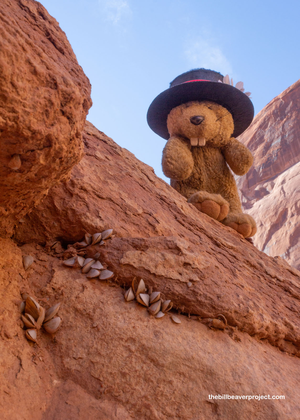
But accessibility comes with a cost, and one of those is the quagga mussel! These invasive mollusks from Ukraine first reached the Great Lakes in 1989 and have spread across the entire country. They’re food chain disrupting filter feeders that can clog boats and pipes! Despite all containment attempts, the first quagga mussels were reported in Lake Powell in 2013, and it only took three years for them to cover all 2,000 miles of lakeshore! The clusters here were a good five feet above the trail, and really, there isn’t much that can be done about them, a sad story for the local ecosystem, but some might argue the lake itself is a sad story for the ecosystem.
 |
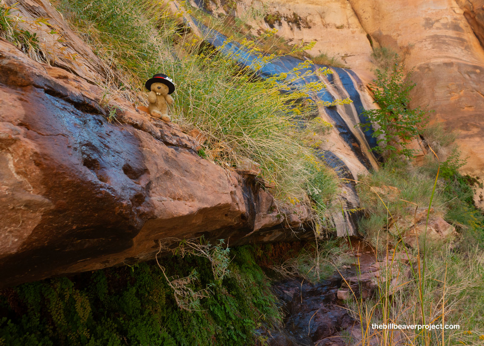
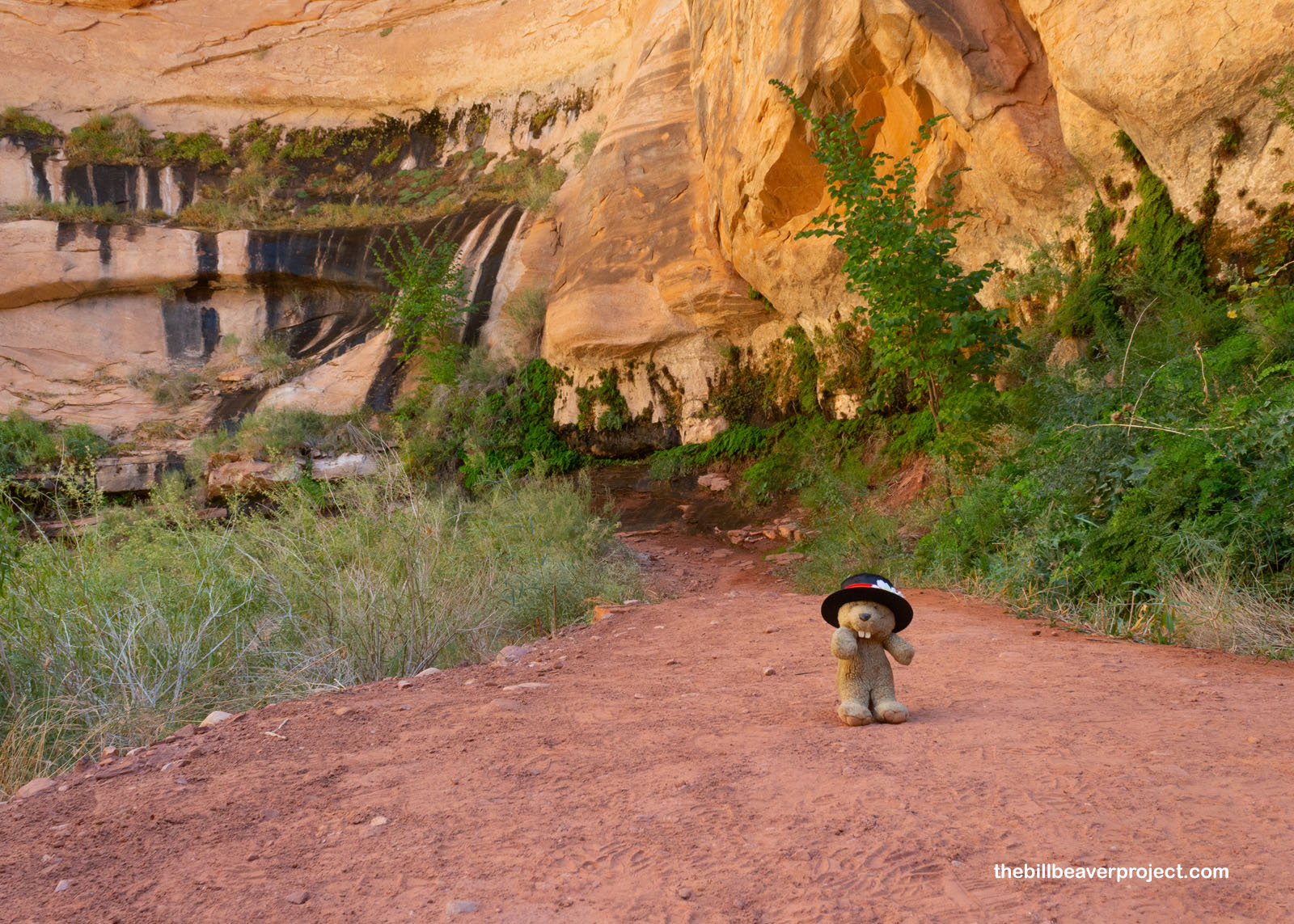
But not all of the original life has been drowned or crowded out here. About halfway up the trail, I came to a lovely hanging garden, fed by a spring trickling right out of the rock! There were native grasses and trees, and lots of maiden-hair ferns making the most of this cool oasis in what’s otherwise a pretty parched desert!
 |
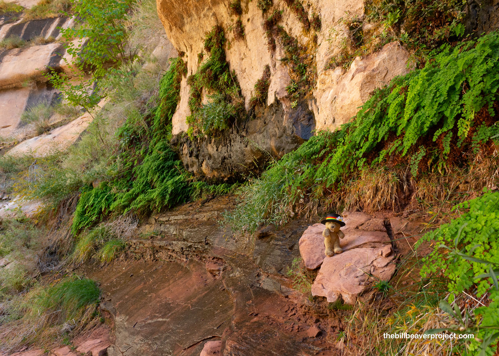 |
As the water leaches out of the rock, it carries minerals with it, like iron oxide and manganese! These leave black streaks down the red sandstone called desert varnish, which really added to the tapestry of reds, browns, and greens coming into the canyon today!
 |
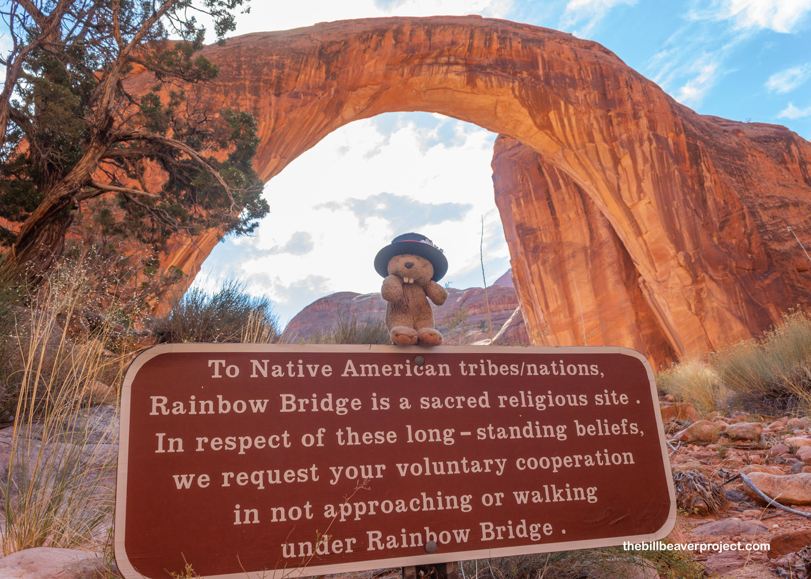
And then, I beheld it: the tiniest national monument sign! I couldn’t believe it. It was small enough for a careless human to trip over, but maybe it was that way so as not to distract from the enormousness of Rainbow Bridge in the background! I’d made it, after years of watching the National Park Service’s website like a hawk, waiting for the okay to make the journey, I was finally feasting my own eyes on this colossal stone wonder!
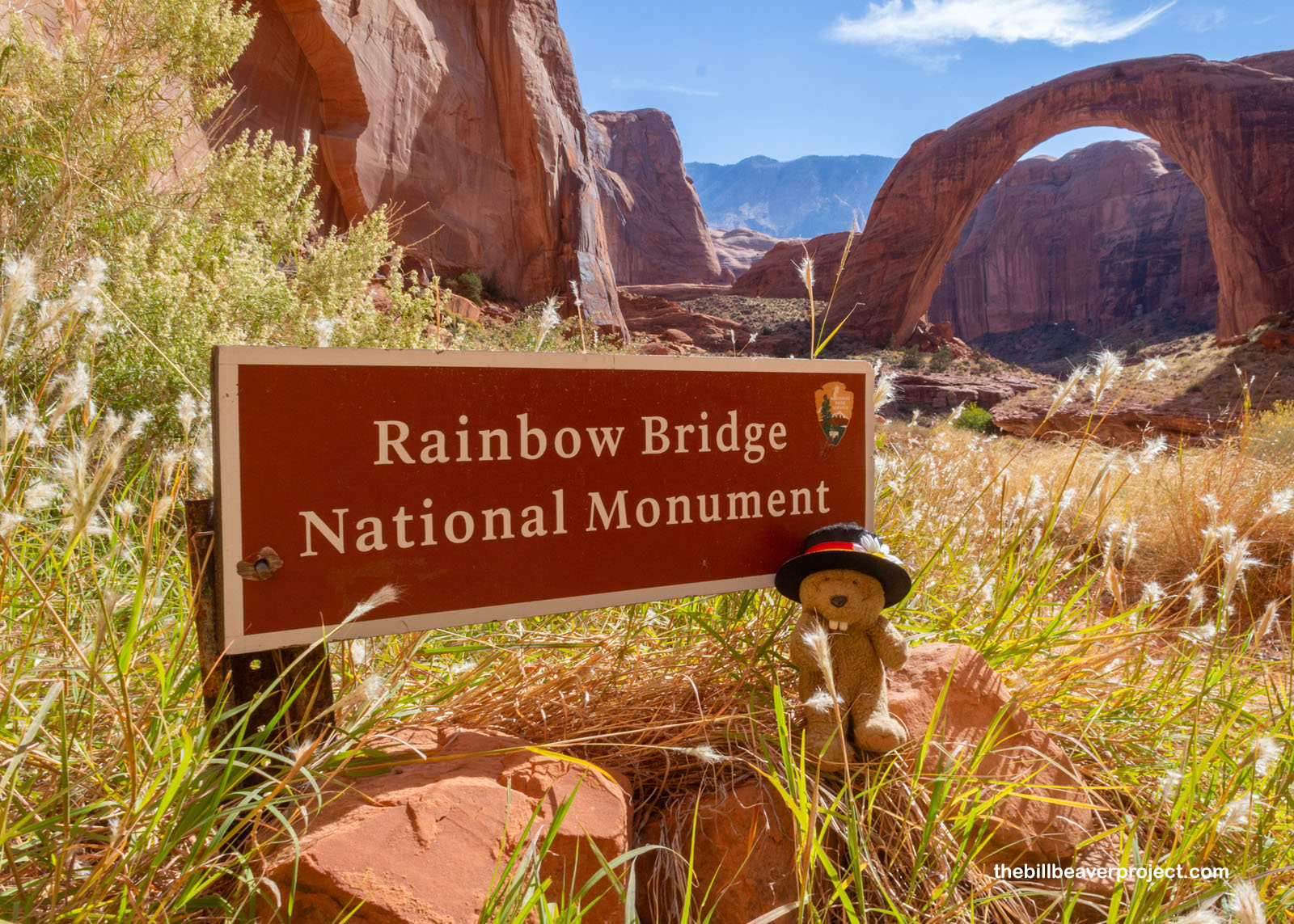 |
It’s been a wonder for a while! It’s significant to six different tribes in the region, which is why, in 2017, The National Park Service designated Rainbow Bridge as Utah’s first Traditional Cultural Property. It’s really hard to find all these tribes’ names for the bridge though! The most accessible is the Diné, which is Tsé’naa Na’ní’áhí, the Rock Span. Others like the Hopi (Shu-he-moe, the Beautiful) or Paiute (Barahoine or “rainbow”) seem to be interpreted by English speakers and are hard to research. Either way, multiple tribes are fighting to limit the number of visitors to this space, because tourism can easily disrupt spiritual practices! I thought it would make more sense if this sign just said this is a sacred site, rather than limit it to “others.”
 |
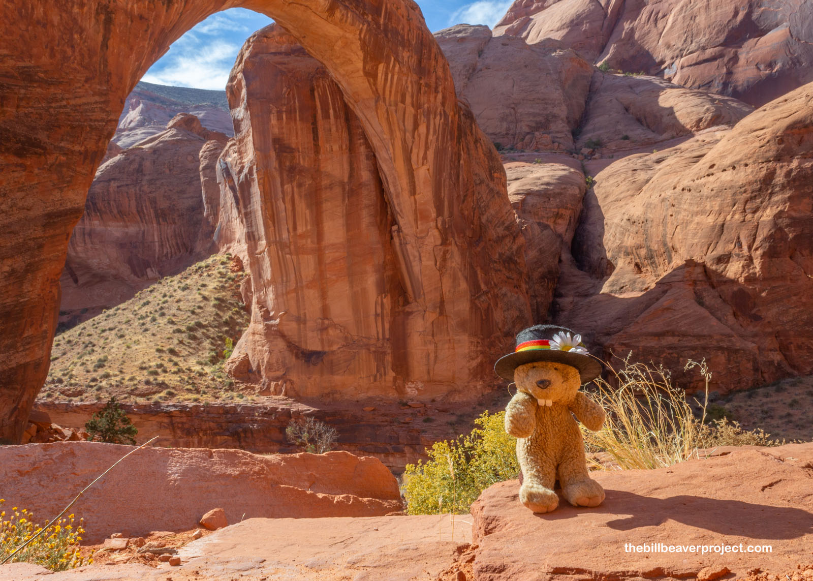
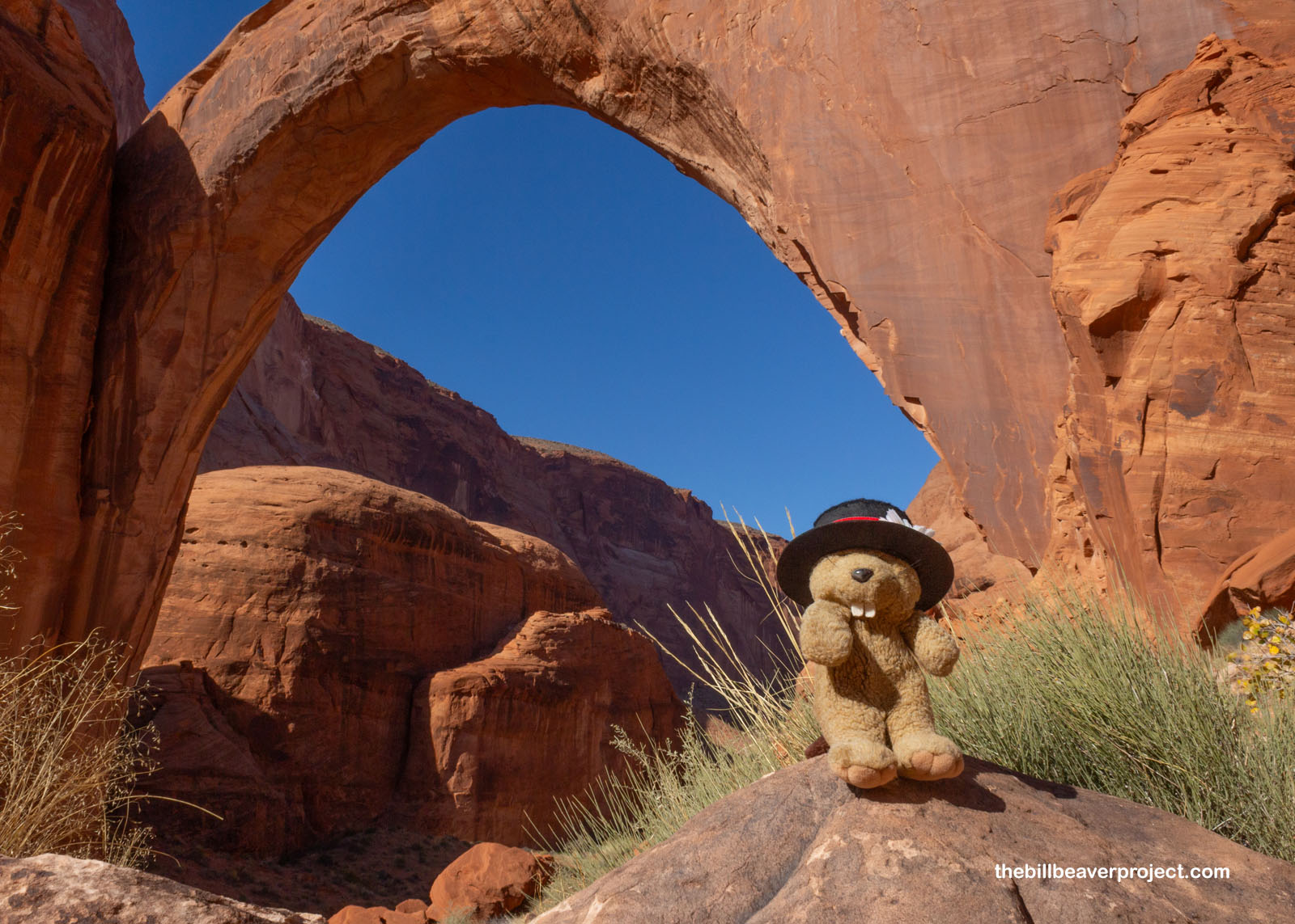
While it’s forbidden to walk under the bridge, a path lead all the way around it for a 360˚ view, plus a plaque commemorating the 1909 expedition by Dr. Byron Cummings and William B. Douglass. Led here by local Paiute guide, Nasja Begay, they sighted Rainbow Bridge and added it to the map, putting it on the path to national monument recognition the following year! I only had a few minutes to enjoy the tranquility of the place before the ranger pointed out the time, and started herding the crowd back to the dock. Like many adventure moments, this one was brief, but oh so spectacular!
 |
 |
After some yummy sandwiches, the Lady Emma whizzed us back across bays and time zones, and I was on my way south again to catch the train home to Los Angeles. First, though, I had to make a stop at one more must-see landmark in this part of Arizona. It’s one that attracts over two million visitors each year!
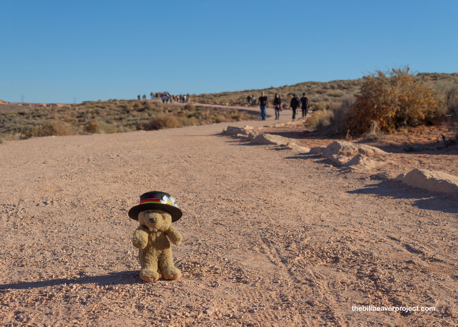 |
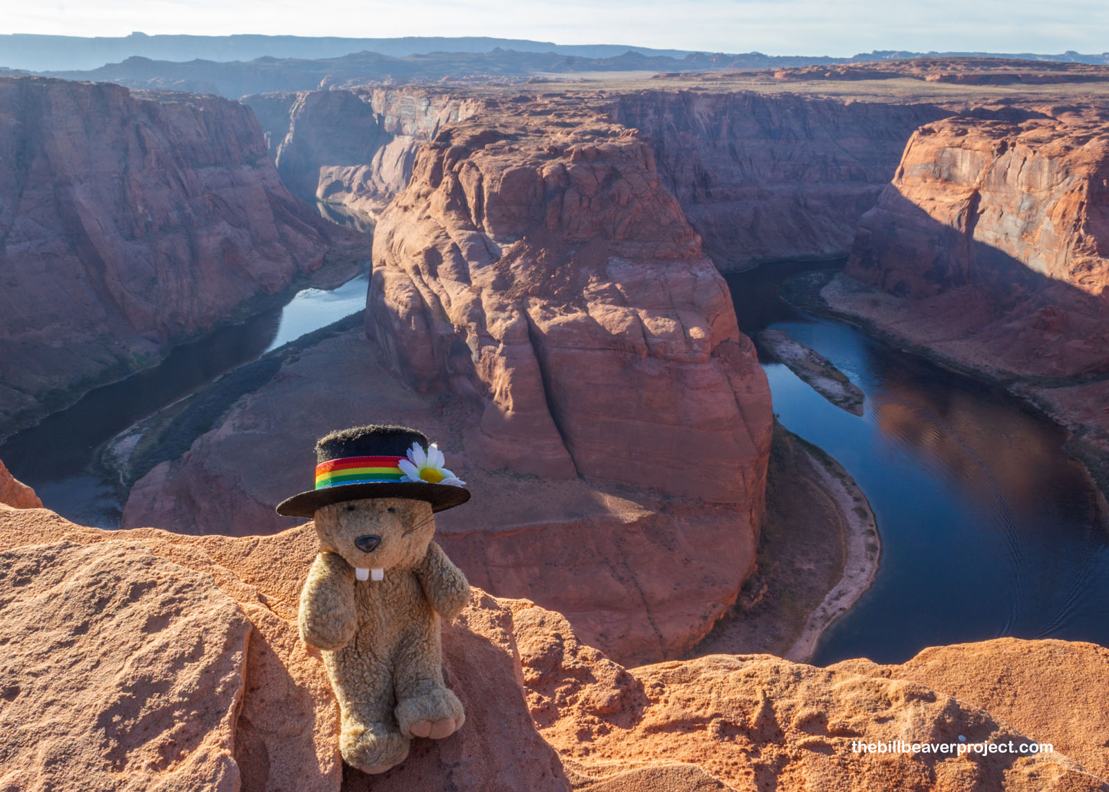
That, folks, is Horseshoe Bend, a curving chasm carved up by the Colorado River! With no railing and dozens—maybe hundreds!—of photographers lining this cliff, I was amazed no one fell over, but I picked out my spot among them and took a deep breath to appreciate the majesty of it all. This was a quick trip, but it felt very satisfying having finally achieved it. This is a beautiful part of the country, and I think I’d like to come back here some day.
 |
First, though, I headed on back to Flagstaff, grabbed some Thai food, and stood outside the Amtrak station with my thumb out, not that I needed to. The rainbow of this adventure has arced, but I can already feel a new one brightening up like a pot of gold on the other side!
Wish me luck!

 Previous Day |
Total Ground Covered: 425.0 mi (683.9 km) |
 More 2023 Adventures |
