 Previous Day |
Owatonna, MN → Madison, WI → Owatonna, MN 522.0 mi (840.1 km) |
 Next Day |
Bear with me, everyone!
This morning, I was up and at ’em in Owatonna, bright and early as can be in order to reach today’s National Park destination, 152 miles to the east! Owatonna wasn’t on my radar before I planned this trip, but it was a much better jumping off point for two different national monuments on very opposite sides of the state! Today, I’m en route to see some more elaborate ancient mounds than even the ones from yesterday. These are preserved at Effigy Mounds National Monument!
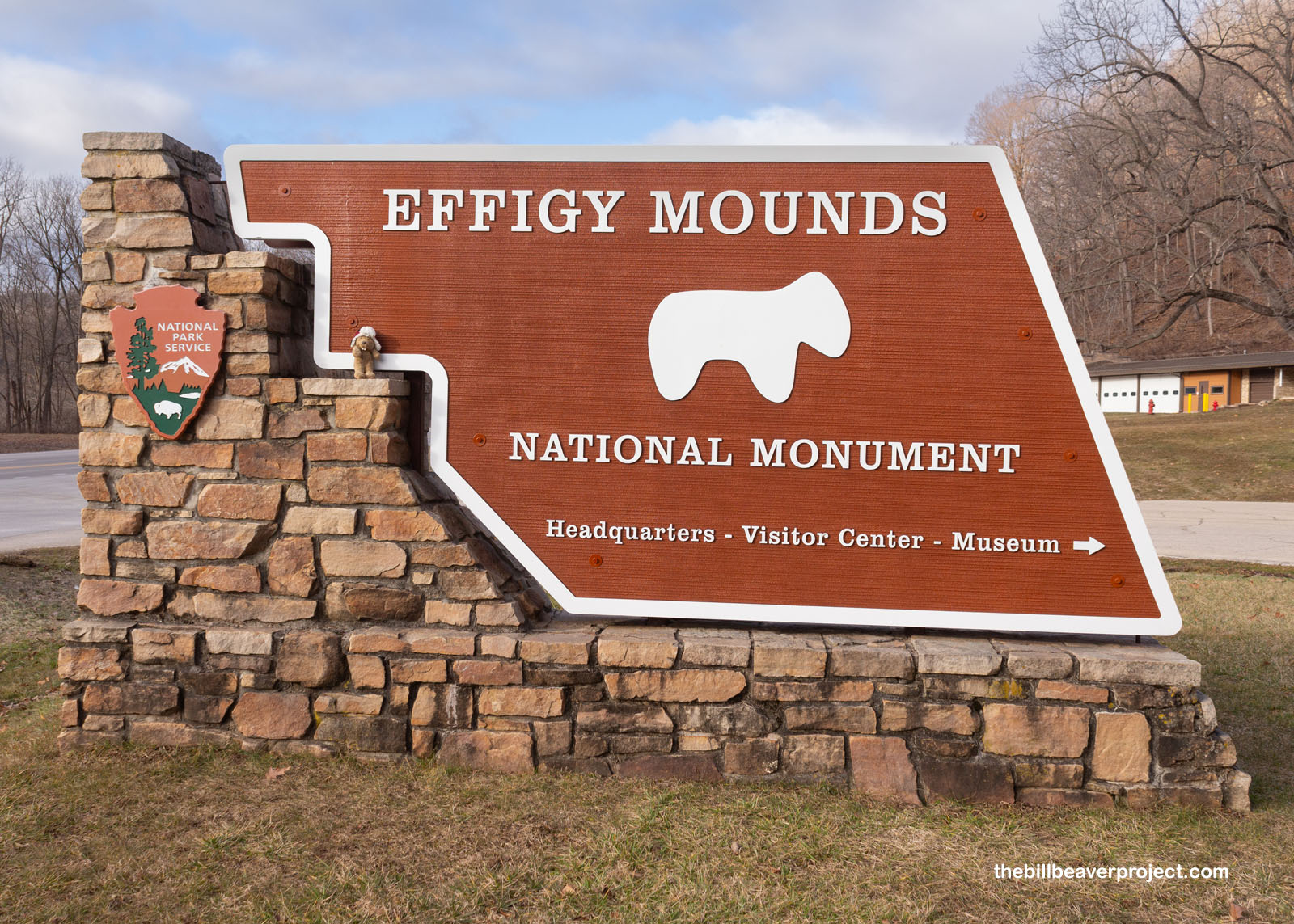 |
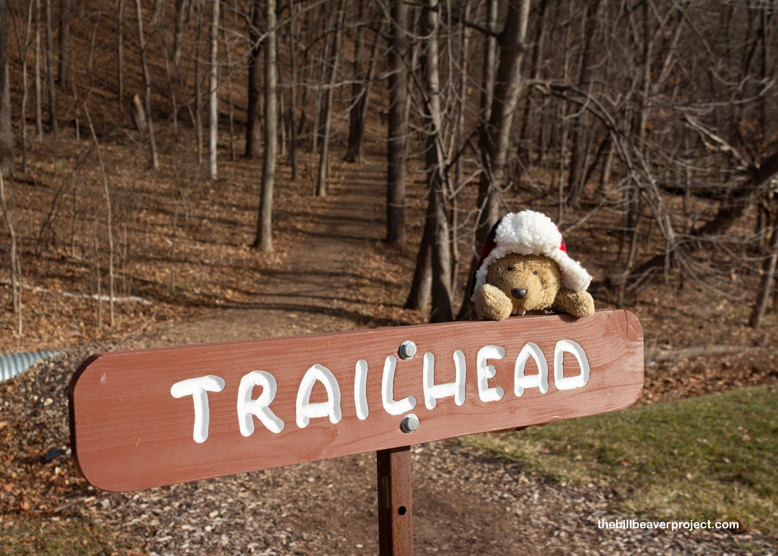
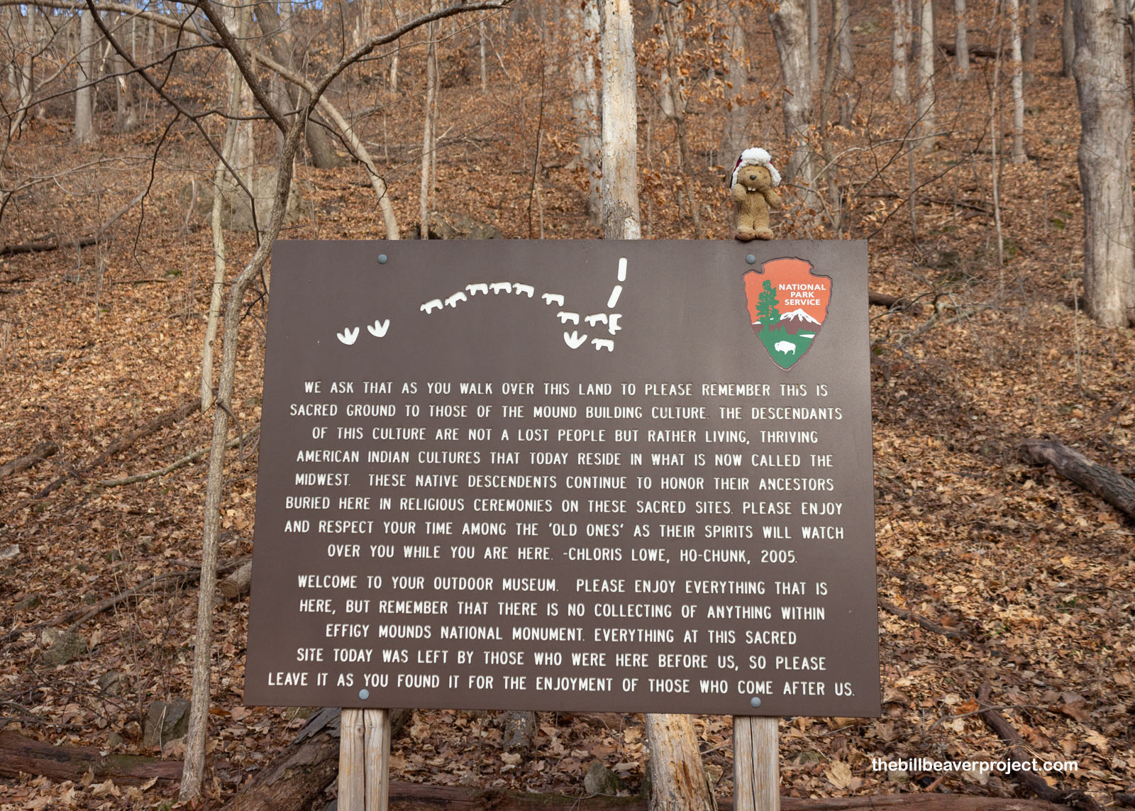
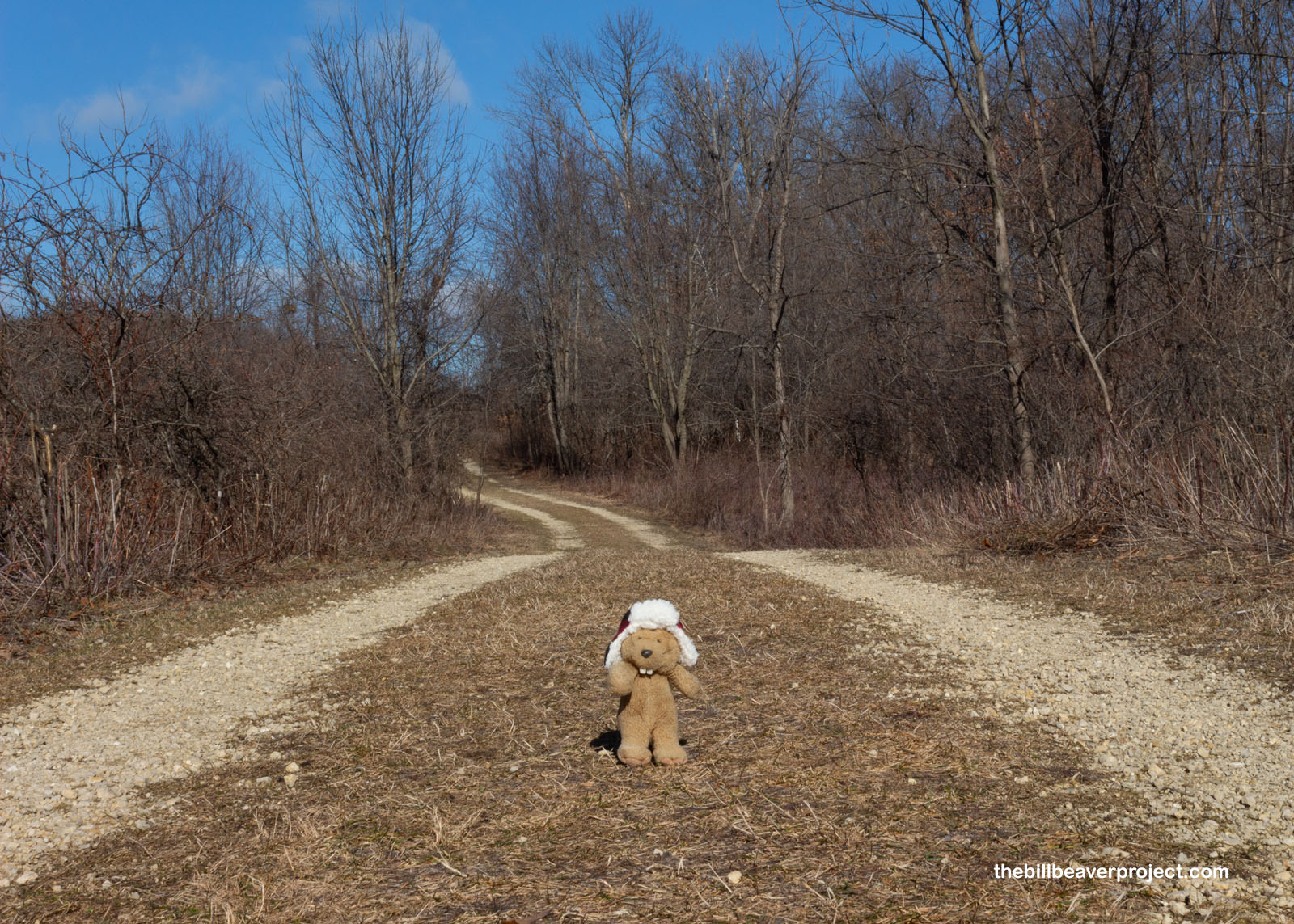
As many adventures do, this one started at a trailhead with an introduction to what I was about to see. Northeast Iowa and the bottom half of Wisconsin make up the Effigy Mound Region with over 10,000 known earth mounds shaped like bears, lizards, turtles and more! This area has one of the largest concentrations of these mounds, with 206 of them dating back to the Late Woodland period (roughly 500 BCE to 1100 CE), some for burial, some for ceremonies, all still sacred to their descendants, who now span twenty different tribes!
 |
 |
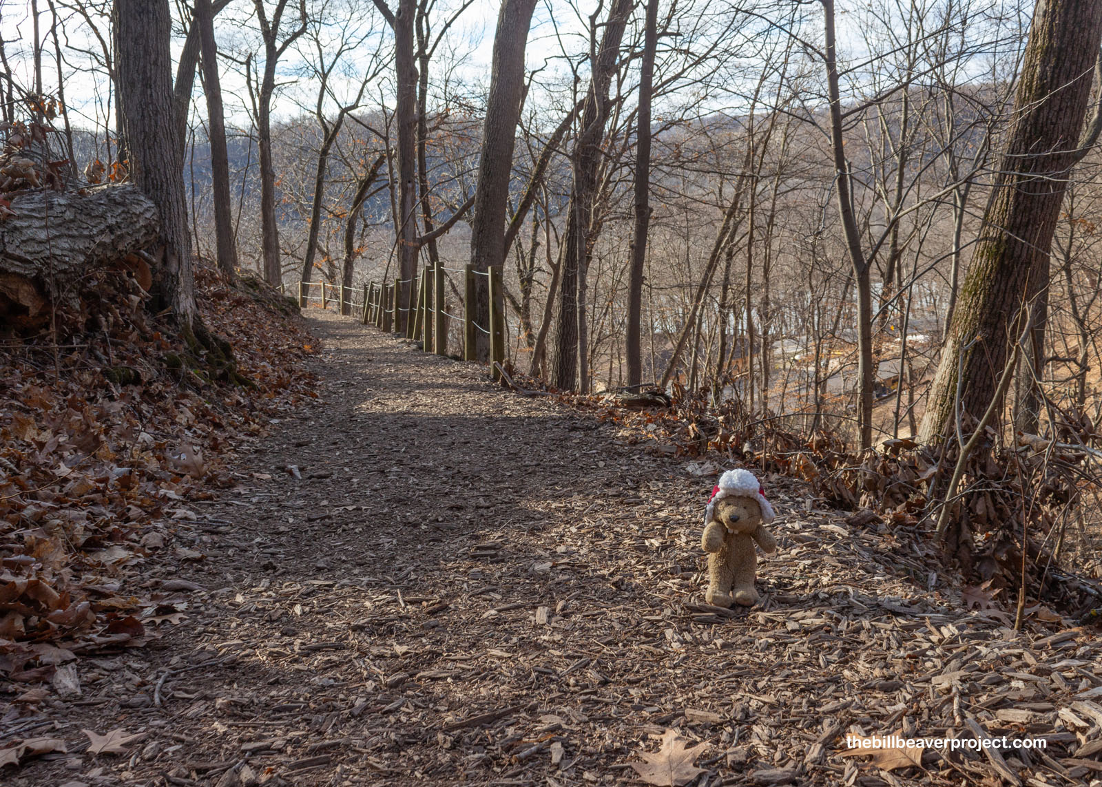
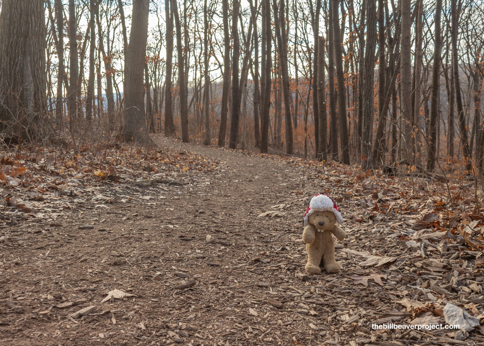
For February in Iowa, it sure could have been colder as I began my trek up the Fire Point Trail! With all the heat I built up making my way up the trail’s gentle switchbacks, and absolutely no snow anywhere to be seen, I felt like I was visiting in early autumn, not the dead of winter!
 |
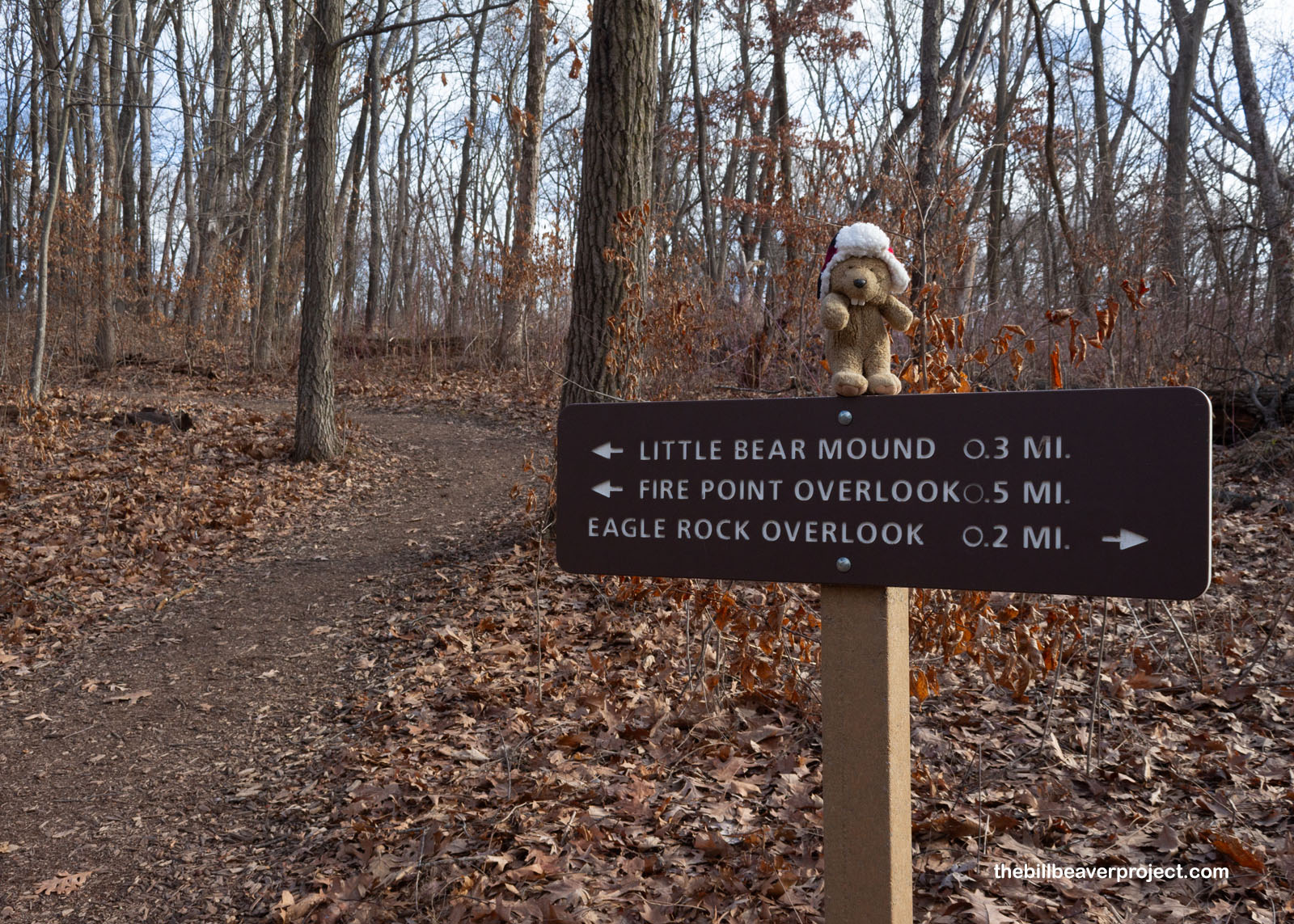 |
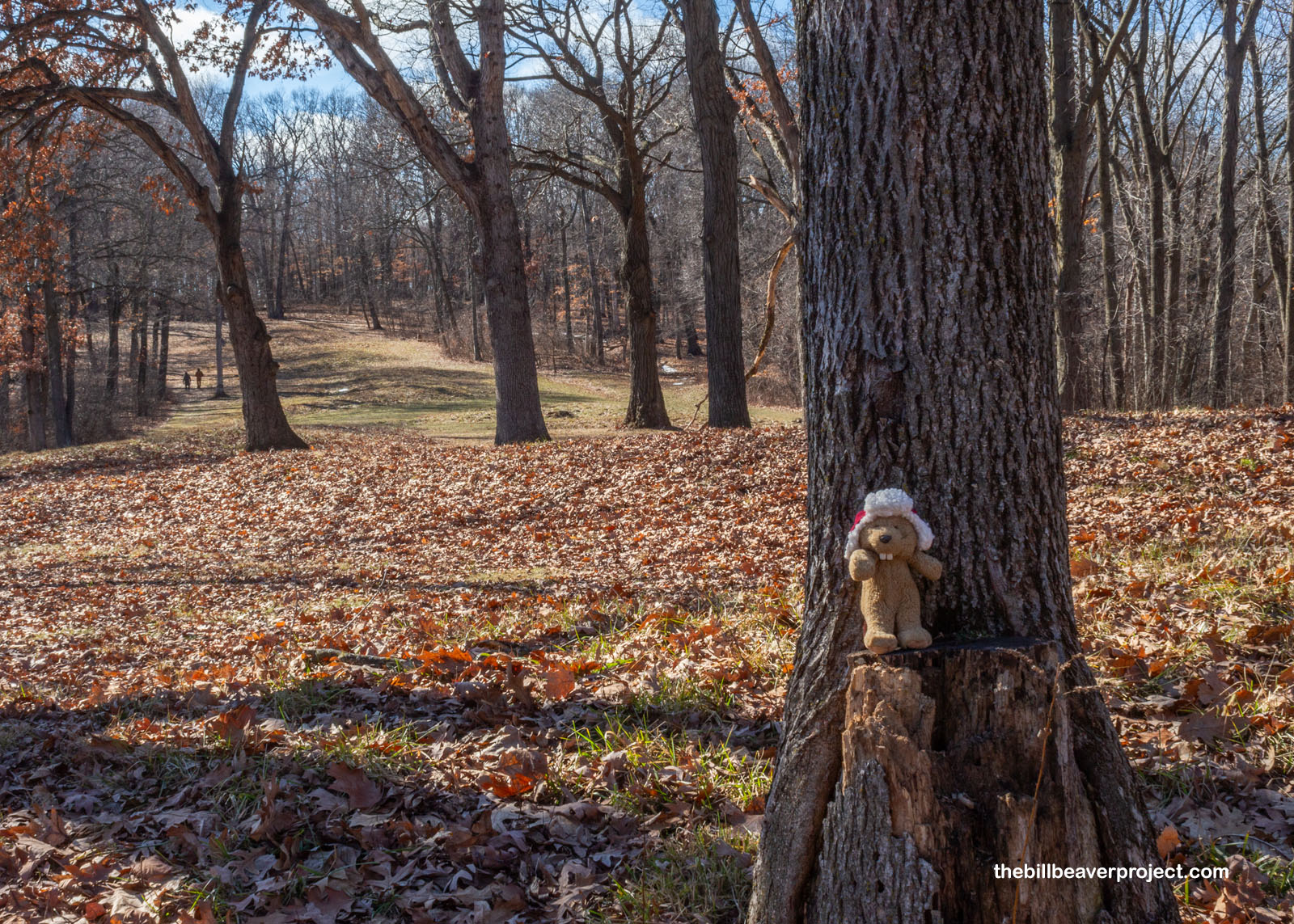
The trail wound its way through a forest of oaks and maples en route to two bear-shaped mounds: Little Bear Mound and Big Bear Mound. Most of the effigies in this monument are bear-shaped, probably because many ancient stories name Bear as guardian of the Earth! These stories were mostly ignored when Europeans arrived in the 1600s, hypothesizing that these mounds had been built by visitors from Europe, China, or the Middle East, and it wasn’t until 1880 that the Smithsonian finally put in writing what’s obvious today: the tribes in this area weren’t kidding when they said their ancestors built the mounds!
 |
 |
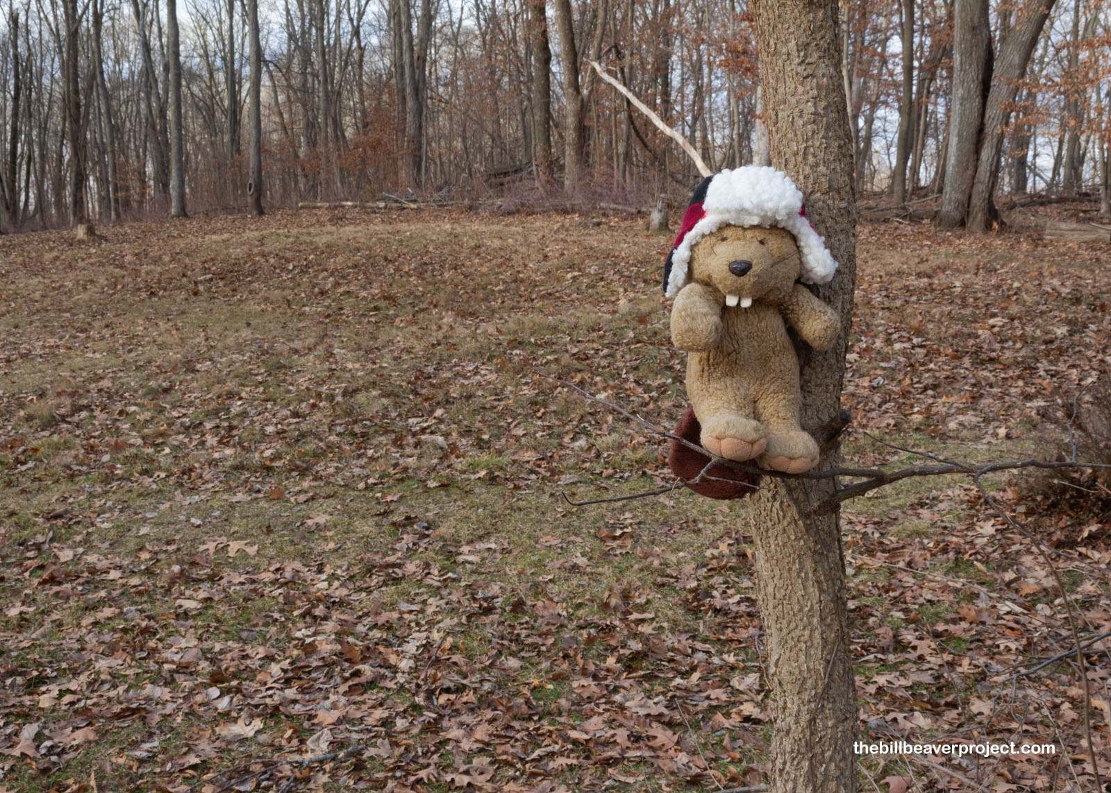
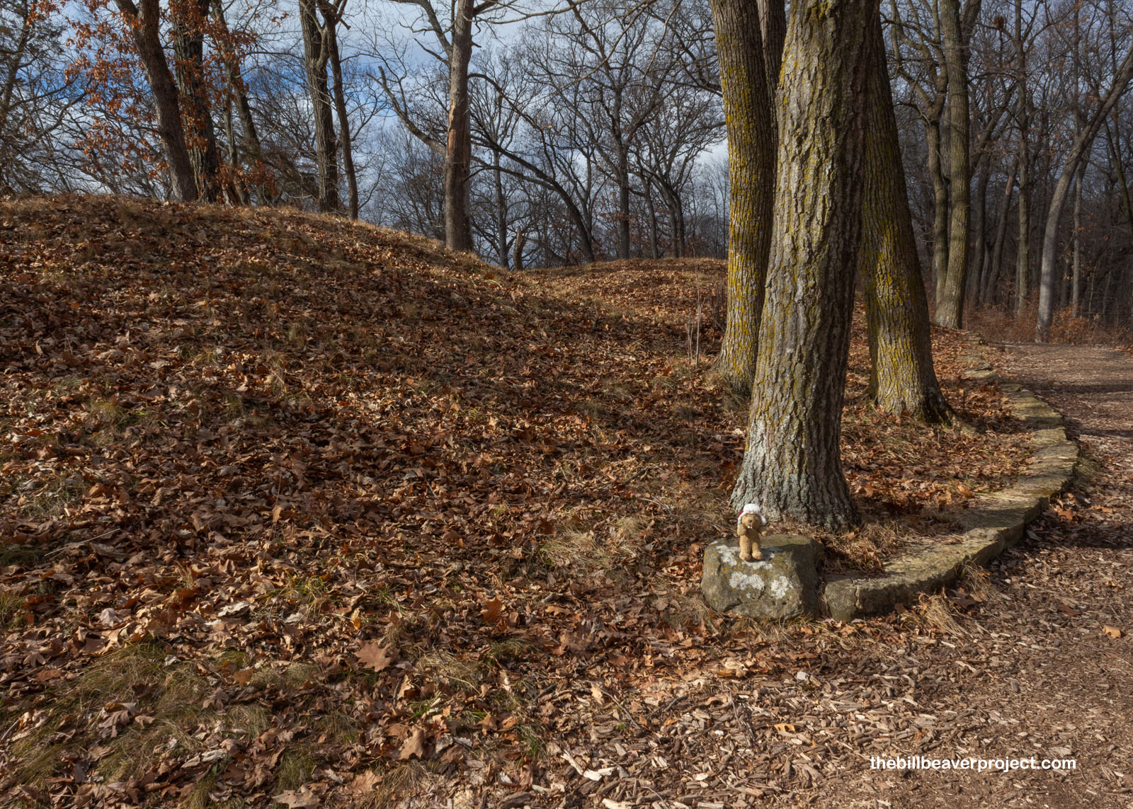
Anyway, of the two main mounds on the trail, I reached Little Bear first. In spring and summer, rangers cut the grass around the mounds to make them more visible, but at this level and this time of year, with all the leaves covering it, the mound was not showing up well in photos! This little bear was lying on its right side—the most common position for bear mounds—facing down the trail with its legs pointing to the trail. It could easily have been taken for a peaceful snooze unless viewed from above. By whom, you wonder? It’s hard to say, but maybe Bird (guardian of the Sky) or maybe the Star Nation ancestors I learned about yesterday!
 |
 |
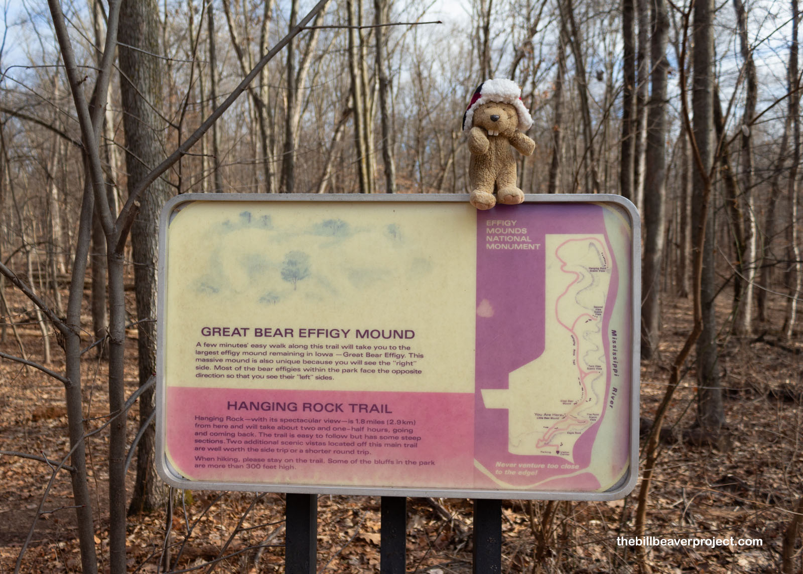
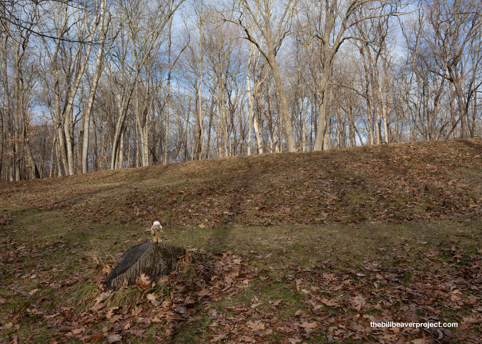
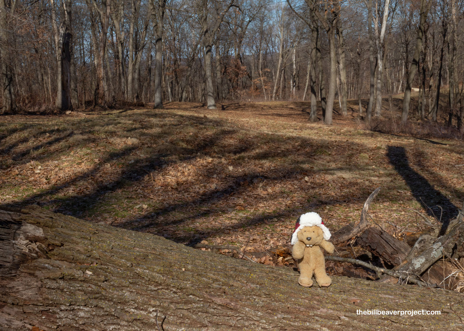
Great Bear Mound, not far from its little counterpart, was almost as hard to make out as well, even though it’s the park’s largest by a long shot! This bear mound is unusual, not only for its size (137 feet by 70 feet), but also because it’s lying on its left side, facing the trail. What’s in the photo is just the bear’s head and foreleg. It’s humongous!
 |
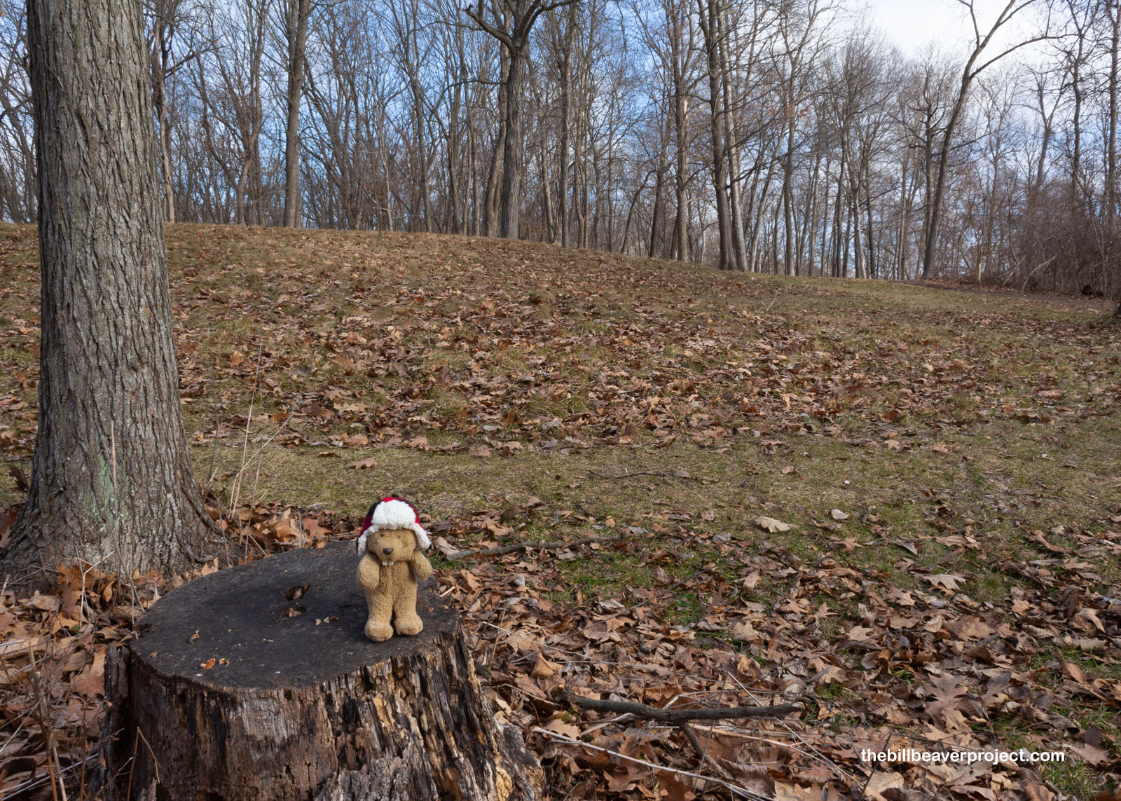 |
I broke off down the Fire Point loop, where I saw lots of other mounds in classic dome shapes. Many of these were designed for burials, based on the bones and copper artifacts found inside them when folks like Ellison and Fred Orr started excavating them in the 1930s. Sadly, this old burial ground was also plundered by grave robbers over the years, so a lot of information about them has been lost forever!
 |
 |
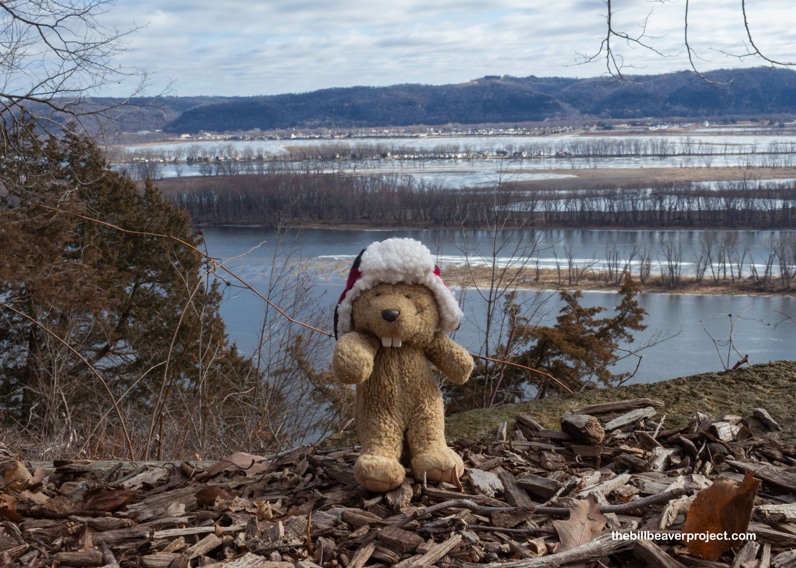
At the end of the loop was the Fire Point lookout, certainly not the most fiery at this time of year! From here, I could see out across the mighty Mississippi River into the snowy state of Wisconsin! It looked super cold over there, even though it was less than a mile away on the exact same day, but it was also super pretty! I’d been on the fence about crossing that state line on this trip—literally!—but if I could get to the Marching Bears and back fast enough, I might have just enough time to set foot in the Badger State! I hustled back down the Fire Point trail and made my way to the park’s South Unit!
 |
 |
The Marching Bear trail was going to be just that: a march! At two miles each way, it was right on that awkward line between too much time and not enough. All I could decide in the moment was that I was here, I wanted to see the bears, and so I headed up the trail!
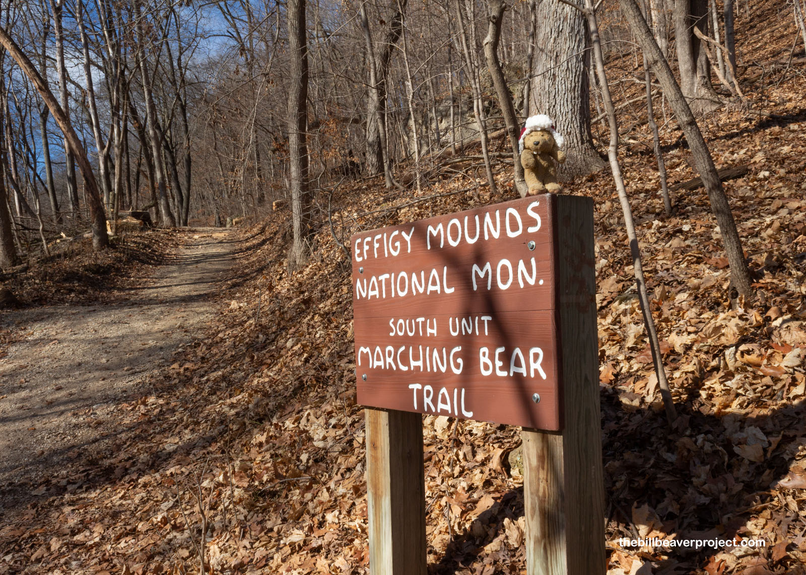 |
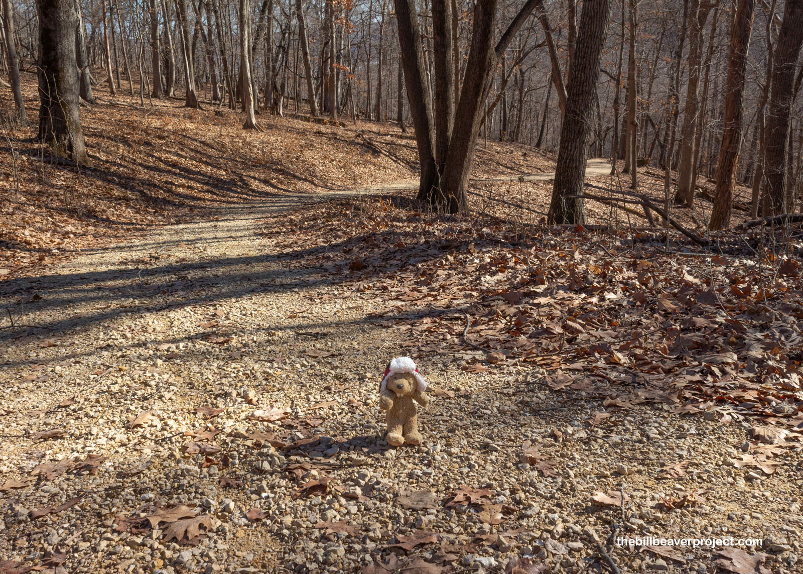
The trail was more of a road than an actual trail, gently rising up through the woods and getting downright toasty toward the top of the slope! I’d started the day with fall, looked across the river to winter, and now felt like spring was turning to summer! Maybe it was because I was hustling so much in my very warm hat!
 |
 |
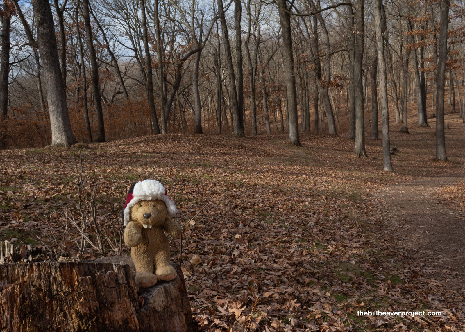
At the end of the trail, the long row of marching bears stretched off uphill! There are 15 mounds in this group, 10 of which are bears in a long nose-to-derrier train, accompanied by three birds and two oblong mounds! A cluster of effigy mounds this big is exceptionally rare! Sadly, it was still hard to make out their shapes in the photos, but these bears were all lying on their right sides with their heads facing uphill!
 |
I walked along the train of mounds, wondering if there were folks buried inside, and if so, what their names might have been, what they might have thought about this strange new world if, by some magic, they could emerge from the ground and get a good look! Maybe the Earth Bear is guarding their secrets, even if it couldn’t protect most mounds across the country. It was well worth the stroll to see these Marching Bears, but I think it would have been even better in the spring when the grass was green and the mounds groomed for viewing!
 |
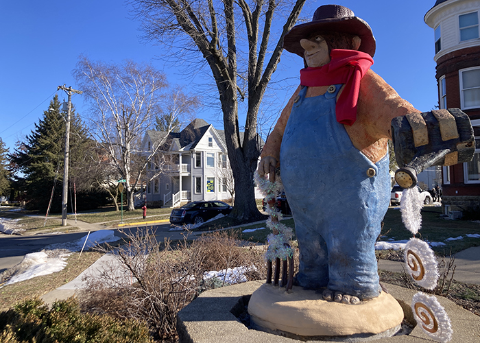
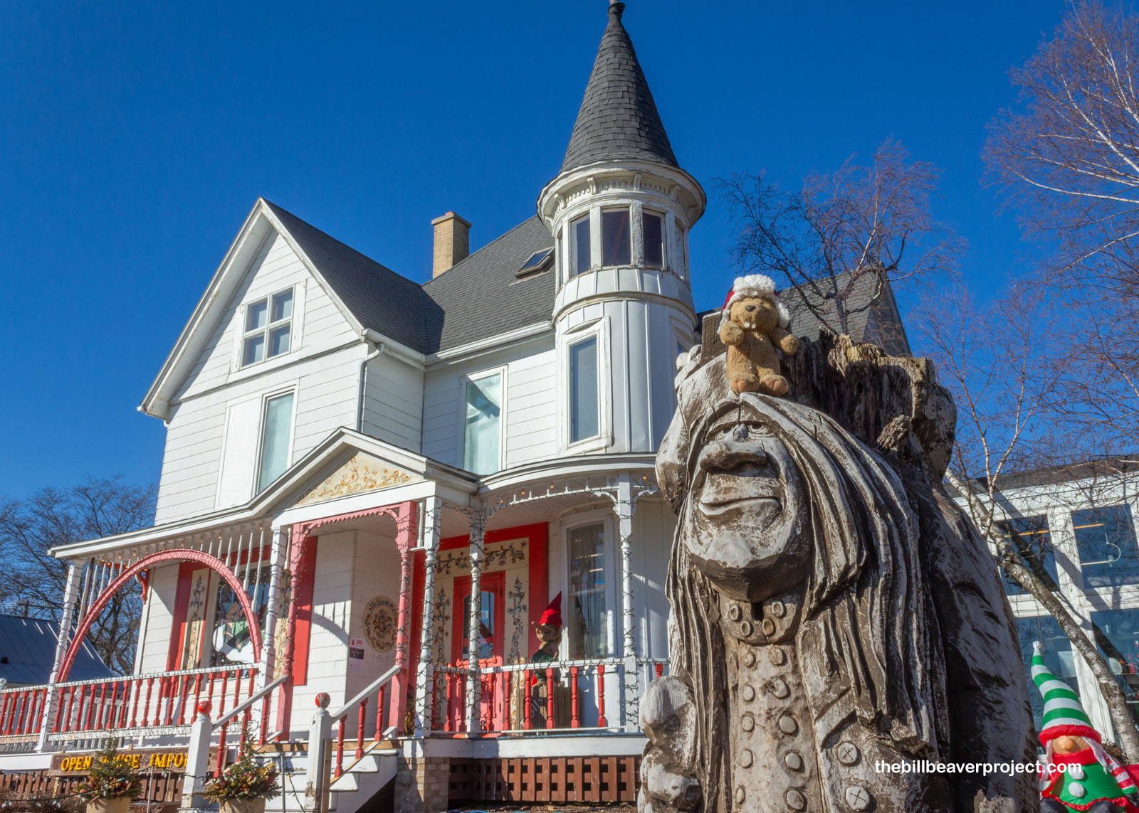
I got back to the trailhead with enough time to extend my journey into Wisconsin, though I wasn’t going to have a ton of time before sunset! I figured I’d visit the capital of the Badger State by way of the Capital of Trolls! Yes folks, Mount Horeb, Wisconsin is widely known to be the Troll Capital of the World!
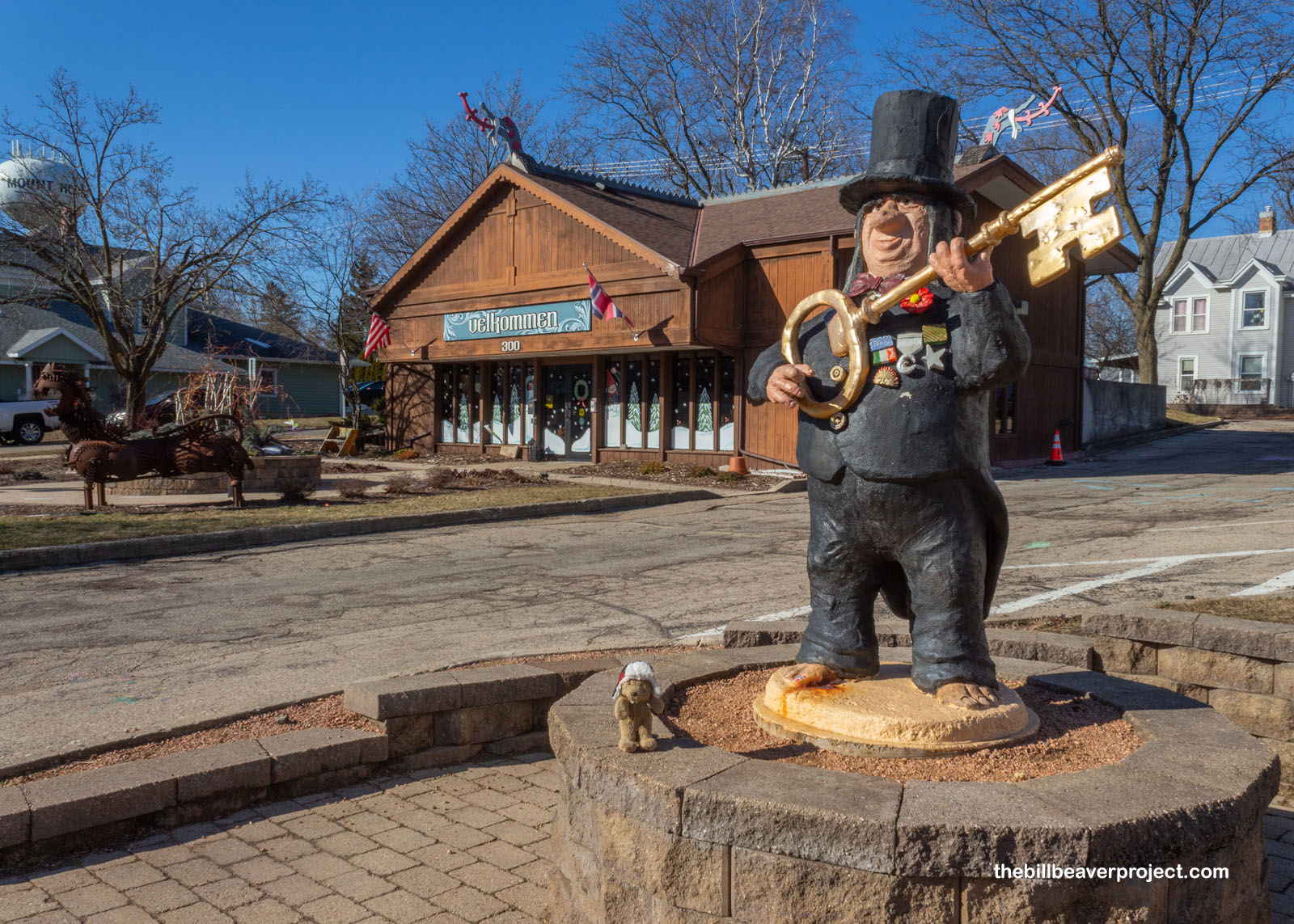 |
How the heck did that happen when we all know trolls are native to Scandinavia? Well, it happened in much the same way as South Dakota’s Wall Drug became a must-visit destination. The town’s first trolls were placed outside this shop, Open House Imports, in the 1970s, and truckers who were passing by really took a liking to them!
 |
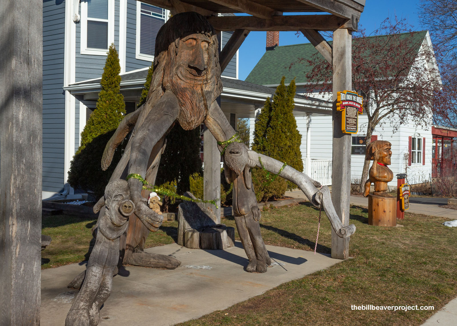
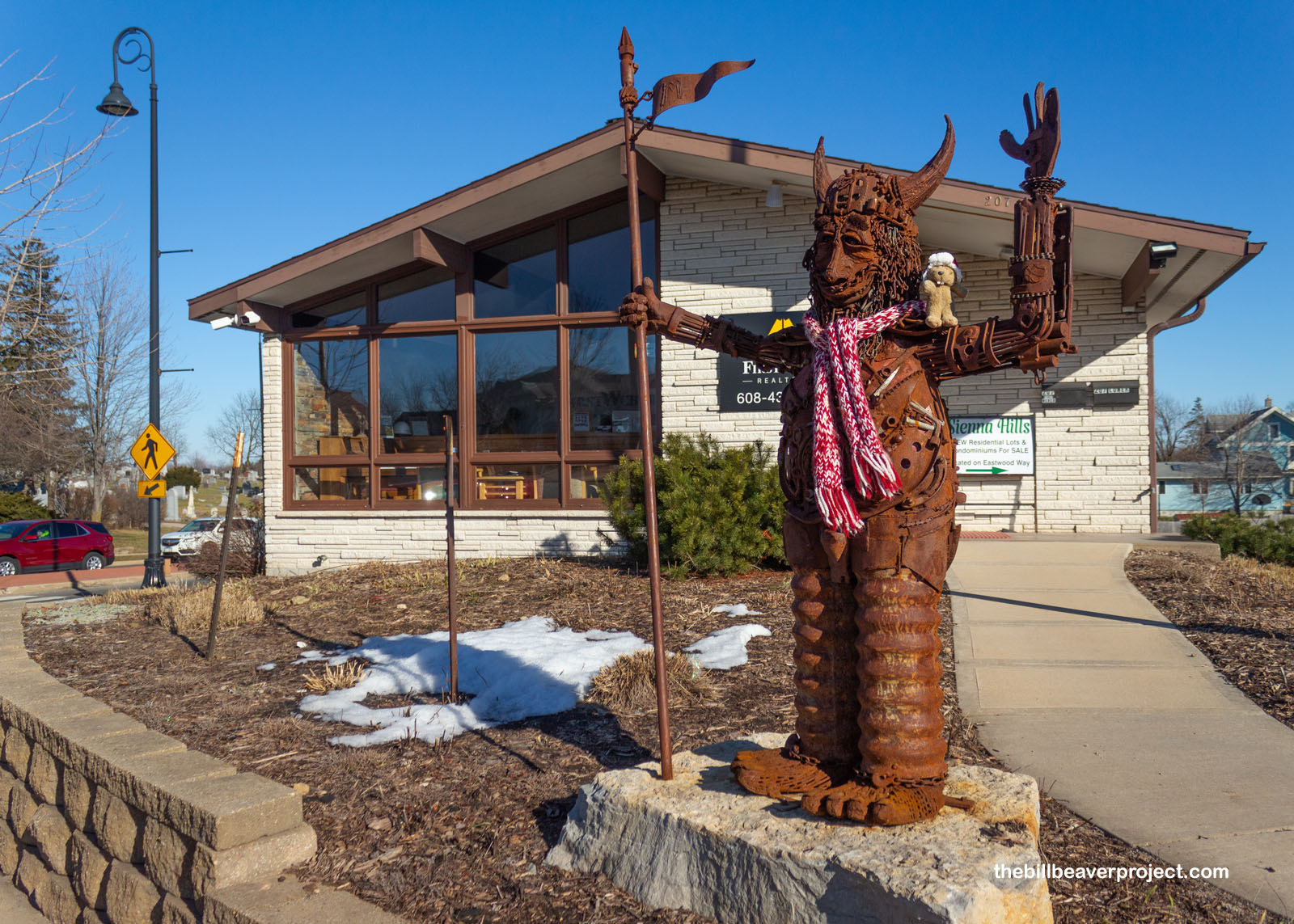
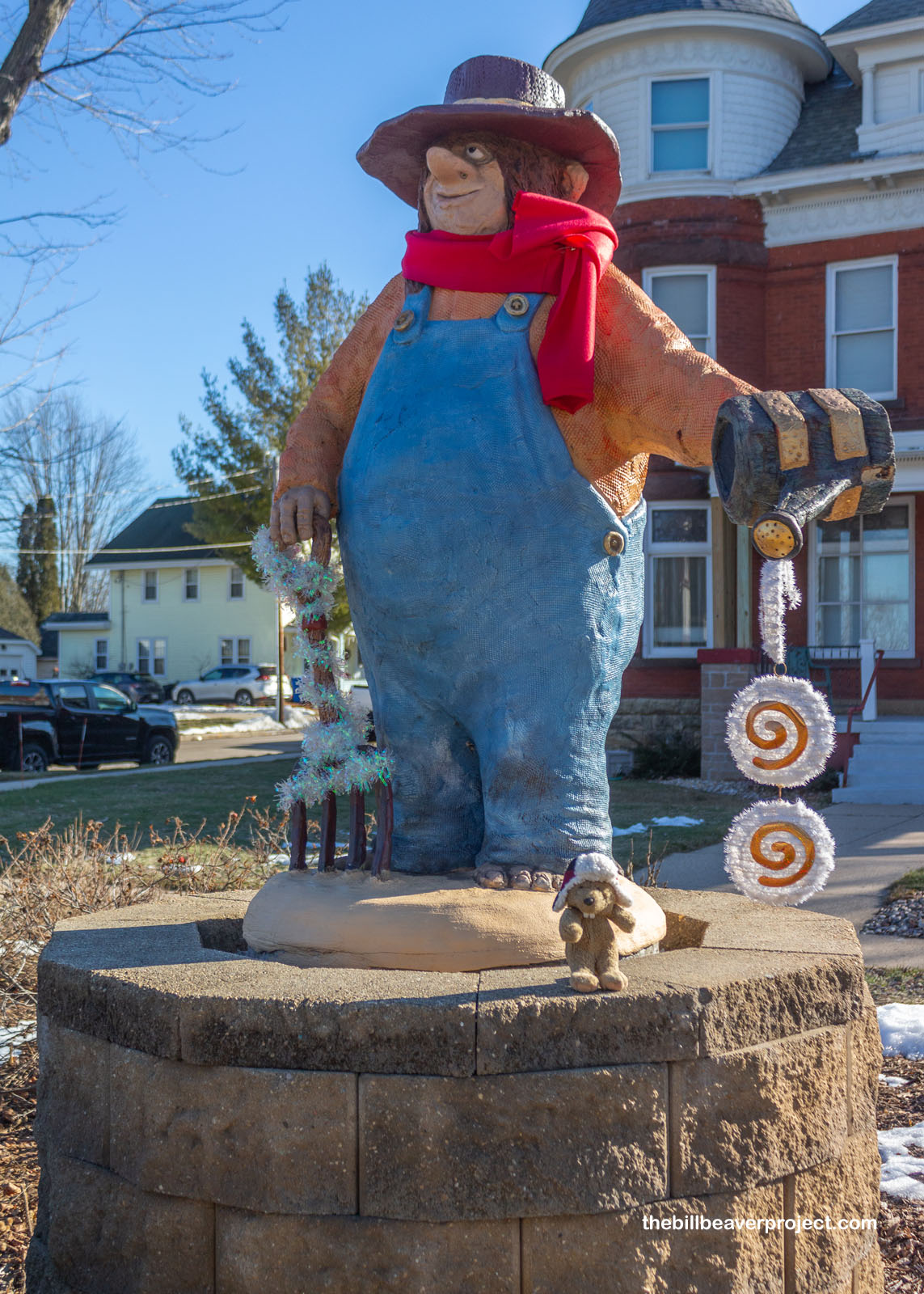
A decade later, a new Highway 18/151 bypass started directing those truckers around Mount Horeb, but the love of trolls persisted! Rather than sit by and watch their town wither away, folks got to work using troll power to put Mount Horeb back on the map! Carver, Michael Feeney, led their creation, carving trolls to be placed all around town, so many that this bypass road came to be known as the Mount Horeb Trollway! Today, Mount Horeb is home to 36 trolls, like Sugar Troll, Troll under the Bridge, and Ragnar the Rusty!
 |
 |
I strolled the Trollway at both the best and worst possible time, because today, folks were celebrating their annual Scandihoovian Winter Festival, strolling about in red, cone-shaped caps like Scandinavian little folk (nisse in Norway and Denmark and tomte in Sweden)! While these creatures technically aren’t trolls, that didn’t stop folks from enjoying a midwinter’s activities, like a spelling bee for adults, broom ball on Stewart Lake, and frozen turkey bowling at the local skating rink! I should have blocked off a full weekend for that, but this was a split-second dip into Wisconsin, and I still had to see my 46th capitol building!
 |
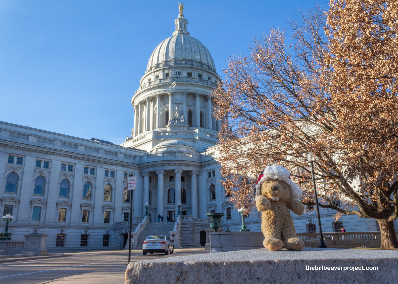
I pulled in to Madison, Wisconsin just in time to catch some lovely lighting on the capitol’s stunning Vermont granite dome! The Wisconsin capitol building is the only one in the country with a granite dome, and in fact, the dome itself is the largest by volume out of all fifty! Like most capitols, this one came to be after its predecessors burned to the ground! The architects were George B. Post & Sons, and on top stands a gilded bronze statue of “Wisconsin” holding a globe and a badger, designed by Daniel Chester French of Lincoln Memorial fame!
 |
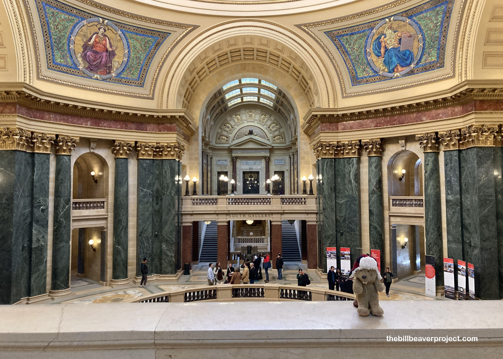
Inside the rotunda really gave a sense of scope and scale with dazzling colors from the stone work to the four ornate mosaics by Kenyon Cox, which represented Legislation, Government, Justice, and Liberty, but to me made the space feel more at home in Istanbul! And of course, I couldn’t miss the badger sculptures on the walls at each of the cardinal directions! Wisconsin became the Badger State because of its lead mining industry. Lead miners were so poor that they often lived in the mines they worked, so non-miners teased them by calling them badgers! The name really stuck!
 |
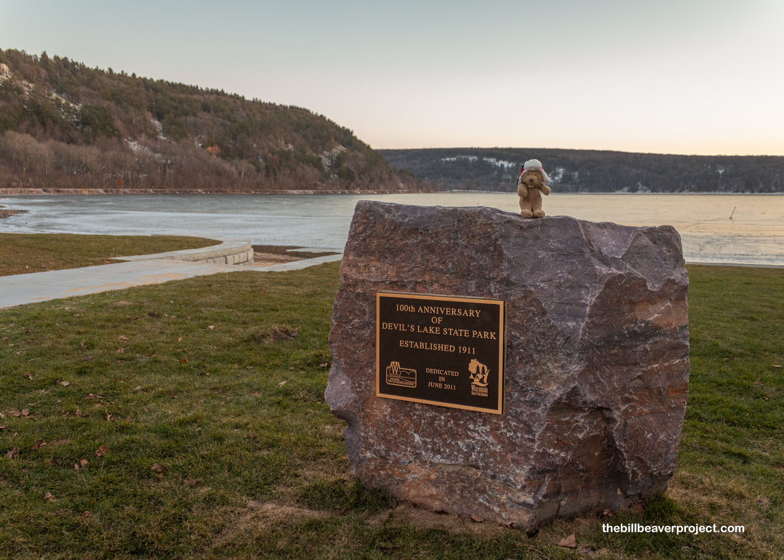
Even though it had not felt like February for most of the day, the short daylight hours still reminded me that it was winter. The sun was going to set soon, but I wanted to visit one more unique spot in southern Wisconsin. While the Badger State is famously home to the Apostle Islands National Lakeshore, it has no National Parks or Monuments! The closest I was going to get on this trip was a peek into one of the many spots along the Ice Age National Scenic Trail, which stretches 1,200 miles along the edge of an ancient glacier! The place where I planned to spend the last hour of daylight was Devil’s Lake State Park!
 |
Like lots of places on my travels, I should have planned to spend a whole day at Devil’s Lake. It’s Wisconsin’s largest state park after all, and since 1911, it’s been open for picnics, water sports, and hiking to super unique quartzite rock formations! But I only had an hour before dark, so I was going to see what I was going to see.
 |
After a day of no snow, this was the perfect spot to imagine being back in the Ice Age, when glaciers sculpted a third of the planet’s land mass! In Wisconsin, the glaciers left behind rock formations like the 120-mile long Kettle Moraine, a group of ridges that gave scientists in the 1870s their very first idea of how covered in ice North America had once been! Today, the Ice Age Scenic Trail spans 10,000 year old glacial deposits all the way back to the mylonite outcroppings of Marathon County, a staggering 1.8 billion years young! Here in the Baraboo Hills, the quartzite is a fresher 1.6 billion years in age!
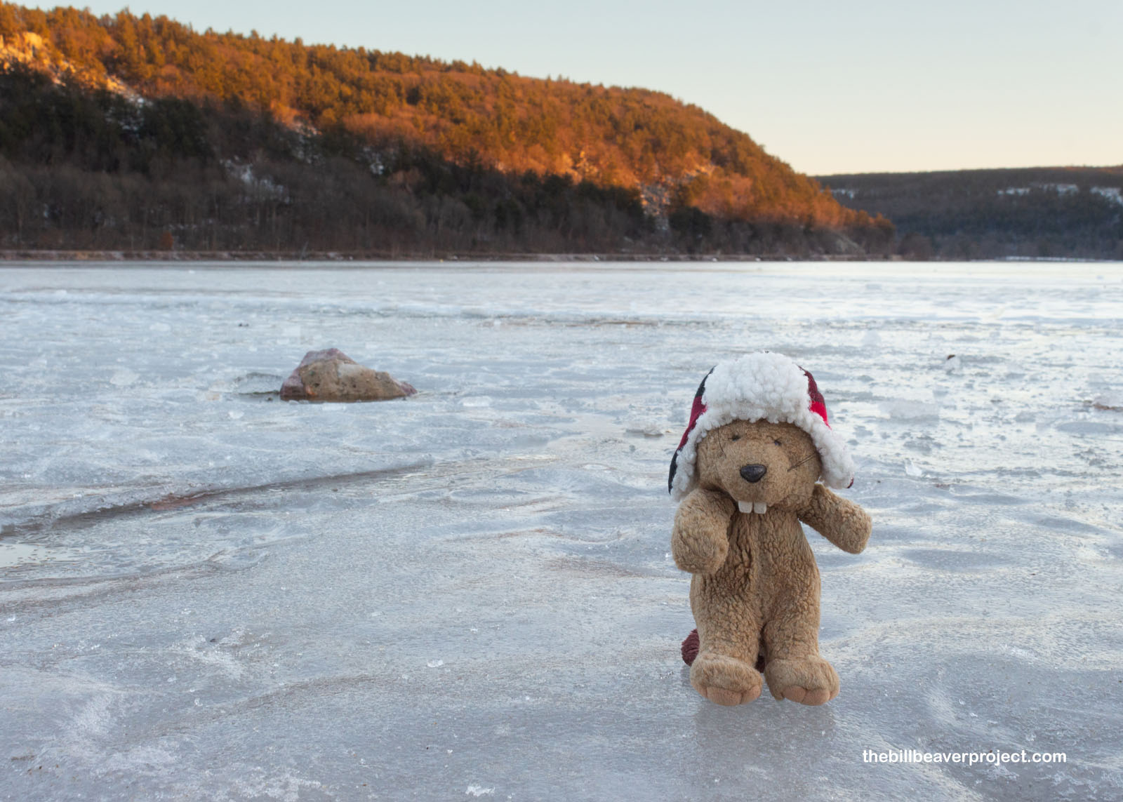 |
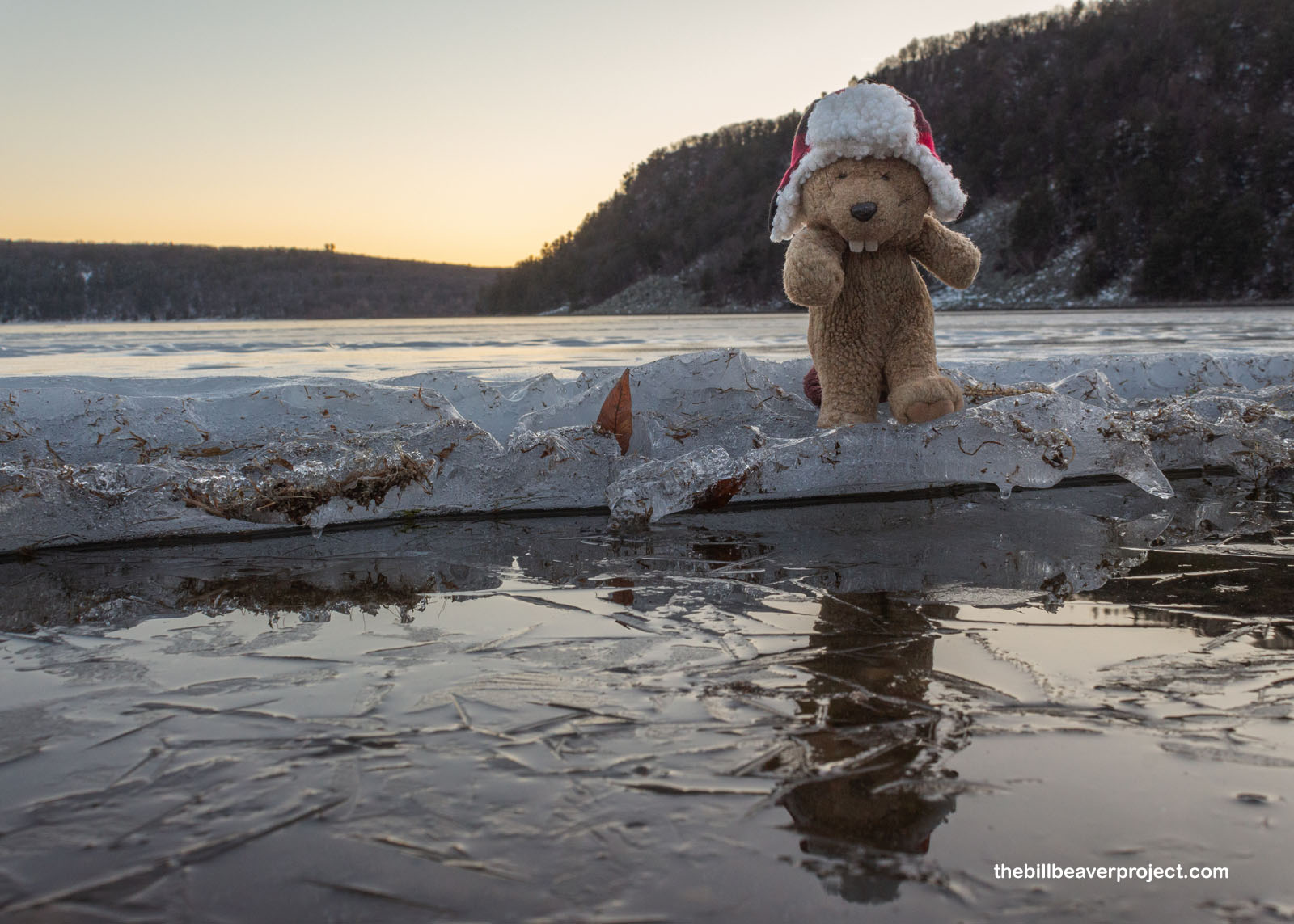
While I was walking around on the ice, trying not to slip, I realized I hadn’t walked on ice since Antarctica, almost nine years ago! Maybe I’ve just been skittish, maybe I’ve been safe, or maybe there just hasn’t been as much ice around these days! We’re a far cry from the Ice Age in this day and age, and I’ve already glimpsed what’s around the corner with climate change. I think this was a good stop where I could enjoy a taste of what was while wondering about what is to come. But then I popped back to what is and realized I had a whole ice skating rink to enjoy before sunset! So I whizzed about Devil’s Lake to my heart’s content as the sun set over a full day of adventure!
 |
It was a long, dark drive back to Owatonna, but I sure was excited to have covered so much ground and seen so many places I hadn’t originally planned to see! Tomorrow will be a little less manic, but only a little, as I’ll be traveling in the opposite direction to see my second national monument that’s deeply important to Native heritage!
Ice to know ya!

Previous Day |
Total Ground Covered: 730.0 mi (1,013.9 km) |
Next Day |