 More 2024 Adventures |
Seattle, WA → Longmire, WA → Seattle, WA 218.0 mi (350.8 km) |
 More 2024 Adventures |
The mountain’s Nisqualling me, everyone!
As my national park quest closes in on its final twenty units, my remaining adventures are getting more far-flung and compact! No matter, I’m back on this side of the Canadian border, and I’m ready to explore Washington State’s most iconic mountain, Tahoma, the centerpiece of Mount Rainier National Park!
 |
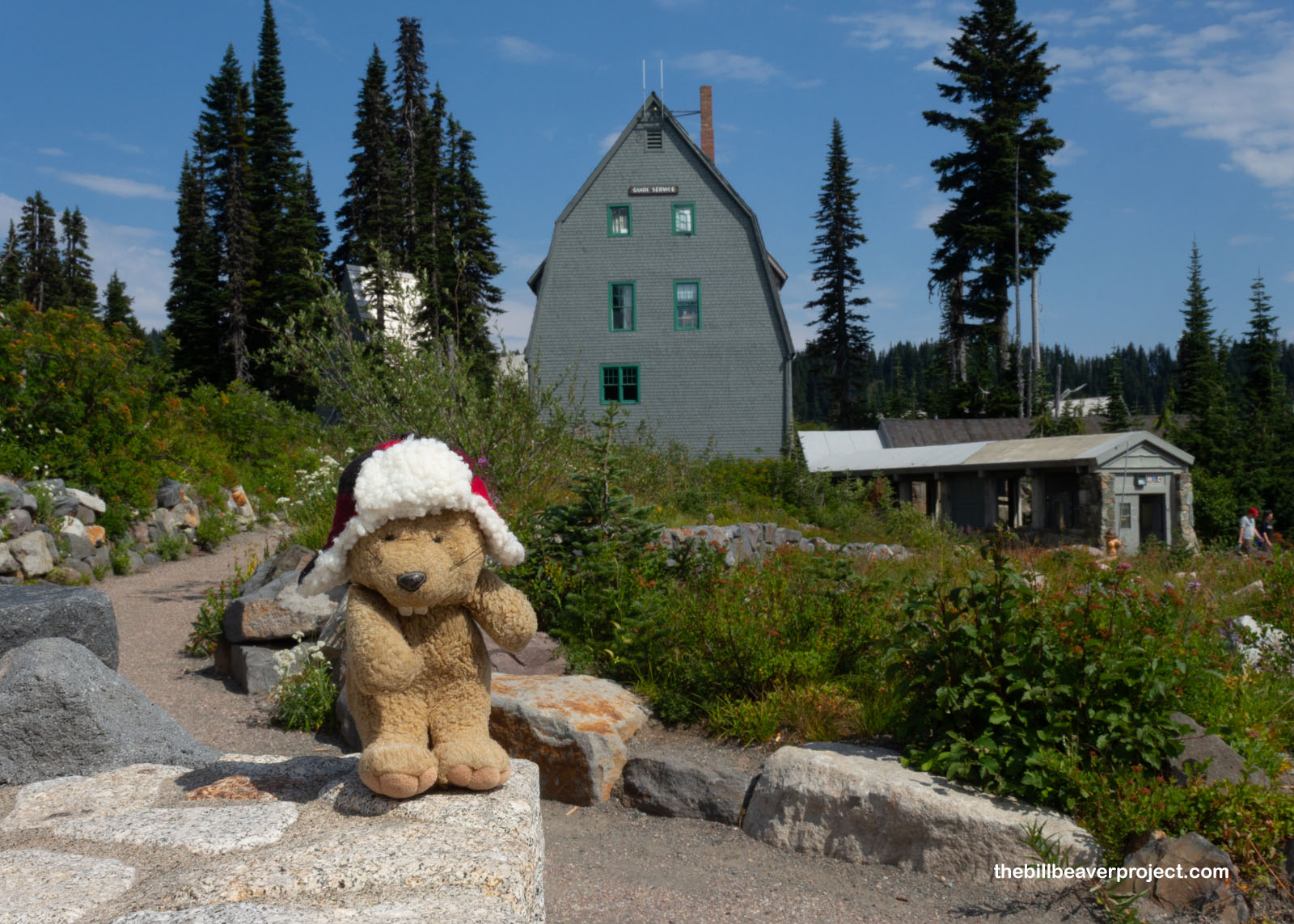
This park’s most popular jumping-off point for exploring is fittingly called Paradise, but the National Park Service’s timed entry system made getting into the park by 1:00 PM an hour-long Purgatory! Anyway, once through the mile-long line, coasting into Paradise was pretty scenic. Its historic buildings, like the 1920 Guide Service Building for housing mountain climbing guides, all make up the Nationally Registered Paradise Historic District! After Mount Rainier became the fourth national park in the USA, March 2, 1899, the Rainier National Park Company got to work building visitor facilities. Uniquely, they built this village from trees that had burned in a wildfire in 1885 and fine tuned everything through the Mission 66 program, celebrating the centennial of the National Park Service in 1966!
 |
To actually summit Tahoma would have required a lot of extra steps. After all, it’s the most heavily glaciated mountain in the contiguous USA, and it takes 10 miles with a 9,000-foot elevation gain up ice fields to get there. It’s difficult and dangerous! Because of that, aspiring climbers need to pay an Annual Climbing Fee, and pick up a Climbing Permit in person, and, if heading up solo, obtain a separate Solo Climbing Permit! I opted instead for the Skyline Trail, which was going to get up close to the mountain for some excellent views!
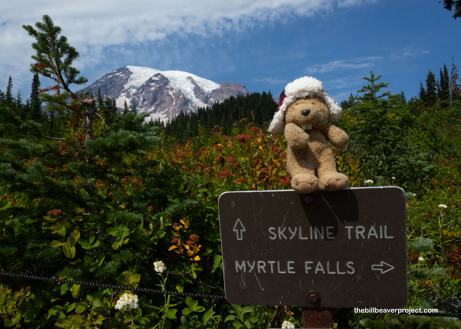 |
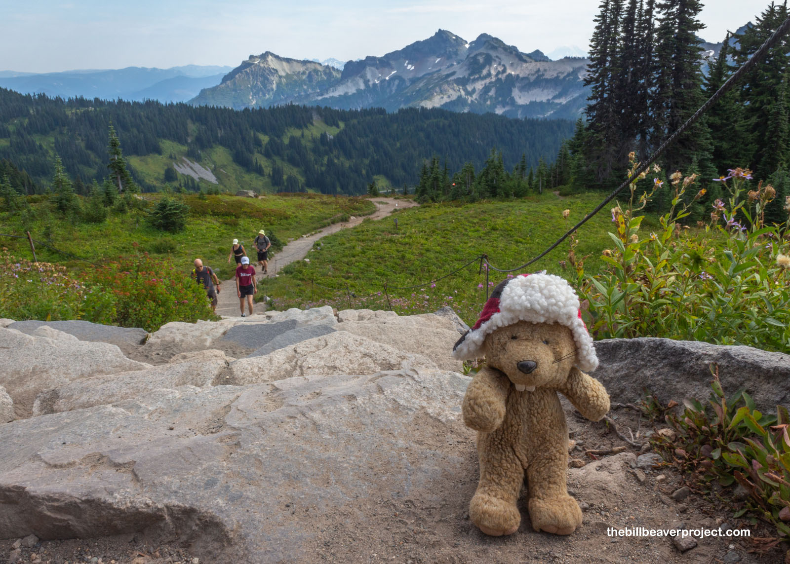
Whew! This trail may not have been a glacial scramble, but it was no slouch either! It began as a super steep, paved incline then turned into a web of dirt trails rising ever upward through brilliant green meadows of wildflowers and backed by views of the craggy Tatoosh Range! On a hot, sunny afternoon like this one—I didn’t realize it got this hot and sunny here—I sure was feeling the climb.
 |
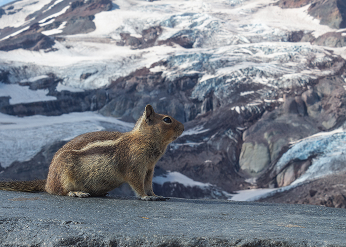
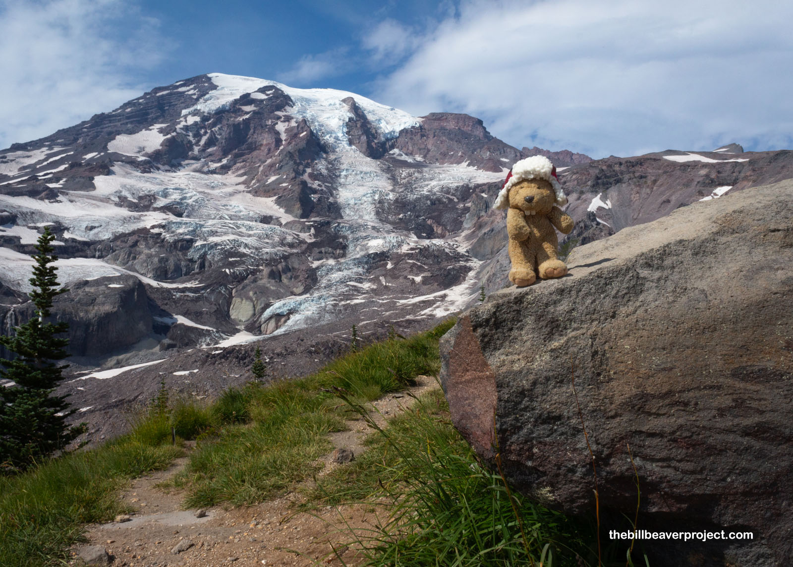
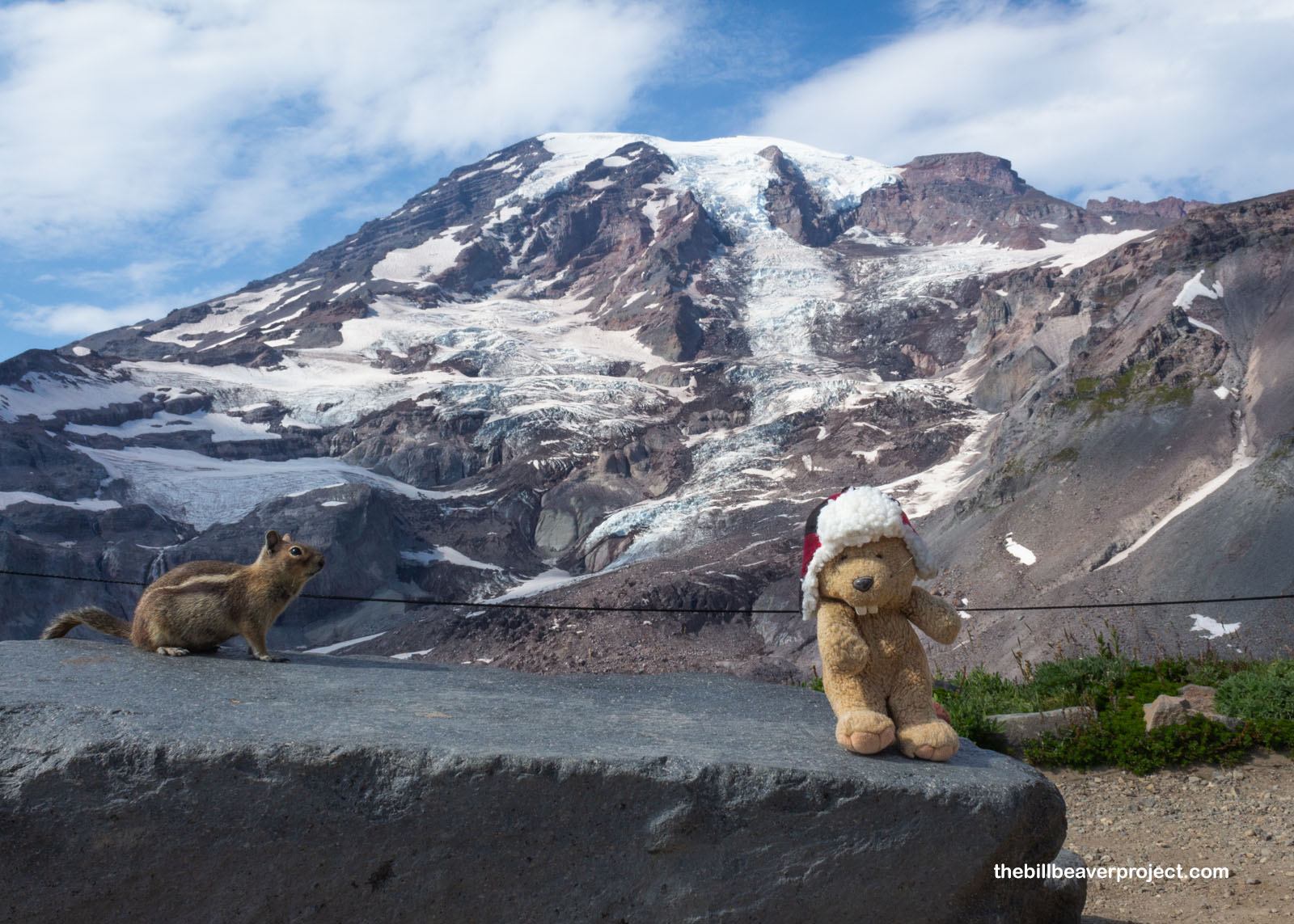
Unlike most of the national parks I visited this year, which were more wilderness than showpiece, this whole park revolves around this singular mountain! There were spectacular views the whole way up the trail, with the first unobstructed ones coming up just over a mile in, where the Skyline Trail met the Glacier Vista Trail. And what a glacier vista! The Nisqually Glacier stretches all the way down from the summit, where its meltwater becomes the Nisqually River and flows 81 miles to Puget Sound! “What are you standing around gawking for?” cried a local Ni-squirrely. “Daylight’s a wastin’!”
 |
 |
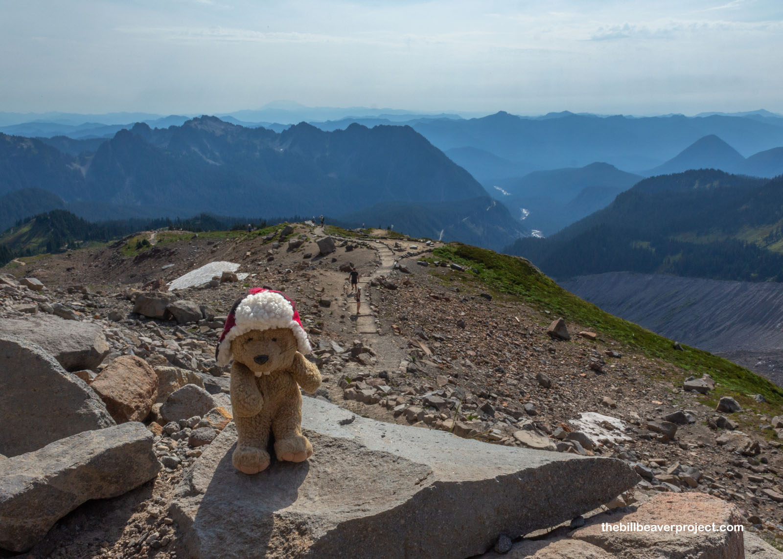
And sure enough, it was! It’s super unusual for me to start on a trail this late. I haven’t been stuck on a slope in the dark since at least 2017. By now, I should have learned my lesson. Anyway, the Skyline Trail became the High Skyline Trail, a steady curve overlooking the valley carved by the Nisqually River. I trekked up past the appropriately named Panorama Point with more great views of the Tatoosh Range and Unicorn Peak, and up even farther, past the most remote rock restroom I’d ever seen!
 |
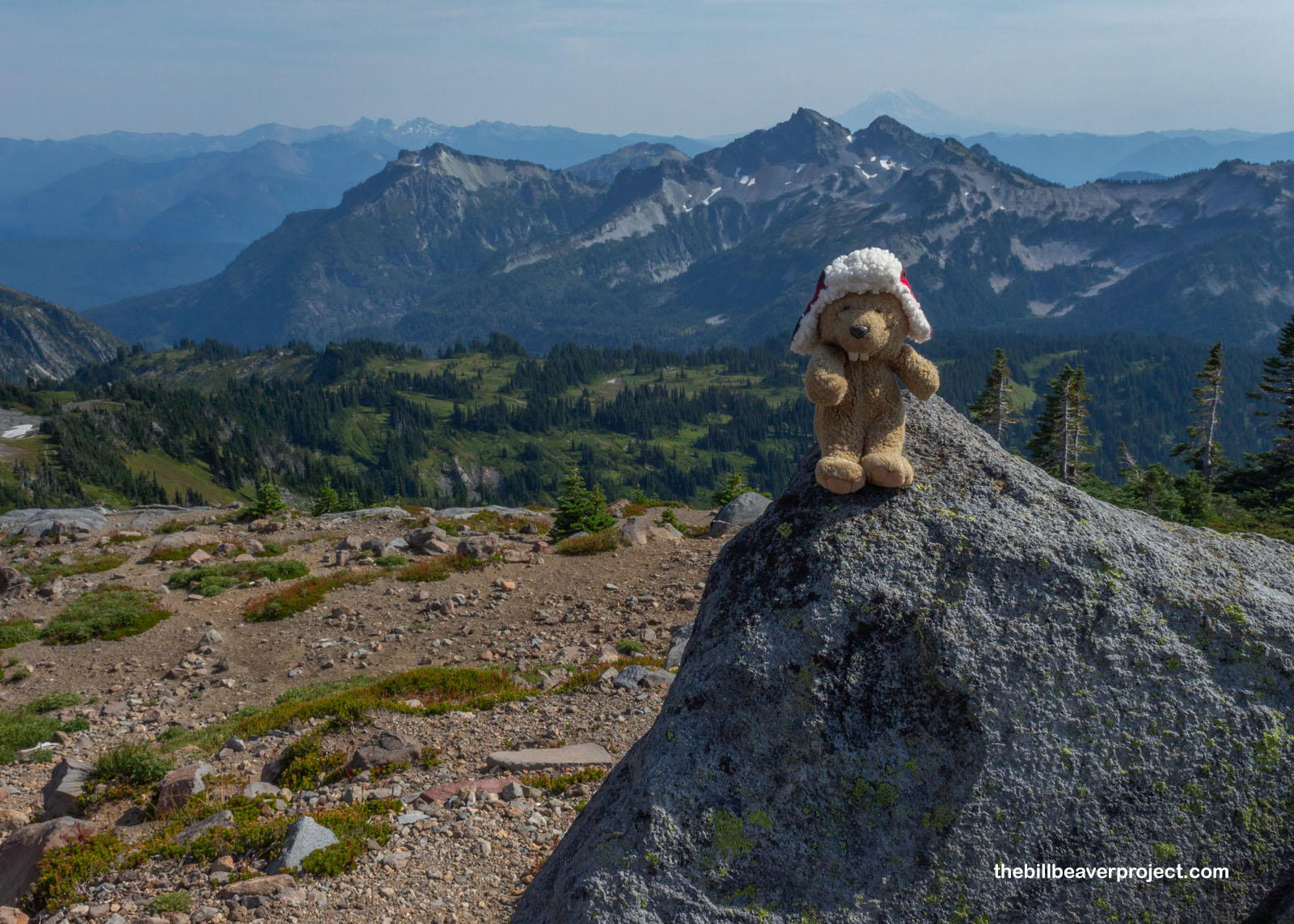 |
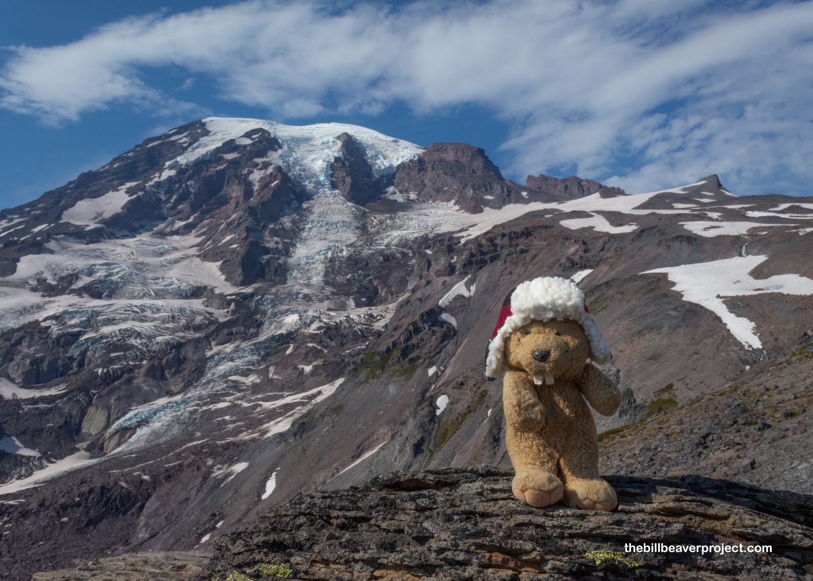
The High Skyline Trail peaked at nearly two miles from the trailhead, around 7,000 feet in elevation or nearly midway up the 14,410 feet of Tahoma. It was spectacular! Tahoma is Anglicized from a Cowlitz word for a snow-covered mountain, a refuge in time of flood, home to treasure troves, and the headstrong husband of two wives, Pahto (Mt. Adams) and Lavelatla (Mt. St. Helens), who blew her top and knocked her hubby’s head off! However, the name attached to both the mountain and park today was that of British Admiral Peter Rainier, who fought the French in the Seven Years’ War, the Americans in the Revolutionary War, and the French again during Napoleonic Wars. Though he had no affiliation with this side of the world, he was friends with George Vancouver, who passed this way in May of 1792 and left the Admiral’s name on this peak for perpetuity. It would not be summited until 1870!
 |
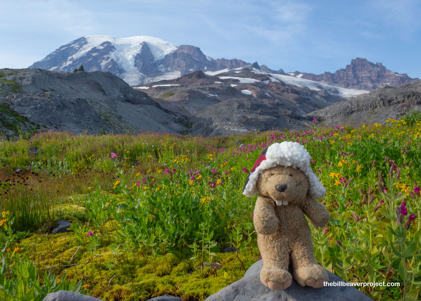
While Tahoma itself was spectacular in its own right, it became even more amazing on the way down as the background for meadows that were just ablaze with color! Wildflowers by the thousands exploded up and down the hills, from scarlet paintbrush to magenta penstemons and golden arnica! Small, fresh streams were trickling steadily down through these mossy meadows, adding the perfect natural soundtrack to the loveliest wild tapestry!
 |
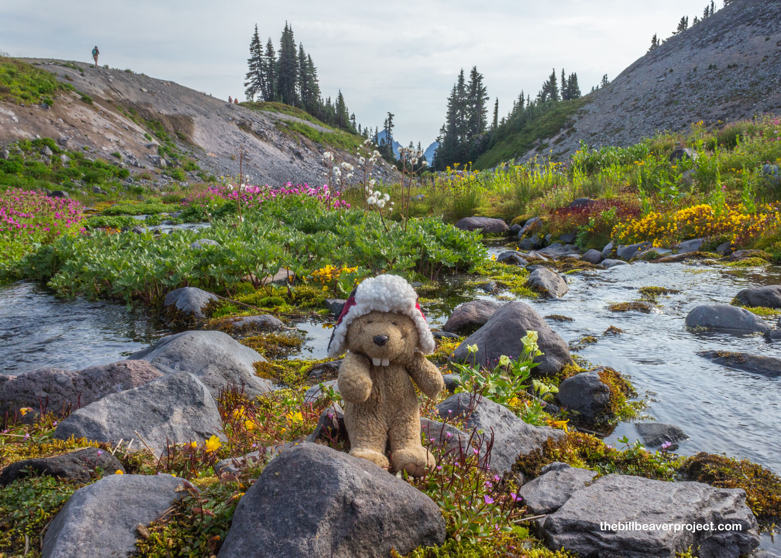 |
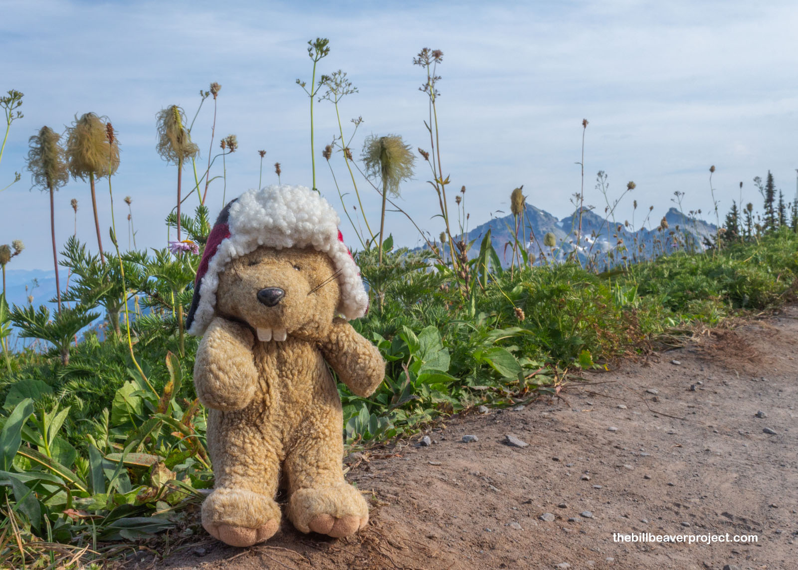
And the individual plants here were super cool too, like these puffy western pasqueflowers (Pulsatilla occidentalis), kind of toxic but useful for dulling pain and anxiety! For me, my pain and anxiety were undone by the abundant huckleberries all down the trail, the most flavorful I’d ever tasted, bursting with notes of green apple! I wasn’t alone in enjoying them either. While the other hikers passed them by unnoticed, I waved to a black bear downslope, who was positively gorging on berries in preparation for the upcoming winter!
 |
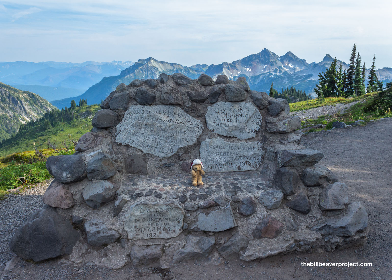
Not far from the bear, a stone bench marked the site of the basecamp where Hazard Stevens and Philemon Beecher Van Trump (who spearheaded making this a national park) planned their pioneering ascent of Tahoma on August 17, 1870! Their guide to this spot was a Yakama fellow named Sluiskin, and he was not happy for them. Tahoma was believed to be guarded by hostile spirits in a lake of fire on top (Tahoma is after all, a stratovolcano), and Sluiskin didn’t want to be blamed for their demise! Nevertheless, the mountaineering duo made it to the summit and down, setting the stage for thousands more to follow in their wake!
 |
The rest of the trail was a long drop through switchbacks and along the road, heralded by pikas and beset by mosquitoes! Returning to pavement by Myrtle Falls was like hitting a wall of tourists, all trying to get their family selfies and wedding photos in front of this same easily accessible view. Just like at the Grand Canyon, I sure was thankful to be able to hike in places most folks can’t or won’t. With a forecast making Rainier rainier tomorrow, I count this as one of the best possible ways to maximize an afternoon in this amazing park with a centerpiece!
Off ta home-a!

 More 2024 Adventures |
Total Ground Covered: 218.0 mi (350.8 km) |
 More 2024 Adventures |
