 Previous Day |
Christiansted, VI → Point Udall → Fredericksted, VI 48.4 mi (77.9 km) |
 More 2026 Adventures |
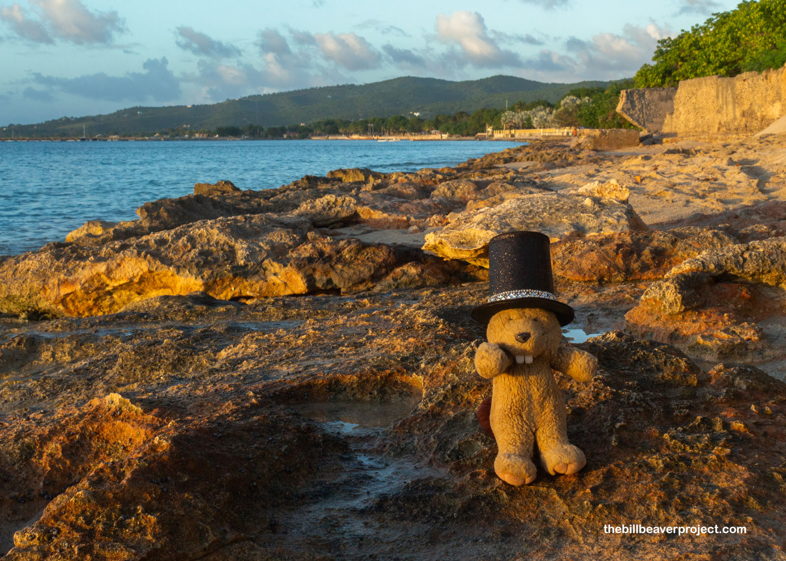
Mahning, ahyou!
I was up and at ’em pretty early, calculating just what to do to fill my second, and final, day here on St. Croix. I’ve been using a new-ish ride share app, VI Hail, to get around, and though it’s been expensive, I figured it would be worthwhile just to get to the easternmost point in the USA—Point Udall, whose western counterpart I completely missed in Guam last year! So I hailed a big, black pickup truck from the Christiansted National Historic Site parking lot, and hopped in with Andrew and some bopping Caribbean tunes! After about twenty minutes, he dropped me off and gave me his card, promising to come back at 10:30 if he didn’t hear from me. At the easternmost edge of the USA, there is no cell phone reception!
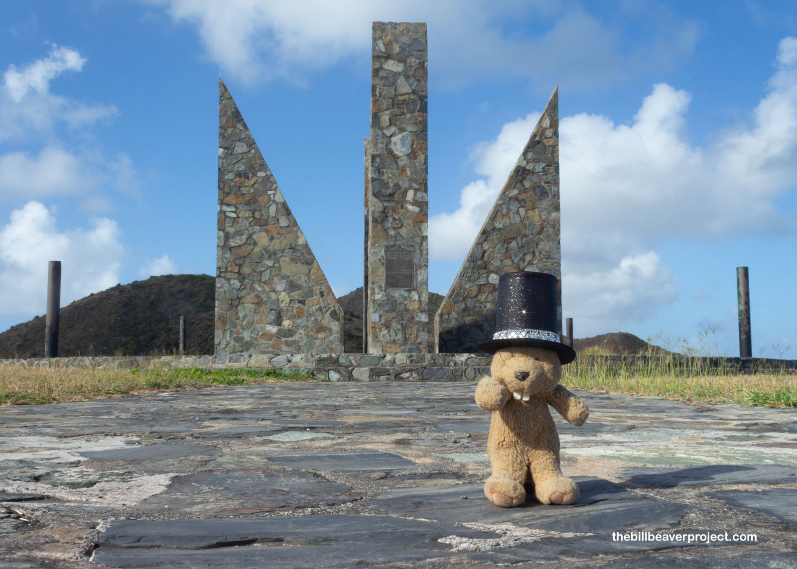 |
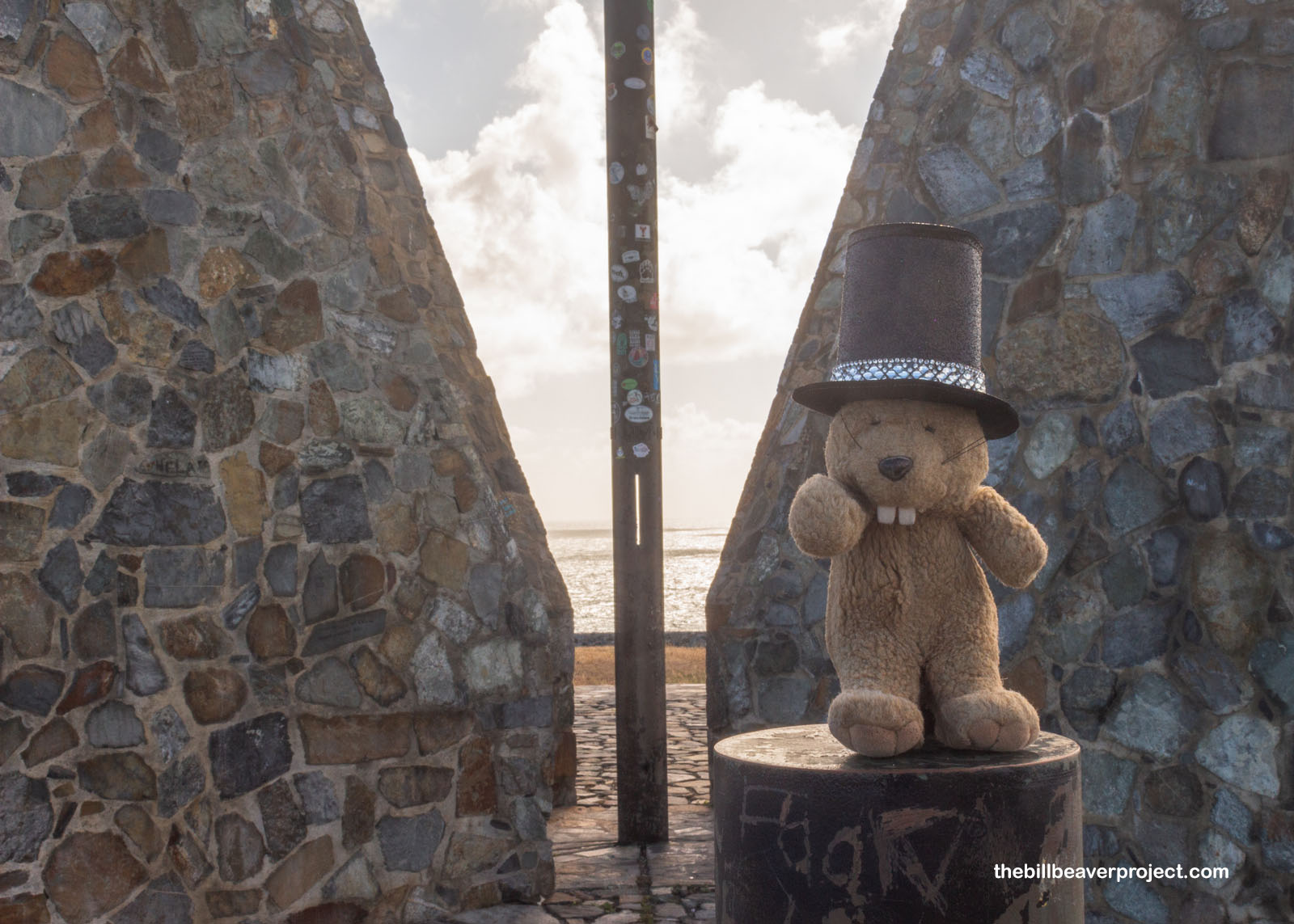
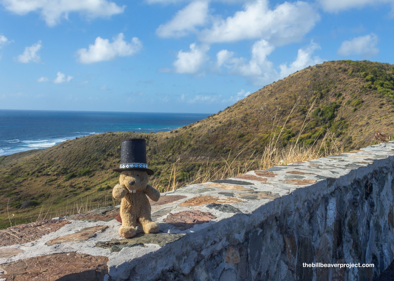
The monument at Point Udall is a sundial, dedicated in 2000 and aligned with the azimuth of the first US sunrise of the new millennium! It was named for Stewart Udall, who as Secretary of the Interior from 1961 to 1969, oversaw the addition of four national parks (like Canyonlands and North Cascades) and six national monuments (like Buck Island Reef and Alibates Flint Quarries! The one in Guam was named for Stewart’s conservation-minded brother, Mo! From here, it was a straight line between me and Africa, and with a bit of time before Andrew came back—hopefully—I decided to take in some more of the scenery with a stroll!
 |
 |
I fell in with a group of gals at the trailhead into the Jack and Isaac Bay Preserve—Emily, Amanda, and Kimie—who were talking excitedly about Dungeons and Dragons. I decided to join their hike, at least for a bit, down toward the water since it was such a beautiful day to be out on a trail! I learned from them that sometimes the air here gets really hazy, not from pollution or fog, but from dust blown here all the way from Africa!
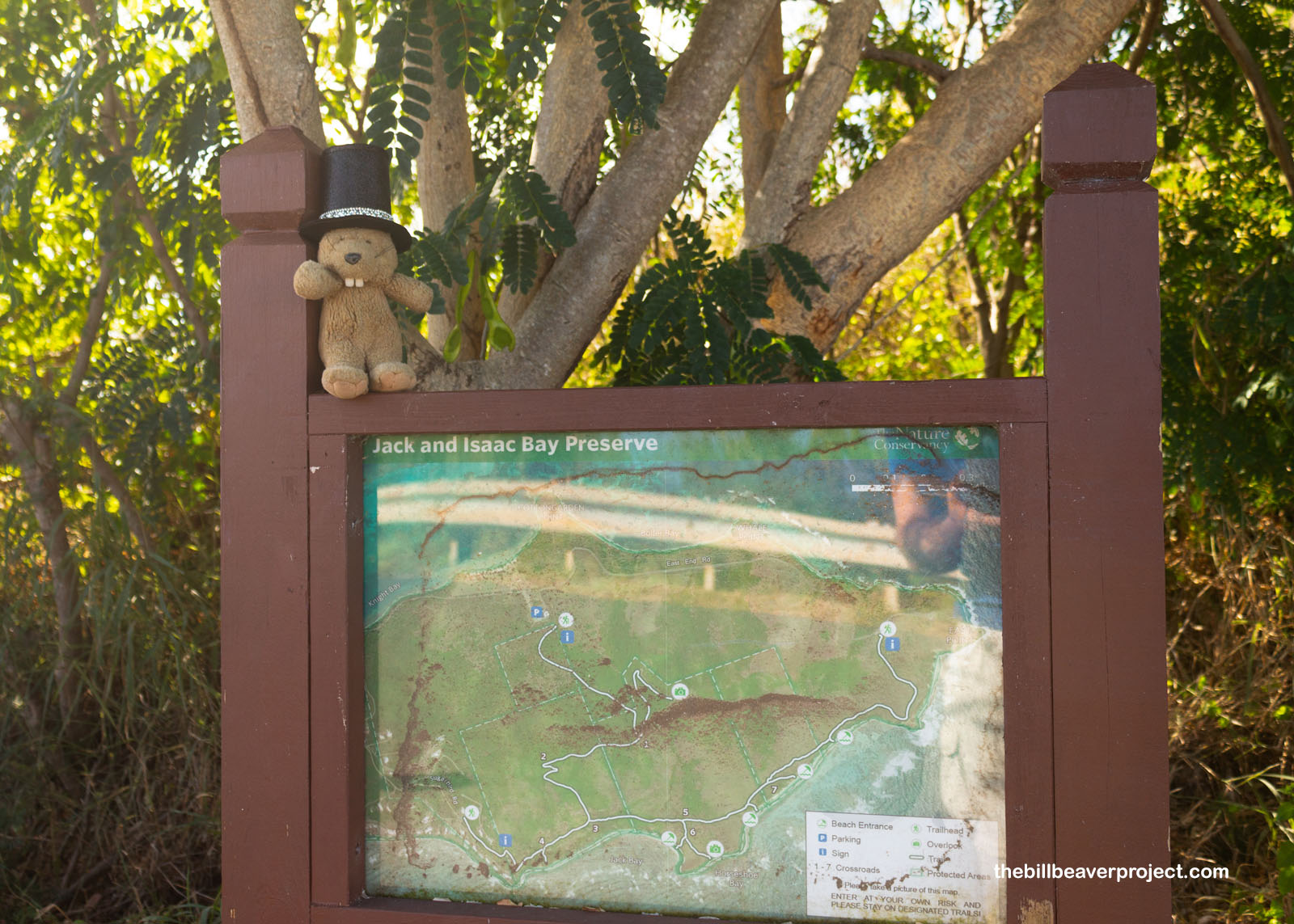 |
It was a mellow stroll down a narrow trail. We peered down on the beach where sea turtle nests, now just pits, were still visible from last year! This preserve is closed for the whole second half of the year because, it turns out, this is the largest nesting ground on the island for green and hawksbill turtles!
 |
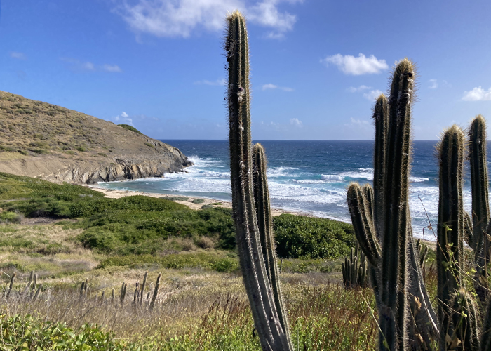
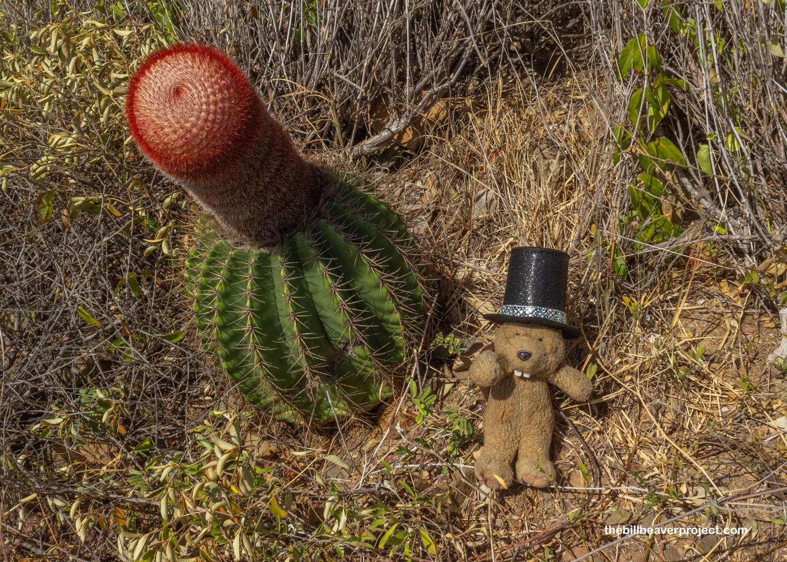
And whoa! What the heck was this? I’d seen barrel cacti before in Arizona but never something quite so… ribald as this one! And yes, this is indeed the red reproductive part of the Turk’s head cactus (Melocactus intortus), called a cephalium! While the bottom part takes care of all the photosynthesis, this top part is dedicated completely to flowers and fruit! That delegation of life needs has helped these plants thrive in harsh climates, where flowering would otherwise be too costly of their energy reserves!
 |
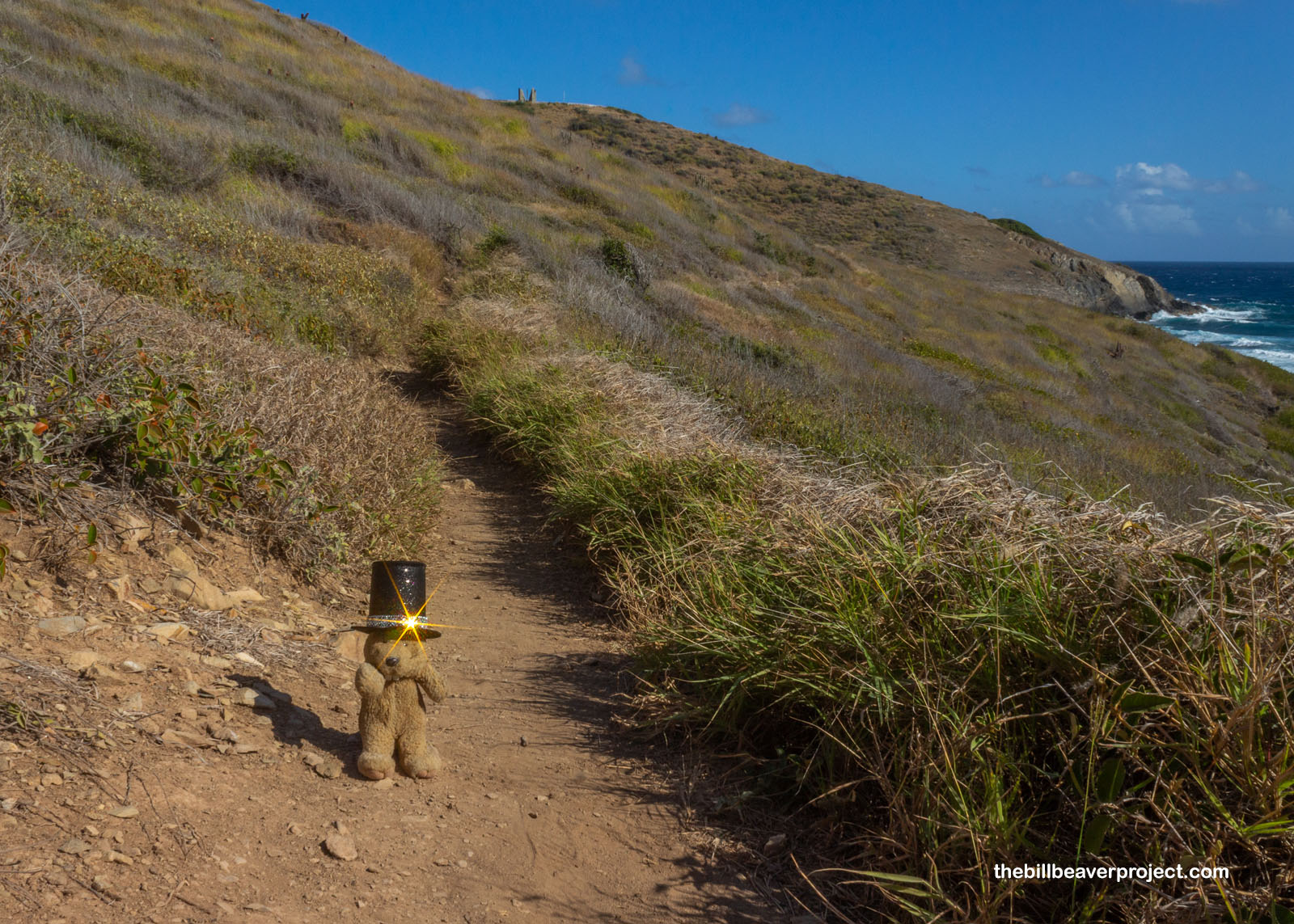
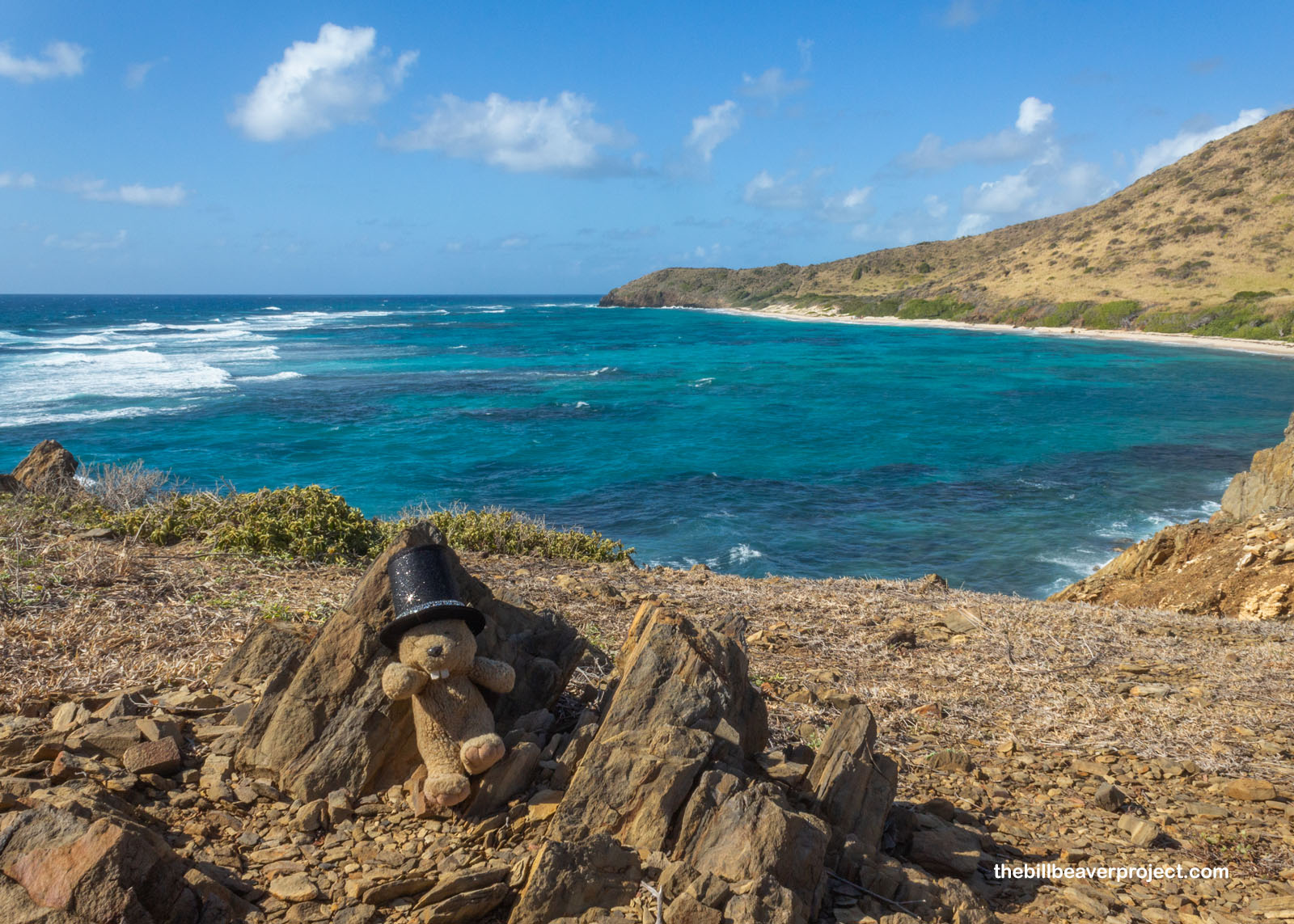
We stopped for some photos at the bottom of the slope, where the point turned rocky and the wind got blustery. Gosh, would you look at the color of that water? It was about as inviting as I could imagine, even if the waves were hitting it pretty hard, just like yesterday. I checked the time, and since I’d told Andrew I’d make myself visible by 10:30, I said “so long” to my companions, who were heading for the top of Goat Mountain, and returned to the trailhead. I didn’t see Andrew, so I fell in with two older gals, who were already strolling the road back to where they parked their car.
 |
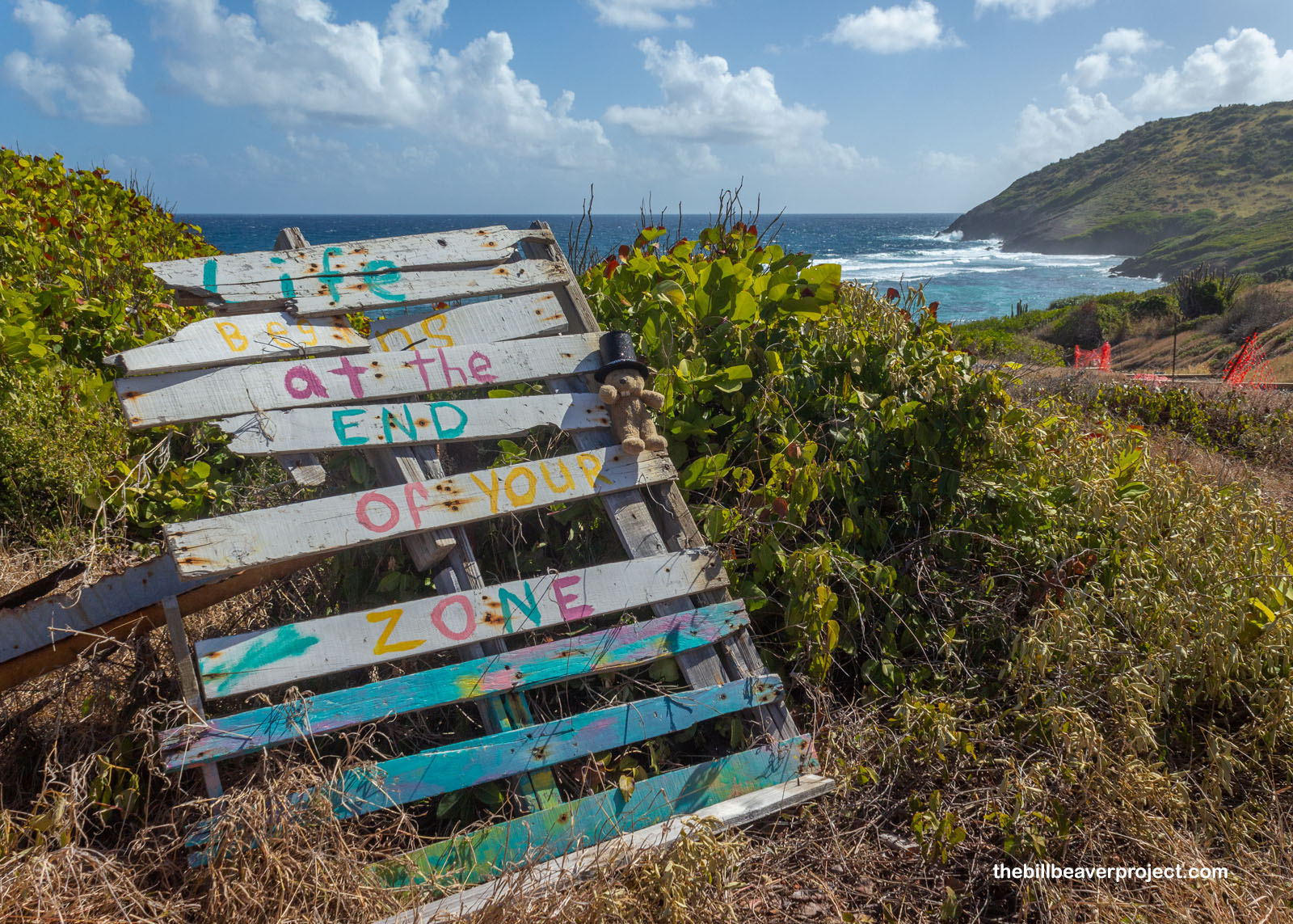
Along the way, this sign caught my attention: Life Begins at the End of Your Zone. It made me wonder what my zone is. Is it LA, and life begins when I leave it? Is it my quest, and life begins when I finish it? Are hats my zone? Is traveling solo my zone? Is my blog my zone? Or did I leave my zone ages ago? These are the tough questions of today. What’s your zone?
 |
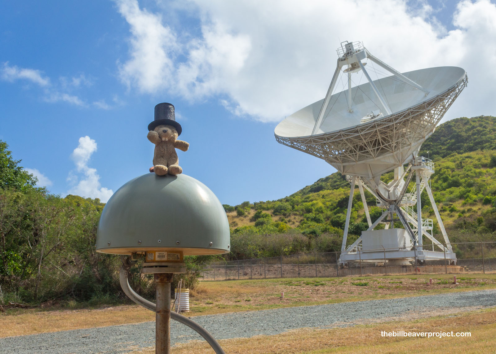
After about a mile, discussing adventures and some sad stories about working in a hospital maternity unit, my companions reached their car, and I diverged to see the St. Croix Very Long Baseline Array Telescope! The VLBA is a network of ten telescopes scattered across the USA from here to Hawaiʻi. Since 1993, they’ve been catching radio waves from deep space and sending them to headquarters in Socorro, New Mexico, where a computer called a correlation combines them all into a single composite image! By monitoring radio waves, the VLBA has been very accurate in mapping the Milky Way, calculating distances between stars, and even monitoring and patterns to study climate change! We’ll see for how long, though, as the federal government is making a point this year of defunding any scientific pursuit related to climate change.
 |
I never heard from Andrew, so I connected to the Wi-fi in the lifeguard shack at Cramer Beach across the street and hailed my next ride. After a few app glitches, where it said I canceled when I didn’t, Marcella pulled up and picked me up, and we chatted travels as she was a teacher considering relocating back to St. Croix from Wisconsin. She’d taught all over the world, even in China, where she said she was treated like a celebrity for being Black! And just like that, the ride blazed by, and after at least one recalculation because the GPS was confused, I was suddenly standing at the entrance to Salt River Bay National Historical Park!
 |
At first glance, there wasn’t a lot to see here. One fellow was training his horse to tolerate ocean water and waves. One was fishing, and one gal was spreading a towel to sunbathe. I found some pretty beach morning glory (Ipomoea pes-caprae), whose salt tolerant seeds have carried it around the world! But I found no signs of the Taino village or batey (ball court) that were here in 1493! There are three reasons for this!
 |
 |
Across Salt River Bay is the Cabo de las Flechas, the Cape of the Arrows, where Christopher Columbus’ second voyage came ashore looking for fresh water and straightaway kicked off “the first recorded altercation between Europeans and the indigenous peoples of the Western Hemisphere!” It’s the only place in a U.S. territory where Columbus actually set foot, and within 27 years, every Native person on the island, and everything they had built, had been eliminated!
 |
 |
When Danish archaeologist, Gudmund Hatt, excavated here between 1922 and 1923, he found pieces of the Taino ball court with carving very similar to others found in Amazonia. He organized the first prehistoric chronology of the Virgin Islands, then took all of his findings back to Denmark! That left very little for me to see but mangroves and succulents as I scrambled across the curve of the point to peer to the bay mouth. It was very pretty; I just wasn’t sure what I was looking at!
 |
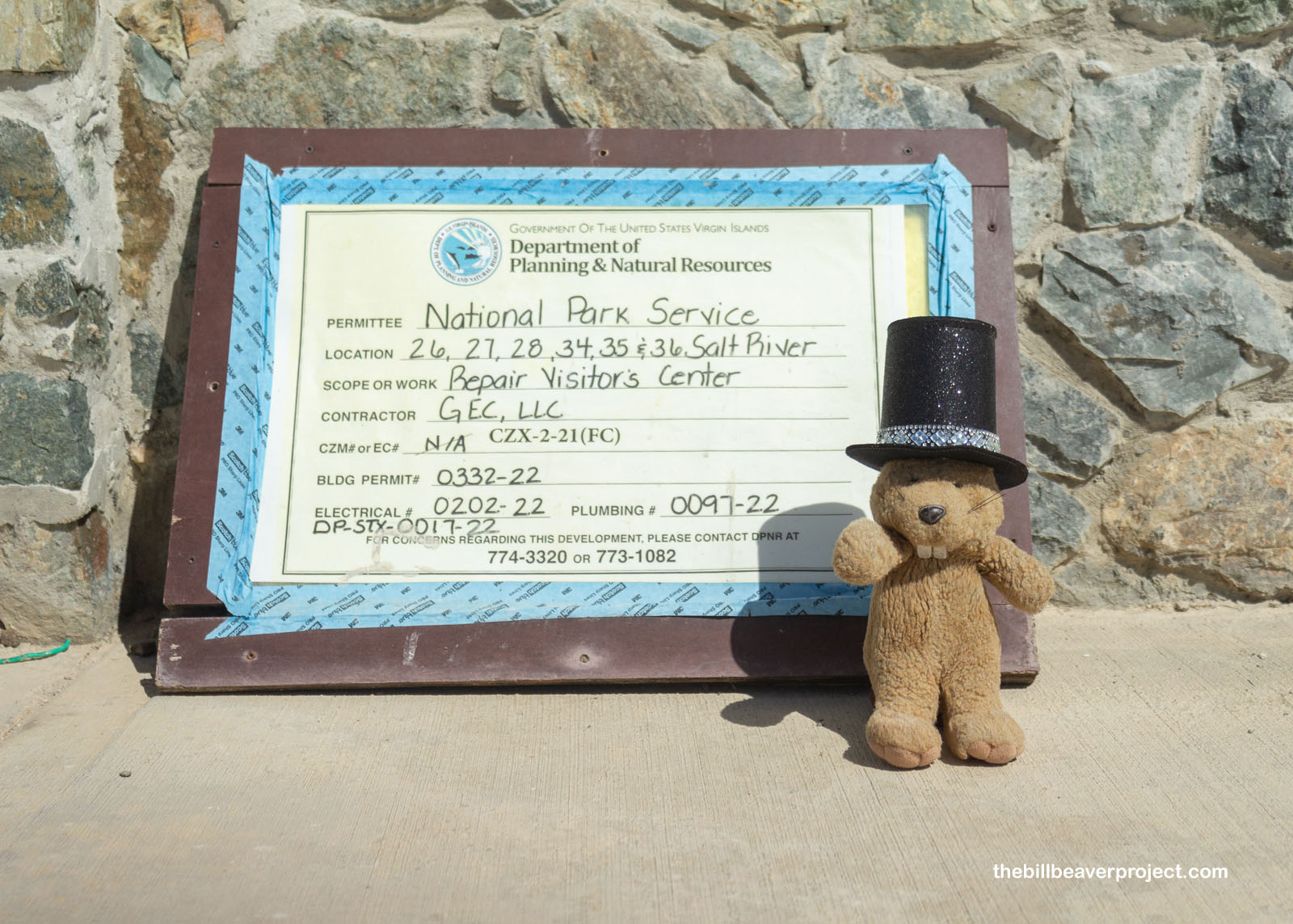
This park was hit hard by Hurricanes Irma and Maria back in 2017, and almost nine years later, the visitor center is still being reconstructed! With no other visible signs or trails to follow, I trekked up the hill to see it, checking in with two workers and getting questioned by a third. Apparently, nothing was really visible here except the landforms, even Fort Salé, one of the oldest European earthwork forts in the Western Hemisphere! I was politely asked to get along my way so the folks could continue their work without monitoring me.
 |
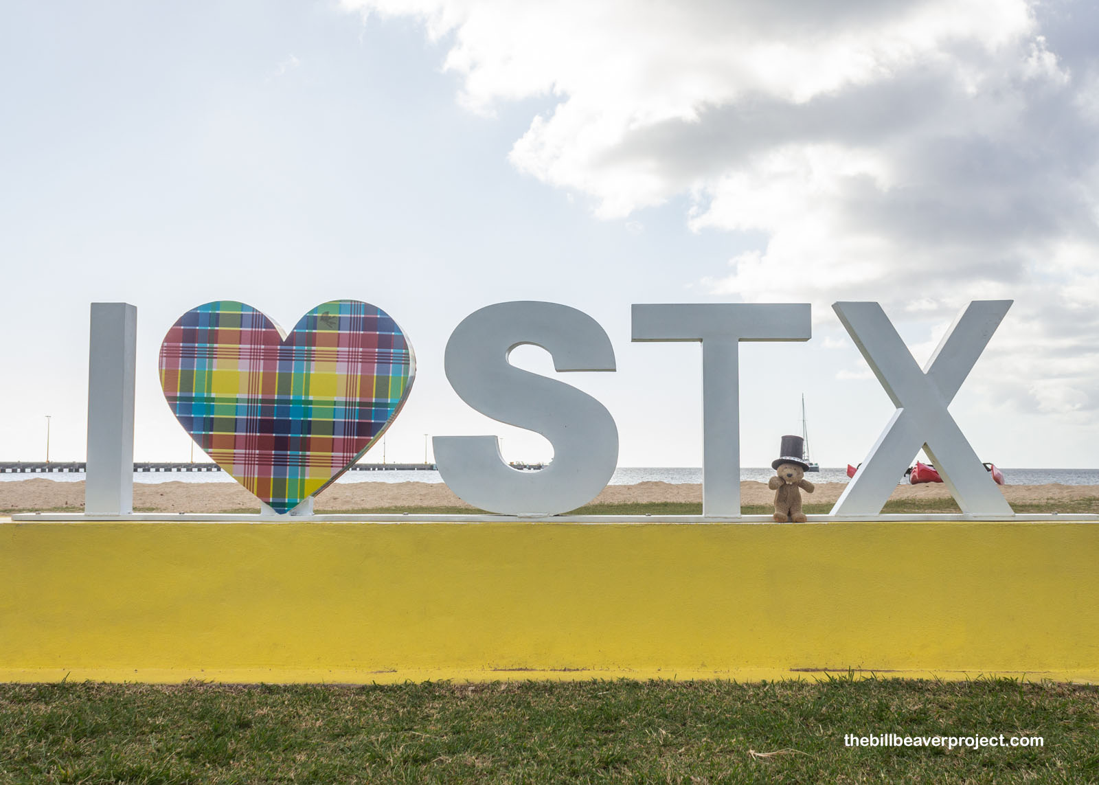
Well, that left with a whole afternoon and a lot of uncertainty of how to fill it. I walked about a mile back to the main road and fought bad phone reception to call a new ride. Wouldn’t you know it, Andrew popped up on my screen! As we drove to Frederiksted, he told me I had to do a trek into the mountains to see an old haunted dam, then pointed out a plant he said could cure AIDS if the pharmaceutical industries would acknowledge it, then talked about how much he preferred driving for VI Hail compared to his construction job. He and his wife also ran a store in Frederiksted, but today being Martin Luther King, Jr. Day, it was closed! So was Fort Frederik, and a bunch of restaurants, but I was at least happy to see an I ♡ STX sign, like the ones I enjoyed in Guam!
 |
As I wandered around quiet Frederiksted, a big change from touristy Christiansted, I saw at least one historic building, he Oscar E. Henry Customs House, which dated back to 1840, the height of the Danish colonial presence on the island! Since Denmark was a neutral power in Europe, its colonies in the Virgin Islands served as a neutral trading ground for merchants from warring states. In exchange, Denmark would collect a customs fee from their transactions! Fort Frederik was installed to enforce those fees!
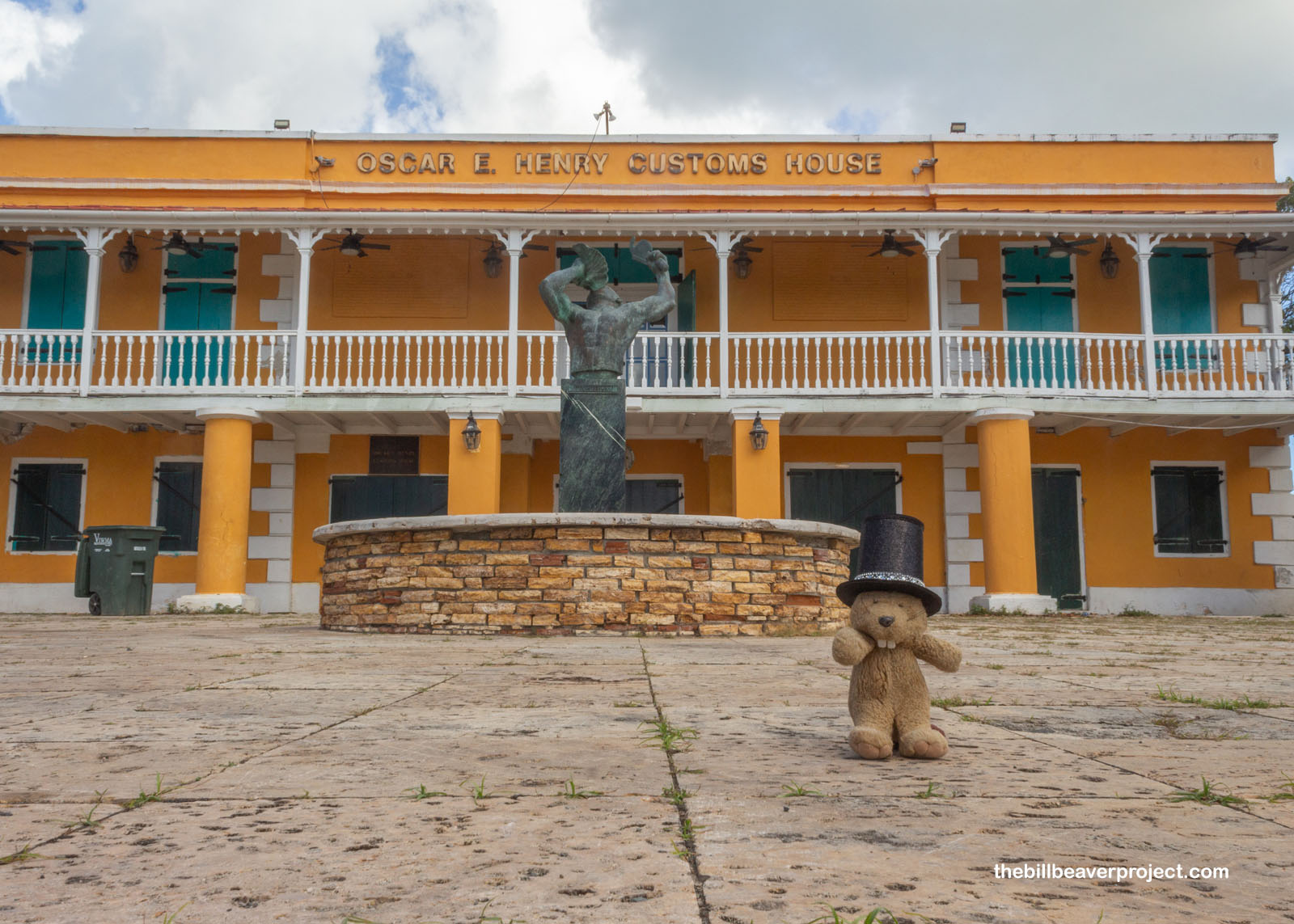 |
After snapping up a snapper sandwich with fries, I strolled down the quiet boardwalk, taking in the pretty light and crystal blue water. I was kind of sad that I didn’t get to do any diving on this trip, but I’m super excited to try again next month on St. John!
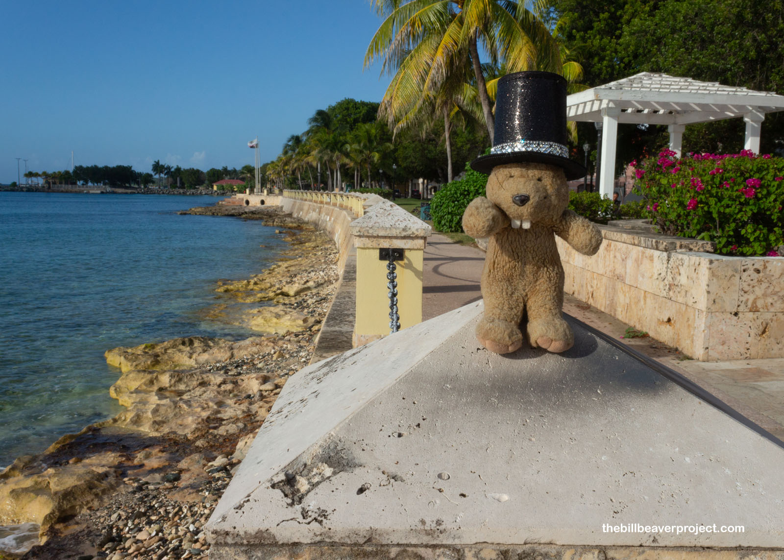 |
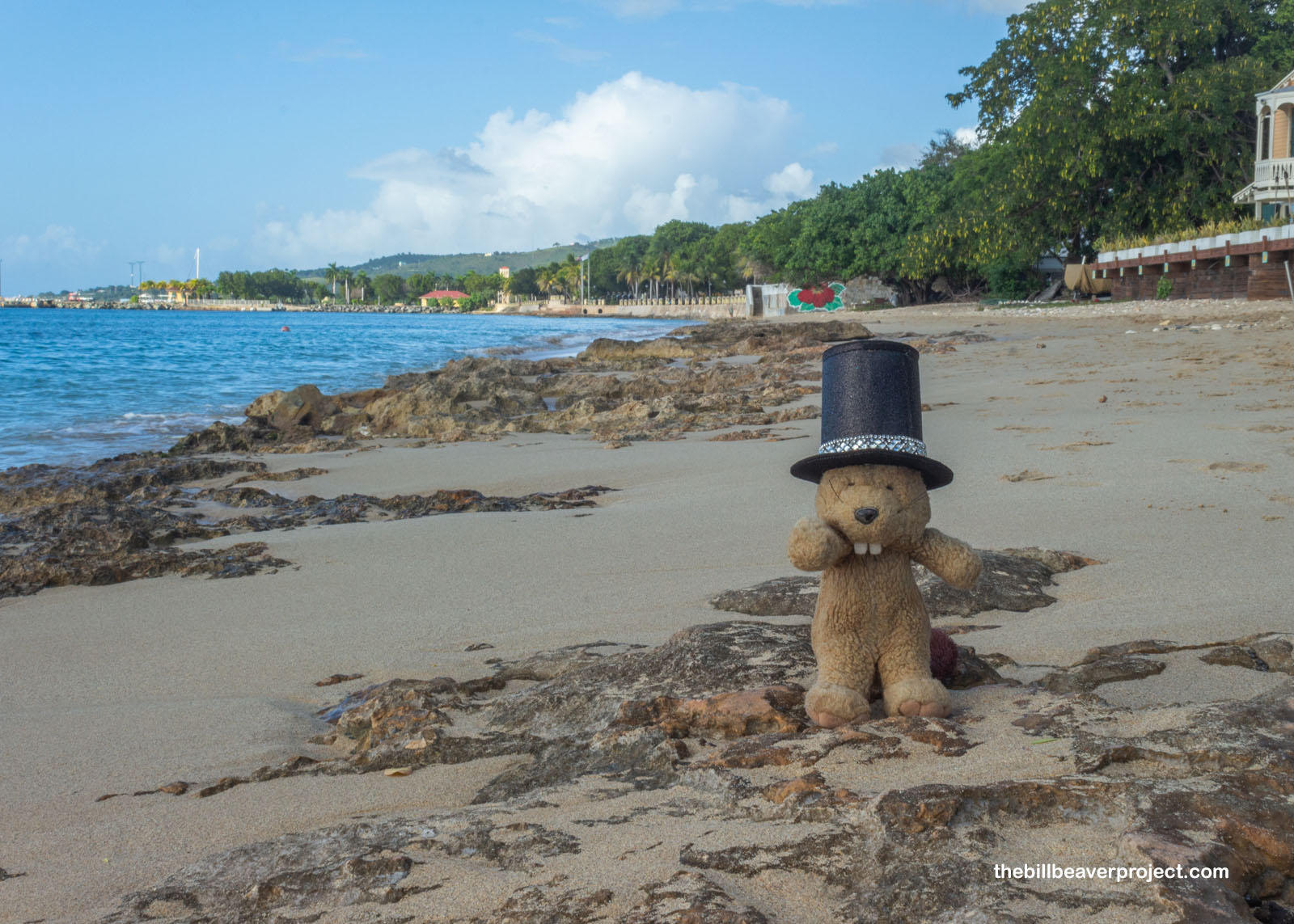
And I kept wandering, because why not? My original plan had been to watch the sunset from Sandy Point, the so-called Shawshank Redemption beach, but the beach was only open weekends. Weekends did not include the 3-day kind. So I stopped for some refreshments with a view and wandered past some kids blasting club music at a picnic table and learned from a fellow named Bertin, who may have been waiting for someone to talk to, that it’s easier to date in Los Angeles because women are a dime a dozen. Not so on St. Croix! He went on for a while about his old restaurant and gave me the card of his old restaurant and asked me to mail him a shirt from LA! I hope I remember!
 |
 |
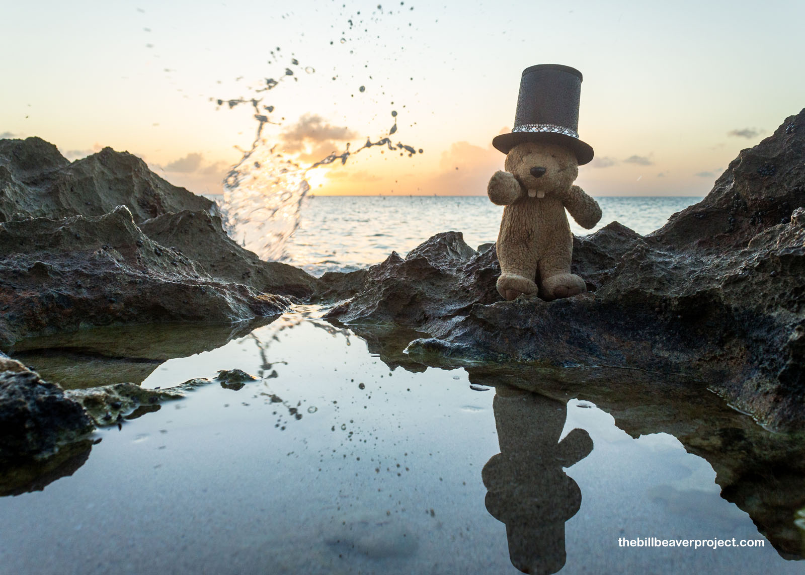
And well, my last sunset on St. Croix wasn’t the one I thought I’d see, but it sure was pretty, reflected as it was in the tide pools. Moments after I snapped this shot, a sleeper wave came in and wiped me right out! I decided the time had come to get a ride to my AirBNB. Lashanda picked me up and took me to a little apartment in Grove Place, where I fumbled about to open the lock box, then strolled a mile and back to the gas station for some hydration, then got a surprise call from Lashanda. I’d left my camera in her car!
 |
Oh no! I imagined losing all my photos from this trip and having to not only find a new camera but also arrange a whole trip back here! My heart was beating like mad! But after filling up her gas tank for a measly $8, she came all the way back and handed over my camera. Needless to say, I tipped her a couple tanks in thanks! So not everything went my way on this trip, but I was not about to let that rattle me. I have another Virgin Island to explore next month, and I aim to make the most of it!
Time to peel out!

Previous Day |
Total Ground Covered: 69.7 mi (112.2 km) |
More 2026 Adventures |