Garcés-Smith Monument!

Garcés-Smith Monument
Landmark #618 San Bernardino County Visited: June 16, 2013 Plaque?  YES! 🙂
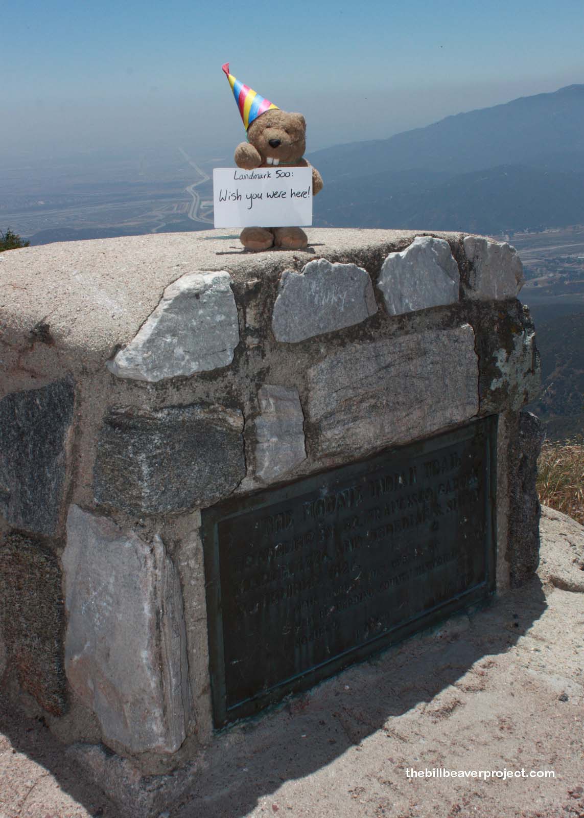
What is it? A plaque high atop Monument Peak!
What makes it historical? THE GUIDE SAYS: This monument marks an old Indian trail, the Mojave Trail, used by Father Garcés in March 1776 on his trip from Needles to San Gabriel. The same trail was used by Jedediah Smith in 1826 on his first trip through San Bernardino Valley.

OTHER TIDBITS: That pretty well sums it up!

How can I Help the Helpers? HERE’S HOW:

  • Become a member of the San Bernardino County Historical Society!
  • Be a responsible visitor! Please respect the signs and pathways, and treat all structures and artifacts with respect. They’ve endured a lot to survive into the present. They’ll need our help to make it into the future!
Where is this place? LISTED DIRECTIONS:
Call San Bernardino National Forest, Cajon Ranger District, (714) 887-2576 for permission to view plaque and directions

ANNOTATIONS:
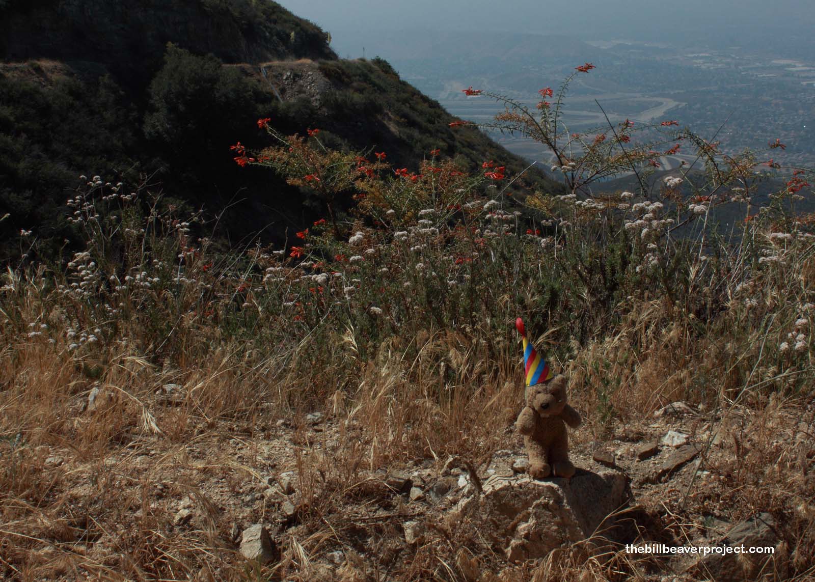
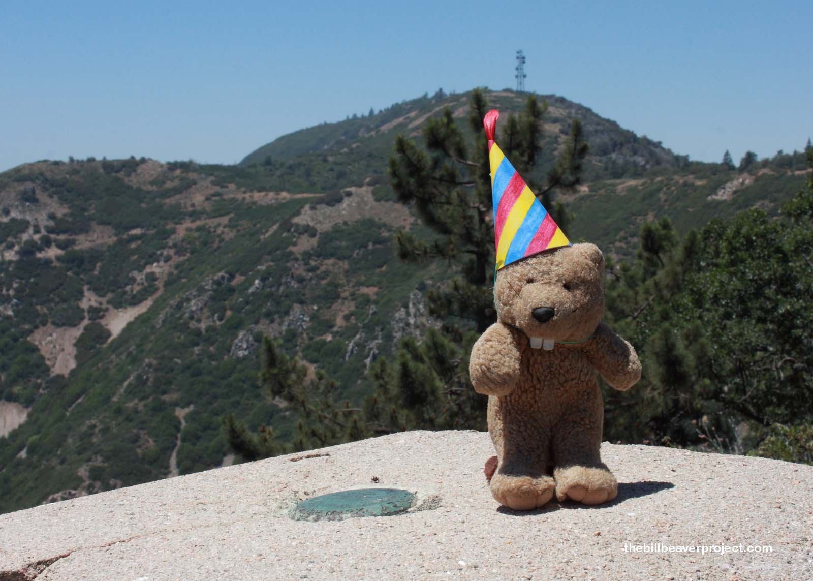
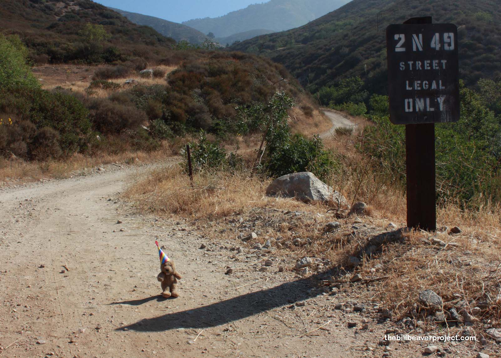
That number doesn’t go anywhere, so don’t bother! This is a nice hike up Bailey Canyon Road (2N 49) with sweeping views of San Bernardino and beyond! Park at Palm Avenue and Melvin Avenue in San Bernardino, then you’ve got a 5-mile trek to the top of Monument Peak!

From Los Angeles: ~66mi (107km) — 1.1hrs
From Sacramento: ~441mi (710km) — 7.4hrs
From San Diego: ~120mi (194km) — 2hrs
From San Francisco: ~439mi (707km) — 7.4hrs

When should I go? Go in the early spring, late fall, or winter, because there is just about no shade on this hike! Also, the views are better during the cooler months!

Garcés-Smith Monument

Garcés-Smith Monument

Garcés-Smith Monument

Garcés-Smith Monument

Click here to see more California historical landmarks!

Leave a Reply

Your email address will not be published. Required fields are marked *

This site uses Akismet to reduce spam. Learn how your comment data is processed.