 |
| Landmark #98 | Kern County | Visited: January 21, 2013 | Plaque? YES!  |
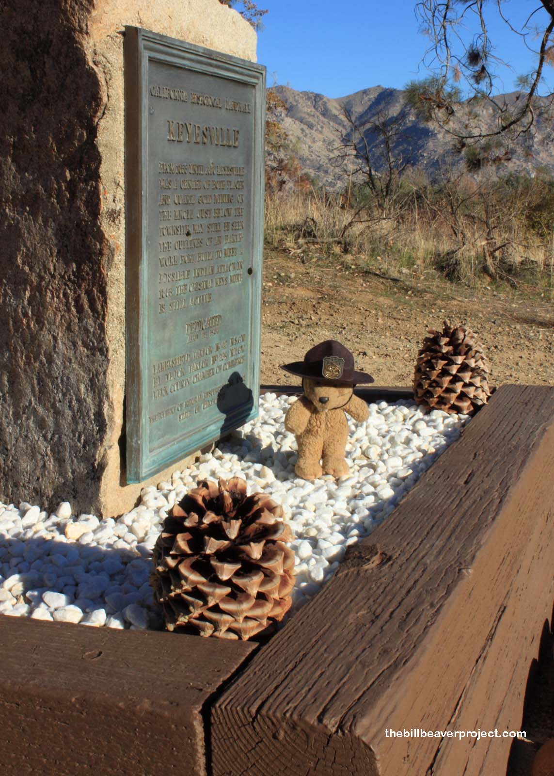
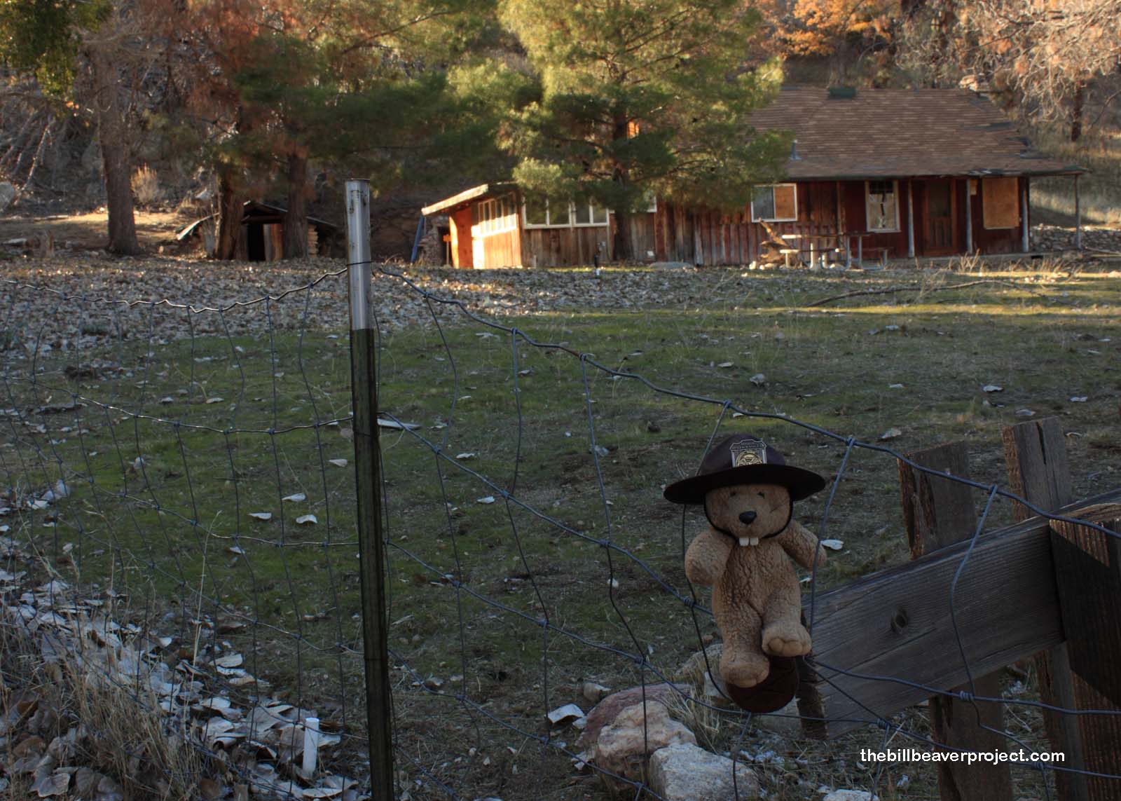
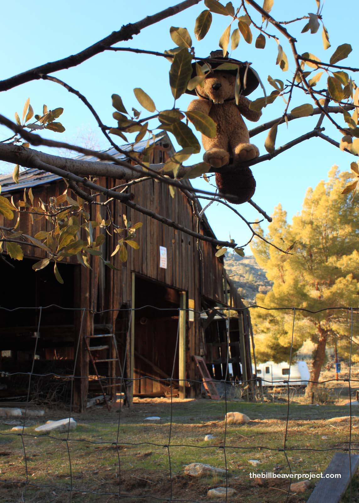
| What is it? | A plaque on a hillside and an old barn! |
| What makes it historical? | THE GUIDE SAYS: From 1853 until 1870, Keyesville was a center of both placer and quartz gold mining. On the knoll just below the townsite may still be seen the outlines of an earthworks fort, built to meet a possible Indian attack in 1863.
OTHER TIDBITS: Four years after the main California Gold Rush began up north, more gold was discovered along the Kern River! Miners flocked to the foothills of what became Kern County to stake their claims. One such town, Keyesville, was named for Richard Keyes, who had discovered the nearby Keyes Mine! The fortifications were set up in 1856 after townsfolk killed five local Native Americans, but no attack befell the town. Instead, a group of the town’s settlers and soldiers banded together and murdered 35 Kawaiisu men on April 19, 1863, an event that came to be known as the Keyesville Massacre! |
| How can I Help the Helpers? | HERE’S HOW:
|
| Where is this place? | LISTED DIRECTIONS: On Black Gulch Rd 2.0 mi S of State Hwy 155 (P.M. 70.0) 3.3 mi W of Lake IsabelIa, CA 93240 ANNOTATIONS: From Los Angeles: ~157mi (253km) — 2.7hrs |
| When should I go? | Whenever the mood strikes you! |


