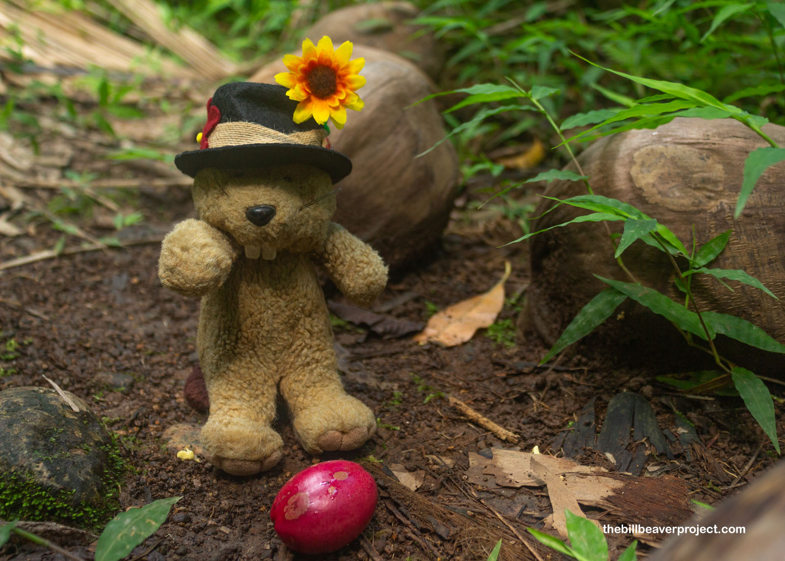
 More 2025 Adventures |
Tafuna, AS → Vatia, AS → Tafuna, AS 36.5 mi (58.8 km) |
 Next Day |
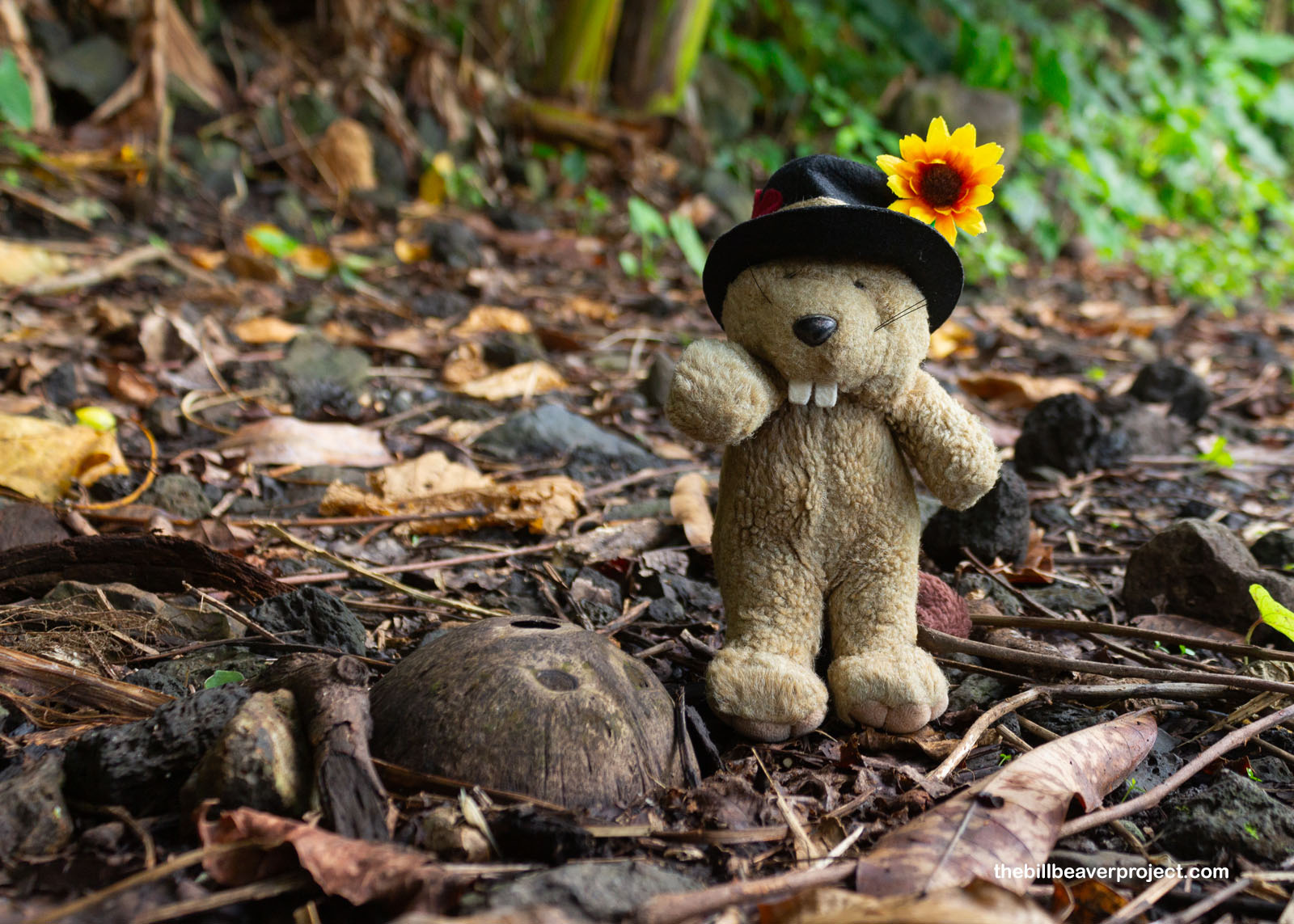
Talofa, tagata uma!
“Talofa” sure sounds a little like “aloha,” doesn’t it? It’s part of the same Polynesian language group, and wouldn’t you know it, I’m kicking off 2025 on a Pacific island that’s so much farther south than Hawaiʻi! In fact, I have crossed the Equator and settled right up against the International Date Line to visit my first U.S. Territory, American Samoa! Here, I’ll be exploring one of the most remote national parks in the whole NPS system!
 |
With only two flights a week connecting Honolulu to Pago Pago (pronounced “pongo-pongo”), I didn’t have a hard time booking a seat, but boy was it a long trek: five and a half hours to Oahu, five and a half more to Tutuila, American Samoa’s largest island. With lots of time and limited places to go, thanks to sporadic flights to other islands, I was going to have to have plenty of opportunities to explore this 18-mile long island paradise. Luckily for me, though, Tutuila had plenty of stories to tell, like the one about the Turtle and the Shark!
 |
Long ago, the story goes, a famine struck western Samoa, and a blind woman named Fonuea was unable to find food for her or her daughter, Salofa! Their neighbors wouldn’t share with them, so they let the sea decide their fate. Jumping into the water, they transformed into a turtle and a shark, making their way east to Tutuila. Here, they came ashore and were nursed back to health by Chief Letuli, so even after they returned to the sea, they stuck around, ready to visit whenever the villagers sang their special song! Listen to it here while you read along!
 |
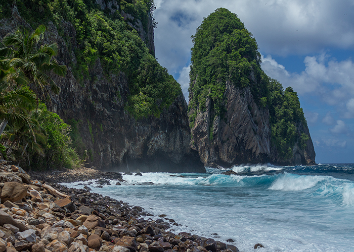
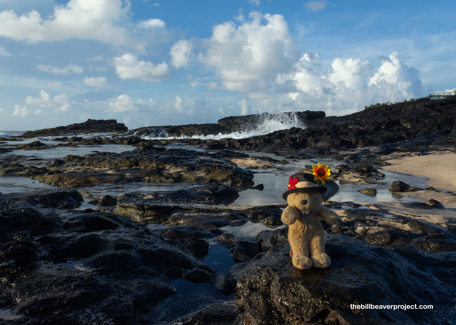
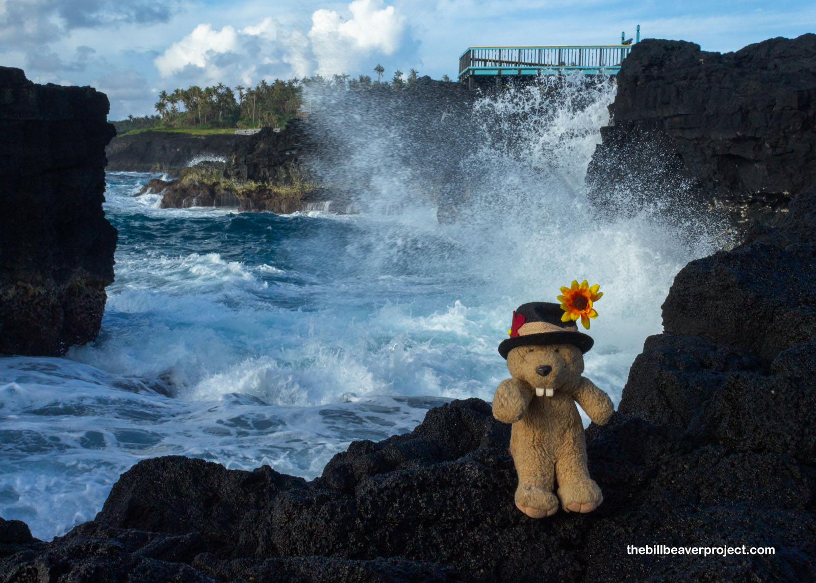
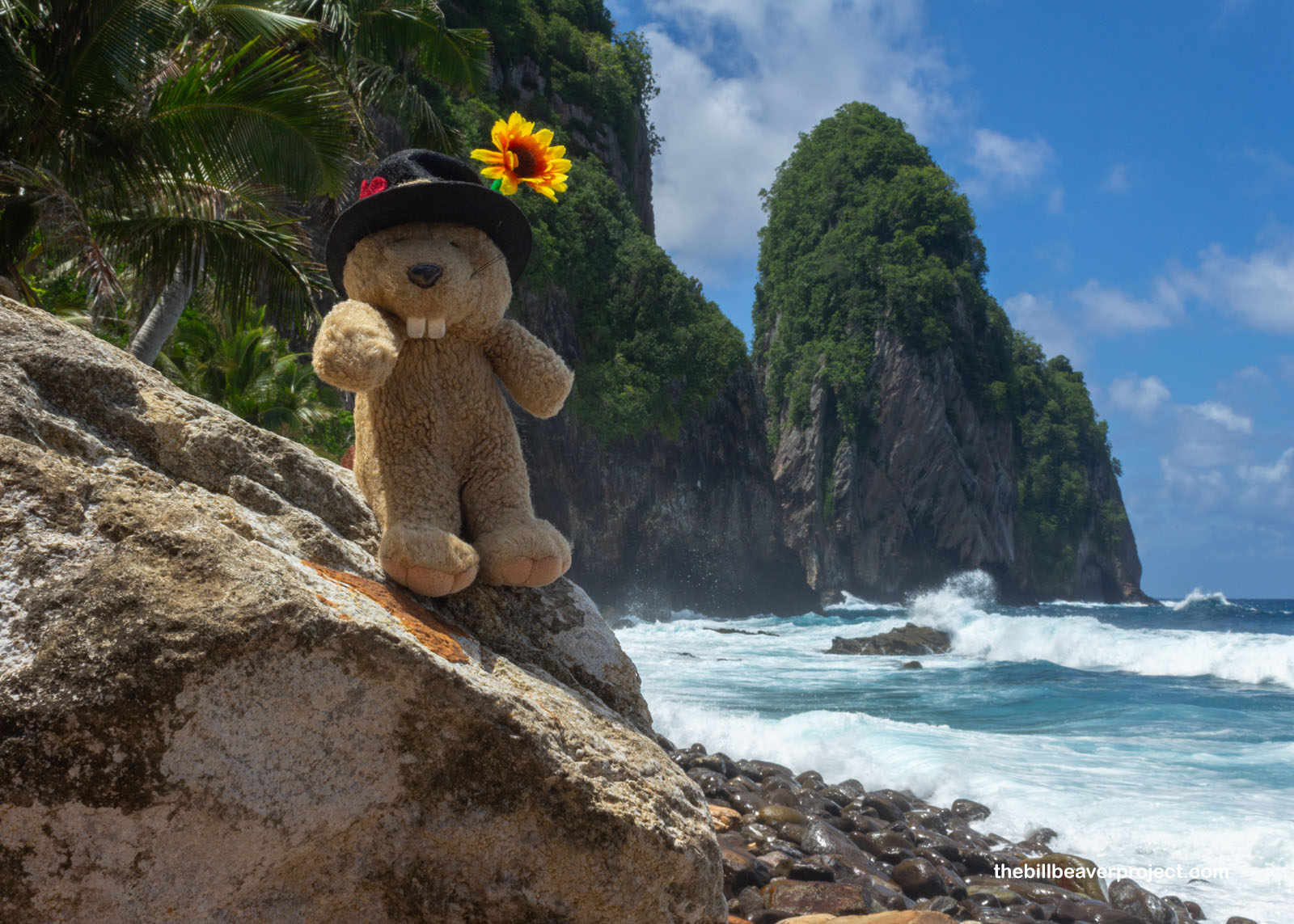
And this shore was wild with mythic power! Even at low tide, the waves rolled in with mighty sprays that almost reached as high as the overlook point! I was tempted to get closer for a splash—even this early in the morning, I could tell it was going to be one scorching, humid day—but those cliffs were mighty precarious and I didn’t know the song to summon Fonuea and Salofa for rescue! Instead, I enjoyed watching the puffs of steam shooting up out of blowholes in the rock and the tiny leaping blennies (Alticus arnoldorum) using their special fins to skip around on the rocks! They were too fast and skittish to photograph, but these amazing fish live almost their entire lives out of the water!
 |
Heat or no, I still had a whole day ahead of me, so I continued along Tutuila’s main road to see what I could see along the way. Turnouts weren’t very common, because a lot of the beaches on Tutuila are privately owned. Heck, the National Park of American Samoa is the only one in the whole system that’s been leased to the federal government for fifty years, to be revisited in 2043! Anyway, I took what turnouts I could, like when my eyes were captured by the sea stacks of Fatumafuti Beach, named for Fatu and Futi, two legendary lovers whose boat sank and left them transformed into tree-topped islands!
 |
 |
I walked along the shore as the clouds whizzed overhead, marveling at the delicate branches of staghorn coral that had broken off and washed ashore. I wondered what the reef looked like just offshore. I sure felt foolish for not bringing my diving suit with me! Had I brought it, I would have had a lot more to do on the island, but one of the days I’m here is a Sunday. As I learned upon landing, this majority-Christian island does not like it one bit when you go swimming on Sunday! I was well warned in advance about following the Fa’asamoa, or Samoan way, while visiting Tutuila, and I was not too keen on ticking off any locals with my frolic!
 |
But what was undoubtedly open to the public was a trail up Matautu Ridge to some island history! Under the sweltering sun, I tramped uphill past fallen coconuts and the fluffy blossoms of the deadly futu, or fish poison tree (Barringtonia asiatica)! These were backed by old, weathered structures dating back to World War II! Significantly, the islands of Samoa were split between the U.S.A. and Germany long before with the Treaty of Berlin in 1899. Germany claimed economic rights to the western isles, while the U.S.A declared the eastern islands an American territory! Though New Zealand took over German Samoa during World War I, the U.S. armed the island of Tutuila in the next World War, against a different axis power: Japan!
 |
 |
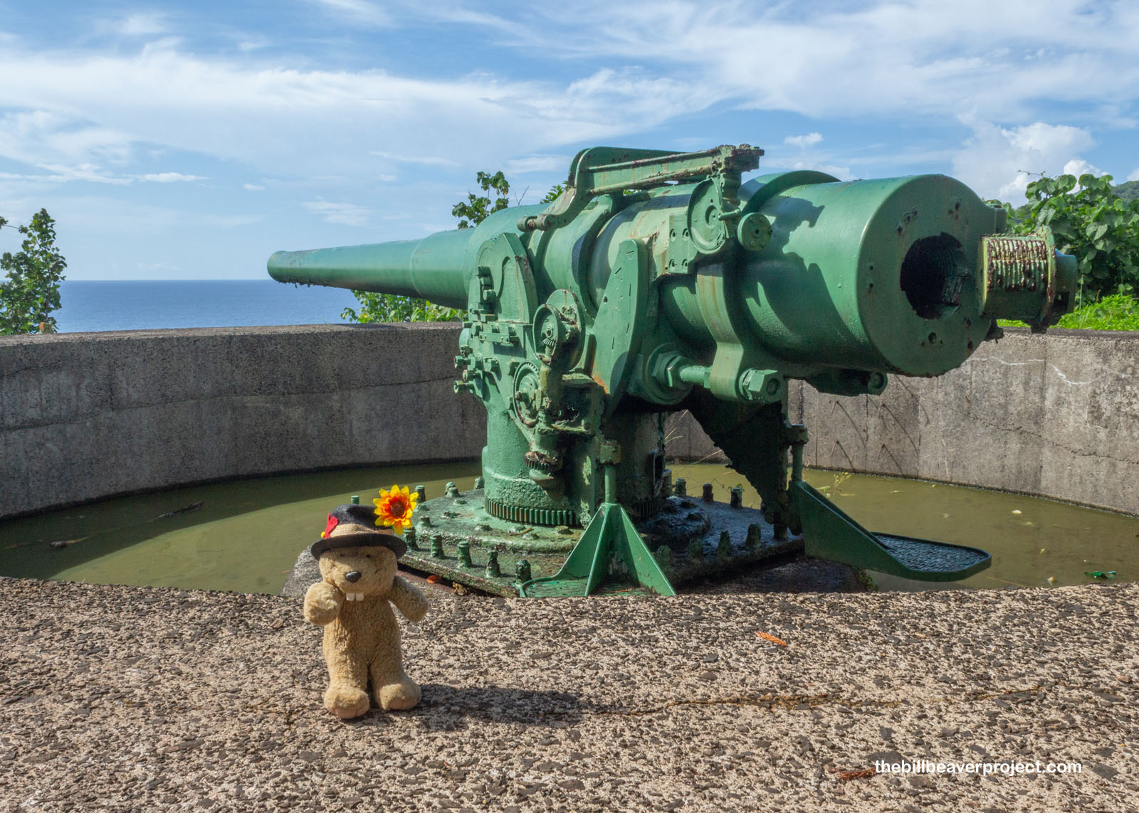
The best surviving example of these coastal defenses is at Blunts Point Battery, today a rain-filled prison for invasive cane toads (Bufo marinus), the islands’ only amphibian. But in 1940, there was a trickle of other Marinus forces here, the 7th Marine Defense Battalion, ready to defend against Japanese expansion in the Pacific! After all, the U.S. relied on these islands to keep their communication with Australia open, and after the attack on Pearl Harbor, over 8,000 troops were sent to Pago Pago, both to set up defenses, assist New Zealand’s bases in western Samoa, and train troops in jungle warfare! The 6-inch guns here are rare examples of coastal defense guns still in their original place from that time!
 |
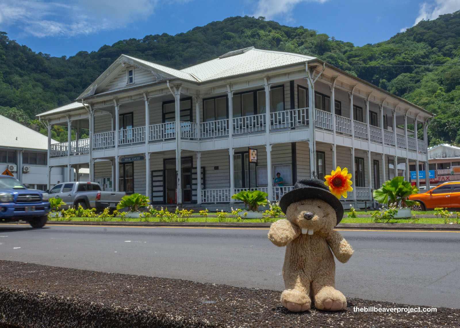
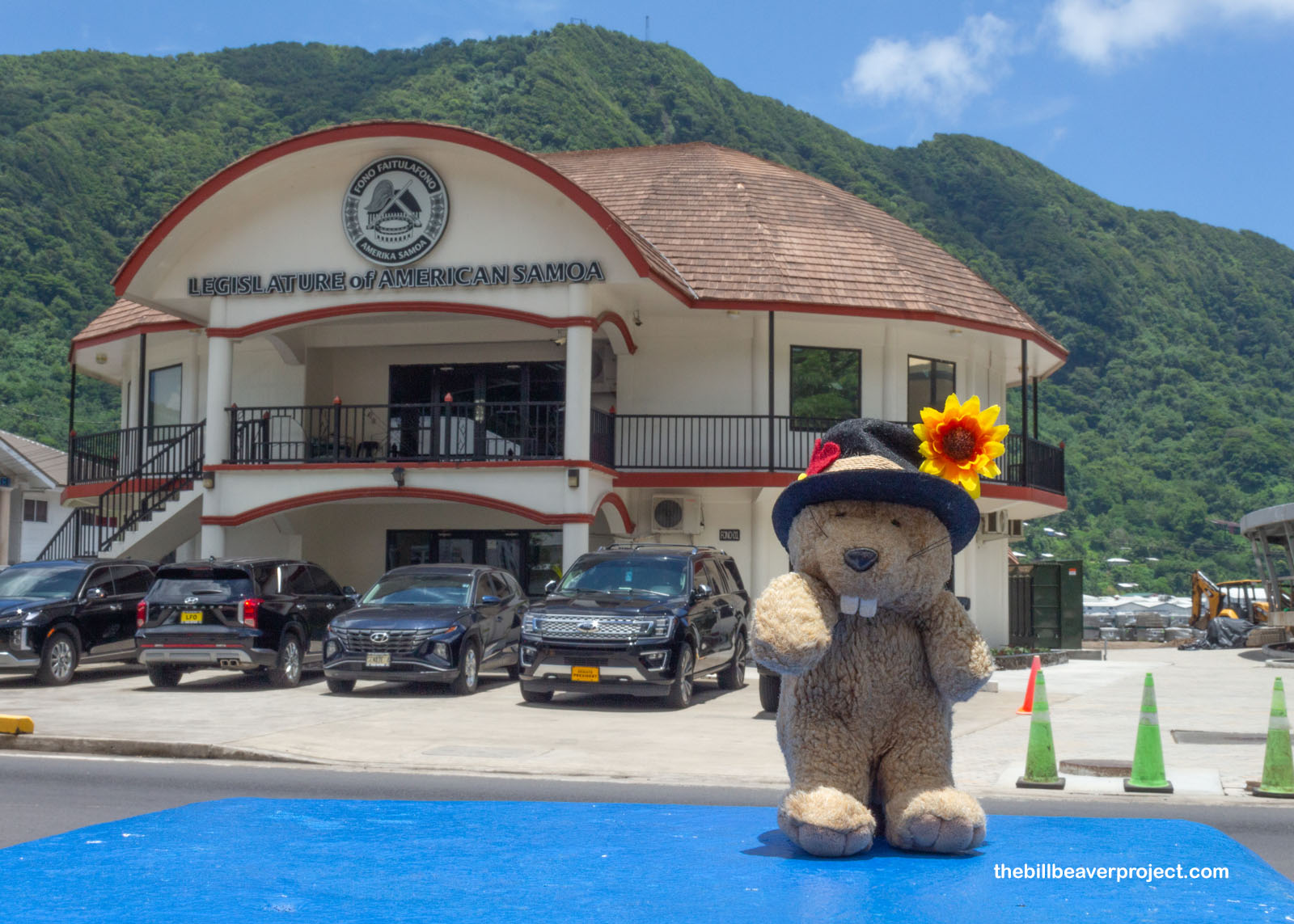
American sovereignty survived the War in the Pacific, and so I wandered down into Pago Pago to see its seat of government. Surprisingly, six different villages made up the capital! Of those, Fagatogo housed two branches of government, including one of the oldest standing buildings on American Samoa, the first U.S. Courthouse! Built in 1900, right after the territory status became official, it housed the offices of the Library, Judge, and Commandant-General, and was a main meeting place between military officials and Samoan leaders. It was also the scene of hundreds of court martials and weddings!
 |
Across the street was a legislature in flux! In 2017, the original Fono, where district representatives had met every November starting in 1905 to submit requests and legislation to the governor, was demolished. The new, concrete Fono has been under construction since 2018. Until that drawn out project is finished, the legislature of American Samoa has been in a temporary building, which I guess I could count as my first territorial capitol!
 |
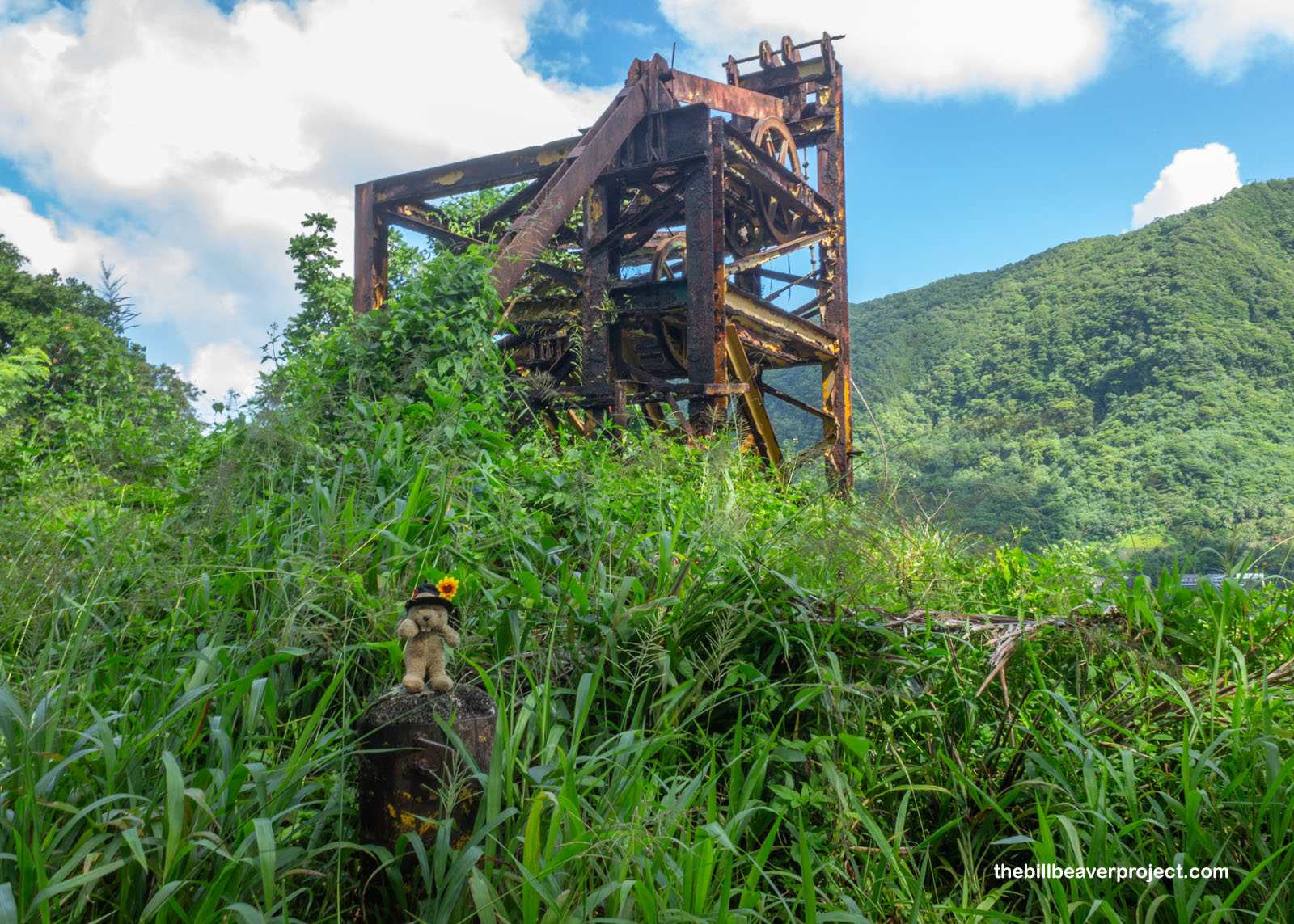
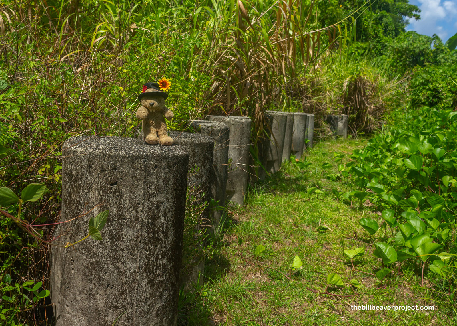
With the government established and the World War over, American Samoa became a tourist destination. Even though today, it didn’t feel like there was enough to do in Pago Pago to entertain a full cruise ship, there’s been plenty of effort over the years. An aerial tramway was built on a hill over Pago Pago in January of 1965, originally to carry engineers to the TV towers on Mount Alava and supplies to the village of Vatia. What made it extra special, though, is it was used to greet arriving cruise ships with a “shower of flowers!” Since Hurricane Val in 1992, though, all that’s remained is this mangled, metal monument, which matches the ruined TV towers wrecked by a more recent maelstrom!
 |
I spent my brunchtime thinking about mountaintops, especially where I was seated at the DDW Beach Cafe, noshing a seafood omelet and looking out at Mount Pioa, otherwise known as Rainmaker Mountain. It was a fitting name, as I could see clouds grow quickly from puffballs to storms and float out over the harbor in an assembly line of short-lived showers! This mountain gives Pago Pago Harbor the highest annual rainfall of any harbor in the world, but it was pretty fresh and mild to witness firsthand. Pioa is also one of the island’s many national natural landmarks on account of its special plants, including half the world’s population of a rare fern!
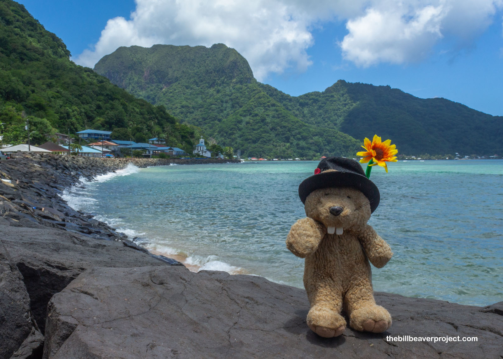 |
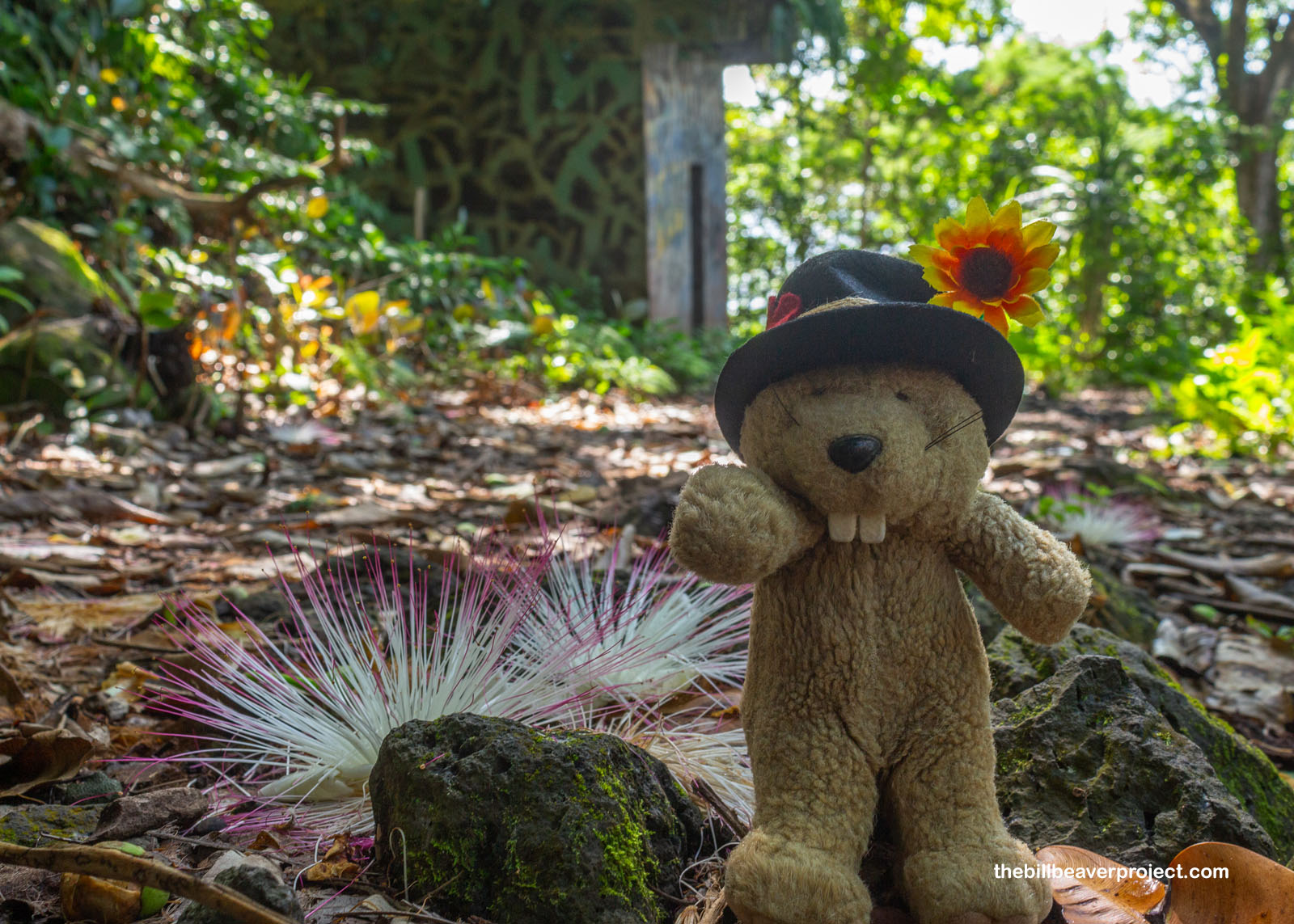
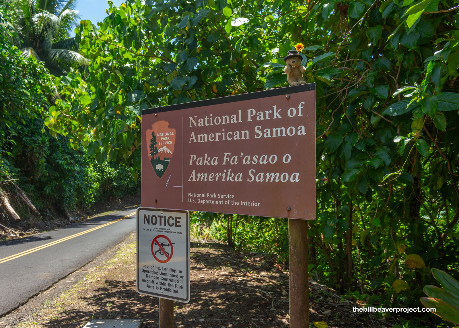
There was no trail up Rainmaker Mountain, but I really wanted to get my feet dirty! So I passed by the wonderful peaks and up the winding Route 006 toward the village of Vatia, entering the National Park of American Samoa! On Tutuila, most of the national park land is formed by the mountains surrounding Vatia, and as I went through the very quiet village, I had to do a lot of backtracking and circles. The signs were sparse and curt, and since American Samoa uses its own special BlueSky SIM card, I was going by best guess, having no access to the internet!
 |
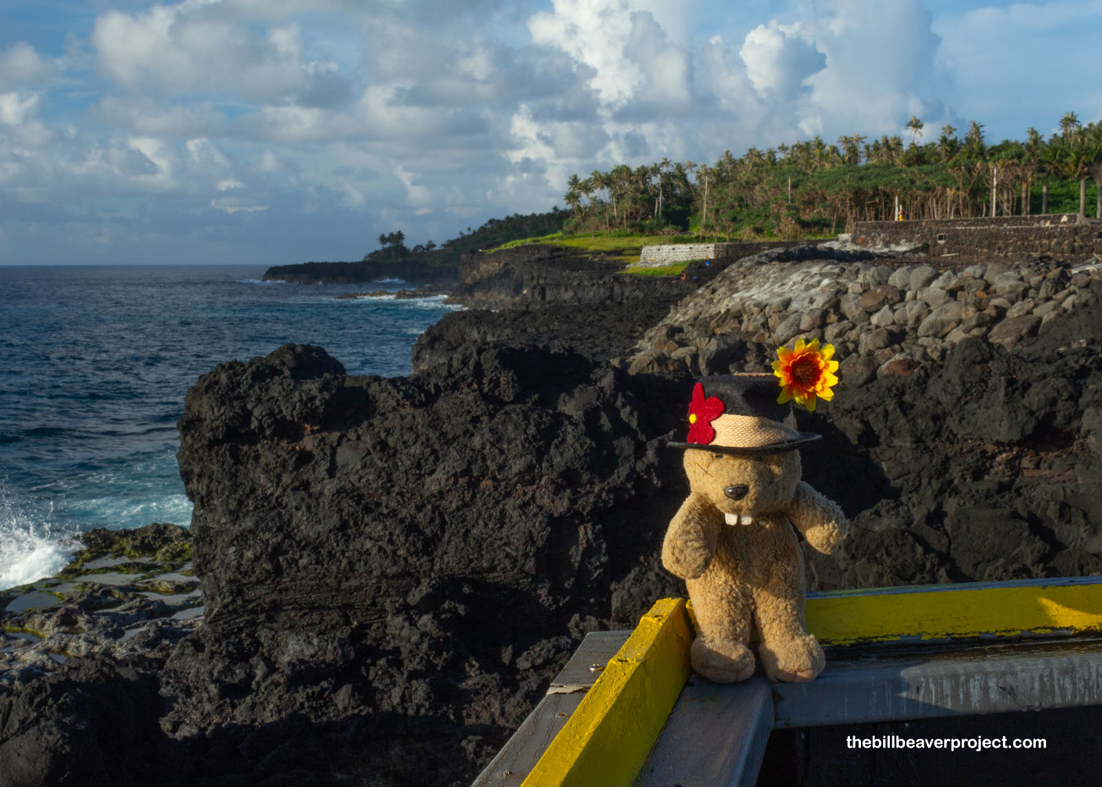
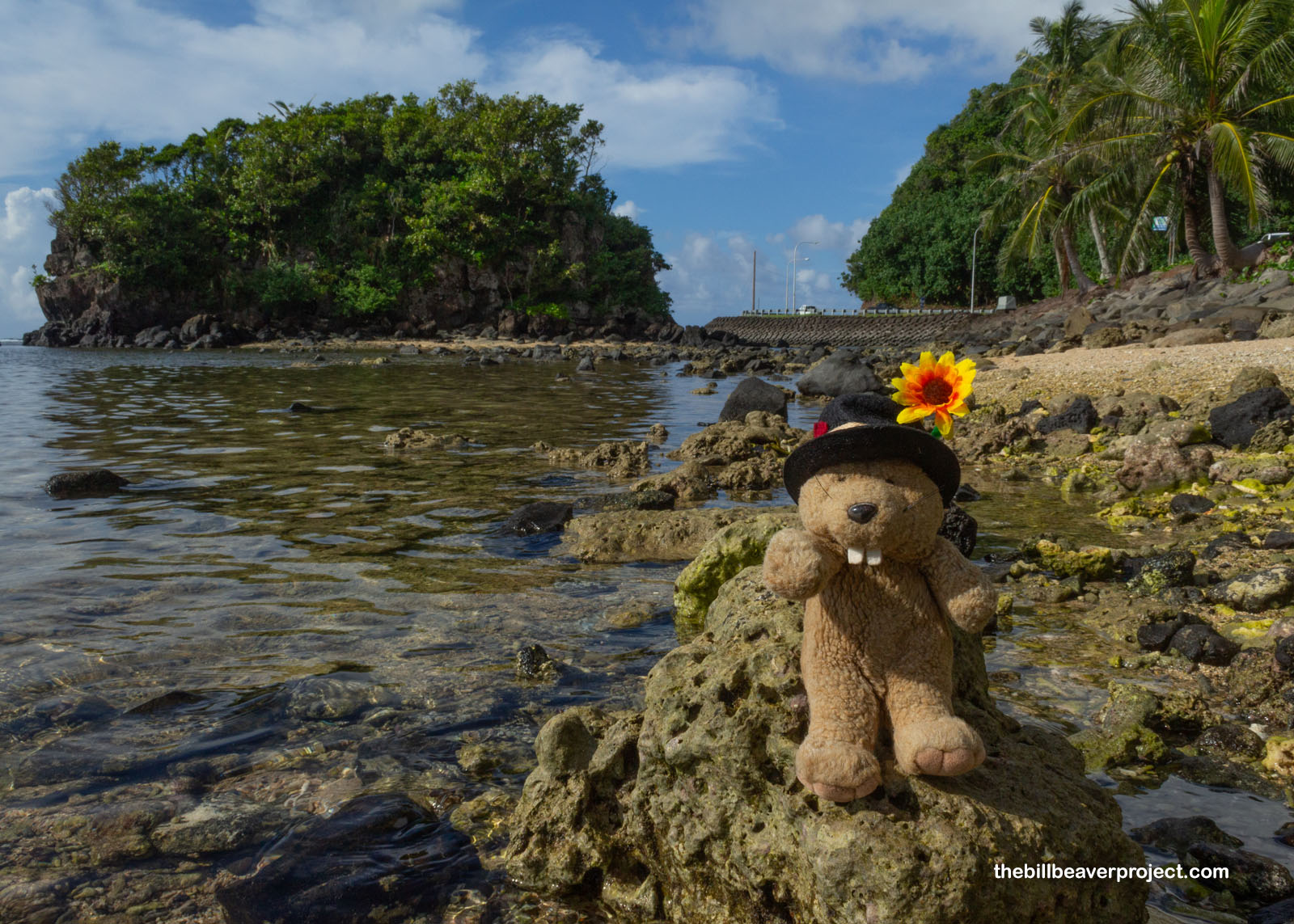
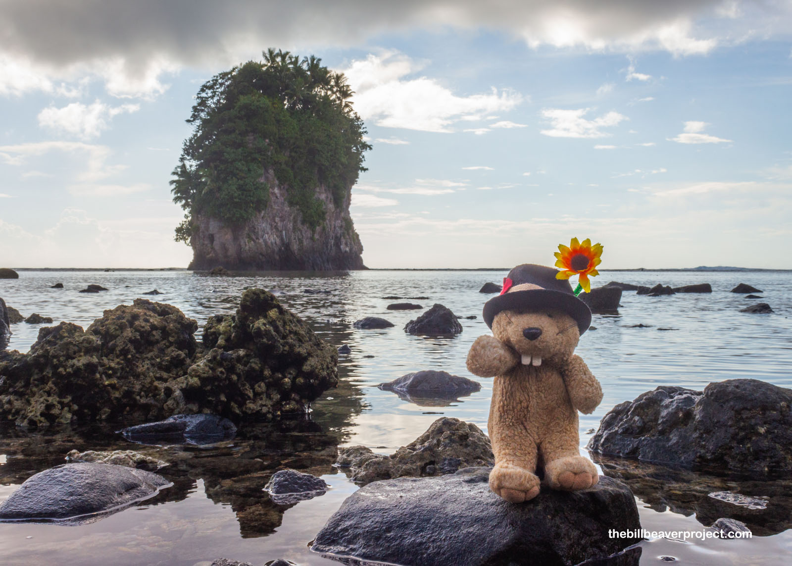
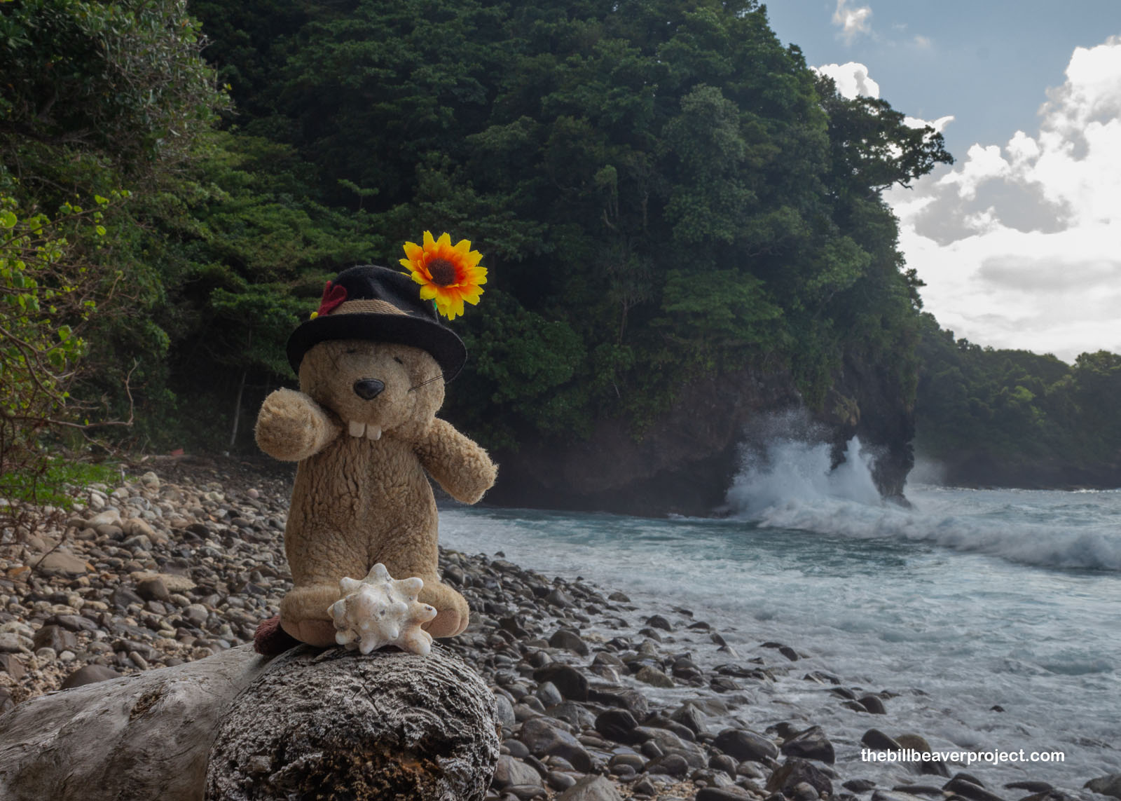
But, I did make it to the end of the village and down the bumpy dirt path to park haphazardly on the side and skip out onto the rocky, wave-battered shore for a spectacular view: Pola Island! This seabird sanctuary is located across the narrow Vai’ava Strait, another national natural landmark! I was surprised to be so isolated at this viewpoint. Despite being right by a village, I had the whole beach with its breathtaking view to myself, along with every face-full of saltwater crashing onto the rocks around me!
 |
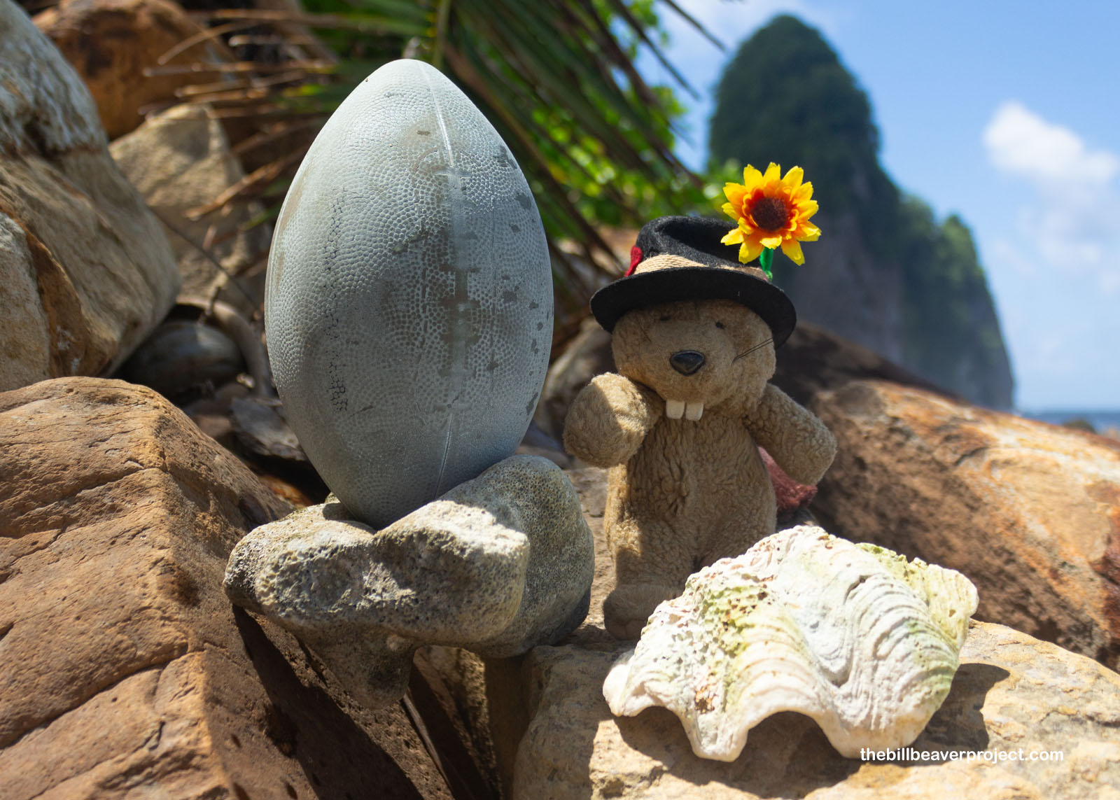
I knew better than to pick up shells in the national park, but a plastic football? American Samoa has a nickname as the “Football Islands,” because it’s produced the highest number of NFL players per capita of any U.S. state or territory! Maybe the person who lost this one will be in the Super Bowl in the next ten years! It’s impossible to prove, but in a place where 54.6% of everyone was living in poverty at last census, I hope they do reach the top! Hike!
 |
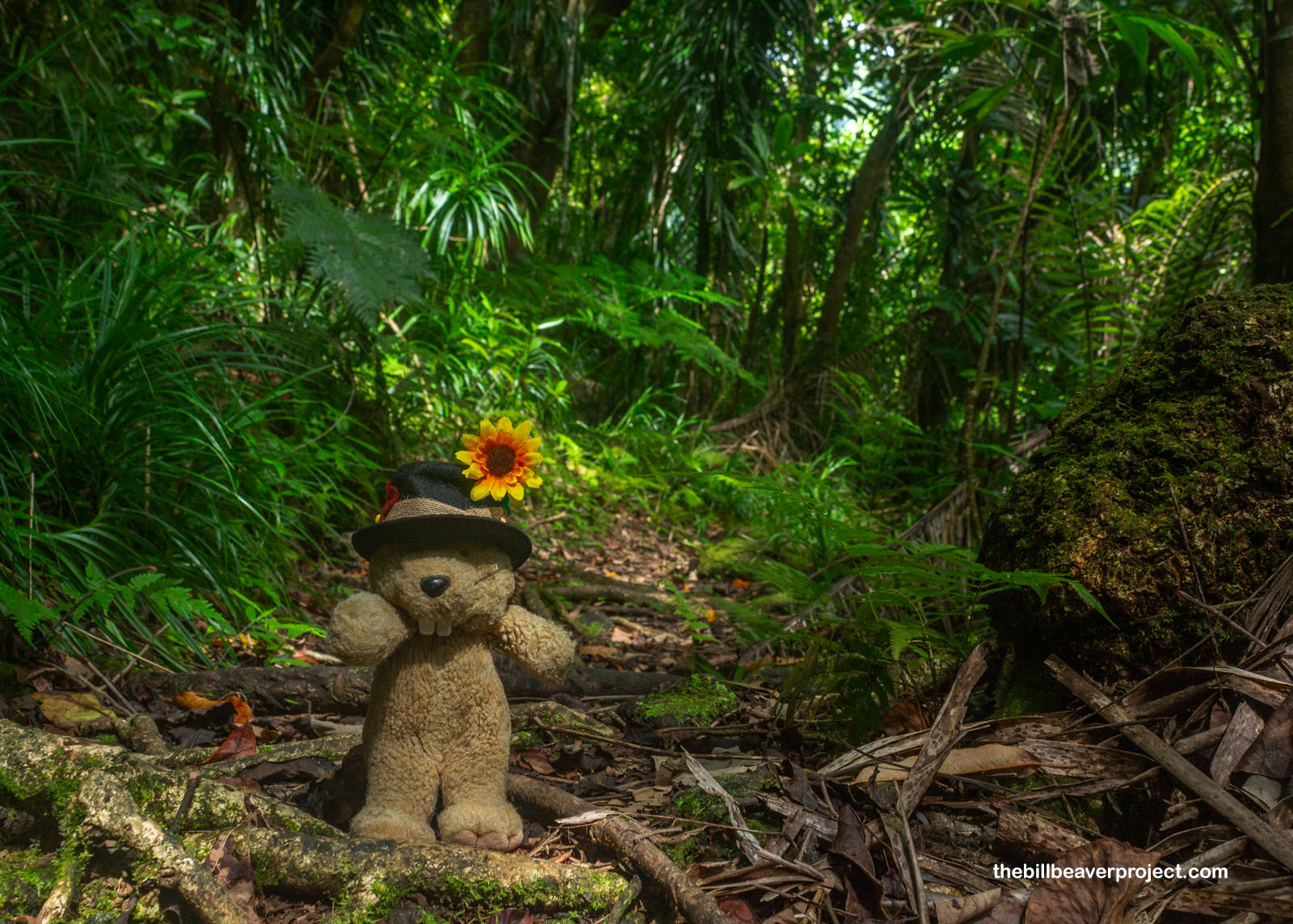
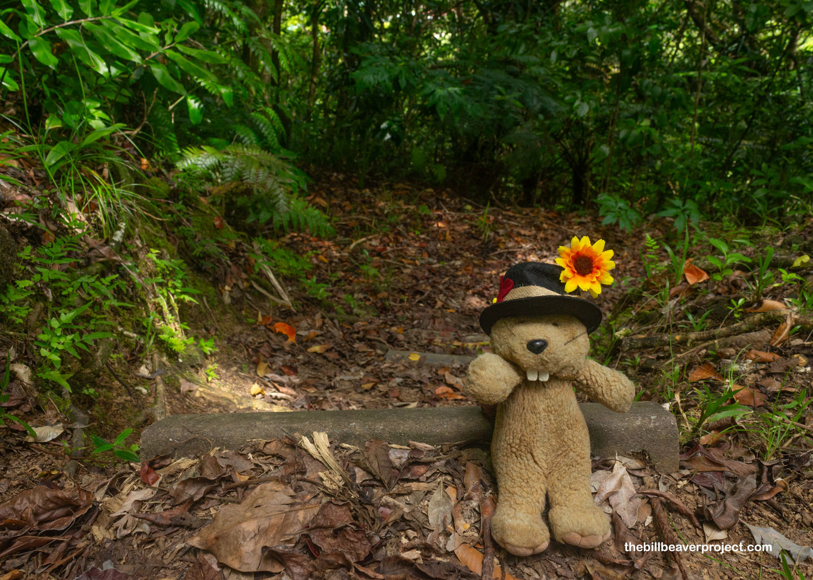
Speaking of “hike,” I still had a lot of day ahead of me and wanted to squeeze in a little appetizer ahead of tomorrow’s longer trek. After all, being this far south of the Equator meant a later sunset than in LA, which gave me plenty of time to traverse the Tuafanua Trail, a 2.2-mile round-trip jaunt that began, awkwardly, at a parking sign in someone’s front yard!
 |
No one seemed surprised or upset to find me walking past their house, so into the jungle I went! It was lush and shaded, which was great against the sultry summer heat! The jungle was close on all sides, so without views, I turned my attention to neat things on the forest floor, like the deceptive fruit of a leva, or sea mango (Cerbera manghas)! Round, red, and shiny like a d’anjou pear or a pomegranate, this was one appealing fruit, but it was tough, woody, and, like the futu from earlier, toxic! I kept walking.
 |
 |
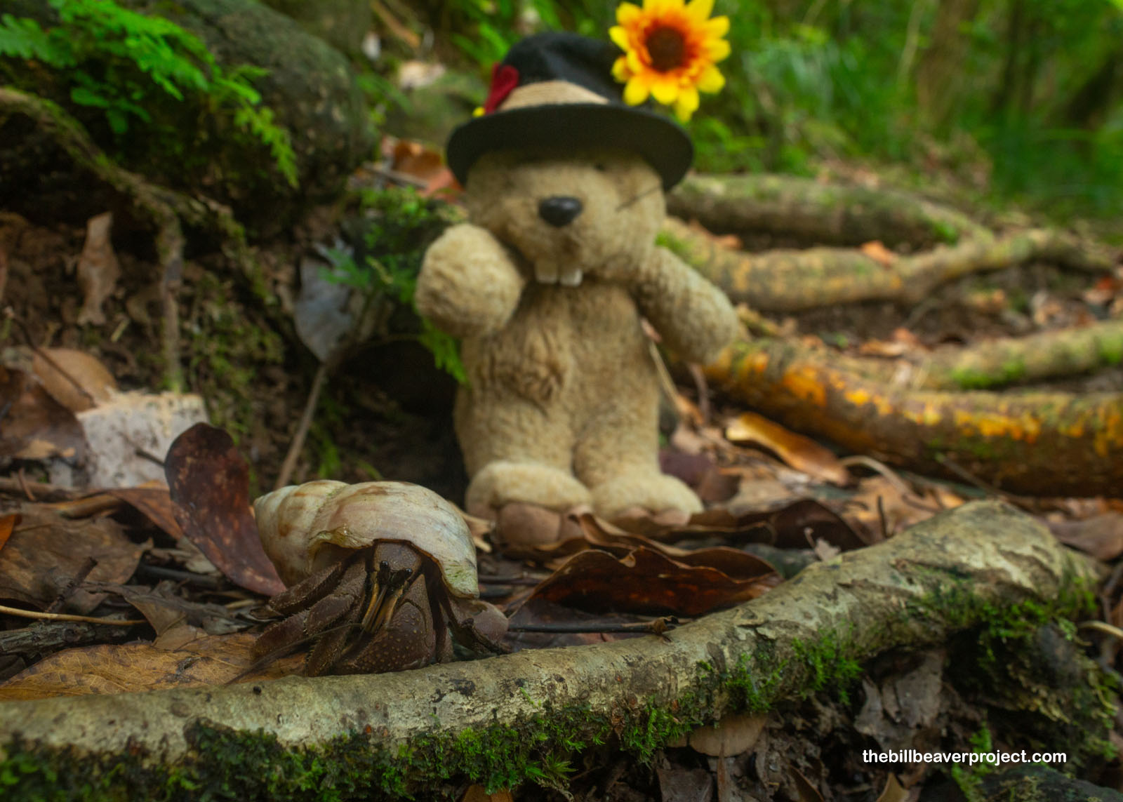
Oh! But there was plenty to see on the forest floor. It was practically moving! Shells of all sizes rustled through the leaves, and in them: baby coconut crabs! These relatives of hermit crabs start their lives in the ocean before coming to land permanently—adults breathe with lungs and can drown in water! In those adult years, they can reach up to 9 pounds, making them the largest native land animal on American Samoa and the largest land arthropod in the whole world! I, for one, was happy enough to meet some babies and assure them that I wasn’t going to eat them with garlic butter, tempting though it might have been. Had I met Mama, I would have needed some serious reassurance of my own!
 |
The trail switched back up the mountainside finally reaching the steep summit with the sound of crashing waves below. Up until this point, it had been a pretty mellow ascent, but I could tell it was about to get a lot more adventurous just over the hump!
 |
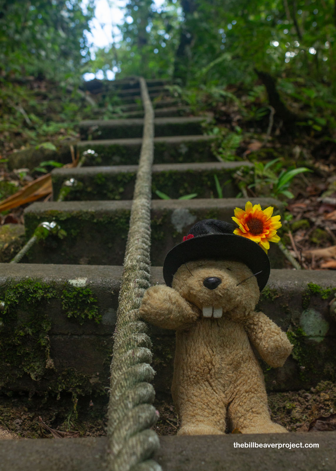
For starters, the way down was made up of a series of steep stairs, so steep they had a rope to help hikers get down and up again safely! That ended up being really fun, even when I lost my footing and wound up suspended in air, swinging myself back to the trail so I didn’t drop off the ledge!
 |
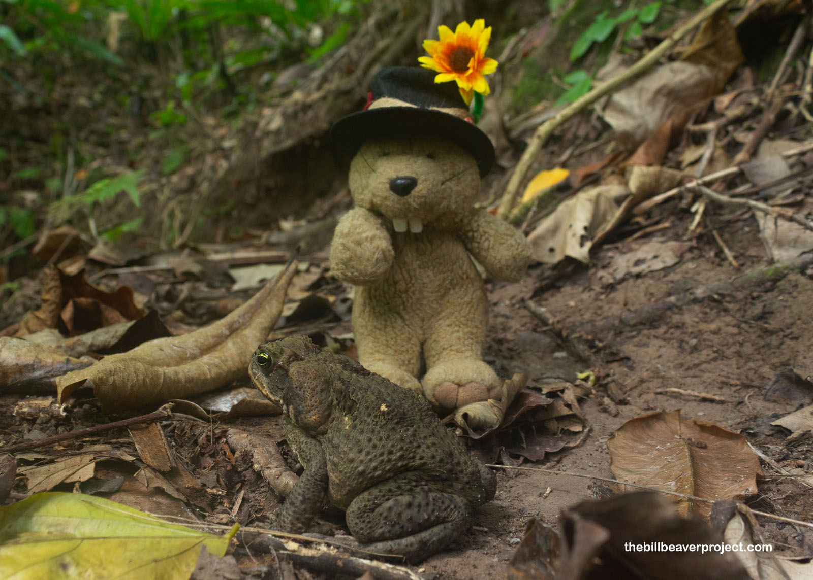
And the rest of the trail to the beach was full of toxic things! I didn’t see the first spider web stretched across the trail and wound up with my first spider bite! Luckily for me, some other hikers assured me there were only mild bites on this island. True enough, this one just turned red and itchy for a little while. But then I almost bumped right into a poisonous cane toad sitting on the trail! These huge toads won’t hurt you as long as you don’t lick them, but their poison has caused mayhem in ecosystems across the globe where they’ve been introduced to eat bugs in sugar cane fields!
 |
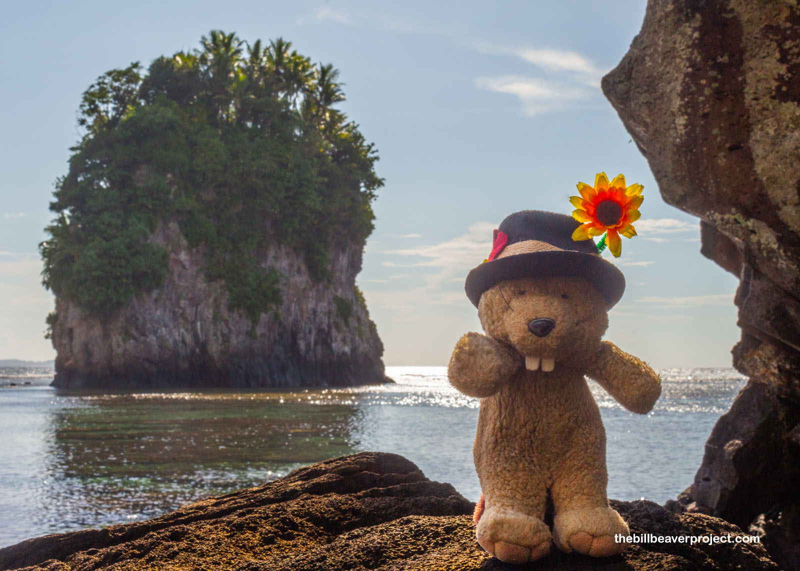
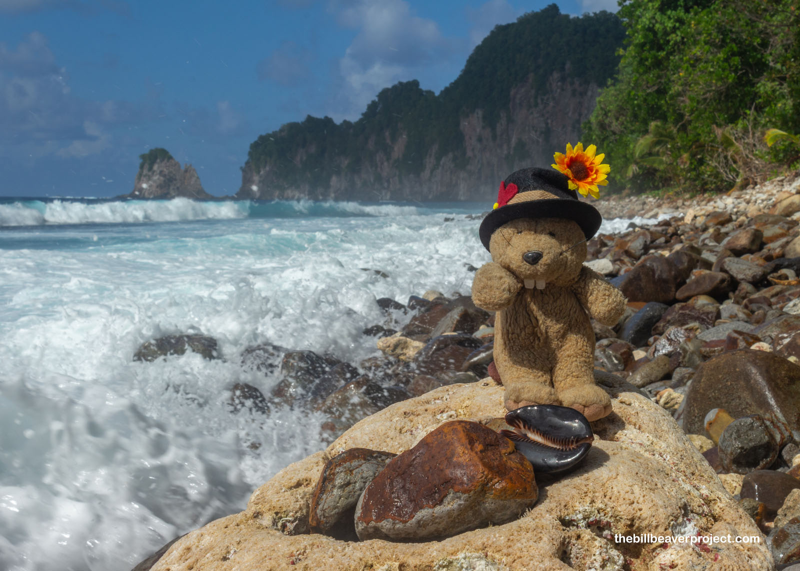
At last, I stepped out of the jungle and into the sunshine: a hidden beach! At one end, sheer cliffs! At the other end, views of the other side of Pola Island! Loaded with boulders and battered by waves, this was no beach for lounging or swimming, and I was amazed to find a huge, intact whelk and cowry nestled among the rocks! With no collecting here, I enjoyed how they looked with the tropical coastline as the backdrop, simply stunning!
 |
 |
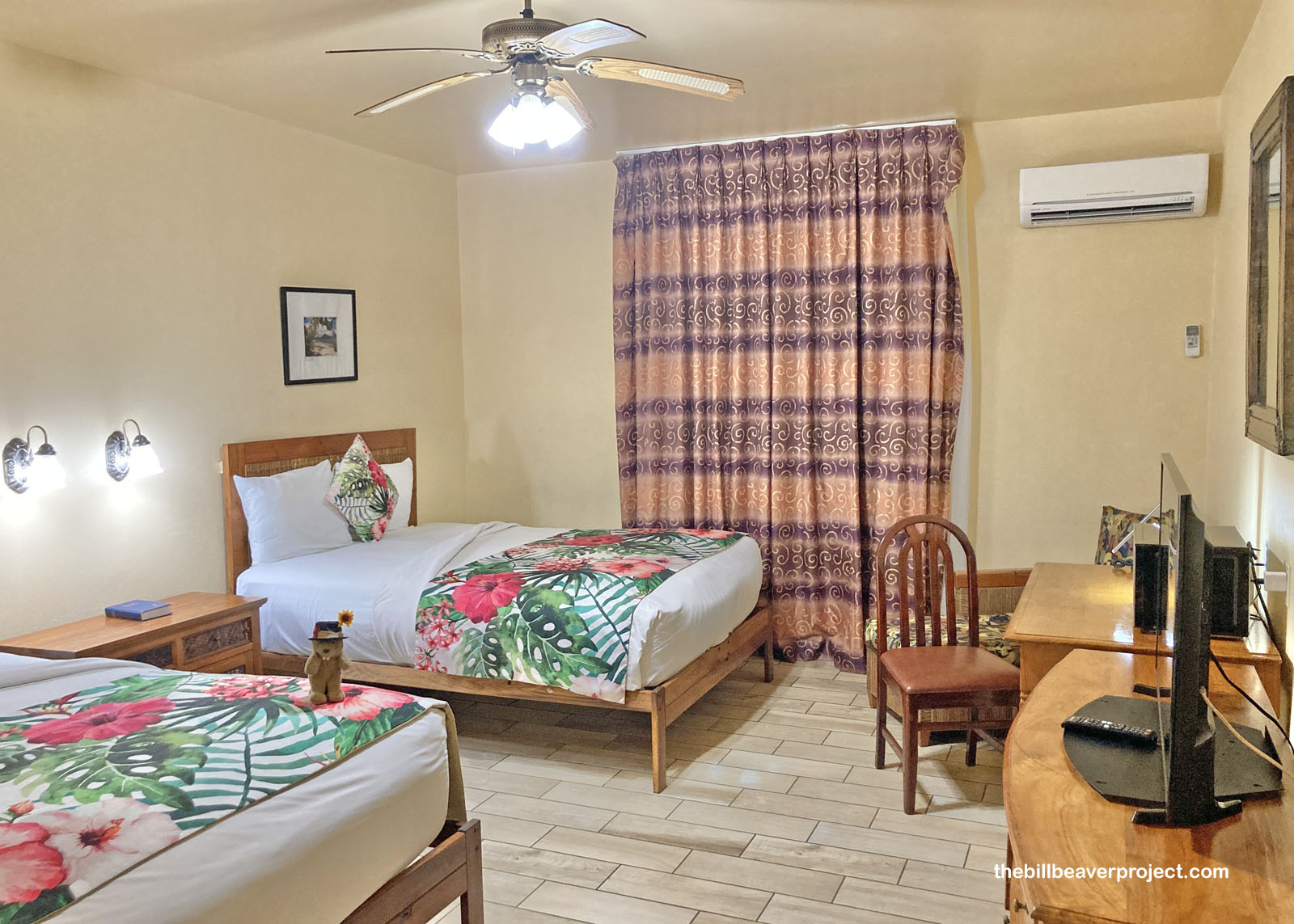
After enjoying the views, I schlepped back up the ladders and into Vatia while being drenched in a surprise rainstorm (thanks a bunch, Mt. Pioa)! It was only mid afternoon at this point, so after spending some time watching a colony of fruit bats go about their business, I returned to the Tradewinds Hotel, all the while being gobsmacked that the largest flying things here were neither gulls nor crows but bats! I thought a lot about American Samoa’s odd fauna during my forced relaxation by the pool.
 |
I’m going to pace out my four days here in American Samoa, partly because of the limited flights but also because it gets hot during the day! I plan to do my big hike tomorrow morning to beat the heat, and any surprise Rainmaker storms along the way. For now, a siesta in paradise!
Feiloa’i taeao!

More 2025 Adventures |
Total Ground Covered: 36.5 mi (58.8 km) |
Next Day |