
 Previous Day |
Honolulu, HI 25 mi (40.2 km) |
 More 2025 Adventures |
Aloha kakahiaka, e nā kānaka a pau!
I didn’t take any photos of my final day in the land of Talofa. I was rained out of visiting the Fogamaʻa Crater National Natural Landmark and spent the rest of the morning wandering gift shops before getting kicked out of the hotel at noon. The Ocean Center was closed. The Jean P. Hayden Museum was being renovated. I wandered all the way to the opposite end of Tutuila, only to find that the NOAA Observatory was also closed for the day. Long story short, I spent a lot of my Monday hanging out on the shore of Pago Pago Harbor, a feeling I’m really not used to! But I made it back to the airport with plenty of time before my 11:20 PM flight back to Honolulu. This was ideal because missing that flight meant being stranded until at least Thursday!
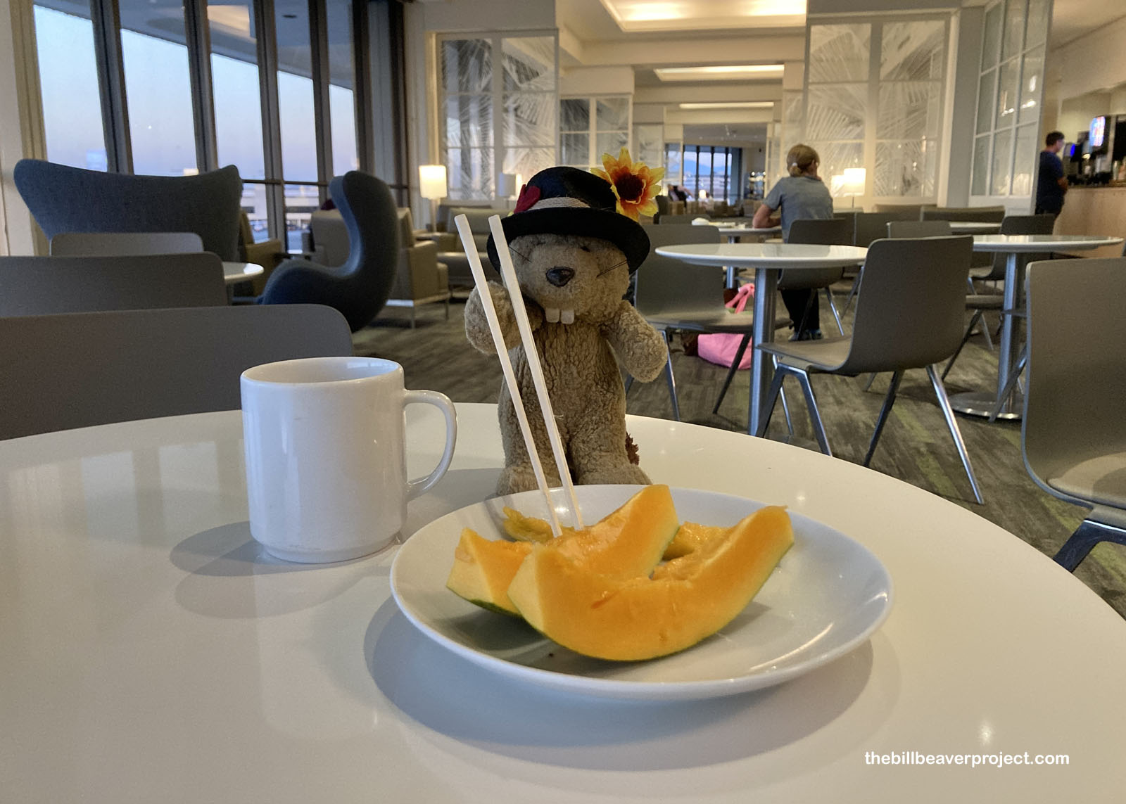
Anyway, I had a 10-hour layover in Honolulu, and I wasn’t going to let it go to waste. First, I bought a day pass to the United Lounge, which had a scrumptious breakfast buffet to help me power up in my first few hours of grogginess. Unlimited coffee, papaya, and Dole Whip gave me just the start I needed to catch an Uber east to Waikiki!
 |
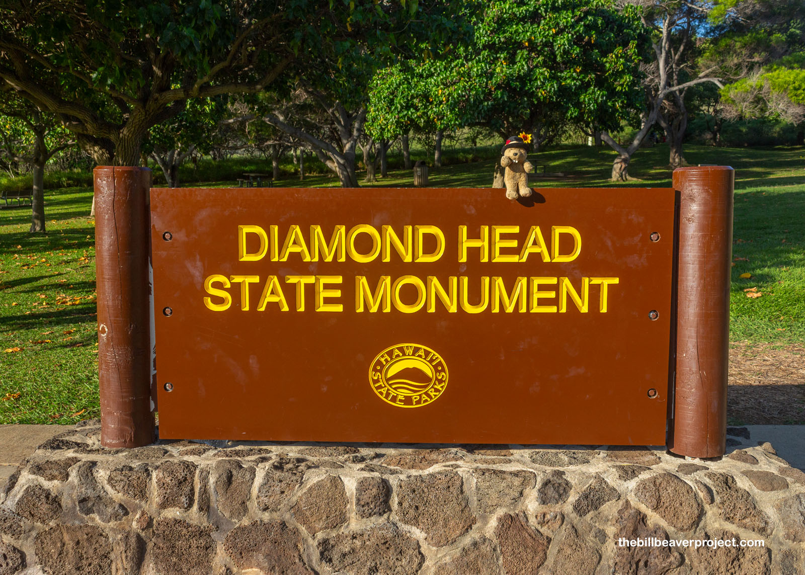
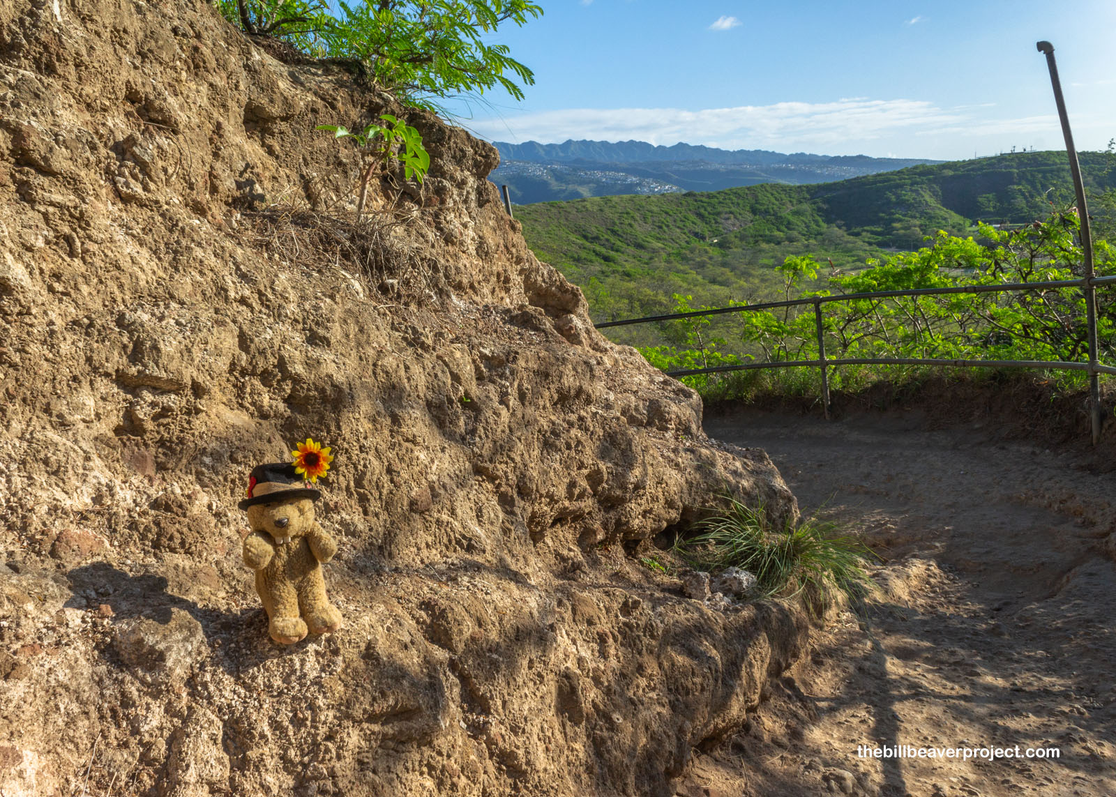
The last time I was in Waikiki, I didn’t make reservations to hike Diamond Head, but this time, this haole peawa proudly presented an 8:00 AM entry reservation to the ticket taker, and entered the bustling—even on a Tuesday—parking lot of Diamond Head State Monument without a hitch!
 |
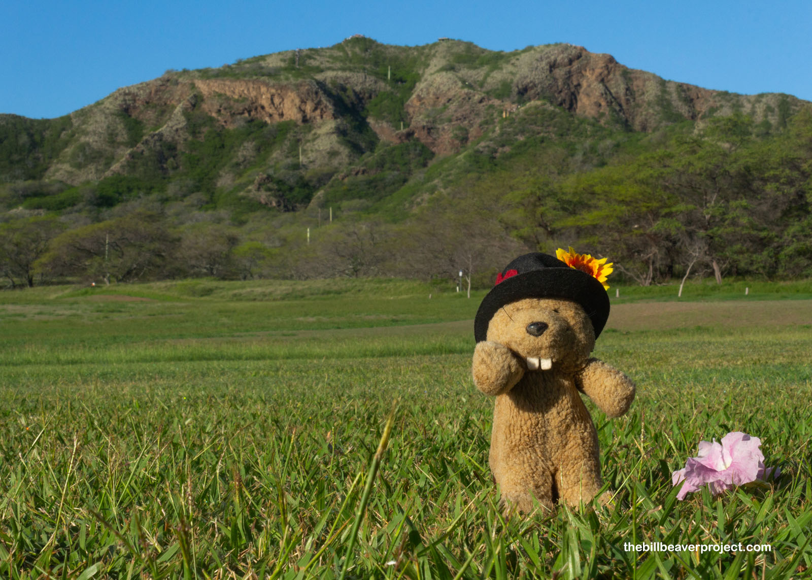
From this vantage point, it was hard to conceive that I was inside an ancient volcanic crater! All I could see was the distant peak where I was destined, so for all intents and purposes, I was just making a 1.6-mile roundtrip hike up a mountain. I expected some very cool views from the top, though!
 |
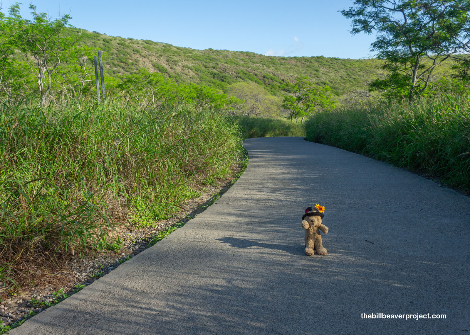
The path started as an easy, flat, paved trail with plenty of room for groups to pass each other. Gradually, though, the path turned to dirt and narrowed quite a bit, forcing some squeezing past groups of tourists from all across the globe, though mostly from Japan!
 |
 |
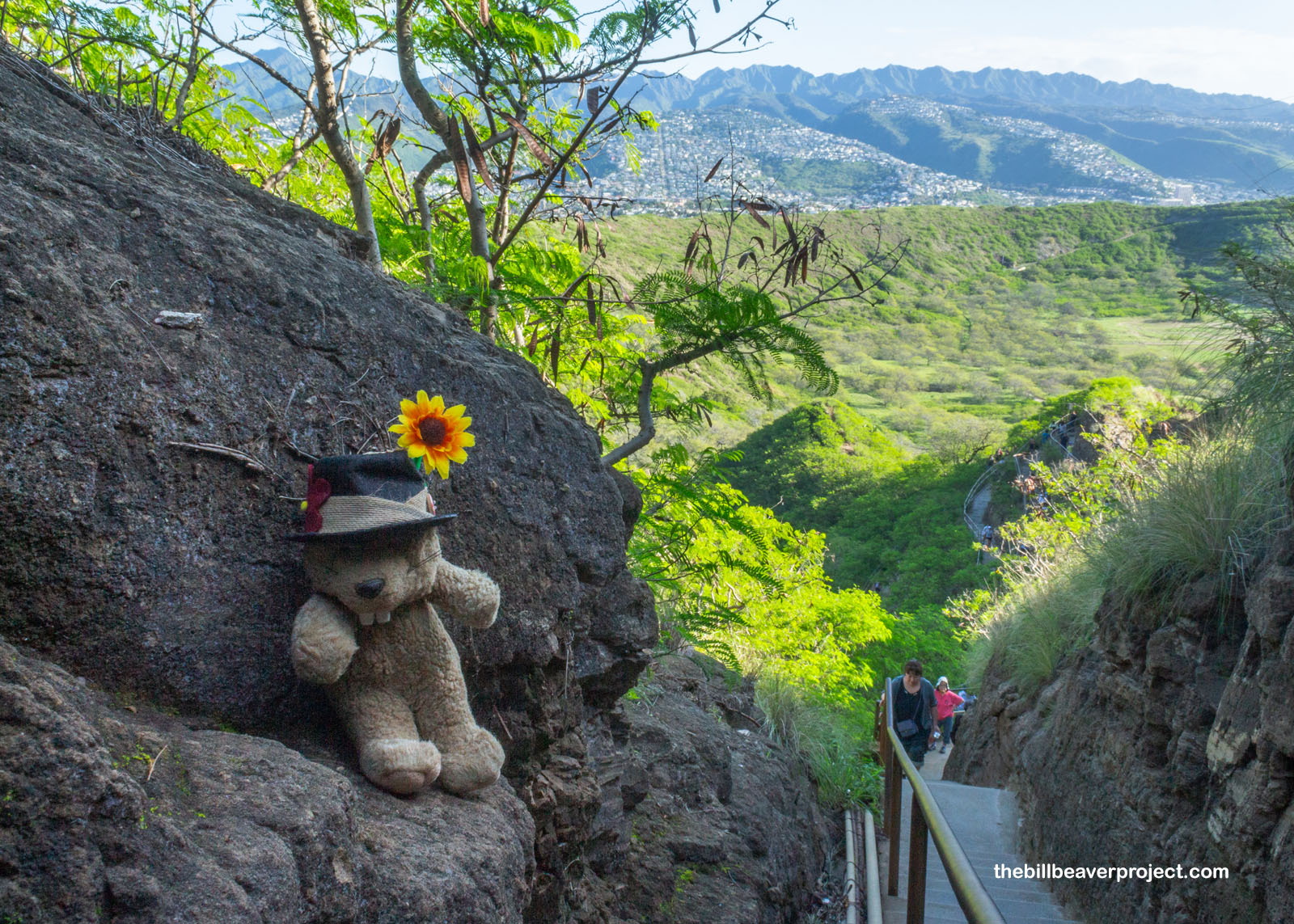
And then there were stairs! I could see immediately why there had to be timed entry here for off-islanders, because these stairways were super long and narrow, impossible for big groups to get past each other and pretty tricky for individuals as it was! But looking back, I could really see how the crater was taking shape behind me!
 |
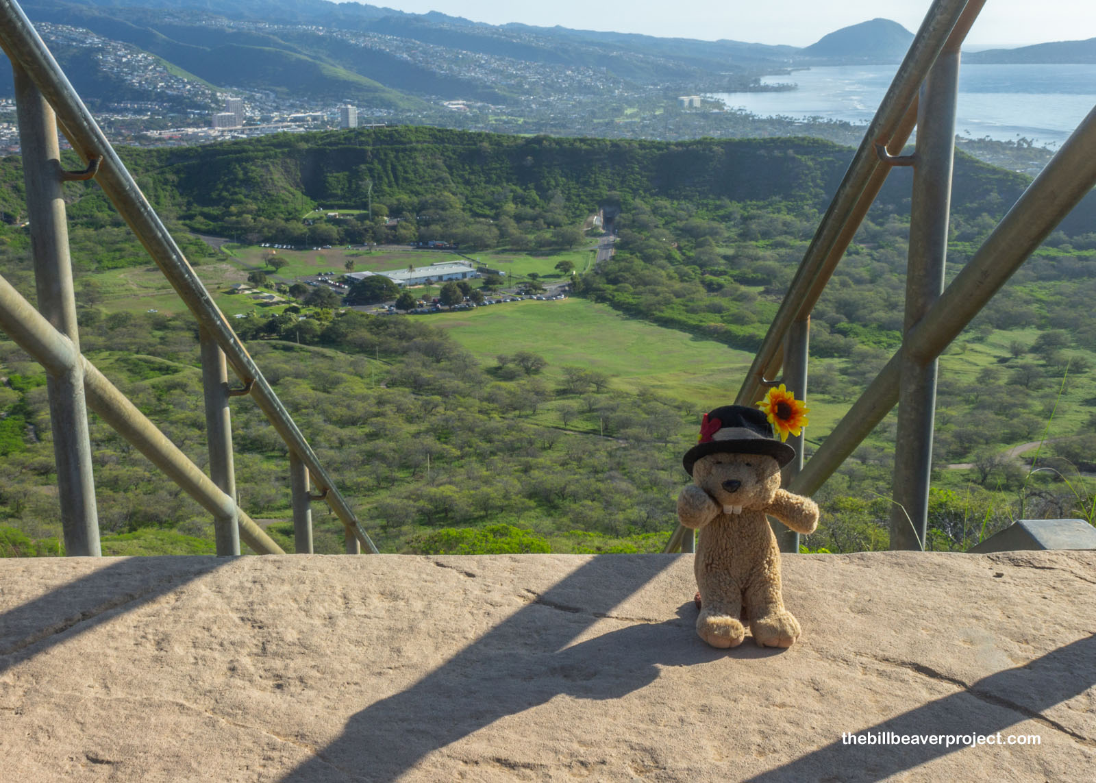
After a tunnel and another flight of metal stairs, and I could see practically the whole crater, not to mention views far down the shore, to the next volcanic mount, Koko Head! You’re probably wondering how these names came about! Well, in geographical terms, a head or headland is a high, steep landform jutting out into the ocean, while the “diamonds” on the slopes of this ancient volcano are actually calcite crystals that were misnamed by British sailors in the 1700s! So as the crater is technically neither a head, nor covered in diamonds, we may as well call this National Natural Landmark Lēʻahi, or “brow of the tuna,” though it is neither a brow nor made of tuna!
 |
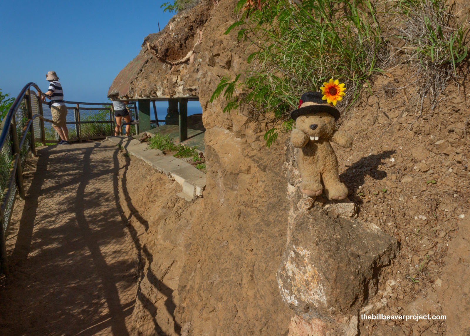
And this—not tourist dollars—is the reason why there’s a trail to the summit in the first place! This is the Fire Control Station, built between 1908 and 1910, not to watch for wildfires but to scan for danger and direct artillery fire from Batteries Randolph and Dudley at Fort DeRussy in Waikïkï and Battery Harlow at Fort Ruger! See, the U.S. government purchased Diamond Head Crater in 1905 and installed this four-level complex and several more facilities around the crater rim to scan for dangers at sea. While these high lookouts did pick up anti-aircraft capabilities after World War I, the Fire Control Center directed no fire at all in either World War!
 |
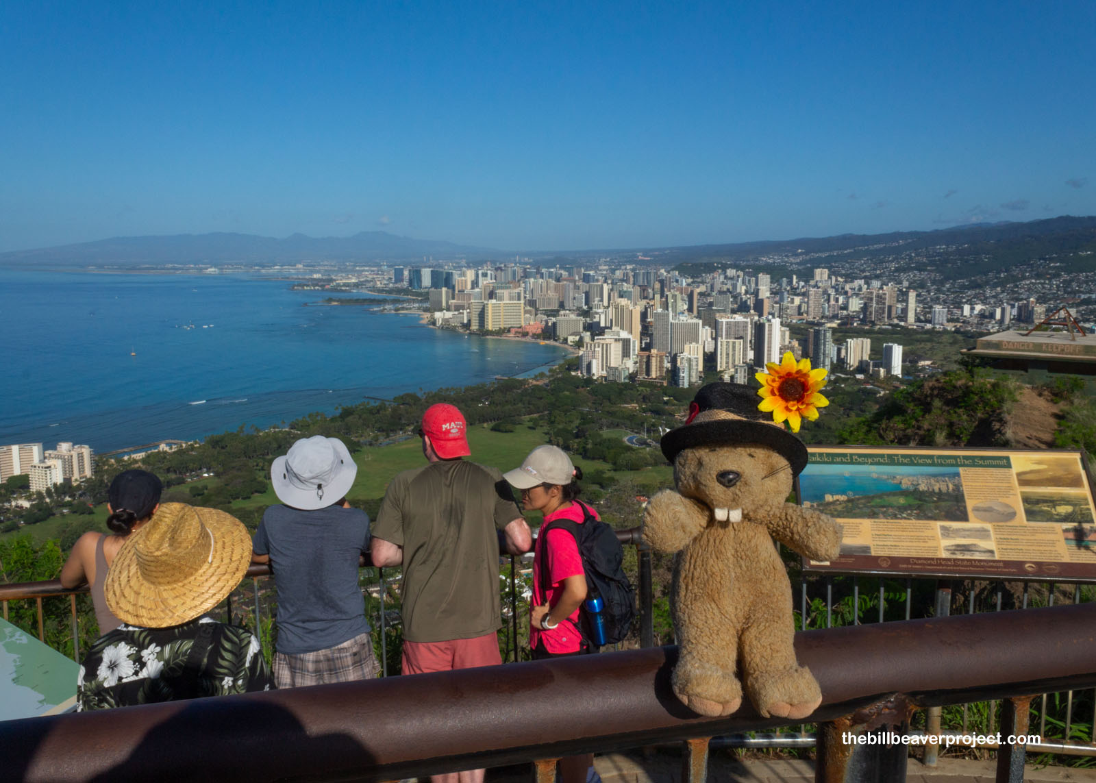
Rather than descend the spiral staircase inside the Fire Control Center, I continued up to the summit, and wow! The views from up here were positively breathtaking, spanning the entirety of Waikiki to the ends of Oʻahu! It was quite the contrast to Tutuila, this sloping city-sprawled island compared to the steep Samoan mountains and little villages. And yet, I kind of liked Honolulu, enough that, even after I hiked back down to the bottom, and missed the trolley connecting Diamond Head and Waikiki, I just kept walking!
 |
I walked a good three miles through Honolulu neighborhoods, past houses and schools and post offices, the likes of which don’t make the tourist brochures, but I picked up some snacks along the way and really enjoyed the stroll. When I’d had enough, I caught another rideshare back to the airport and made the most of my remaining layover in the lap of luxury, a.k.a. the United Lounge, until it was nearly time to fly. Up next, a 7-hour journey west, across the International Date Line but not as far as Asia. I’ve a date with history in my next U.S. Territory: Guam!
E ʻike wau iā ʻoe ma laila!

Previous Day |
Total Ground Covered: 108.5 mi (173.6 km) |
More 2025 Adventures |