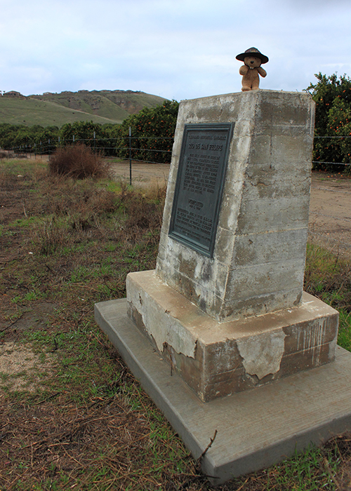
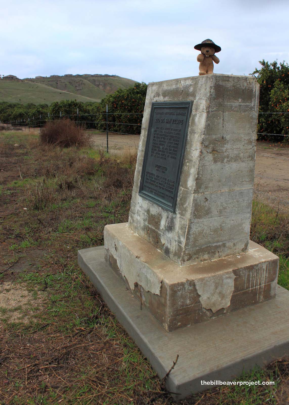
Place Where Francisco Garcés Crossed the Kern River!

Place where Francisco Garcés Crossed the Kern River
Landmark #278 Kern County Visited: January 26, 2013 Plaque?  YES! 🙂
What is it? A plaque on the side of the road!
What makes it historical? THE GUIDE SAYS: On May 1, 1776, Franciscan friar Francisco Garcés crossed the Kern River one mile north of here. Searching for a shorter route from Sonora, Mexico to Monterey, California, he was the first known explorer to describe this river, which he named Río de San Felipe.

OTHER TIDBITS: That pretty well sums it up!

How can I Help the Helpers? HERE’S HOW:

  • Become a member of the Native Sons of the Golden West!
  • Donate to the Native Daughters of the Golden West!
  • Be a responsible visitor! Please respect the signs and pathways, and treat all structures and artifacts with respect. They’ve endured a lot to survive into the present. They’ll need our help to make it into the future!
Where is this place? LISTED DIRECTIONS:
State Hwy 178 (P.M. 10.9) at Rancheria Rd
11.0 mi E of Bakersfield, CA 93306

ANNOTATIONS:
Yup! That’s correct!

From Los Angeles: ~125mi (202km) — 2.1hrs
From Sacramento: ~287mi (462km) — 4.8hrs
From San Diego: ~244mi (393km) — 4.1hrs
From San Francisco: ~293mi (472km) — 4.9hrs

When should I go? Whenever the mood strikes you!

Click here to see more California historical landmarks!

Leave a Reply

Your email address will not be published. Required fields are marked *

This site uses Akismet to reduce spam. Learn how your comment data is processed.