 |
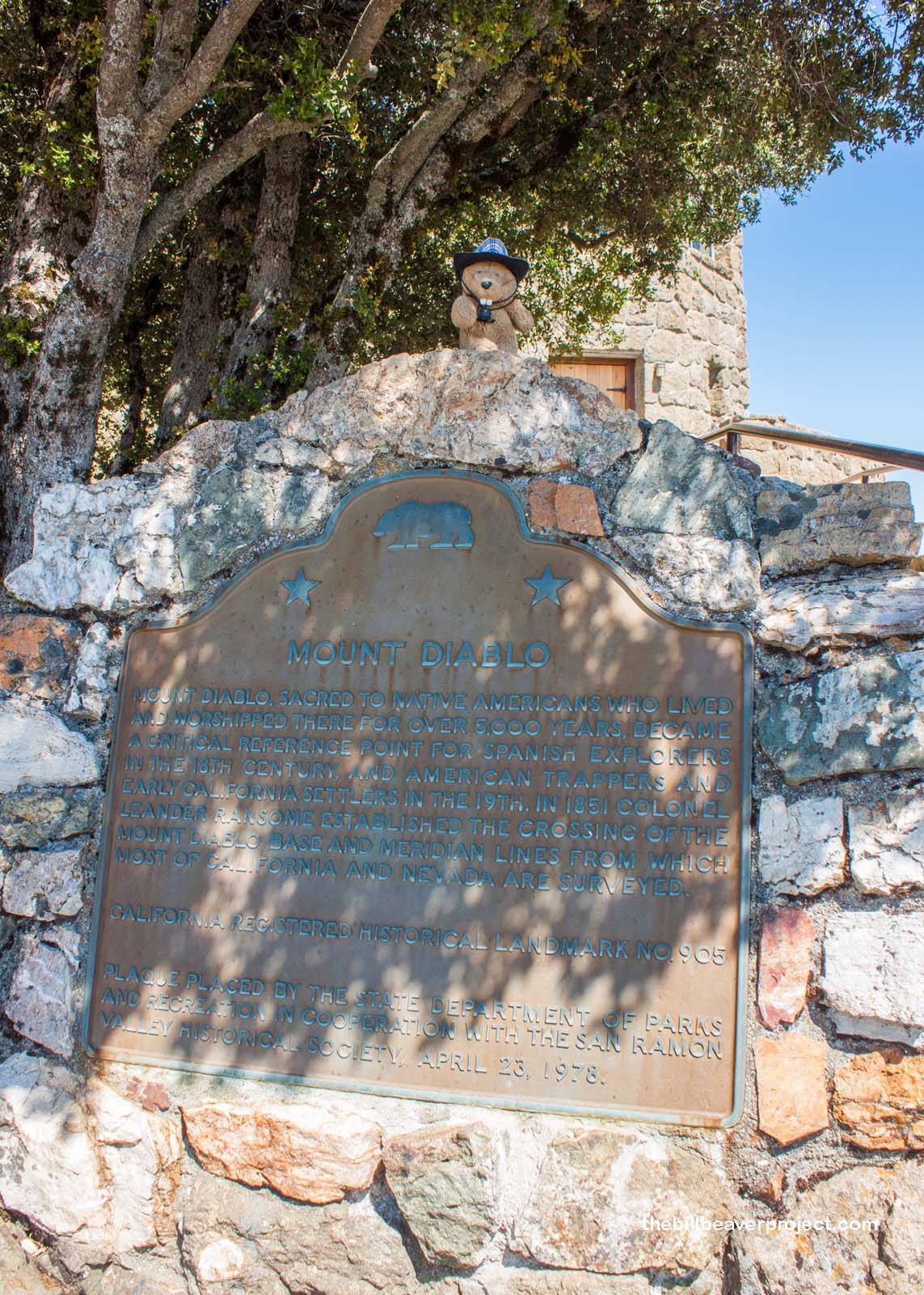
| Landmark #905 | Contra Costa County | Visited: July 12, 2014 | Plaque? YES! 🙂 |
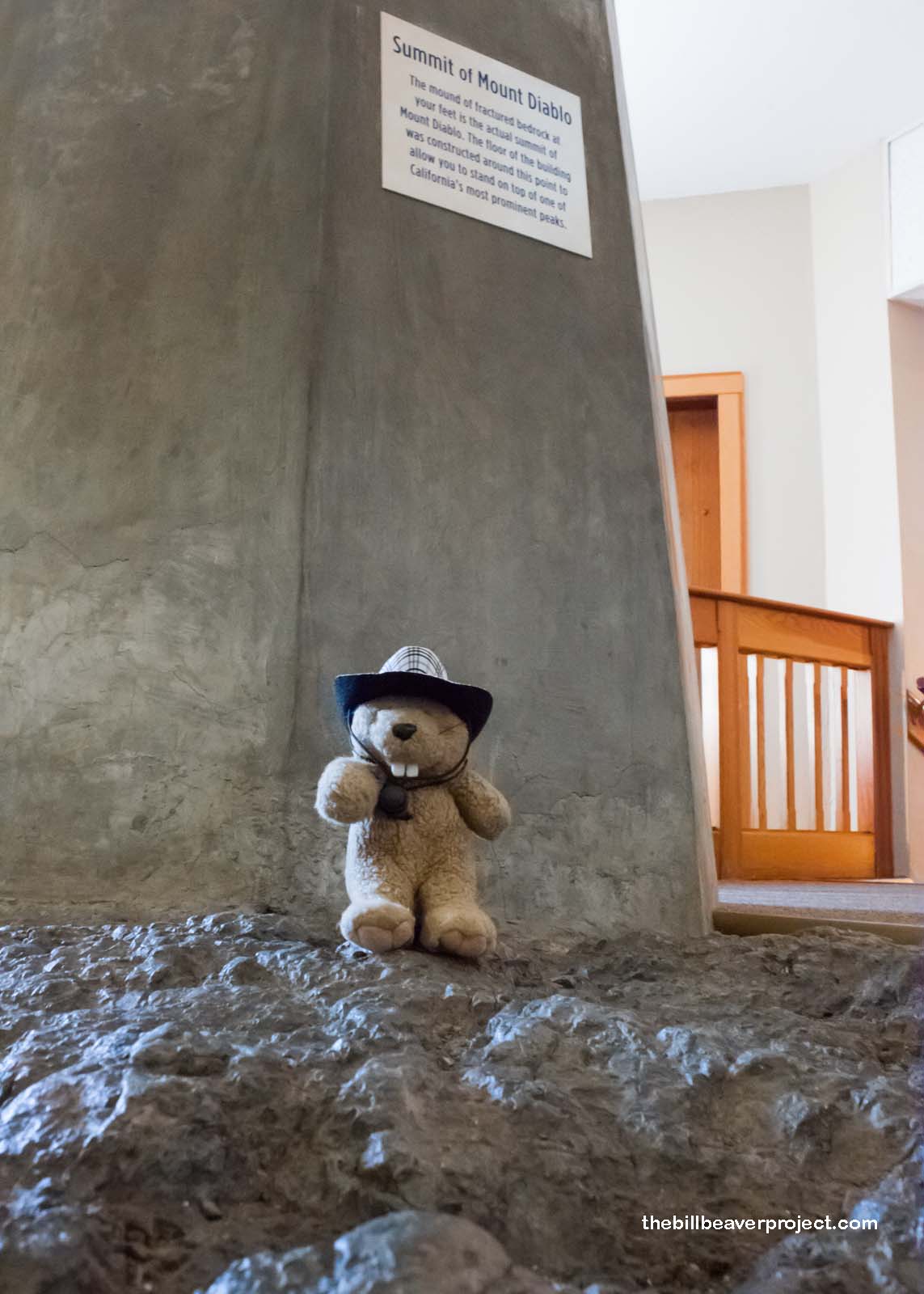
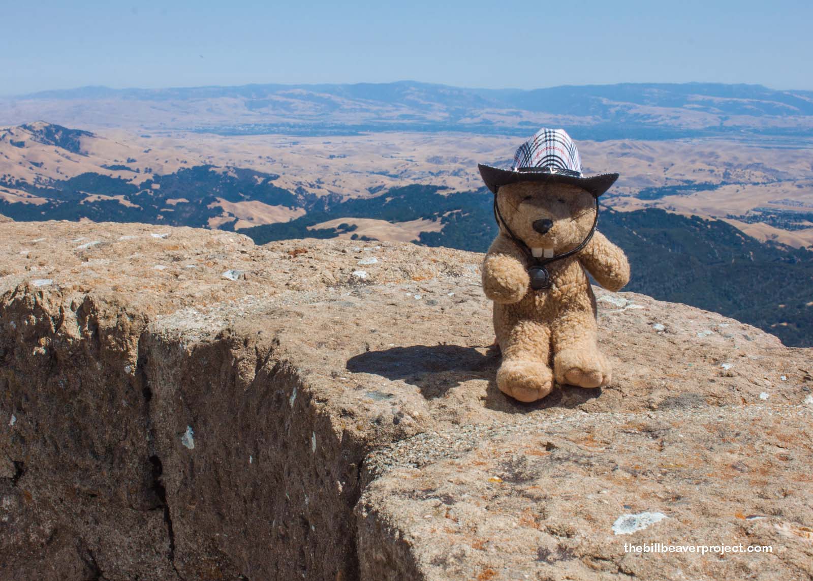
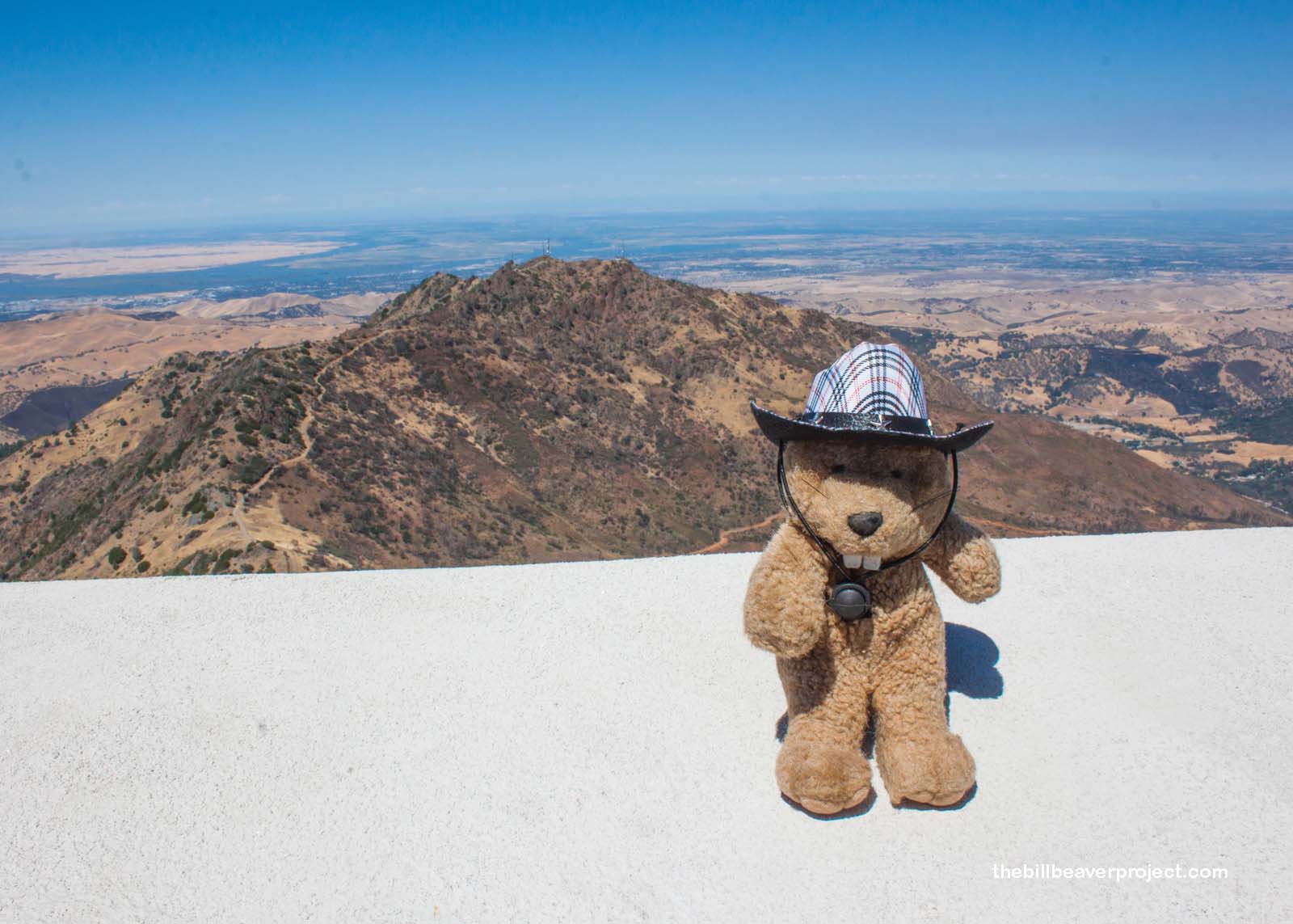
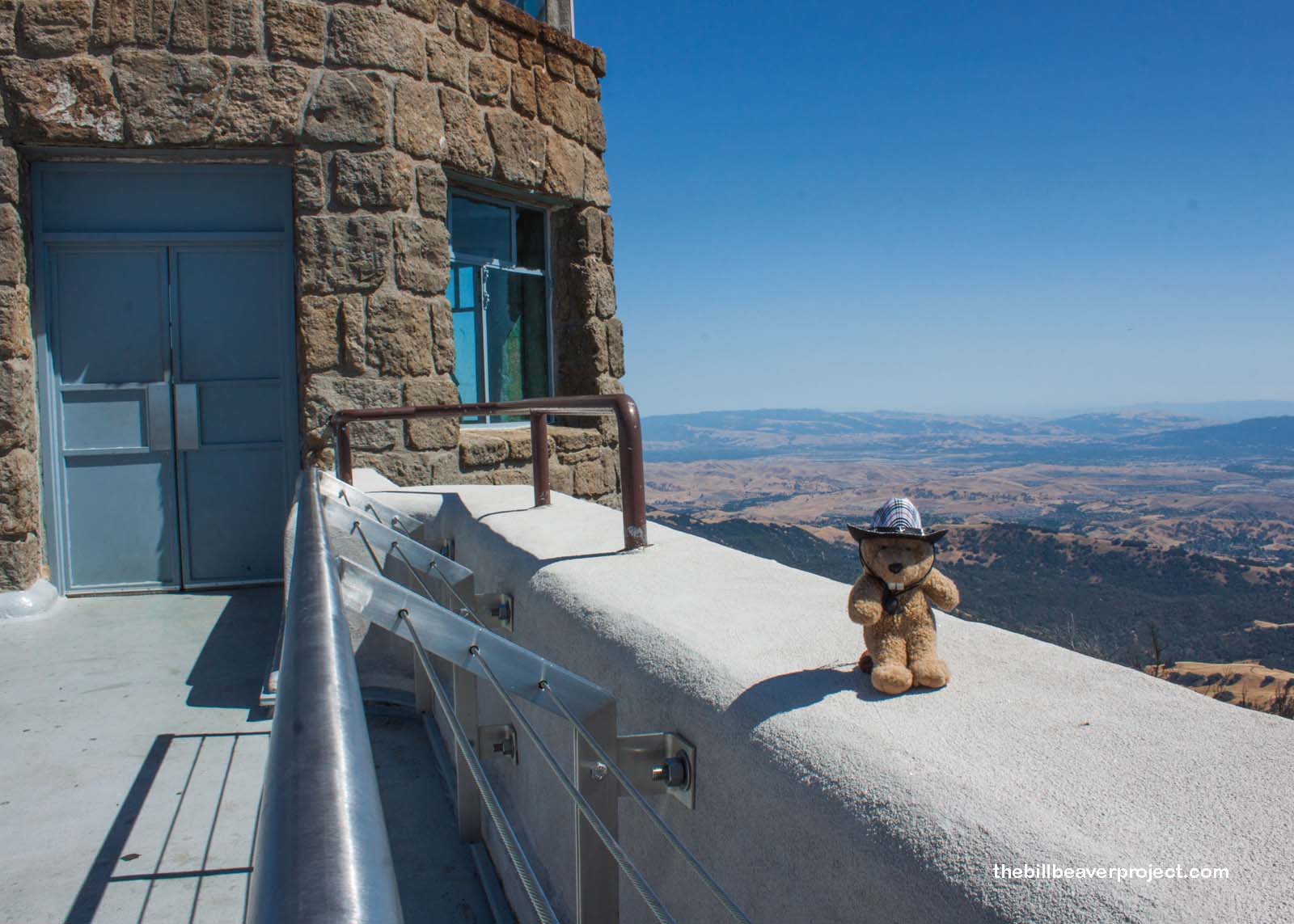
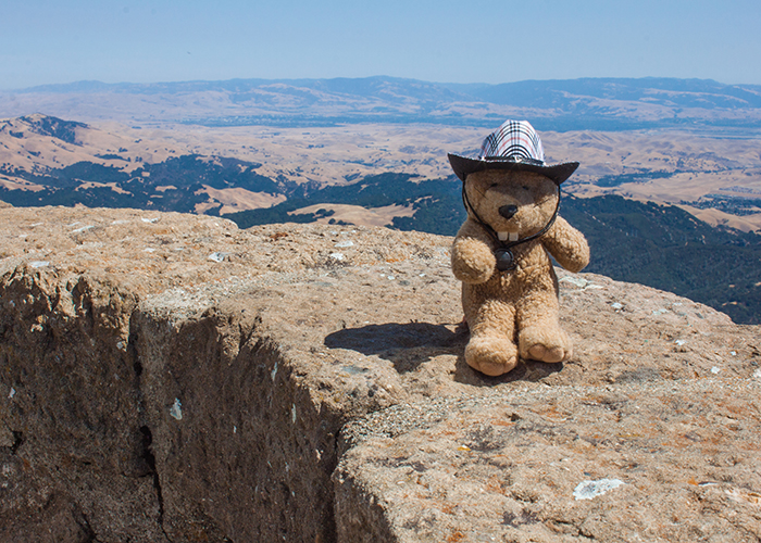
| What is it? | Contra Costa County’s highest peak with one of the best 360° views in the whole world! |
| What makes it historical? | THE GUIDE SAYS: Mount Diablo had been a home with spiritual significance to the Costanoan Indians for at least 500 years when Spanish explorers viewed the mountain in 1772. In 1851 Mount Diablo was selected as the initial point for land surveys of Northern California and Nevada, with the Mount Diablo Base and Meridian Lines originating at its peak. Due to the mountain’s variations in wind, rainfall, and temperature, it is also a preserve for a wide variety of plant and animal life.
OTHER TIDBITS: Mount Diablo takes its name from California’s mission era when the Spaniards were trying to round up some of the natives to bring them to the Church. Miraculously, the natives escaped, aided, as the missionaries believed, by the Devil! I think it may have been Wek-Wek, the falcon man, who was born on the mountain and created the native people, at least according to tradition! Originally, Contra Costa County was going to be named Mt. Diablo County by General Vallejo, but the general public agreed that it was not proper to name a county after the Devil! This was an ongoing battle, which included suggestions that it be named “Coal Hill,” but fortunately, the much neater name of Mount Diablo stayed put! Regardless of its name, Mount Diablo today features one of the world’s grandest views, second only to Kilimanjaro in sheer extent! This landmark is also listed on the National Register of Historic Places! |
| How can I Help the Helpers? | HERE’S HOW:
|
| Where is this place? | LISTED DIRECTIONS: Mount Diablo State Park, on summit 4.5 mi E of ranger station 14 mi E of Danville, CA ANNOTATIONS: From Los Angeles: ~371mi (598km) — 6.2hrs |
| When should I go? | The park is open every day from 8:00 AM until sunset, though the visitor center closes at 4:00 PM! |