 |
| Landmark #30 | Amador County | Visited: May 8, 2015 | Plaque? NO. 🙁 |
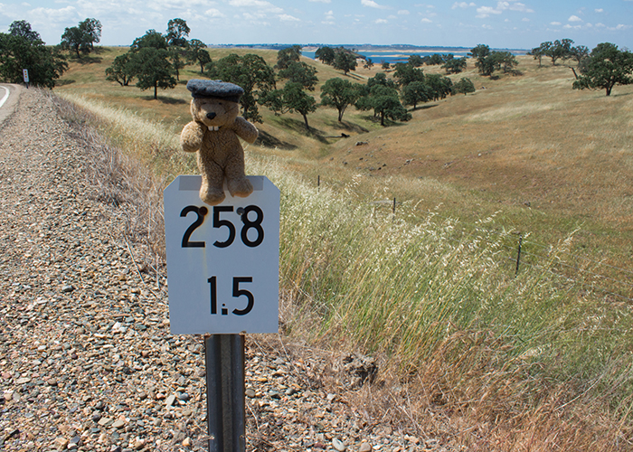
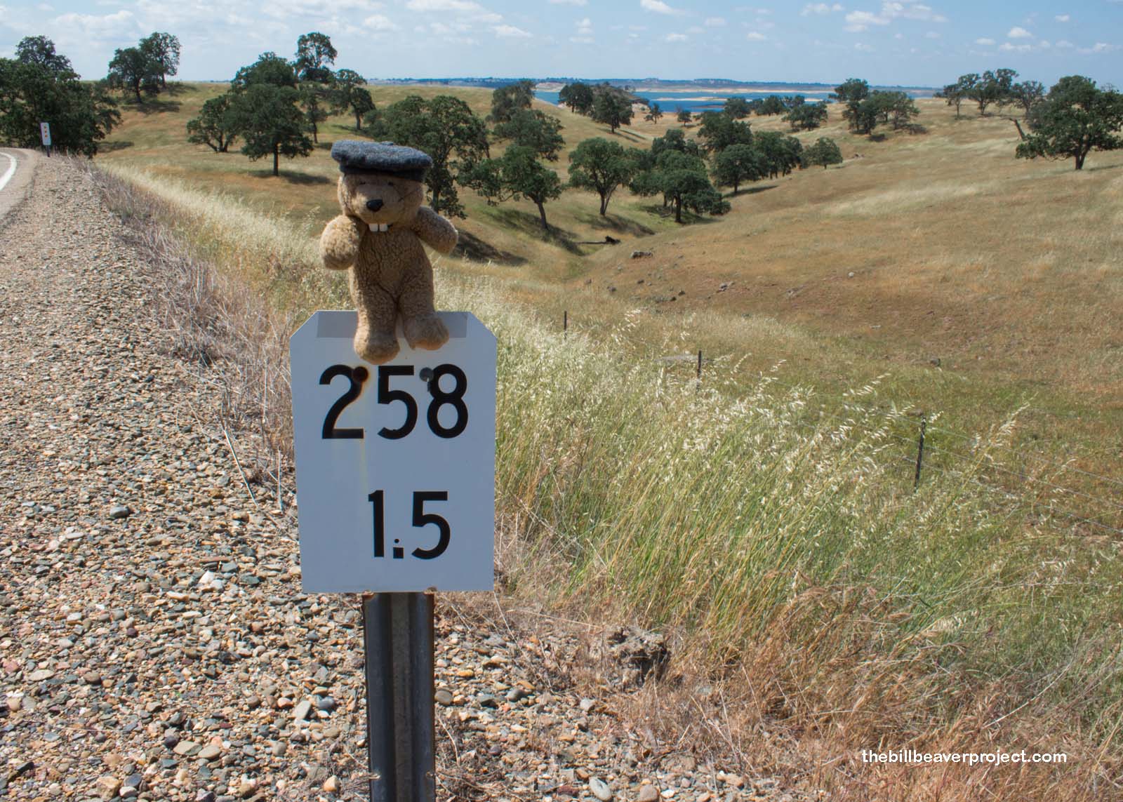
| What is it? | Lancha Plana was flooded by Camanche Reservoir, and no one bothered to put up a plaque! |
| What makes it historical? | THE GUIDE SAYS: Lancha Plana (Flat Boat) was well settled by 1850 due to the hydraulic mining operations in the extensive gravel beds along the Mokelumne River. The Amador Dispatch newspaper was born here in 1856. Poverty Bar, Camp Opra, Copper Center, and Put’s Bar were “suburbs” of the larger town.
OTHER TIDBITS: Named for the flat boat ferry transporting folks across the Mokelumne River, the town of Lancha Plana was founded by Mexican folks but became a gold town when Chinese immigrants discovered the precious metal under a store! The store had to be moved six miles north so the area could be mined! |
| How can I Help the Helpers? | HERE’S HOW:
|
| Where is this place? | LISTED DIRECTIONS: North shore of Camanche Reservoir 1 mi W of County Line Bridge on Lancha Plana Buena Vista Rd 6.0 mi S of Buena Vista, CA 95640 ANNOTATIONS: From Los Angeles: ~367mi (591km) — 6.2hrs |
| When should I go? | Whenever the mood strikes you! |