
 |
| Landmark #737 | San Bernardino County | Visited: November 17, 2012 | Plaque? YES! 🙂 |
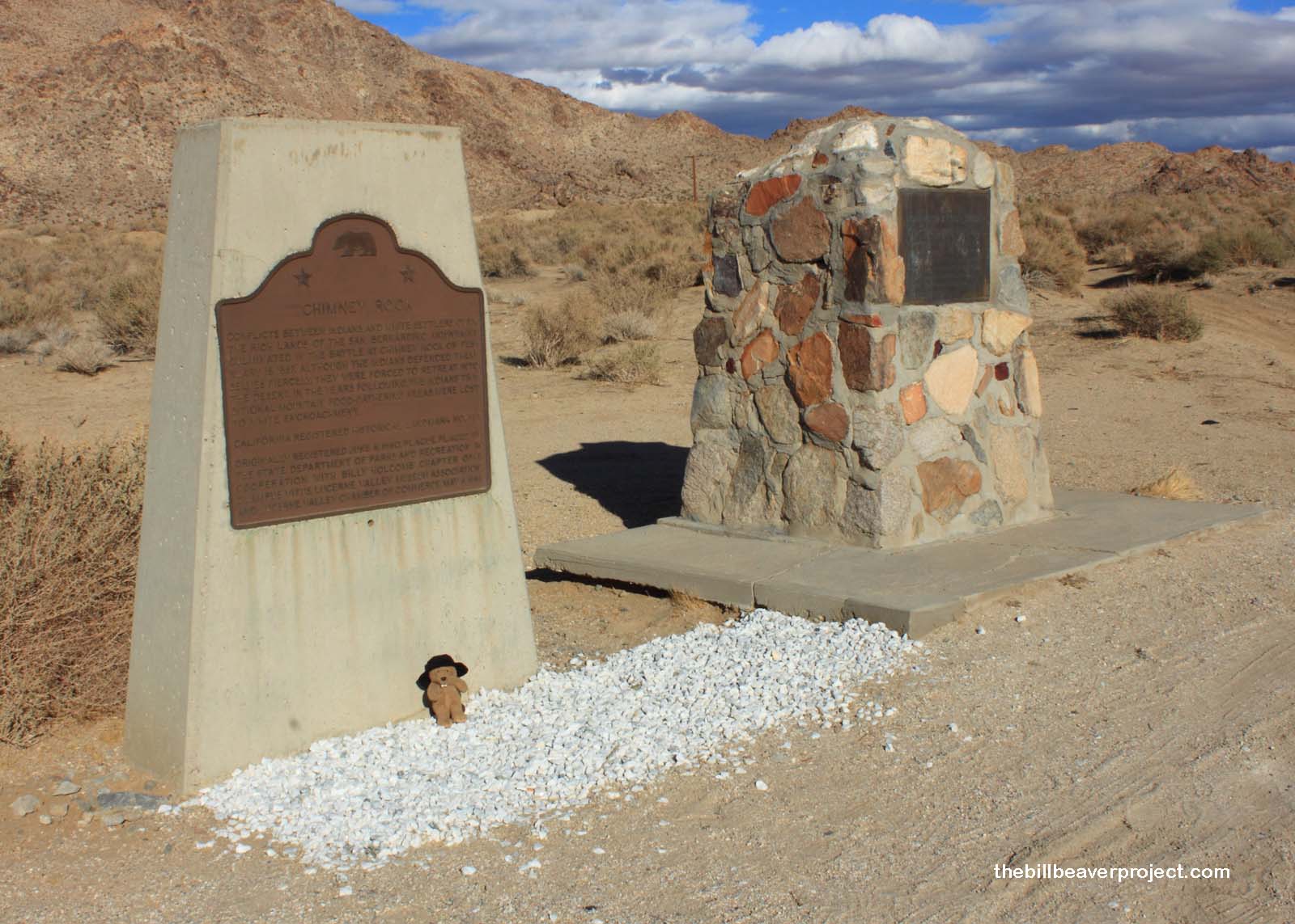
| What is it? | A double plaque on the side of the road! |
| What makes it historical? | THE GUIDE SAYS: Conflicts between Indians and white settlers over the rich lands of the San Bernardino Mountains culminated in the battle at Chimney Rock on February 16, 1867. Although the Indians defended themselves fiercely, they were forced to retreat into the desert. In the years following, the Indians’ traditional mountain food gathering areas were lost to white encroachment.
OTHER TIDBITS: This battle is often considered Southern California’s last great battle between Native Americans and white settlers! It started in January with the burning of Frank Talmadge’s sawmill in Blue Jay (near Lake Arrowhead) and the injury of Bill Kane and John Welty. For the next 32 days, a posse of 19 tracked the Paiute band out of the mountains and into the desert. There, the posse found a Paiute fortification, 100 strong, at the base of Chimney Rock! They battled for three days, and surprisingly, only two settlers were injured, four Paiute were killed, and four more were captured! The tribe retreated, and the posse, lacking in numbers, decided not to pursue! |
| How can I Help the Helpers? | HERE’S HOW:
|
| Where is this place? | LISTED DIRECTIONS: On State Hwy 18 (P.M. 76.9) at Rabbit Springs Rd 3.2 mi W of Lucerne Valley, CA 92356 ANNOTATIONS: From Los Angeles: ~99mi (160km) — 1.7hrs |
| When should I go? | Whenever the mood strikes you! |