 More 2013 Adventures |
Glendale, CA → Havilah, CA → Glendale, CA 338.0 mi (544.0 km) |
 More 2013 Adventures |
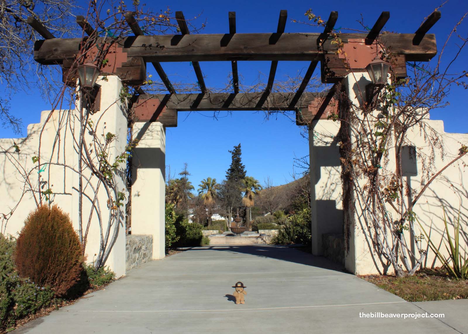
Not all adventures have extensive planning! In fact, some could not be more spontaneous! This particular adventure arose from three coinciding occurrences: Martin Luther King Day weekend, a deferred trip to Anacapa Island, and the first NPS Free Entrance Day of the year! So, rather than sit around and plan adventures all day, I set off to live one! Today’s quest: César E. Chávez National Monument!
 |
Located in Kern County near the town of Keene, this newest monument in the NPS system opened on October 8, 2012, close to the presidential election and to the hearts of prospective Latino voters. Political motivations aside, César E. Chávez now has a national monument bearing his name!
 |
My first question on arriving was why this became a national monument and not a national historic site, since it is limited to a visitor center and a memorial garden that houses the grave of the famed labor rights leader. At the moment, there are no hiking trails leading into the gorgeous oaken hills surrounding the monument, but three months since its announcement, this is still a monument in the making! They haven’t even changed the sign at the front yet from the National Chávez Center! It’s quite possible that George might not have even heard of the place yet!
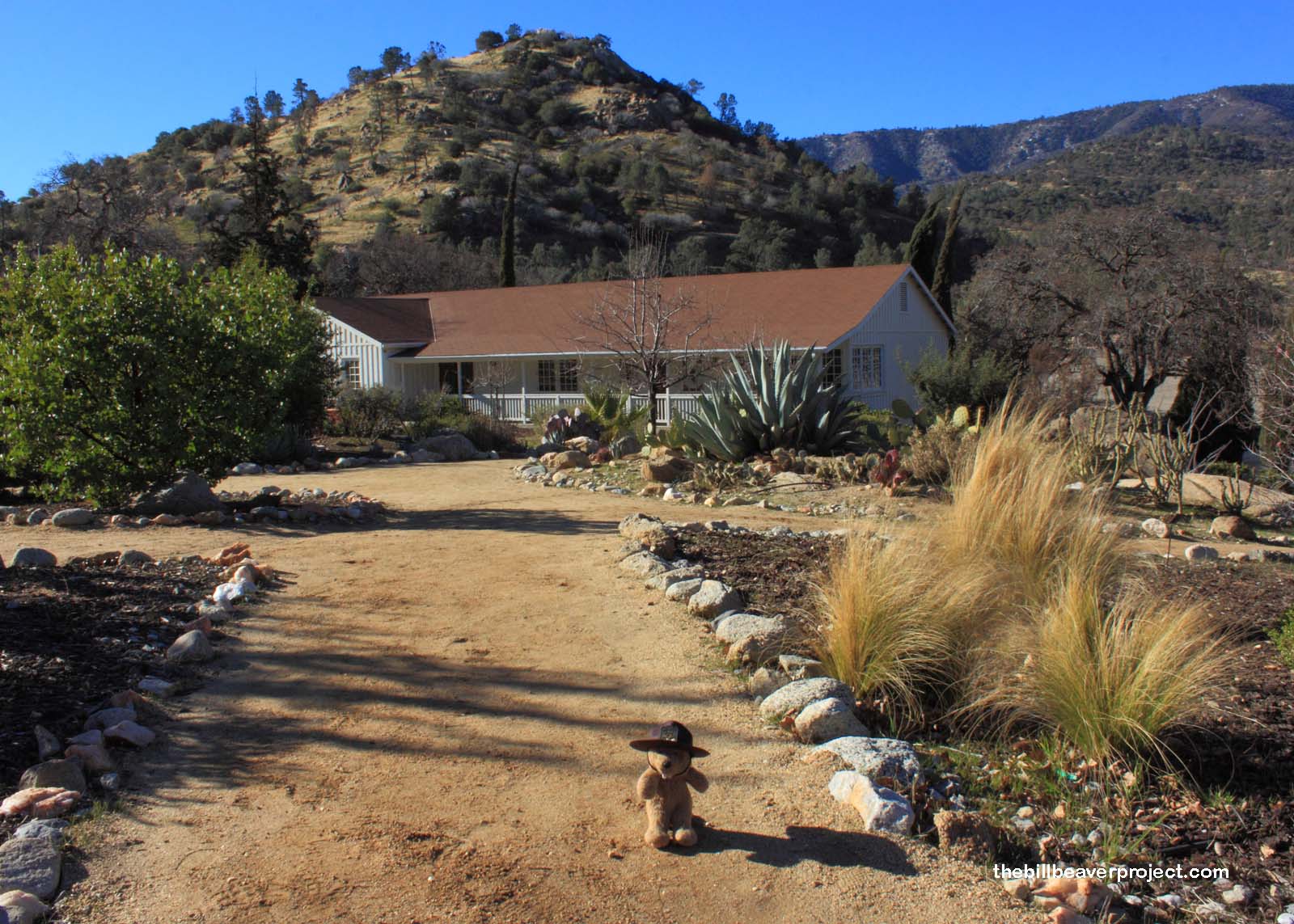 |
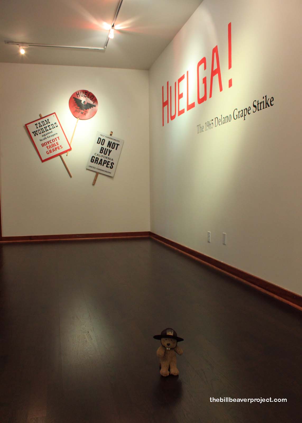
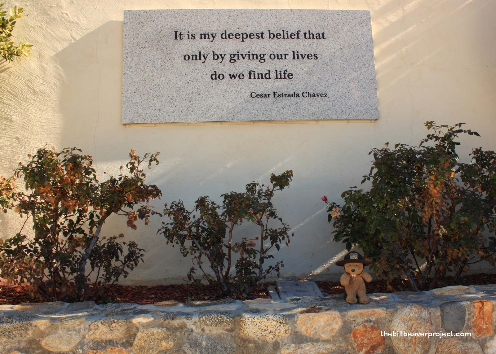
In any case, according to the lady in the visitor center, the reason this location came to be a monument is that there is already a César E. Chávez National Historic Landmark in Delano! However, that’s the site of Chávez’s most significant strike (huelga) in 1965, and it’s called Forty Acres, not César Chávez! Hmm… Whatever the reason for its naming, this monument celebrates Chávez’s life and work through the preservation of his headquarters. His office has been kept intact, from his bookshelves to the mess on his desk, to the special chair he needed to alleviate his intense back pain from years of working stooped over in vineyards. To save his fellow workers from the same sort of pain, among other pains, he spearheaded the founding of the United Farm Workers labor union!
 |
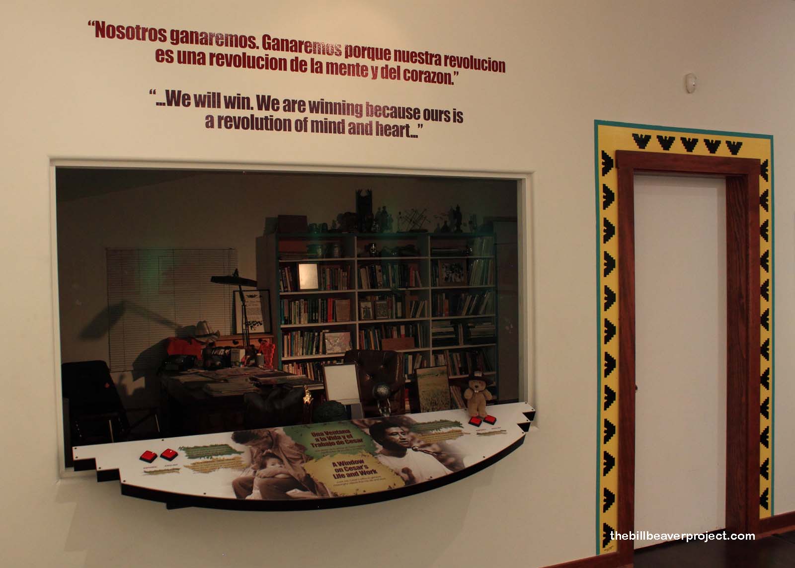  |
The visitor center is full of photos from the UFW Huelga of 1965, the faces and deeds of these workers immortalized in stark black and white! Their dispute with the grape industry over terrible wages, poor facilities, and workplace racism paved the way for new labor movements and standards like clean drinking water and toilet facilities, health and retirement benefits, and, most surprisingly, refraining from spraying pesticides (presumedly by plane) until after the workers had left the fields! Yikes!
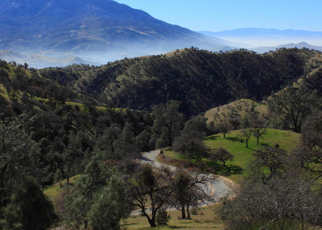
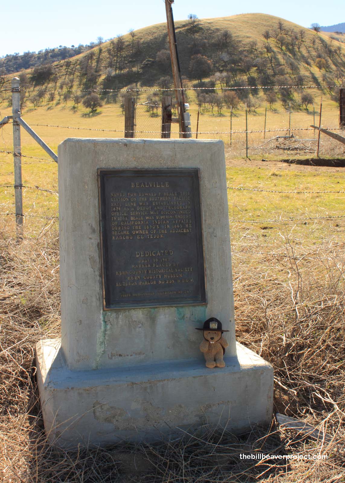
I enjoyed my visit to this new monument, but despite my slow wandering, and the fact that I arrived an hour before the visitor center opened, I only managed to fill an hour and a half in the day! That meant I could put to use my first in-depth Kern County Landmark Map! Kern County is riddled with mining and oil drilling sites that were important to the development of southern California as we know it today; however, this route hardly matched the barren desert of my expectation!
 |
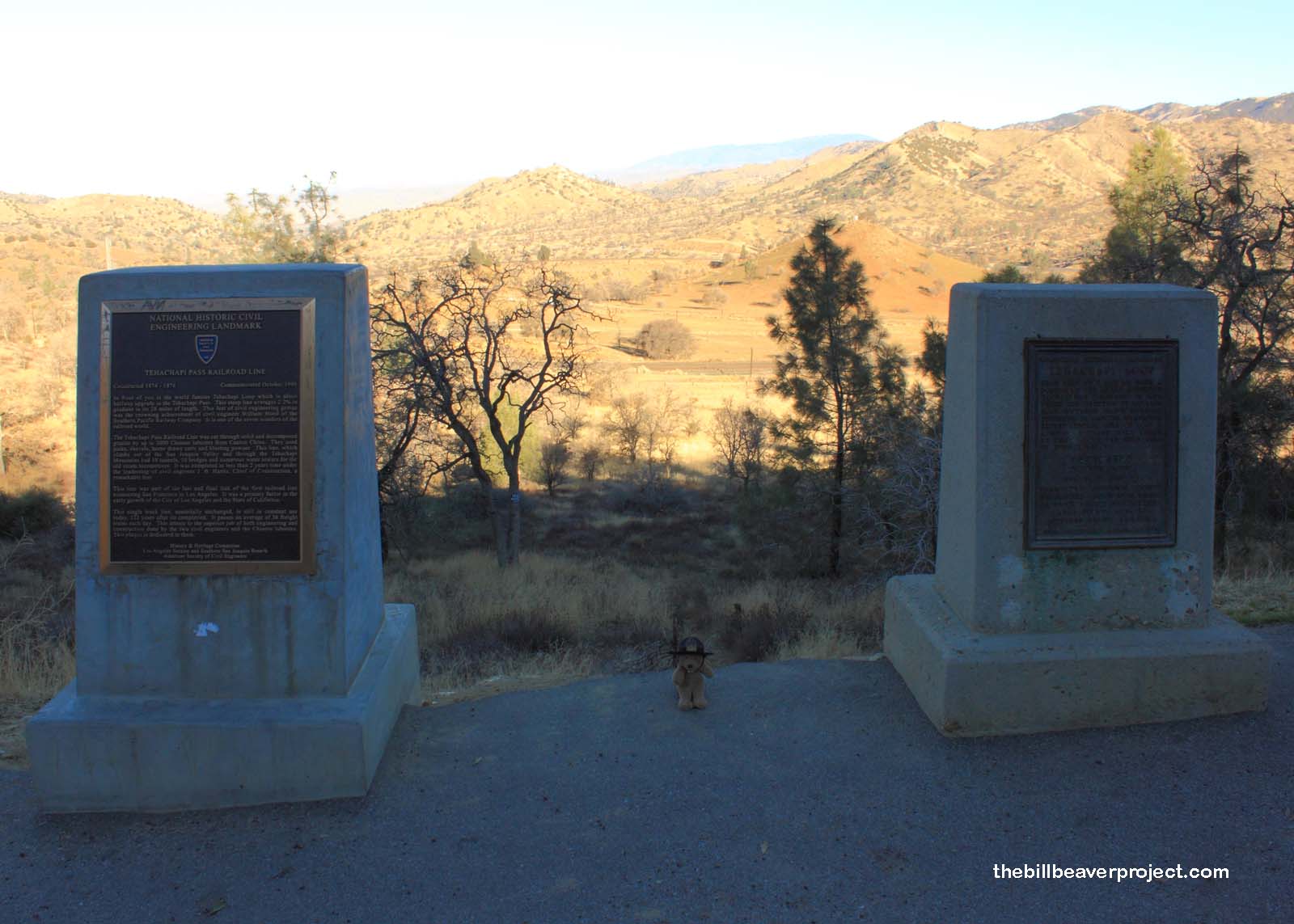 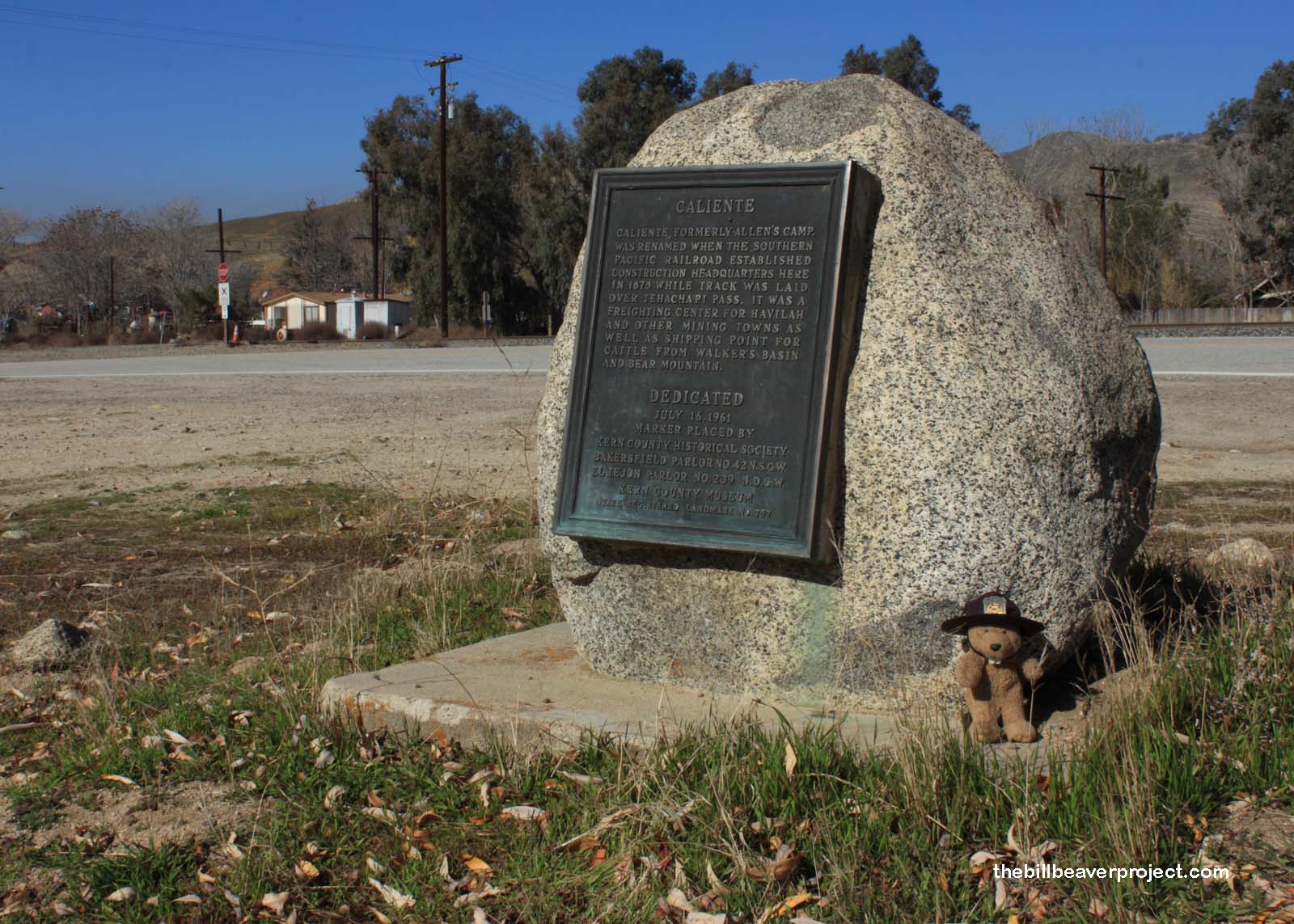 |
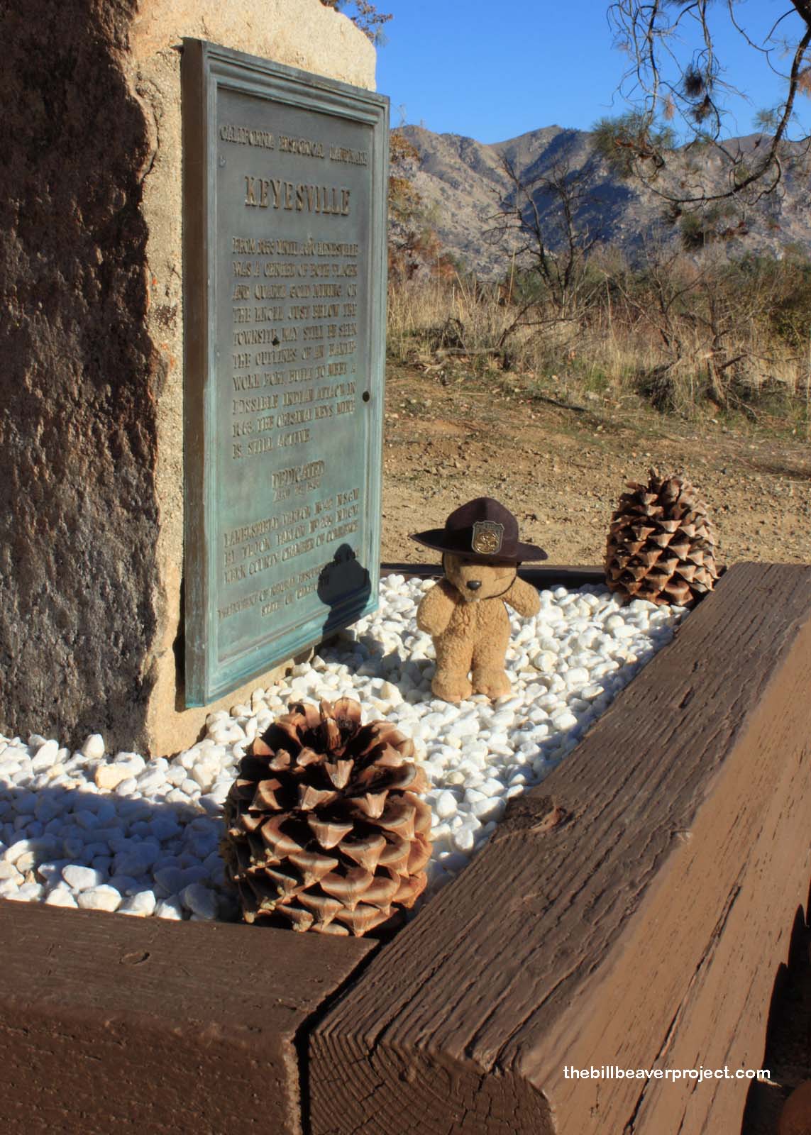
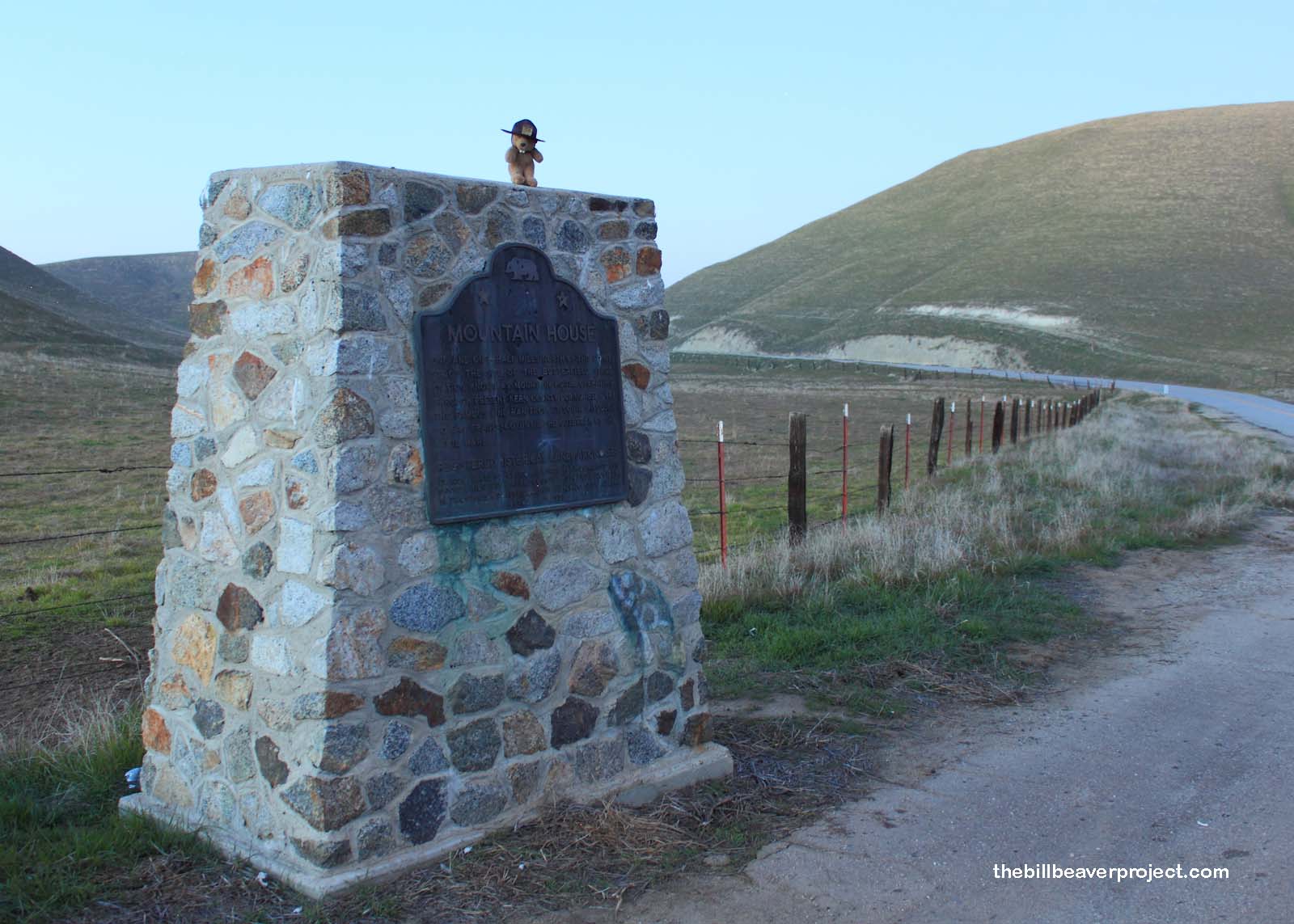
I had mapped two loops into Kern County, the first up to Lake Isabella. Even though the route took me to the southern border of Sequoia National Forest, I had not even thought the route would be so mountainous and forested! Also unexpected were the poor directions to these landmarks. Many of them are “on B Road, P.M. 32,” and sometimes the roads were not right at all! For instance, Keysville (#98) was on Keysville Road, not Black Gulch Road, and Mountain House (#589) was on Woody Road, not Bakersfield-Glennville Road! Someone should have gotten fired for their direction work!
 |
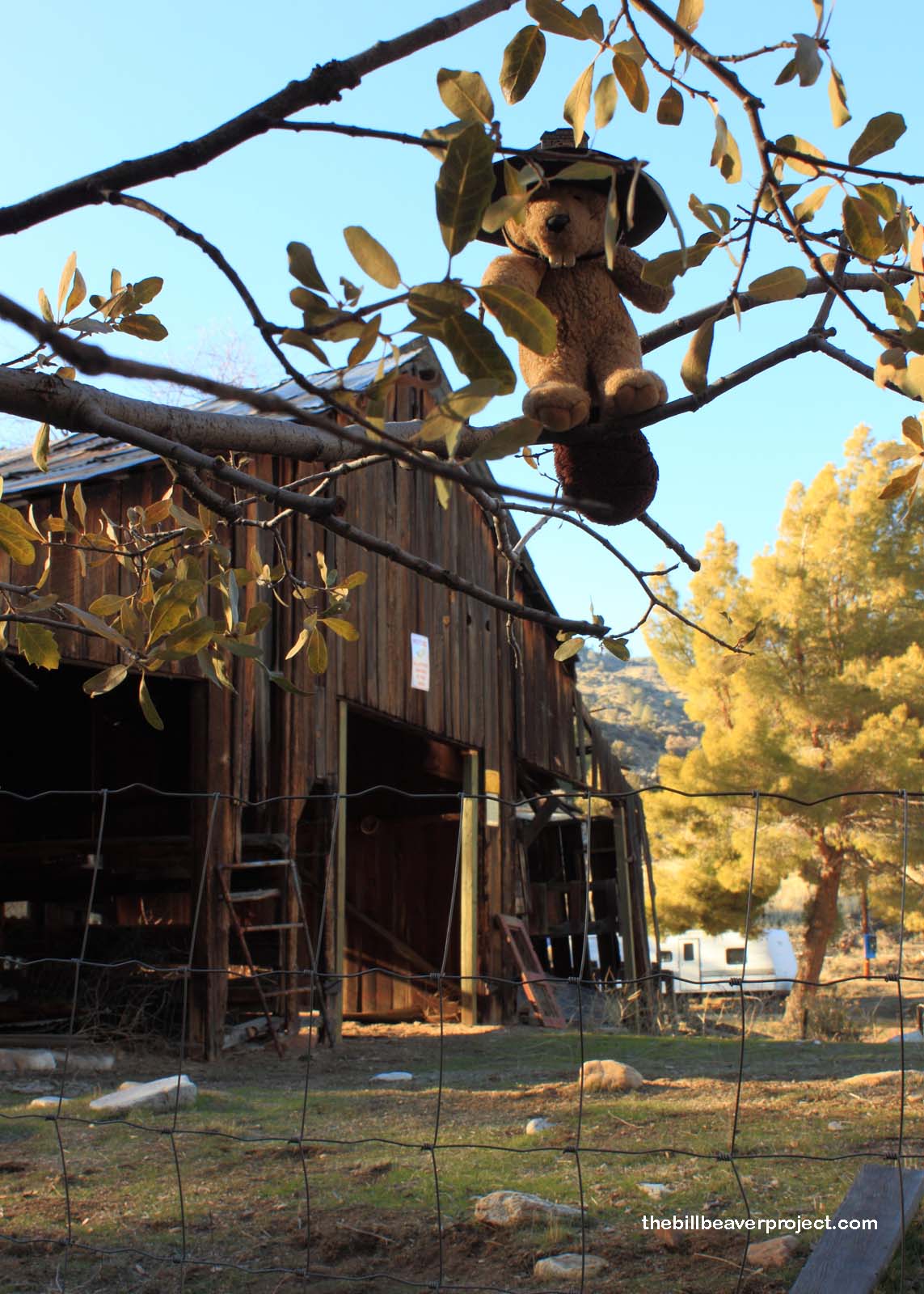 |
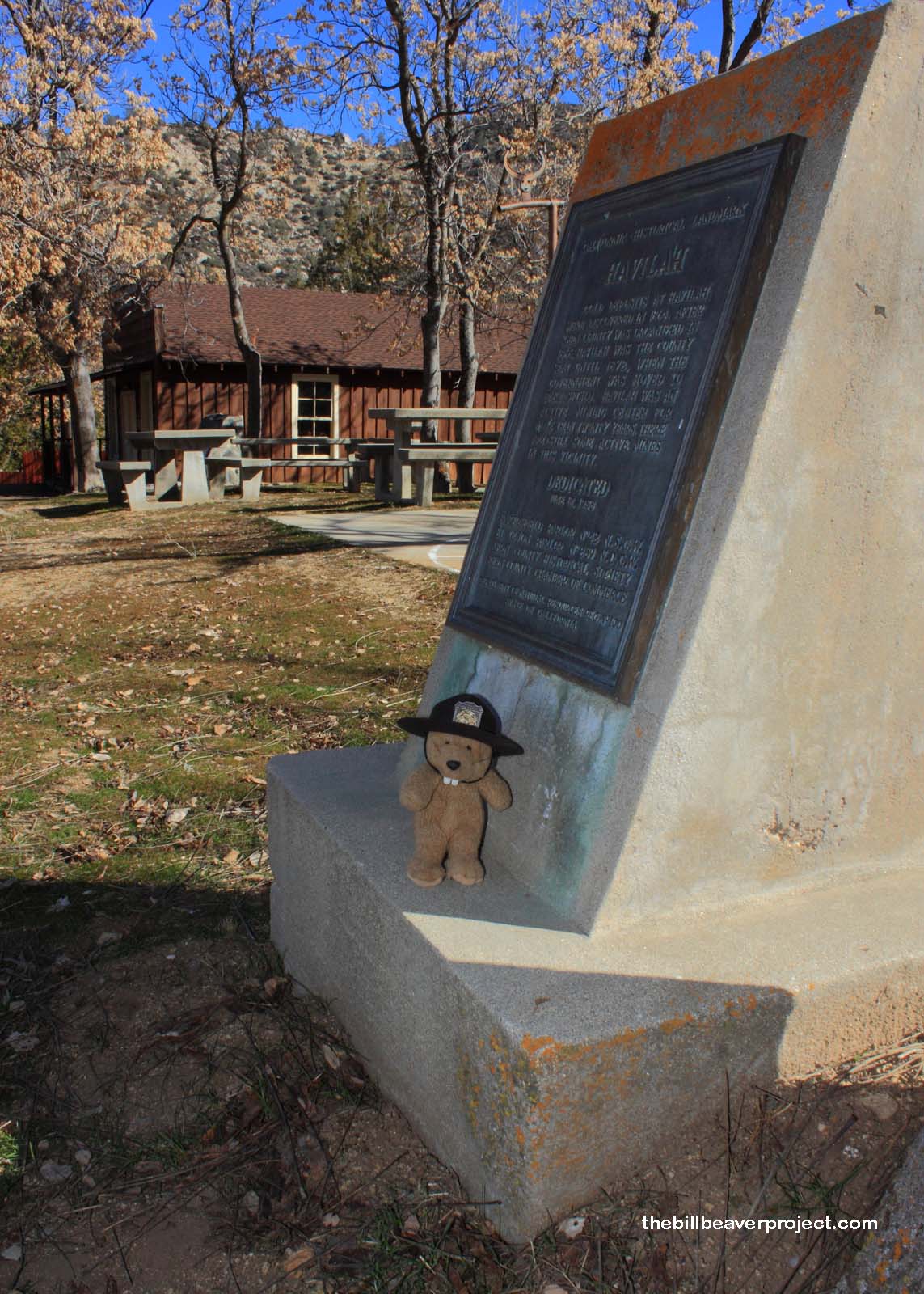
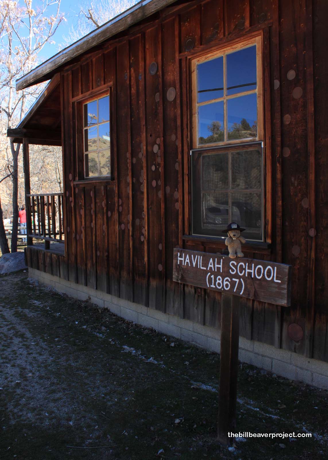
Nonetheless, it was a good decision to make this loop. The scenery was spectacular, and I made some new friends in Havilah (#100), who saw me taking pictures and invited me to eat spaghetti and kale salad with them! It turns out they were members of the Ancient and Honorable Order of E Clampus Vitus! They do exist! We had a great time laughing and tossing beanbags at targets, until two hours suddenly passed, and I still had a bunch of landmarks to see before sunset! If Keysville hadn’t been so vaguely located, I would have beaten the sunset for sure!
 |
 |
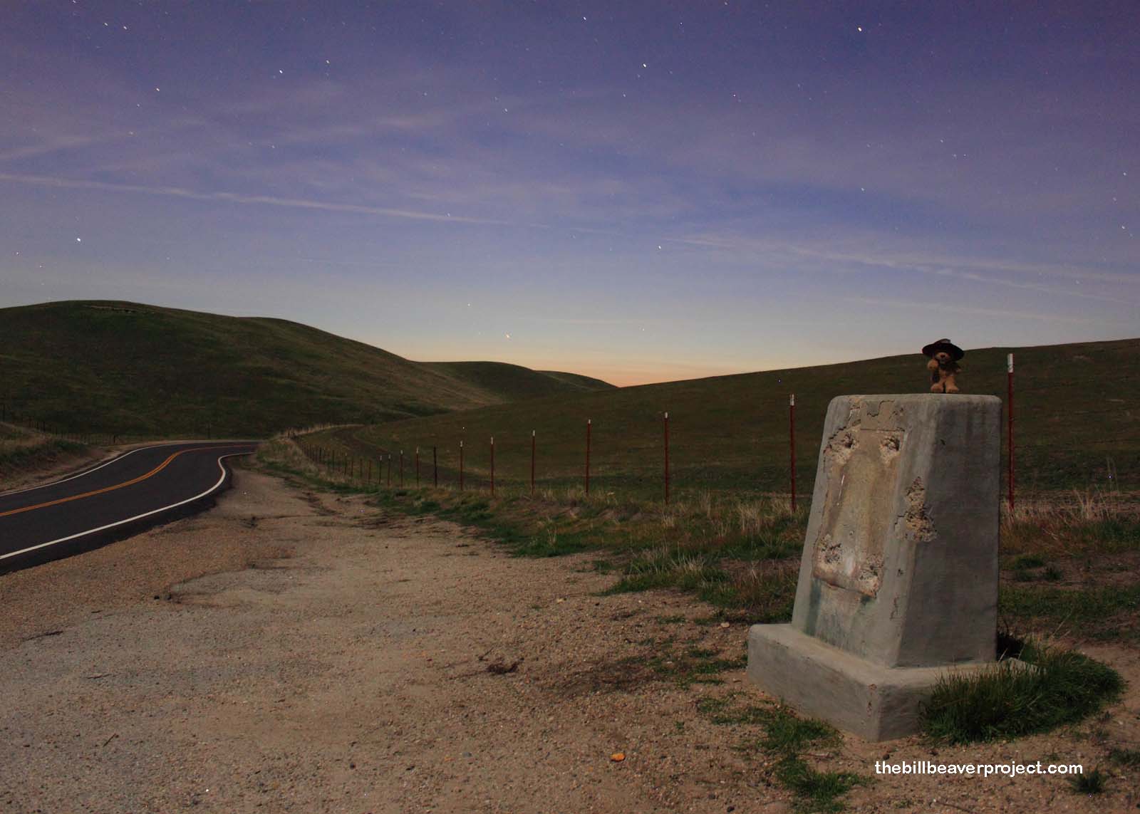
I haven’t done a lot of photos at night because it’s harder to focus and there are lots of predators on the prowl! By the time I pushed the timer in front of the Mountain House marker, it was dark and I found myself surrounded by invisible, howling coyotes! Though I feared for my life with every yip, the resulting photos make me want to take the risk again, with a few more anti-coyote precautions (like an anvil on a string)!
 |
 |
It was a good day, one of the best ways to spend a federal holiday. I did not find George here, though it was beautiful, wonderful, and historical, and I hope he never met the coyotes! So, I’m back home and back to planning. The goal is to see Anacapa Island next weekend and somehow see 37 more landmarks before I go to San Francisco in February. Well, the plans are laid; let’s see how they turn out!
Yip yip awooo!

More 2013 Adventures |
Total Ground Covered: 338.0 mi (544.0 km) |
More 2013 Adventures |