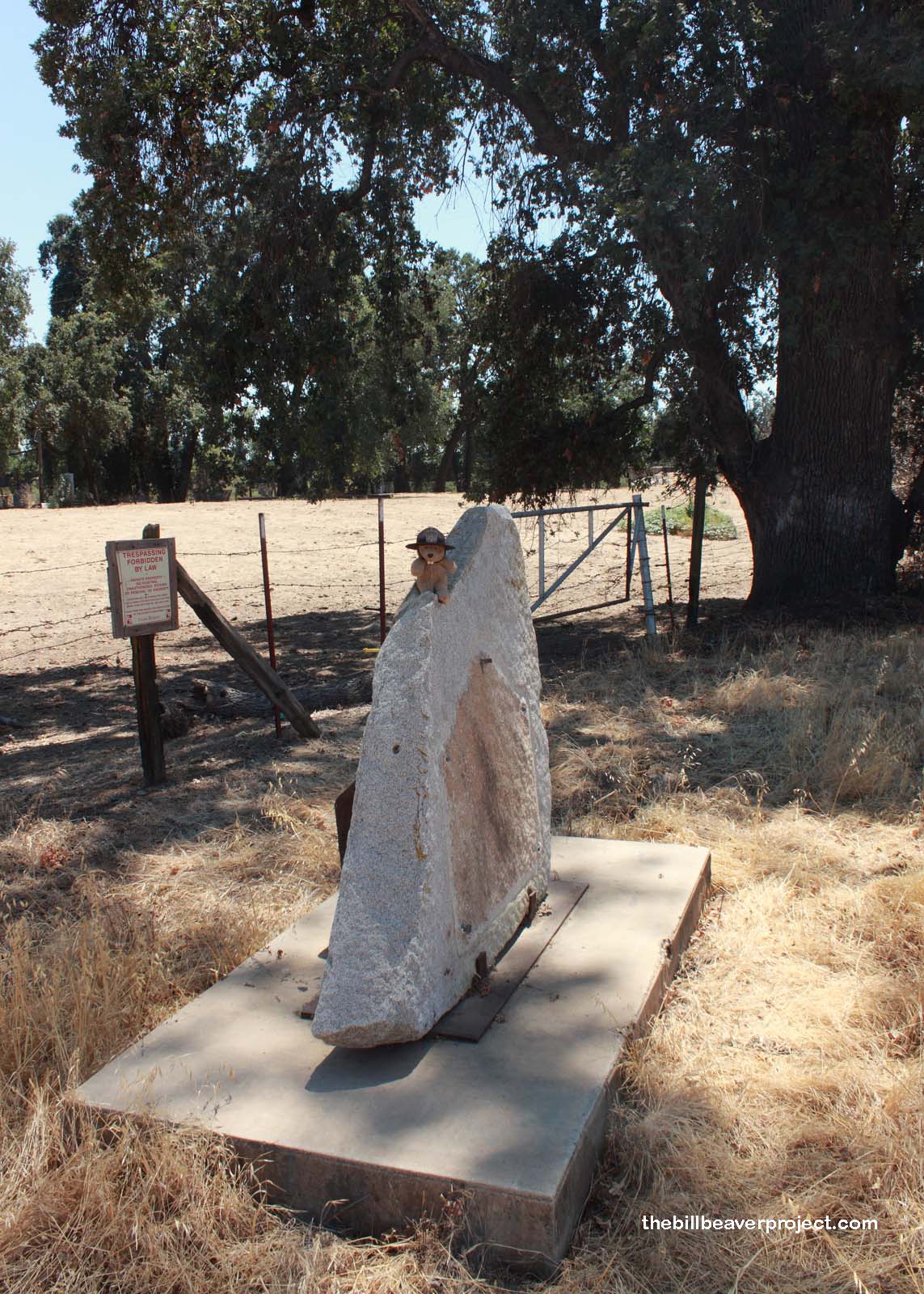
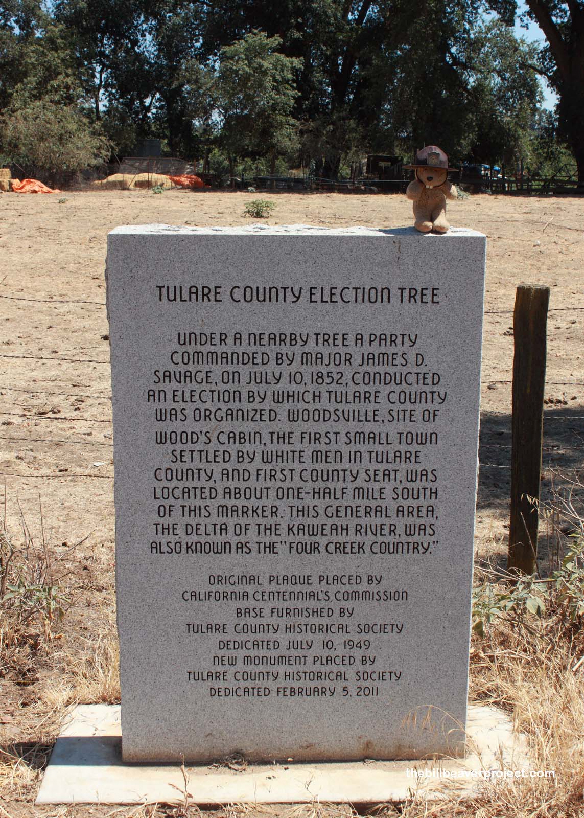
Charter Oak, or Election Tree!

Charter Oak or Election Tree
Landmark #410 Tulare County Visited: July 13, 2013 Plaque?  YES! 🙂
What is it? A plaque and the Charter Oak!
What makes it historical? THE GUIDE SAYS: Under this tree on July 10, 1852, a party commanded by Major James D. Savage conducted the election by which Tulare County was organized. Woodville, site of Wood’s cabin, and the first county seat, was located about one-half mile south of this marker. This general area, the delta of the Kaweah River, was also known as the “Four Creeks County.”

OTHER TIDBITS: That pretty well sums it up!

How can I Help the Helpers? HERE’S HOW:

  • Become a member of the Tulare County Historical Society!
  • Donate to the Tulare County Historical Society!
  • Be a responsible visitor! Please respect the signs and pathways, and treat all structures and artifacts with respect. They’ve endured a lot to survive into the present. They’ll need our help to make it into the future!
Where is this place? LISTED DIRECTIONS:
On Charter Oak Dr
0.3 mi W of Rd 180
7 mi E of Visalia, CA 93292

ANNOTATIONS:
That’s actually 0.4 miles west of Road 180 and 0.5 miles east of Avenue 315!

From Los Angeles: ~197mi (318km) — 3.3hrs
From Sacramento: ~220mi (355km) — 3.7hrs
From San Diego: ~311mi (501km) — 5.2hrs
From San Francisco: ~237mi (382km) — 4hrs

When should I go? Whenever the mood strikes you!

Charter Oak or Election Tree

Charter Oak or Election Tree

Click here to see more California historical landmarks!

Leave a Reply

Your email address will not be published. Required fields are marked *

This site uses Akismet to reduce spam. Learn how your comment data is processed.