 |
| Landmark #648 | Tulare County | Visited: July 13, 2013 | Plaque? YES! 🙂 |
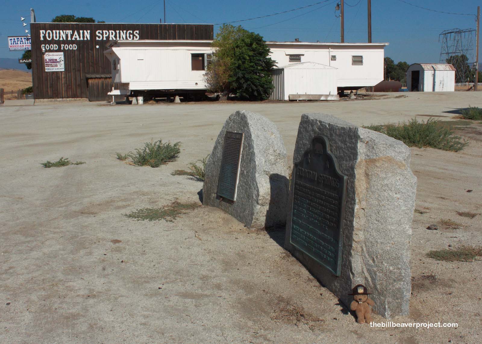
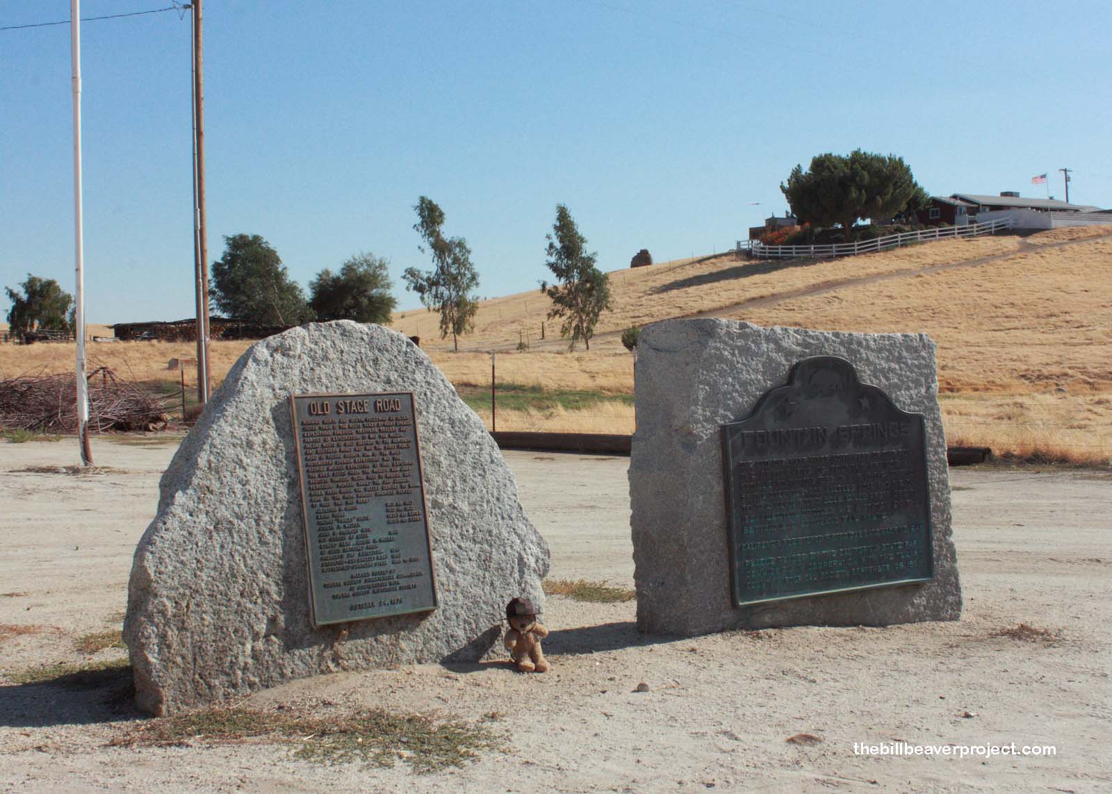
| What is it? | A dual plaque on the side of the road! |
| What makes it historical? | THE GUIDE SAYS: The settlement of Fountain Springs was established before 1855, 1 1/2 miles northwest of this point, at the junction of the Stockton-Los Angeles Road and the road to the Kern River gold mines. From 1858 to 1861, Fountain Springs was a station on the Butterfield Overland Mail route.
OTHER TIDBITS: That pretty well sums it up! |
| How can I Help the Helpers? | HERE’S HOW:
|
| Where is this place? | LISTED DIRECTIONS: SW corner of County Rds J22 and M 109 (old Springville stage rte) Fountain Springs, CA 93257 ANNOTATIONS: 29115 Ave 56 From Los Angeles: ~155mi (250km) — 2.6hrs |
| When should I go? | Whenever the mood strikes you! |