Indian Village at Tunitas Beach!

Tunitas Beach, Indian Village Site on Portolá Route
Landmark #375 San Mateo County Visited: October 19, 2013 Plaque?  NO. 🙁
What is it? One of the camp sites along Don Gaspar de Portolá’s expedition route from Mexico to Monterey!
What makes it historical? THE GUIDE SAYS: The Portolá Expedition of 1769 discovered this Indian village on Tunitas Creek, in the southwest corner of Rancho Cañada de Verde y Arroyo de la Purísima, the rancho was granted to José María Alviso in 1838.

OTHER TIDBITS: The name of this Ohlone village has sadly been lost to the ages, but we do know that “Las Tunitas” means “little prickly pears!”

How can I Help the Helpers? HERE’S HOW:

  • Volunteer with the San Mateo County History Museum!
  • Donate to the San Mateo County History Museum!
  • Be a responsible visitor! Please respect the signs and pathways, and treat all structures and artifacts with respect. They’ve endured a lot to survive into the present. They’ll need our help to make it into the future!
Where is this place? LISTED DIRECTIONS:
Mouth of Tunitas Creek at Tunitas Beach
1,000 ft W of State Hwy 1 (P.M. 20.9)
6.8 mi S of Half Moon Bay, CA 94019

ANNOTATIONS:
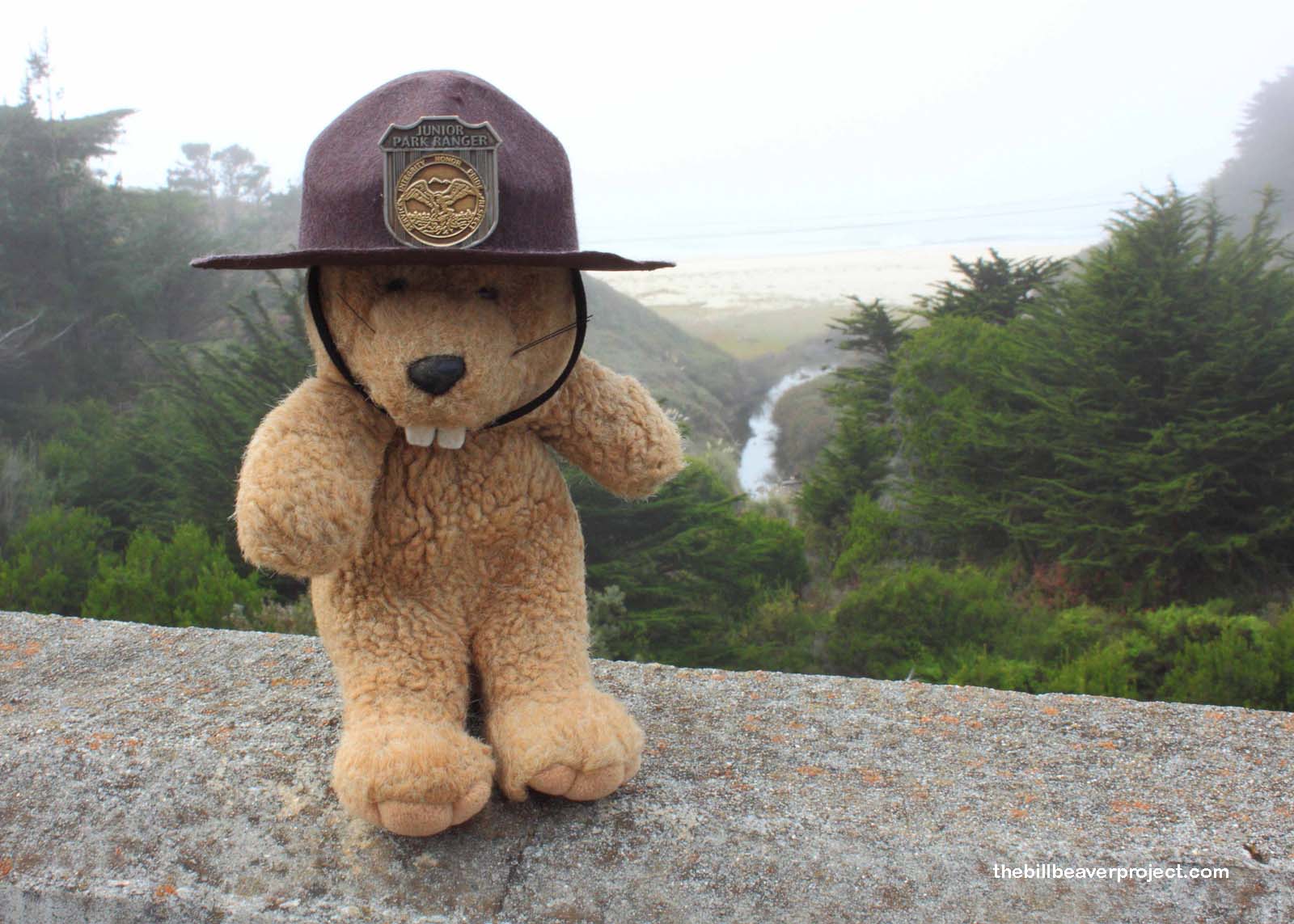
I’m not sure if you can get down to the beach by taking Tunitas Creek Road west from the intersection of Highway 1, but you can definitely get a good view of the creek’s mouth from a bridge just south of the intersection!

From Los Angeles: ~386mi (622km) — 6.5hrs
From Sacramento: ~137mi (221km) — 2.3hrs
From San Diego: ~526mi (847km) — 8.8hrs
From San Francisco: ~37mi (60km) — 0.7hrs

When should I go? Whenever the mood strikes you!

Click here to see more California historical landmarks!

Leave a Reply

Your email address will not be published. Required fields are marked *

This site uses Akismet to reduce spam. Learn how your comment data is processed.