 |
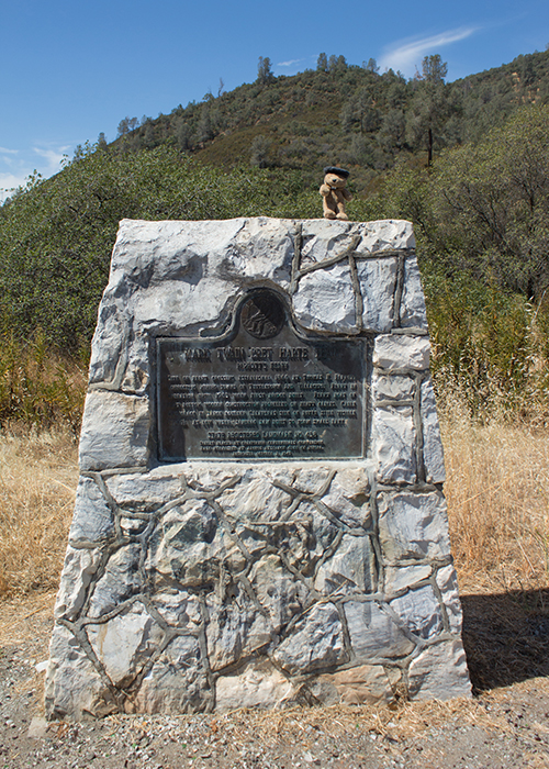
| Landmark #438 | Tuolumne County | Visited: June 27, 2015 | Plaque? YES! 🙂 |
| What is it? | A plaque near the bridge that marks the site of Parrott’s Ferry! |
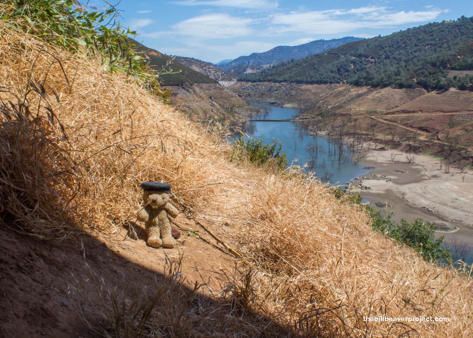
| What makes it historical? | THE GUIDE SAYS: This is the site of the ferry crossing established in 1860 by Thomas H. Parrott that connected the mining towns of Tuttletown and Vallecito. The ferry was in operation until 1903, when the first bridge was built. The ferryboat, of flatbottom wooden construction, was propelled on heavy cables anchored in a large boulder. Still visible (1949) at low water on the Calaveras side of the river is the sandbag dam built to form a small lake that stored enough water to float the ferries in dry periods.
OTHER TIDBITS: This whole area was submerged under the New Mellones Reservoir for many years until the Great California Drought drained most of the reservoir and revealed the original bridge once again! |
| How can I Help the Helpers? | HERE’S HOW:
|
| Where is this place? | LISTED DIRECTIONS: Vista area on Calaveras side of Columbia-Vallecito Highway Bridge Stanislaus River Parrott’s Ferry Rd 5 mi NW of Columbia, CA 95310 ANNOTATIONS: From Los Angeles: ~344mi (554km) — 5.8hrs |
| When should I go? | Whenever the mood strikes you! |