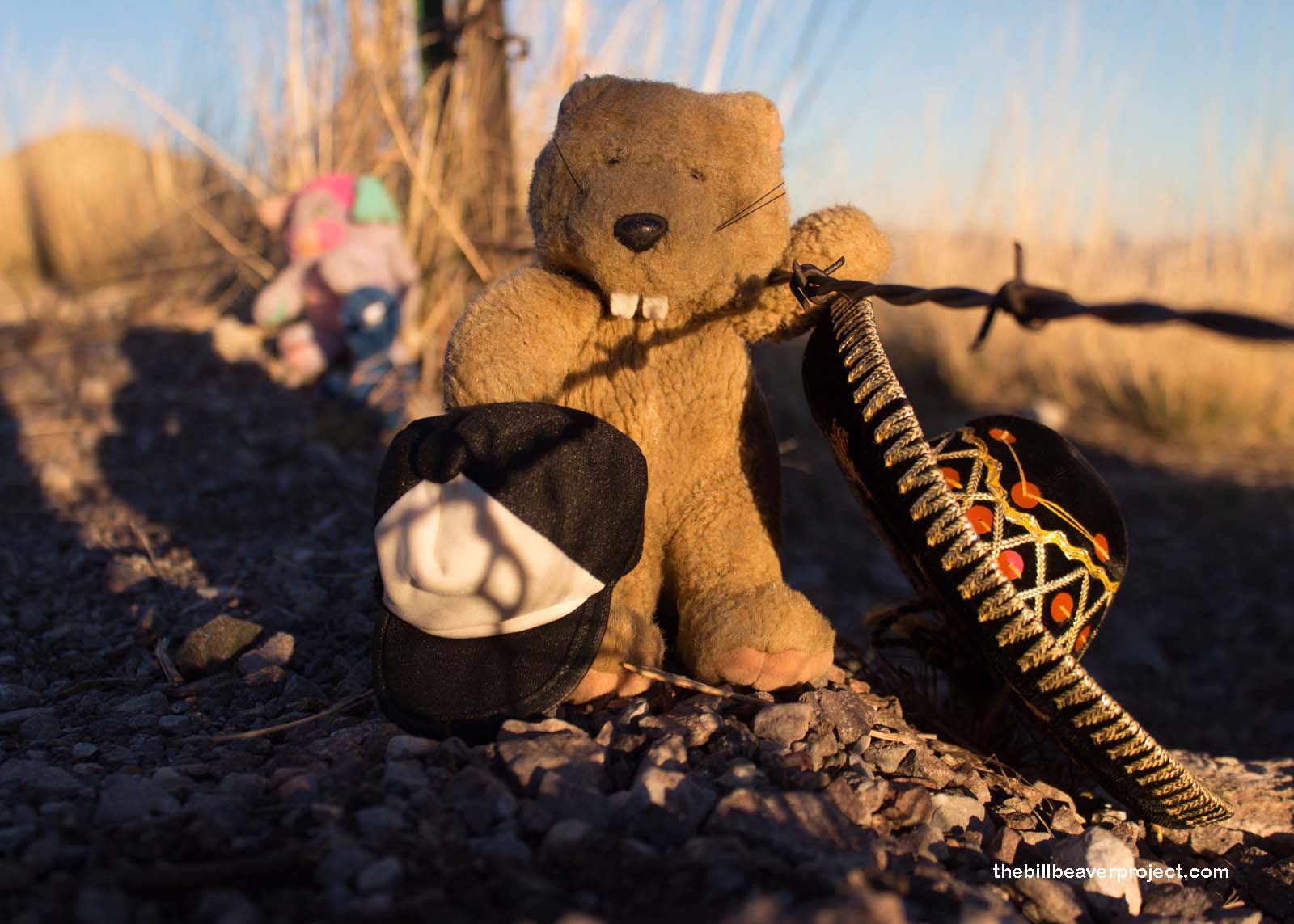
With all this talk in the news lately about building a wall along the US-Mexico border, I got curious about what that border actually looked like today. Since I was already in the southern part of Arizona, I decided to swing on down to the city of Douglas and have a look!
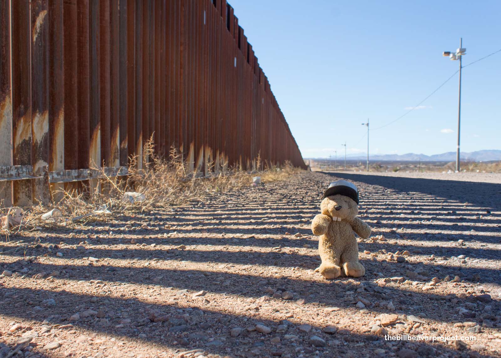 |
The fence down here is massive! It’s ten feet tall and uses steel bars called bollards to separate the two countries! There are rumors that some folks still slip through using blow torches, and just last week, someone installed a drug slingshot on the Mexican side! Border patrol is pretty diligent, though. They asked me quite a few questions while I was taking photos, but very few after I crossed into Agua Prieta on the Mexico side!
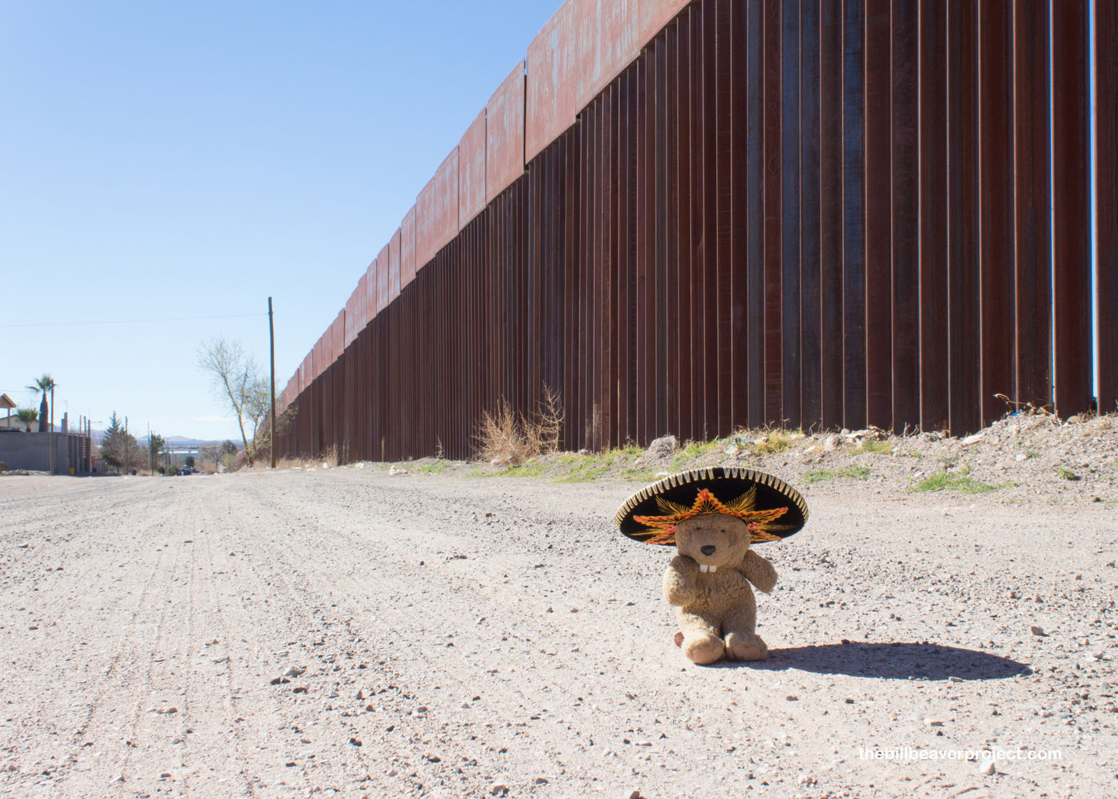 |
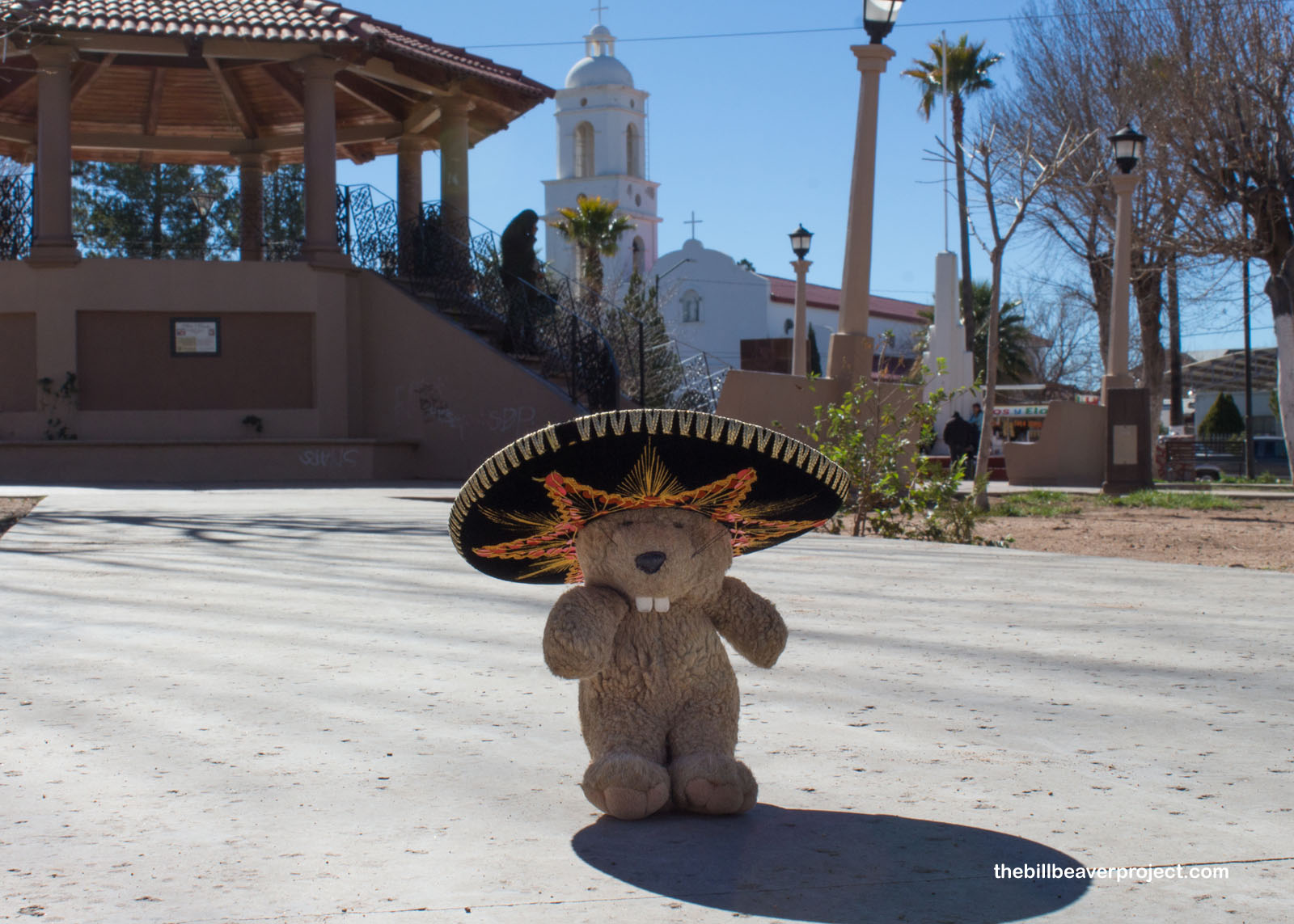
Right away, there were so many contrasts in this bustling border town: beautifully maintained monuments and dilapidated skeletons of buildings, busy storefronts and empty lots! It was a town built on the back of the railroad carrying minerals between Nacozari and Douglas, officially founded in 1899 under the name Commissary of Frontiers. Today, the city’s name means Dark Water.
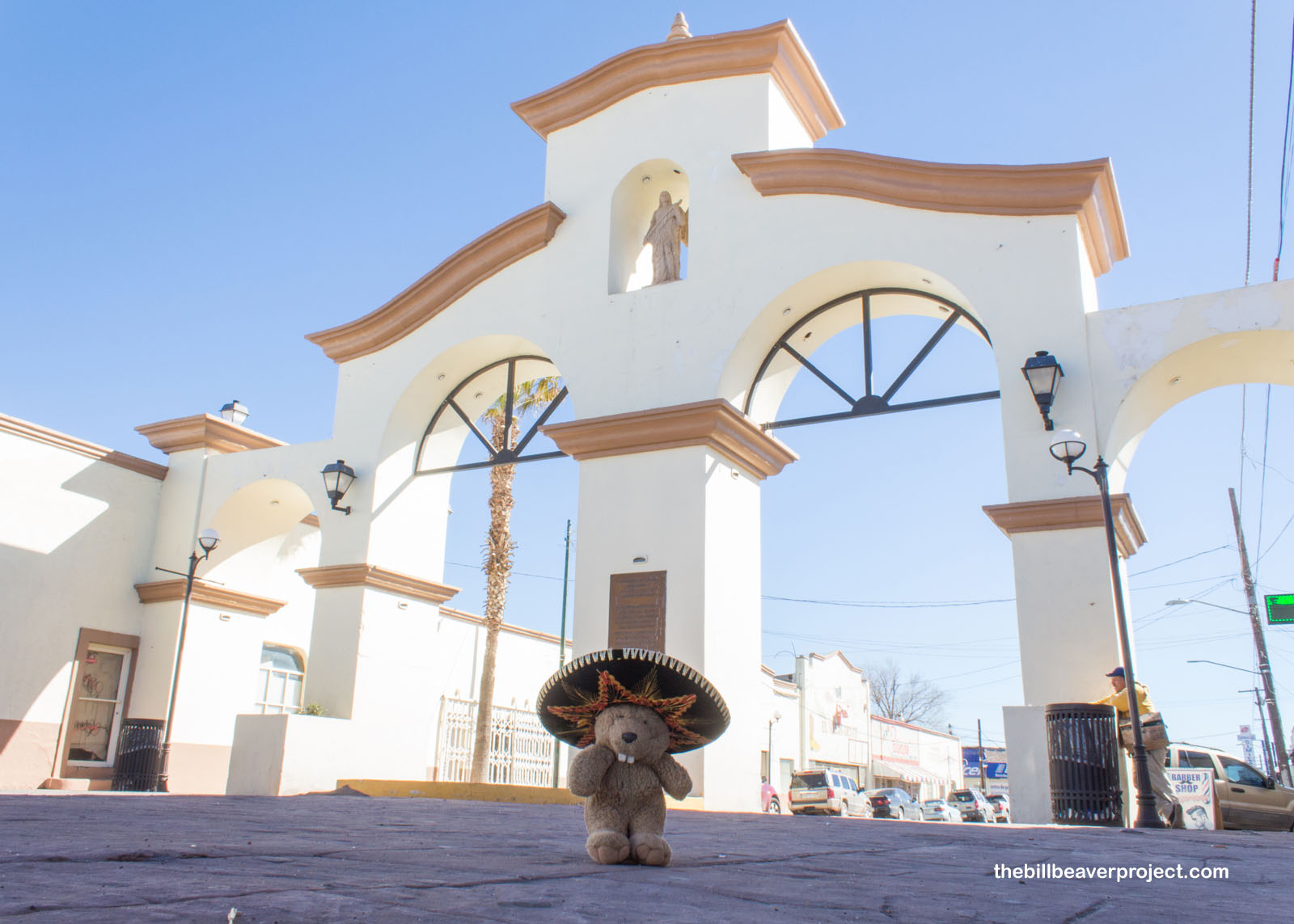 |
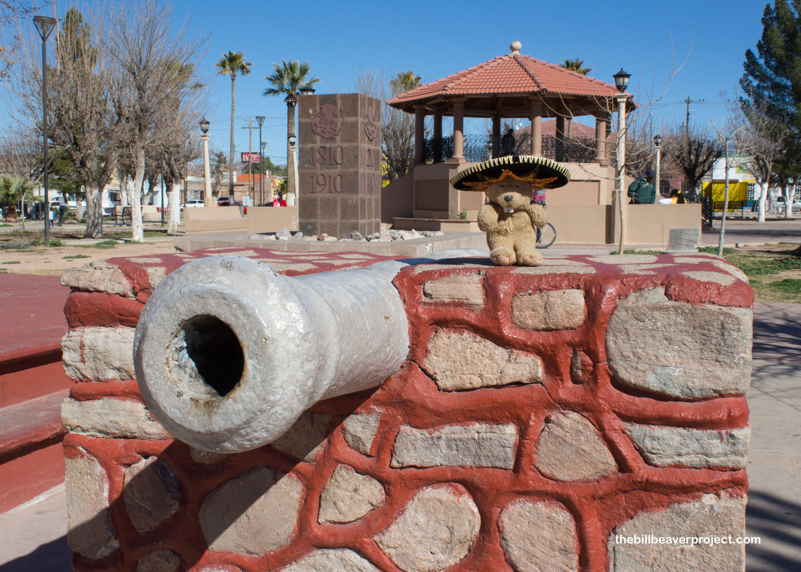
Despite the ominous name and warnings to watch out for the carteles, the locals seemed friendly. As I wandered around the Plaza Azueta—named for José Azueta, who lost his life fighting the US Army when it occupied Veracruz in 1914—a cookie salesman asked me about my travels. He recommended that, at some point, I should check out a spectacular cave in Chihuahua, though I can’t remember if it was the giant Crystal Cave of Naica or one of the caves that actually gives tours like Coyame or Las Grutas de Nombre de Dios!
 |
 |
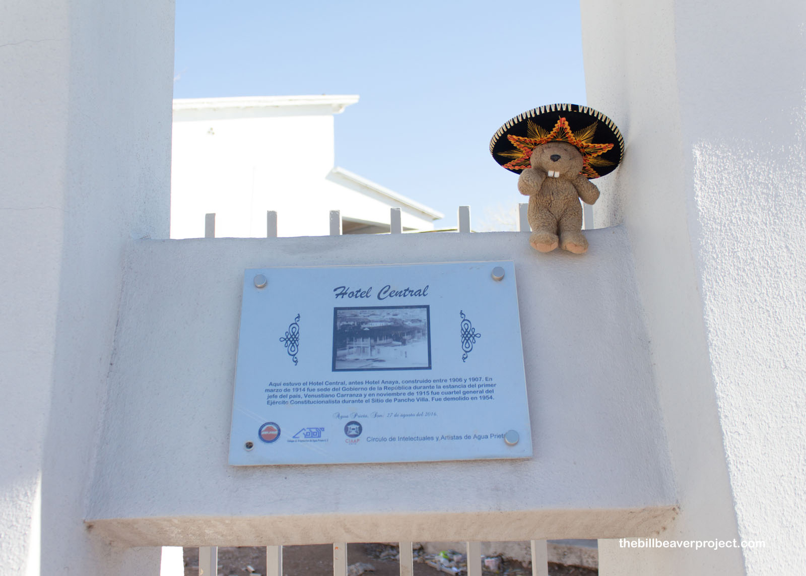
What is for sure is that he directed me to the corner of Calle 5 and Avenida 2, where a humble sign memorialized the Hotel Central, the base of Venustiano Carranza’s presidency and the barracks of the Constitutional Army, which fended off Pancho Villa in the Second Battle of Agua Prieta, November 1, 1915!
 |
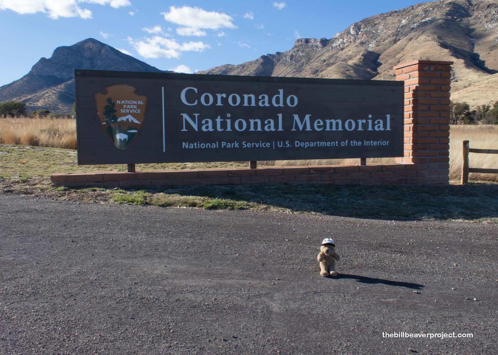
I probably could have dug deeper into the life and culture of Agua Prieta, but the day was wearing on, I hustled back to the formidable fence, and with the great privilege that comes with being a US resident, and a beaver, crossed without trouble! I was curious, though, whether the entire border was fortified like this. To answer my question, I headed west to my last stop on this trip: Coronado National Memorial!
This hilly preserve commemorates Francisco Vásquez de Coronado’s northbound quest out of Mexico with 339 European soldiers and over a thousand Aztec allies to find the fabled city of Cíbola! This was the first organized expedition into what is today the American Southwest!
 |
Originally, this was meant to be an international park, bridging the border between the US and Mexico, like Waterton-Glacier International Peace Park on the Canadian border, but the Mexican government never created their counterpart to this memorial.
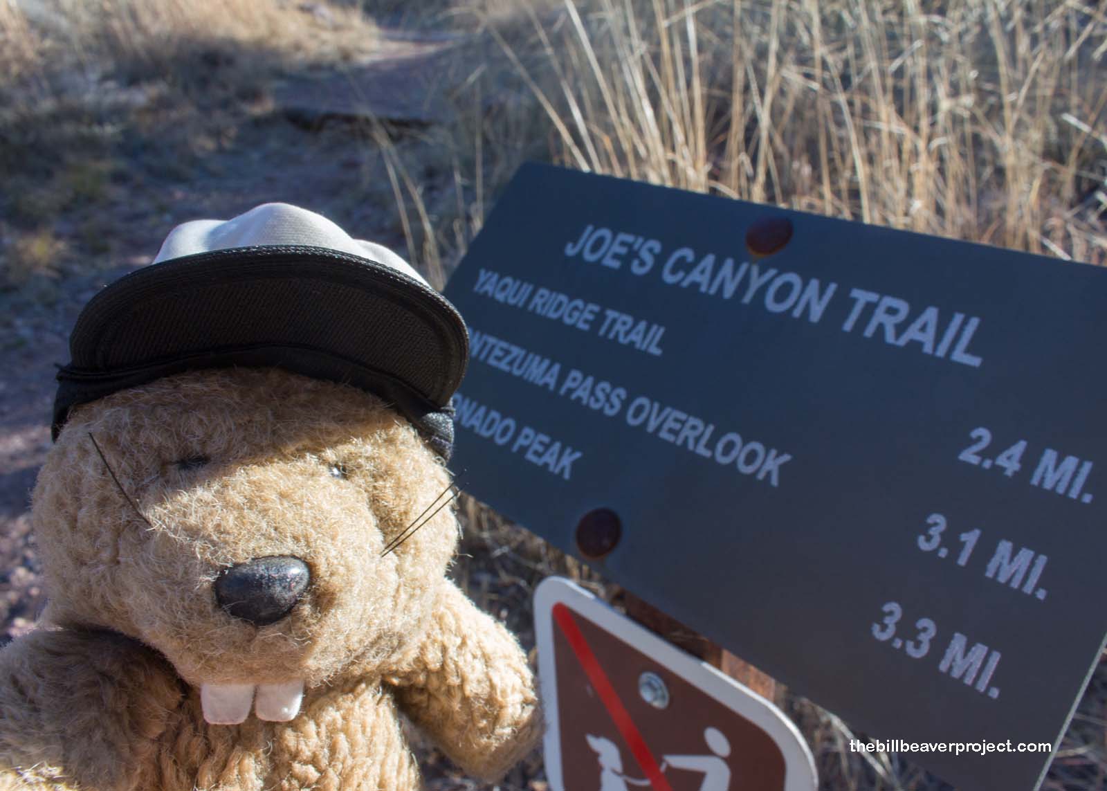
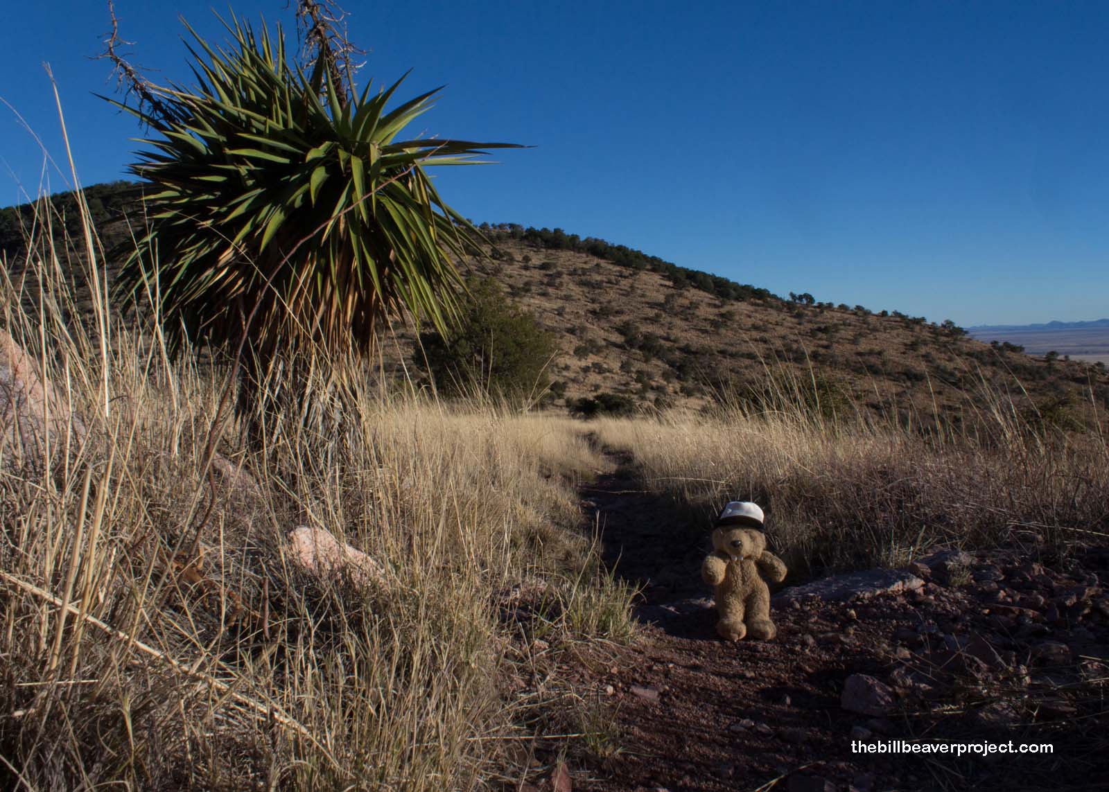
Also disappointing was that the visitor center closed at 4:00, not 4:30, so I wasn’t able to get my passport stamped! Nonetheless, I had no time to complain. Sunset was coming, and I had six steep miles ahead of me on the Joe’s Canyon Trail and Yaqui Ridge Trails back to the border, marked with more warnings about drug smugglers!
 |
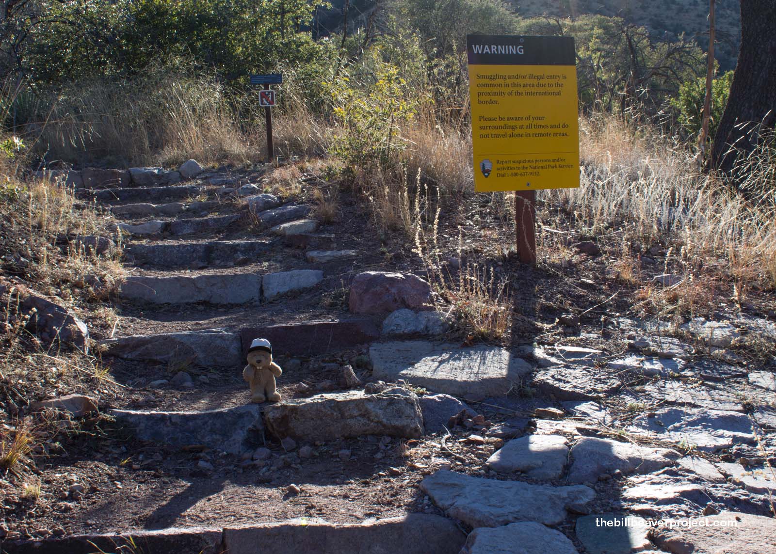 |
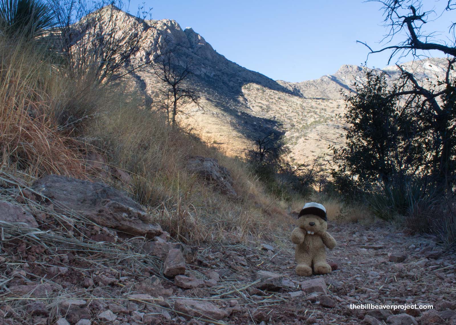
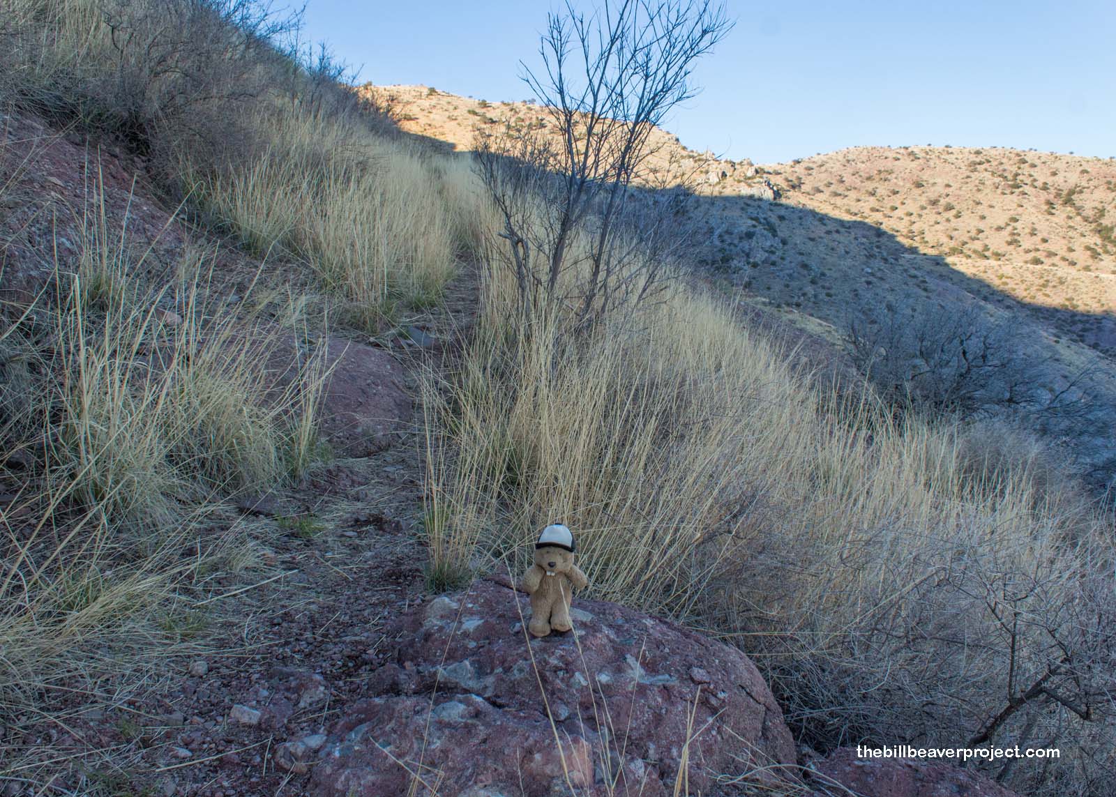
So I set off up the steep switchbacks climbing right up the side of the canyon, totally alone and trying to imagine the legions of explorers on horseback traversing this tricky terrain into the unknown! I worried about mountain lions and wondered if any of the explorers had met a mountain lion yet! It was cold in the shade, and I had my headlamp ready. I was wondering if this was a really foolish venture!
 |
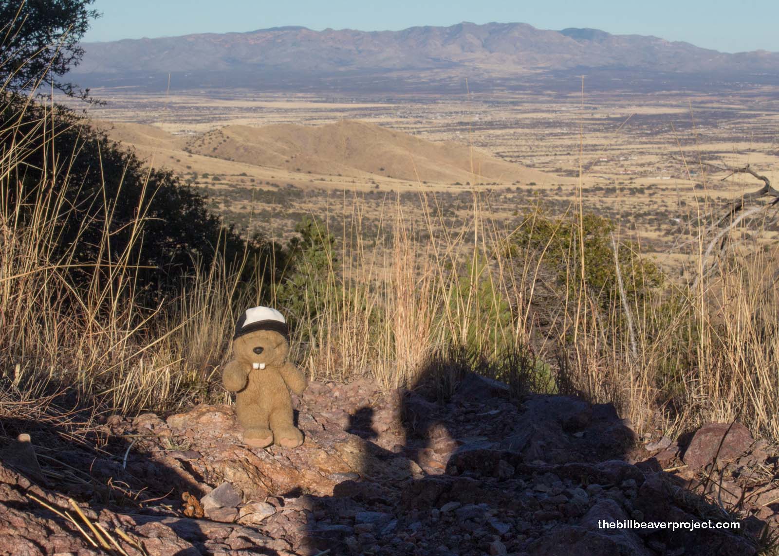
I reached the saddle, huffing, puffing, and ravenous, but determined to reach the border once more. As I gazed out over the plains of Sonora just beyond, I wondered how it would feel to be an alien coming the opposite way. They’d be sneaking through these hot, dry, steep hills into a foreign land, where they would meet with further troubles, but maybe, also, a better life than before!
 |
 |
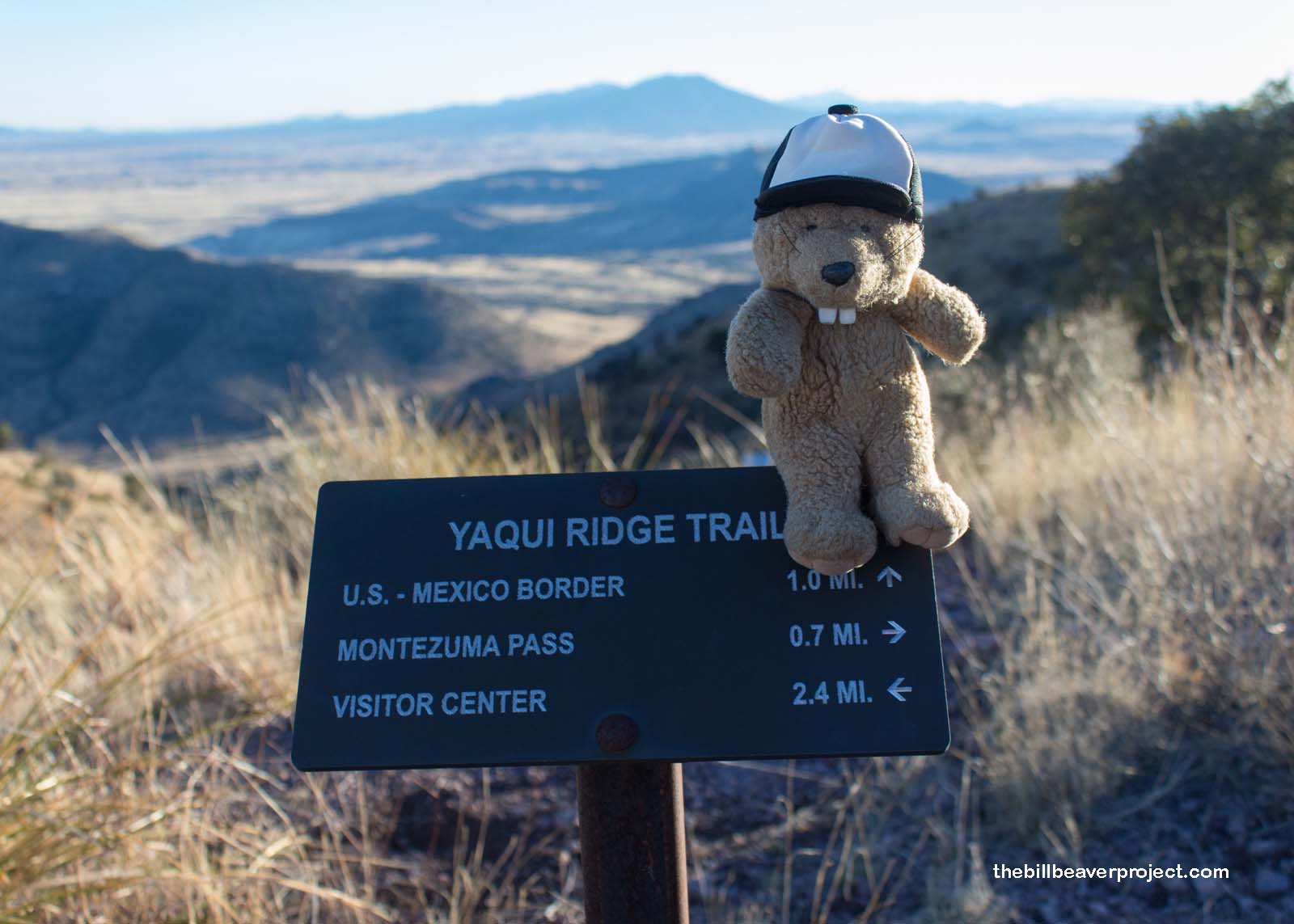
At last, I reached the Yaqui Ridge cutoff. By now, it was 5:30 with sunset scheduled for 6:00. I had a mile to go to the border, and 3.4 miles back, probably in the dark! I had to decide: press on or go back? I’d come so far by this point that I had to make it work. So I took off running down the hill toward the border!
 |
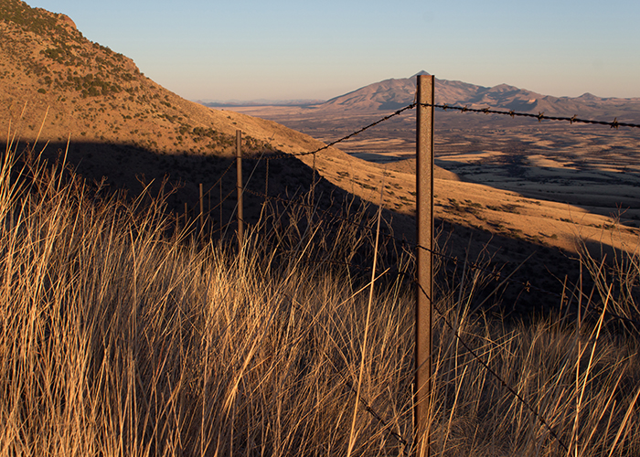
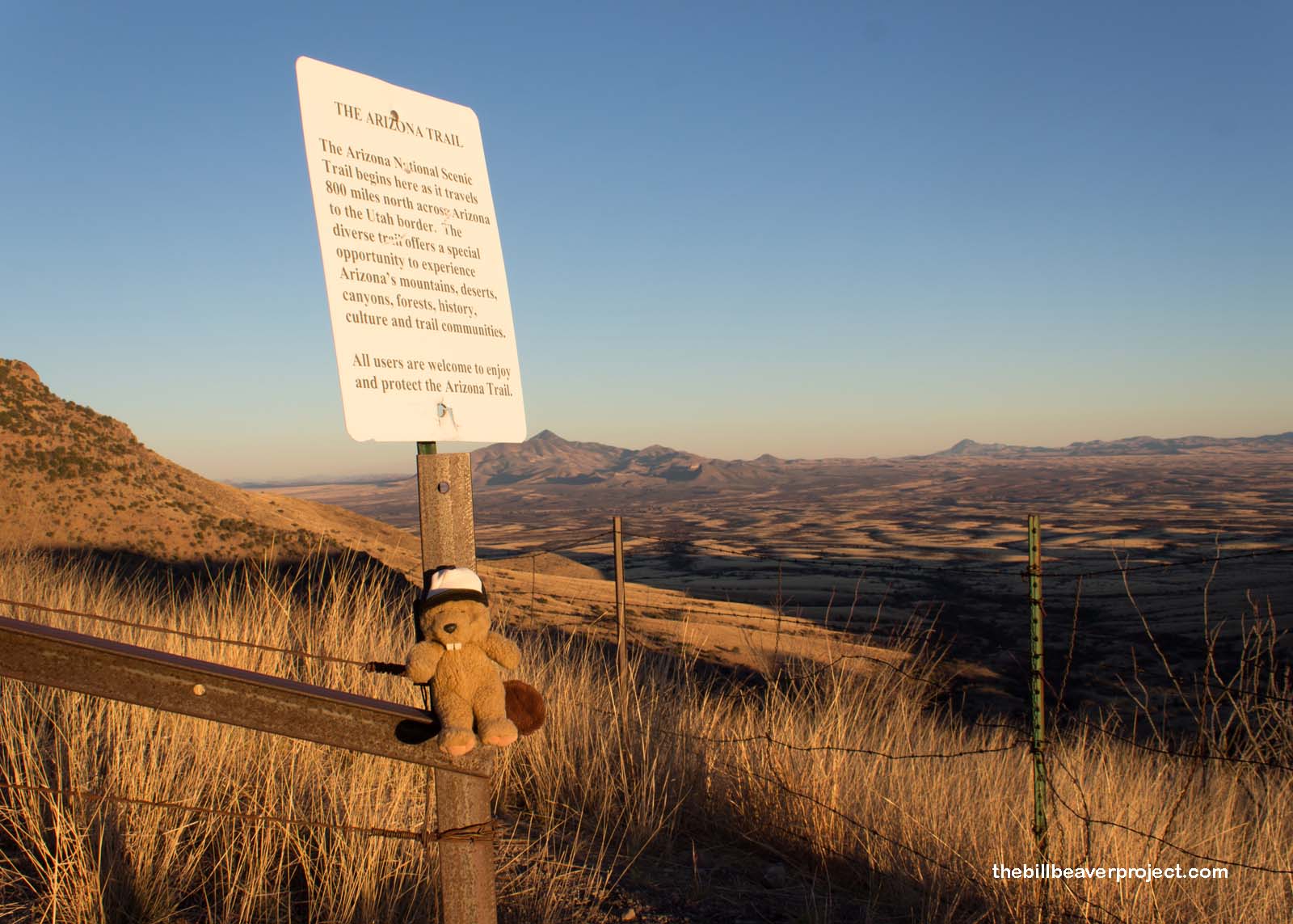
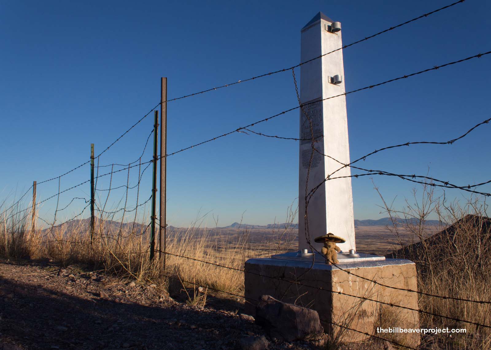
It didn’t take long before I pulled to a halt at the simple barbed wire fence separating the two countries, also the starting point of the Arizona National Scenic Trail which winds up into Utah. It was a far cry from the imposing fence at Agua Prieta, but so remote that getting here would be a considerable risk!
 |
 |
This fence also makes it easier for wildlife to pass through, and pass through I did! Someone had cut a big hole in the wire, so I looked around, hopped through, and was once again in Mexico! It was so similar on both sides of the fence that it reminded me how arbitrary human borders can be! With that in mind, I looked around as the light grew dimmer and hoped that I wasn’t going to run into any smugglers or aliens.
 |
I don’t think I did.
 |
After all, nobody wants to be sondeado por extraterrestres!!
 |
As expected, the sun set as I chugged back up the Yaqui Ridge Trail toward the road at Montezuma Ridge. I wasn’t excited about the long trek back in the dark, but I had my headlamp and wasn’t scared. Then, by great fortune, I ran into a piano teacher from Wisconsin named David, who was out taking photos of the Mexican landscape and offered to drive me back to the visitor center! What a relief!
Thanks to David for the lift and gracias to Mexico for letting me explore your side of the controversial border, if only for a day!
Hasta la byebye!
