 More 2018 Adventures |
Philadelphia, PA → Dover, DE → Church Creek, MD → Luray, VA 371.0 mi (597.1 km) |
 Next Day |
I’ve just flown across the country on the back of a mighty nor’easter and landed in the First State of Delaware, surrounded by all kinds of debris! I’m on my way to Washington, DC to take part in the March for Our Lives, but the airfare was significantly cheaper tubbing through Philadelphia. That small detour gave me the great opportunity to check out some of the historic places in the greater Chesapeake region!
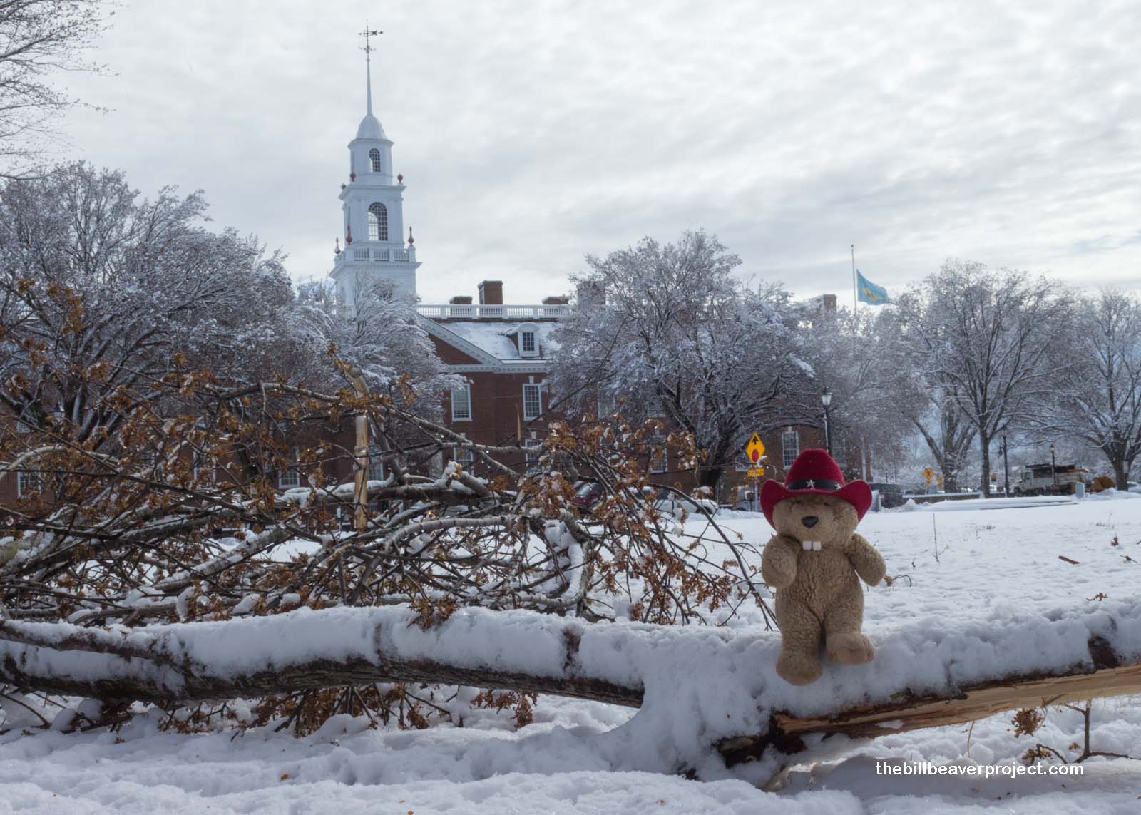 |
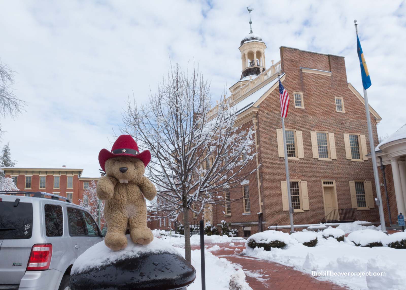
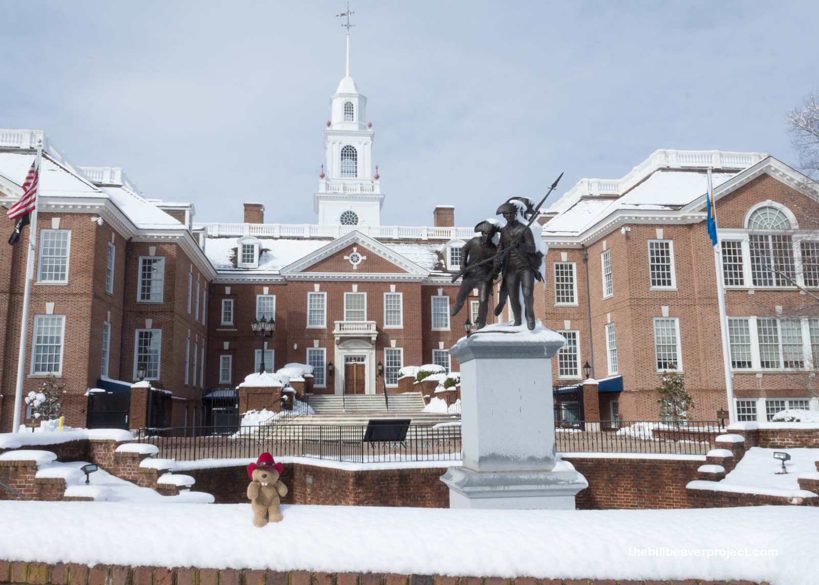
I started off in Delaware’s capital, Dover, to compare and contrast the current Legislative Hall (1933) with the old Capitol building (1791). What a difference two hundred years make! Though its old capitol, nestled on the edge of the historic Green, was petite, like the state, the newer Legislative Hall is very impressive!
 |
 |
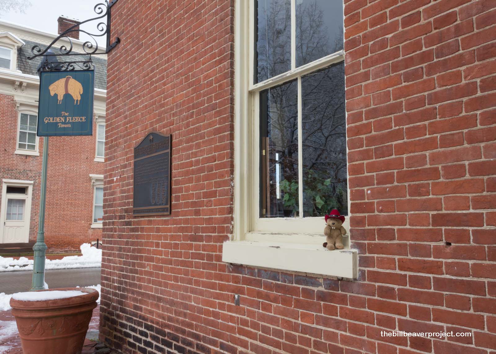
Nearby, across the Green from the old Capitol, is the reimagined Golden Fleece Tavern, where thirty delegates met on December 7, 1787 to ratify the fledgling U.S Constitution, officially making Delaware the First State! The original building was actually demolished in 1830, but the new one, just blocks away, still serves up tasty food and is an important stop on tours of historic Dover!
 |
I was so immersed in the beautiful architecture of old town Dover that I almost lost track of the day. Since I had five more national parks to see before reaching the 100 milestone tomorrow, I had to get moving. I was soon on my way south to Maryland’s outer arm, where the snows gradually melted away and got replaced by my old nemesis, the wind! Nevertheless, I was determined not to let the wind impede my explorations of Harriet Tubman Underground Railroad National Historical Park!
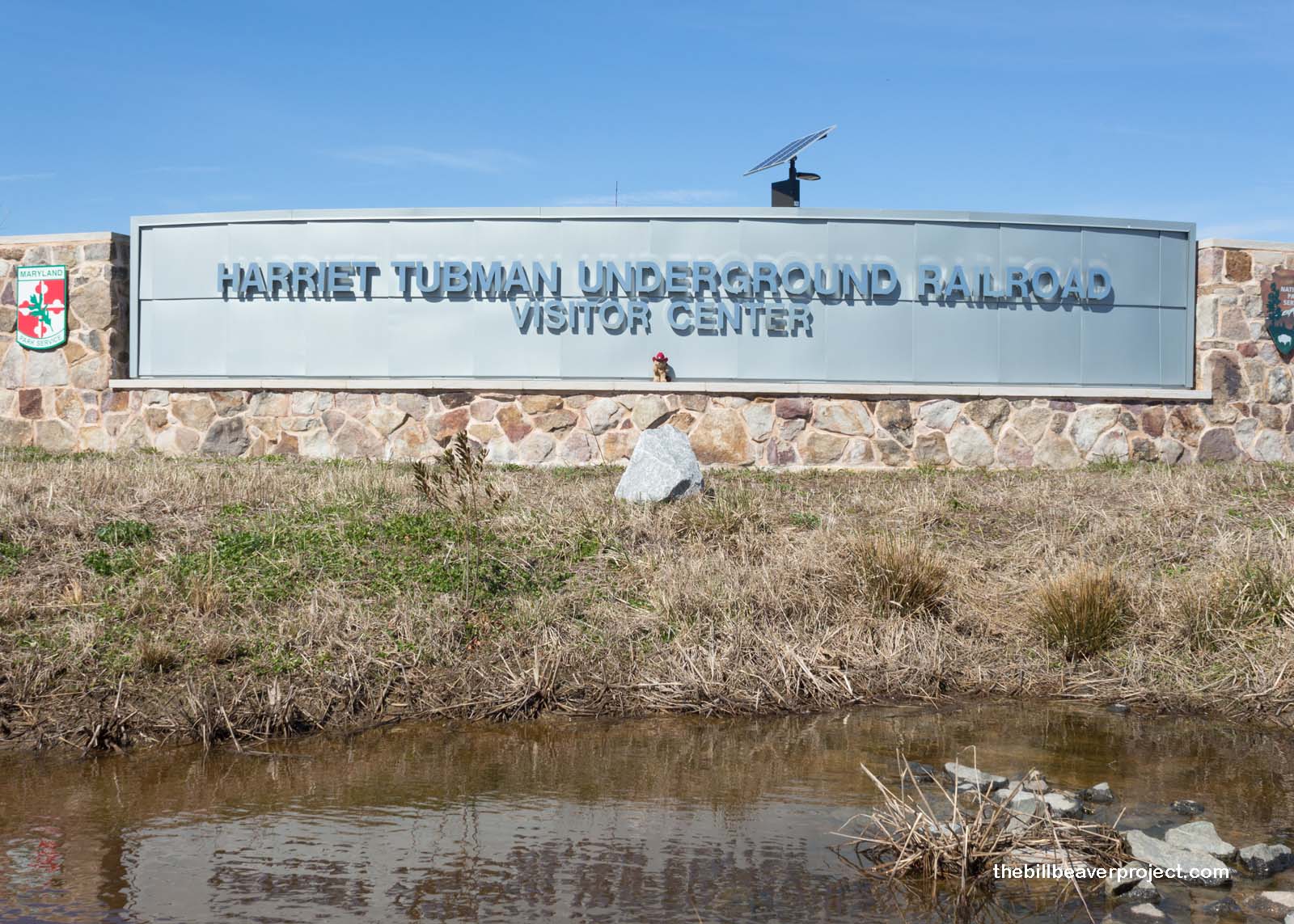 |
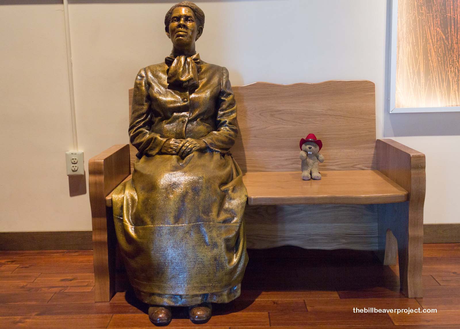
Not to be confused with Harriet Tubman National Historical Park up in Auburn, New York, where the famed slave rescuer ended her days, this park (once it’s fully set up) will preserve and teach about the places where Ms. Tubman’s mission, which rescued over 70 slaves, began!
 |
Down the road from the visitor center, a single plaque marks the site of the Brodess Farm, where Ms. Tubman spent many of her early years, until she was separated from her family at the age of six to be put to work setting muskrat traps!
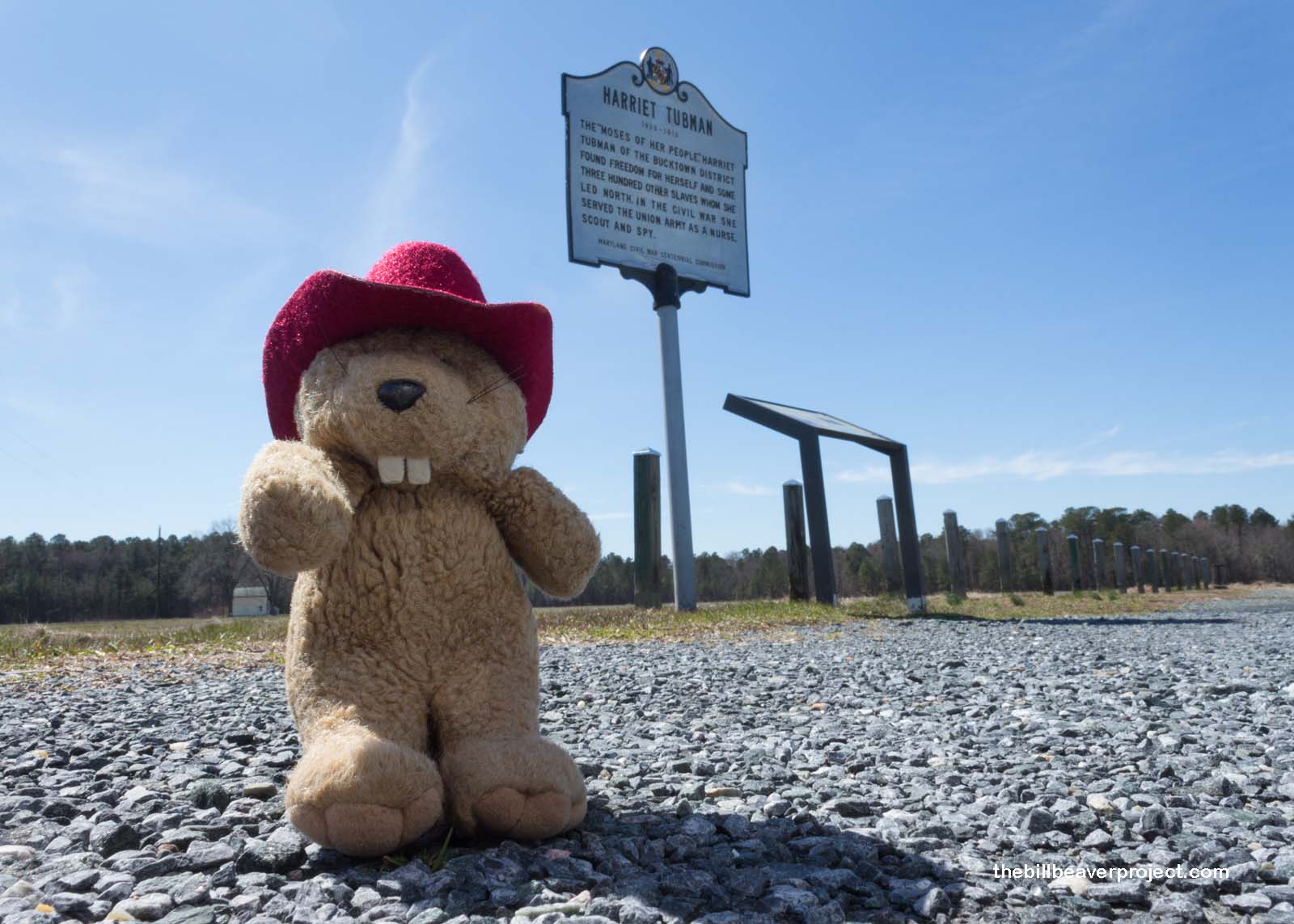 |
When she was 13 years old, Ms. Tubman entered the Bucktown Village Store to purchase supplies when she encountered a runaway slave being beaten by his overseer. When she refused to help restrain her fellow slave, the attacker hurled a two-pound iron weight at her head, cracking her skull, and producing the visions that would later compel her to begin her rescues. 13 would also be the number of times she would return here to rescue the rest of her family and a whole bunch of other people who did not deserve to be treated the way they were!
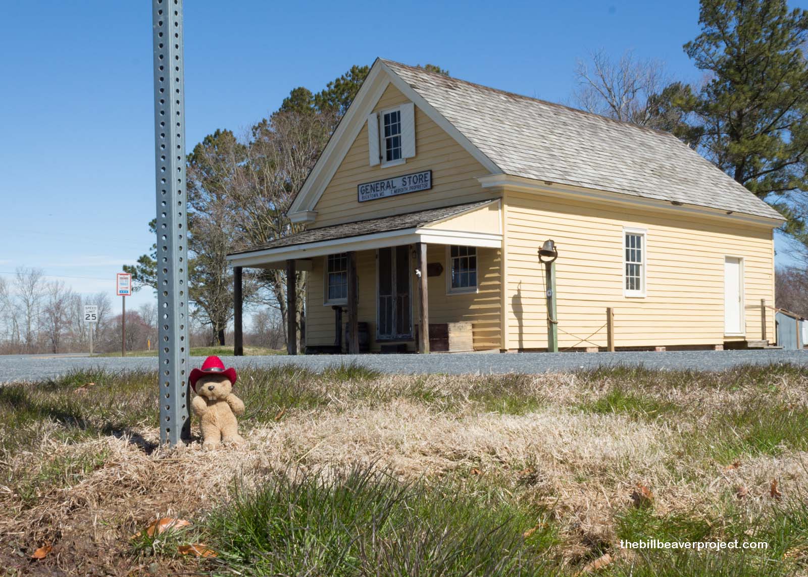 |
By this point, the chilly winds were really whipping, so I wasn’t able to spend much time here. Only five years after President Obama added it to the National Park Service, there’s still a lot of development to be done in this park, part of the Harriet Tubman Underground Railroad Byway. So, without further delay, I continued my quest across the Chesapeake, pausing long enough to see Maryland’s State Capitol building at Annapolis, once the nation’s capitol, where the US ratified the Treaty of Paris in November of 1783, ending the Revolutionary War!
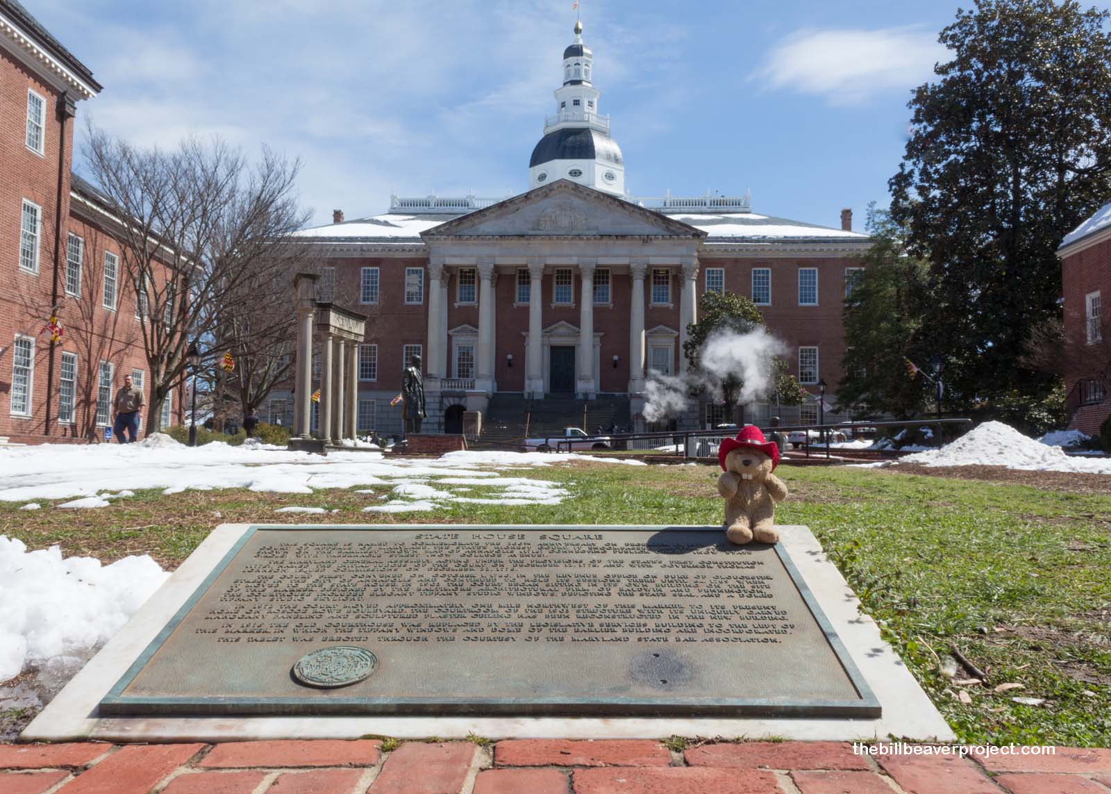 |
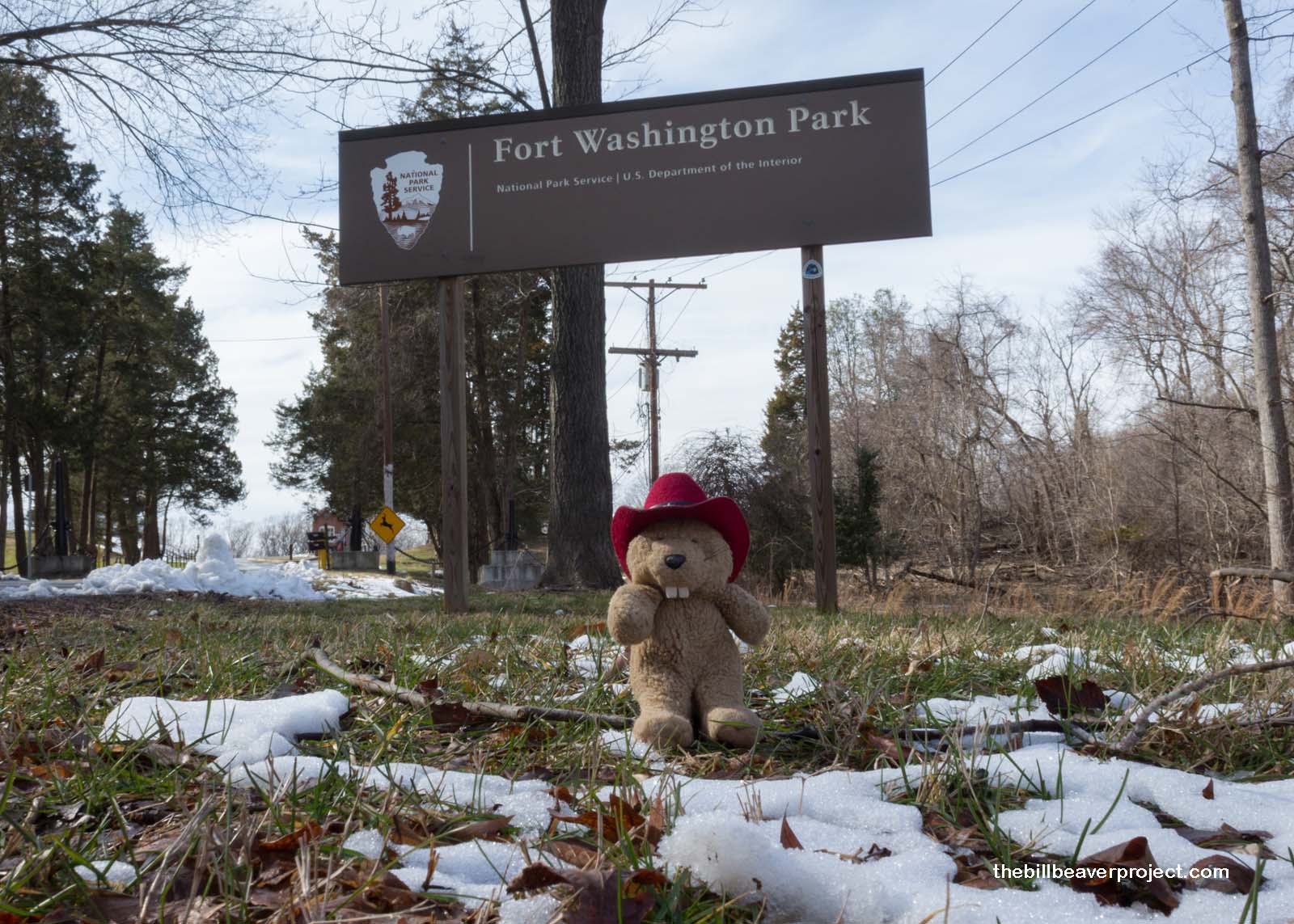
My next stop across the Bay was Fort Washington Park, one of the National Capital’s historic defenses along the Potomac!
 |
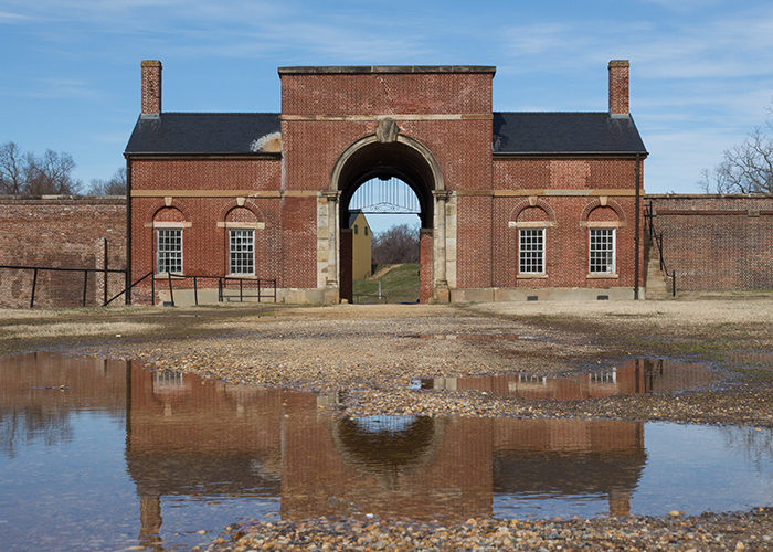
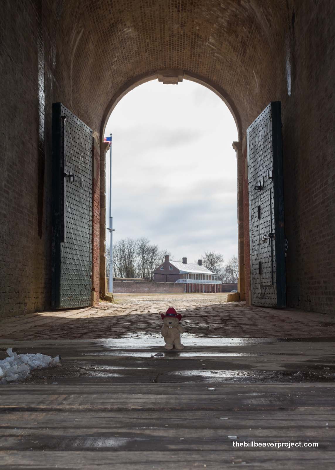
Built to fend off the British during the War of 1812, this fort has undergone plenty of changes over the years. First called Fort Warburton when constructed in 1809, it was destroyed by the British in 1814 and rebuilt as Fort Washington to defend the capital during the Mexican-American and Civil Wars!
 |
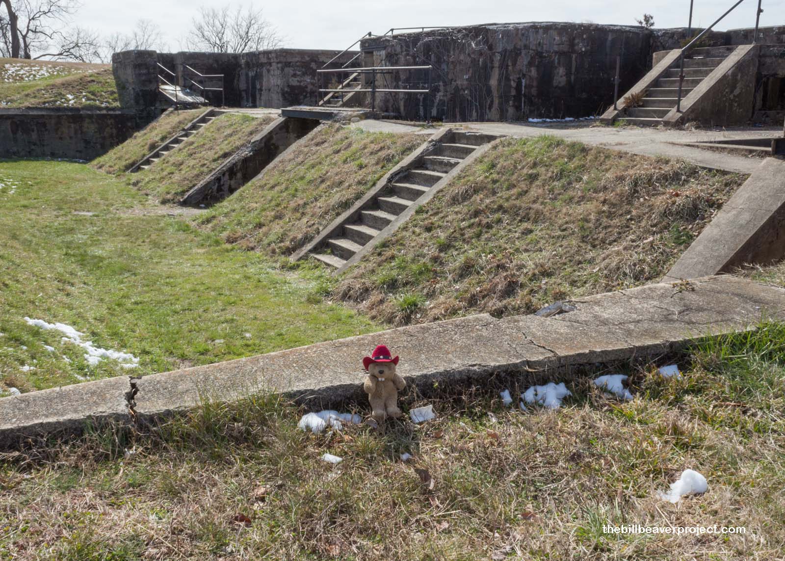
Finally, this complex got makeovers for both World Wars, first as a concrete and steel fortification called the Endicott System during World War I, and finally as the Adjutant General School, training new officers during World War II!
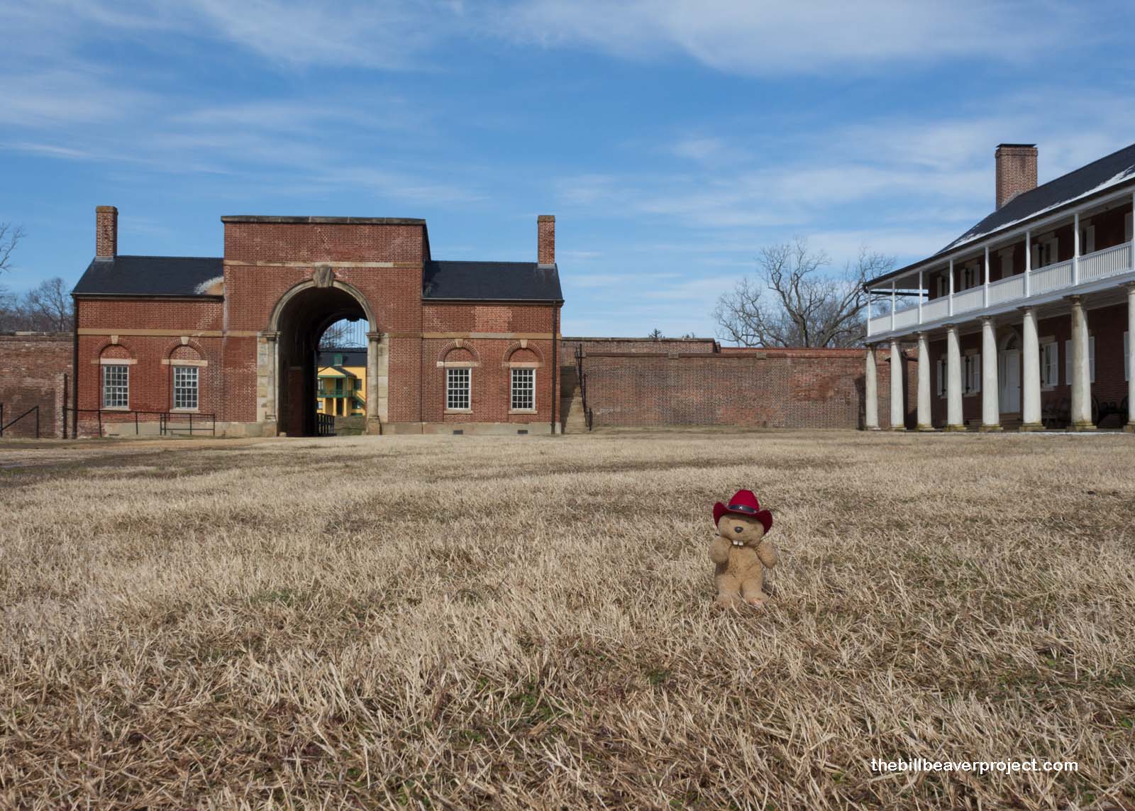 |
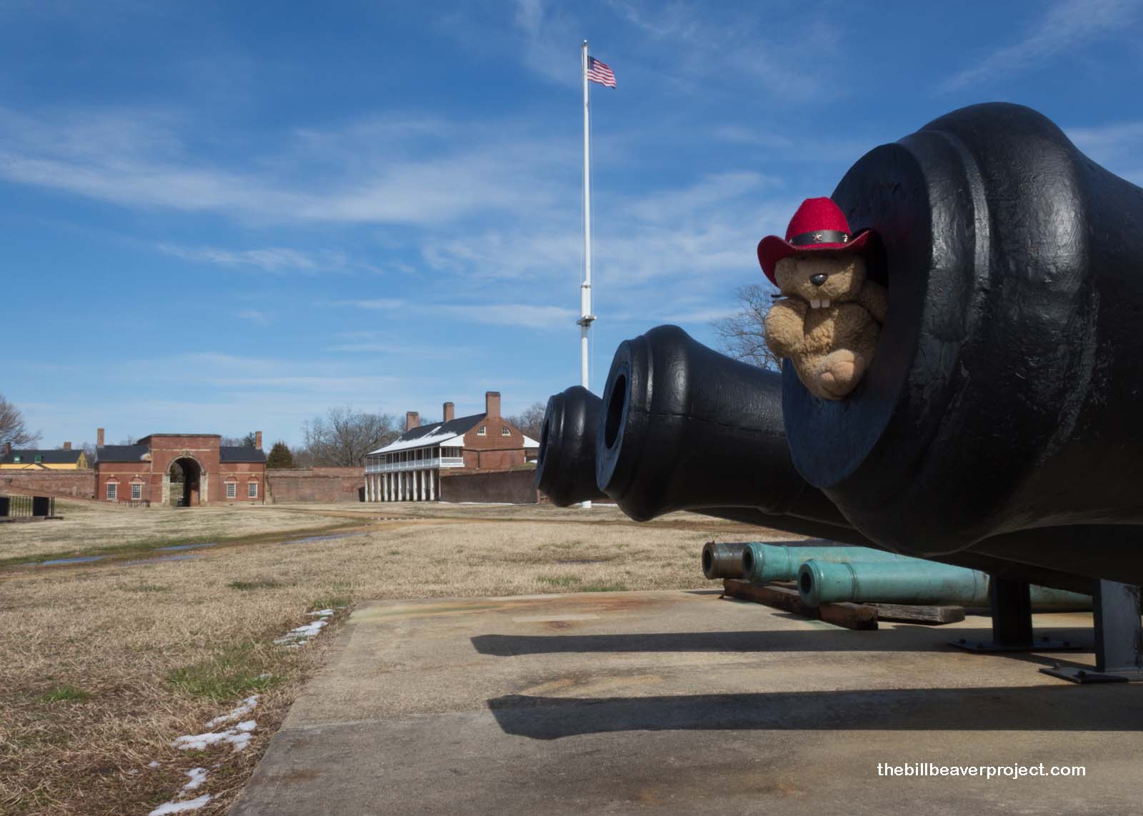 |
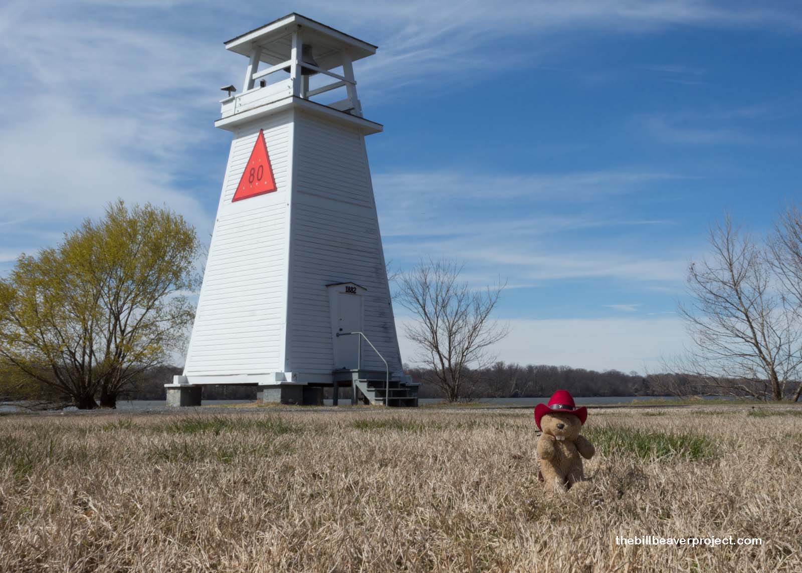
Down by the carefully guarded Potomac, a 19th-century lighthouse (Light 80) protected ally ships on the water, while the riverside defenses were poised to destroy enemy combatants. They would not only use barrels filled with gunpowder (early torpedoes), but they would also fire cannon balls from the battlements, using the surface tension of the water to bounce the balls across the Potomac until they struck the sides of the target ships!
 |
 |
As quickly as a torpedo, I had to jet away, because nearby Piscataway Park was on the verge of closing for the day! This park would certainly be unique, built for the sake of preserving other pieces of history!
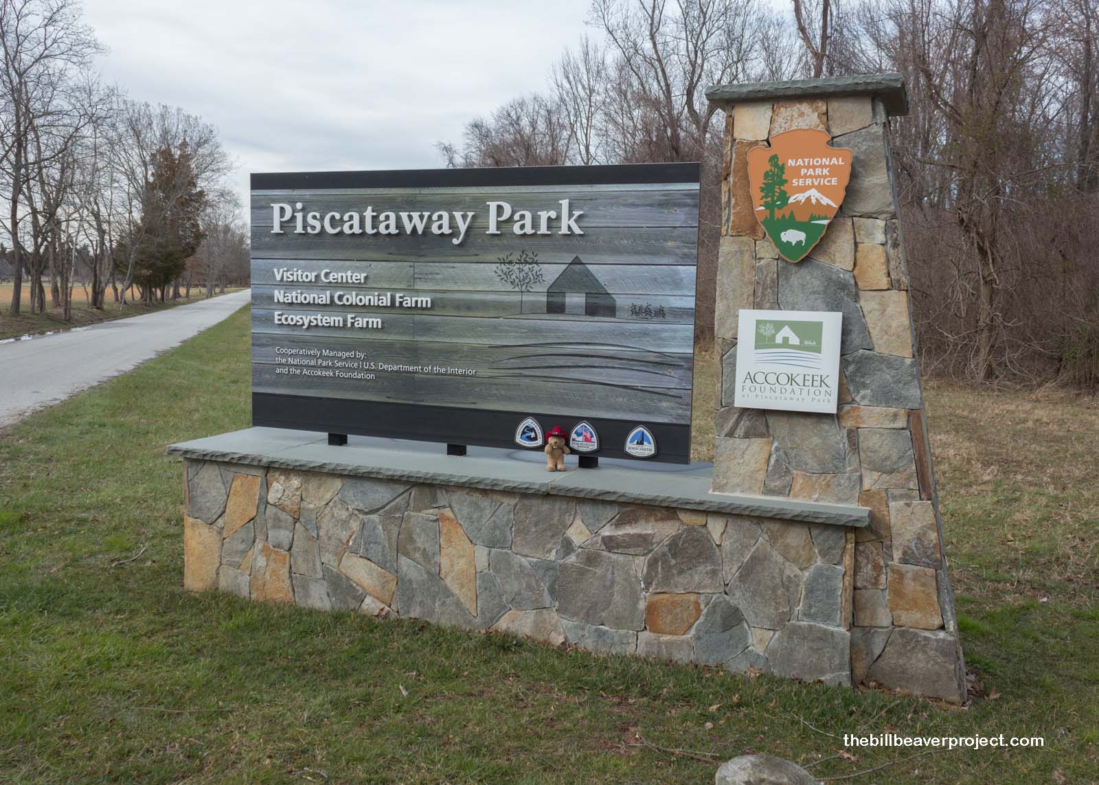 |
I started off by wandering down to the confluence of Accokeek Creek and the Potomac, which was set aside to protect the views of George Washington’s Mount Vernon estate across the river!
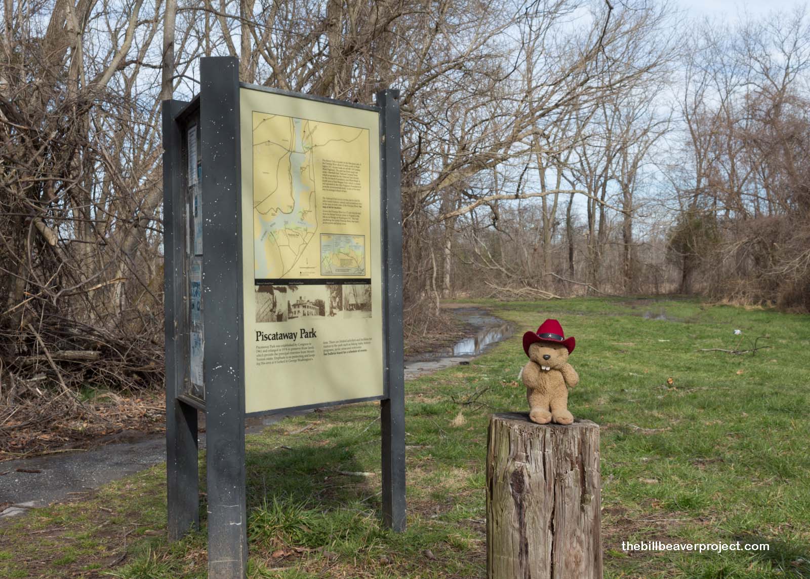 |
There was a boardwalk across the winter-beaten wetlands, some of the rare ones still remaining along the Potomac. As I’d learned years before at Kenilworth Aquatic Gardens, early settlers did not see any value in wetlands at all, so special protections for these important ecosystems fell under the jurisdiction of the National Park Service!
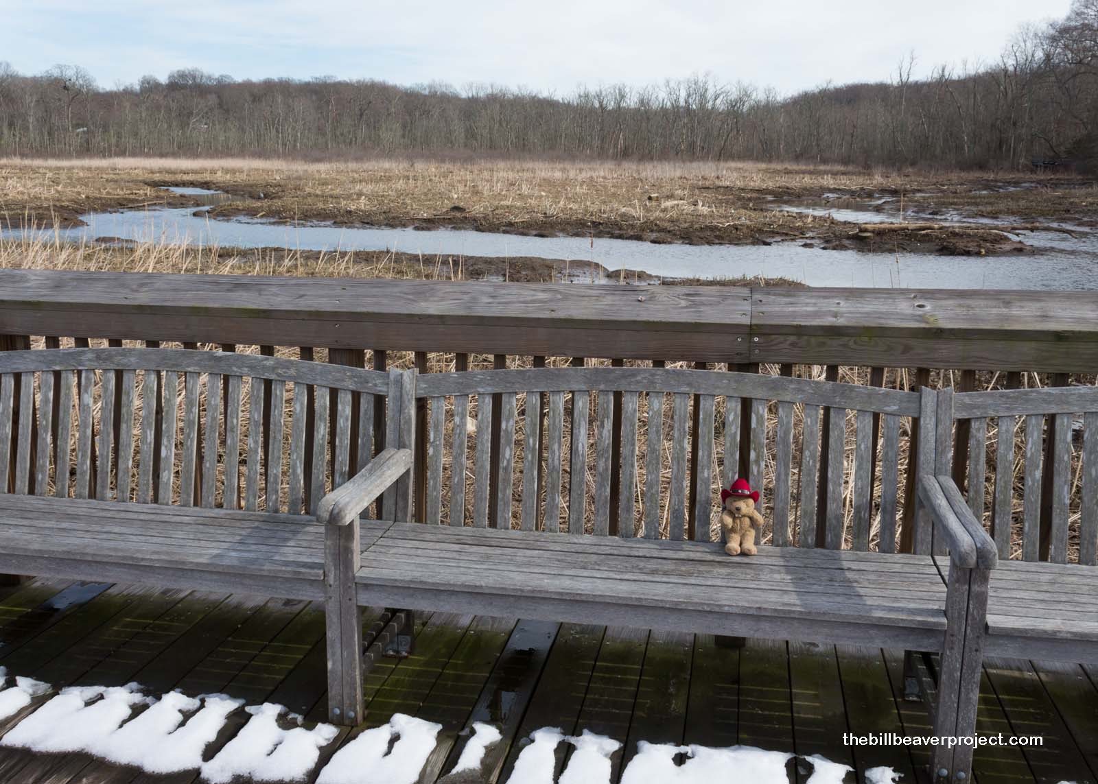 |
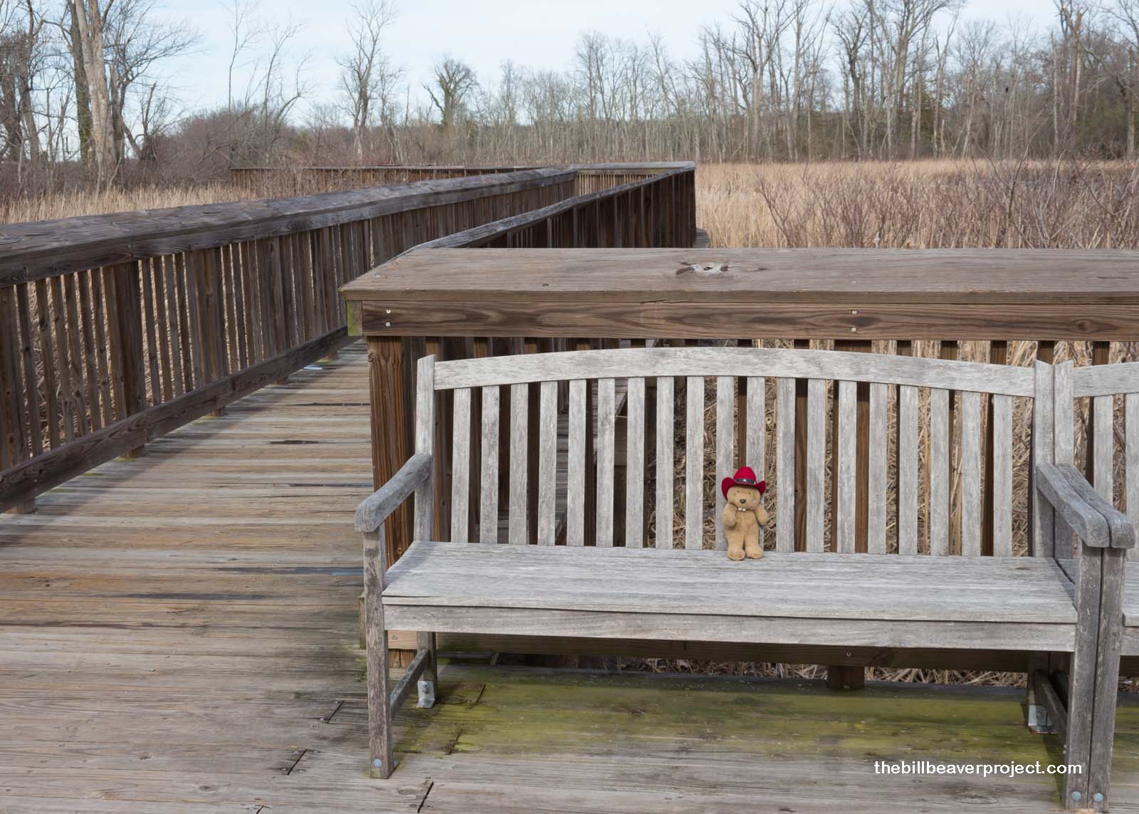 |
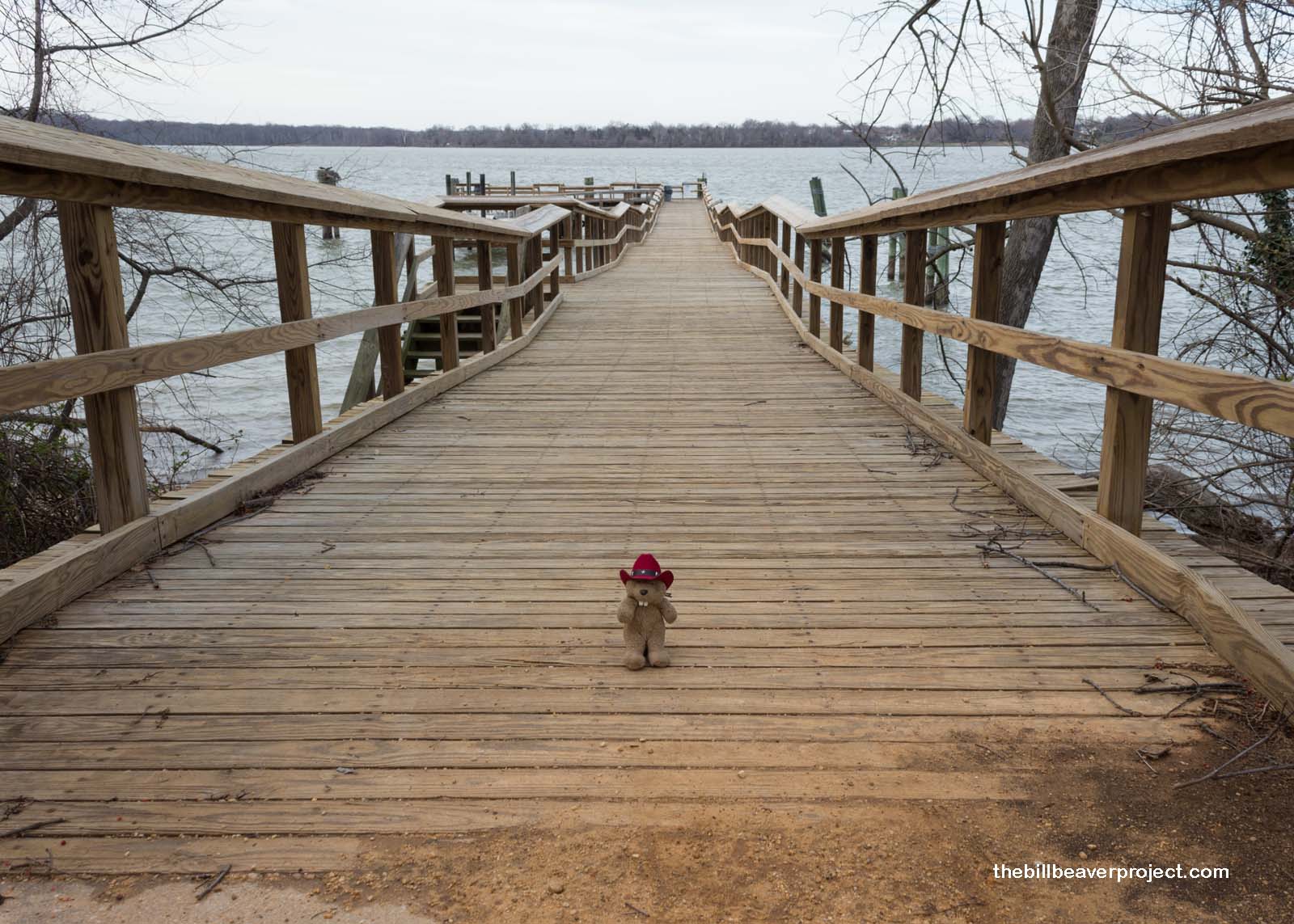
Just downriver, a dock marks the spot where English explorer, John Smith, came ashore during his two-year mapping expedition of the greater Chesapeake area! His journals provide a detailed account of what he discovered (a land that probably looked more like the preserved wetlands than anything else), including his famous encounters with the Powhatan people!
 |
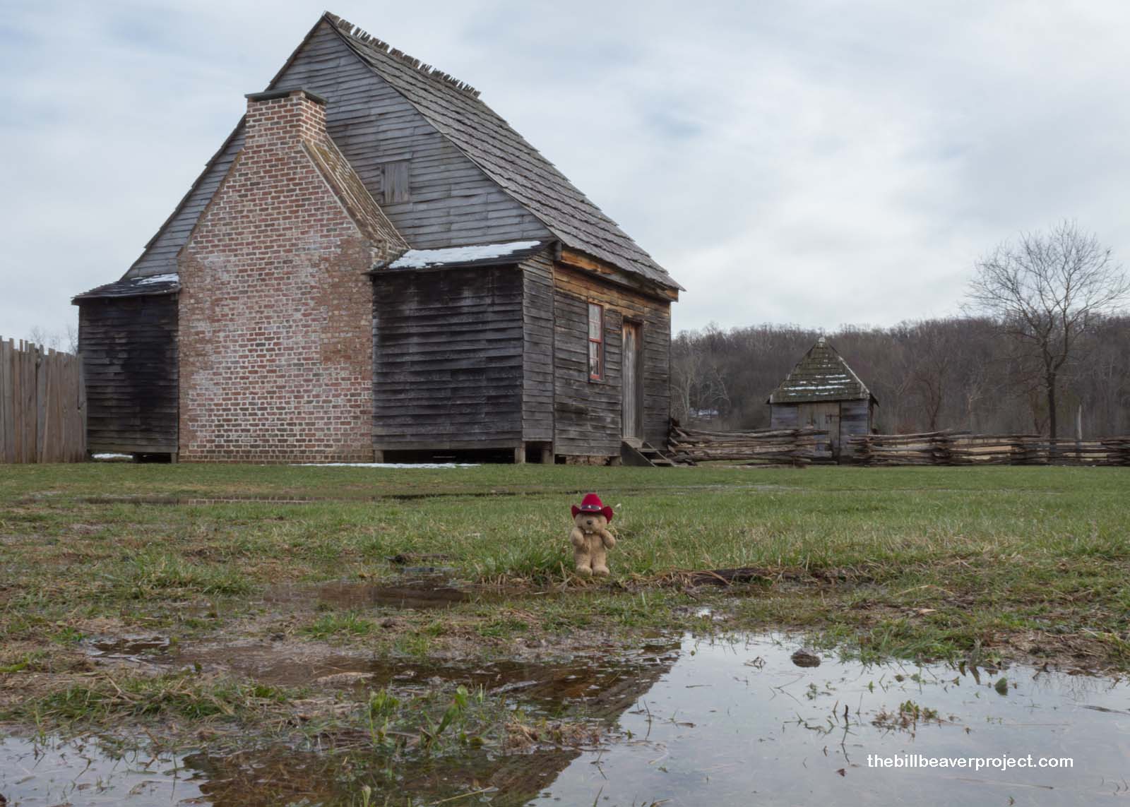
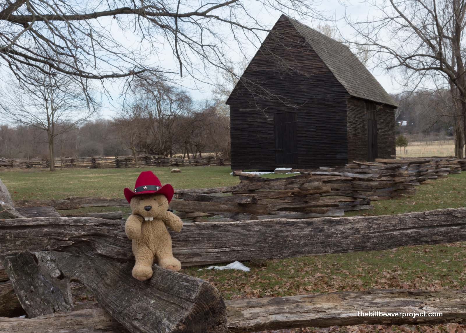
But even more fun for the whole family is the National Colonial Farm right here! Built in the spirit (if not the time) of a pre-Revolutionary farming family, this small farm gives folks a really immersive glimpse into what life was like in the early days of the nation’s founding. If it was anything like today, it was gray, cloudy, and cold without central heating to retreat to!
 |
 |
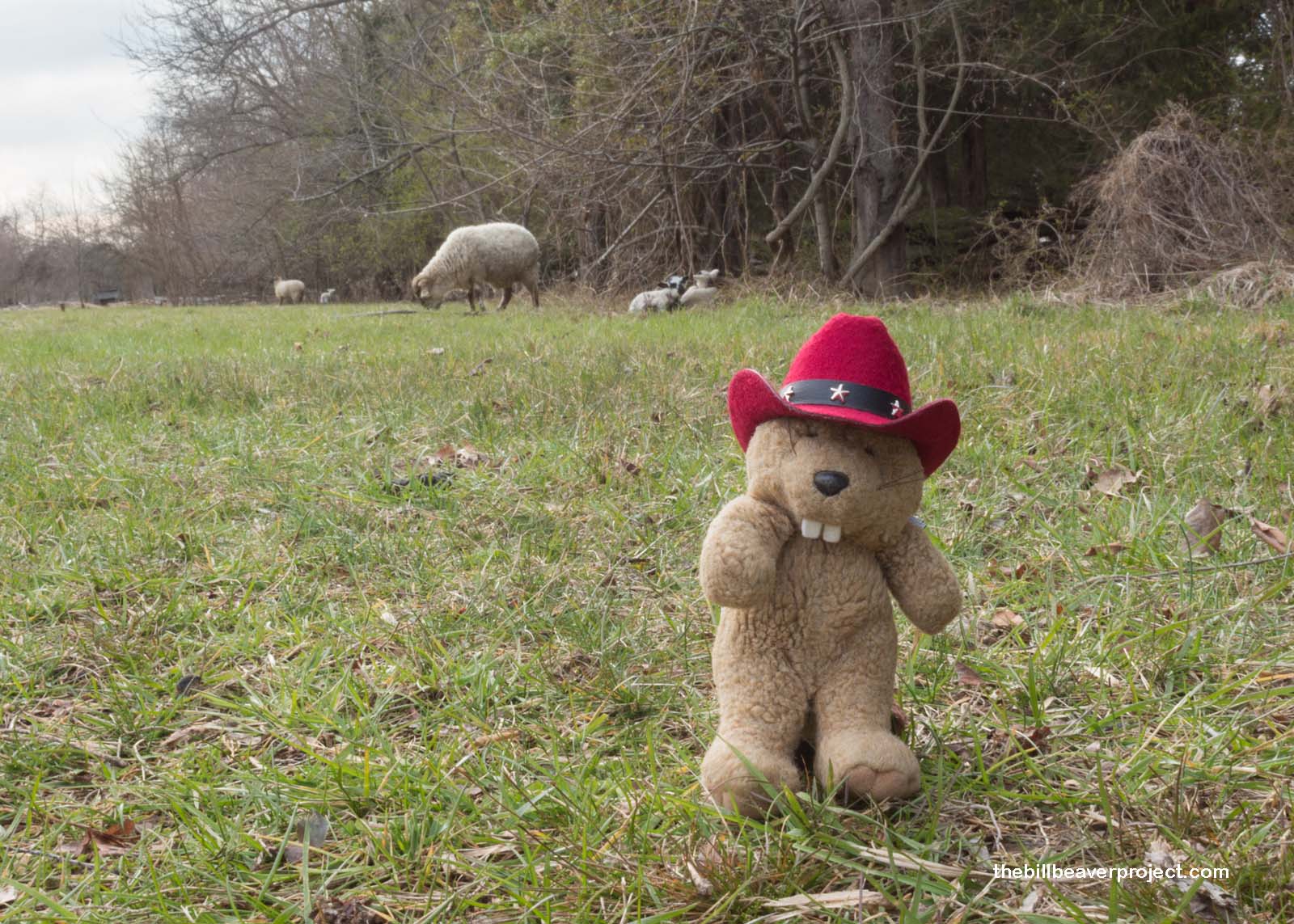
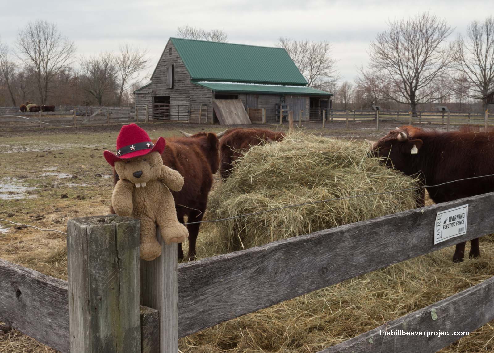
But what’s really interesting about the National Colonial Farm is that it preserves a number of otherwise extinct crops and livestock breeds, like Hog Island sheep, a unique breed that became feral on Hog Island, Virginia, and American Milking Devon cattle, which branched off from cattle brought over from England’s southwestern peninsula!
 |
 |
Daylight was fading fast, and I was running out of time to see two more parks before sunset! I had to reorganize my agenda and make some cuts! So, I headed into DC to see what I could see at Anacostia Park, hoping for sight of some famous spring blossoms.
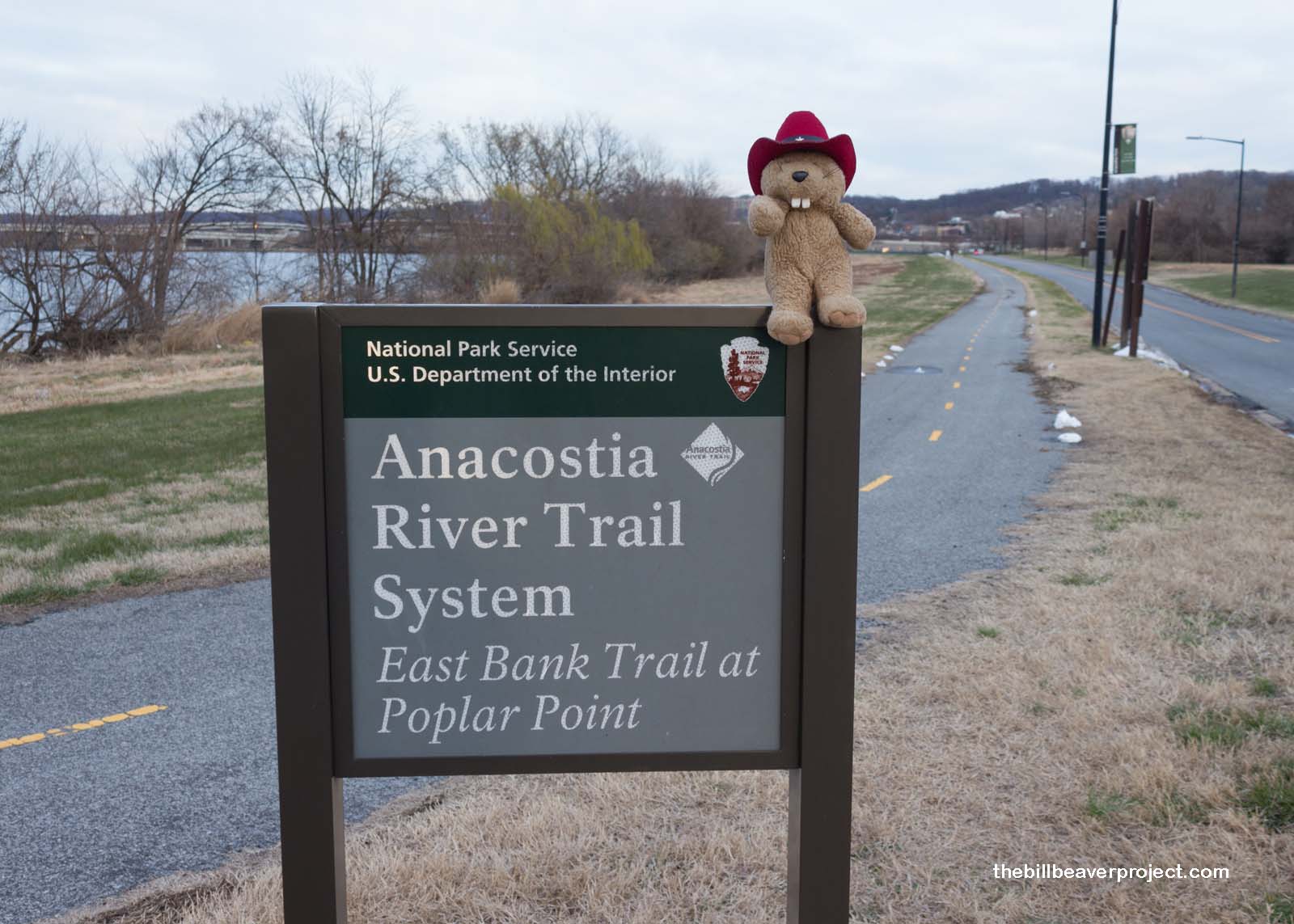 |
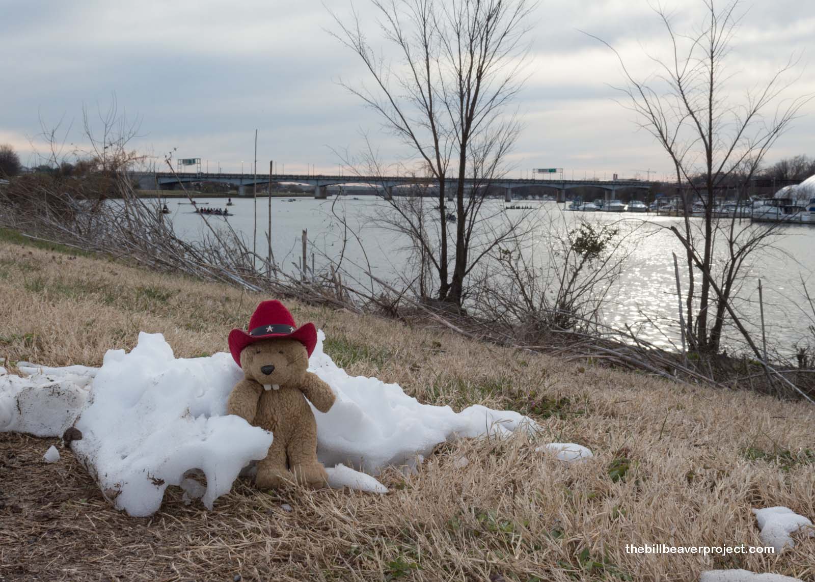
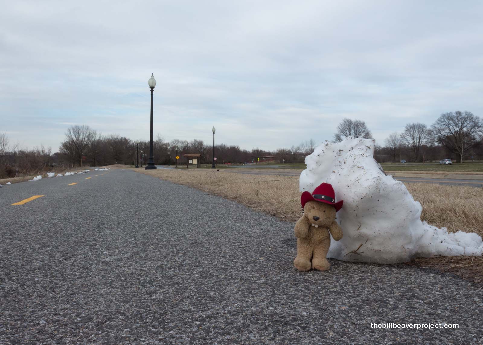
What I got instead was ice, ice, and chilly, gray gloom! The wind was bitterly cold, and the grass was gray. But, it could have been worse! I could have been on one of the rowing crews making their way up and down the Anacostia River! Brrrr!
 |
 |
I needed to warm up, so I sought refuge at the nearby Urban Tree House. Only then did I discover that the Urban Tree House wasn’t really a tree house at all! It’s the name of a program that teaches kids about the environment and conservation, which takes place here at a gazebo and a map of the continental United States! I figured they must have their meetings on much warmer days than these.
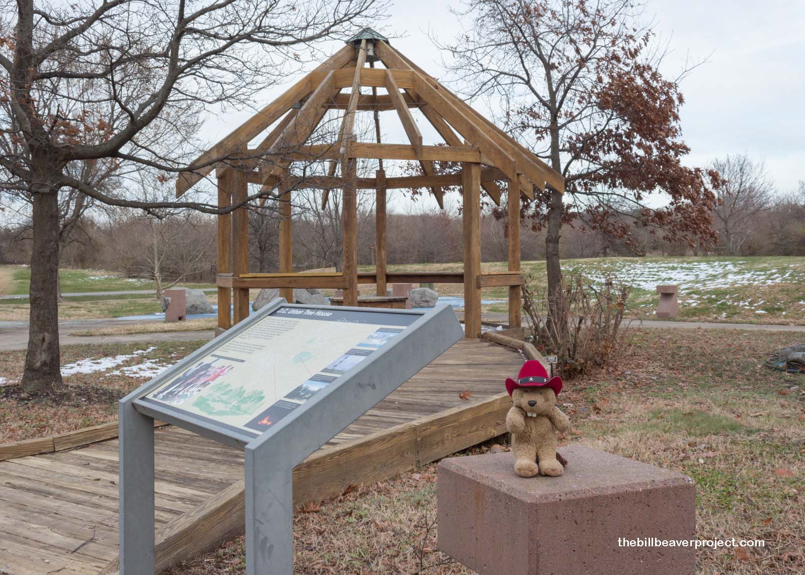 |
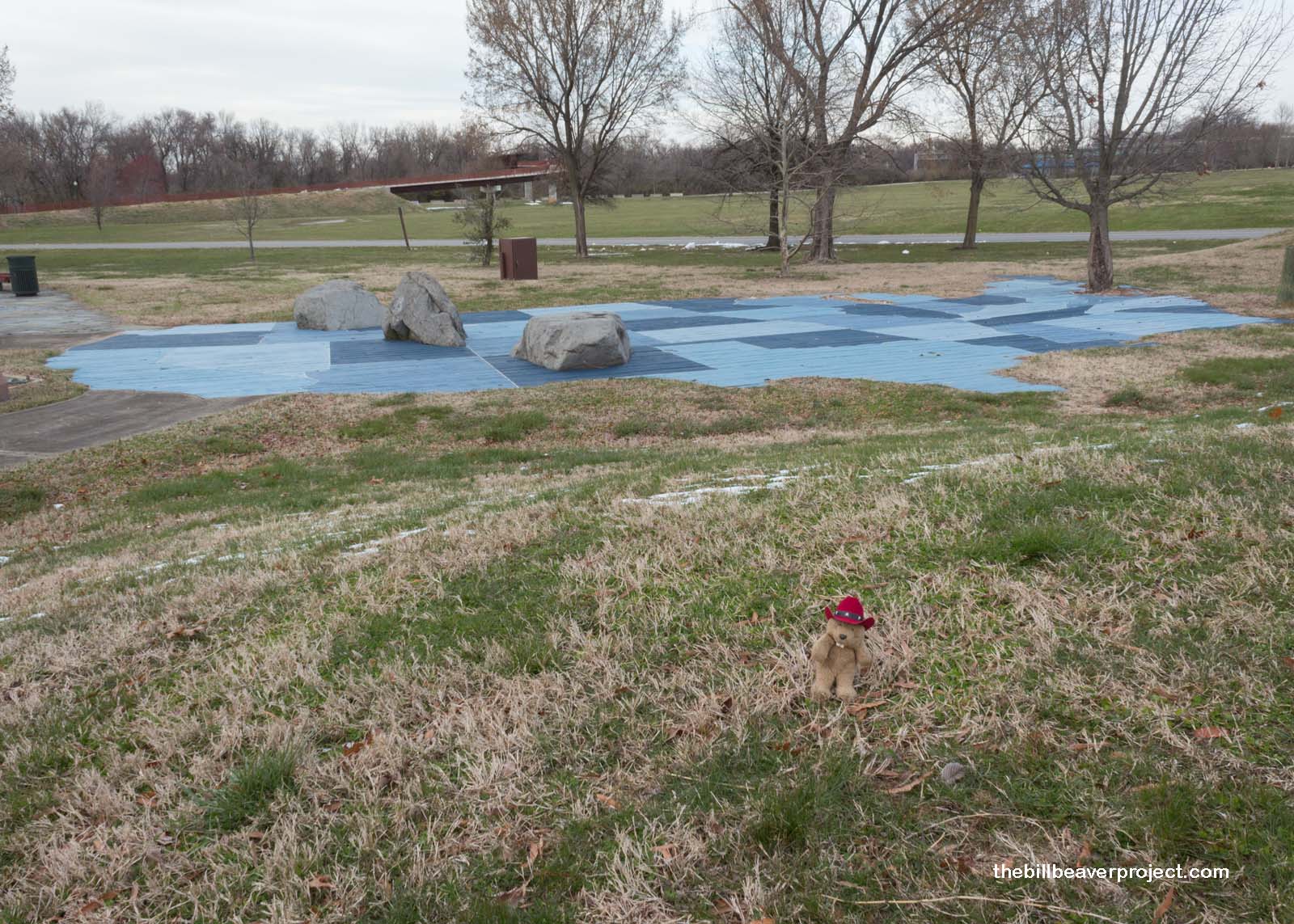 |
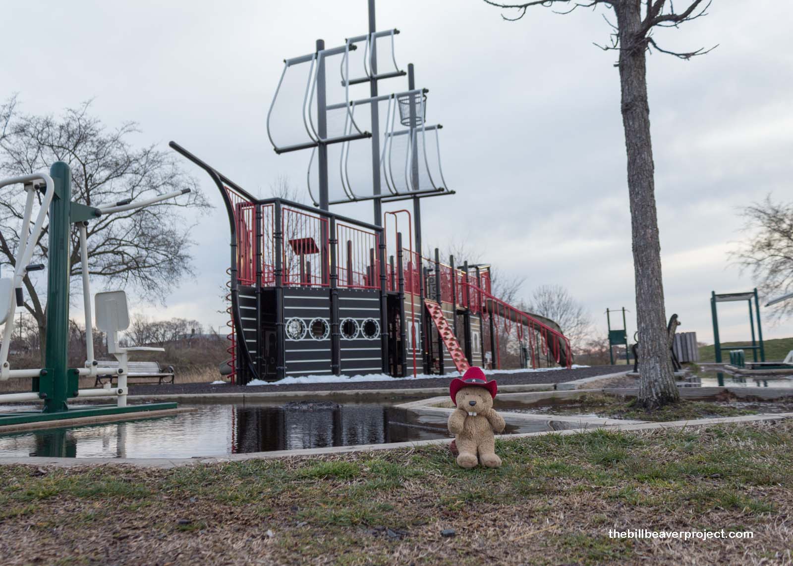
Not to be put off by the gloom and cold, I decided to work up some body heat! This stretch of park along the river is dotted with playgrounds, and even though there wasn’t really anyone else around, I took at least a couple of minutes to climb and slide, if only just to restore feeling to my paws!
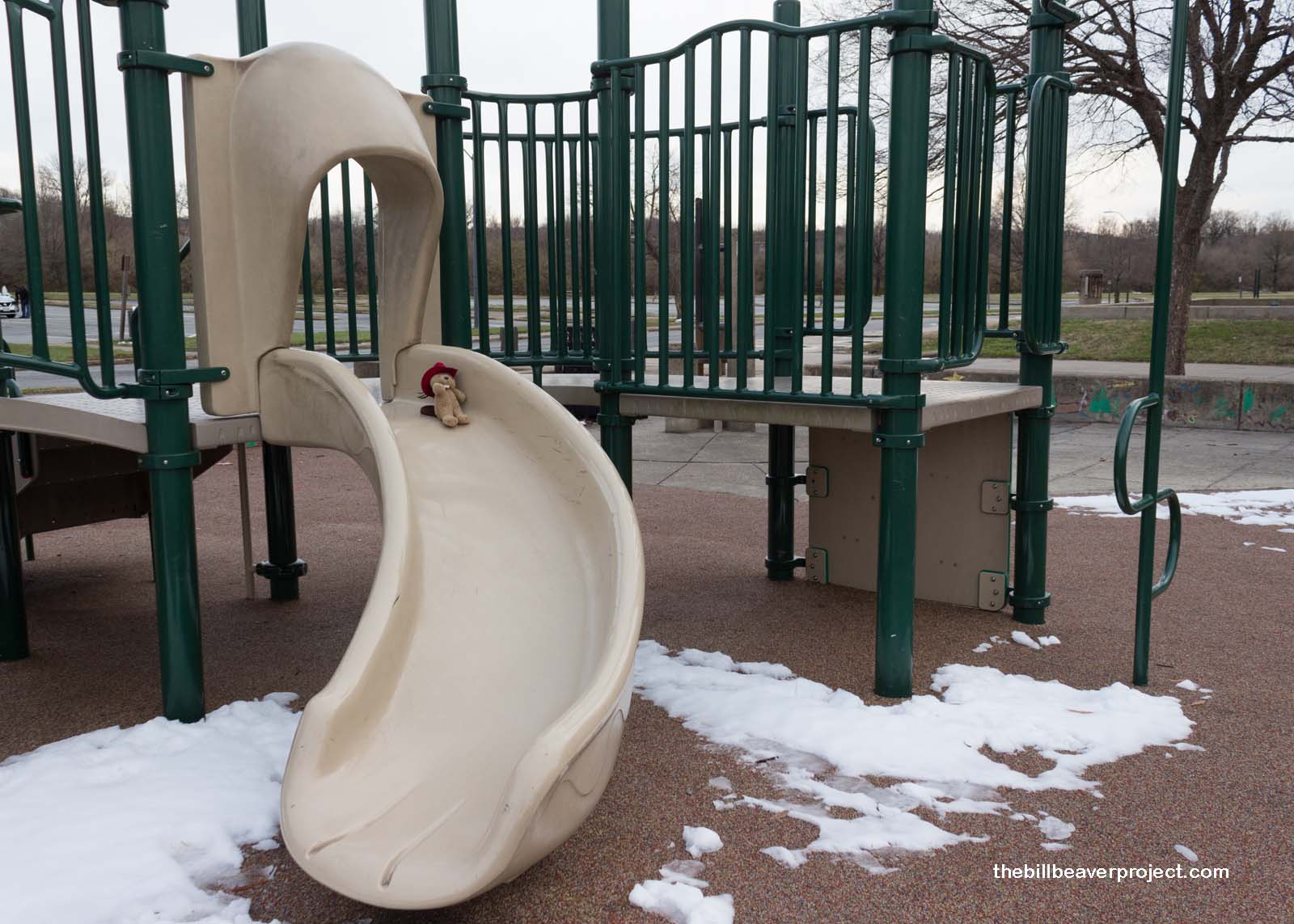 |
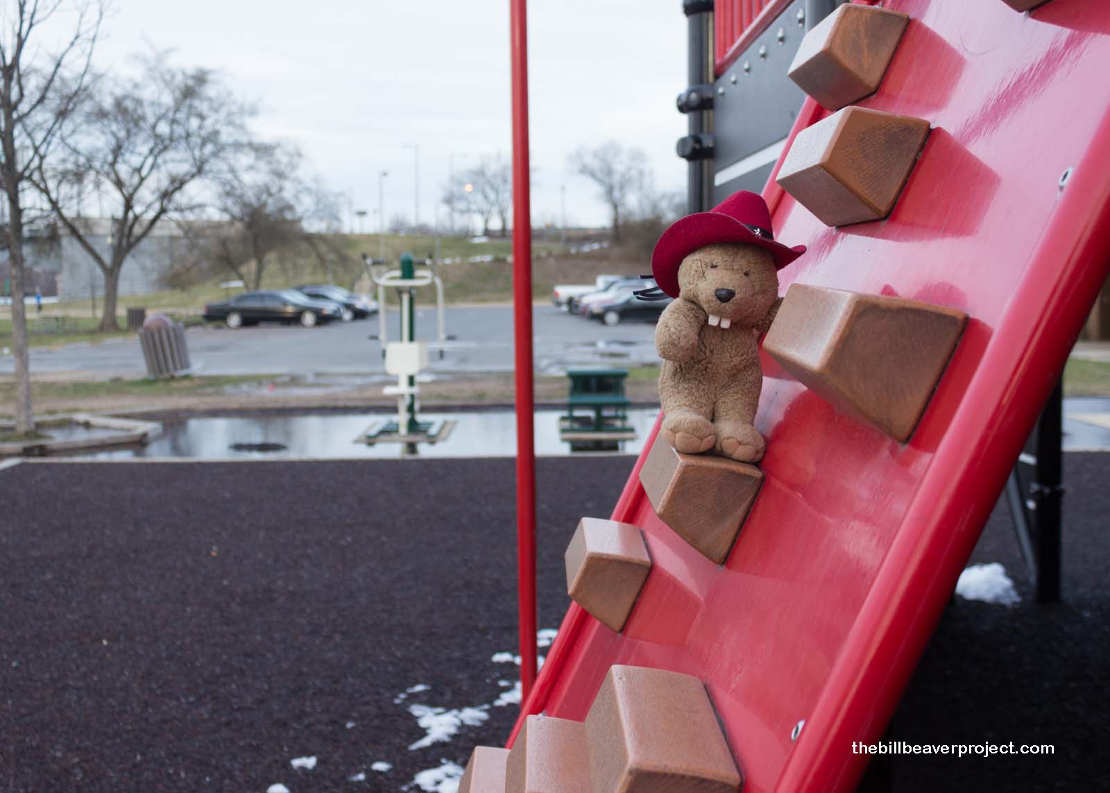 |
Anacostia isn’t an orthodox park in terms of beauty, but if the weather keeps it from being all that scenic, at least there are neat playgrounds to keep it interesting!
 |
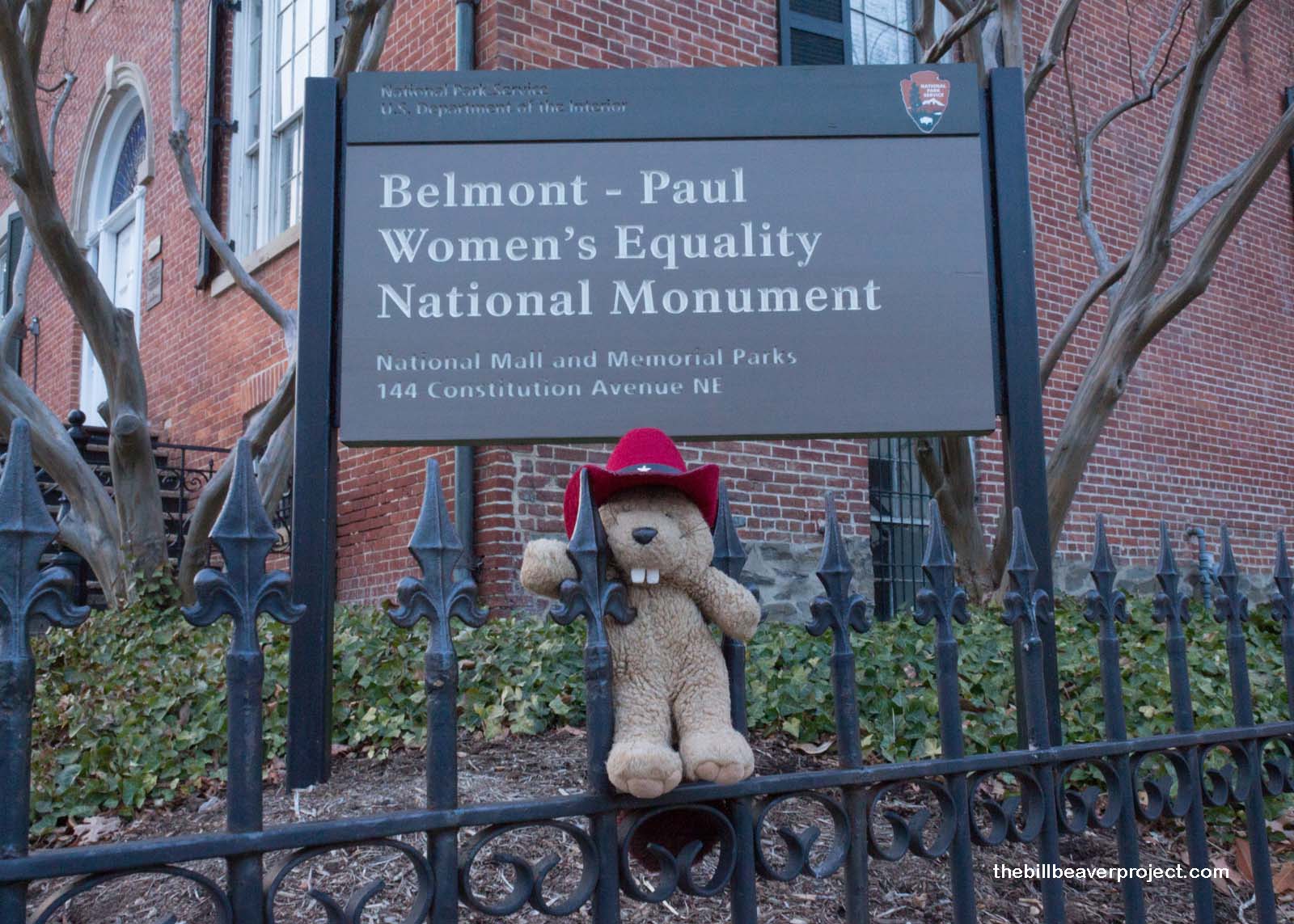
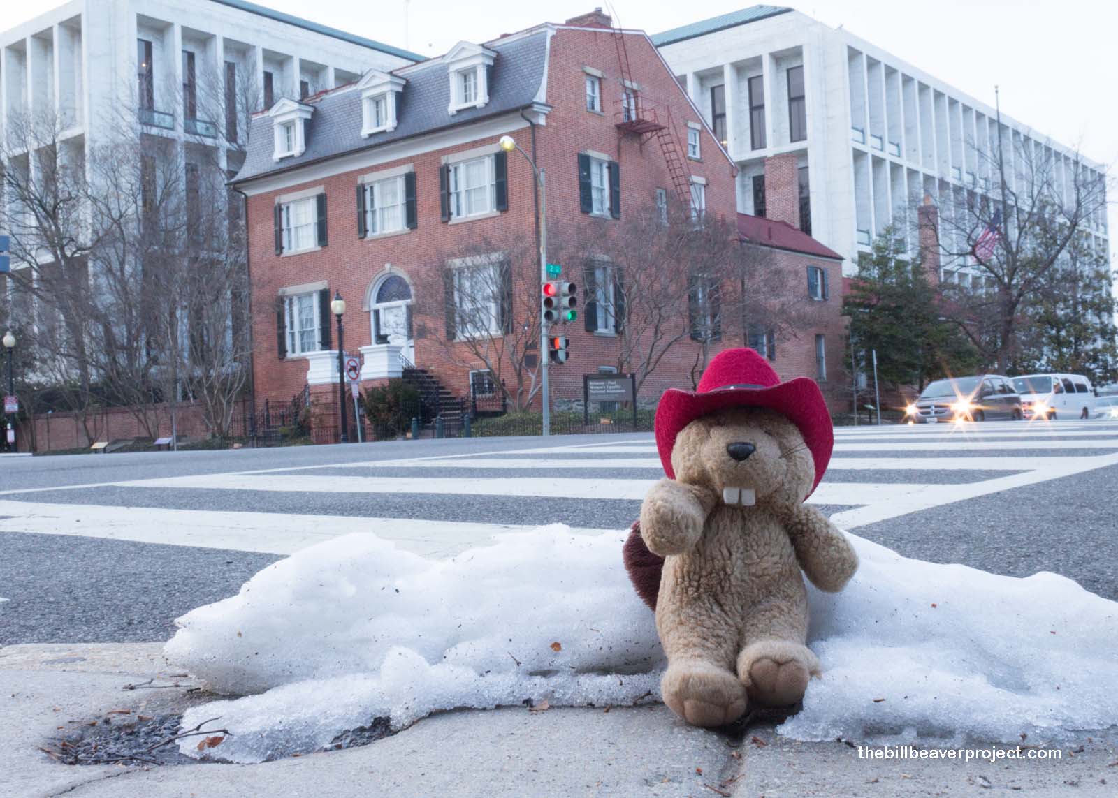
My very last stop before sunset was the outside of Belmont-Paul Women’s Equality National Monument, right next to the US Capitol. It was closed, so I couldn’t go inside (yet), but I counted it as my 99th national park site since my goal is to make Shenandoah National Park my 100th tomorrow! I’ll have lots more information about Belmont-Paul, another brand new national monument once I go inside!
 |
 |
Meanwhile, it’s time to thaw, grab some grub, and prepare for a solid day of hiking in the snow tomorrow!
On my way to old Luray!

 More 2018 Adventures |
Total Ground Covered: 371.0 mi (597.1 km) |
 Next Day |
