 Previous Day |
Luray, VA → Camp David, MD → Vienna, VA 166.0 mi (267.2 km) |
 Next Day |
I had big plans for reaching my 100th national park* today! I was going to get up super early, hustle into Shenandoah National Park, and watch the sunrise from the top of Hawsbill Mountain. There was just one problem. The nor’easter from a few days ago had pummeled Shenandoah and left all 105 miles of Skyline Drive closed! I had two options: Go back to the hotel and snooze, or try another park. Luckily, there was another important park nearby…
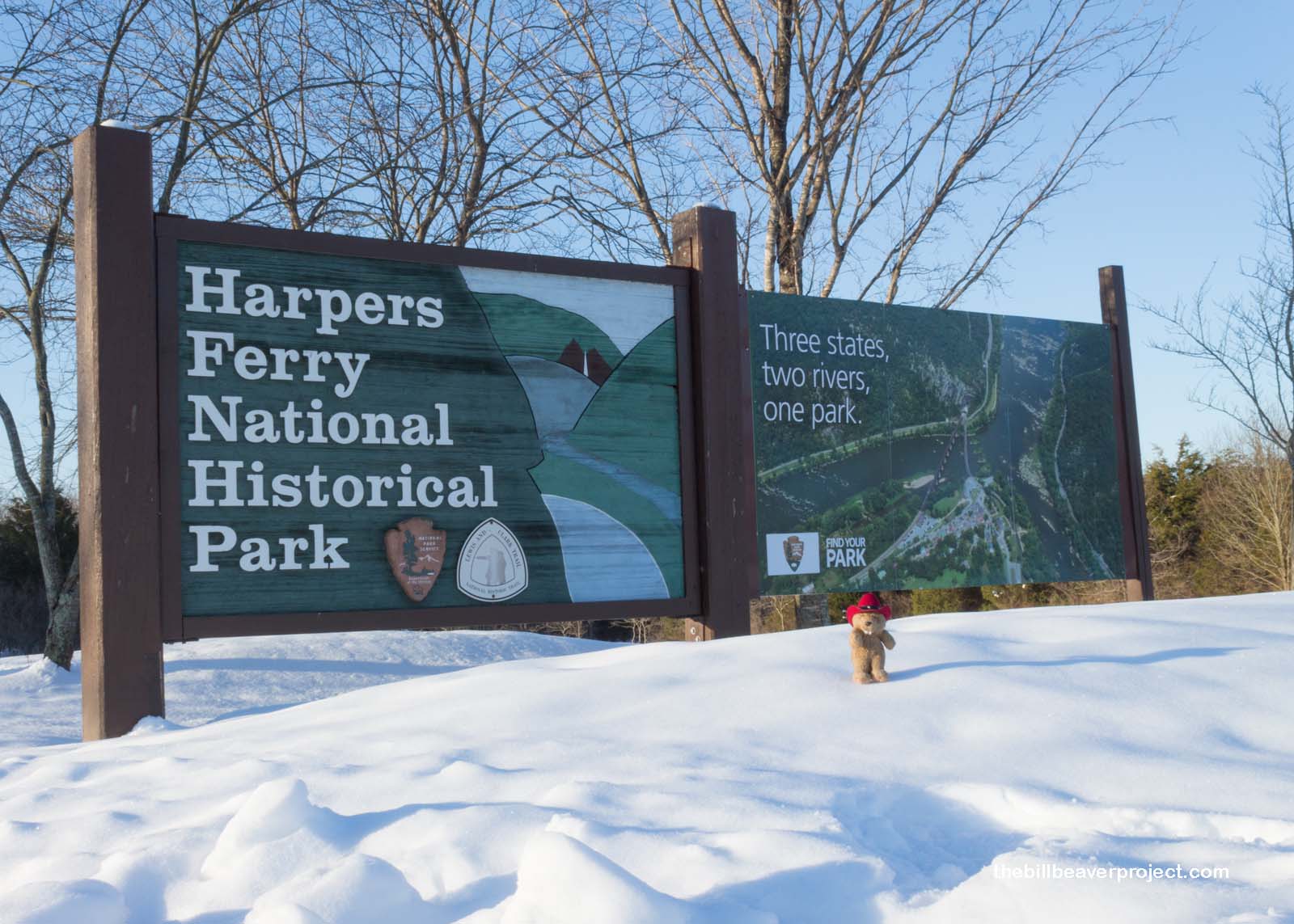 |
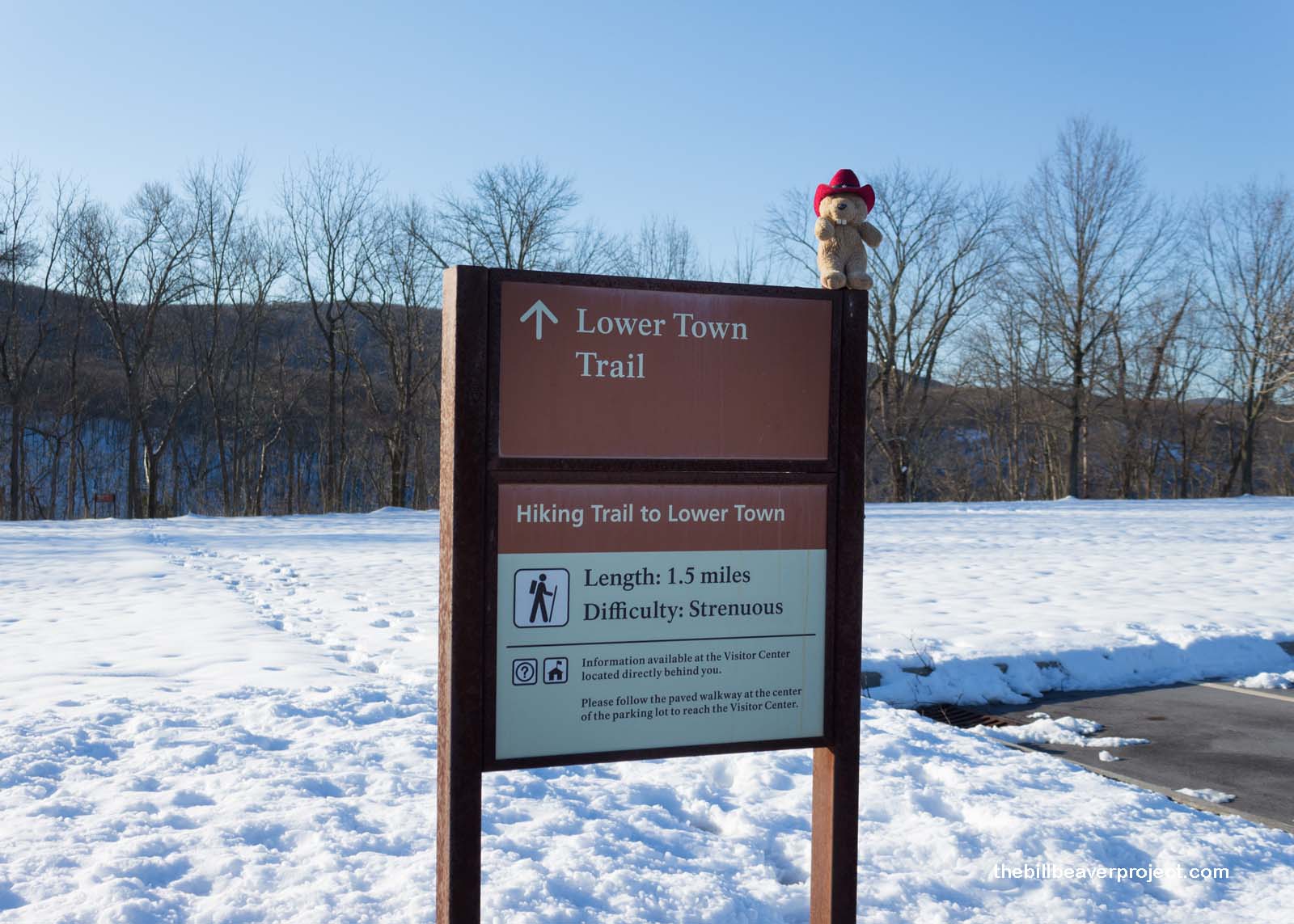
I set foot in West Virginia for the first time at the Lower Town Trail in Harpers Ferry National Historical Park! Since it was still so early, and pretty darn chilly, there was no one else around! Luckily, there were still some footprints frozen into the snow to show me the way from the visitor center down to the road.
 |
 |
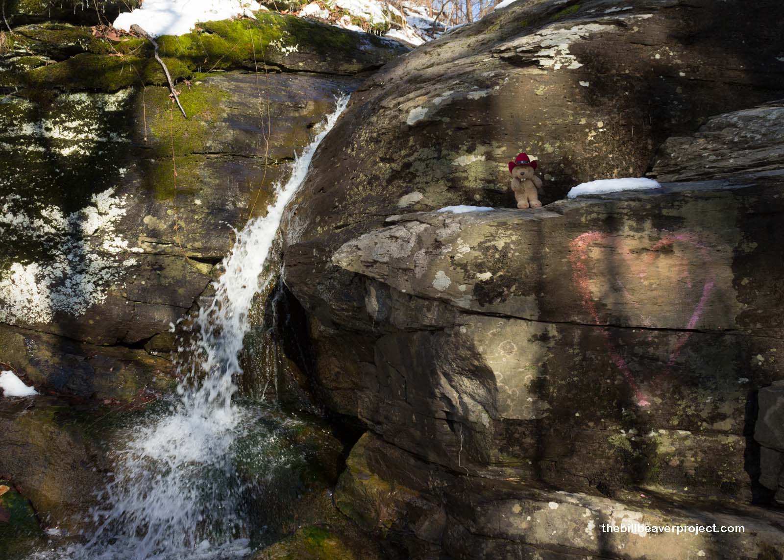
There was even a lovely waterfall right next to the trail! The water sparkled in the sunlight as it cascaded down three levels and would have been lots of fun to dance in, if only it had been warmer.
 |
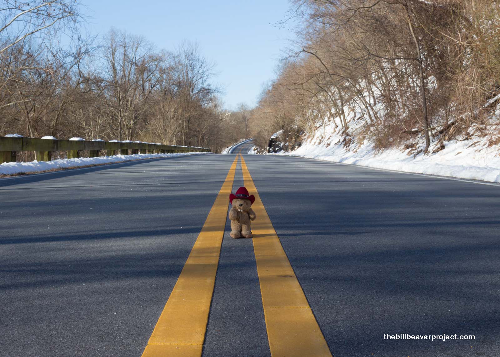
And then the trail hit the road. With so much snow along the sides, it was much easier to walk on the road itself. It made me super nervous, but there really was no one else around. It was kind of spooky, actually!
 |
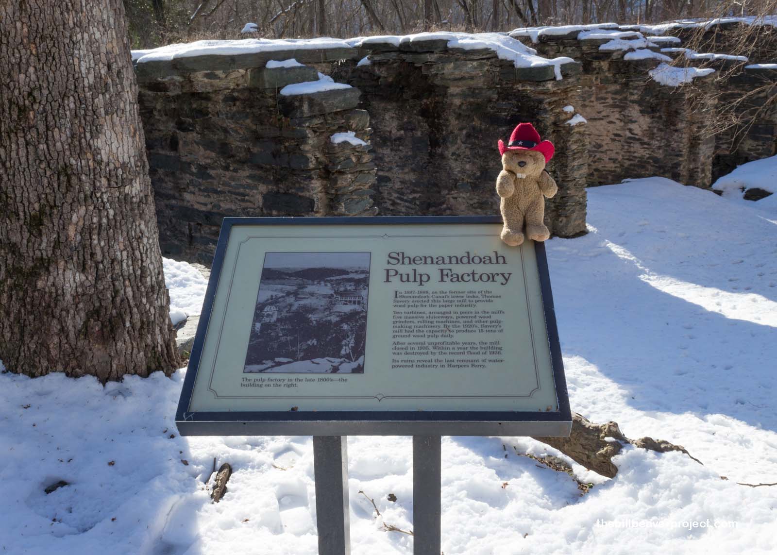
I passed the remains of the Shenandoah Paper Factory, the last remains of water-powered industry at Harpers Ferry. At its height in the 1920s, it was churning out 15 tons of wood pulp per day, but the Great Depression and a big flood in 1936 left it in the state where I found it today.
 |
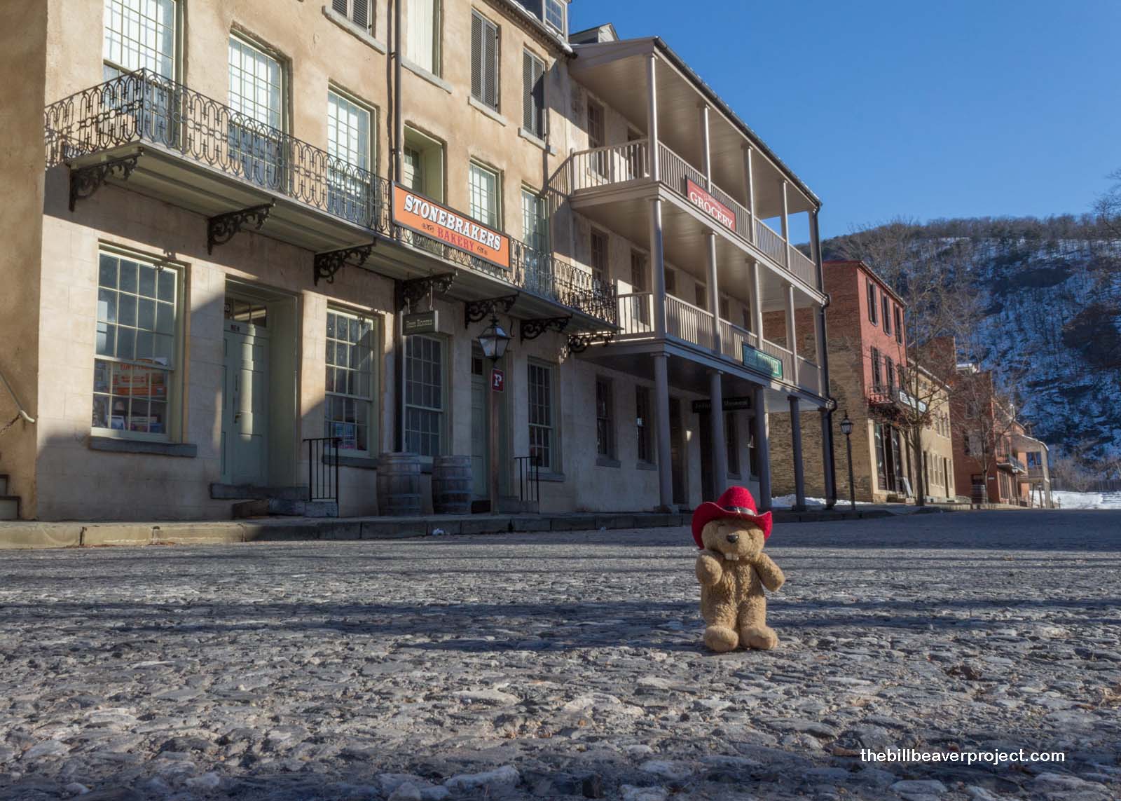
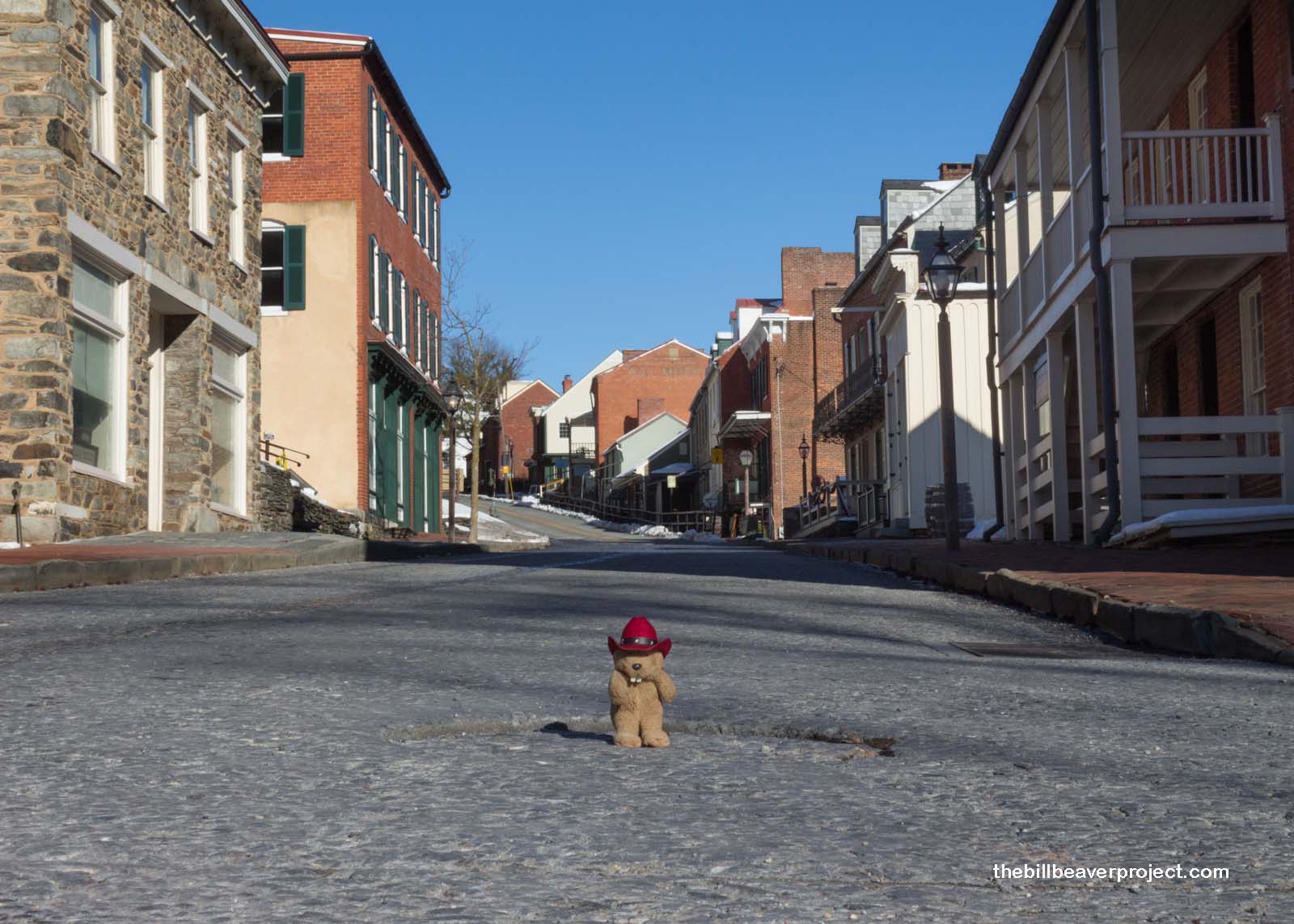
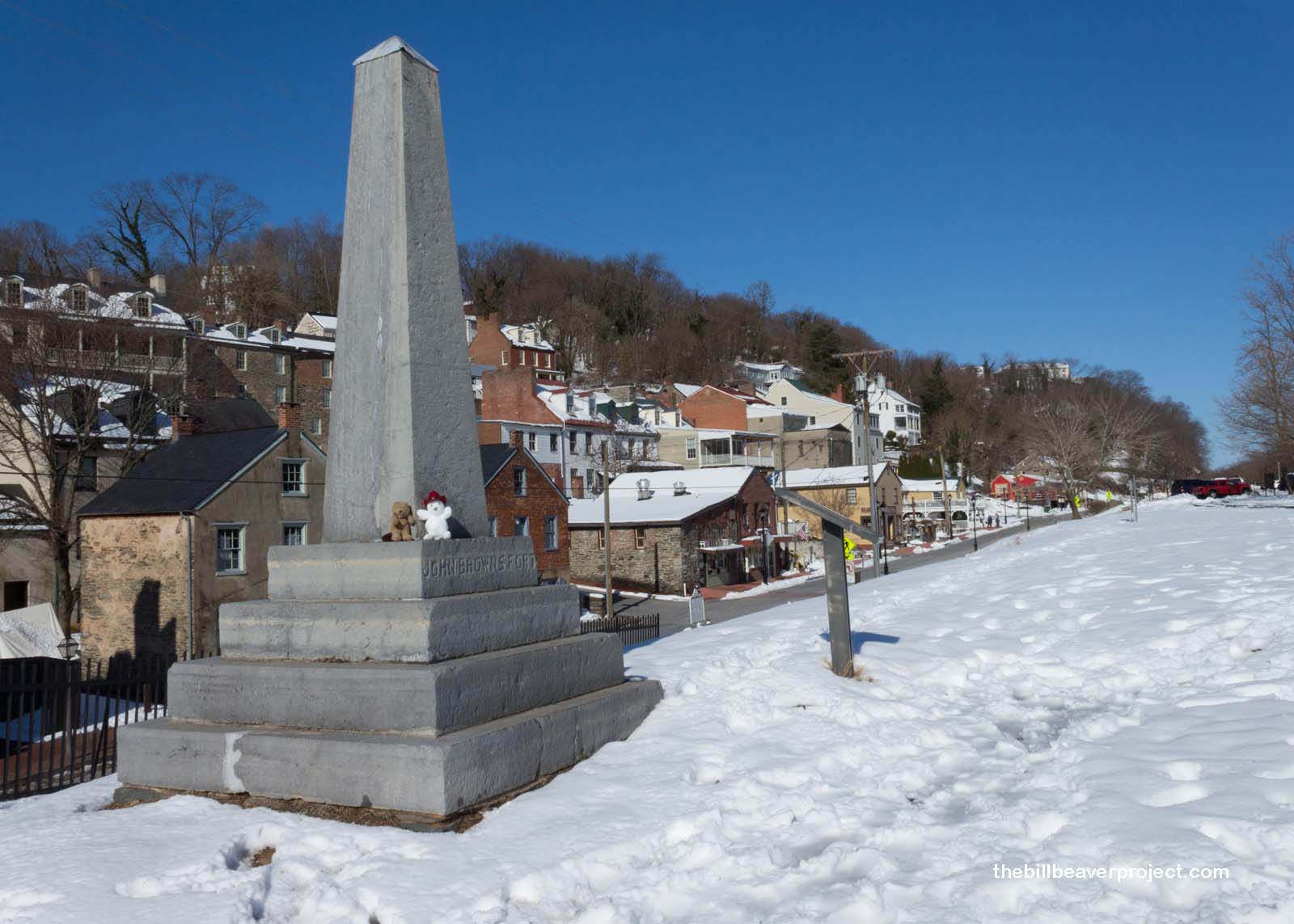
Less than a mile later, I arrived in the Lower Town portion of Harpers Ferry. This charming town, perched at the confluence of the Potomac and Shenandoah Rivers, had its origins in 1751 when Robert Harper decided this would be a great spot for milling and transport and bought a patent to set up a town. This morning, it was quiet and chilly, and with no one else around, I would have to wander more to give the shops time to open and start serving hot chocolate!
 |
 |
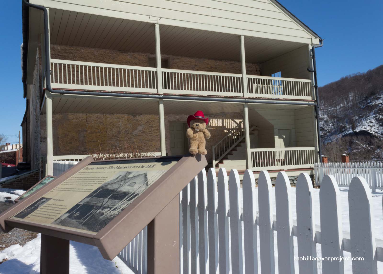
In fact, Mr. Harper’s house is still standing here, the oldest building in Lower Town, but Mr. Harper never actually lived here. Sadly, he died in 1782, the year the house was finished! His descendants were then left to decide the fate of Harpers Ferry, which was ultimately a bloody one!
 |
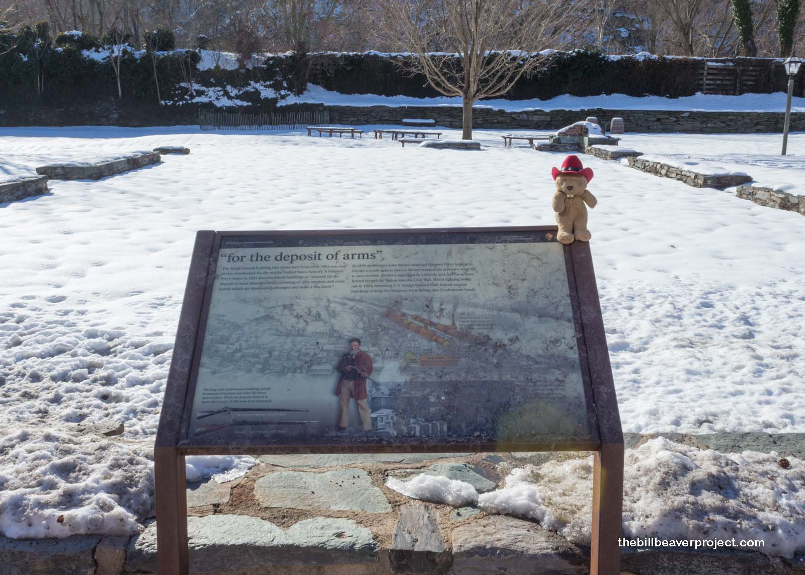
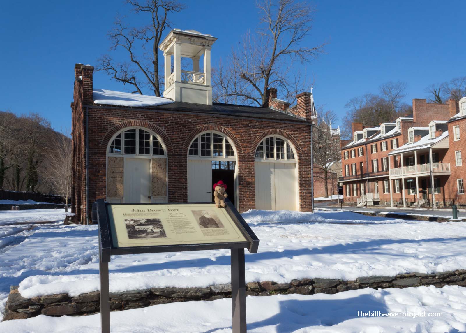
In spite of its great charm at this early winter hour, Harpers Ferry was most famously the site of the second national armory. Built between 1799 and 1802, this armory churned out 10,000 muskets, rifles, and pistols a year! Because of this huge supply of weapons, the armory and arsenal at Harpers Ferry became a huge target!
 |
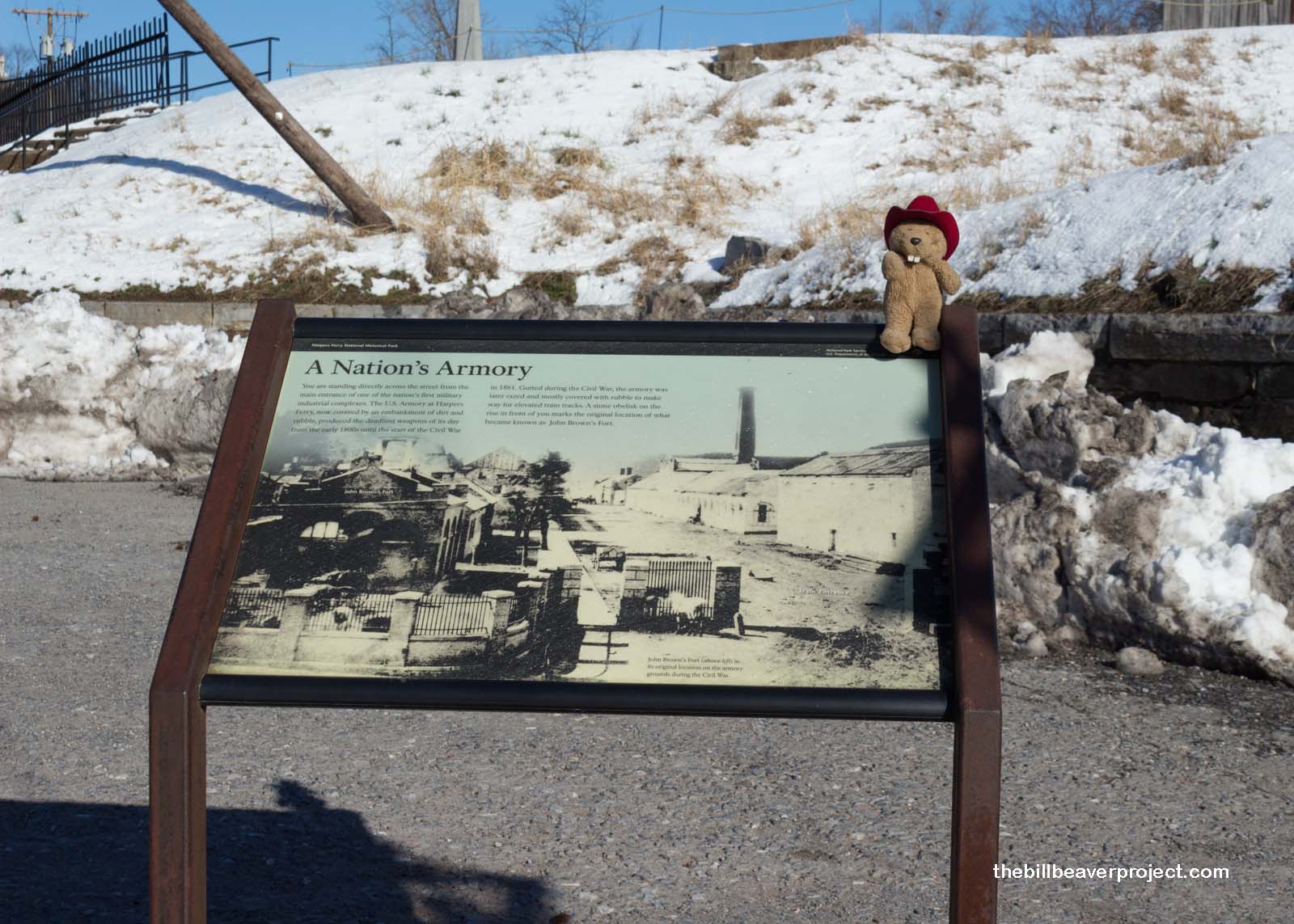 |
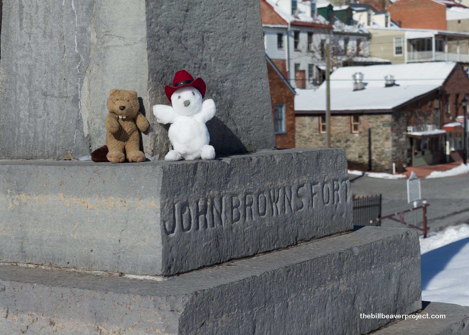
On October 16, 1859, an abolitionist named John Brown came to Harpers Ferry with his sons and followers to steal the 100,000 weapons stored there and use them to liberate the slaves! It did not go well for them. After a day and a half, most of this “army of liberation” had been killed or injured, and Mr. Brown himself cornered in this firehouse, today known as John Brown’s Fort. He was arrested, tried for treason, and hanged on December 2nd of that year. This small event turned the nation’s attention on the morality of slavery and helped facilitate the country’s descent into Civil War!
Two facts you may not know: Mr. Brown’s widow moved to California in 1864, and her home is now a California historical landmark! Also, this firehouse was dismantled in 1891 and sent to Chicago for The World’s Columbian Exposition. At first, it was discarded in an empty lot, but in 1894, Kate Field, a journalist from Washington, DC, spearheaded a campaign to dismantle and rebuild it once again, this time in its original home!
 |
At about this time, the first school bus arrived at Harpers Ferry, and a ton of kids streamed out into the streets. Suddenly, my risk of getting trampled went through the roof! I was going to need some kind of supernatural support! Thinking fast, I brought back an old friend: Señor Castorieti! Using the power of the snows, he warped me up out of town to Jefferson Rock!
 |
 |
This shale slab, surrounded by four pillars to keep out the tourists, got its name from Thomas Jefferson, who stood here and wrote about the view on October 25, 1783, describing it as “worth a voyage across the Atlantic!”
As I stoof to admire the view, I didn’t realize that poor Señor Castorieti was melting on the black rock! As his face turned into a puddle of slush, his last burbling words sounded something like “Catoctin,” which gave me an idea of where to go next!
 |
With a muffin and hot chocolate to fuel my adventures, I headed north from Harpers Ferry to another neat park in Maryland: Catoctin Mountain Park, home of presidential retreat, Camp David!
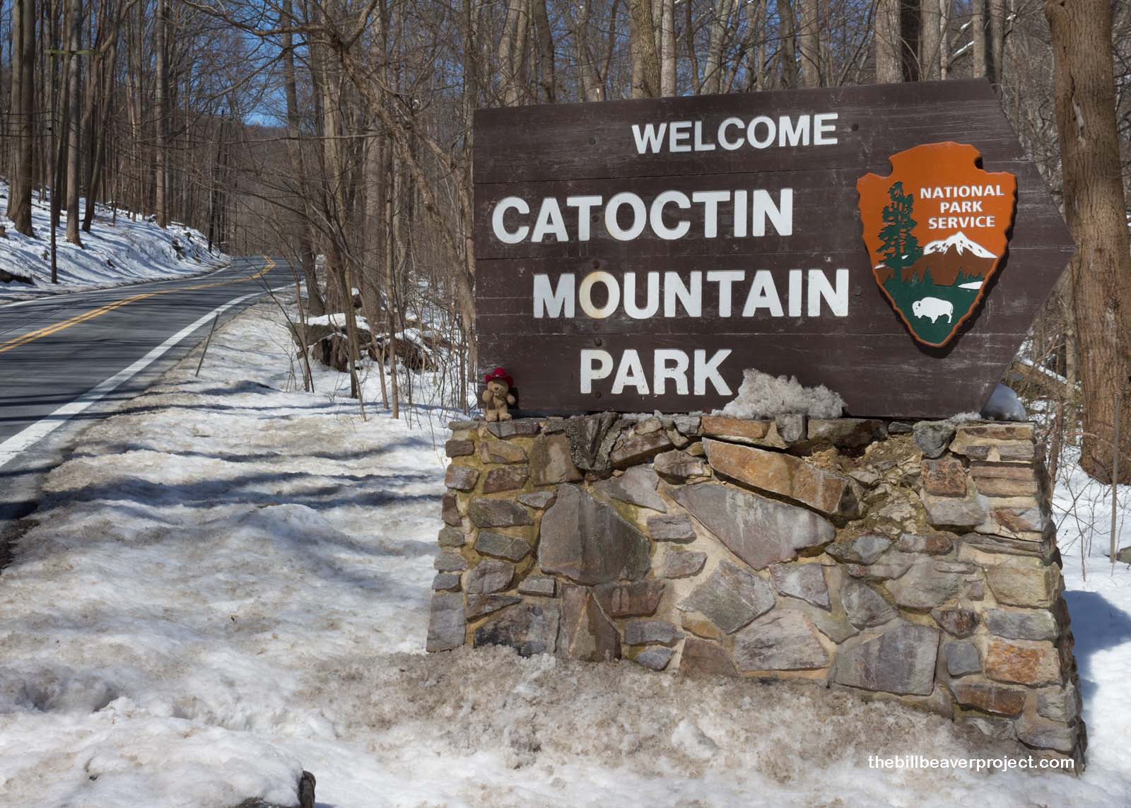 |
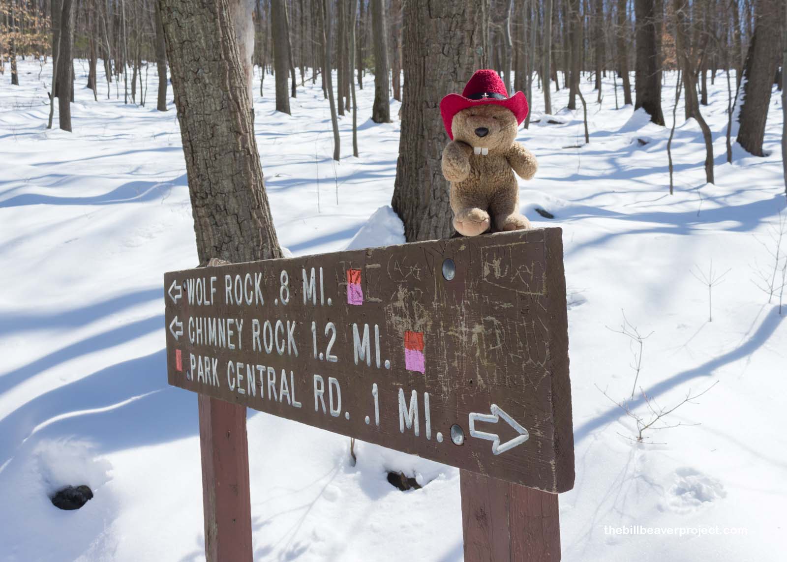
Today, I was not about to drop in on any presidential retreats, but I definitely wanted to check out the wonders of this snowy place that Señor Castorieti had mentioned. Or, I think he mentioned it. Anyway, a sign for Wolf Rick drew my attention, and I headed up into the snowy trees.
 |
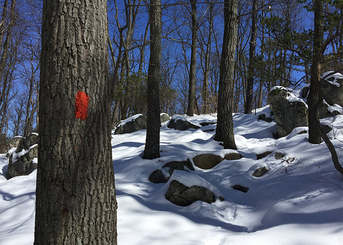
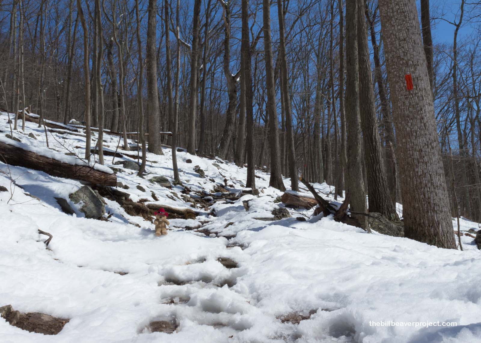
Following the footprints of past hikers, and little red-and-yellow blazes painted on the trees (very reminiscent of both the Camino and the Bruce Trail), I trekked through the purest winter peace and tranquility.
 |
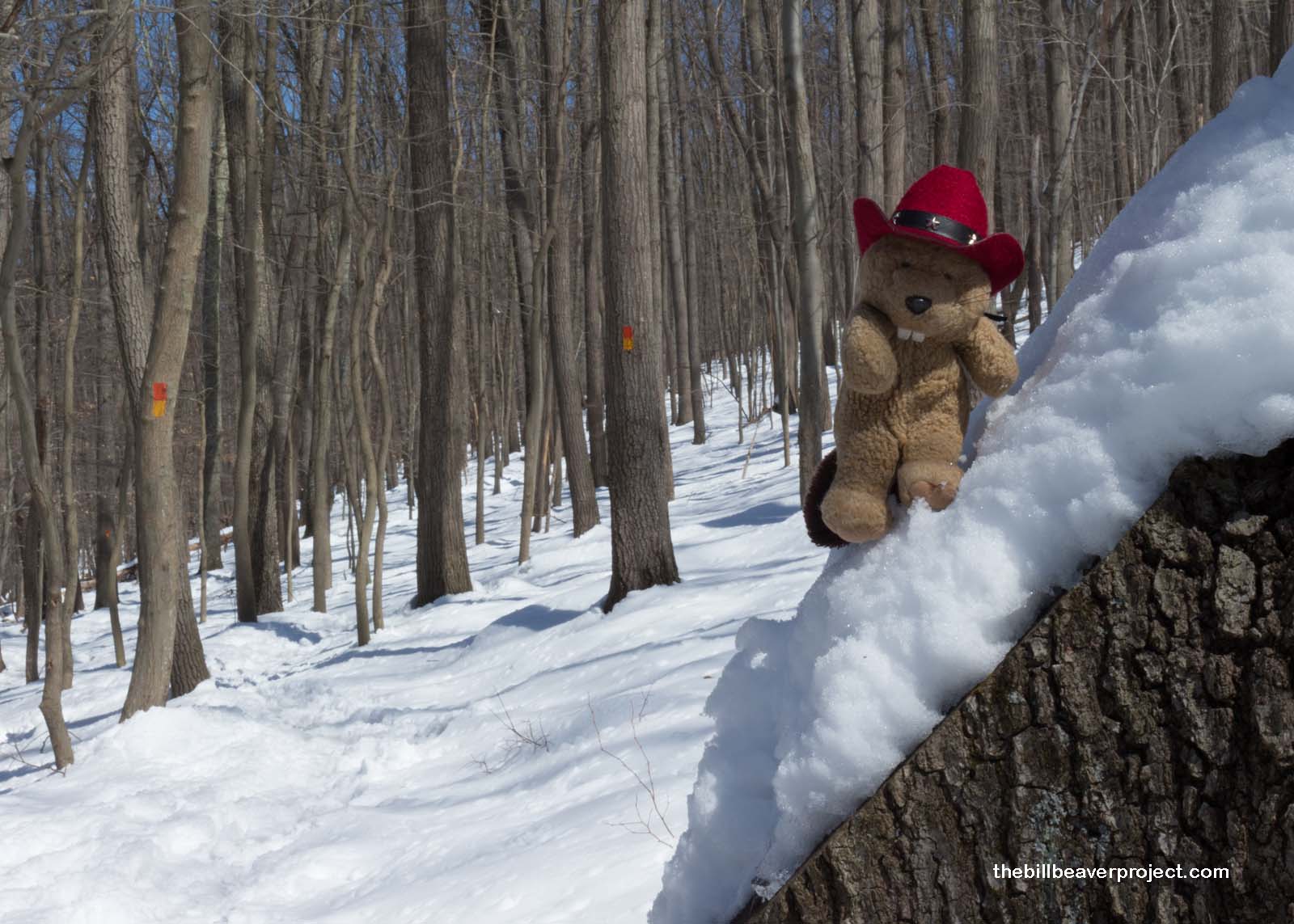 |
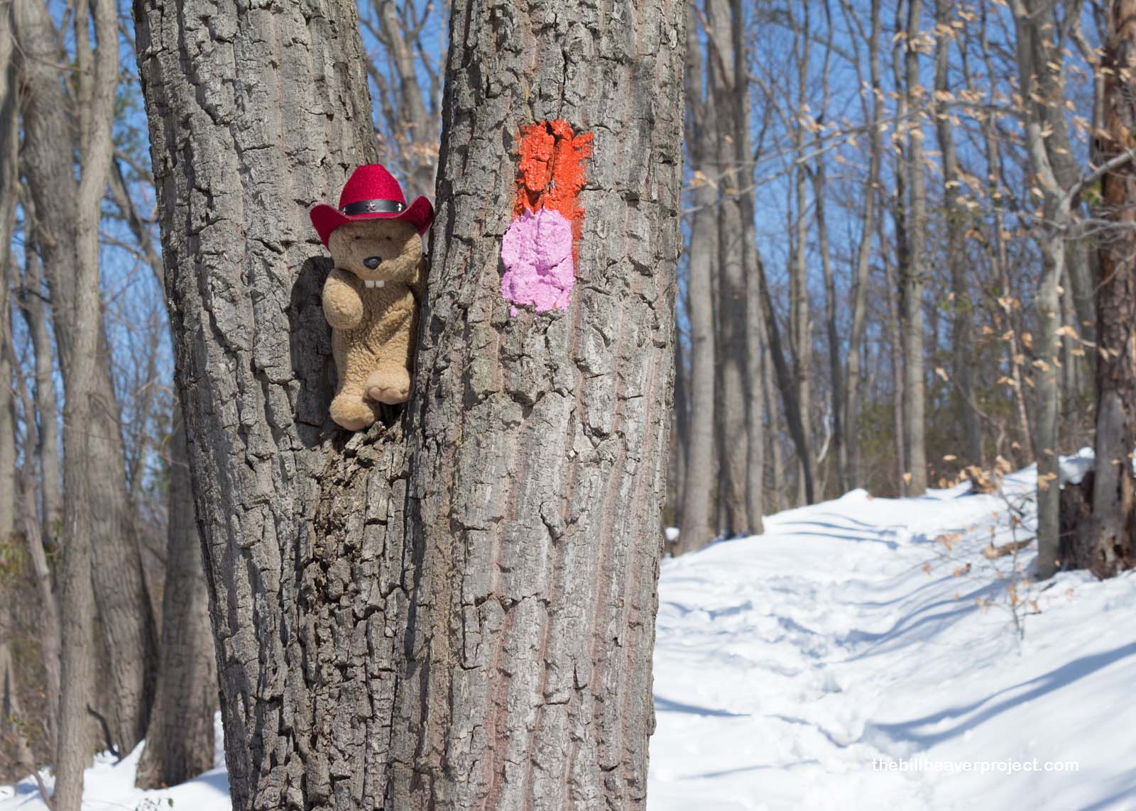
Less than a mile in, the trail diverged, and the blazes changed color! I would now have to look for the red and pink blazes on the trees!
 |
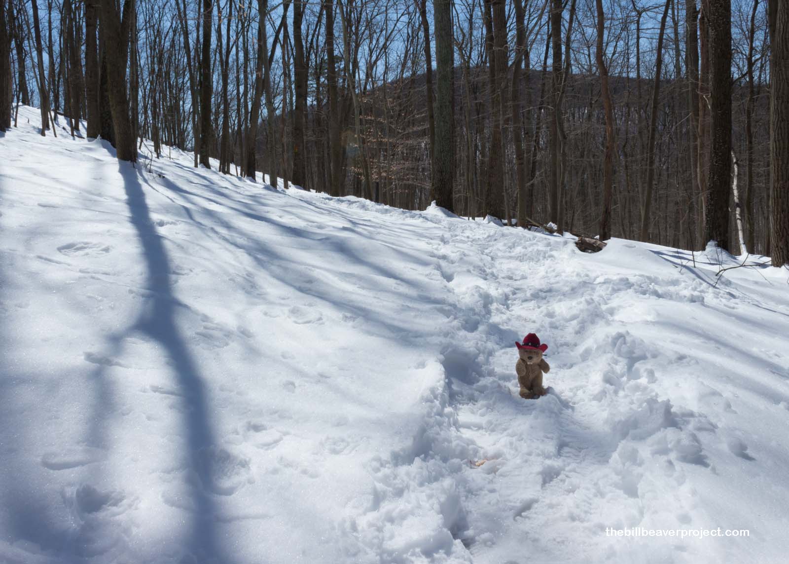
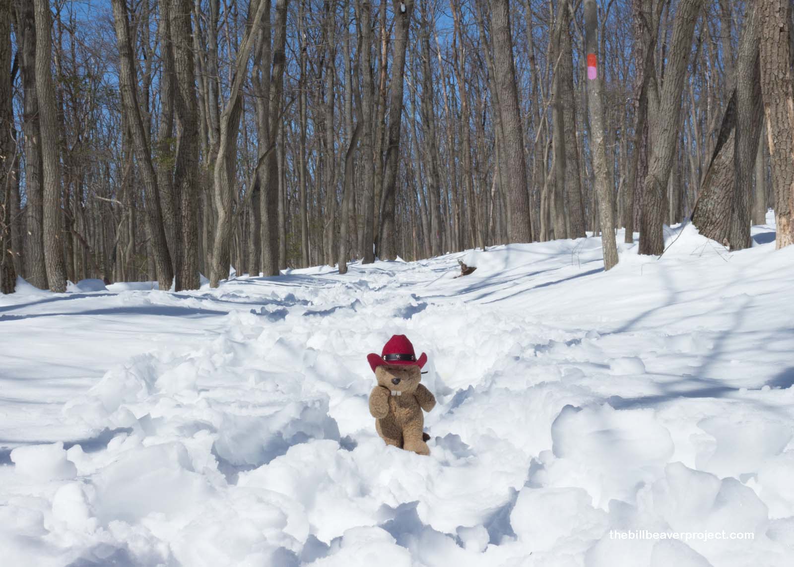
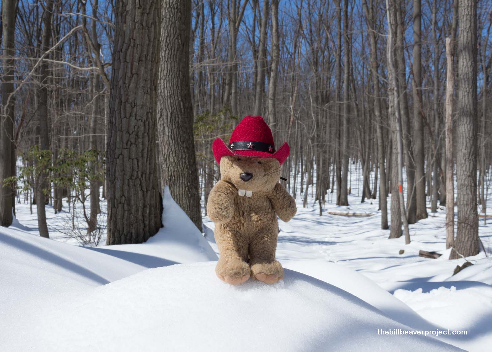
Luckily, these blazes were everywhere! So I trekked on. The slope was pretty steep, but I didn’t really feel like rushing. It was so lovely out that I wanted to soak up every minute of this hike!
 |
 |
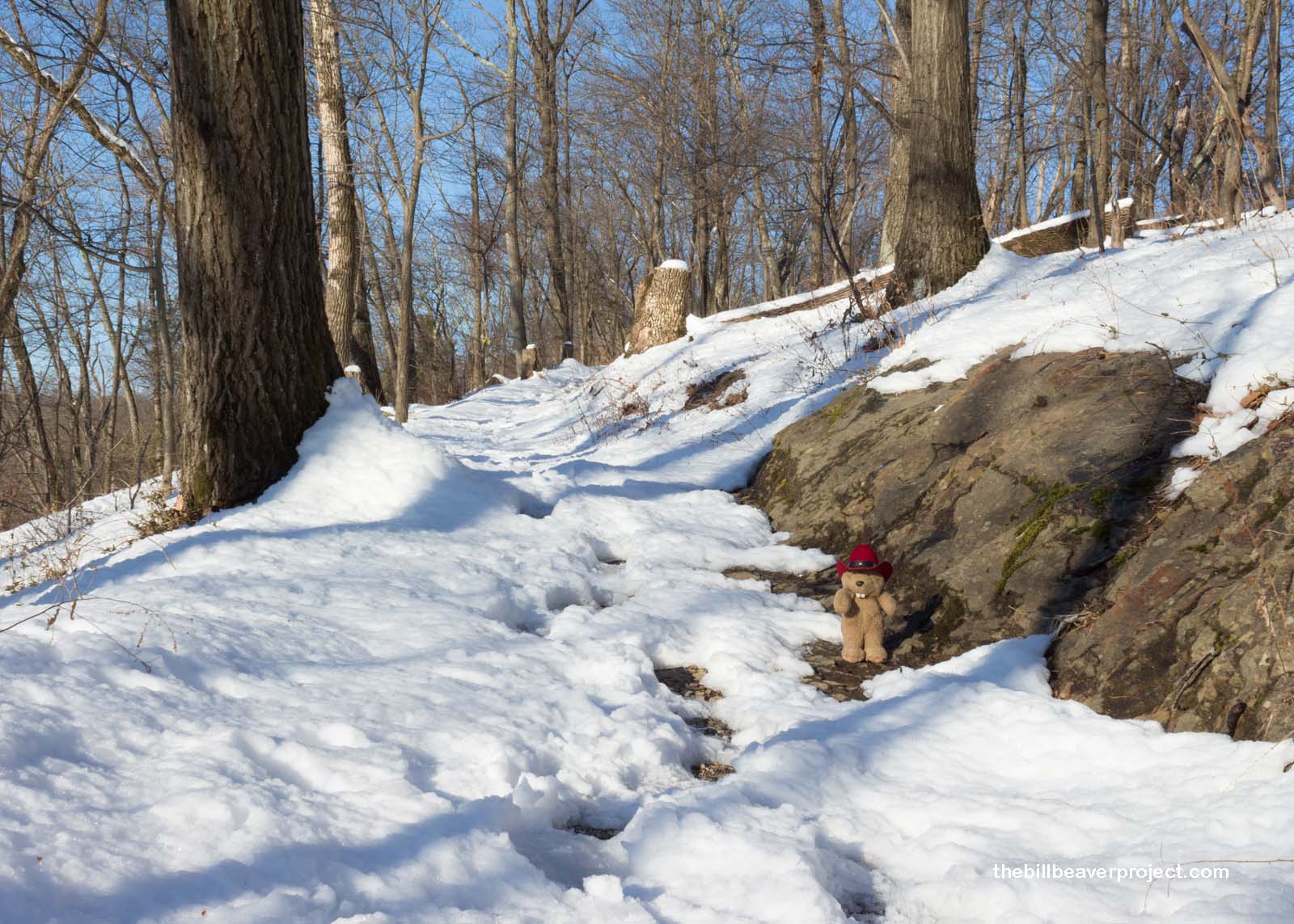
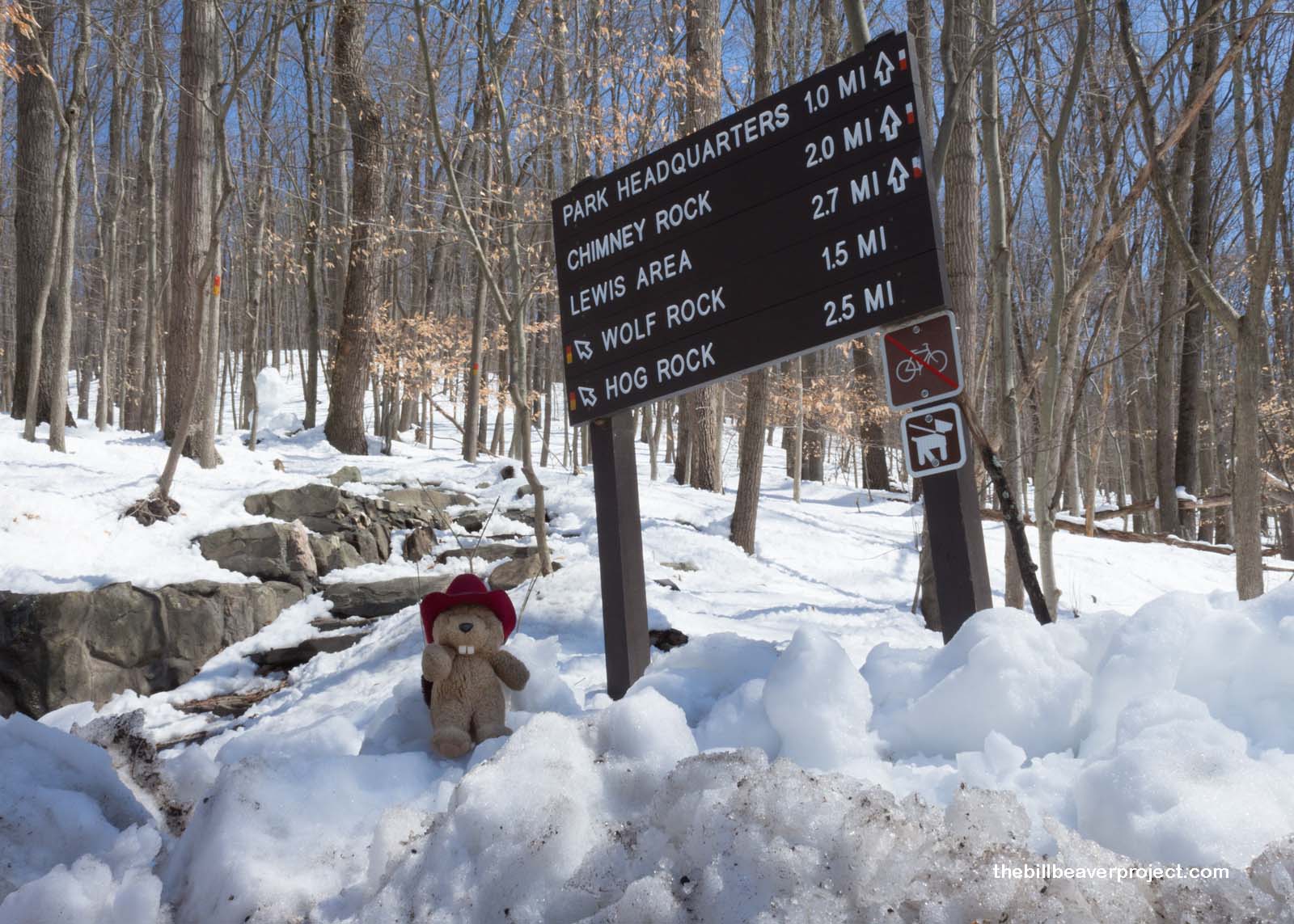
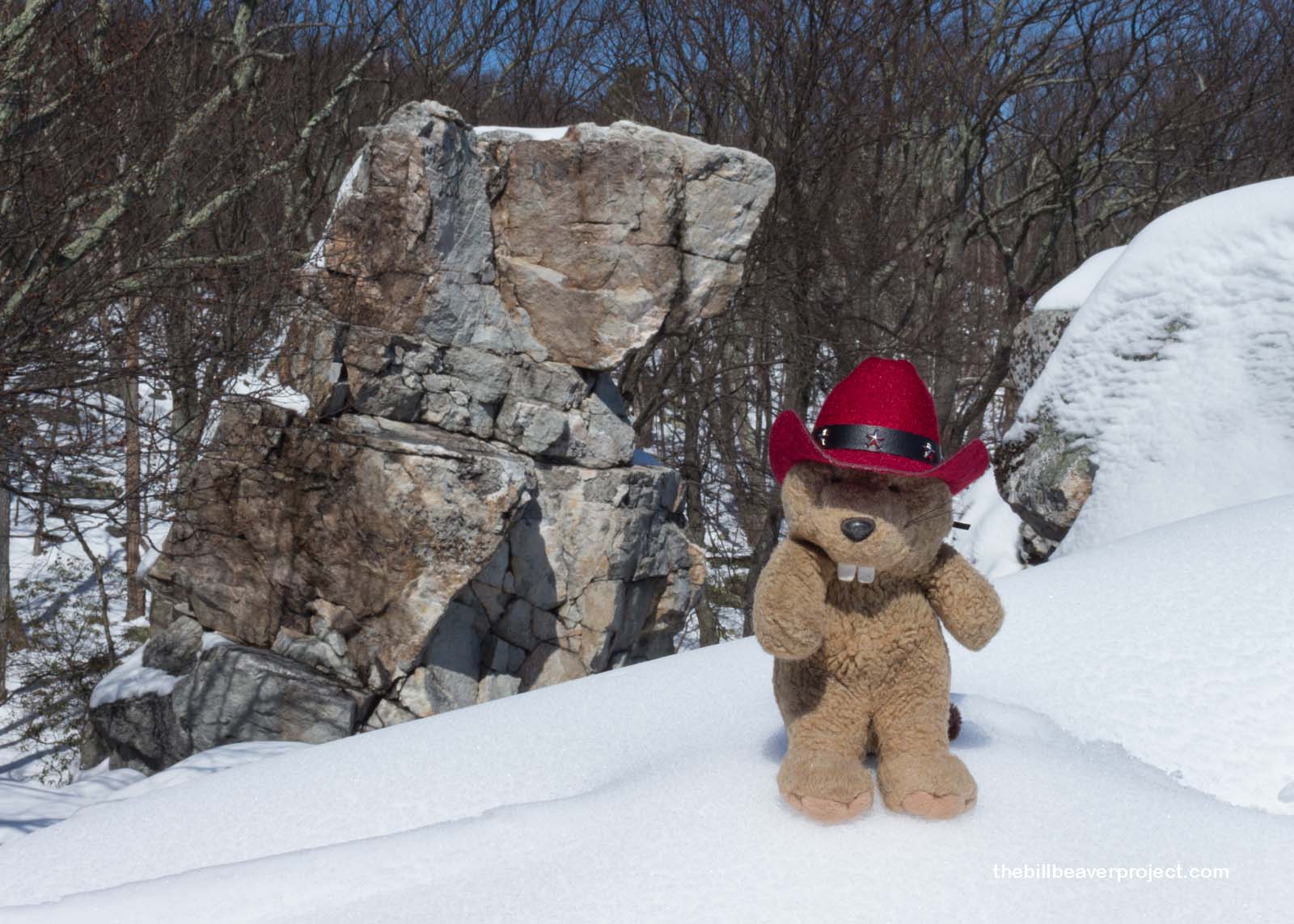
After a mile and a half, I came across a sign for Wolf Rock, which at first made me nervous. What if it got its name from a pack of wolves living nearby?! But then I saw an informative sign with photos. The rock up ahead was just shaped like a wolf and would not actually try to eat me. Of greater concern, though, was the path to Wolf Rock! It was a snow-covered scramble that required leaping rock to rock, and testing the spaces ahead to make sure I wasn’t leaping into a chasm that was just covered by a thin layer of snow! It was pretty darn perilous, but I was glad for the footprints of someone who had come before me!
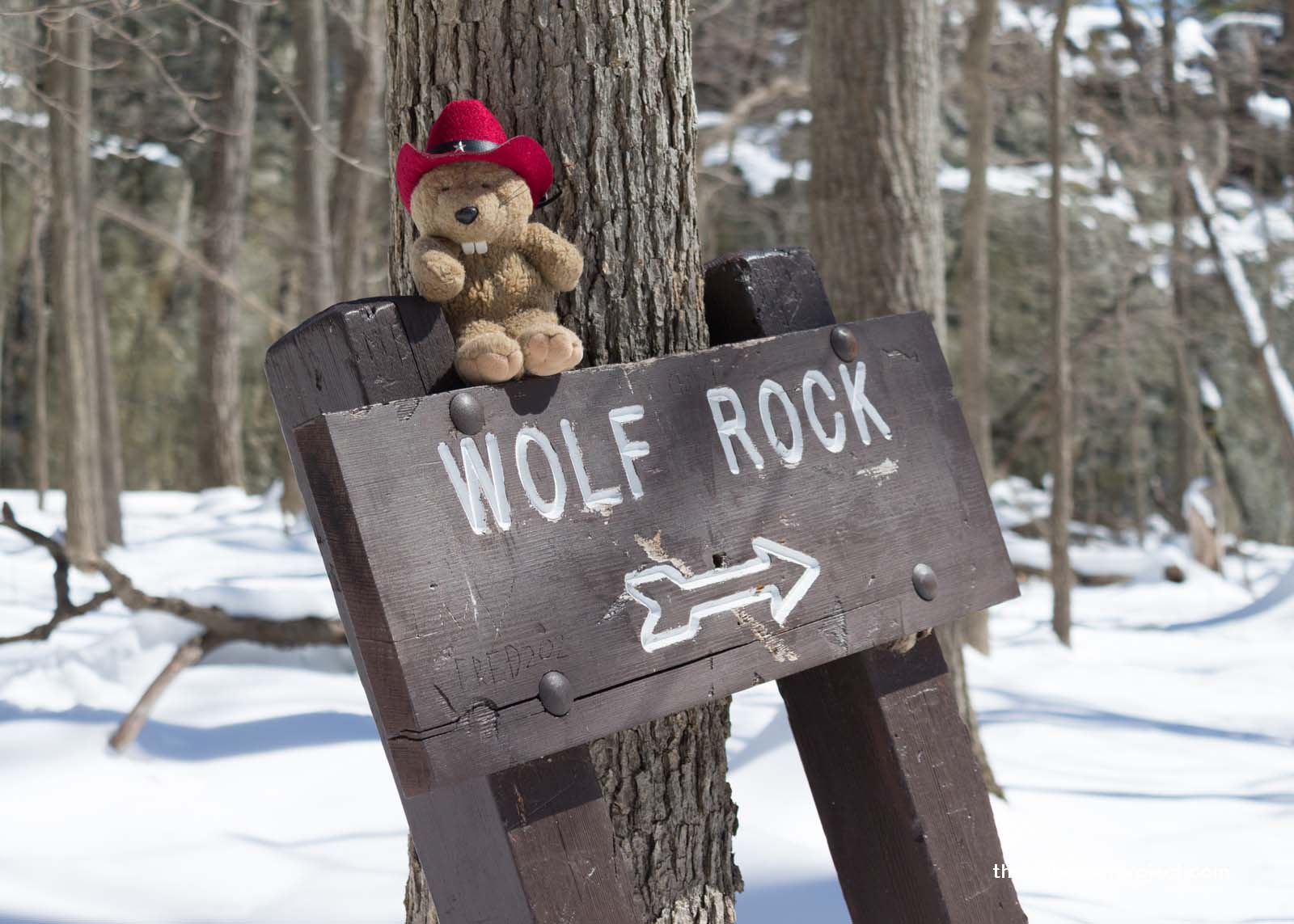 |
At last, I reached the Wolf Rock viewpoint with all of my bones intact! It sure did look like some kind of animal, but I thought it had more of a resemblance to a bear or a prairie dog than a wolf. Either way, I sure was glad it wasn’t a real one!
 |
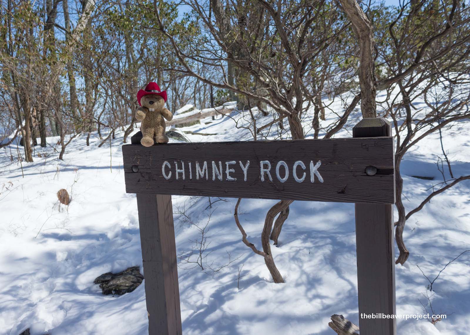
After slowly and carefully picking my way back to the main trail, I set off for my next unique rock, Chimney Rock, only the footprints leading that way had come to a complete halt! I wondered why no one had wanted to continue down the red-blazed trail after the last snow storm, but I wanted to see what this version of a Chimney Rock looked like!
 |
About a mile of gently sloping woodlands later, I reached Chimney Rock. It was a little breezy, which always makes me nervous when steep drops are involved, but it was nothing compared to yesterday’s adventures. Plus, I had a sneaking suspicion that I would have some extra support at the top.
 |
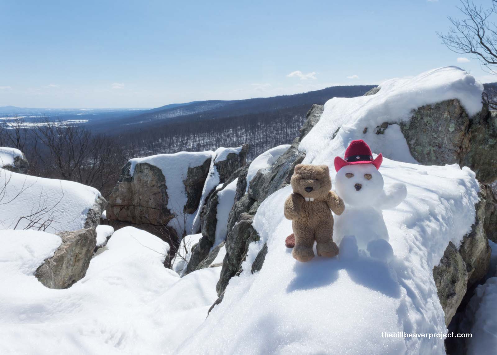
Sure enough, as I stepped out to take in the view, I knew exactly why Señor Castorieti had made this recommendation. The view of Maryland’s mountains stretched for miles and miles! I wanted my wintery friend to enjoy the scenery with me, so I rebuilt him right away! Sure enough, Catoctin had been his last words at Harpers Ferry, and he was very glad that I’d gotten the hint and brought him here for the views! He was so glad, in fact, that he frolicked too close to the edge, and when I reached out to catch him, his arm broke off! Poor Señor Castorieti. For all his many yeas, he sure hasn’t learned to be very careful. Then again, “careful” is much different for snow beavers than fur beavers!
 |
The day was wearing on, and I still had one more park to see before I met up with my old friends, the Penguins, for tacos. The trail was a long loop down, growing progressively slushier and muddier as I went. Having seen the glorious vistas above, it was a bit of a slog!
 |
On the other hand, it did give me a chance to check out the neat snow textures on the ground close to the trail!
 |
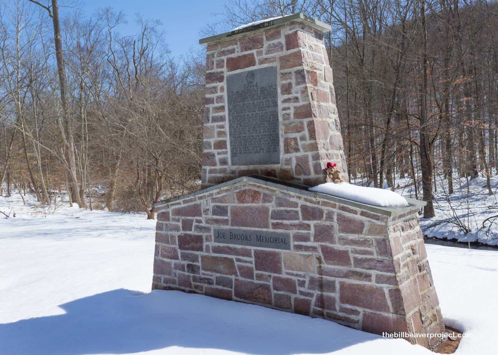
As I headed to my last park of the day, I paused for a moment at a monument by the side of the road, with the title of “Creed.” This memorial to a fellow named Joe Brooks, founder of a service program called Brotherhood of the Jungle Cock, was an angler’s pledge to fish responsibly so that future generations could enjoy the pastime of fly fishing here for years to come! I thought this was the best kind of message to pass on to all who stopped to read!
 |
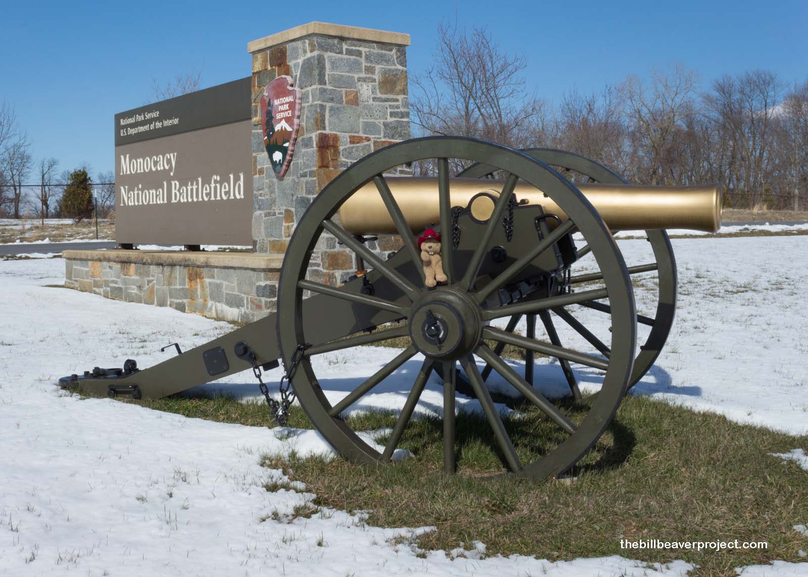
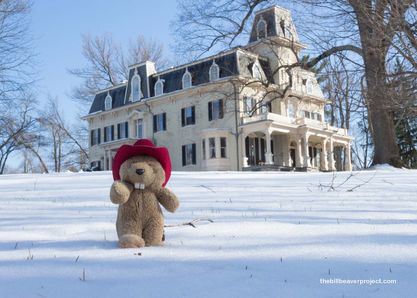
The day was growing late, and I had one more stop before meeting with my old friends, the Penguins, for Taco Night! This stop was Monocacy (rhymes with “democracy”) National Battlefield, one of the lesser known, but super important battlefields of the Civil War! Here in 1864, Union forces fended off a Confederate attack headed for Washington, DC!
 |
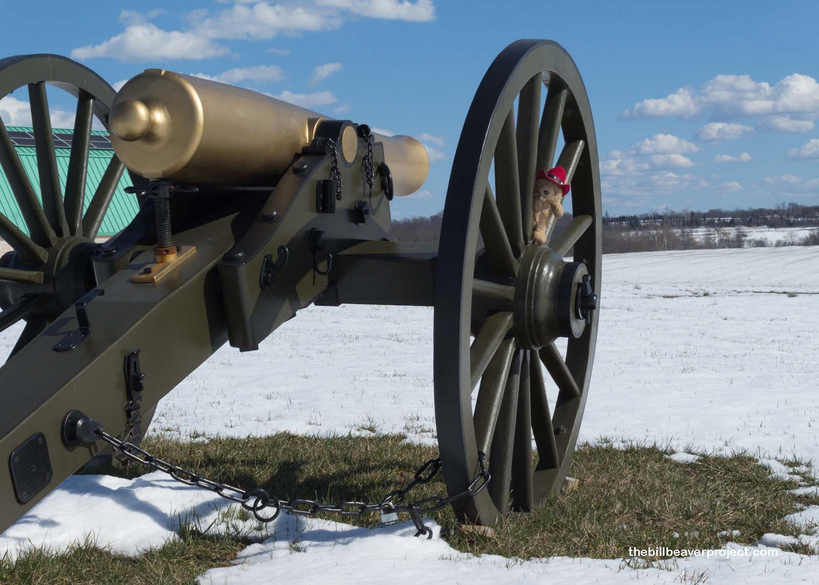 |
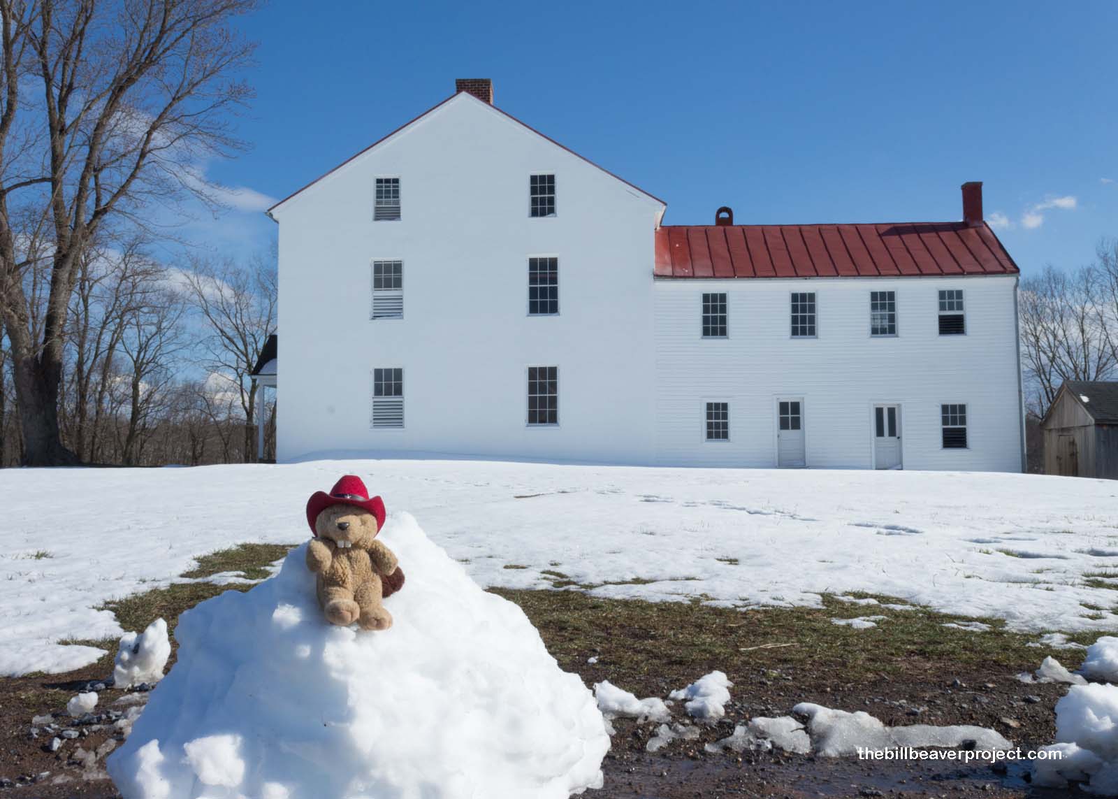
I had promised my friends that I would meet up with them at 6:30, so I only had enough time to explore a few sites at this historic battlefield. I started at the Best Farm, named for the family who leased it between the 1830s and 1880s and who also made it a super-successful agricultural operation. Whether it was the best with the Bests, I couldn’t say, but it was the best place for a big Confederate slip-up! General Robert E. Lee left special orders for Major General Daniel Hill, who, figuring he’d already gotten those orders, left them behind in an envelope with two cigars! Four days later, a Union soldier found Special Orders No. 191, and the Confederate plans were now in Union hands!
 |
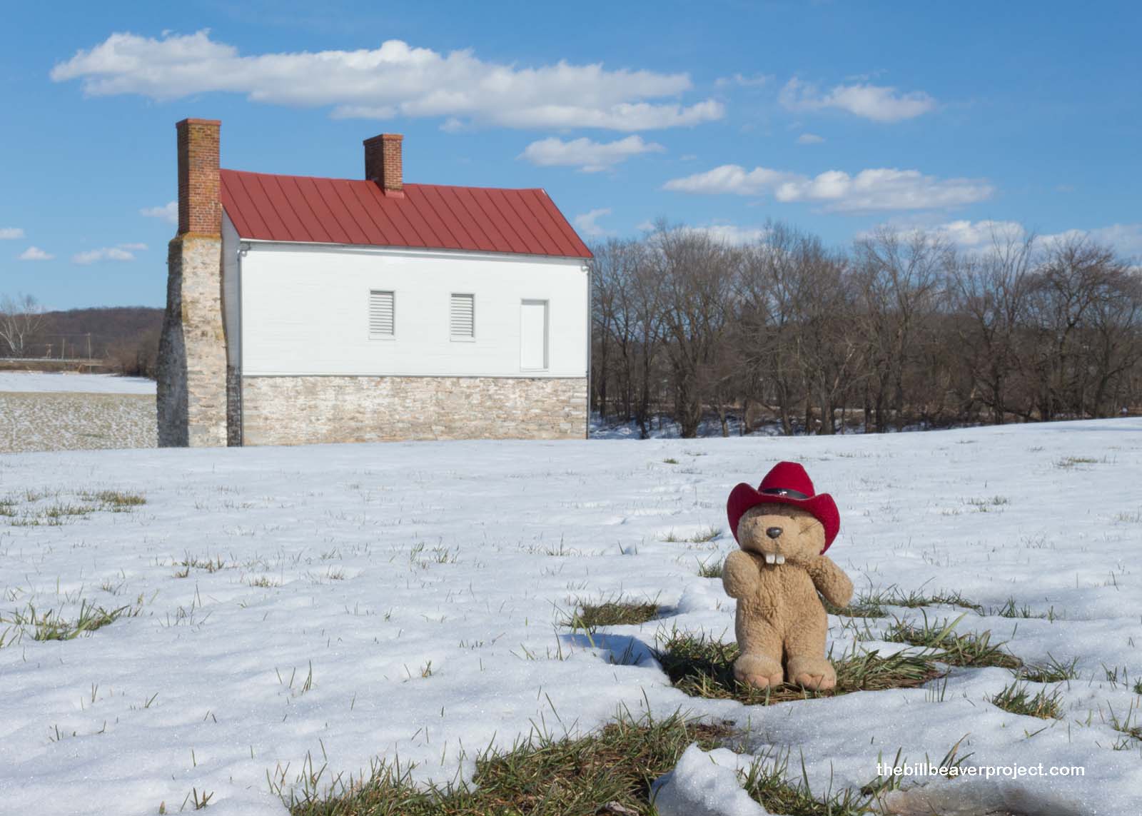
Also on the Best Farm were the remains of the old L’Hermitage of the Vincendière family, who came here in 1794 from Saint-Domingue (Haiti) to set up a massive plantation. Victoire, the head of the household, had over a hundred slaves here and treated them brutally, even getting called to court for these abuses! The remaining buildings of her plantation serve as a reminder of the stakes underlying this battle and the greater Civil War!
 |
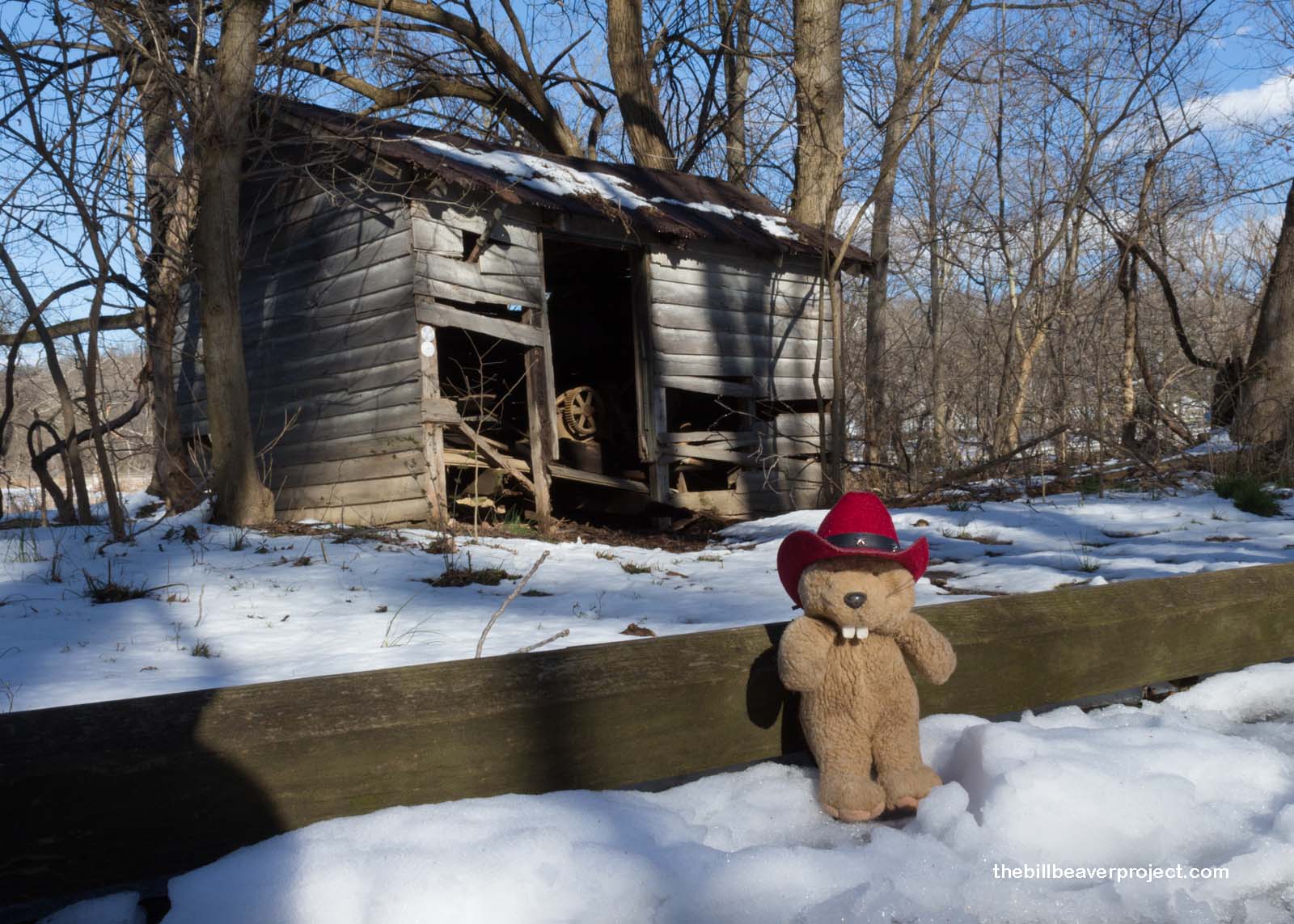
Down the road, I took a walk around the Gambrill Mill, where James H. Gambrill milled flour from the 1830s until the 1890s, even when the Battle of Monocacy interrupted his operations and his mill had to serve as a field hospital!
 |
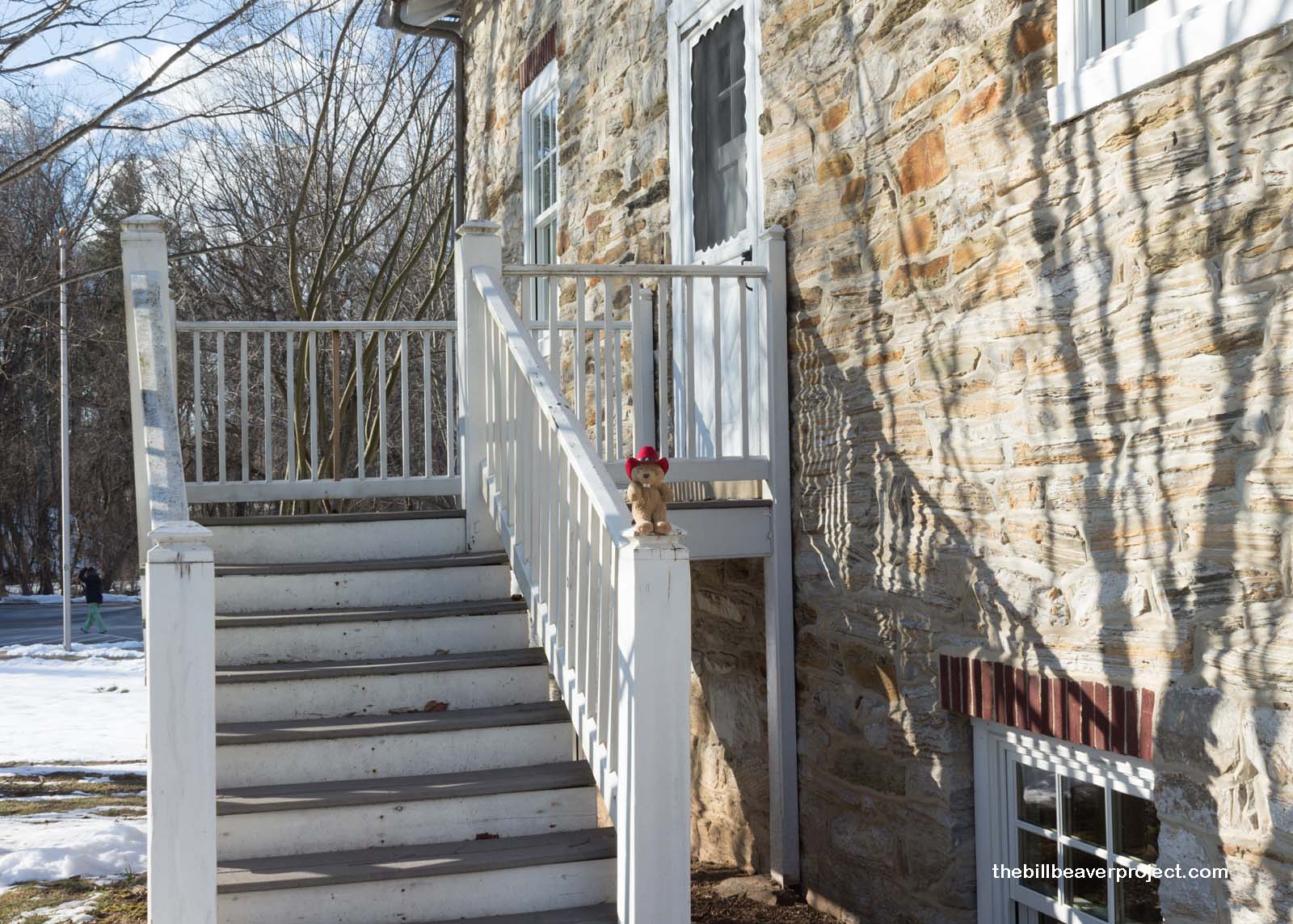 |
The Gambrills themselves lived in a very fancy mansion that they called Edgewood, which featured such innovations as a coal-burning furnace, gas-powered lighting, a gas cooking range, and a plumbing system that provided both hot and cold water! When they weren’t in the middle of a war, the Gambrills hosted fabulous galas here until 1897 when a recession forced them to give up the title to the estate and mills.
 |
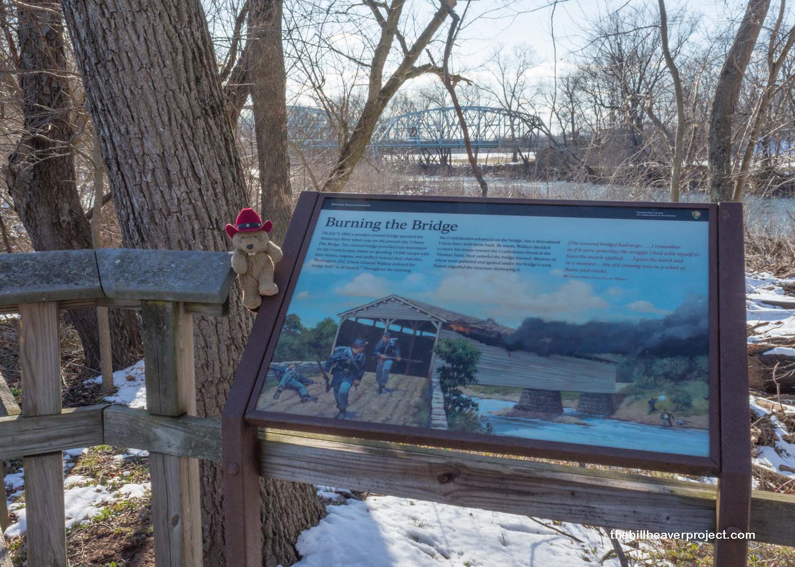
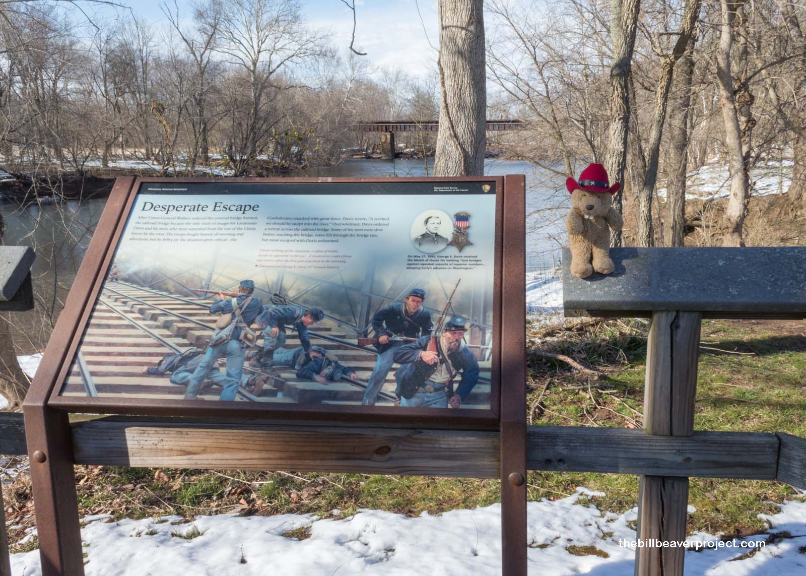
Barely a stone’s throw away from this glorious mansion, the Union side cut off the Confederate supply line by burning a covered bridge over the Monocacy River. Doing so left the ranks of Lieutenant George Davis stranded on the wrong side of the river. Under heavy fire, they had to pick their way across a nearby railroad bridge, and though they suffered heavy losses, they had succeeded in keeping the Confederate troops on the other side of the river!
 |
 |
My time was officially up, and my GPS was telling me that I was going to be late meeting my friends for dinner. I called up the Penguins, but they didn’t answer. Instead, I got to talk to the famous Dudley Dinsdale, who shares house space with them. He said they were still expecting me and that I wouldn’t have to worry about traffic jams. Before I knew what was what, I warped into space!
Moments later, I rematerialized, a little surprised but happy to see that I had made it in time for tacos! Plus, the famous Dudley Dinsdale, leader of the Glorious Teddy Bear Revolution, was there to greet me! We’ll have some great adventures tomorrow, including the March for Our Lives in Washington and a Lost City in their backyard! Stay tuned for more adventures!
Marching on!

* Actually, this was debunked when I had my interview with Mikah Meyer. Some of the park sites I thought were separate parks, actually weren’t! So by the end of this trip, I hadn’t actually reached Park #100! Which one will cross that fabled threshold?
Previous Day |
Total Ground Covered: 557.0 mi (864.3 km) |
Next Day |