 Previous Day |
Austin → Brownsville → Austin 779.0 mi (1,253.7 km) |
 Next Day |
Right after scooting around San Antonio with my friend, Mack, I hopped aboard a southbound Greyhound to see one of the more distant Texan national parks! Having already reached the tippy top of Texas, it was time to visit the bottomy bottom of Brownsville!
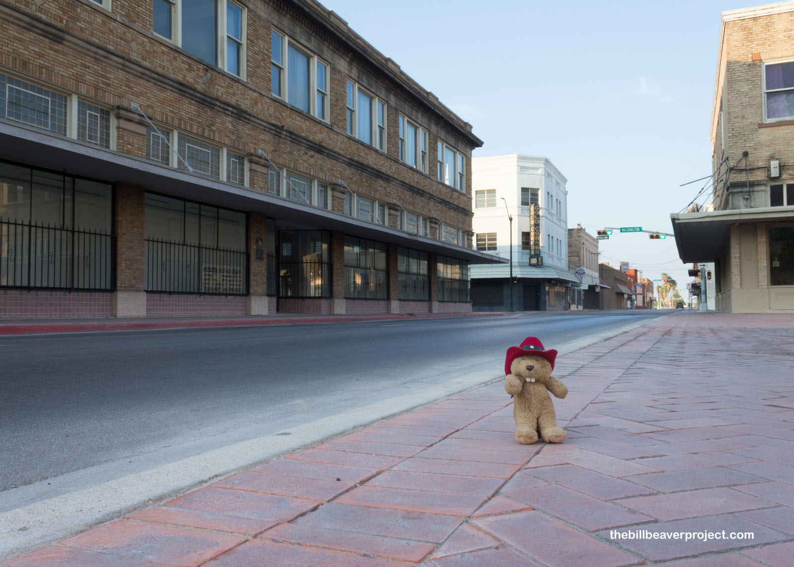 |
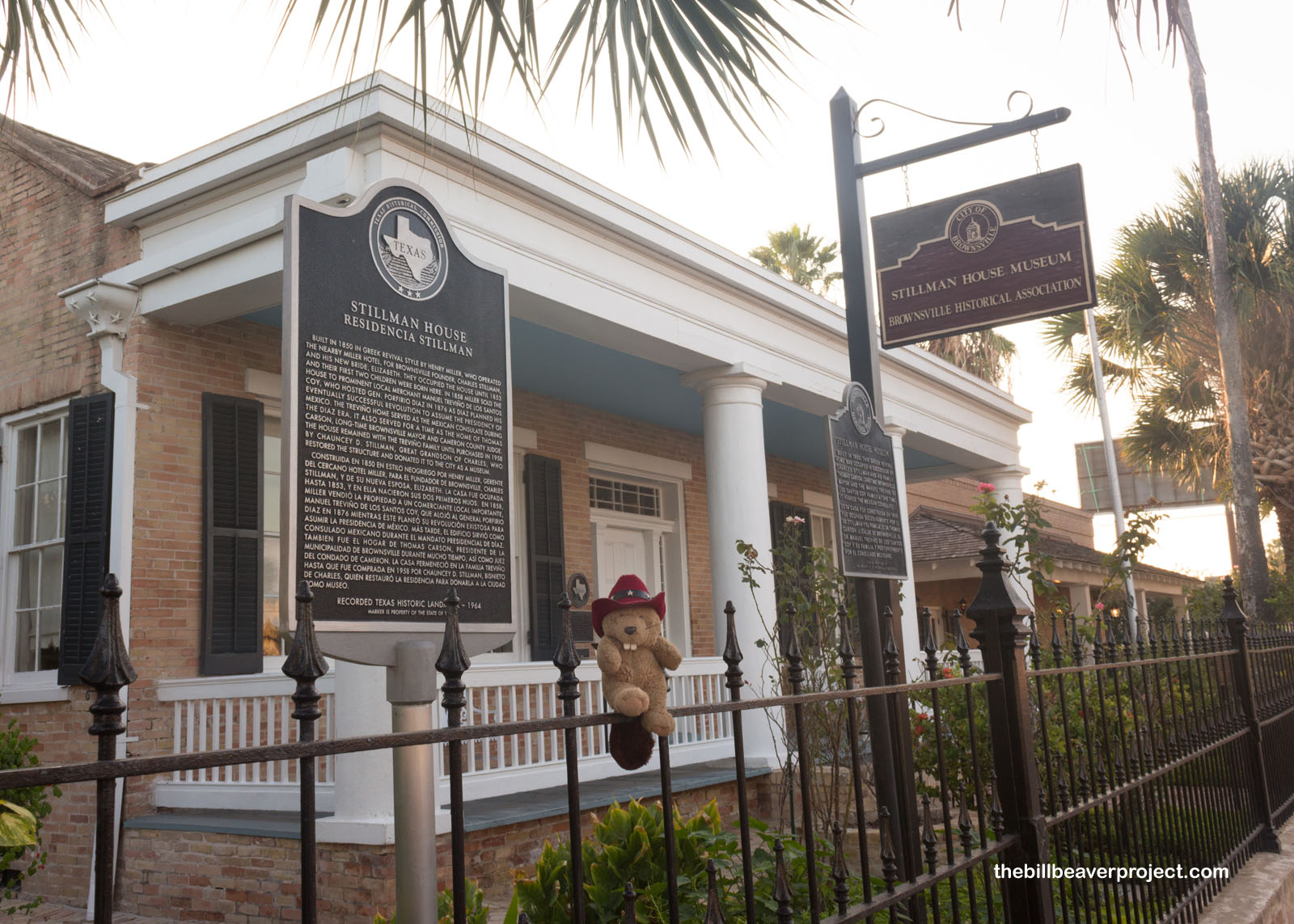
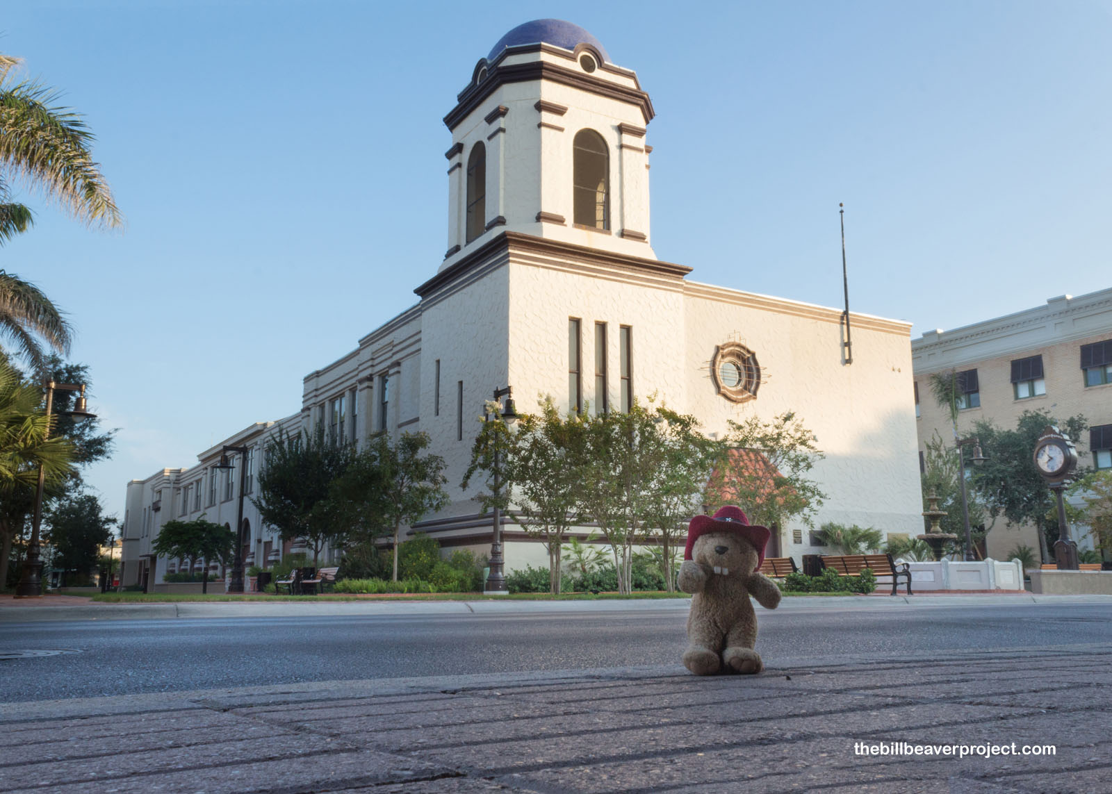
As soon as I got off the bus, the early morning humidity crept into every part of my body. It was going to be a hot one! Before I took the jump to Palo Alto Battlefield National Historical Park, I wanted to stretch my legs and see what there was to see here in Brownsville. For instance, I stopped to see the home of Charles Stillman, founder of Brownsville, which at one point served as the Mexican consulate in Brownsville!
 |
I moseyed up past Market Square, born as an open-air market in 1852, which served as a market all the way until the 1940s. Now, it’s the headquarters of the Brownsville Historicial Association and houses a massive archive of historical photos and documents! It was still asleep when I passed by, though, and I can’t say I blame it!
 |
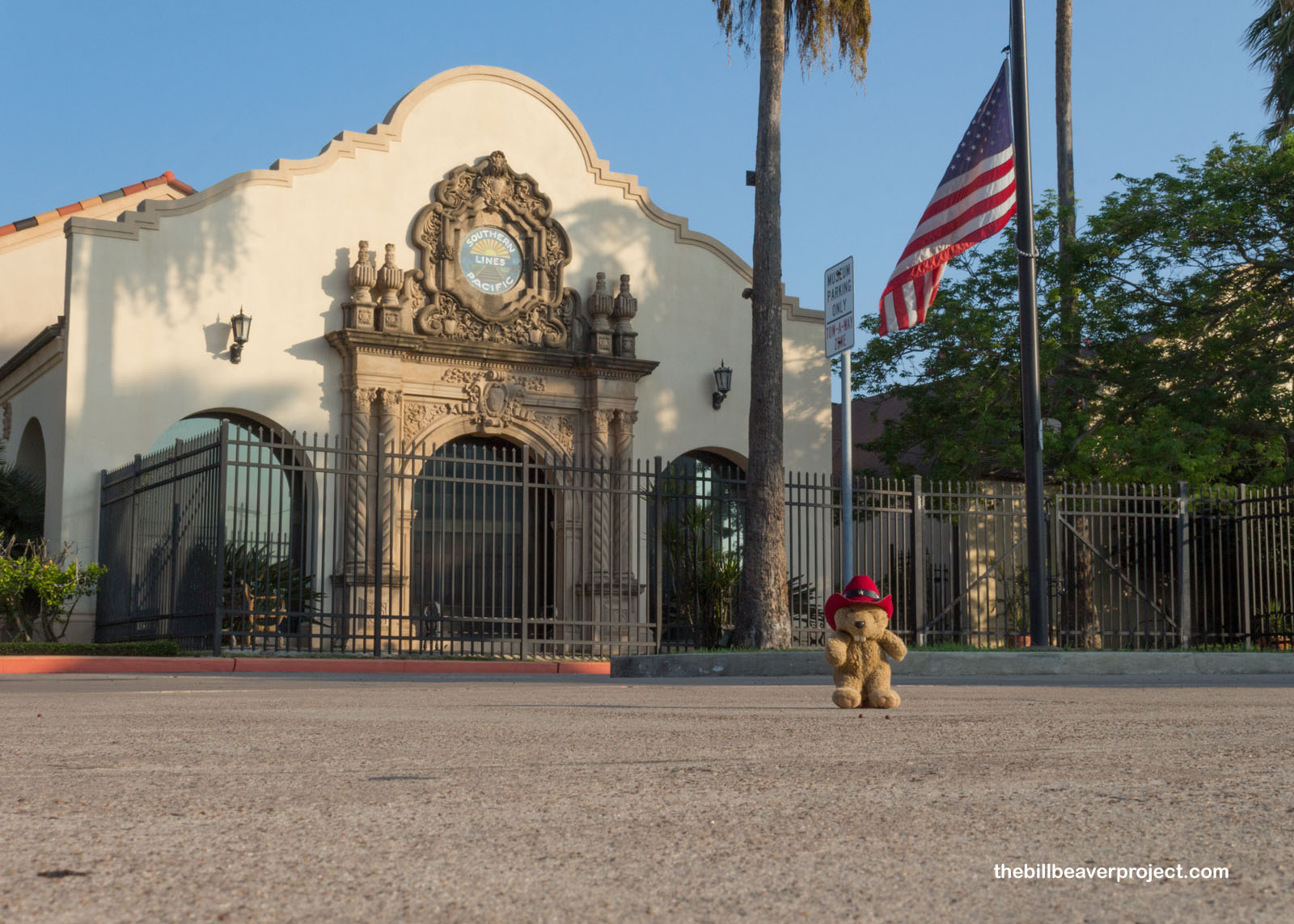
Also sleeping was the old Southern Pacific Train Station, built in 1927 to connect the agricultural wealth of Brownsville to the rest of Texas! This was such a monumental event for the town that ever since, November 14, the day of the first train’s arrival, has been held as a local holiday!
 |
Now that I’d stretched my legs and woken up a bit, I hitched a ride north. Thankfully, for as far away from everything else as Brownsville was, Palo Alto Battlefield was only 10 miles north of town, which made it super easy!
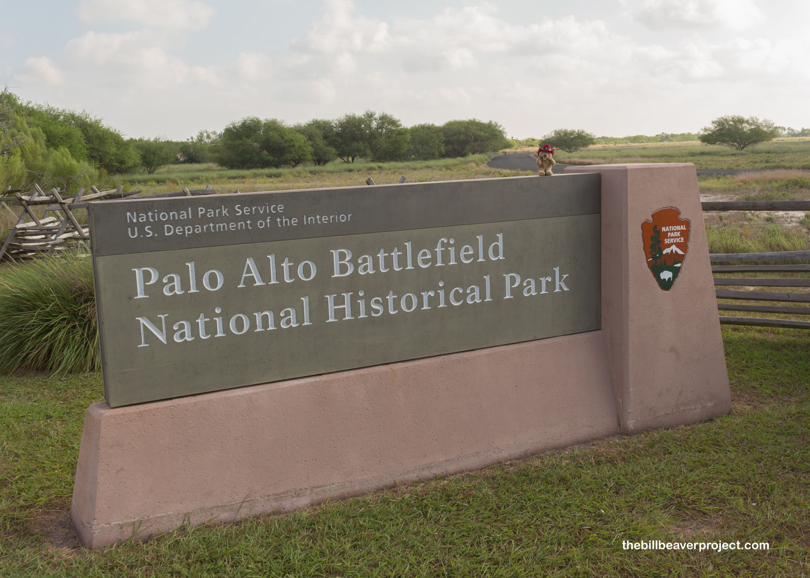 |
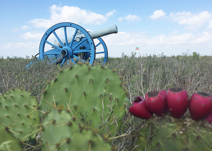
Definitely not the biggest or most scenic of the national park sites, Palo Alto Battlefield nevertheless tells an important story about US-Mexico conflicts that led to the Mexican-American War! It all started with the Apache and Comanche, native warriors that scared the Mexican government so much that Mexico invited settlers from the US to move into Mexican territory as a buffer! This worked really well, so well, in fact, that by 1829, there were more English-speakers than Spanish-speakers in Texas territory!
 |
Texas revolted in October of 1835 and by the next April declared its independence from Mexico! Most folks in Texas wanted to join the United States, but Congress was mired in debate over what it would mean to add a new slave state to the Union! In the final days of President Tyler’s last term, Texas accepted an annexation treaty, that all Texan lands would belong to the USA, while the US government would take on the new state’s $10 million in debt! At first, it looked like this agreement would get rejected, but President Polk, following the idea of Manifest Destiny, confirmed the deal!
 |
Now, all that remained was to decide on boundaries. The US drew the border at the Rio Grande, while Mexico drew it at the Rio Nueces. This spot of land was known as the Nueces Strip, which the US offered to buy from Mexico! Mexico wasn’t having it, though, and they moved troops up to the Rio Grande. So did the US! President Polk couldn’t order an attack because he didn’t want to be the president that started a war with Mexico, but he didn’t have to wait long. Mexico saw the US troops as invaders of Mexican territory and attacked them on April 25, 1846!
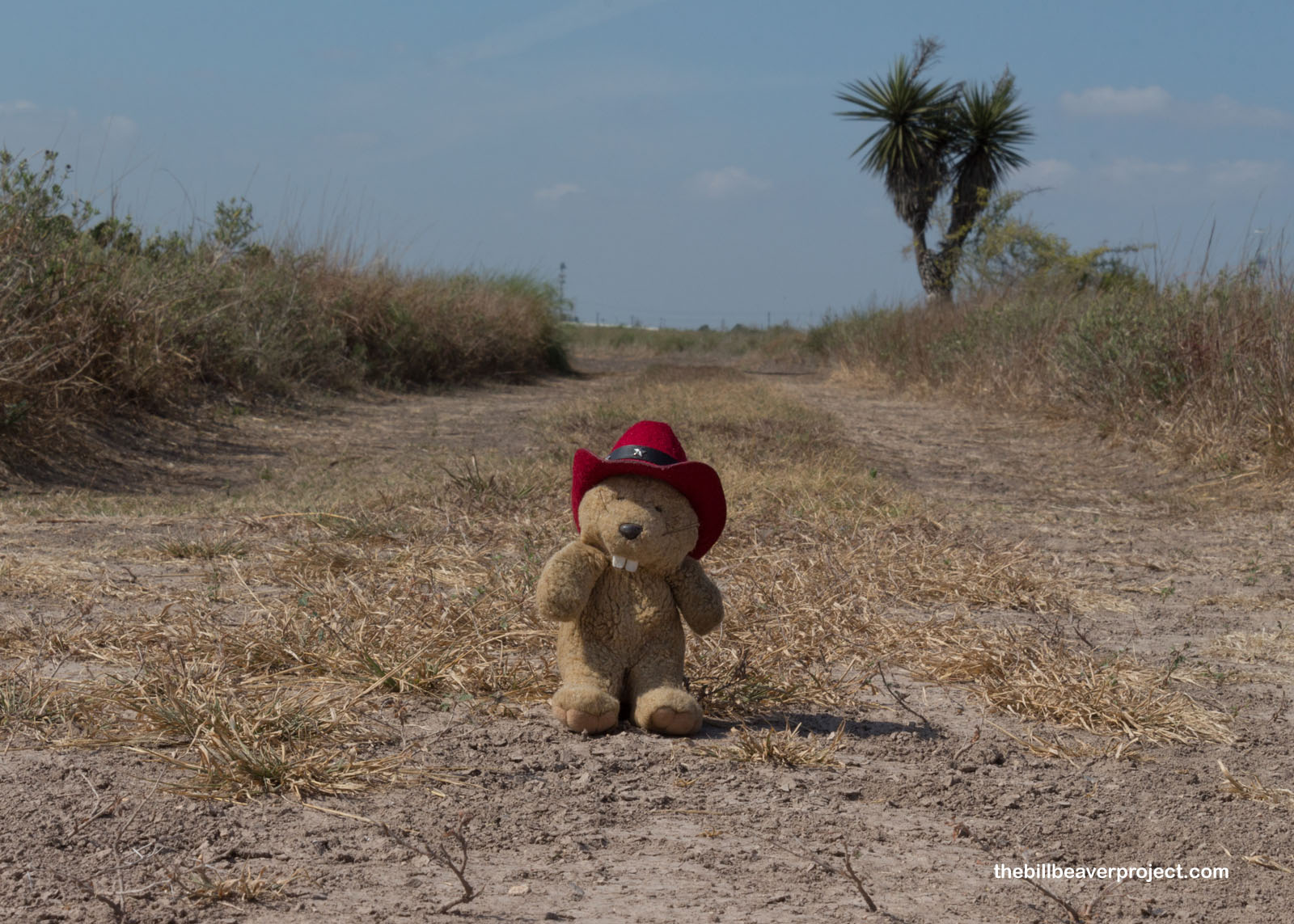 |
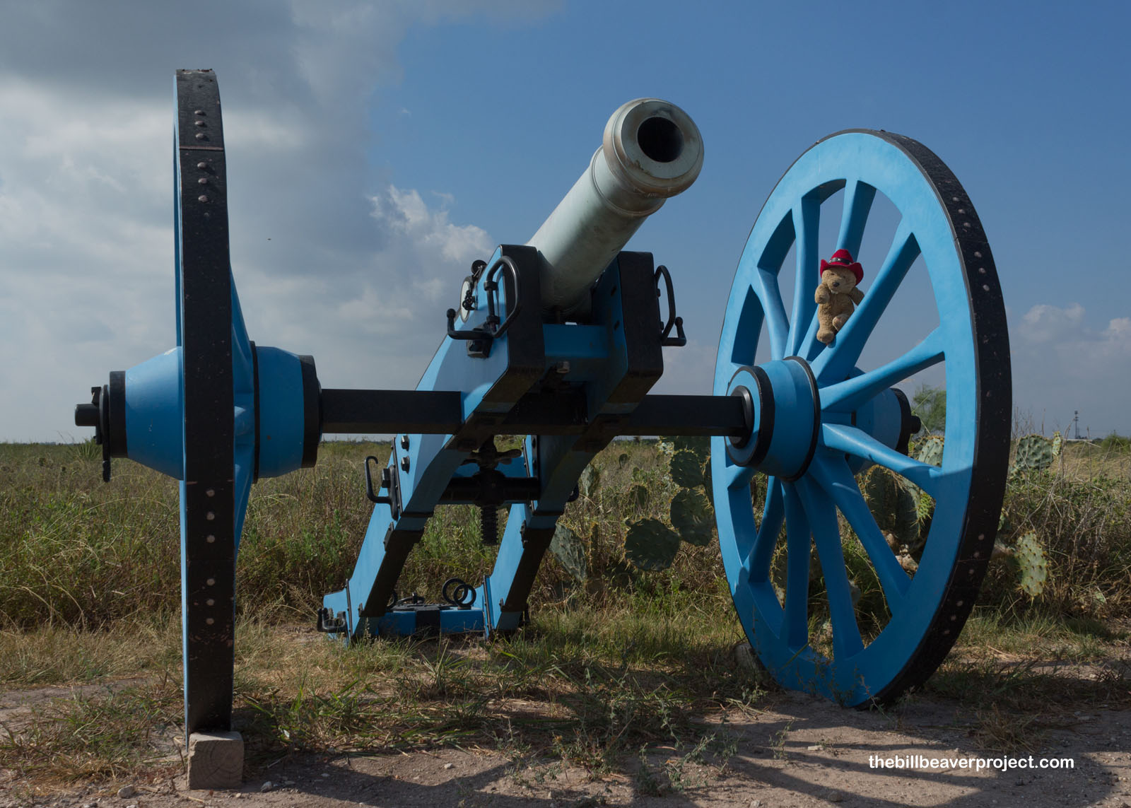
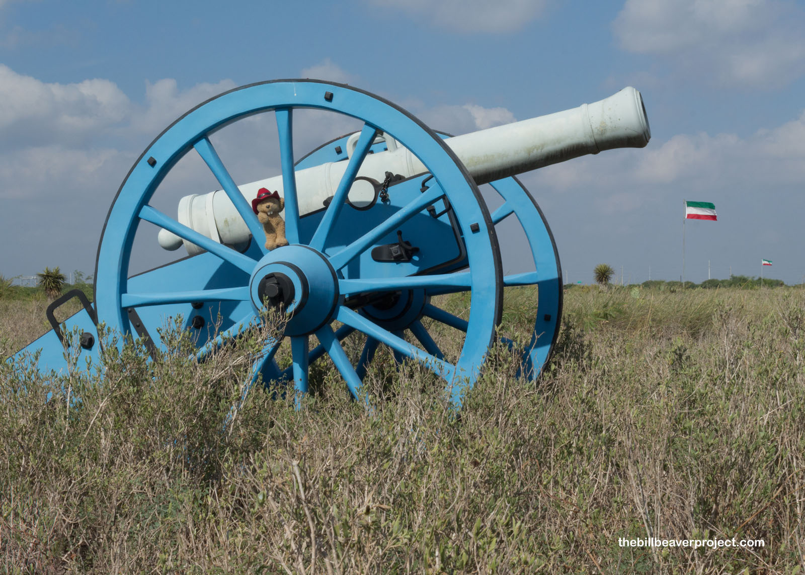
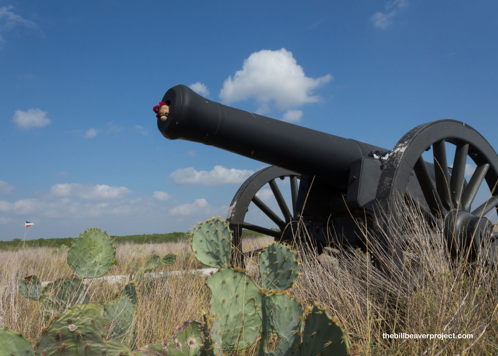
Moving north, the Mexican Army engaged US forces in the first major battle of the Mexican-American War here at Palo Alto on May 8, 1846! Though the US was greatly outnumbered, their cannons were a lot bigger, and their troops were a lot better trained. They pushed the Mexican Army back to Resaca de la Palma, which was my next stop, sort of.
 |
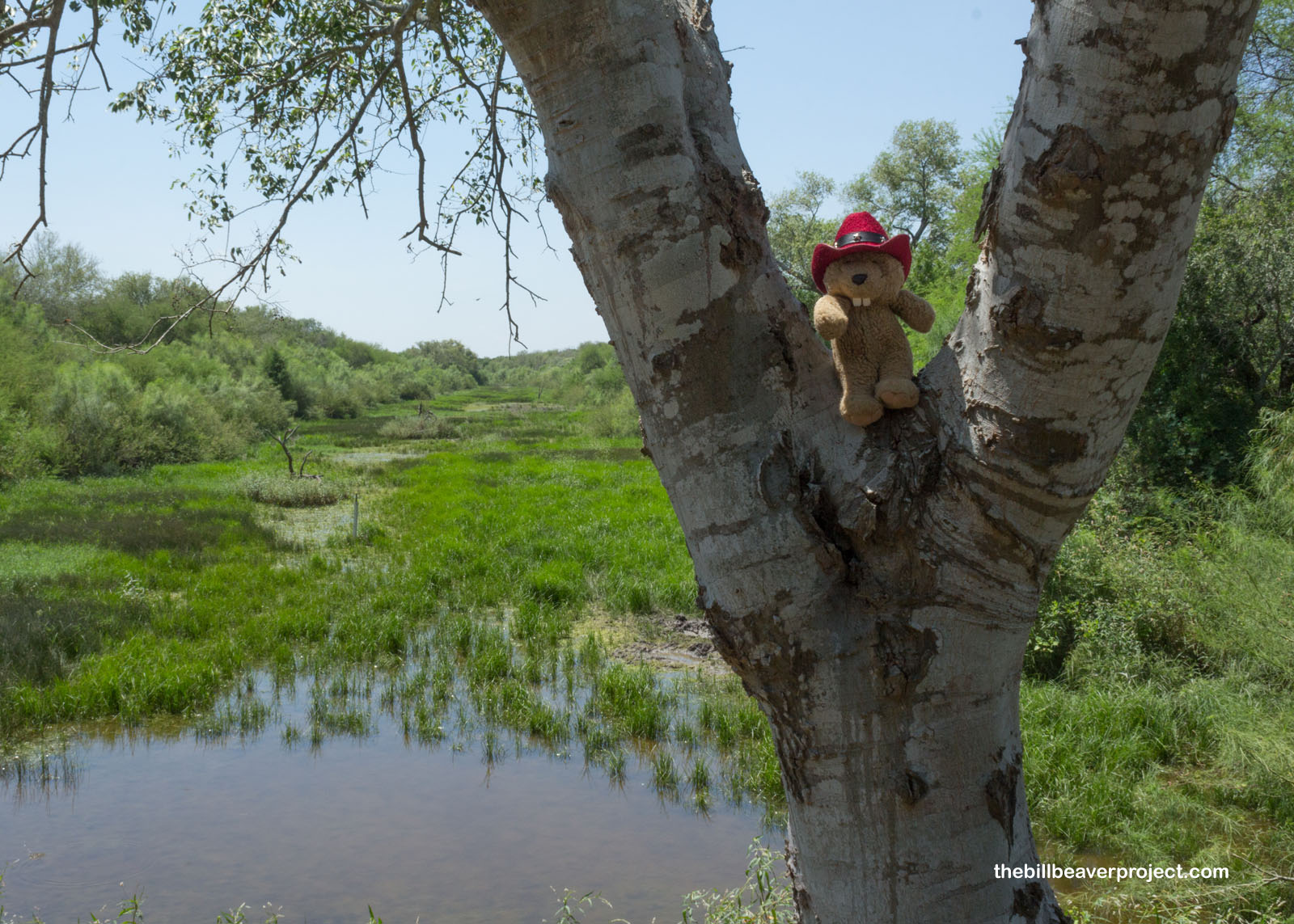
Technically, there are two important sites called Resaca de la Palma in Brownsville. There’s a National Battlefield and a state park. The National Battlefield is where General Zachary Taylor’s troops pushed the Mexican forces back across the Rio Grande! The state park is where I ended up, but that wasn’t necessarily a bad thing!
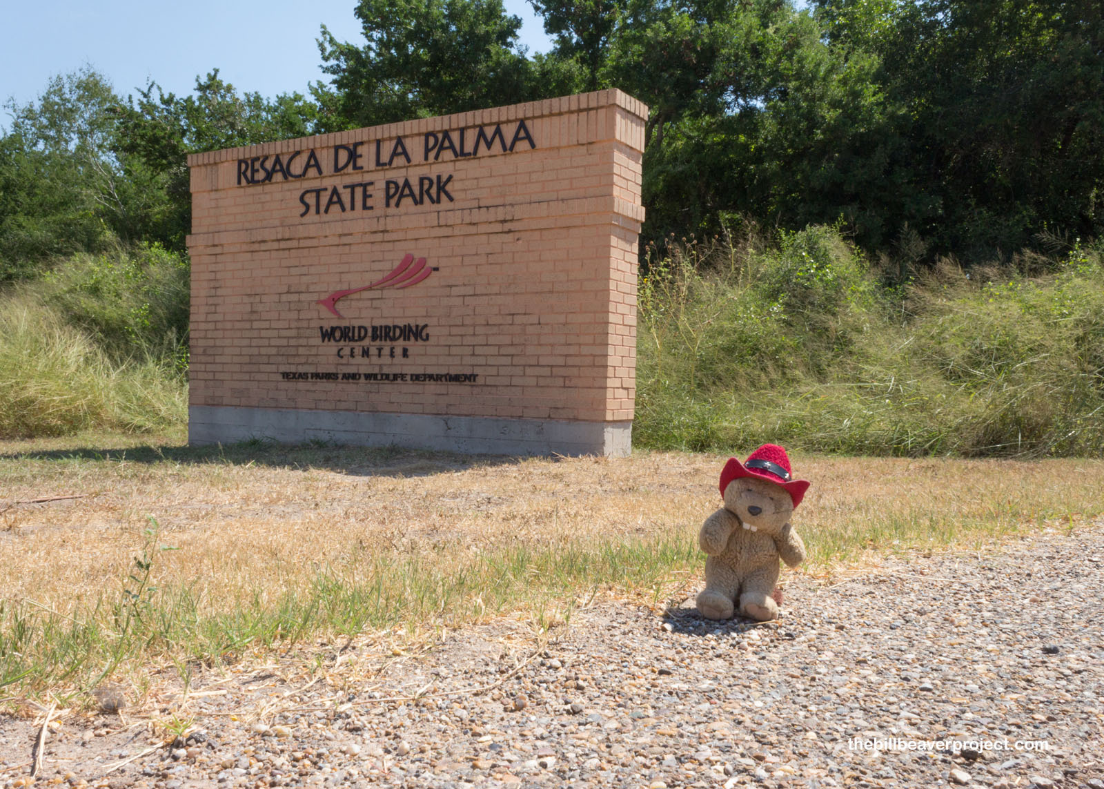 |
Resaca de la Palma State Park is part of the World Birding Center! It’s an important stopover for migrating birds traveling between the US and Mexico, rare birds like the Northern Beardless-Tyrannulet, Great Kiskadee, and Plain Chachalaca!
 |
Both the state park and battlefield take their name from resacas of the Rio Grande. A resaca appears after a river changes course and leaves behind a patch of swamp! Here at this resaca, I watched vultures circling over green jays and turkeys, and off in the distance, the sudden pop-pops of hunting guns. It was white-tipped dove season, and I wasn’t so sure that it was safe to go much further down the trail.
 |
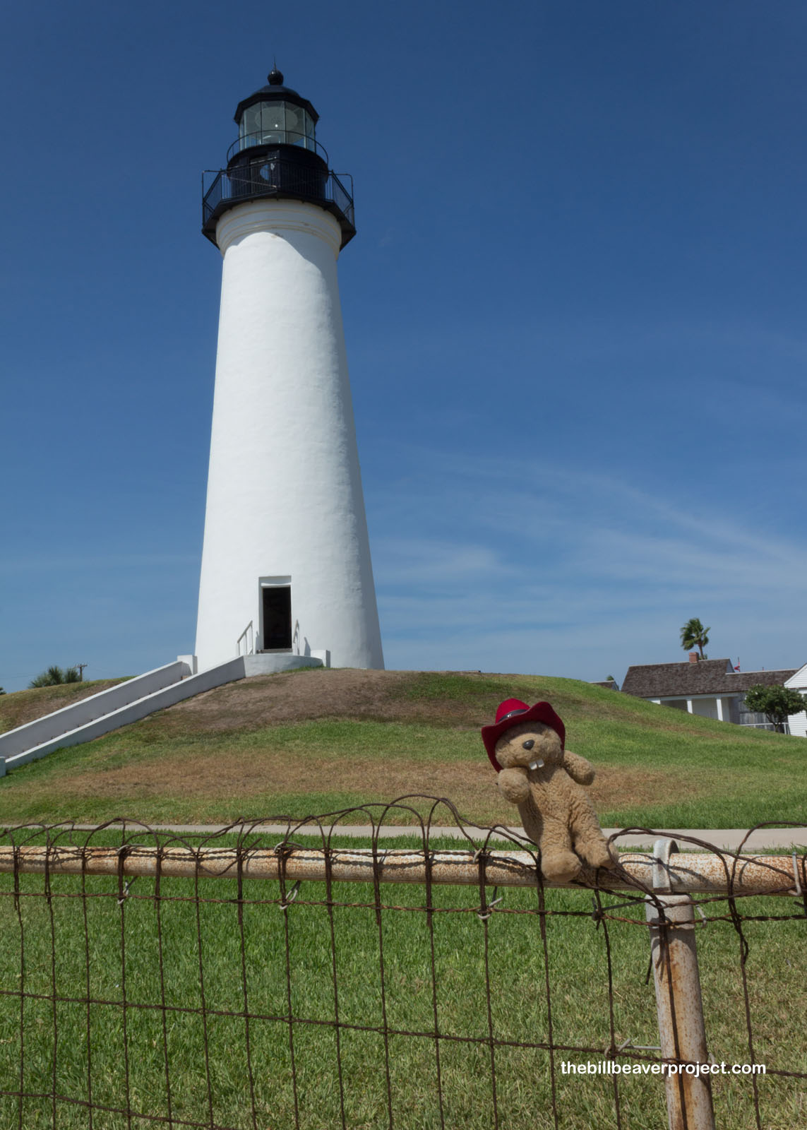
Instead, with a whole bunch of time left until the Greyhound bus took me north again, I headed east. I had a tasty late lunch at the Pirate’s Landing in Port Isabel and took a stroll around the Port Isabel Lighthouse, the only one on the Texas coast that’s open to the public!
 |
In some ways, I had too much and too little time at the same time! I crossed over to South Padre Island to enjoy the ocean breezes, but at the height of the summer tourist season, parking was a rare and precious commodity. So, I headed back to Brownsville to watch the sun set over the US-Mexico border and ponder what the future will mean in ongoing disputes between the two neighbors. This border town seems sleepy and quiet, a far cry from the chaos I hear about on the news. It also has the fanciest Greyhound station I’ve ever seen! At the end of the day, I could see pretty clearly what made the Rio Grande Valley a place worth fighting for!
Stay bussy, my friends!

Previous Day |
Total Ground Covered: 956.0 mi (1,538.6 km) |
Next Day |