 Previous Day |
Big Bend National Park → El Paso, TX 336.5 mi (541.5 km) |
 More 2018 Adventures |
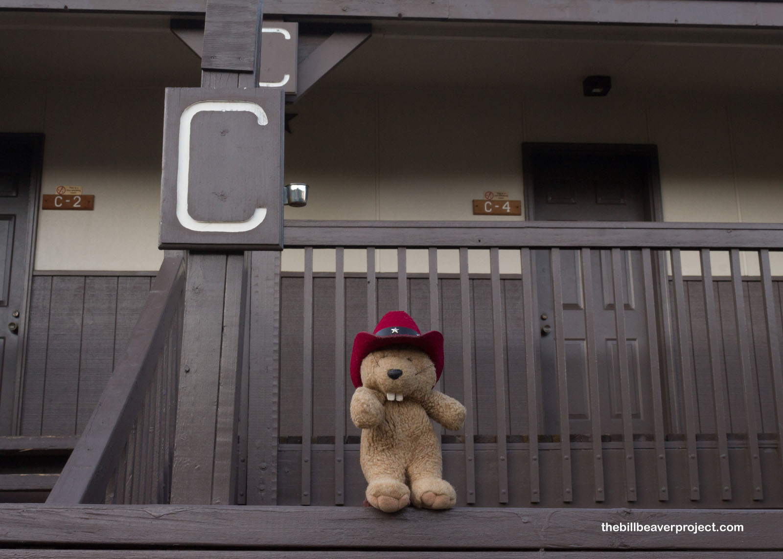
I spent the night in Room C-4 at the Chisos Mountain Lodge! Don’t worry, it wasn’t explosive! Quite the opposite, actually. I had only two concerns the whole time: locking myself out on the back deck and running into a mountain lion in the dark! Never read mountain lion horror stories right before you go hiking. It’s good to be aware of them and know what to do when you meet one, but reading the encounter stories right before bed keeps a beaver up at night!
 |
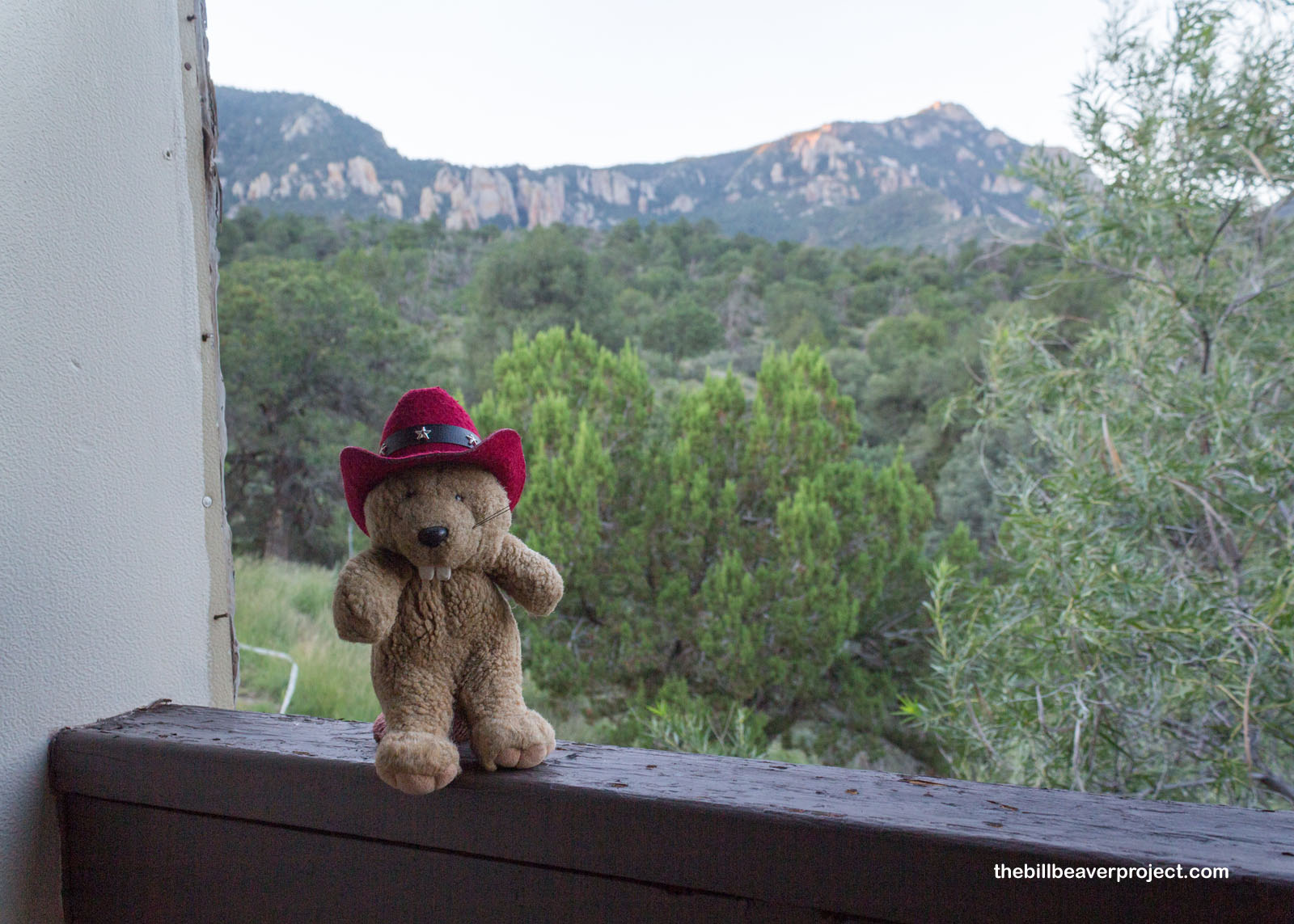
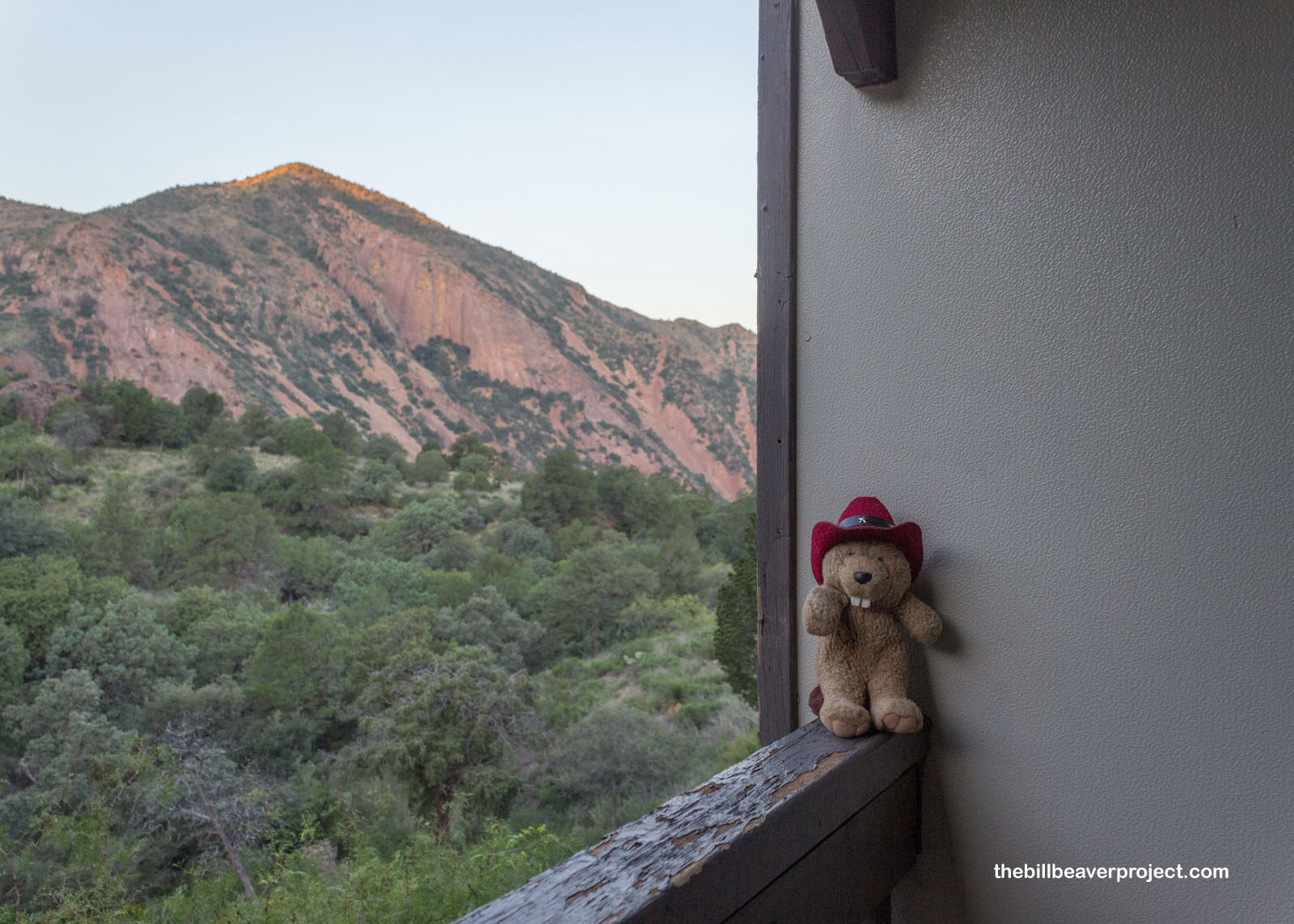
Anyway, I got up this morning and took in the sunrise views of the mountain lions’ domain, and big cats or no big cats, it looked like a spectacular day in a spectacular setting! My goal today was to summit Emory Peak, which at 7,825 feet is the highest mountain in Big Bend National Park. I could see the peak from my balcony, which gave a pretty good sense of what the hike would be like, so I set off!
 |
 |
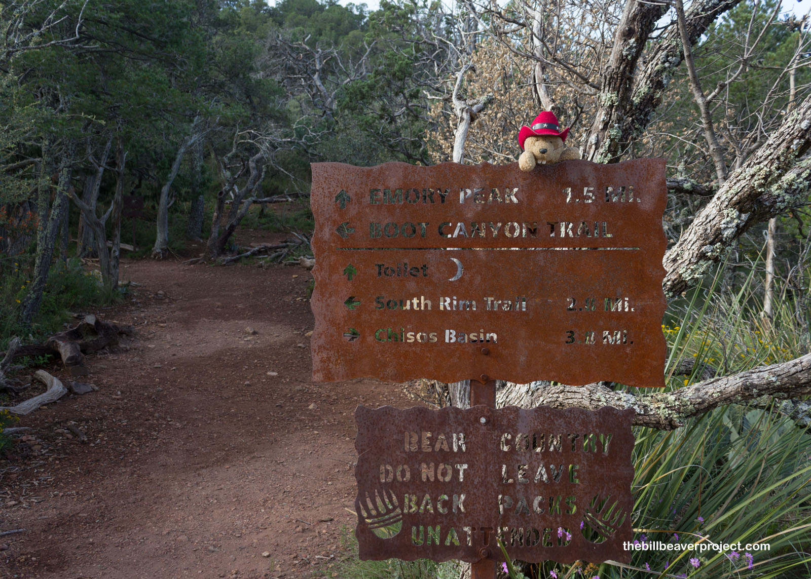
The guides at the lodge gift shop told me I would need to connect through three trails to get to the Emory Peak trail, starting with the Chisos Basin Loop!
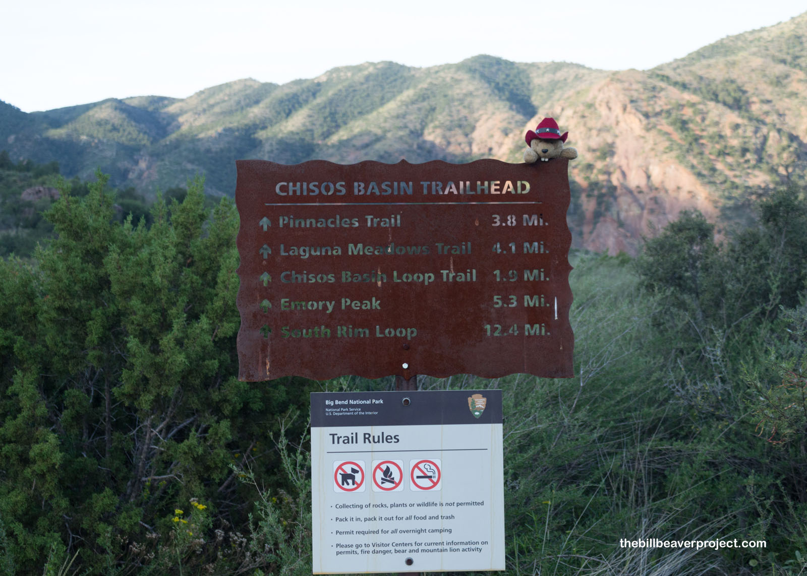 |
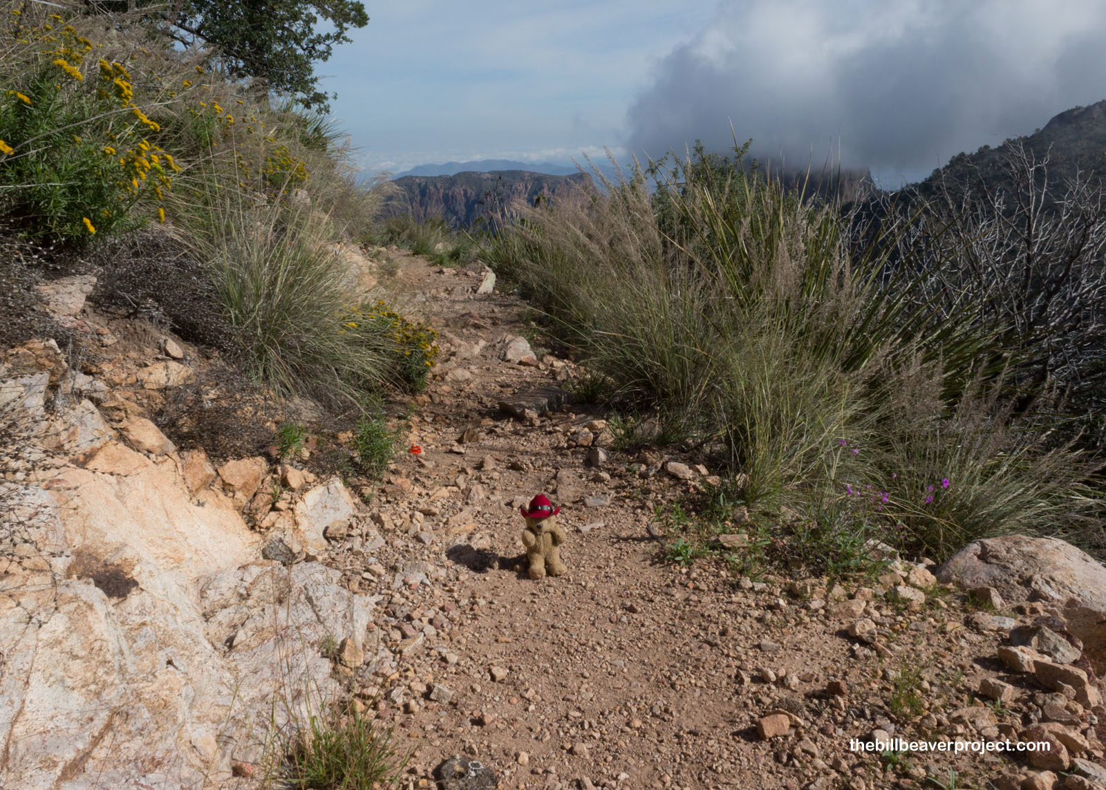
The loop trail started as a gentle incline through brush and grassland, but it did come with a few stairs, which made me dread the possibility of another hike like Baegundae. I lucked out, though. As I connected with the Pinnacles Trail, it was mostly gentle inclines and flat stretches, though I was still on the lookout for mountain lions lurking in the sotol and grama grass.
 |
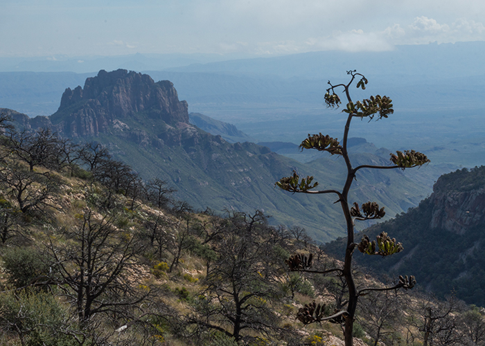
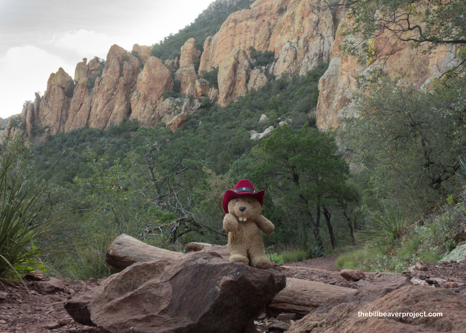
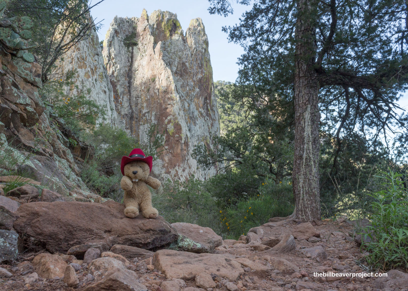
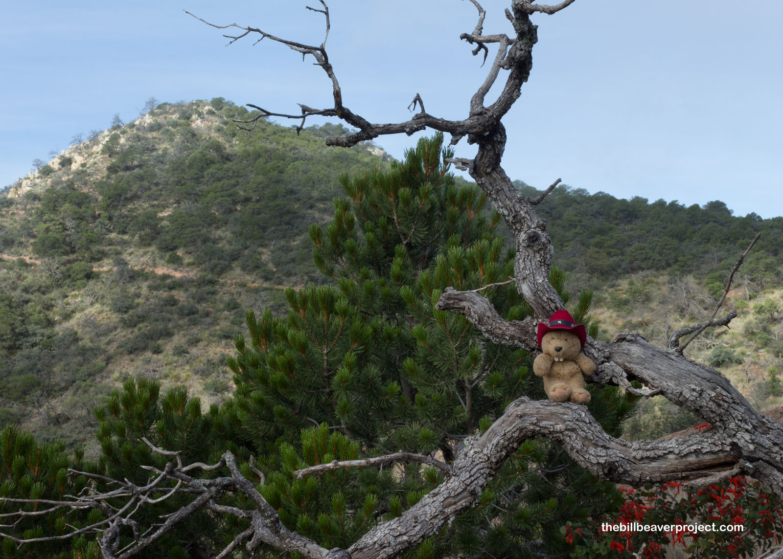
Then the trail turned into switchbacks leading up the northeast side of the mountain, which was lined with mighty pinnacles of volcanic tuff! These mountains started rising around 38 million years ago, and have been eroding into sheer cliffs and pinnacles like these ever since. Though it would have been neat to see these formations with the sun shining on them, after yesterday’s heat, I sure was grateful to be in the shade!
 |
Rounding a curve, I spotted a black bear about a hundred feet below the trail, eating nature’s salad and minding his own business. I decided to keep it that way and kept moving, reaching a crest in the trail as the sunshine started to creep over the top of the mountain!
 |
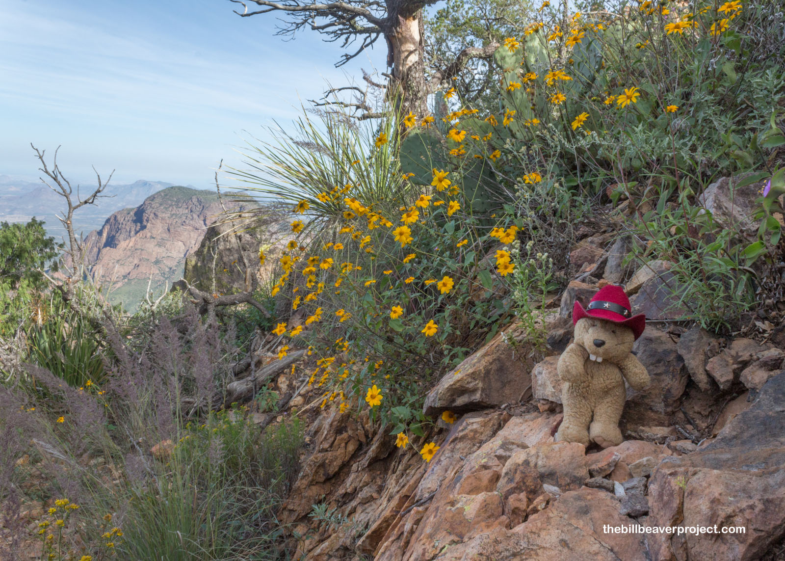
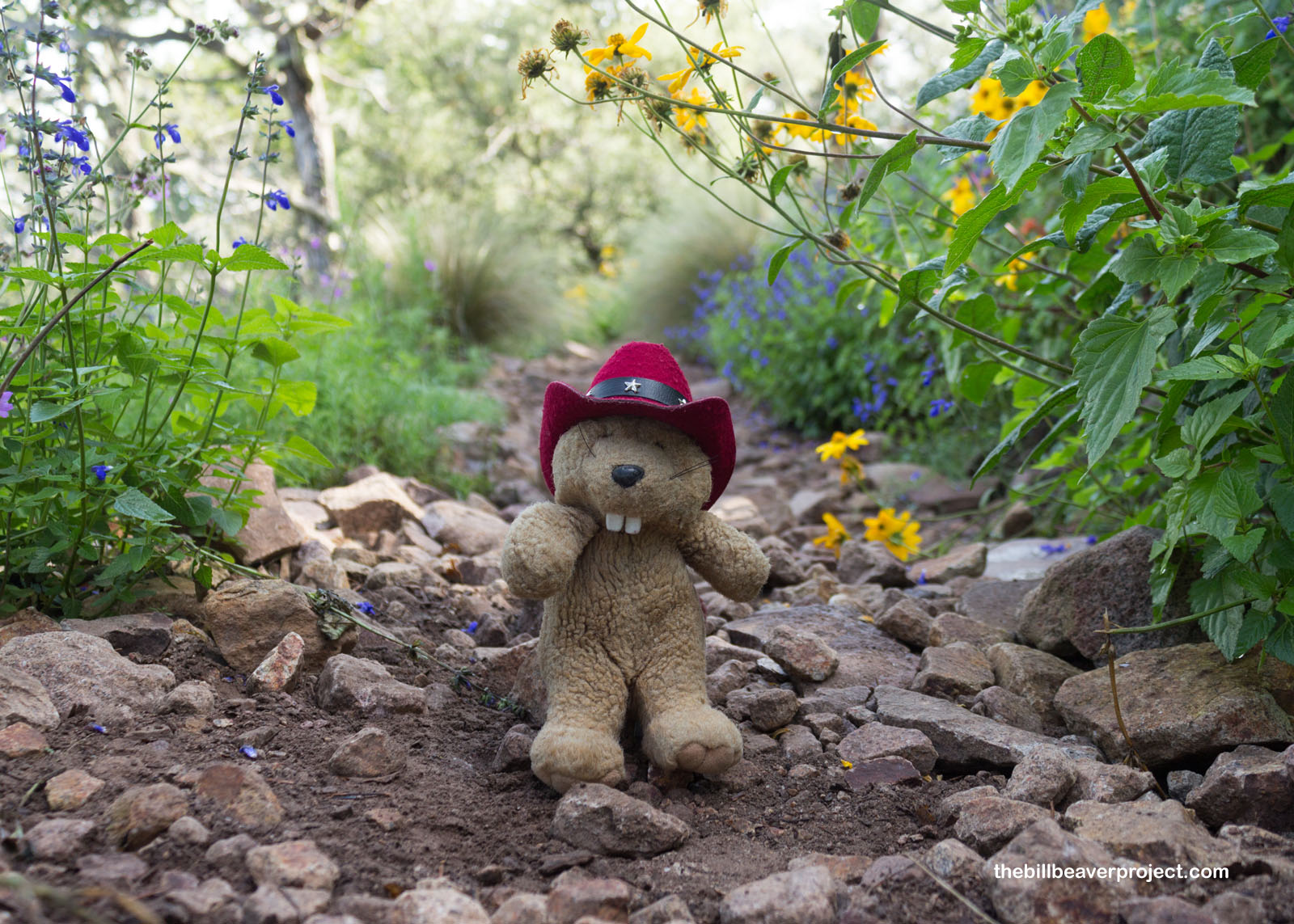
Up here in the heights, it was like spring all over again with wildflowers blooming everywhere! Apparently, flowers like the skeleton-leaf goldeneye, a relative of the sunflower, can bloom just about any time as long as there’s no frost. When paired with views like this one, you can almost drown in the beauty of it all!
 |
This was the part where the Emory Peak Trail diverged from the Pinnacles Trail. I had made it to the final stretch of my mountainous trek!
 |
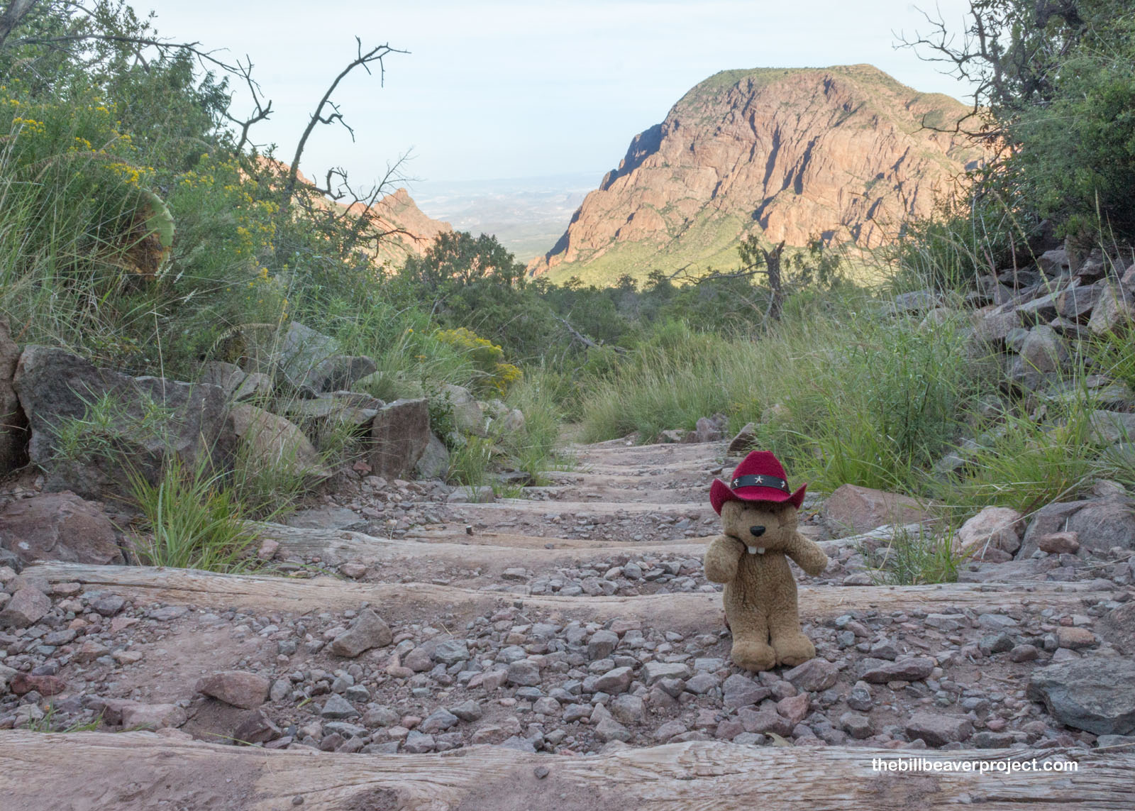
I rounded the gradually sloping east face and caught my first glimpses of the summit, less than a mile away. Well that doesn’t look so bad, I thought!
 |
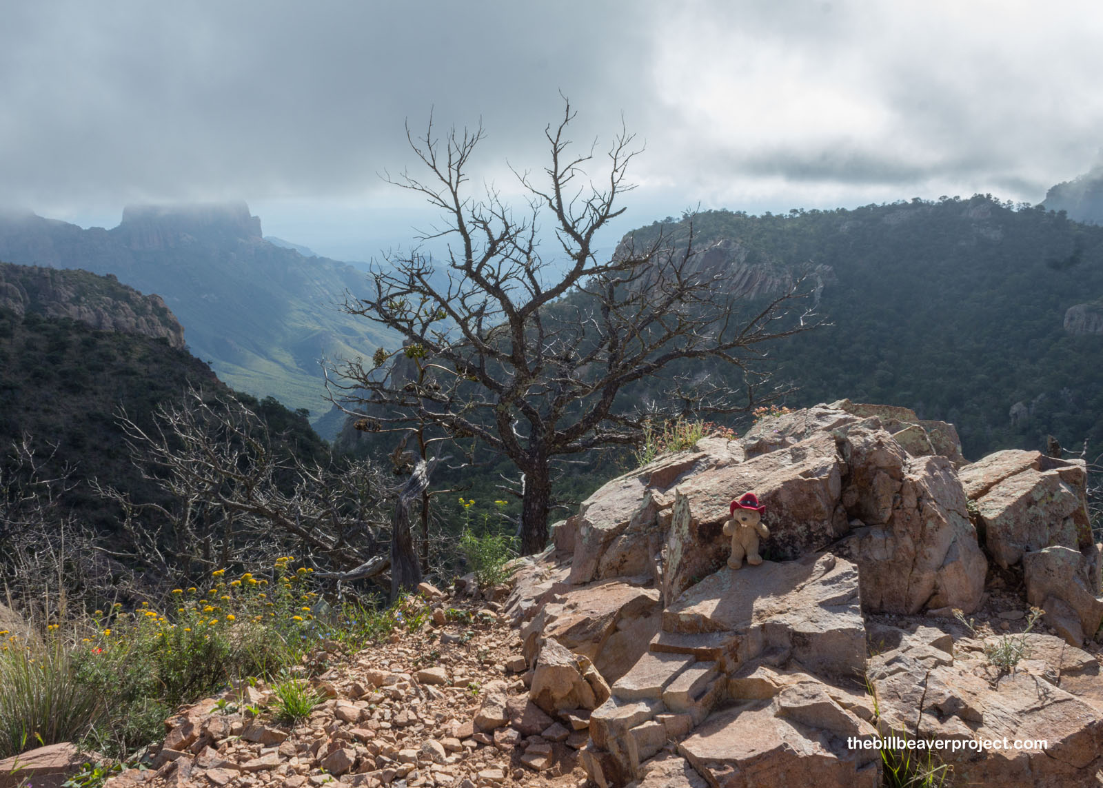
The clouds were rolling in over the peaks, the same kind that gave me no comfort when I hiked the Mule Ears Trail yesterday. I hadn’t seen any forecasts for storms, but when you’re in the mountains, there’s no 100% accurate prediction. I kept my pace brisk!
 |
 |
After a few more gradual switchbacks, I took a breather in a shady spot on the north face, soaking in the colors of the wildflowers. I couldn’t tell if it had recently rained, but this north-facing slope was super lush!
 |
A scramble up a slope and a ridge, and I found myself faced with not one but two possible summits on either side, with a thousand-foot drop in the middle! I would have to choose carefully, because risks like these aren’t worth taking twice. So I started with the left cliff.
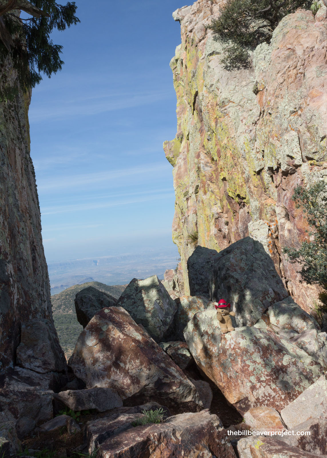 |
Actually, the ascent wasn’t so bad. It even had a trail of sorts, so it was nothing like my fiasco at Hart Peak back in June. When I reached the top, I marveled over the amazing landscape of the Chisos range but could not for the life of me find a summit marker.
 |
That’s when I looked across the chasm and realized I’d climbed up the wrong rock! So I scrambled back down and maneuvered my way up the other side. This ascent was more strenuous, but it was very comforting to be climbing the opposite side from the sheer drop, with lots of trees to break a fall should one occur!
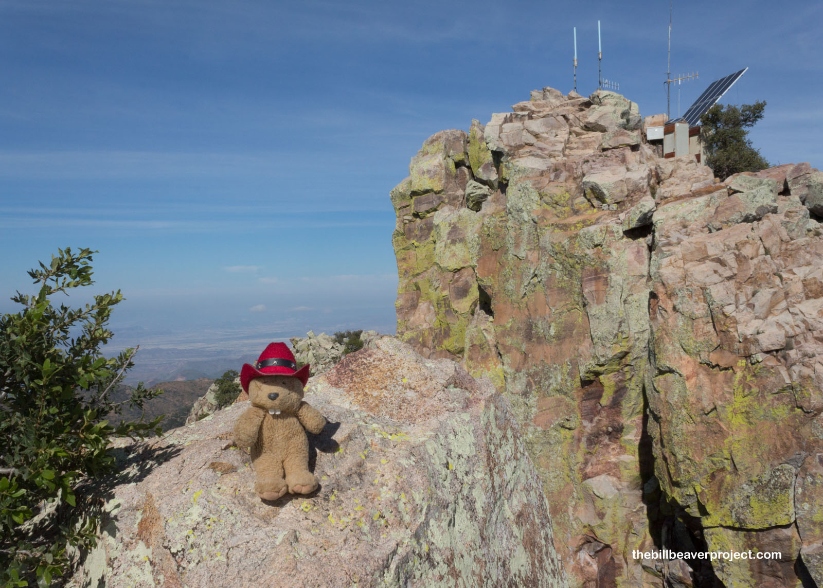 |
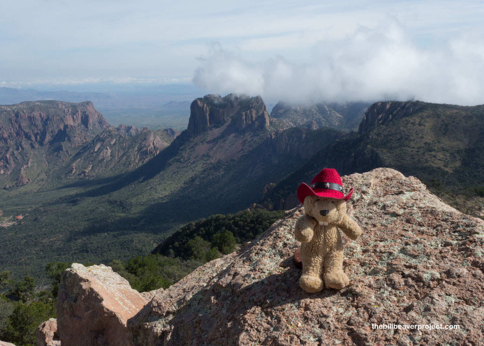
At last, I reached the real summit, broken up by the antennae that power Big Bend’s two-way radio system. The desert stretched for miles on all sides. In the distance, I could see the V-shape of Santa Elena Canyon, and all to the south, the Mexican state of Coahuila! I settled down to have some snacks and keep my eye on a distant circling hawk.
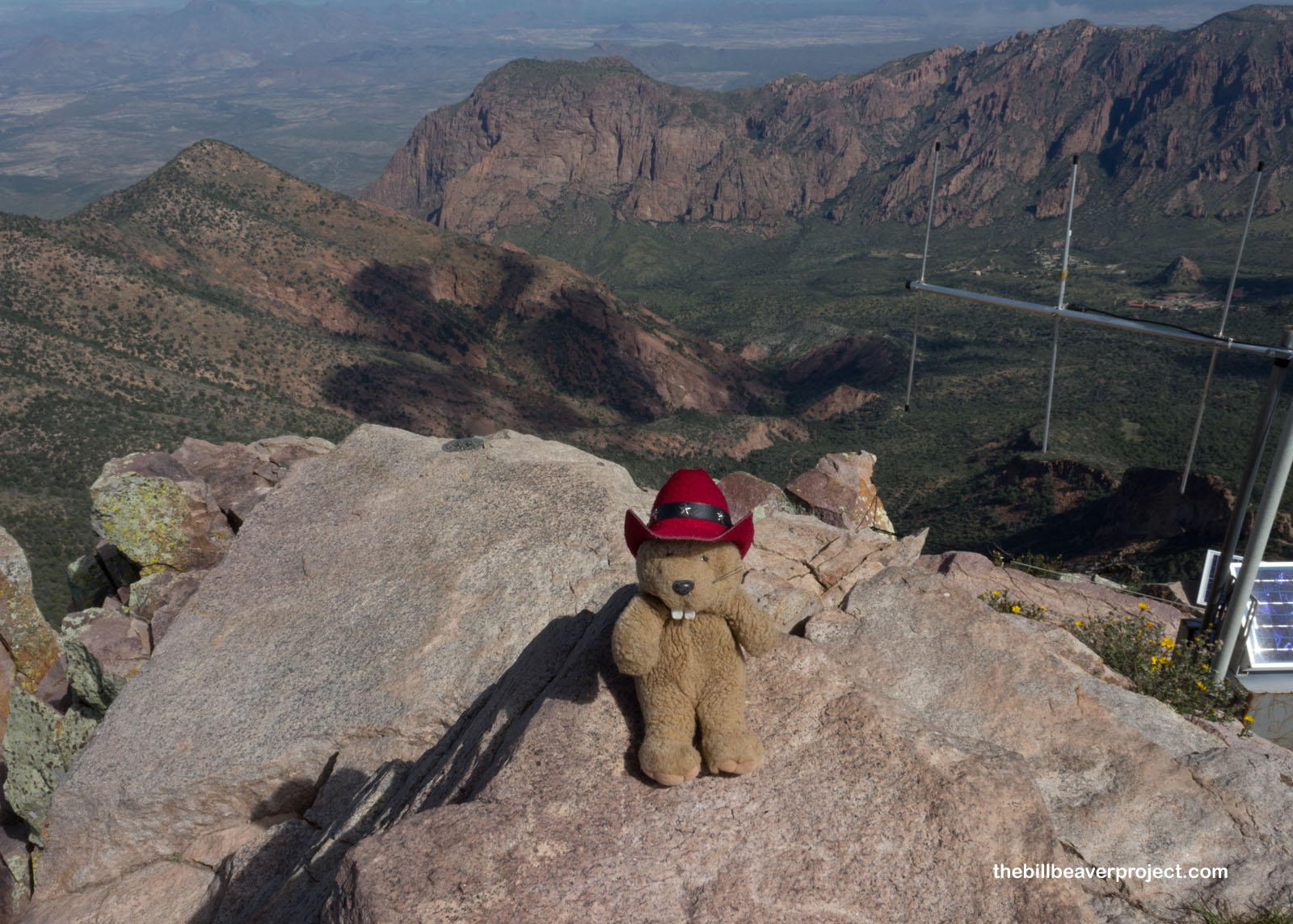 |
I had the summit all to myself for at least fifteen minutes. Then, two things happened: a family of hikers reached the false summit, and my departure deadline to get back to El Paso Airport by 6:30 was quickly approaching. So I said “So long!” to the biggest park in Everything’s Bigger Land, grabbed myself an ice cream sandwich at the bottom, and headed back to civilization with nary a whiff of a mountain lion!
Happy trails!

Previous Day |
Total Ground Covered: 1,123.5 mi (1,808.1 km) |
More 2018 Adventures |