 Previous Day |
Jerusalem → Masada → Tel Aviv 270.0 mi (434.6 km) |
 More 2019 Adventures |
Shachar tov, chaverim!
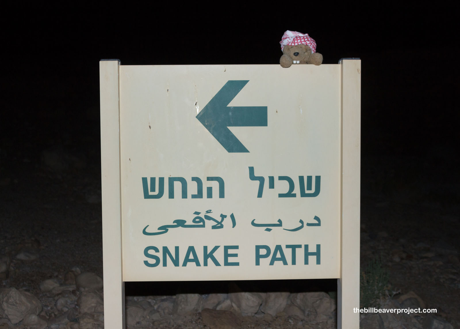
Sleep has not been a popular choice on this Middle Eastern runaround, but this morning, I even beat the salat al-Fajr! That’s because I have a very special quest to take today: to watch the sunrise at Masada National Park! That meant hitting the road just after 3:00 AM in order to make it to the Snake Path Trailhead by 5:00! It was a little unnerving going past the checkpoints in the dark, but the soldiers didn’t seem too concerned!
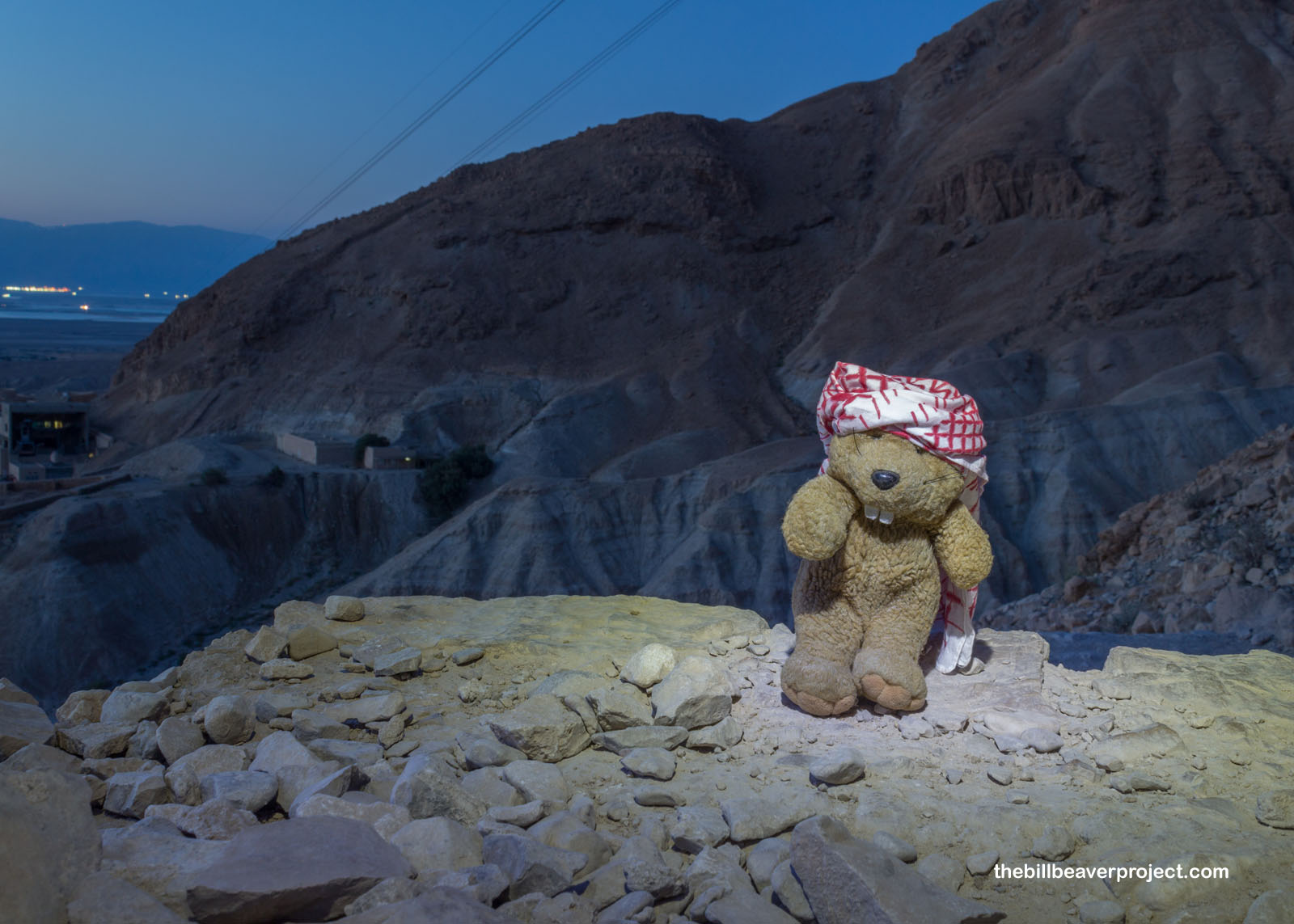
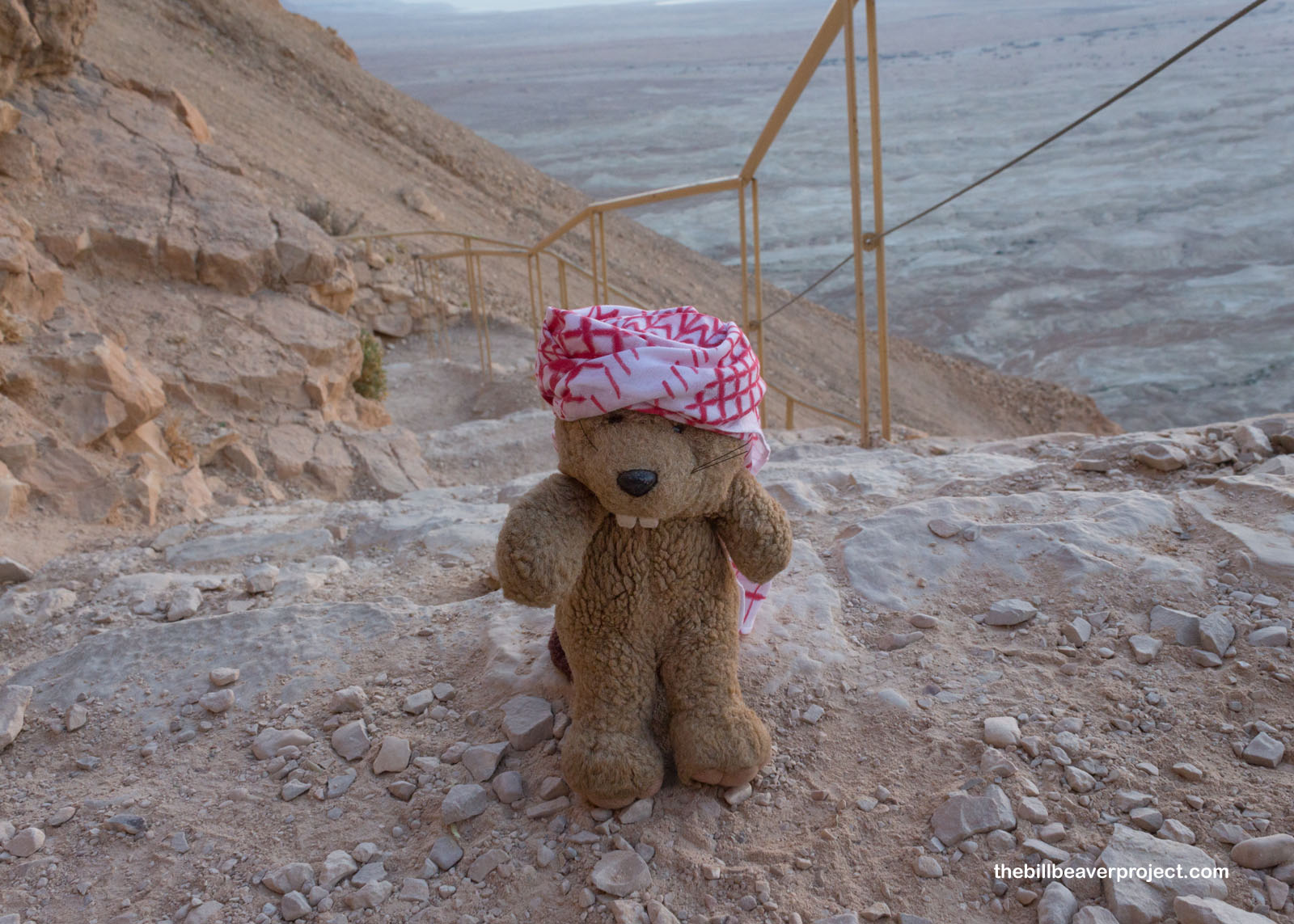
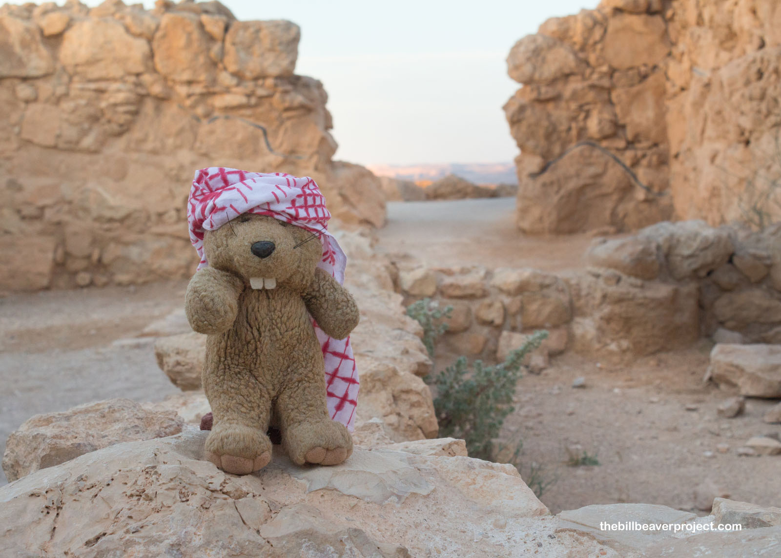
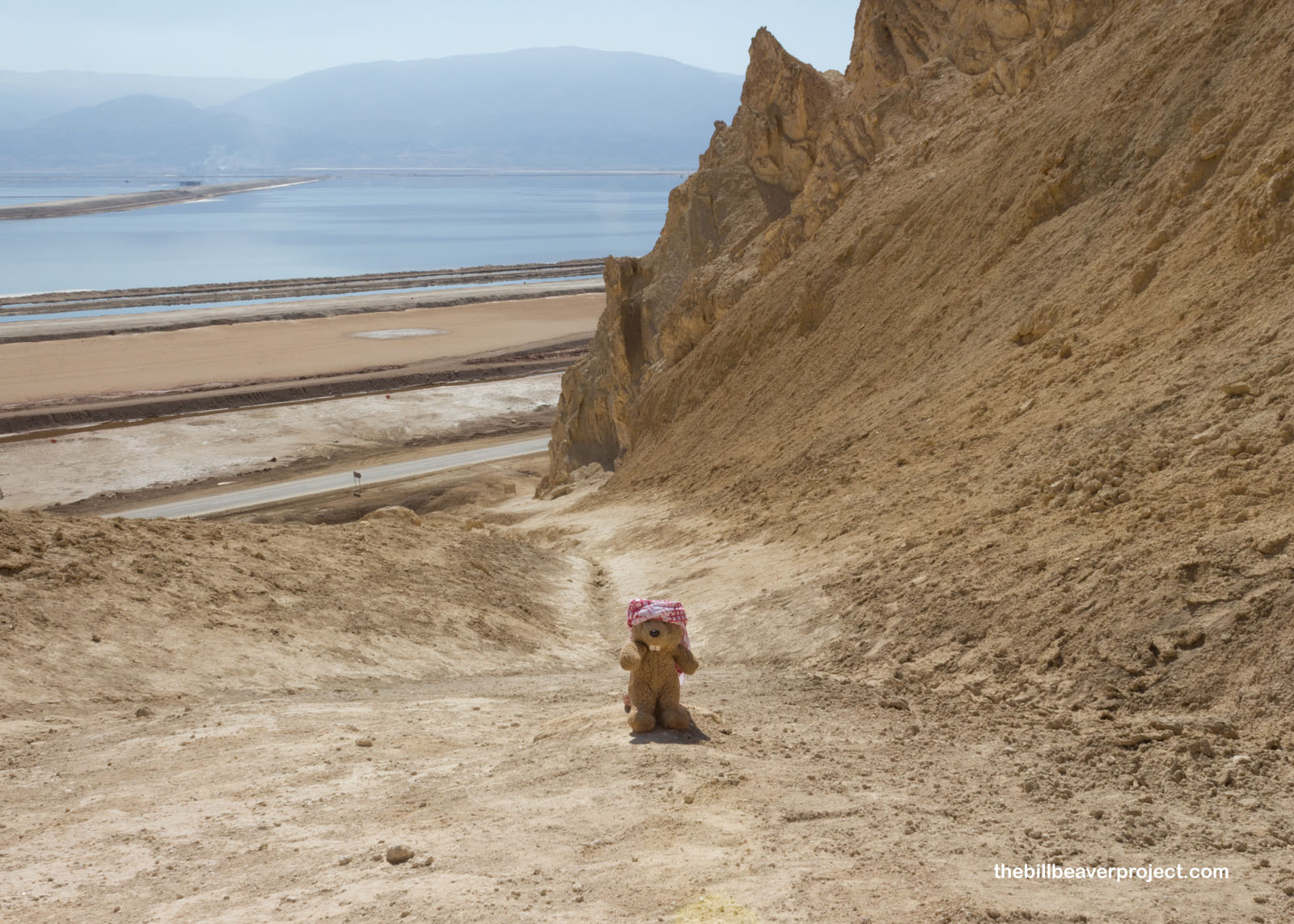
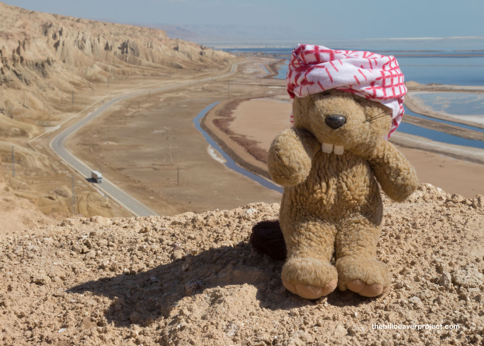
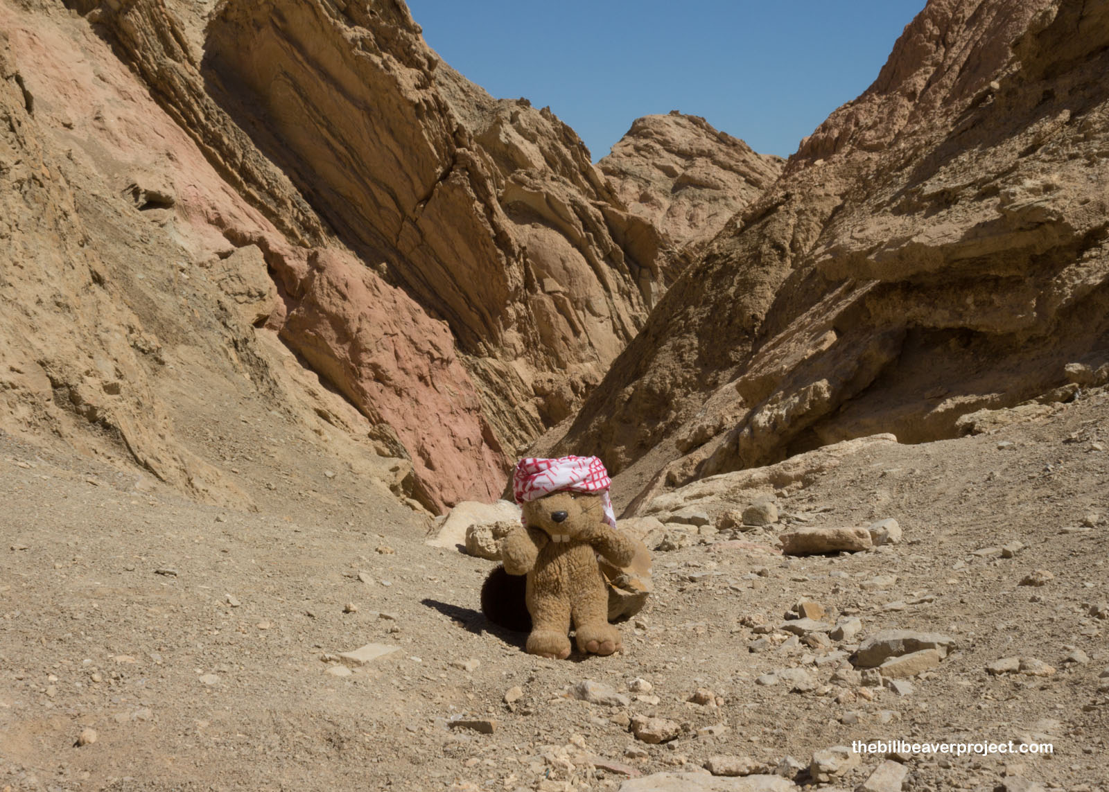
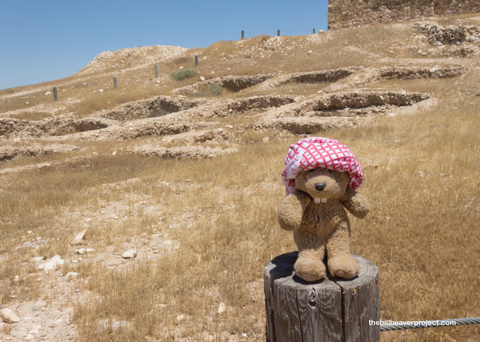
When I arrived at the parking lot around 4:30 in the morning, I sure wasn’t alone! The Snake Path has been a popular route up the side of the Masada Plateau since at least 35 BC, and today, it’s still the most popular route for early hikers looking to beat the gondola crowds! I decided I was going to need my keffiyeh again, because there was going to be a lot of desert sun today!
 |
 |
After paying the toll and embarking on the trail, I was nicely surprised by how easy it was to navigate the trail! There were twinkling flashlights up ahead of me and behind me, but as I climbed higher up this 2.7 km (1.7 mi) path, the light grew from dark to dim, and dim to bright, and bright to glorious!
 |
 |
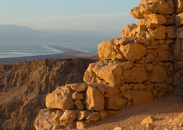
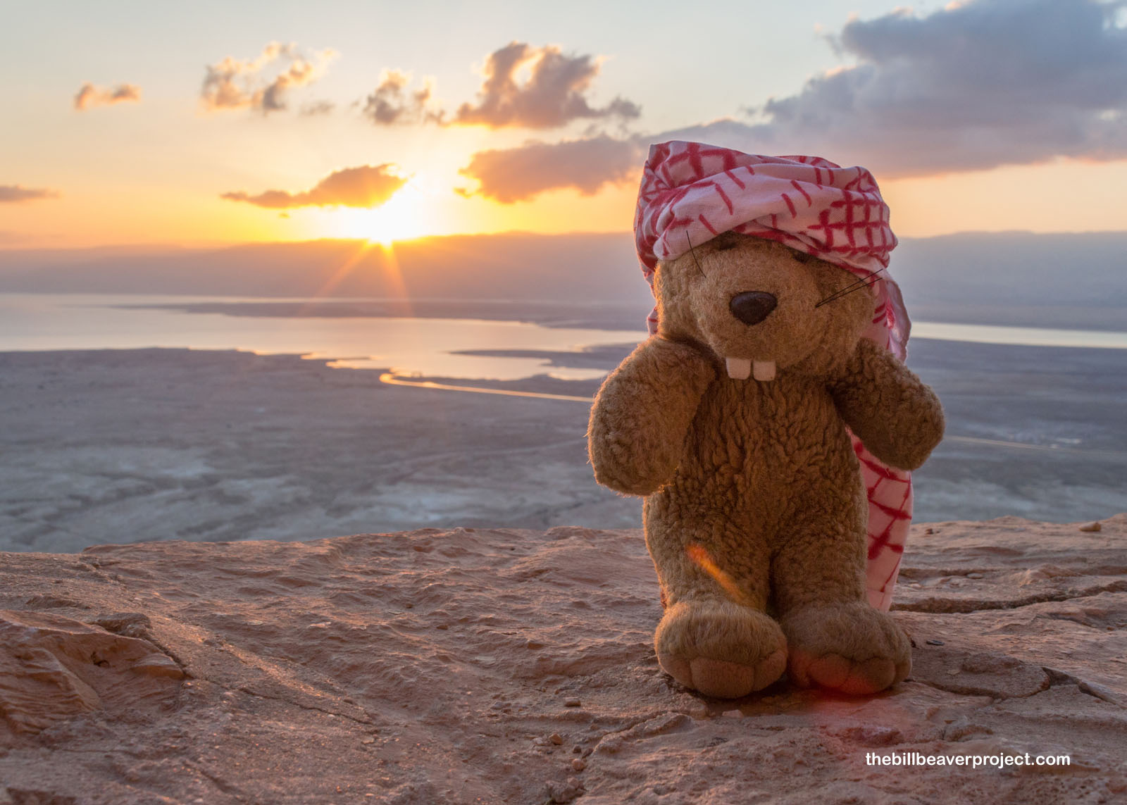
As I reached the top of the Snake Path, I turned to look out over the Dead Sea, where the red sun had just crested the horizon! I hadn’t expected much, since the last few days have had either too many clouds or too few, but this was just the right amount! The desert sun washed the stones in red, the valley in purple, and my heart with wonder! I was ready to explore this great fortress!
 |
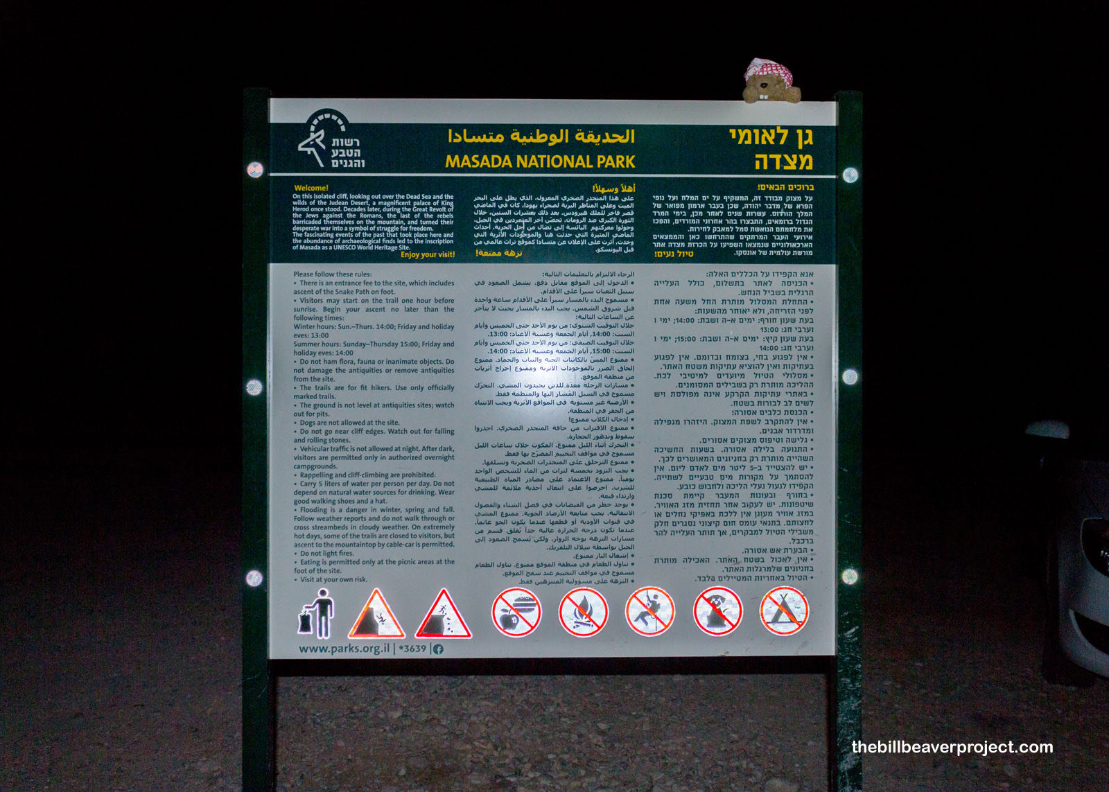
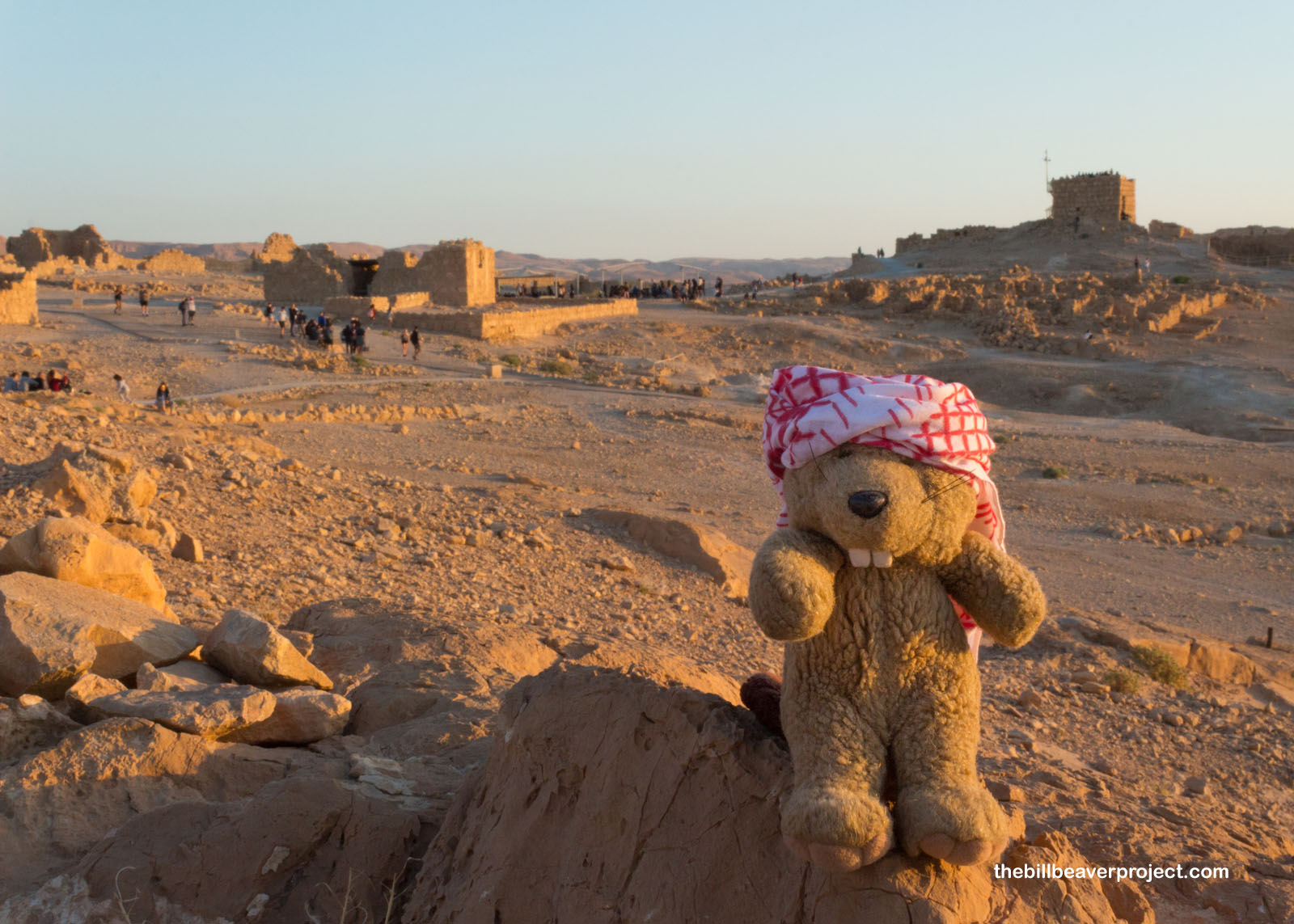
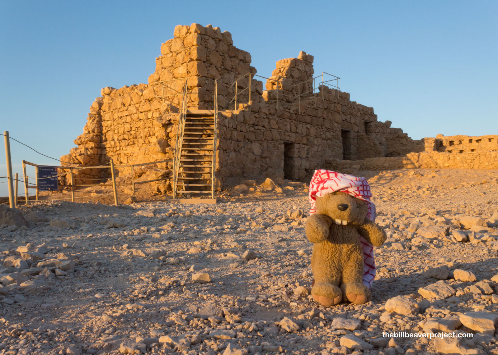
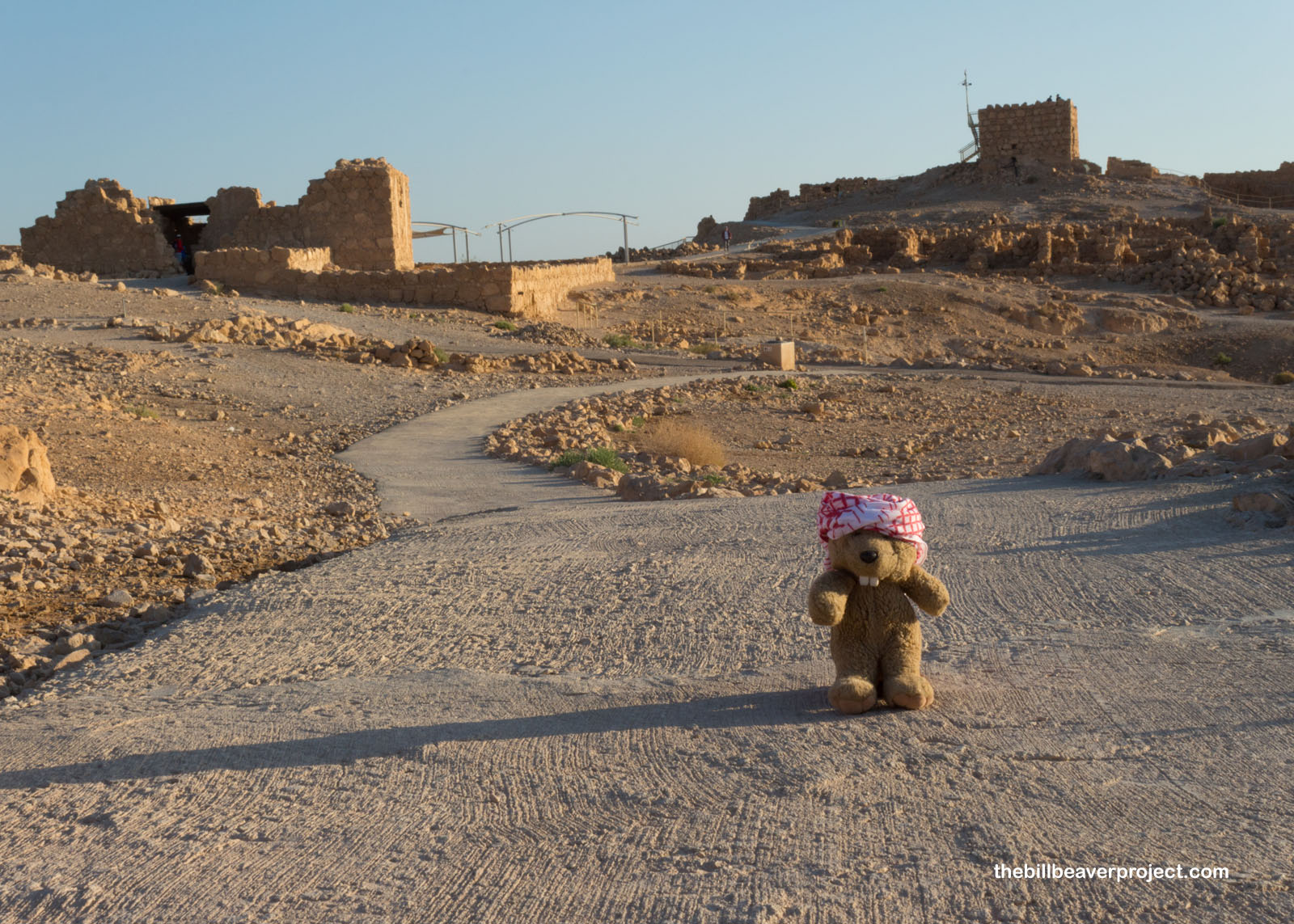
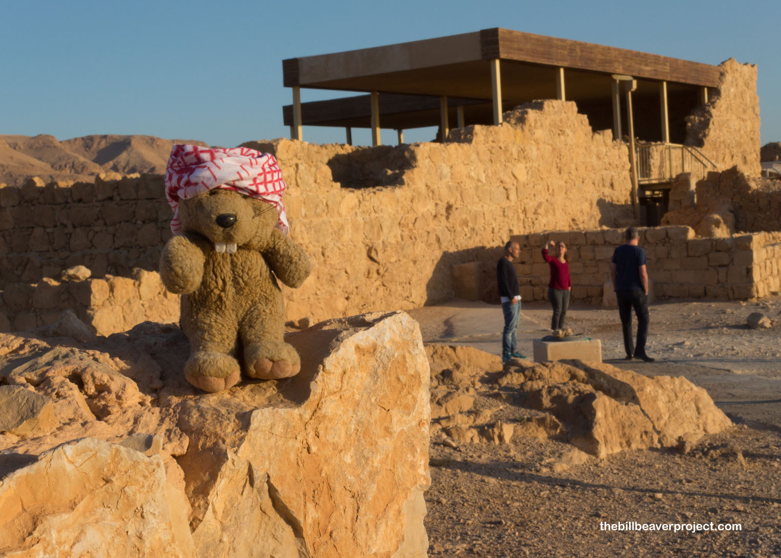
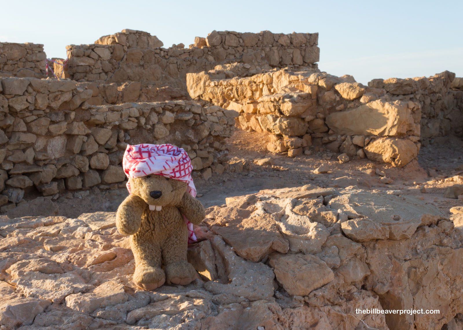
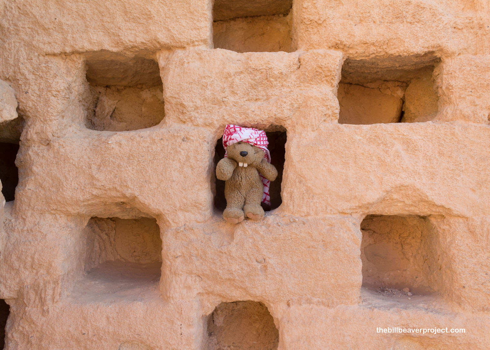
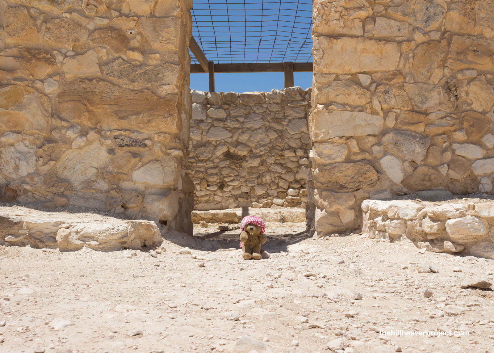
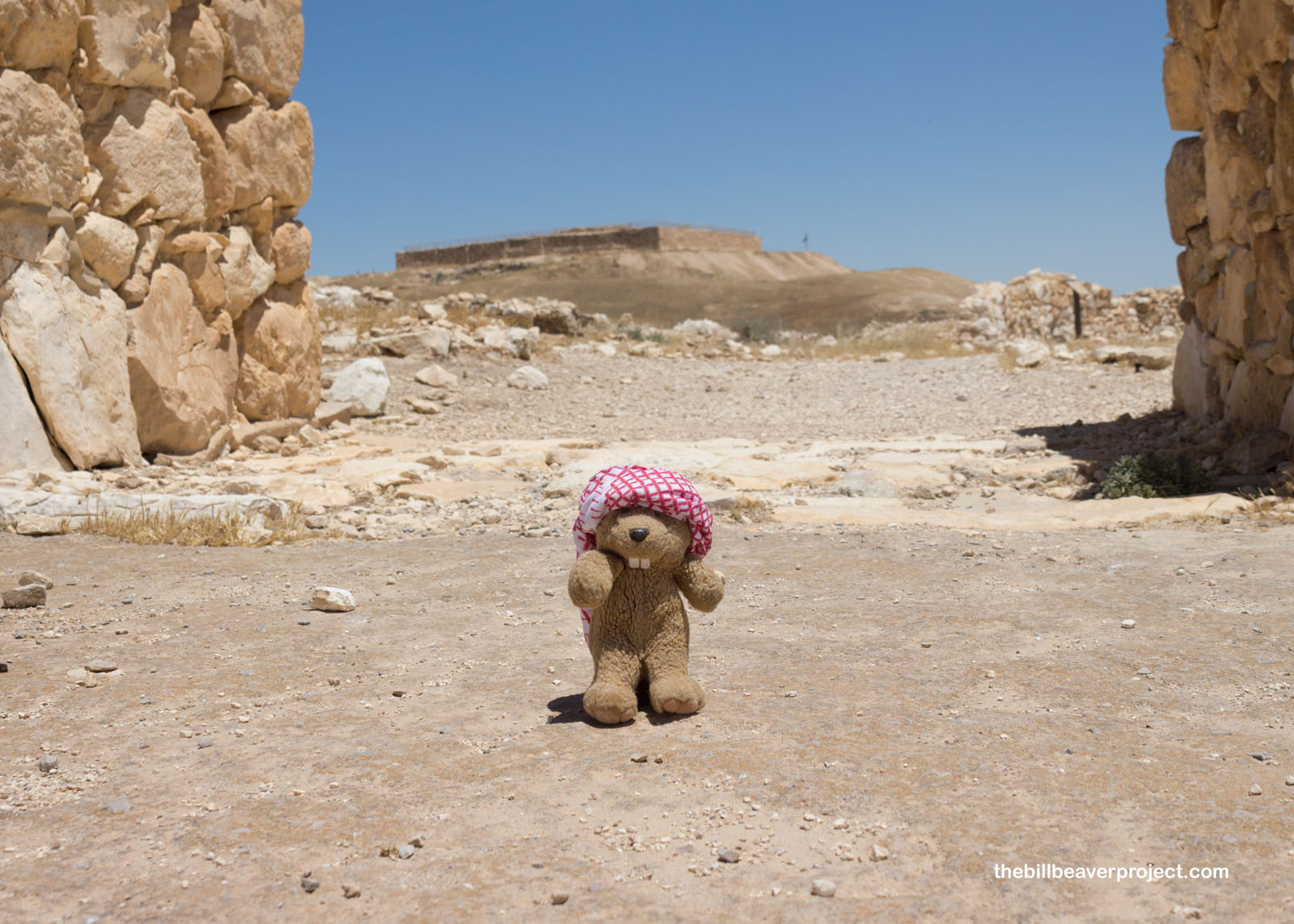
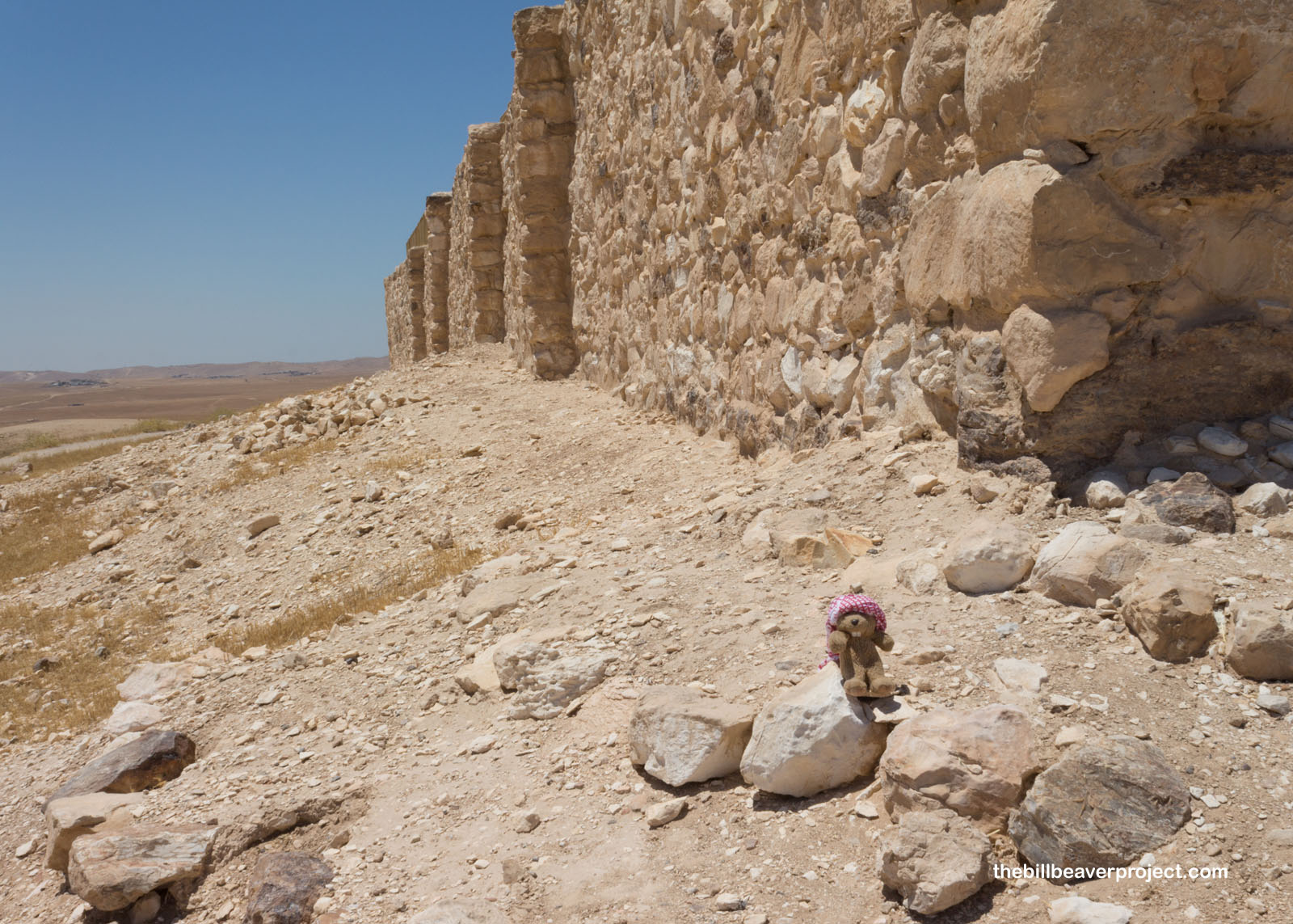
In fact, Masada itself means “fortress” and dates back all the way to at least 37 BC. That’s when King Herod the Great built himself a winter palace high above any possible invading armies! I decided, after entering through the Snake Path gate, that I would wander clockwise. Since most folks were still seated on walls at the eastern edge watching the sun climb to retina-scorching heights, I had a nice, quiet stroll!
 |
The first buildings I reached dated back to the Great Revolt of 66 BC! That’s when a group of Jewish folks called the Sicarii, having fled the Roman destruction of Jerusalem, captured this final stronghold against Roman occupation, which lasted eight years until the Roman forces simply overwhelmed them!
 |
 |
The next building had lots of uses! Not only was it a granary but also a place for cooking and taking a bath!
 |
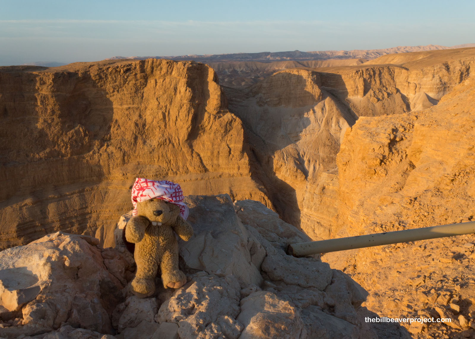
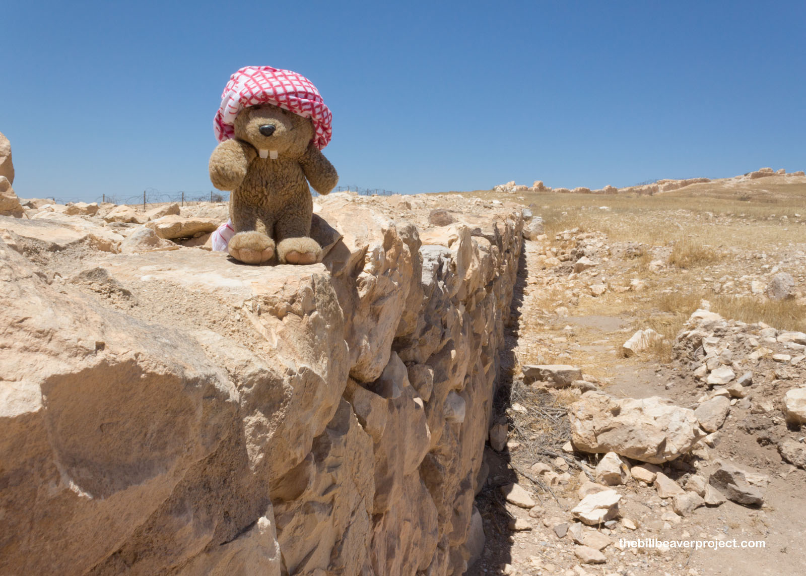
Beyond was a breathtaking view of Wadi Masada, whose bottom dropped 450 meters (1/4 mile) below! The plateau itself, upon which Masada is built, is the result of erosion and seismic activity that separated it from the surrounding rock!
 |
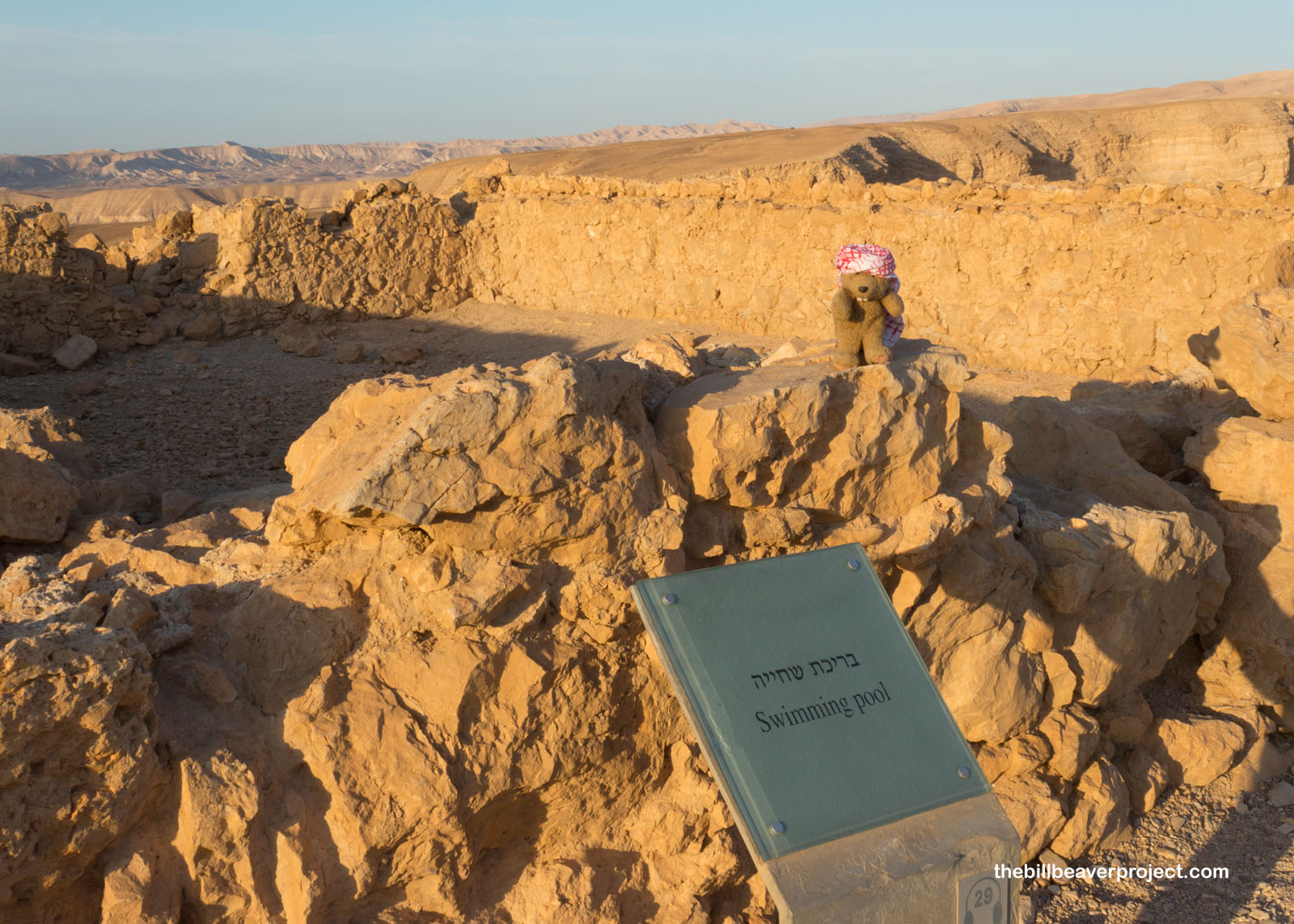
This plateau is so high and dry that I was super surprised to see that Herod the Great had included pools and baths way up here! See, the king was no fool, and he knew that in order to survive atop a desert plateau, he’d need water, and lots of it! So he installed a dam system that diverted flood water into 12 cisterns, holding up to 40,000 cubic meters of water for dry spells! They were located on two levels, so if the top one ran dry, they had donkeys and other pack animals bring up another supply!
 |
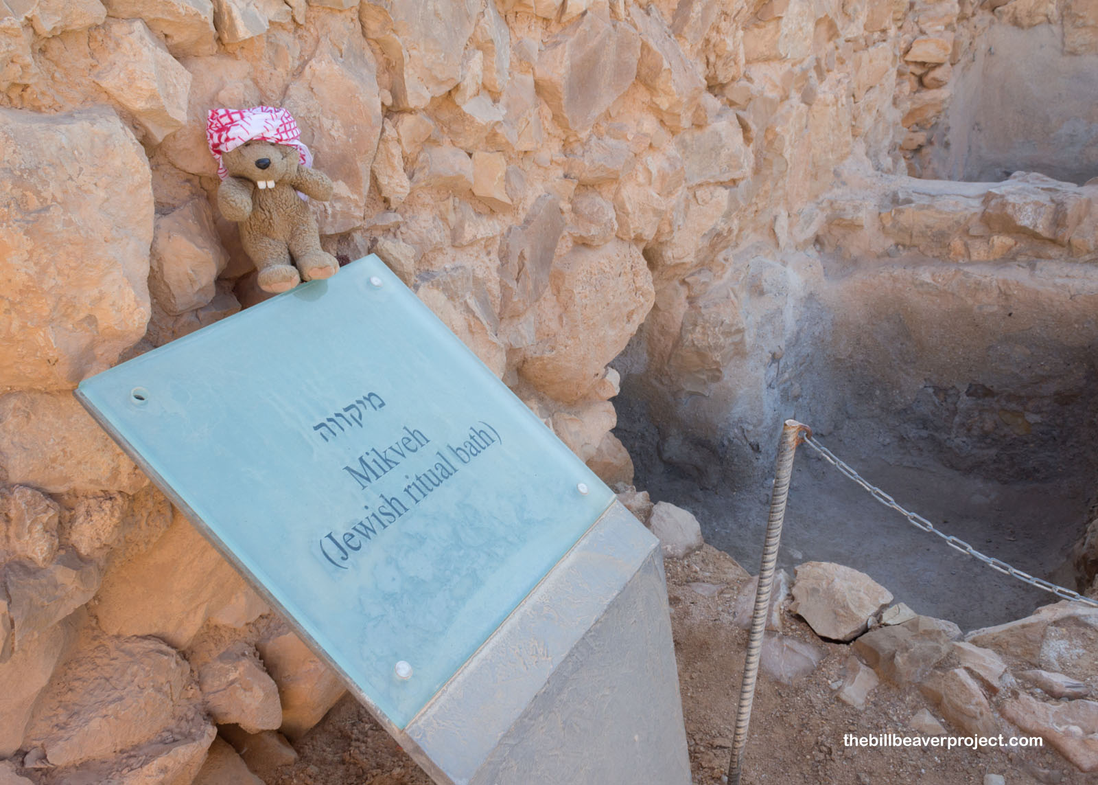 |
They also had to attend to spiritual needs up here, and when the Sicarii rebels set up shop here, they built a synagogue and used some of the water for ritual baths, or mikvehs!
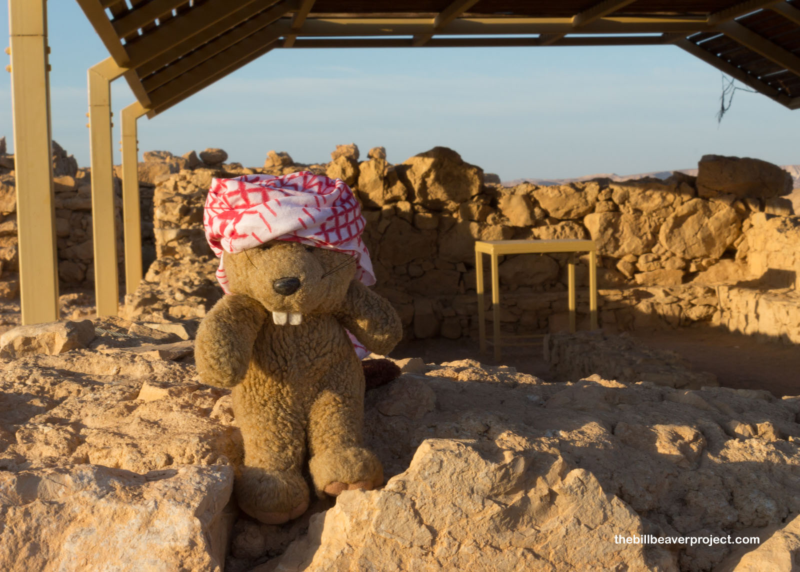 |
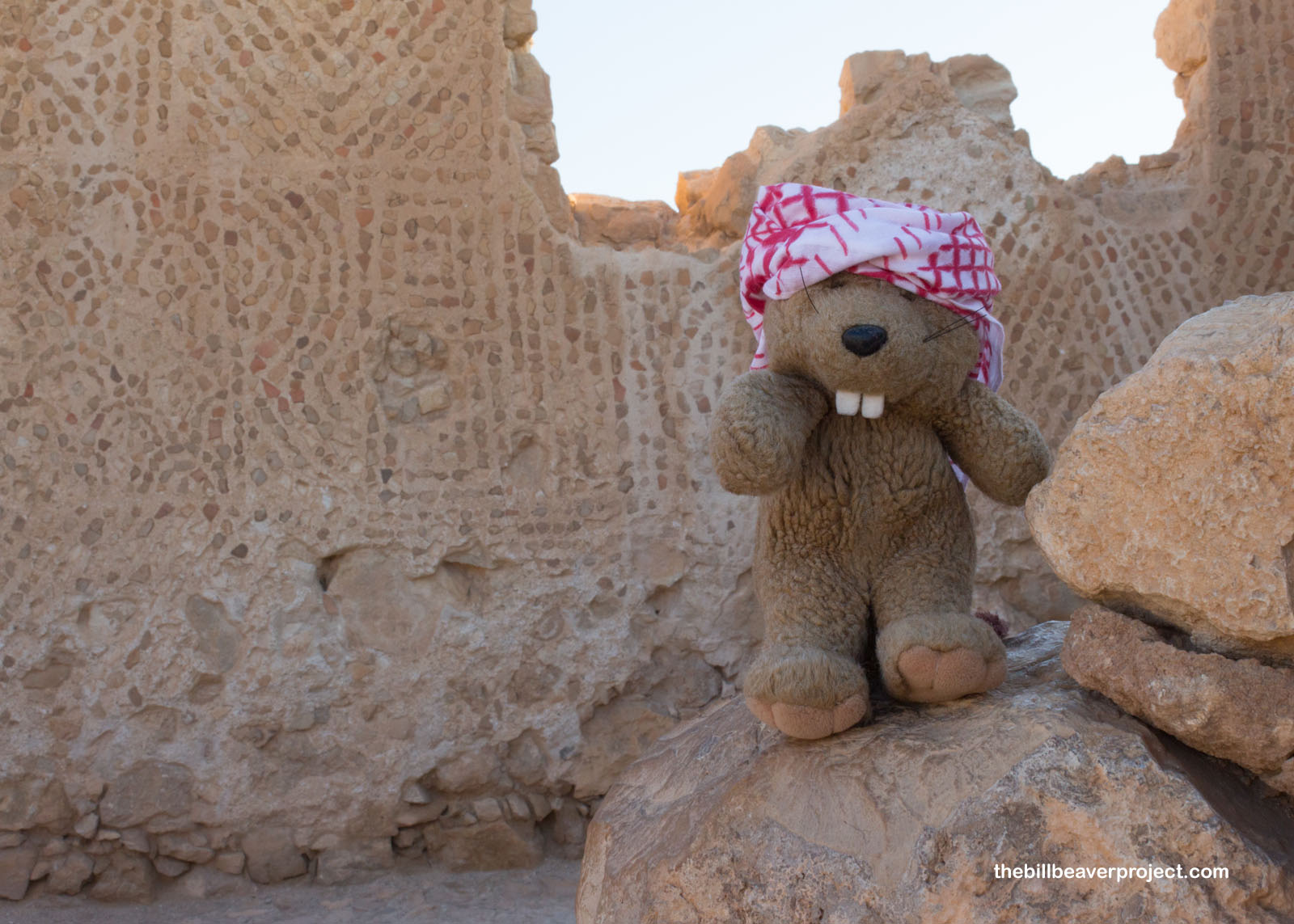
And this was the most sparsely built part of the plateau! Not too far away, the walls of the actual palaces beckoned!
 |
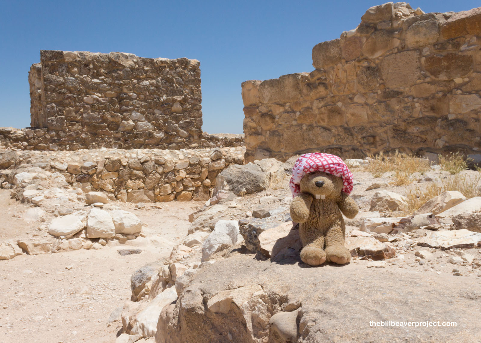
The Western Palace was Herod’s actual palace and the largest structure on the Masada Plateau! It was built around a courtyard connecting residential, military, social, and bathing rooms! He had a grand immersion pool as well as small guest palaces. His guests sure got the royal treatment when they visited!
 |
 |
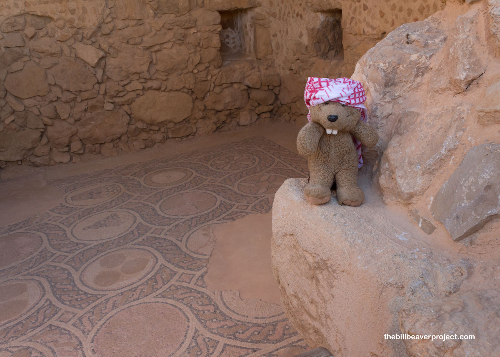
When the Romans took over Masada, they left their own traces, including a church from the Byzantine era, which still shows off some impressive mosaics!
 |
 |
One thing the Byzantines had in common with their Jewish predecessors at Masada was a love of pigeon raising! The two columbarium towers here were built during Herod’s time, and the Byzantines kept them up for their flocks! The pigeons sometimes ended up on the royal plate, but their poop was just as important as a fertilizer!
 |
 |
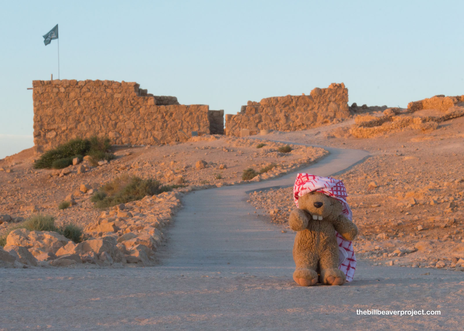
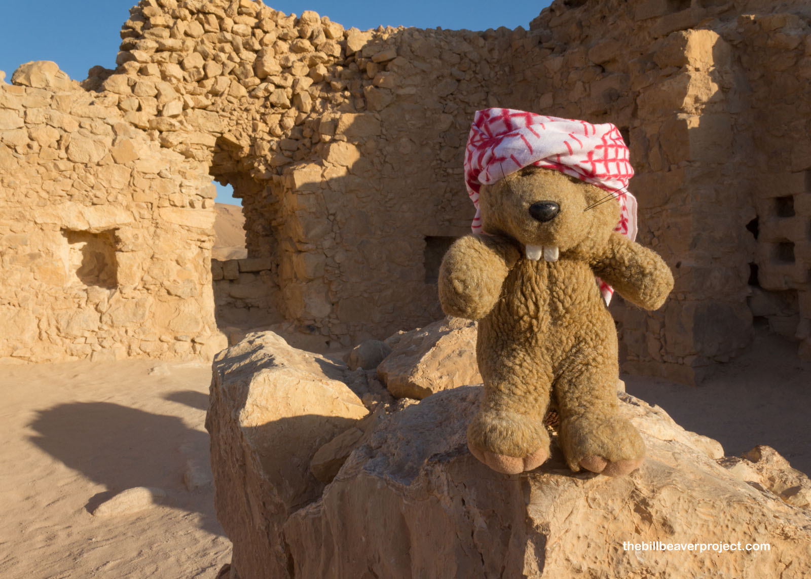
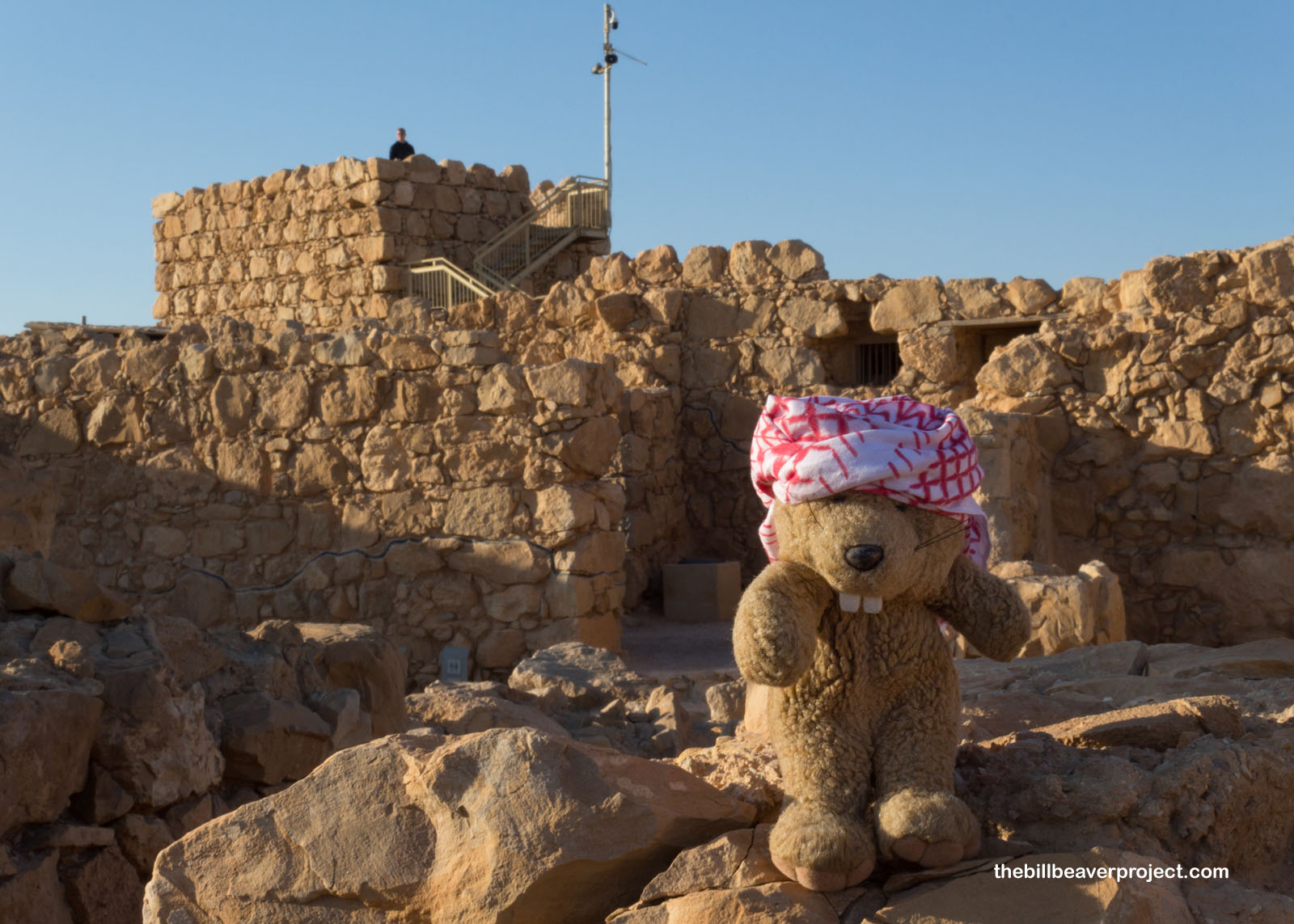
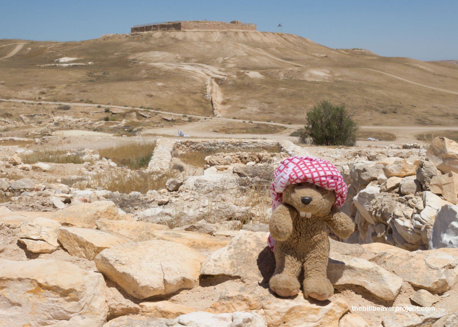
I concluded my turn about Masada at the Northern Palace, which, unlike the Western Palace, was Herod’s refuge from public life. Only high-ranking visitors got to stay here, but usually it was reserved for the king and his family. He used Greek and Roman architecture styles and filled it with both frescoes and mosaics. It was especially nice, though, because it had an observation area where the royal family could stand in the shade and enjoy the breeze on a hot day!
 |
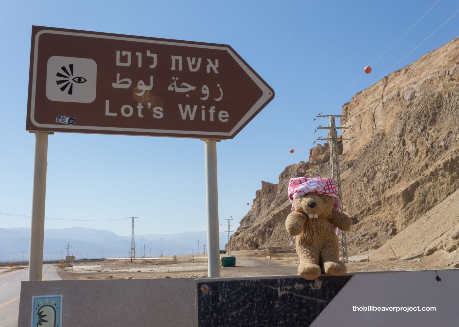
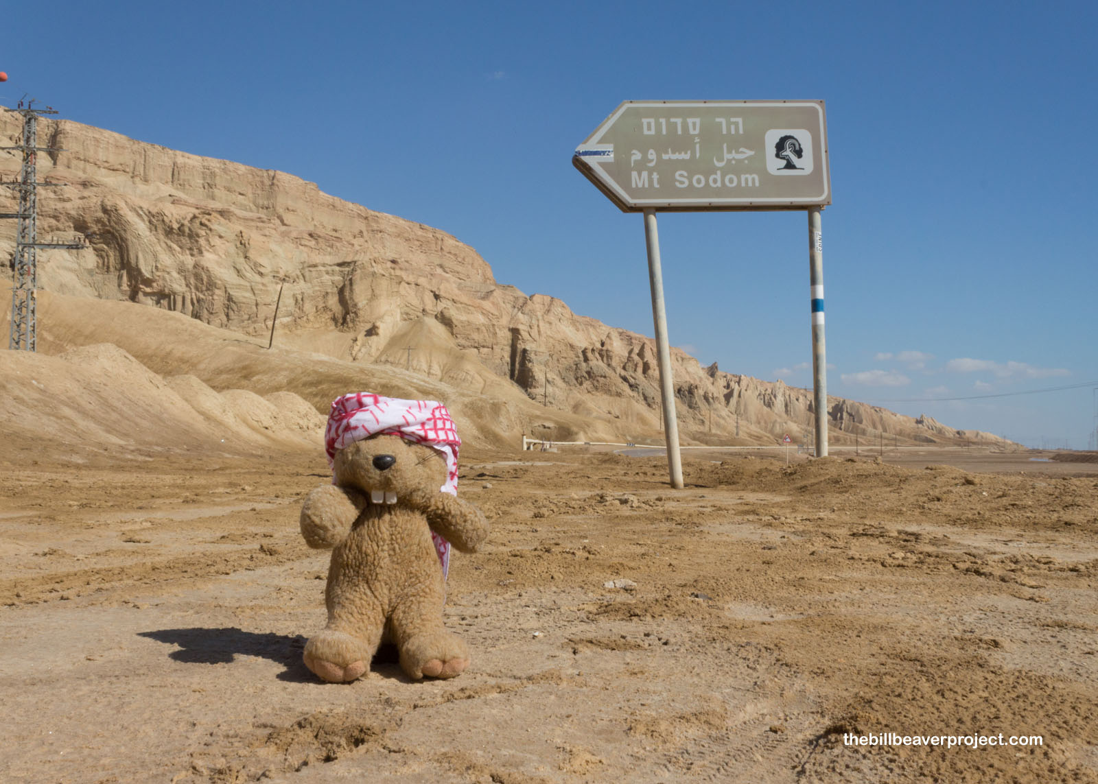
Speaking of hot days, this one was going to be! It was only about 8:00 AM, but I had one more hike I wanted to do in the Judean Desert before it got too hot! How hot, you ask? Hot enough to turn folks into salt pillars, which is what tradition says happened to Lot’s wife, when she looked back at the destruction of her hometown, where I’m headed next!
 |
 |
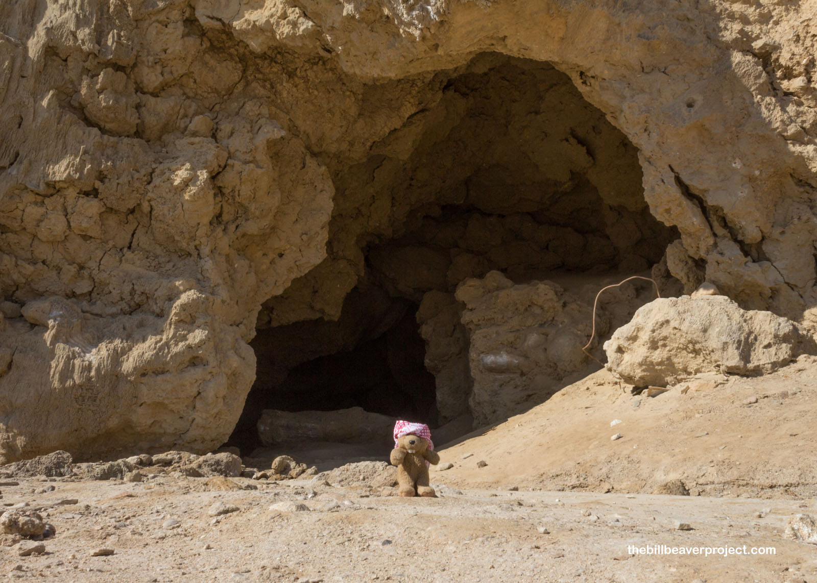
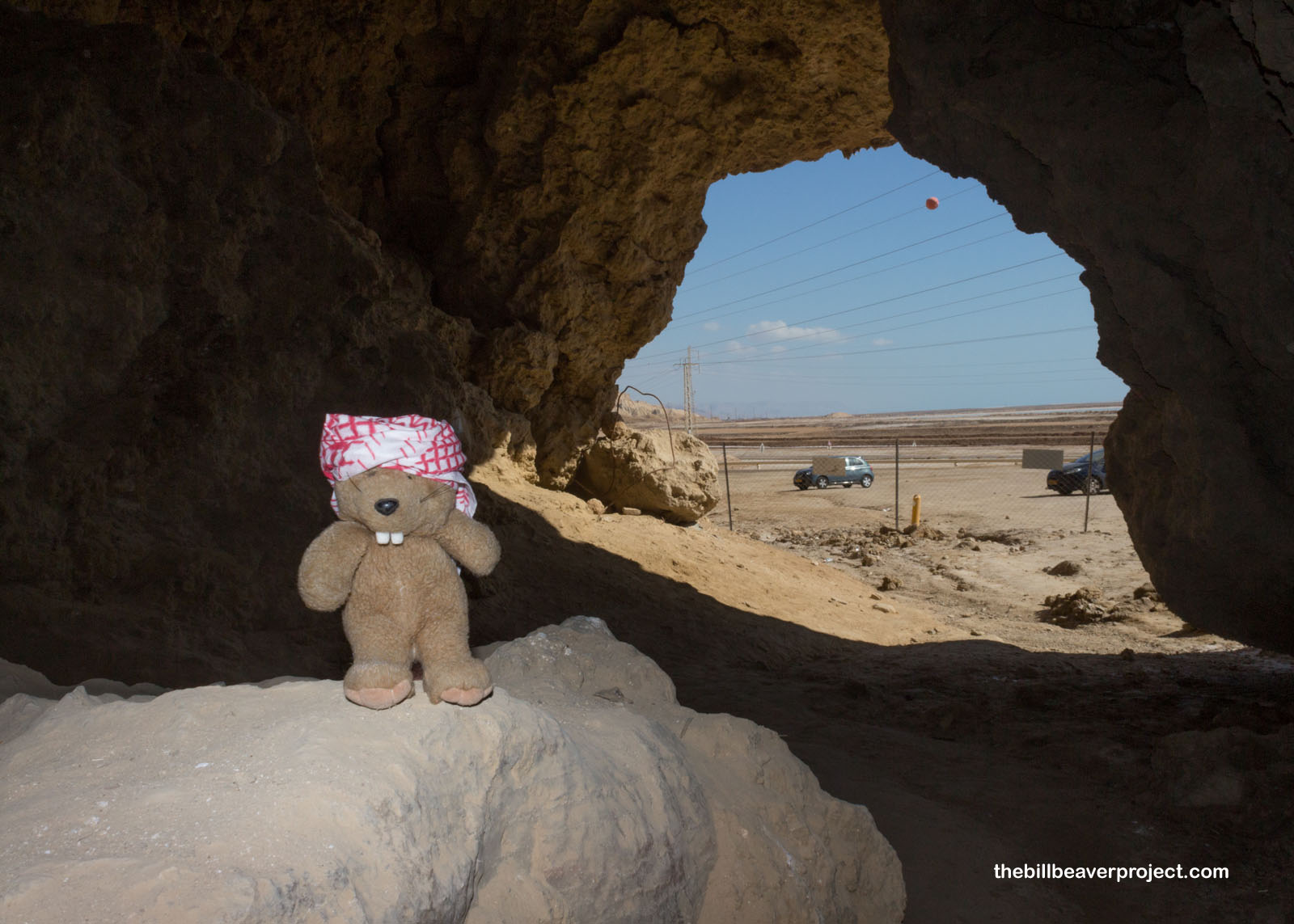
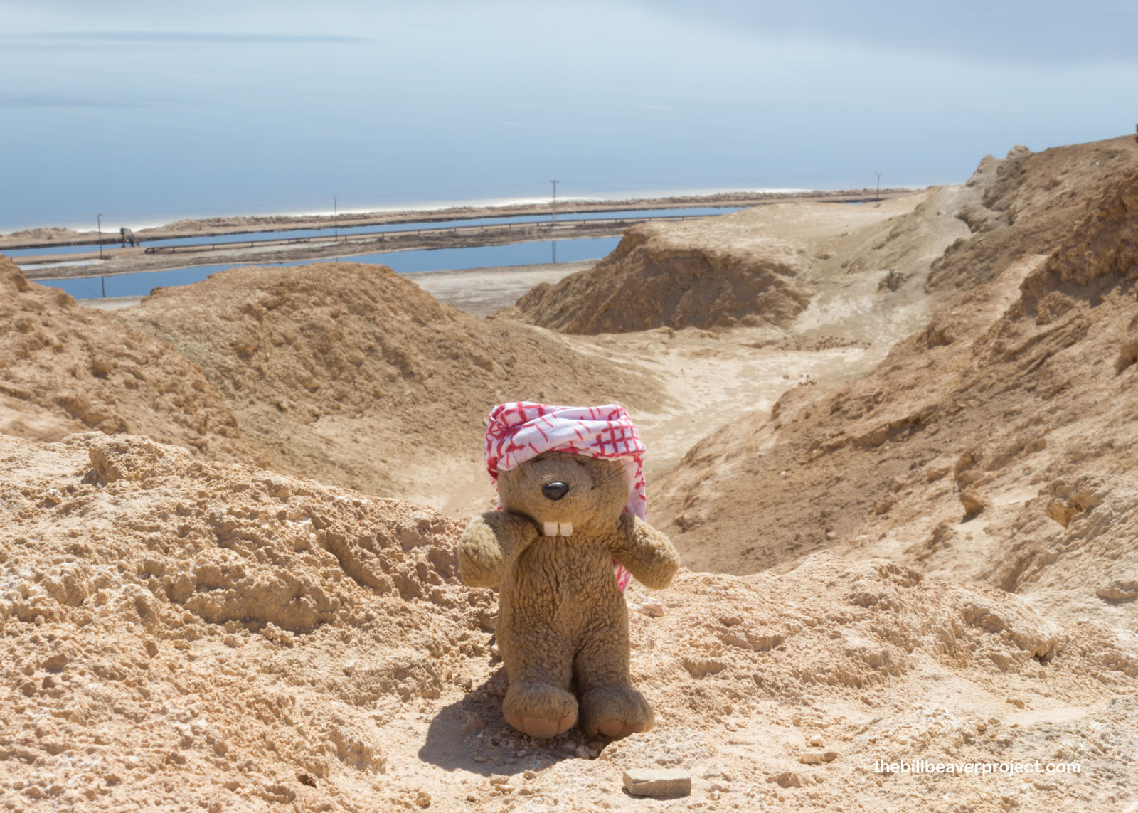
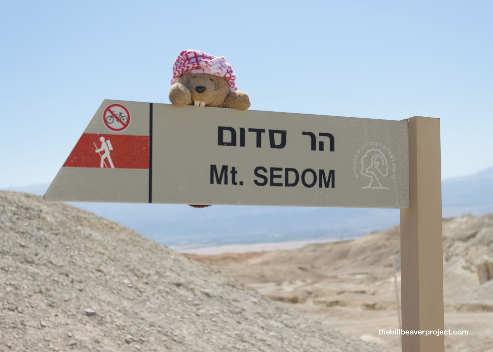
Mount Sodom is a huge range of salty mountains full of salty caves. I took a break inside one of them, because it was already getting toasty, but there wasn’t much to see. Somewhere in this range, though, is the Malcham Cave, the world’s longest salt cave, stretching 6.2 miles!
 |
 |
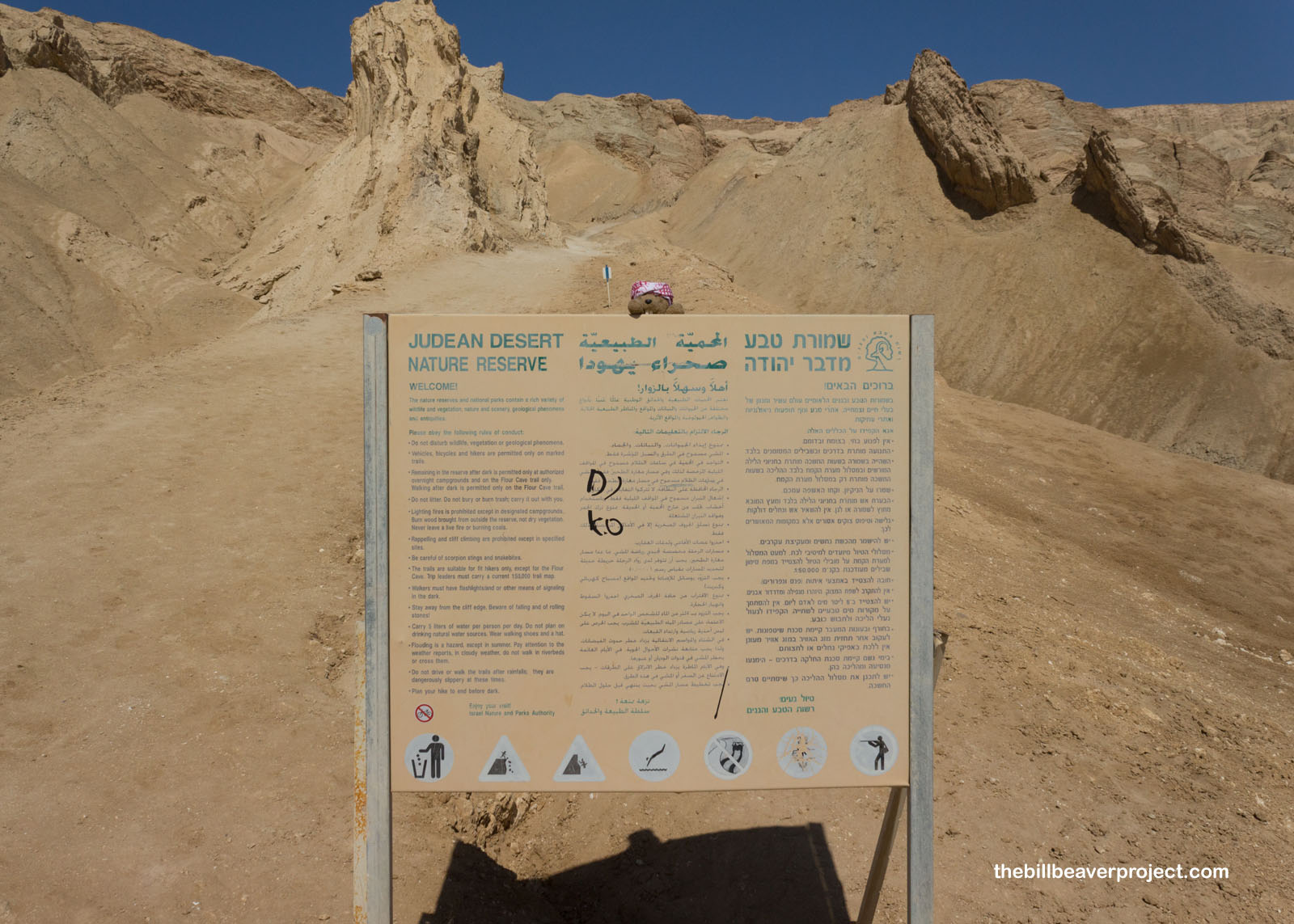
But I couldn’t hang in the shade too long. The sun was climbing high, and if I didn’t get moving on my hike of Mount Sodom, I’d probably turn into salt myself!
 |
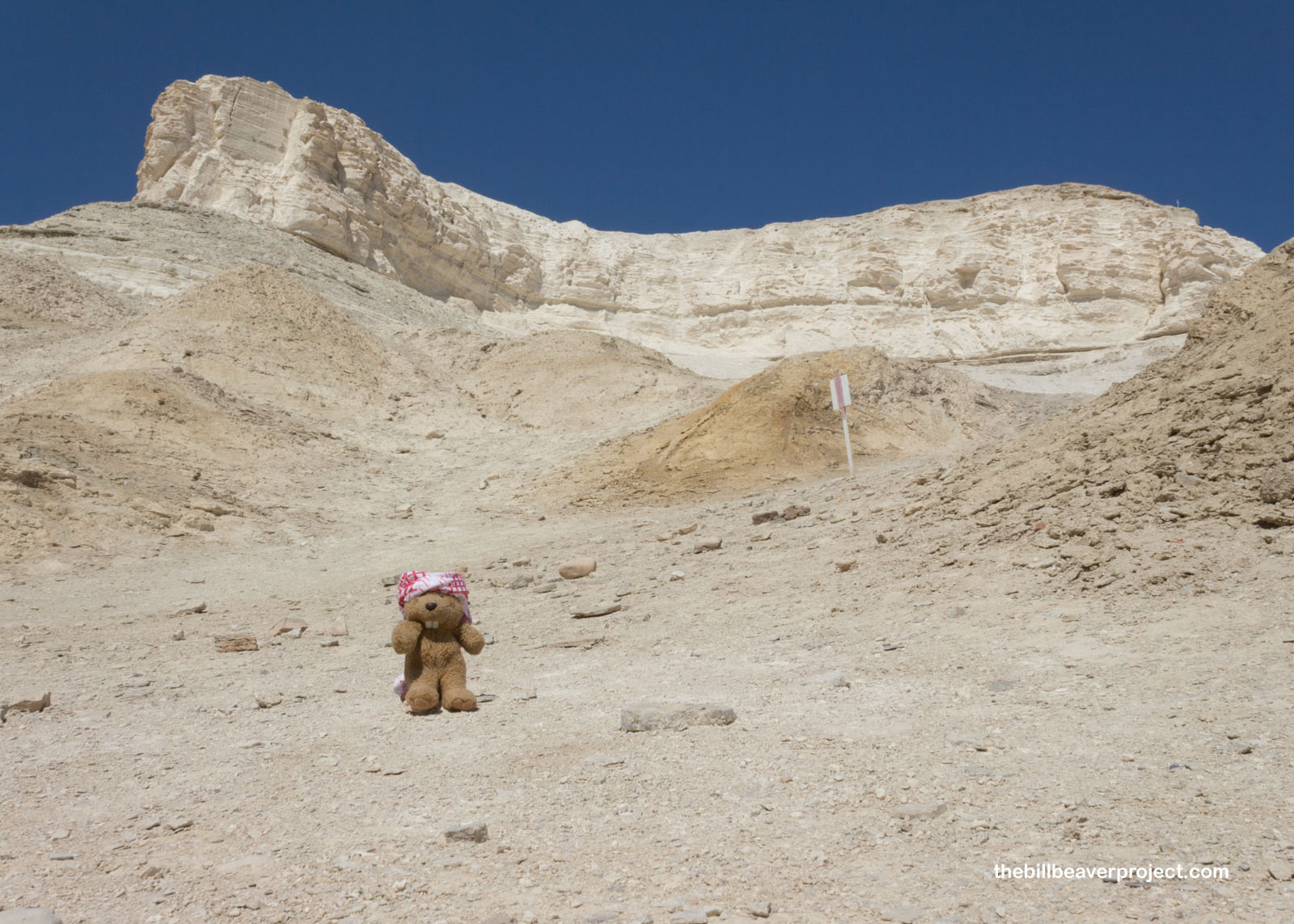
Here in the Judean Desert, the landscape is constantly changing. Mount Sodom, for instance, is about 742 feet high and growing about three and a half millimeters every year. For all that growth, though, the very top is still 557 feet below sea level!
 |
 |
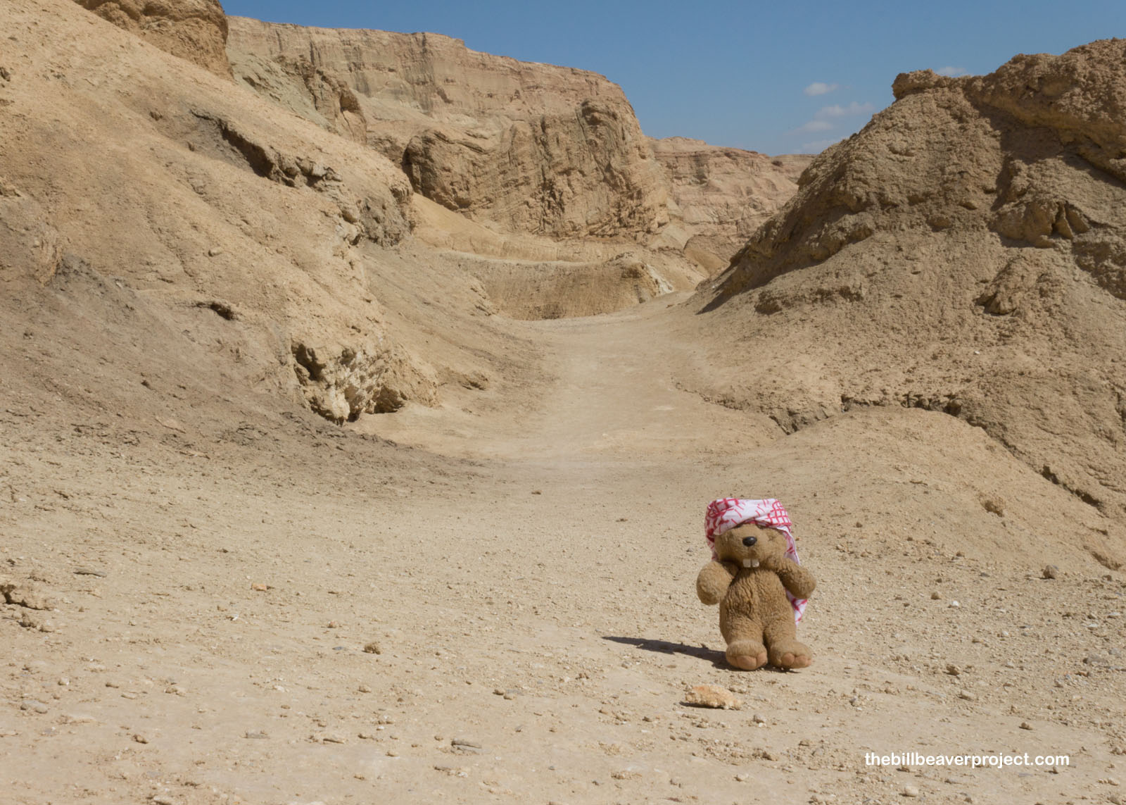
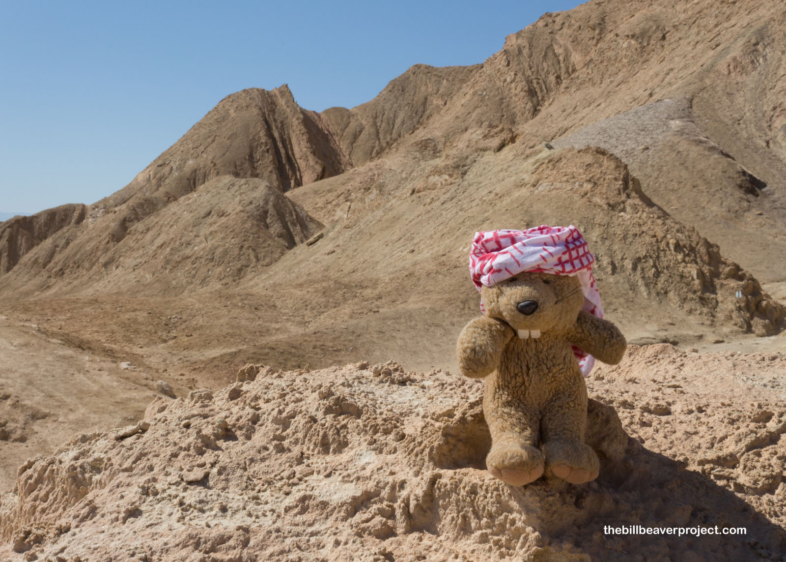
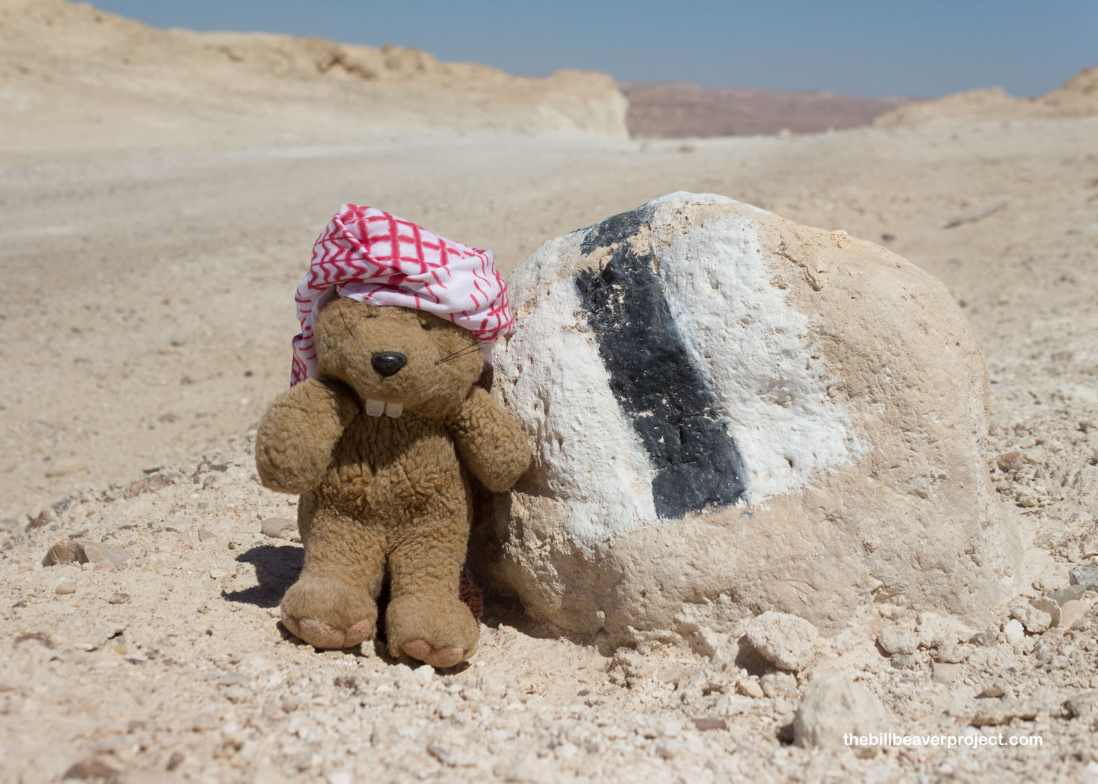
It was hard to find a solid trail map online, but the paths are pretty well marked with colored posts, taking me back to my adventures on the Bruce Trail and El Camino de Santiago de Compostela! This particular trail is known as the Fish Path because of the fish fossils (maybe Pseudoberyx?) that have been found here! This whole mountain range was once part of an ancient sea bed, which explains all the salt!
 |
 |
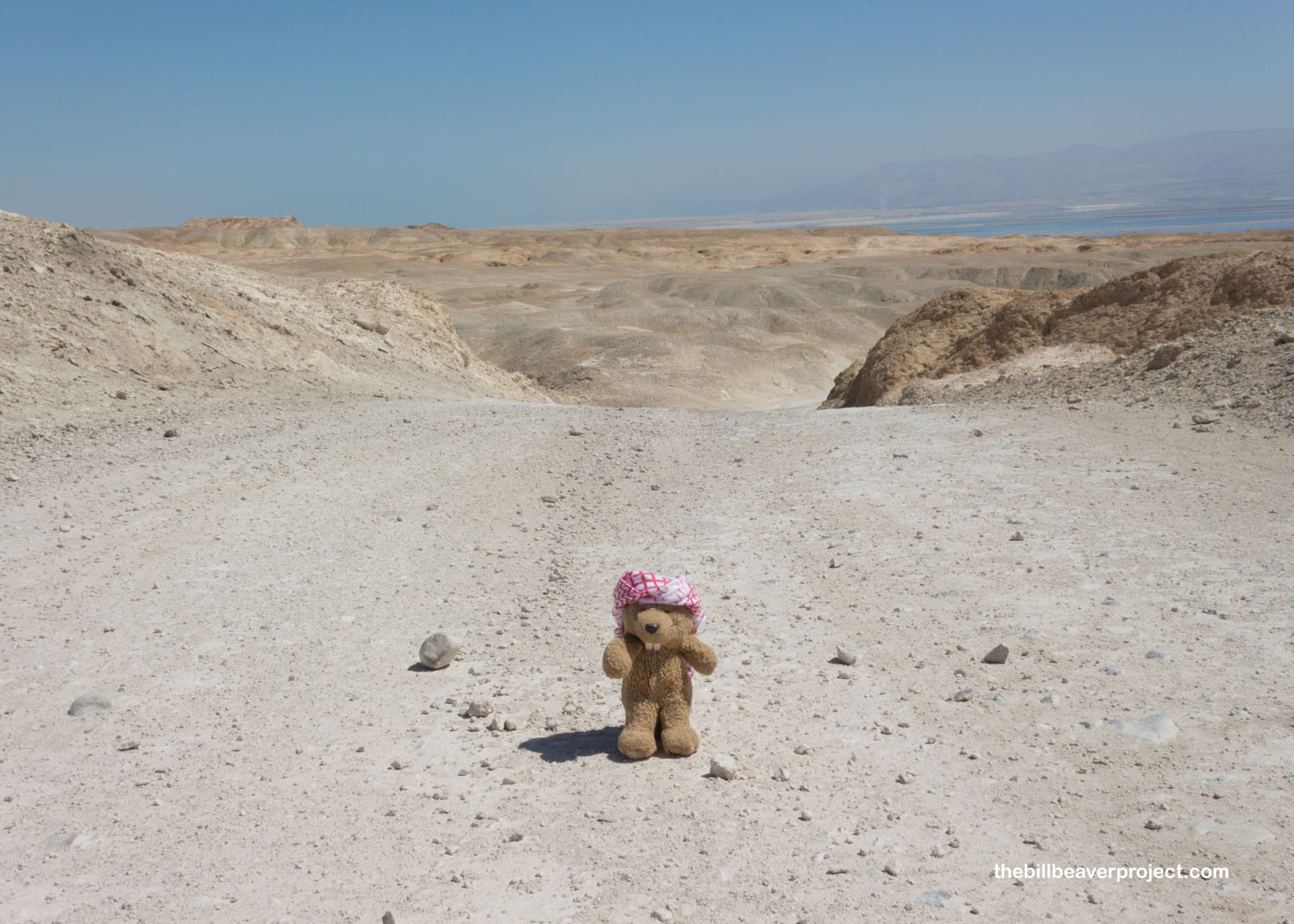
There sure is a parched feeling about this place, though. Though the trail isn’t tough by any means, it’s super exposed, sun baked, and dusty!
 |
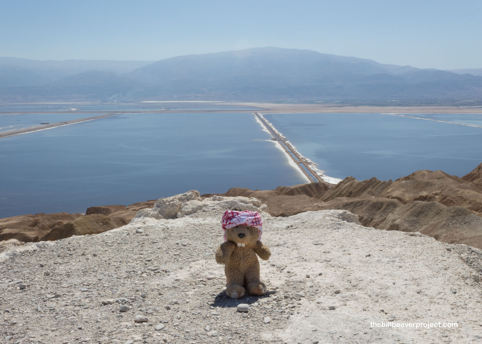
When I turned back, like Lot’s wife, I saw tantalizing views of the Dead Sea, water that was both far away and way too salty to drink. It was a good thing I brought water with me, because I would have been in trouble otherwise!
 |
 |
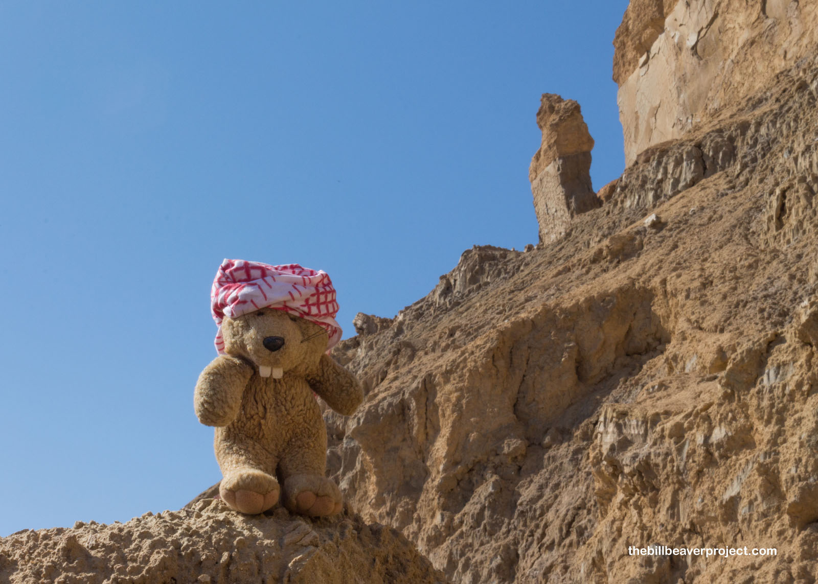
I wound my way through narrow canyons and along rocky outcroppings as the rocks turned from yellow to red and brown and became jagged, super apocalyptic looking!
 |
 |
That’s because Mount Sodom is the site of a myth that God rained fire down upon the cities of Sodom and Gomorrah for being cruel to two angels visiting in disguise! Though no archaeological evidence has been found of such an event, this place sure looks like it could have been hit by heavenly fire!
 |
The blue path turned off into a red path, leading up to one salty surprise: the peak of Mount Sodom is completely white with rock salt!
 |
I scrambled up to take in the sweeping views of the Dead Sea salt farms and the hills of Jordan to the east, and the rolling salt mountains of Israel to the west!
 |
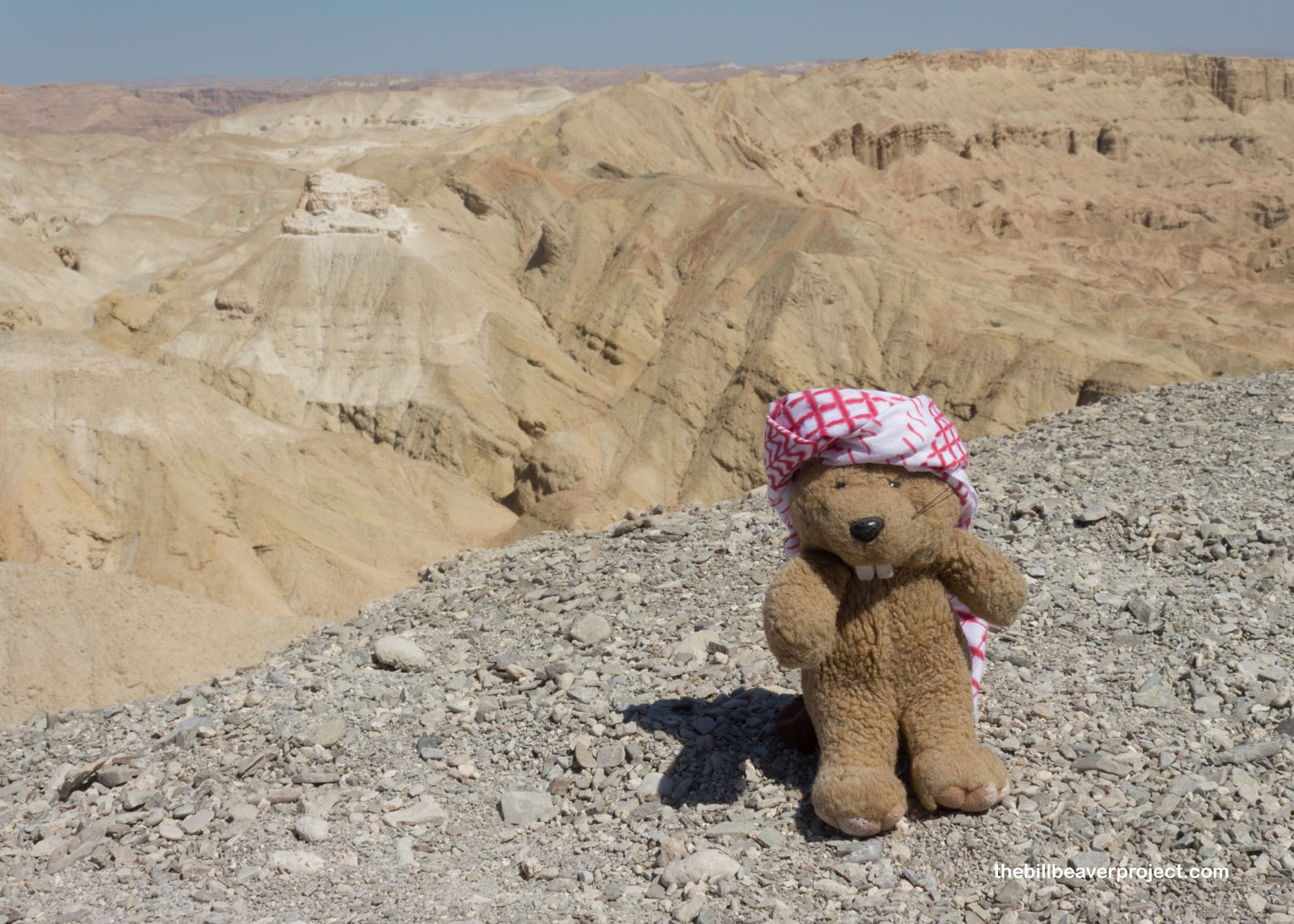 |
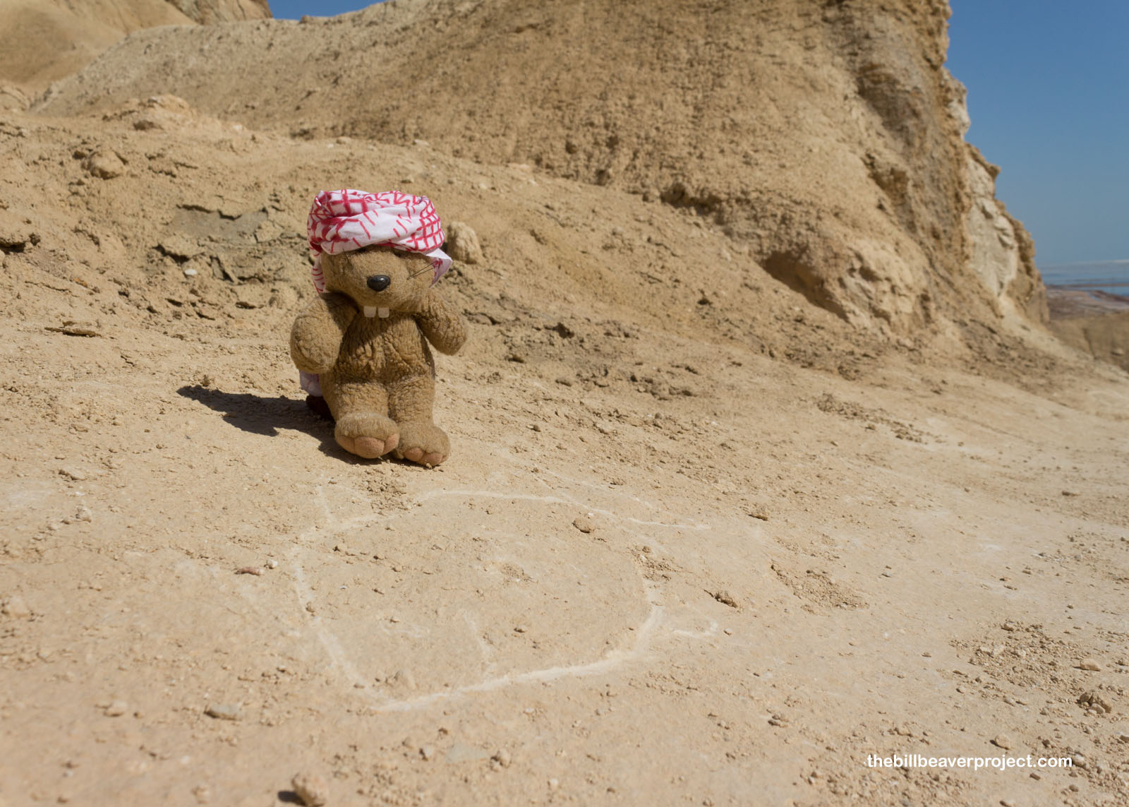
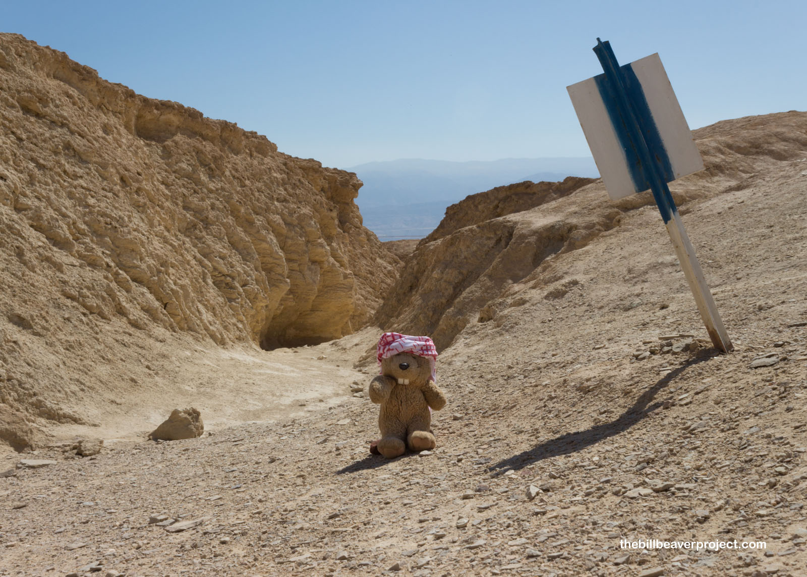
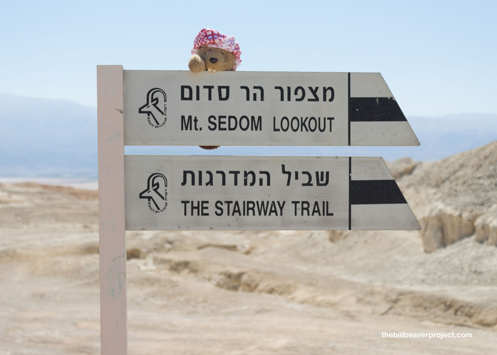
There wasn’t a summit marker here, so when I looked around and spotted a big pipe on a distant peak, I thought I’d check it out just to make sure. So I kept walking along the red trail to where it connected with the black trail. I’ve seen quite a few spellings of Mount Sodom along the way, which may be because the Hebrew language doesn’t really have written consonants!
 |
 |
I followed the black markings a little further up a bike path with no sightings of other visitors, really adding to the disastrous feel of the place.
 |
 |
At the top, I found the metal pipe, which advised me not to lose my spine. That didn’t seem like a summit marker!
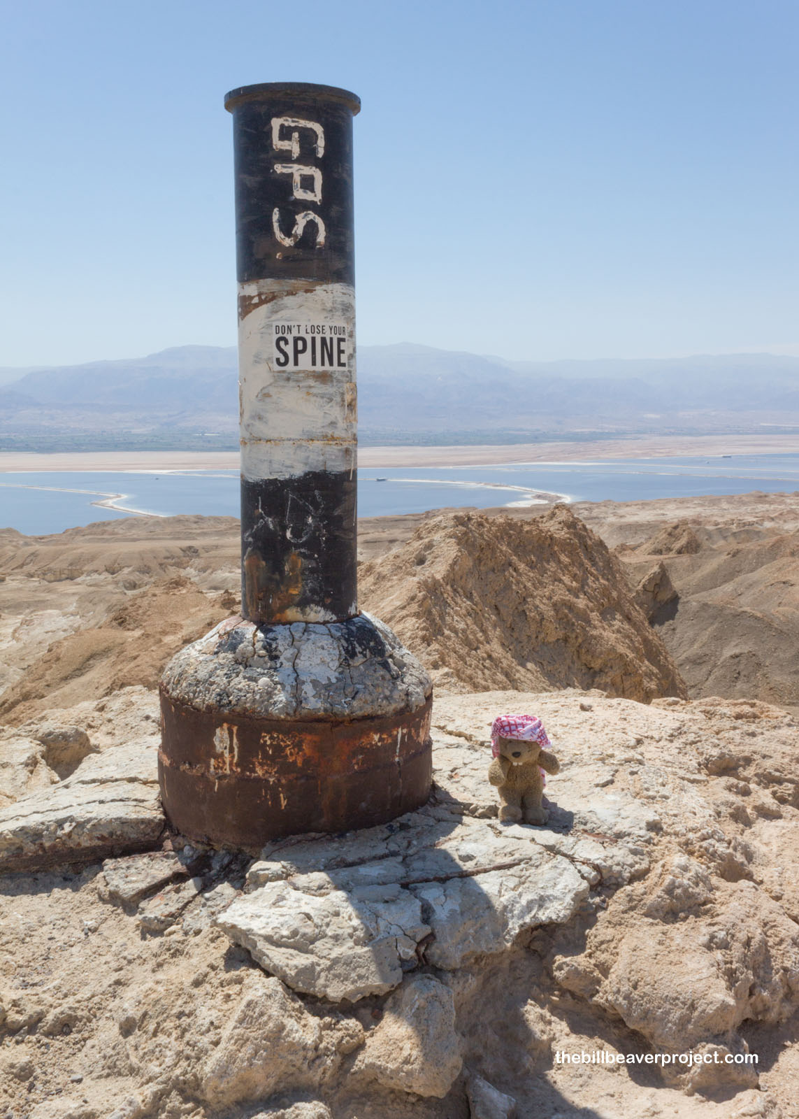 |
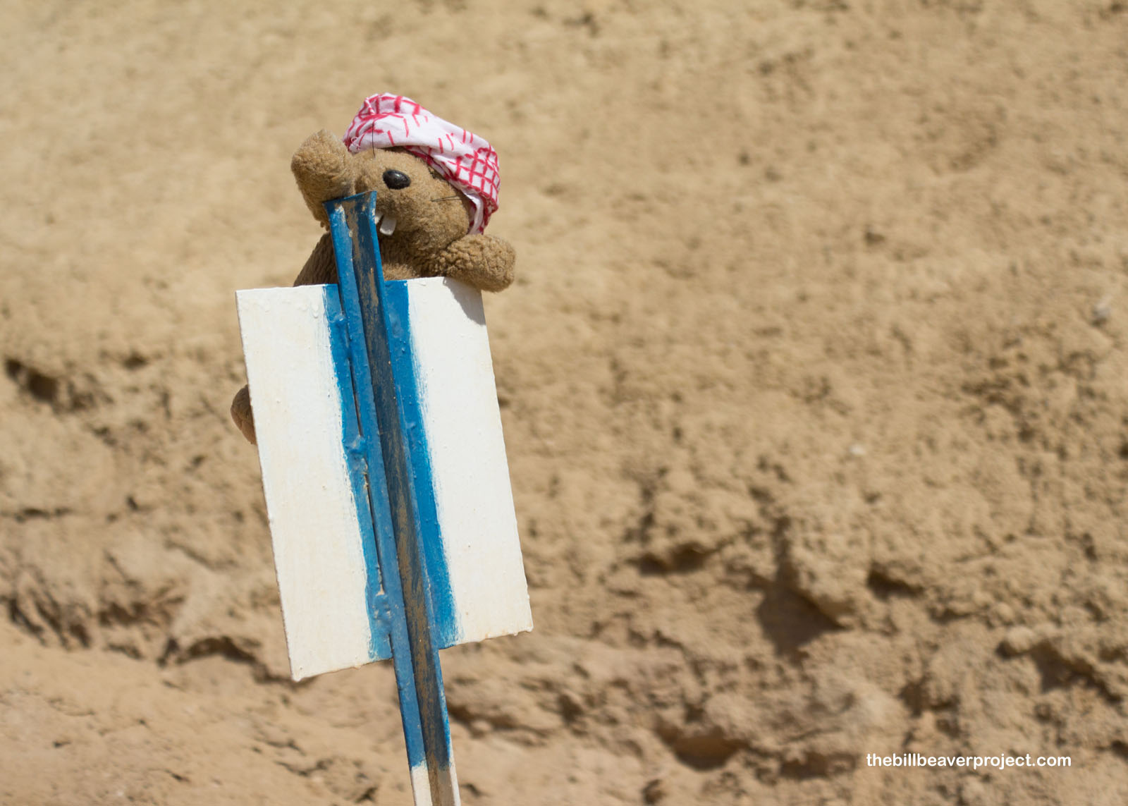
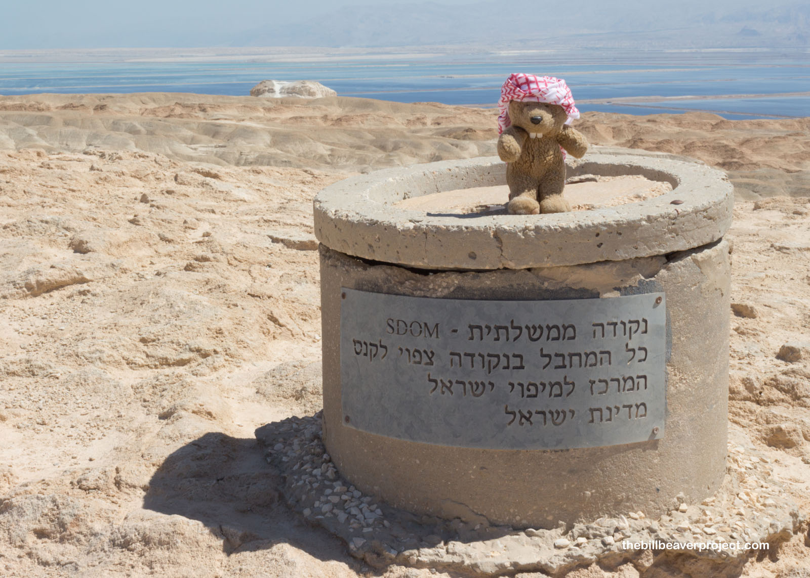
A little further, I found something that looks like an official marker of some kind, but alas, it was a warning that anyone caught vandalizing would pay a fine! I figured I must have reached the peak of Mount Sodom in some form or another, so I headed back down the trail to my next destination!
 |
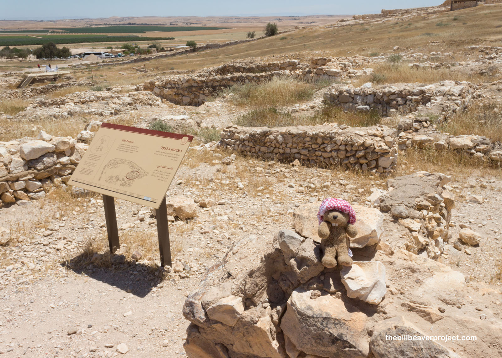
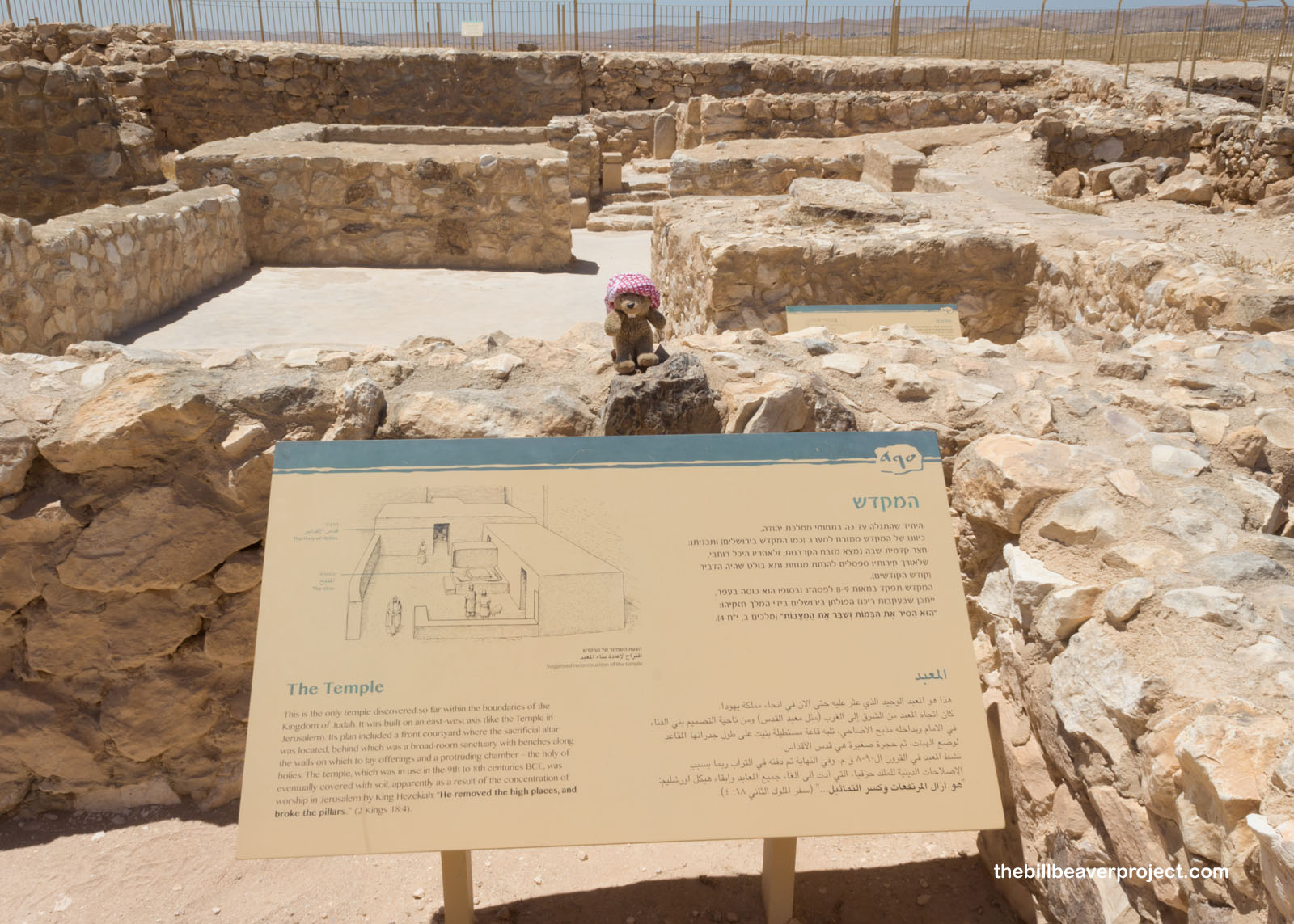
I happened to be reasonably close to Tel Arad National Park, so I swung by to learn what I could! The fellow at the gate set me up with an ice cream and an informative video to start my tour.
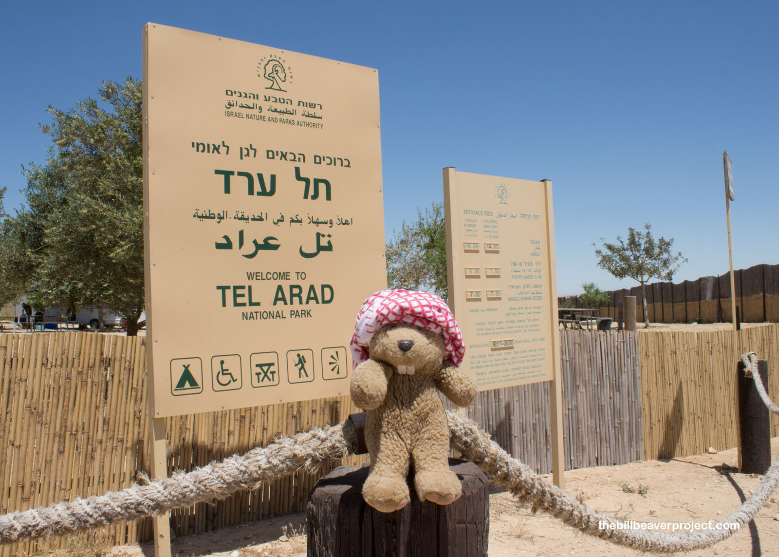 |
Like Tel Aviv and Tel es-Sultan, Tel Arad is a city built on older cities, dating back to the Early Bronze Age! It was an important link between nomadic life and urban life!
 |
The earliest evidence of civilization here dates to 4,000 BC with the arrival of the Canaanites taking place around 2,650 BC! The folks who lived here built in a specific style that’s come to be known as Arad House style, with steps leading from the street up into the house and benches built into the walls! Today, most of what we know about how they looked comes from a small model found in one of the excavations!
 |
A wall surrounding the city may have kept it safe, or it may also have been used in city planning!
 |
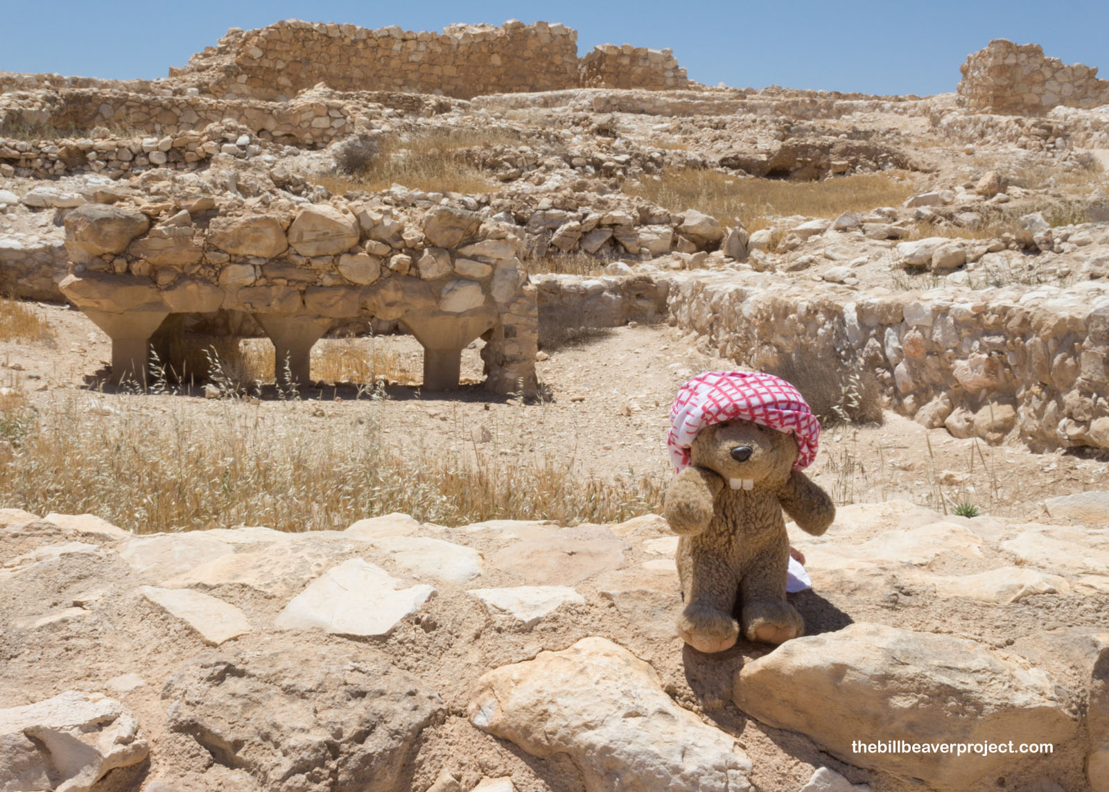
High above the city, a fortress, the sixth of six, stood watch! It not only contained a temple and water collecting facilities, but also some important pottery fragments called ostraca, which mostly recorded grocery style orders from a fellow named Elyashiv, but also name a number of Biblical family names like Meramot, Ezra, Pashkhur, and Jeremiah!
 |
 |
Along the slopes of the hill are the remains of smaller palatial buildings and water collection chambers, which collected runoff from uphill and stored it for later use!
 |
 |
The fortress at the top of the hill, while useful for keeping watch on the surrounding countryside, was mainly used as a place of worship. A temple, built here between the 9th and 8th centuries BC, is one of the only ones remaining from Biblical times!
 |
 |
At its heart was a Tabernacle, made up of three parts: the inner courtyard, the temple and the Holy of Holies. The altar inside was built of unchiseled stone, because it was forbidden to build altars from stone that had been cut by metal, an addition from the Iron Age! They must not have liked new technology back then either!
 |
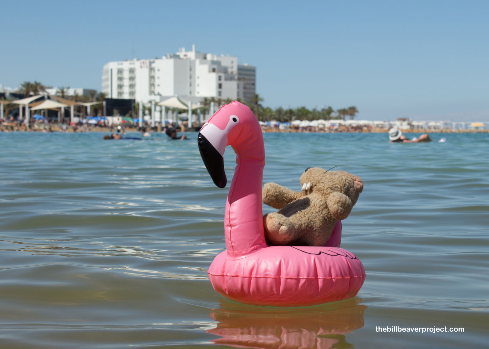
Feeling super hot and dry, I had to wrap up my trip with a dip in the Dead Sea, the lowest spot on Earth! At Ein Bokek, I headed down to the beach, where I was astonished by how easy it was to float here! It is actually impossible to sink in the Dead Sea, because the salt content makes the water denser than bodies! So it’s easy to get lost in a drift. Luckily, the current and waves were pretty calm!
 |
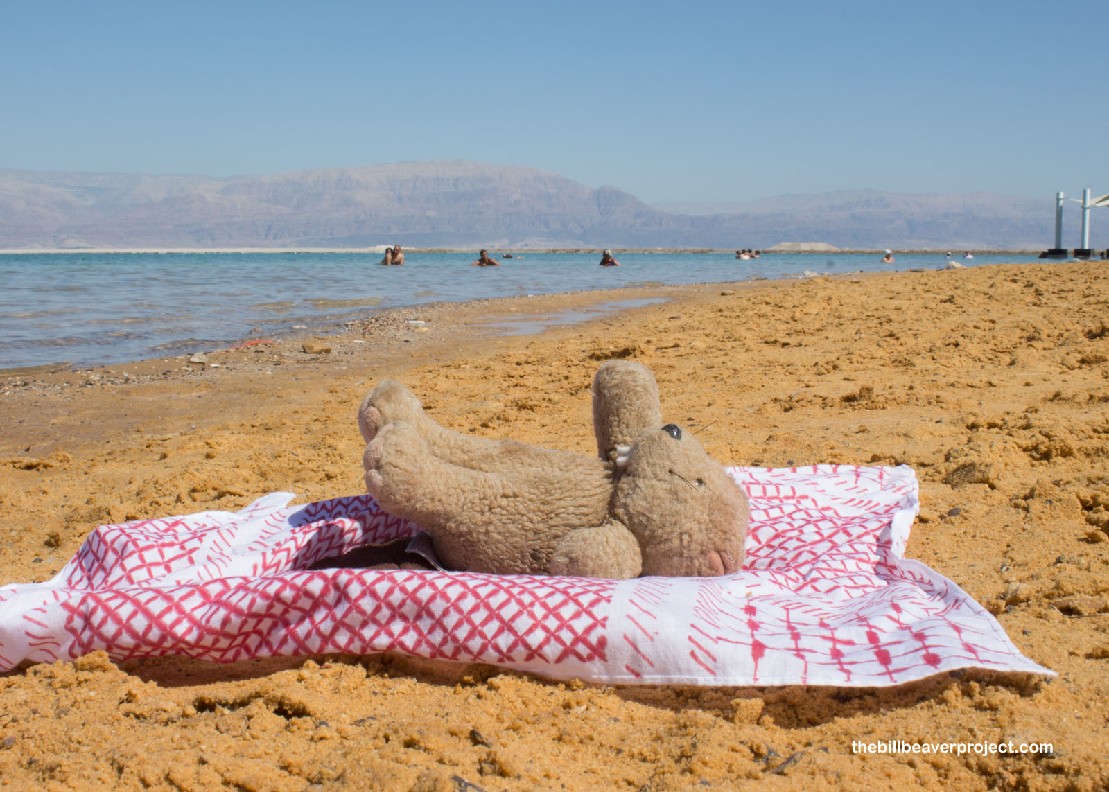
I relaxed for a bit on the beach to try off. Like the Sea, I’m feeling a bit dead after all of my tramping through the desert! Even though Israel is such a tiny country, it’s jam-packed with history, whose surface I’ve only just scratched! But we only get so much time for adventures, and a return flight was calling.
 |
My phone short-circuited, which left me to navigate to Tel Aviv by road sign. After some confusion with a taxi driver over cash versus credit, and a whole bunch of bank ATMs closed for Shabbat, I settled in for four hours of sleep at the Residence 26 Apartments, which were so nice, it was a crime I couldn’t stay longer! In any case, the next morning, I was back on a plane back home and ready to plan another adventure!
L’hitraot!

Previous Day |
Total Ground Covered: 839.0 mi (1,350.3 km) |
More 2019 Adventures |