 |
| Landmark #39-18 | Cuyahoga County | Visited: August 31, 2019 | Plaque? YES! 🙂 |
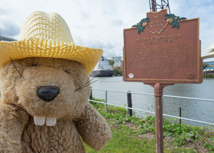
| What is it? | A plaque in the side of the Cuyahoga River! |
| What makes it historical? | THE SIGN SAYS: In July 1796, the first survey party for the Connecticut Land Company, led by General Moses Cleaveland (1754-1806), landed on the shore of Lake Erie near present-day Ashtabula to lay out the lands of the Connecticut Western Reserve. On July 22, the party arrived at the mouth of the Cuyahoga River, the western boundary line for American settlement established by the Treaty of Greenville, and set up a base camp near this site. On the eastern river bluff the surveyors platted the “capital town” of the Western Reserve and called it Cleaveland; a misspelling later changed the name to Cleveland. The original survey called for a Public Square, surrounded by right-angled streets and uniformly-shaped lots. Cleaveland returned to Connecticut in October to resume his law practice and never returned to Ohio.
OTHER TIDBITS: After the American Revolution, a whole bunch of land opened up west of the original 13 states, and several of those states jumped in to claim land! One was the tiny state of Connecticut, which claimed a big chunk of the new Northwest Territory. Though they gave up most of their holdings at the federal government’s request, the privately owned Connecticut Land Company held on to three million acres in the northeast corner of the territory. Moses Cleaveland, a brigadier general in George Washington’s Connecticut Militia, was a primary investor in this company and led the expedition to sort out theirnew land holdings! His party laid out a town for 50 men and two women on the banks of the Cuyahoga River. It was a tough survey, and after they finished Round 1 in the fall, Mr. Cleaveland did not return for Round 2 in the spring. |
| How can I Help the Helpers? | HERE’S HOW:
|
| How do I find it? | Listed Directions: Settlers Landing Park Superior Ave & Robert Lockwood Jr Dr Cleveland, OH 44113 Annotations: From Cincinnati: ~250mi (403km) — 4.2hrs |
| When should I go? | Whenever the mood strikes you! |
.jpg” />