 Previous Day |
Grand Junction, CO → Montrose, CO → Grand Junction, CO 145.0 mi (233.4 km) |
 Next Day |
Good afternoon, everyone!
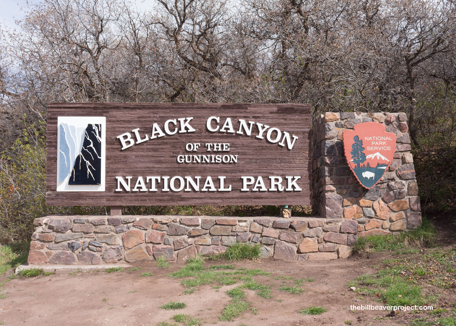
I know that most national park facilities are still closed during the COVID-19 pandemic, but some of them still offer limited access. Even though I really wanted to get a passport stamp at Black Canyon of the Gunnison National Park, I was going to have to forfeit it while I was in the area. After all, I have lots of goals!
 |
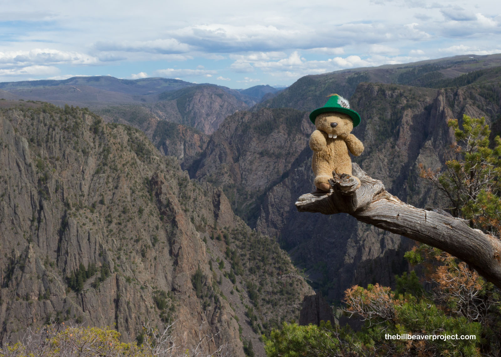
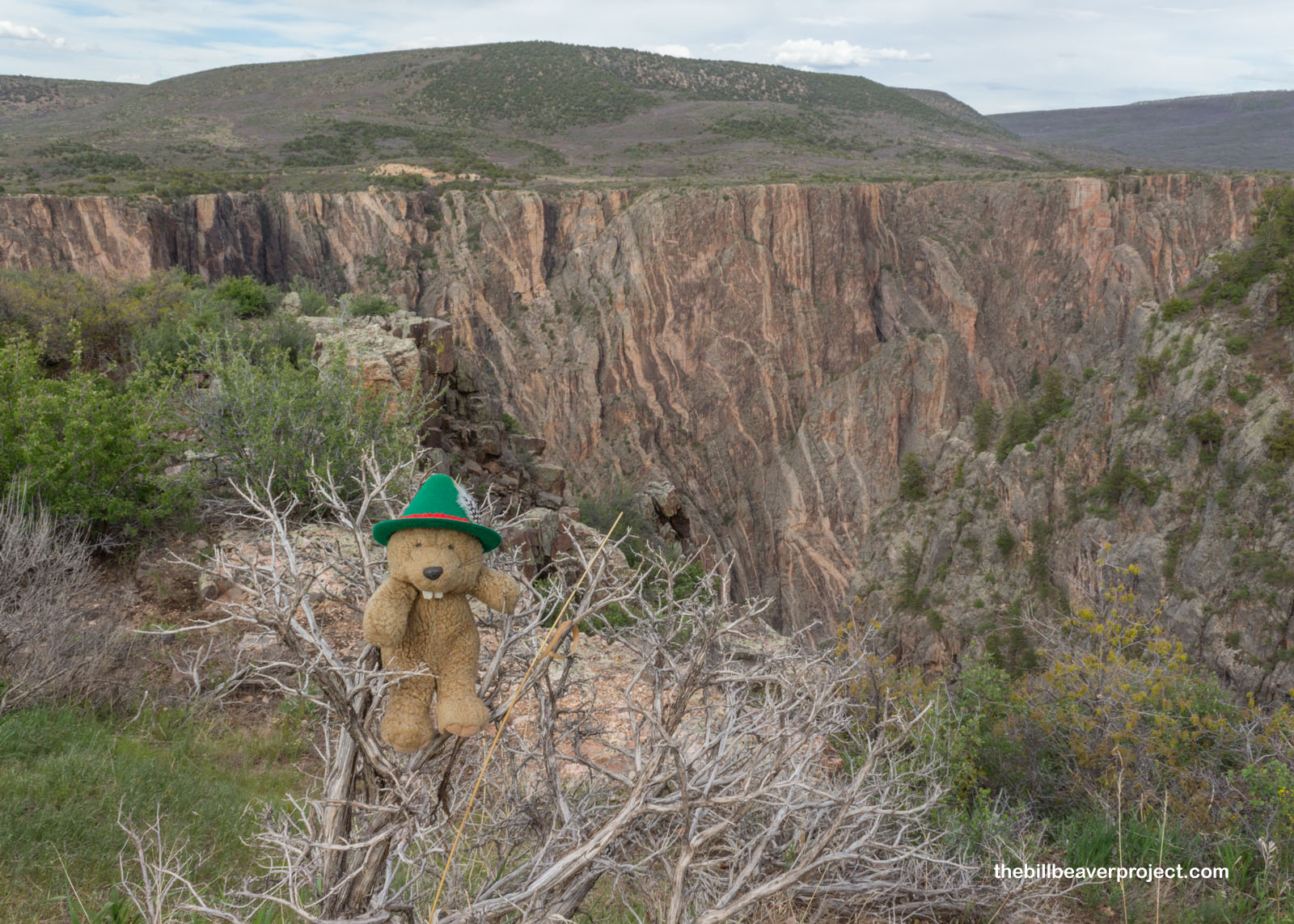
Even before the visitor center, Tomichi Point offered a spectacular first look at the black canyon, colored by a metamorphic rock called gneiss and the way the deep canyon blocks out light! Here, I was able to lay out my plan. The South Rim Drive is still closed to cars, and the trails are all still closed for hiking. So, my plan to experience this park as much as possible was to trek down the road as far as I could before sunset and see what I could see!
 |
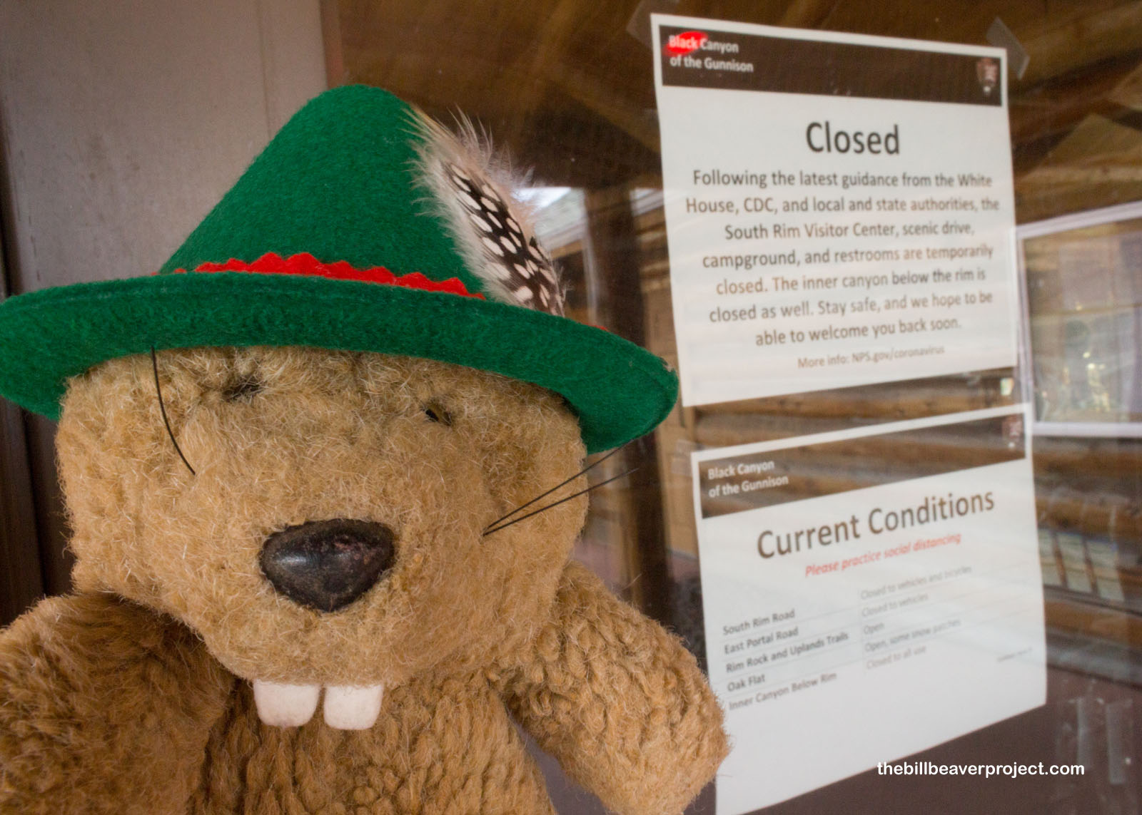
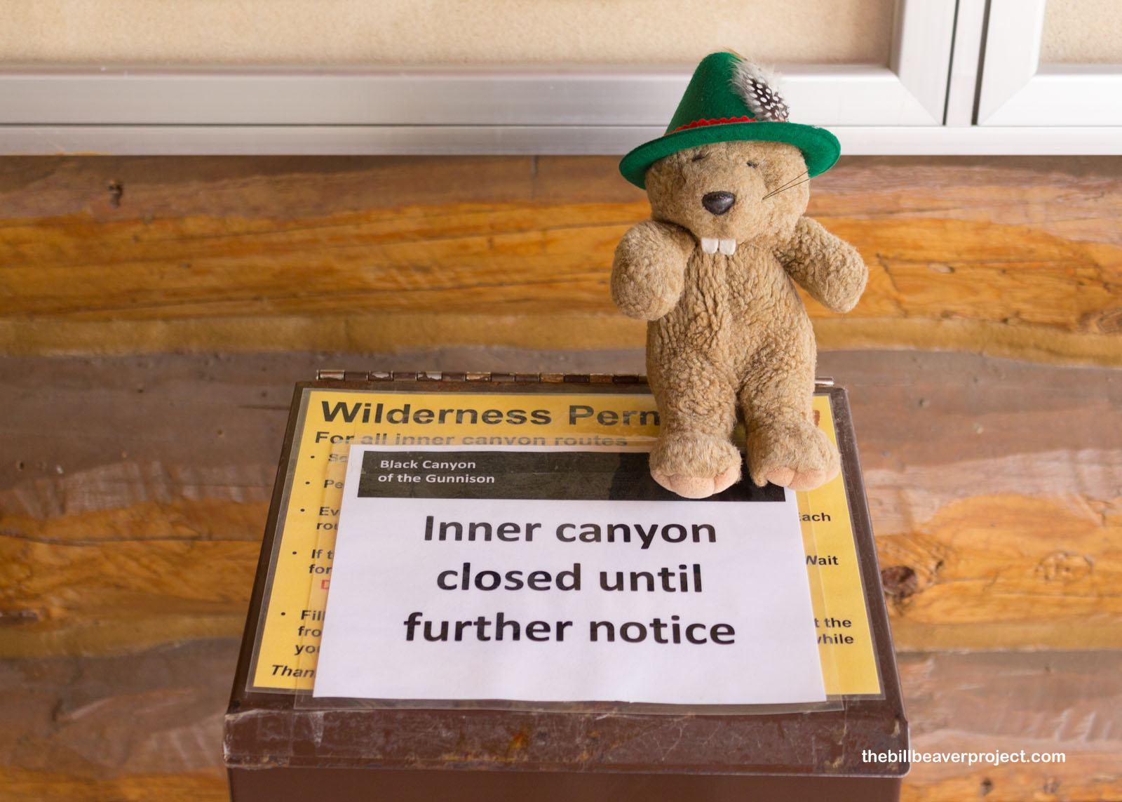
I started off at the visitor center, which spelled out its closures through signs. Montrose County only has 128 confirmed cases of COVID-19. Meanwhile, since yesterday, Los Angeles County has jumped from 31,703 to 33,180 cases! Though my time here is brief, numbers like those really make me want to maximize it!
 |
 |
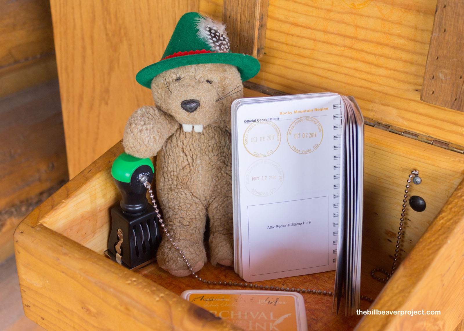
One piece of good news: Black Canyon of the Gunnison has an outdoor passport box! That’s right, I was able to get my passport stamped, even though the visitor center was closed! That’s so nice of them! This put me in a great mood to continue my adventure.
 |
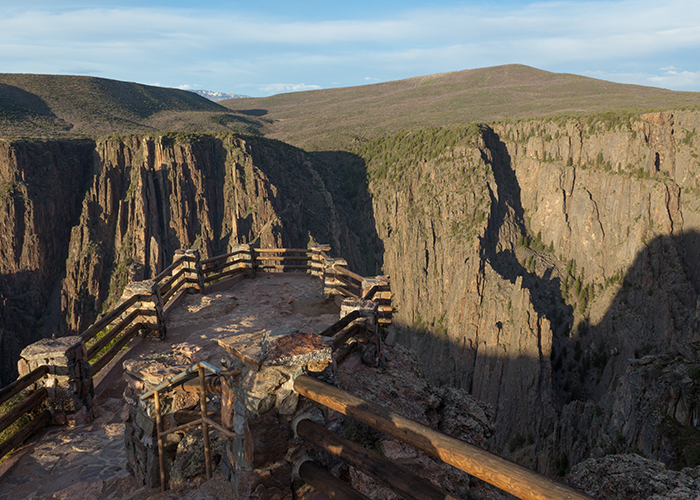
It was super strange, though, to be the only one here. Normally, I imagine this overlook at Gunnison Point would be full of selfie-takers and families posing for Christmas cards, but today, it was just me and the wind.
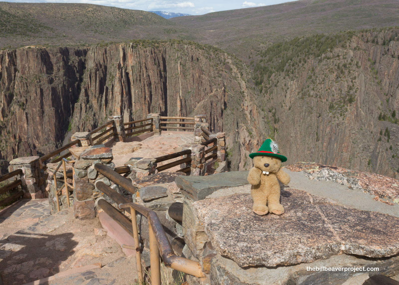 |
And oh, the wind! It was super squirrelly! One moment, it was calm and quiet, and the next, the trees would be whipping and I’d be hunkering down between rocks, holding onto my hat! When you’re on top of 2,722-foot cliffs, one miscalculation could spell certain doom!
 |
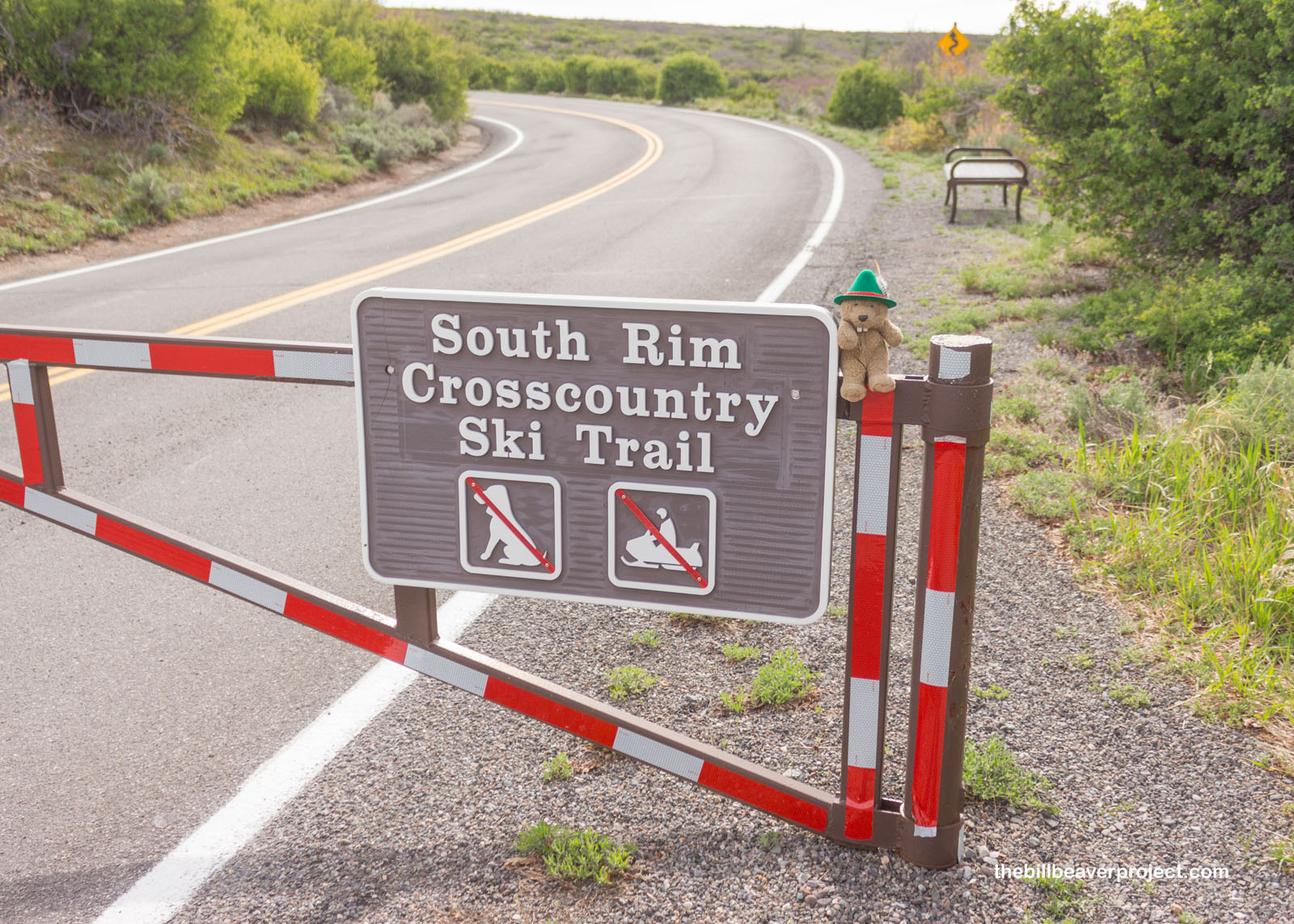
Nonetheless, I set off down the South Rim Road. Unlike Craters of the Moon, where there were glimpses of other visitors, past this gate, there was no one at all! It was peaceful, for sure, but also super duper eerie! For instance, the trees on both sides of the road could have been hiding any number of things that might want a beaver for dinner! With no phone reception, I would have been easy pickings!
 |
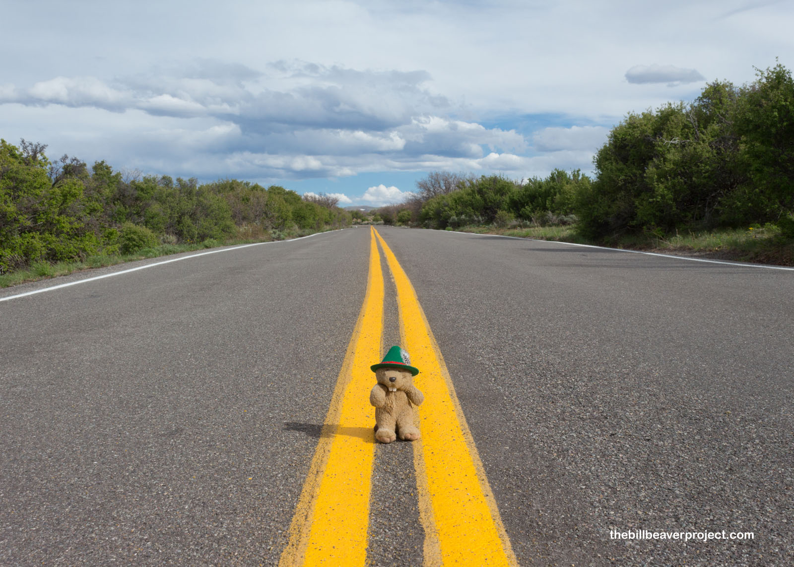 |
In exchange, since I wasn’t bound to any rules of the road, I got to stop and enjoy some viewpoints of the canyon that would have otherwise been inaccessible! The wind was still whipping though, and I had to hold on tight to whatever I could find!
 |
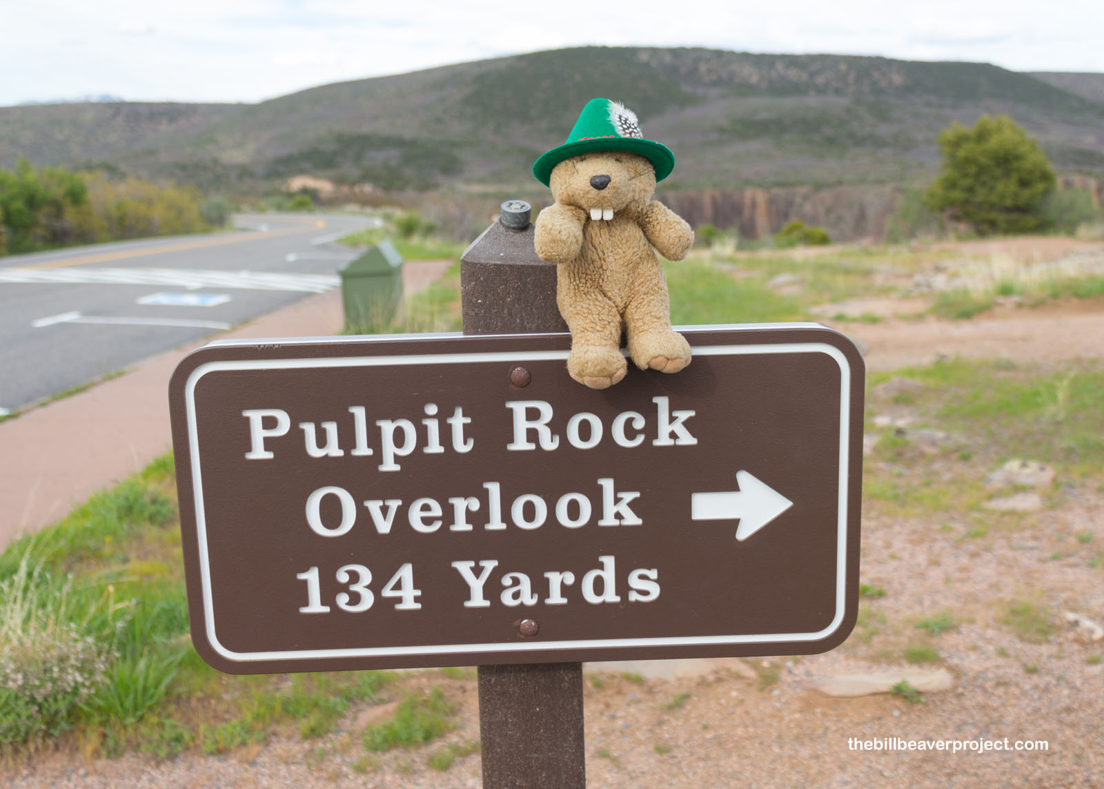
I stopped at Pulpit Rock Overlook, the first regularly scheduled viewpoint! Pulpit Rock is a huge formation in the shape of a church pulpit! It’s made out of pegmatite, a lighter-colored igneous rock that’s much more resistant to erosion than gneiss! The force of the Gunnison River against these different types of rock has left huge fin-shaped dikes like these all up and down the canyon!
 |
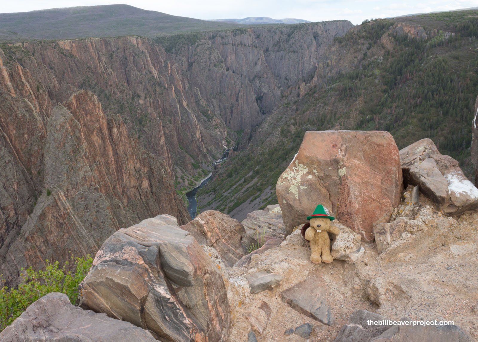 |
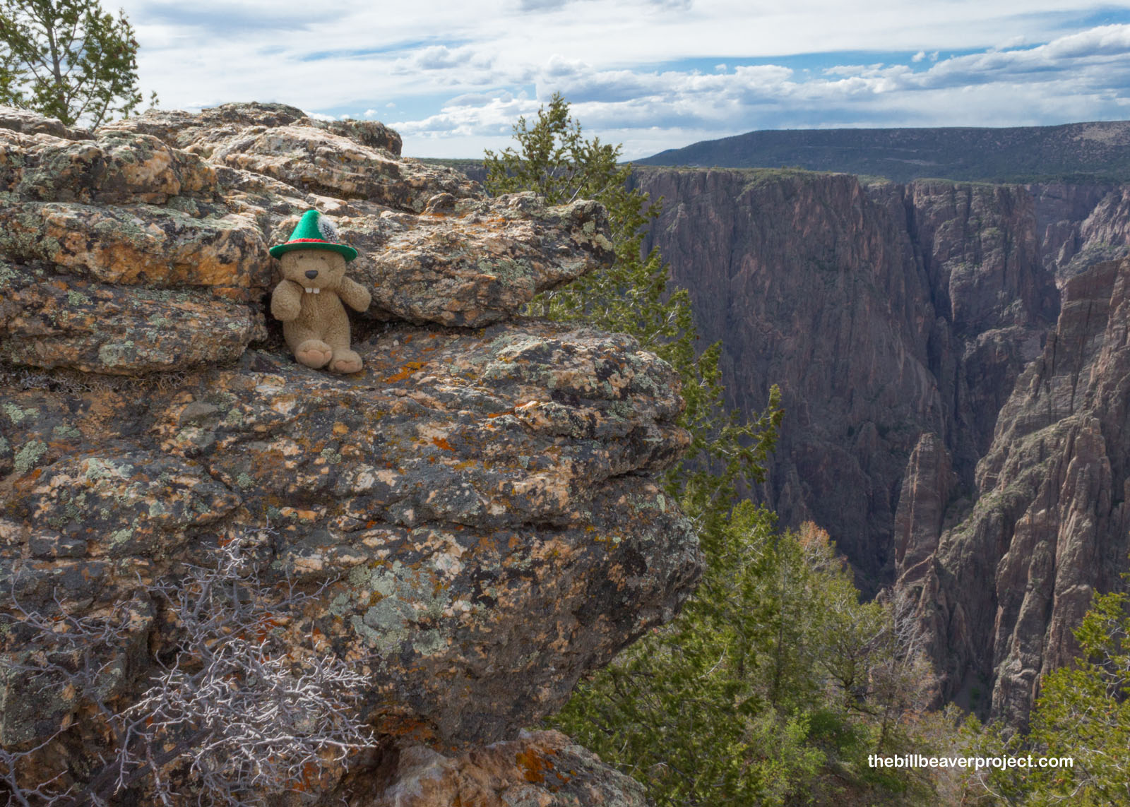
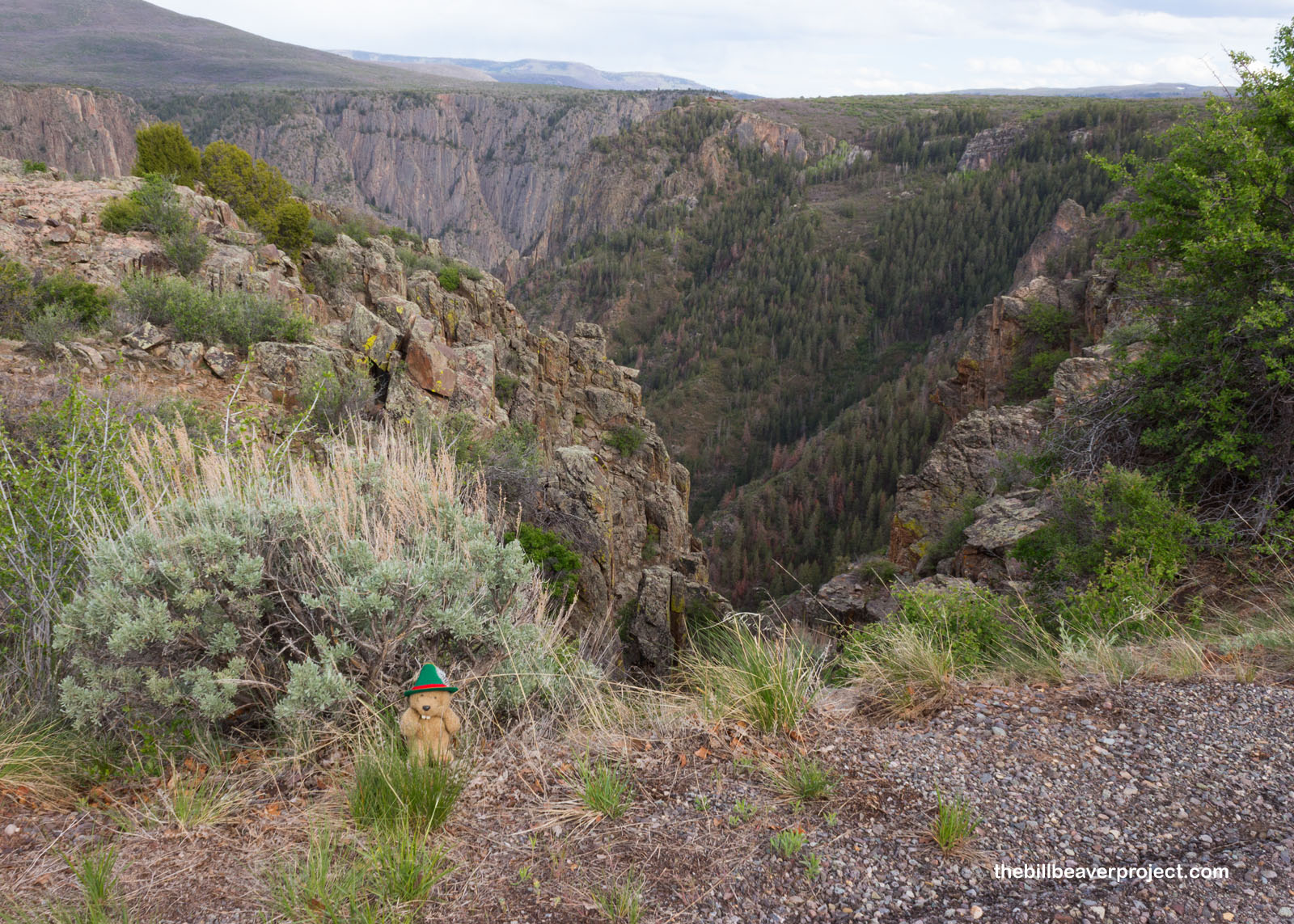
I could really see the contrast between the pegmatite and the gneiss as I walked to the next stop. Just look at those light bands against the dark rock! There were clouds moving in, but that didn’t take away from the wonderful colors!
 |
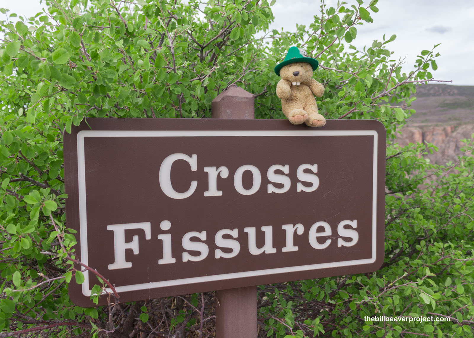
Next up, I stopped to see the Cross Fissures. Unlike Pulpit Rock, which resembled a church fixture, these crosses were more of the criss variety!
 |
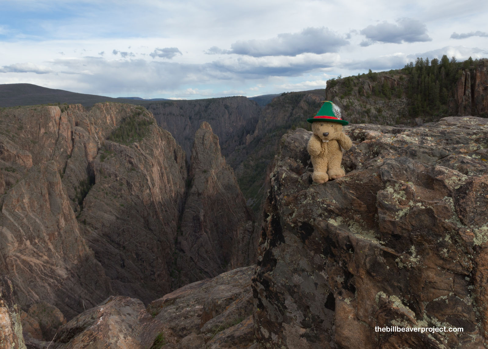
Here, the view was spectacular as the sun pushed its way through the clouds to give the rocks one last bit of evening contrast! It was beautiful to behold, but not long to last! The mighty wind had given me a break for long enough, and while it had been gusty before, it became constant before I could even get to the next stop of Rock Point. That, and the oncoming evening, were going to cut this trip short.
 |
So, I turned back much earlier than I’d hoped—only about 2.6 miles in—but walking back alone in the dark with no reception and the possibility of mountain lions didn’t seem like a very good idea to me. Maybe I’ll come back here one day when everything’s open, just for the contrast. I wonder how long it will take before things normalize like that again.
Off to mosey through Montrosey!

Previous Day |
Total Ground Covered: 1,871.2 mi (3,011.5 km) |
Next Day |