 More 2021 Adventures |
Alexandria, VA → Fredericksburg, VA 69.7 mi (112.2 km) |
 Next Day |
I’m putting the VA in “VAccine,” everyone!
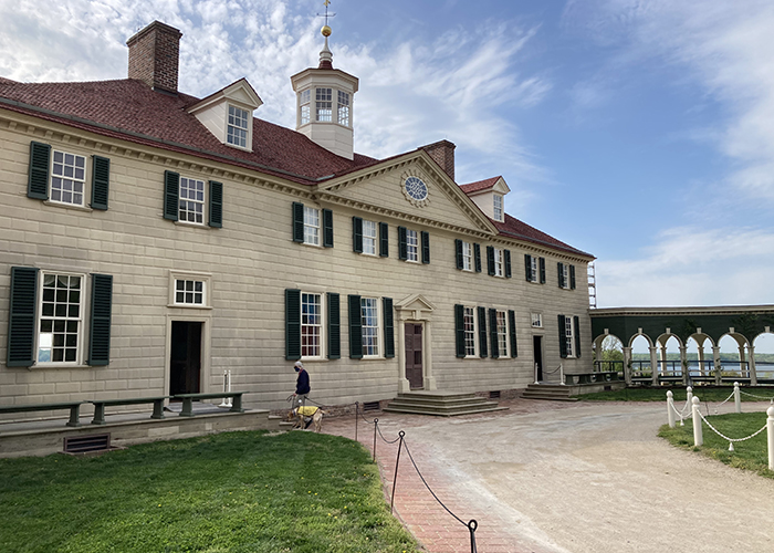
Inoculations for the novel coronavirus have started rolling out, so after waiting out a major surge (over 50,000 cases per day in Los Angeles County), I was back on a plane to Washington, DC with a goal to see 12 national park sites in Virginia! Yesterday, I wandered around to visit Constitution Gardens and the Dwight D. Eisenhower Memorial, but this morning, I’m en route to George Washington’s famous estate, Mount Vernon!
Originally called Little Hunting Creek Plantation when owned by Augustine Washington, once George’s half brother, Lawrence, inherited the estate in 1743, he changed the name to Mount Vernon in honor of his former military commander, British Admiral Edward Vernon! Today, there are 33 other places in the United States named Mount Vernon after this specific estate, which George inherited in 1761 after a series of tragic family deaths.
 |
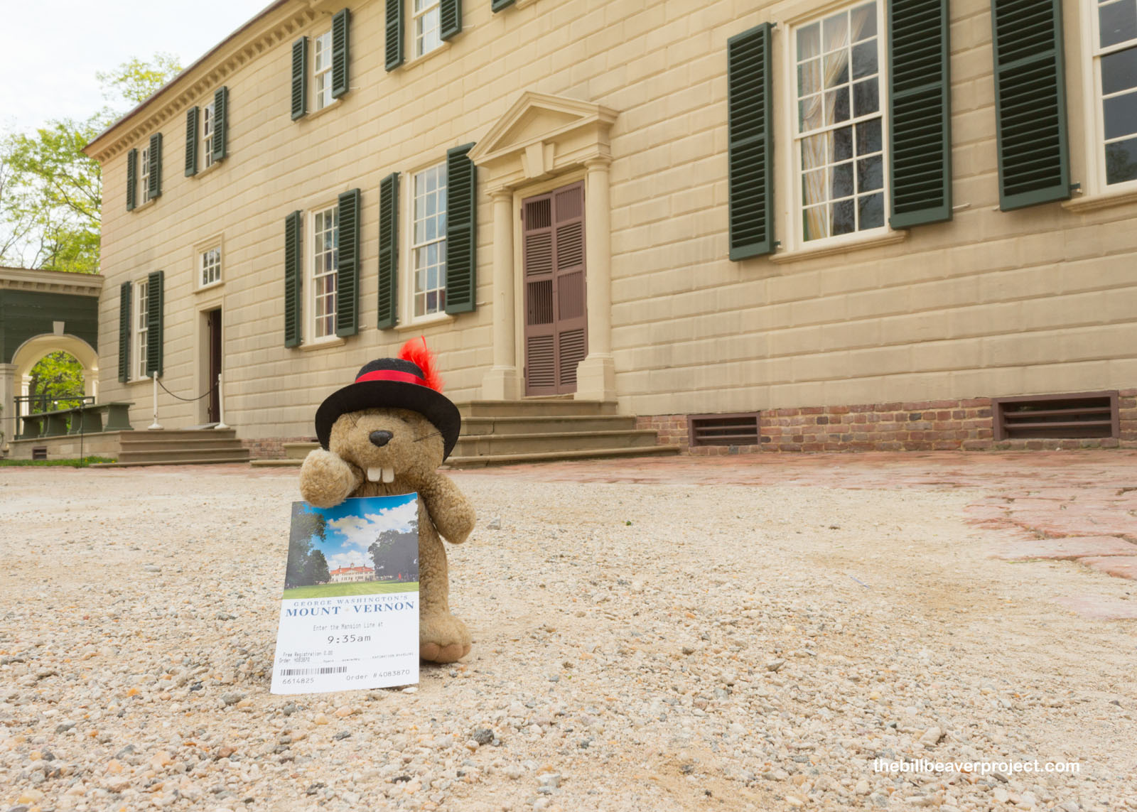 |
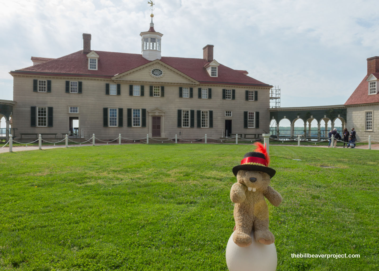
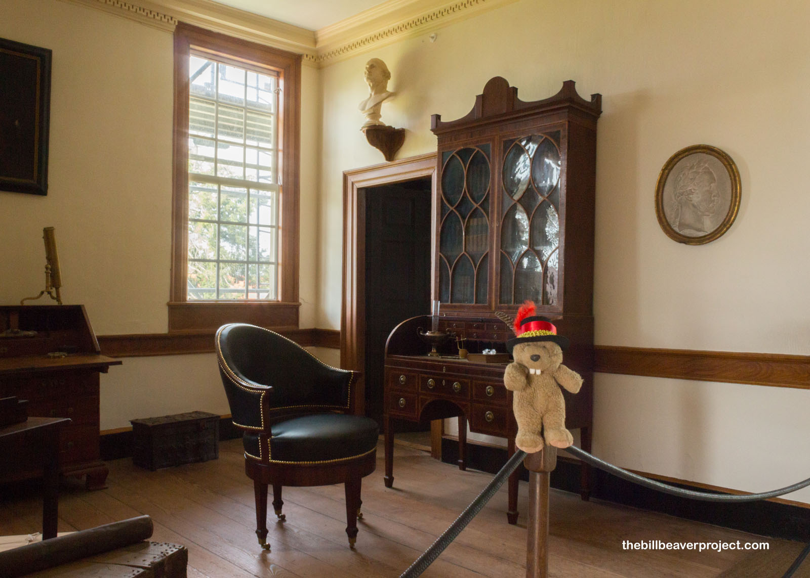
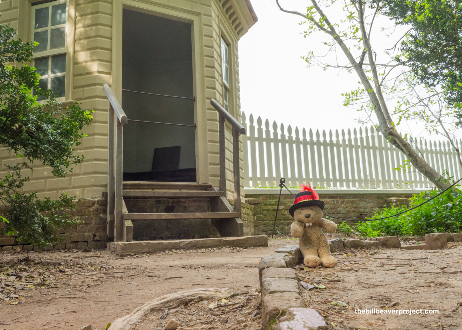
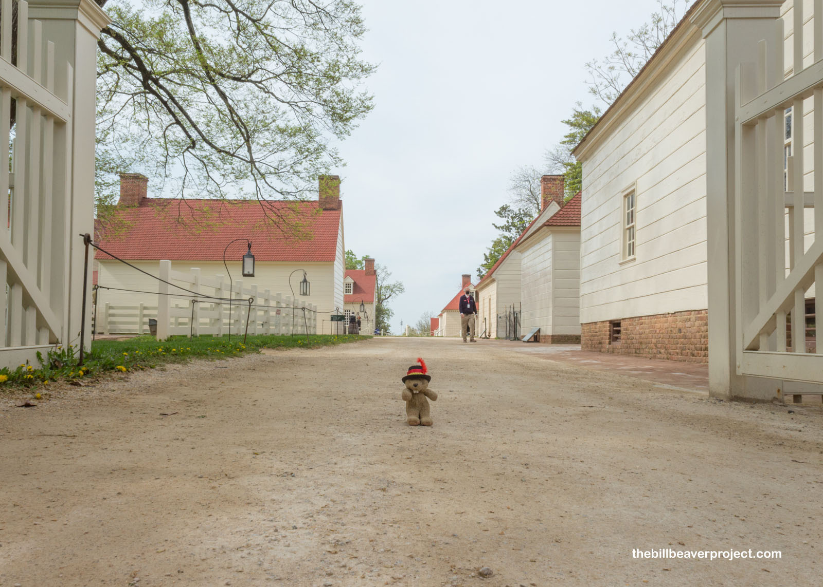
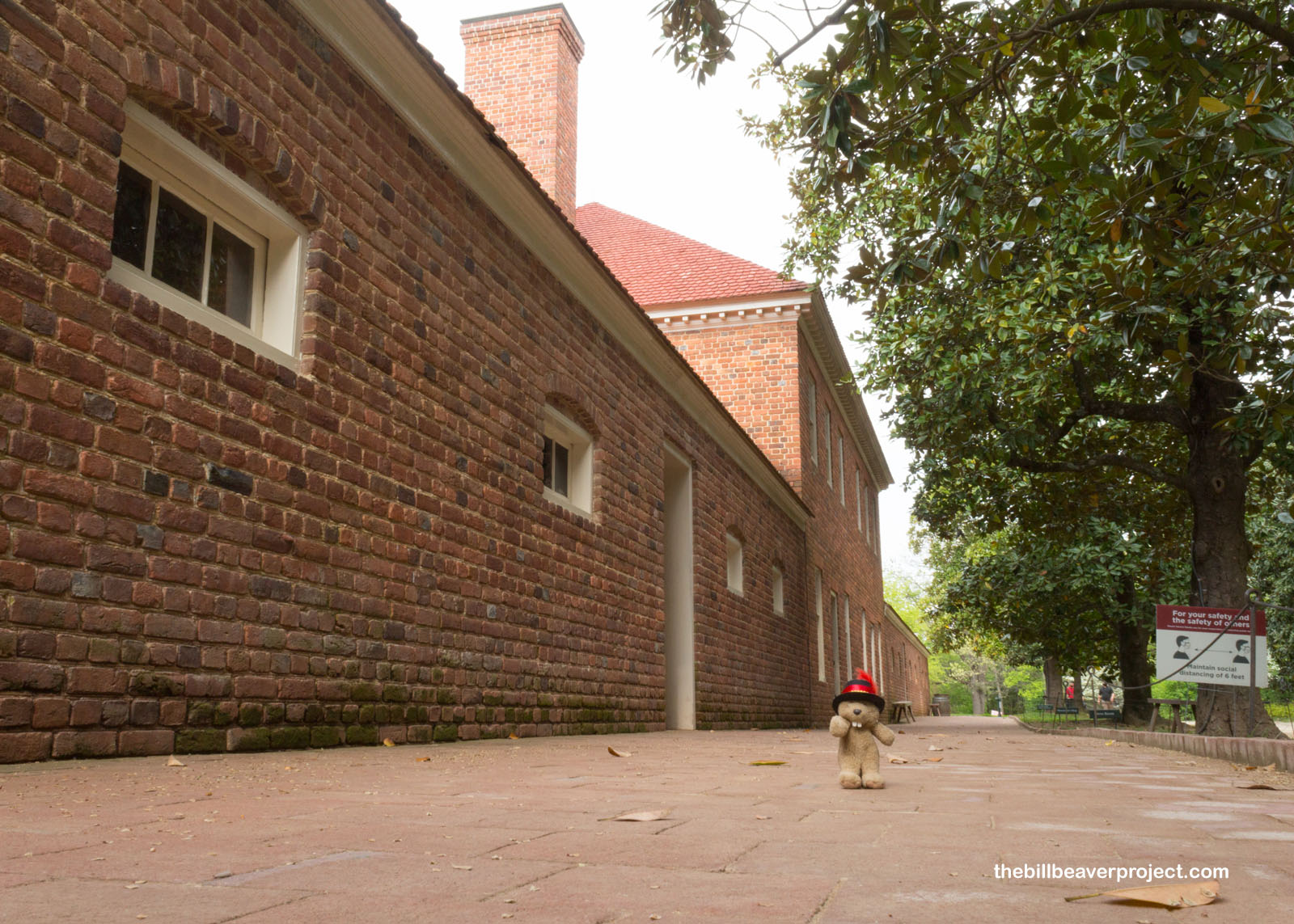
Getting here early on a Wednesday morning sure had its advantages! For starters, the crowds were super small, and it was easy to get an early tour ticket. The tour was going to run differently, though because of the pandemic. They gave as much information outside as possible, because, while there would be docents inside, they wouldn’t be answering any questions to discourage lingering and chatting for too long in an enclosed space! George himself didn’t linger too long here, spending lots of time away fighting in the French and Indian War, the American Revolution, and, of course, serving two terms as president!
 |
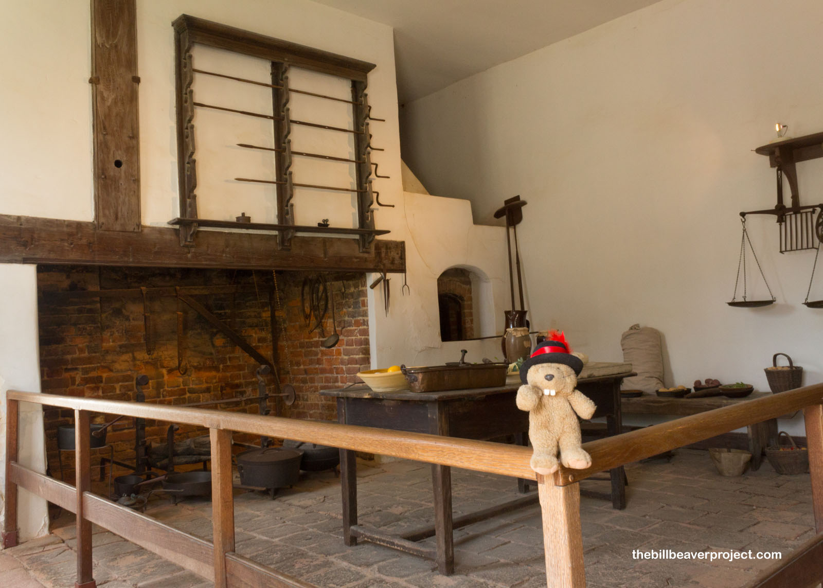 |
Nevertheless, he had lots of expansion projects on his plate, and after two major expansions, Mount Vernon spanned 7,600 acres with a mansion of 11,000 square feet, a farm, gardens, a greenhouse, and of course, the famous necessaries. What other folks called privies or outhouses, the residents of Mount Vernon called necessaries, four in total, for use well away from the mansion, unless it was cold. Then they used chamber pots in their bedrooms.
 |
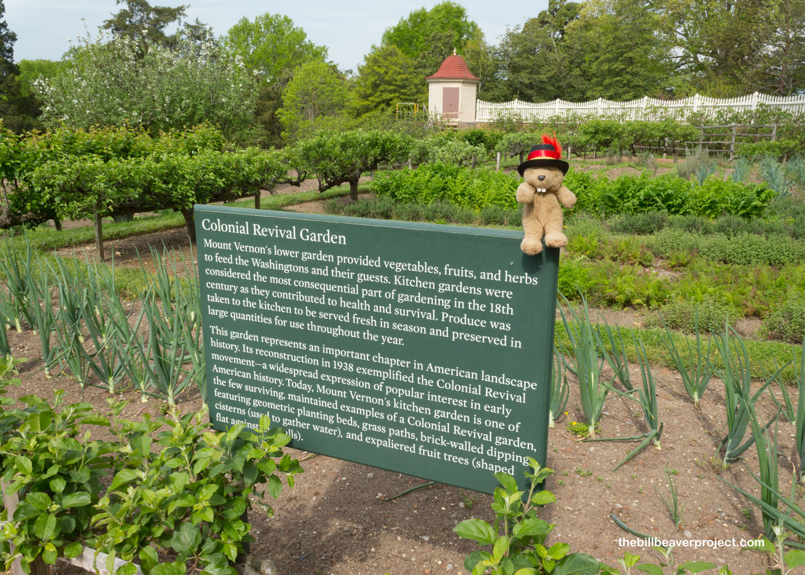
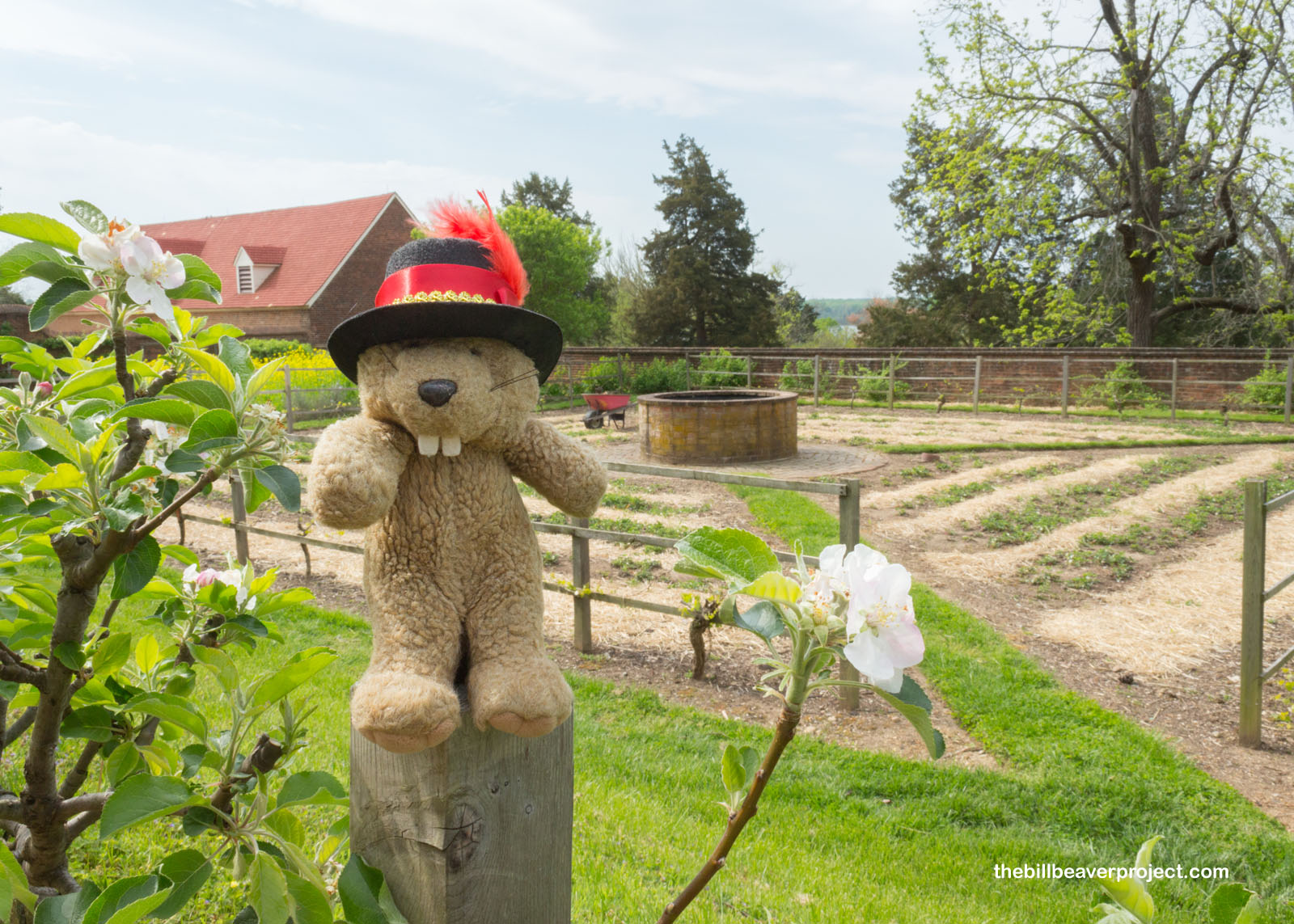
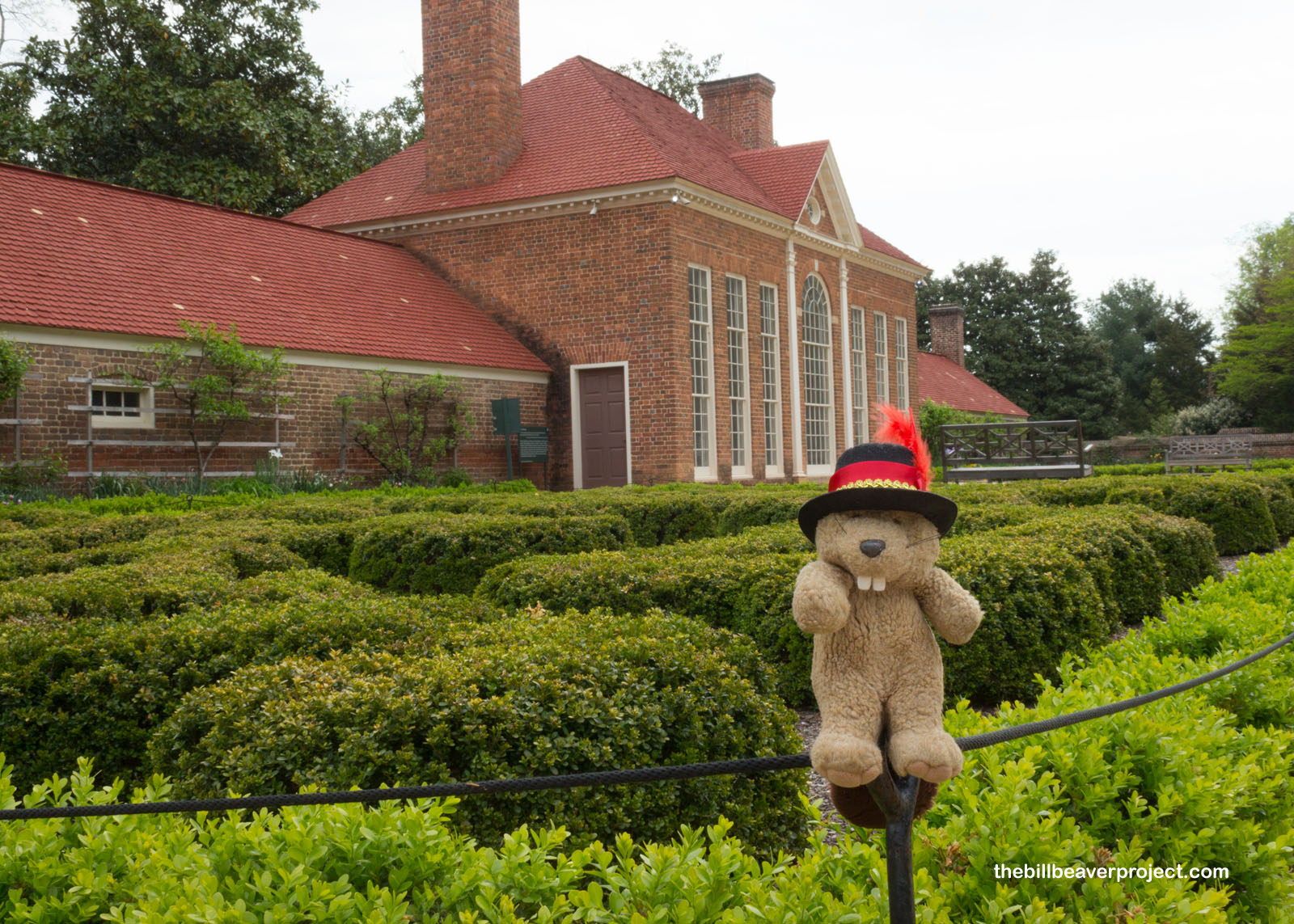
But next, I wanted to see the gardens and was immediately impressed by the espaliered apple trees in the Lower Garden. Espalier is a type of branch training that can direct an apple tree’s growth along a wall or trellis! These little apples had been trained into living fences that lined the edges of the garden! At the time of the Washingtons, they were mostly used for producing cider!
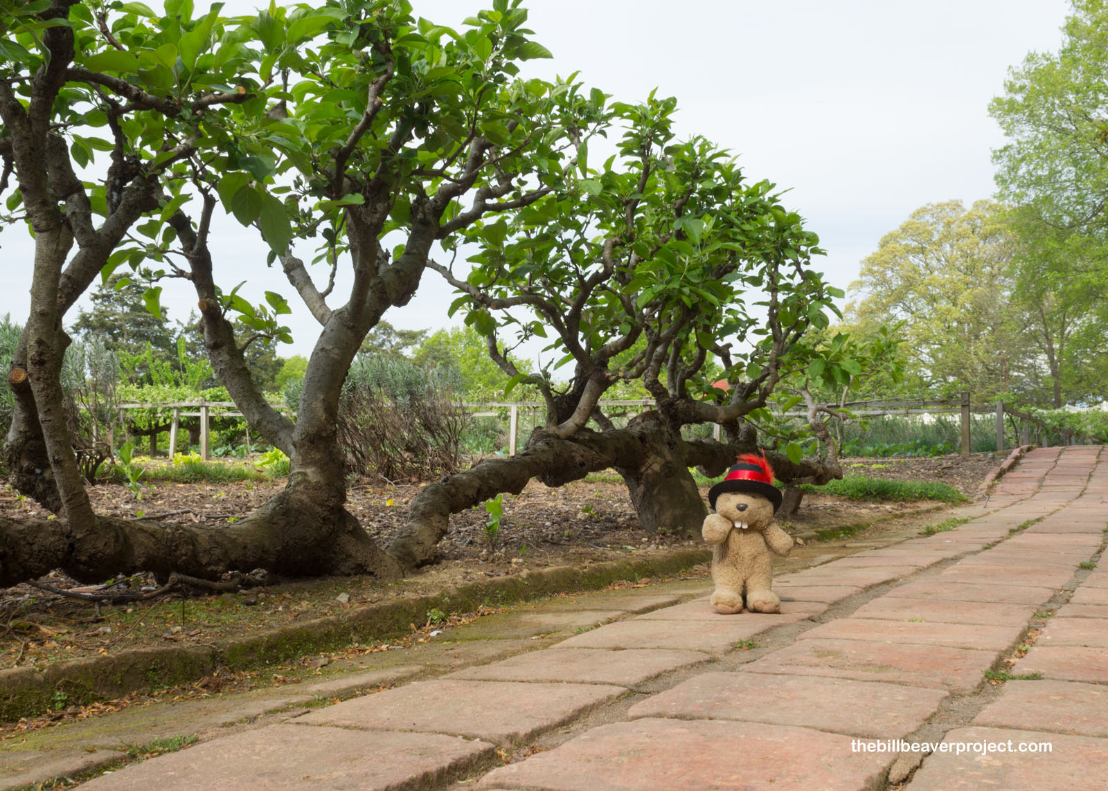 |
Originally, this Lower Garden was the domain of Martha Washington, who planned out the fruits, vegetables, and herbs that would be grown here for flavor and nutrition! It isn’t the exact garden that she supervised, reconstructed in 1938 as part of the Colonial Revival movement, but it has been continuously cultivated in some form or another since the 1760s!
 |
 |
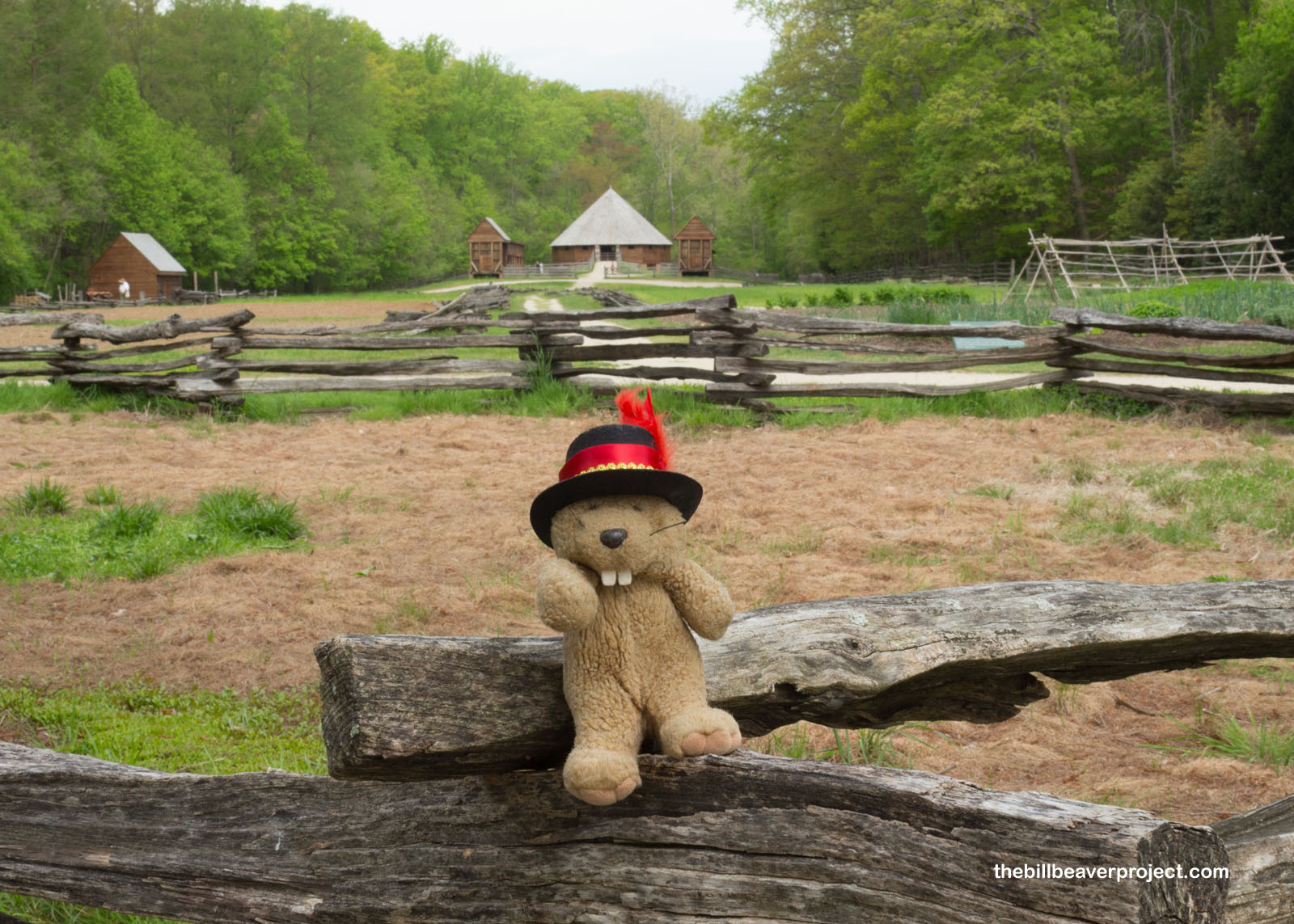
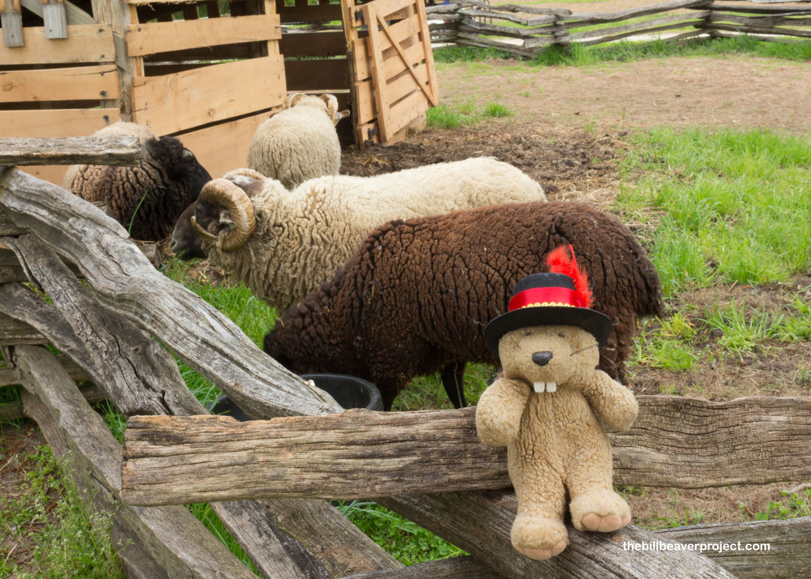
Beyond the lower garden, a pioneer farm still features live animals and demonstrations of 18th century cultivation practices! It even includes a reconstruction of Washington’s own invention, the 16-sided treading barn, in which horses would trot around an elevated platform covered in wheat, and their hoofs would separate the wheat grains that would fall through the slots in the platform! The sheep I met today were not impressed, though.
 |
 |
Of course, it’s easy to say that this was all done by George or Martha or Lawrence or Augustine solo, but that’s far from the case. To learn more about the hands that built and maintained Mount Vernon would require some ducking “behind the scenes!”
 |
On the backside of the Washingtons’ show greenhouse were the slave quarters. At its height, 317 people were enslaved here and on the Washingtons’ other farms. Over 50 enslaved people were specially trained in construction, toolmaking, and animal care but could still be demoted, whipped, or sold on a whim. At least 47 people ran away, including Hercules Posey, the executive chef who had been in Philadelphia during talks of independence and was later demoted from chef to laborer. Though George Washington never spoke out publicly against slavery, he willed his slaves free at his wife’s death, but half had already been inherited by Martha’s grandchildren or married into families that were not freed. Today, this is still a cloud hanging over the founding of the United States!
 |
 |
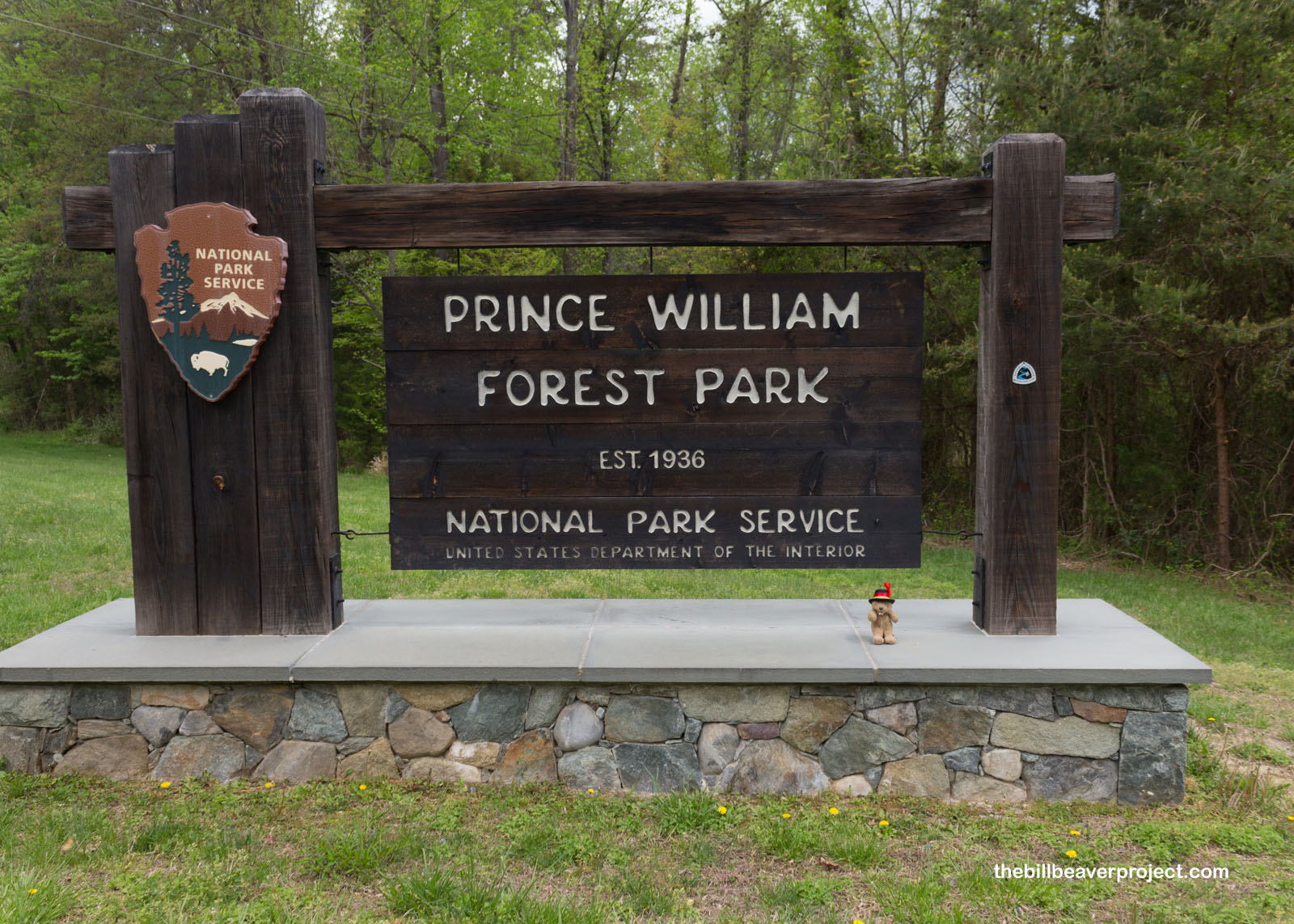
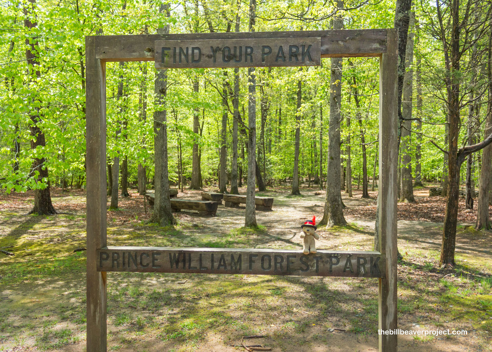
And speaking of clouds, an afternoon storm was in the forecast, which meant I needed to wrap up at Mount Vernon and head south to my next stop near Quantico: Prince William Forest Park! This park was opened in 1936 as Chopawamsic Recreation Area to create a children’s “relief” camp where kids could step out of the Great Depression for a bit. It was renamed Prince William Forest Park when it was handed to the National Park Service in 1948!
 |
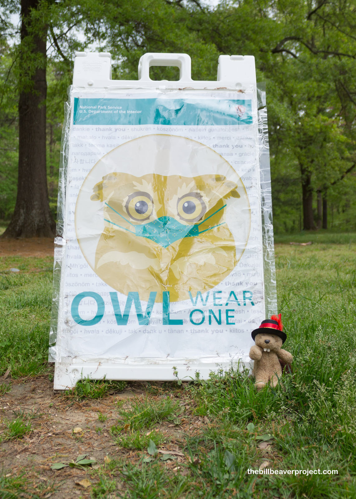
A cautious owl greeted me as thunder rumbled overhead, reminding me to take shelter ASAP! This masked owl also reminded me there were 1,236 new COVID cases in Virginia yesterday and 314 back home in LA! It’s been a wild ride, and even with numbers sinking, it was nice to be here in an empty parking lot, even as the sky opened up!
 |
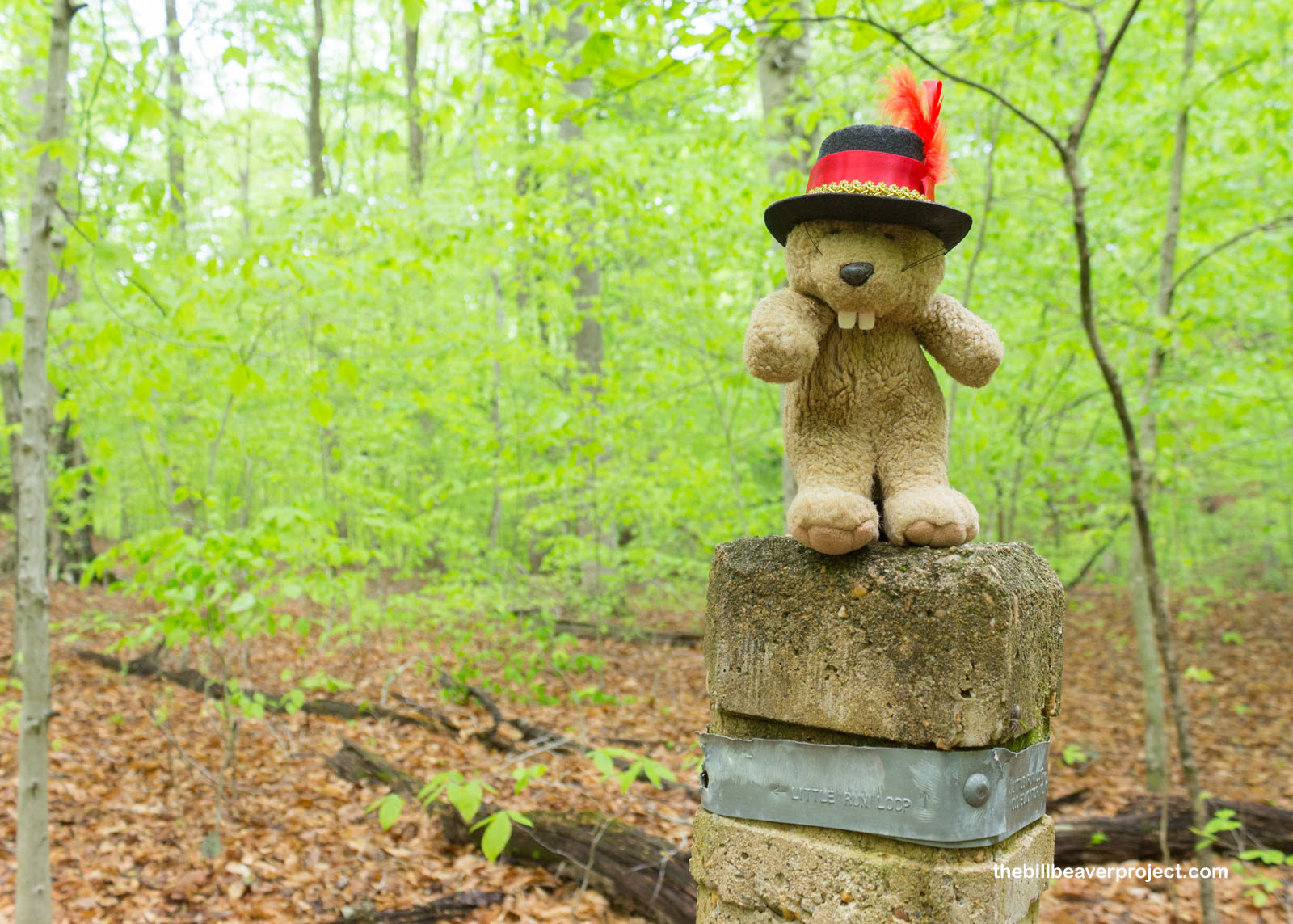
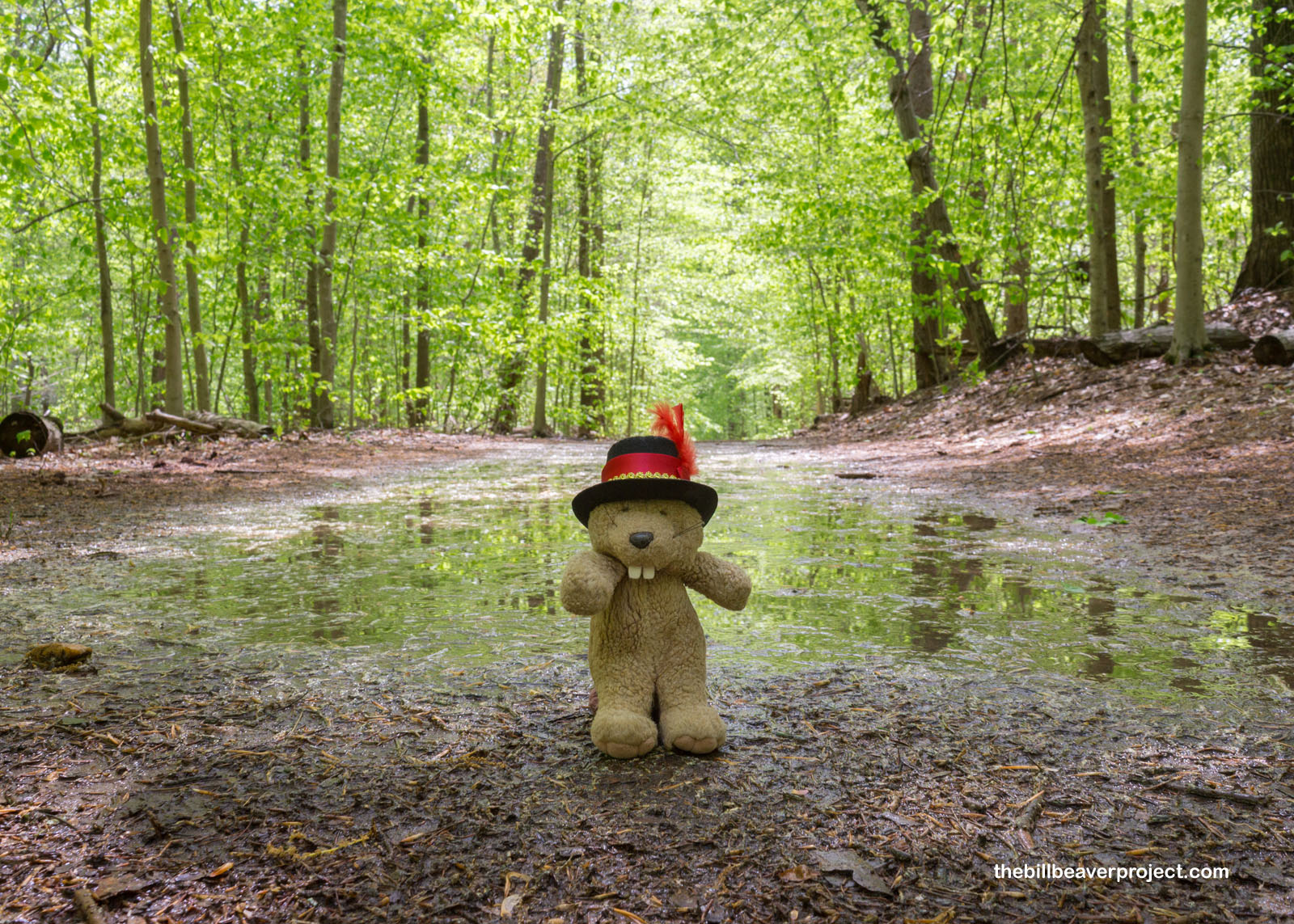
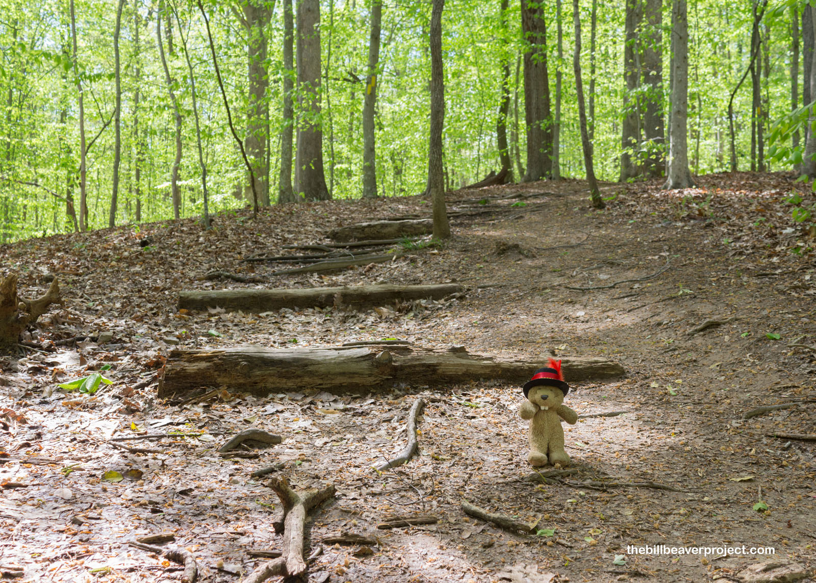
I waited out some heavy rain for about twenty minutes until the sun started poking through again and I set out to not only “find my park” but also to find the Little Run Loop trailhead! It was not very clearly marked, just a tiny metal tag on a nondescript post, but soon I spotted some familiar tree blazes and set out on my journey into the woods!
 |
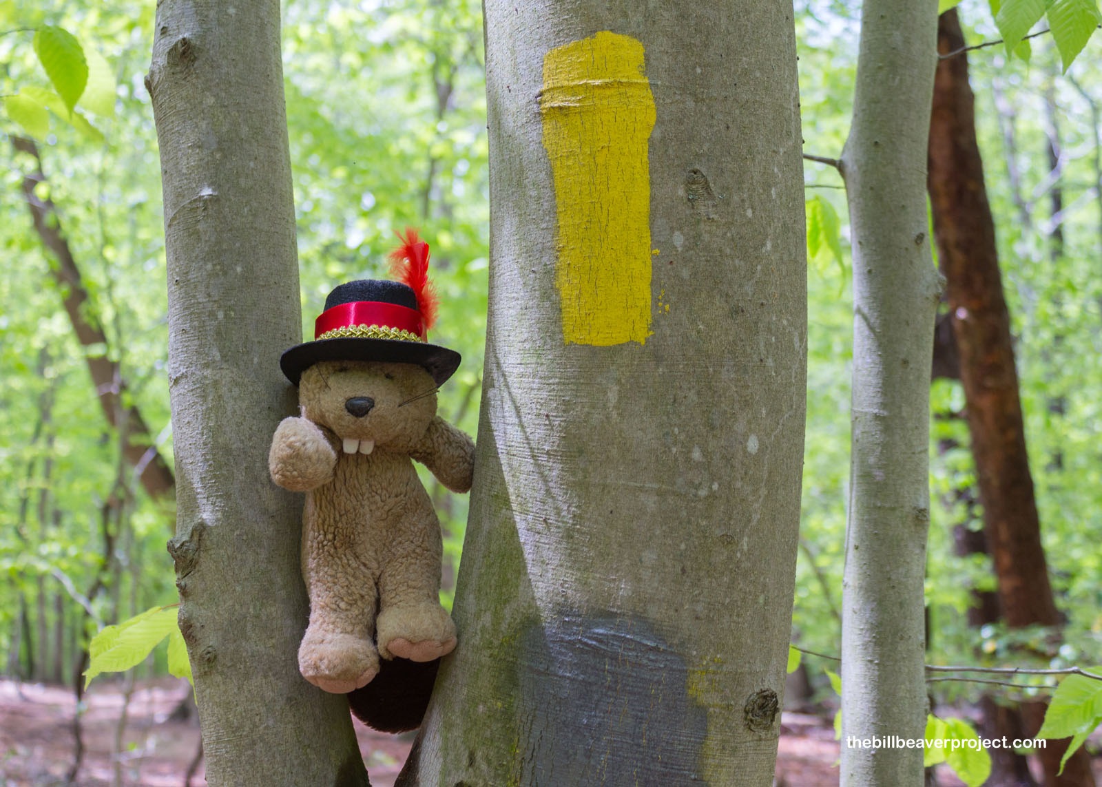 |
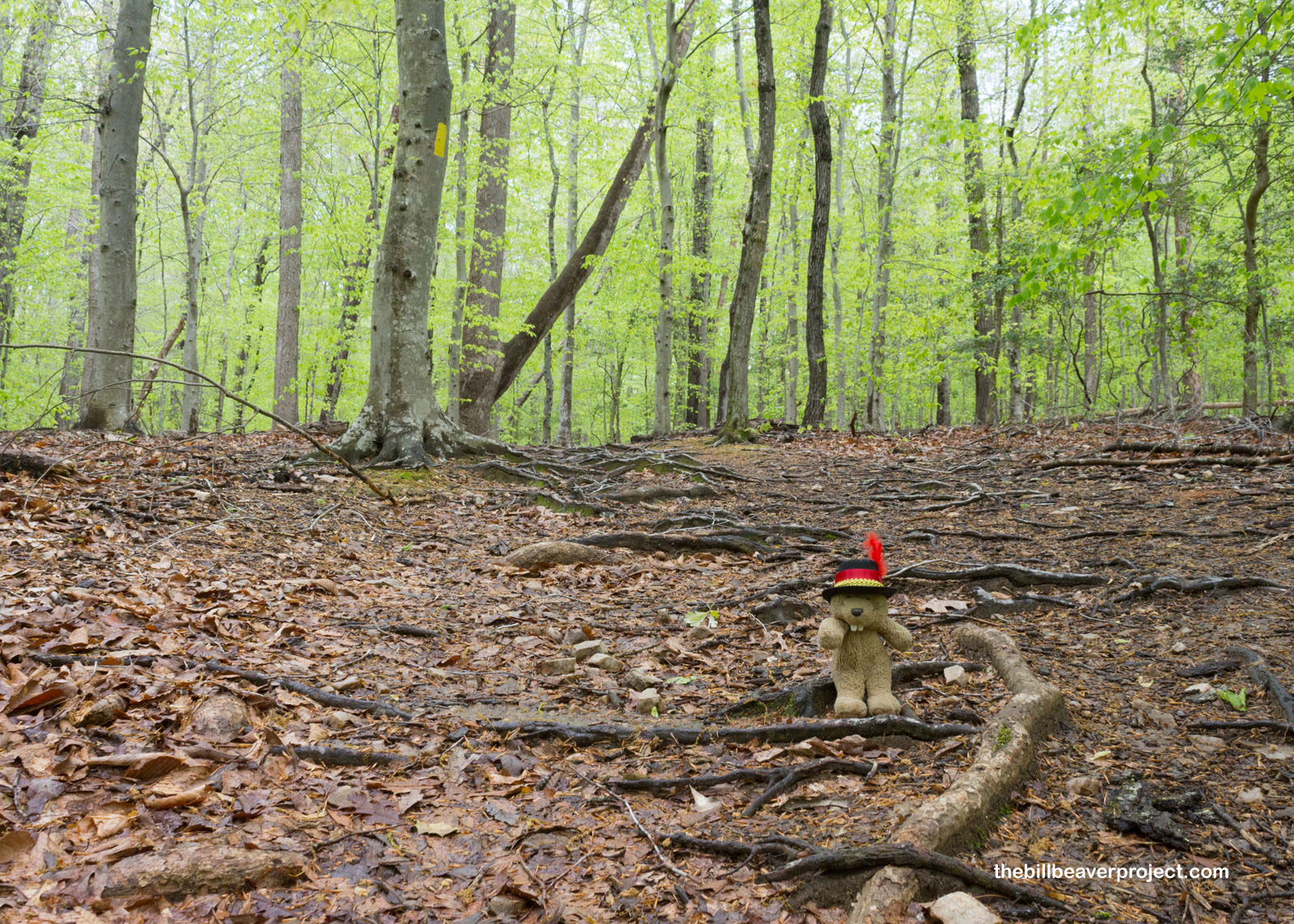
The rain had made the forest extra green, which is always a special treat when I visit the East Coast! Following the blazes, I headed down the dampened trail, just me and nature. Before 1936, many of these trees had been cut down to fuel the Cabin Branch Pyrite Mine and the neighboring towns of Hickory Ridge and Batestown, which had both been unique examples of towns where both white and African-American folks owned land, side by side! Residents of both towns were evicted to make room for this preserve.
 |
 |
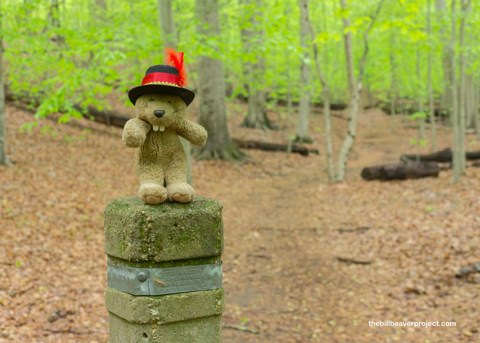
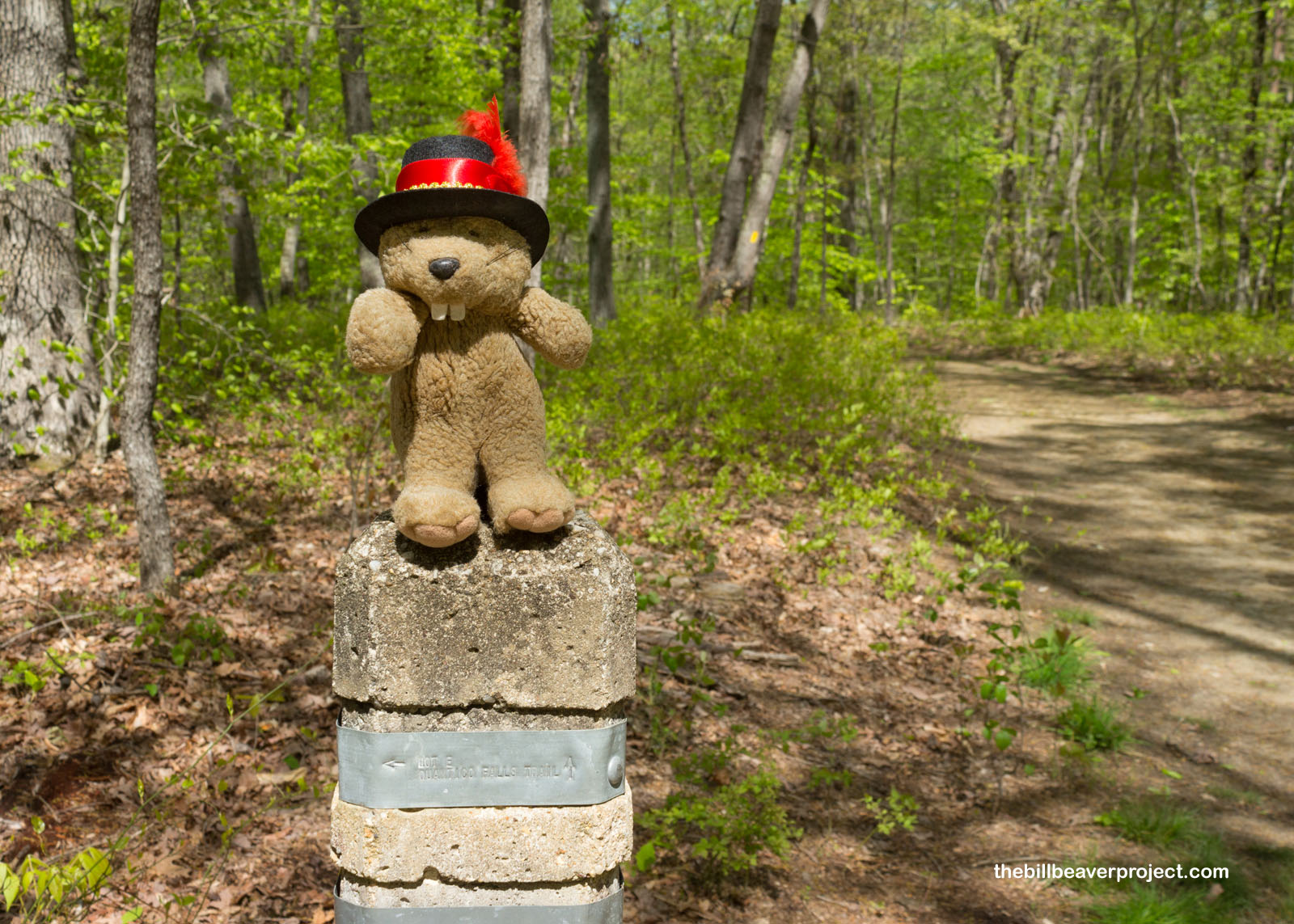
Along the way, I did my best to navigate by these frustrating sign posts. Can you make out the trail names from these pictures? I had to get real close to figure out what they were called and which directions they were pointing! I had to backtrack a few times in my search for the historic remains of Taylor Farm!
 |
 |
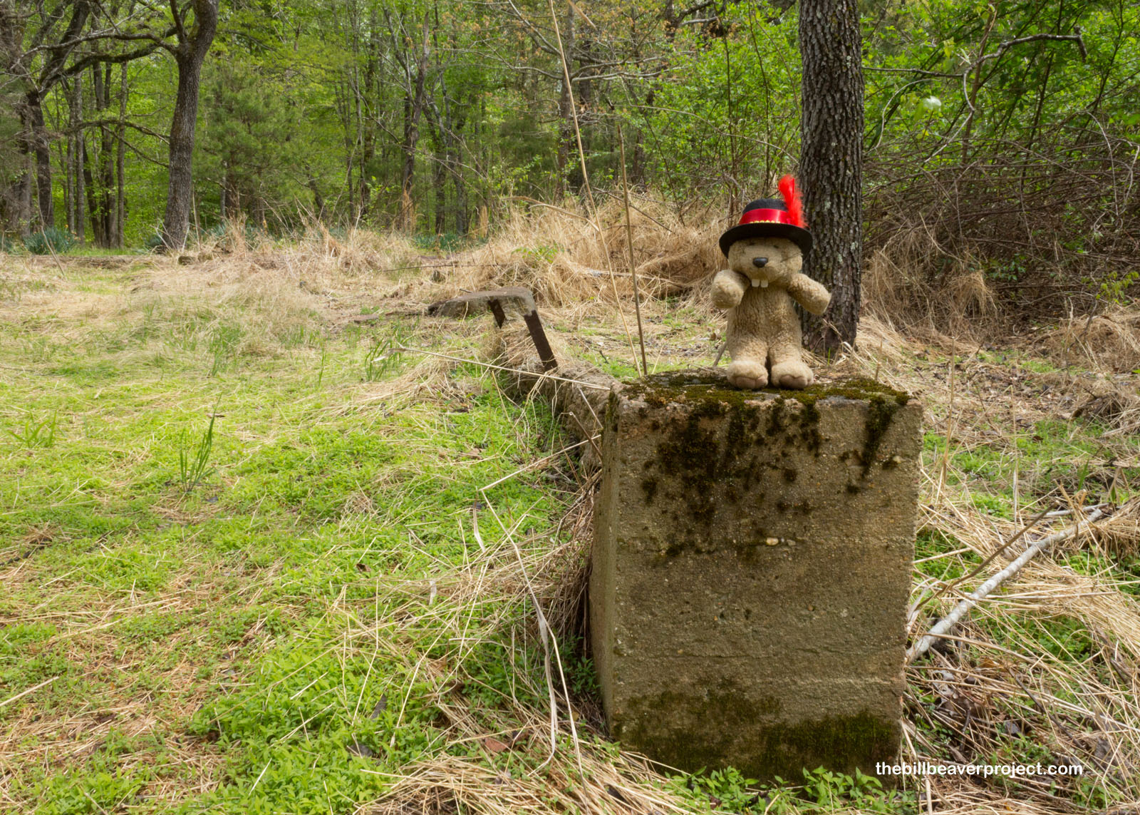
It took some serious searching, but I did eventually locate the foundations of the Taylor home. Robert and Jennie Taylor moved here in 1899, where they raised cows, grains, fruit trees, and nine children all the way until they were bought out in 1942 for $4,180! Until that point, though, they’d had to not only farm but also work in mining, timber, and a small store that they opened in 1925! They were definitely one of the richest families in the area, which enabled them to hold onto their property so long, but by now, very little remains of their mini empire, swallowed up by wisteria!
 |
 |
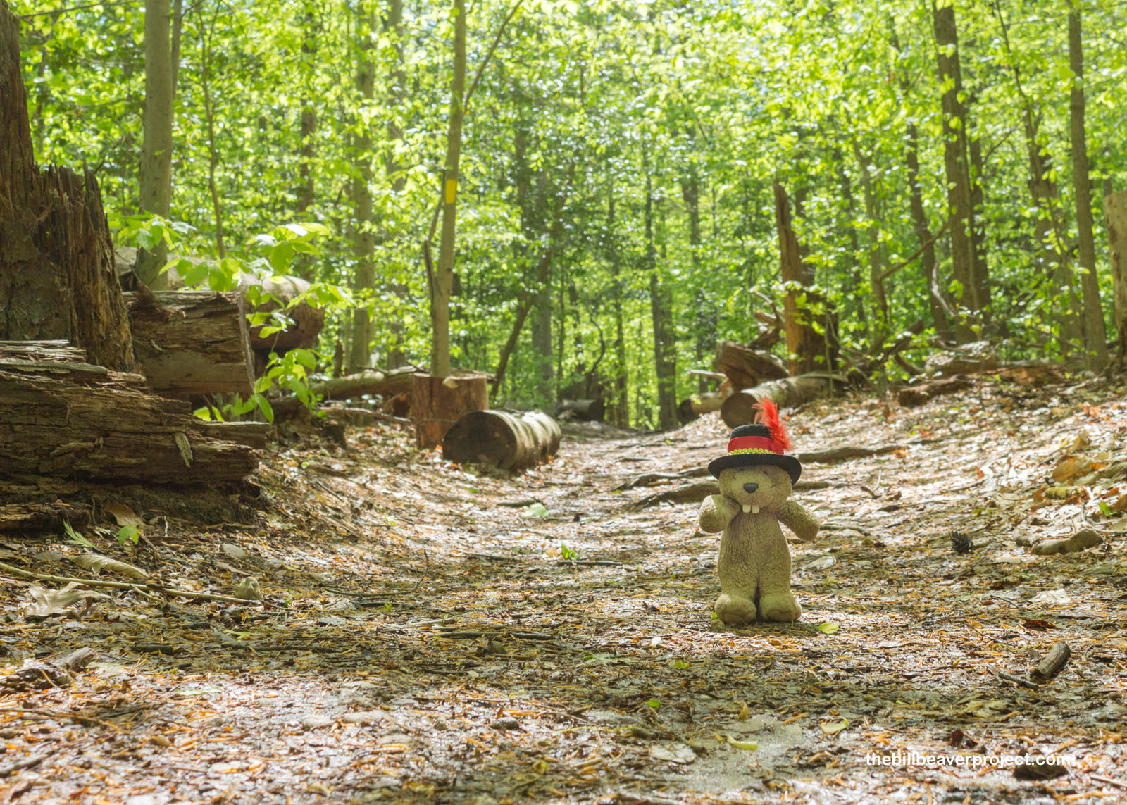
Before I also got swallowed up by wisteria, I headed back toward the parking lot, which turned out to be tougher than expected, thanks to the really small direction posts! It was a lovely walk through the trees and around the puddles, but I was glad to get back on the road so my journey through the park could continue!
 |
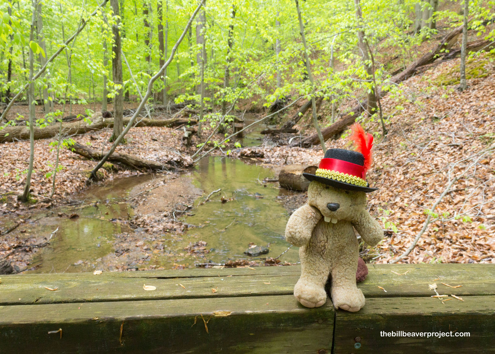
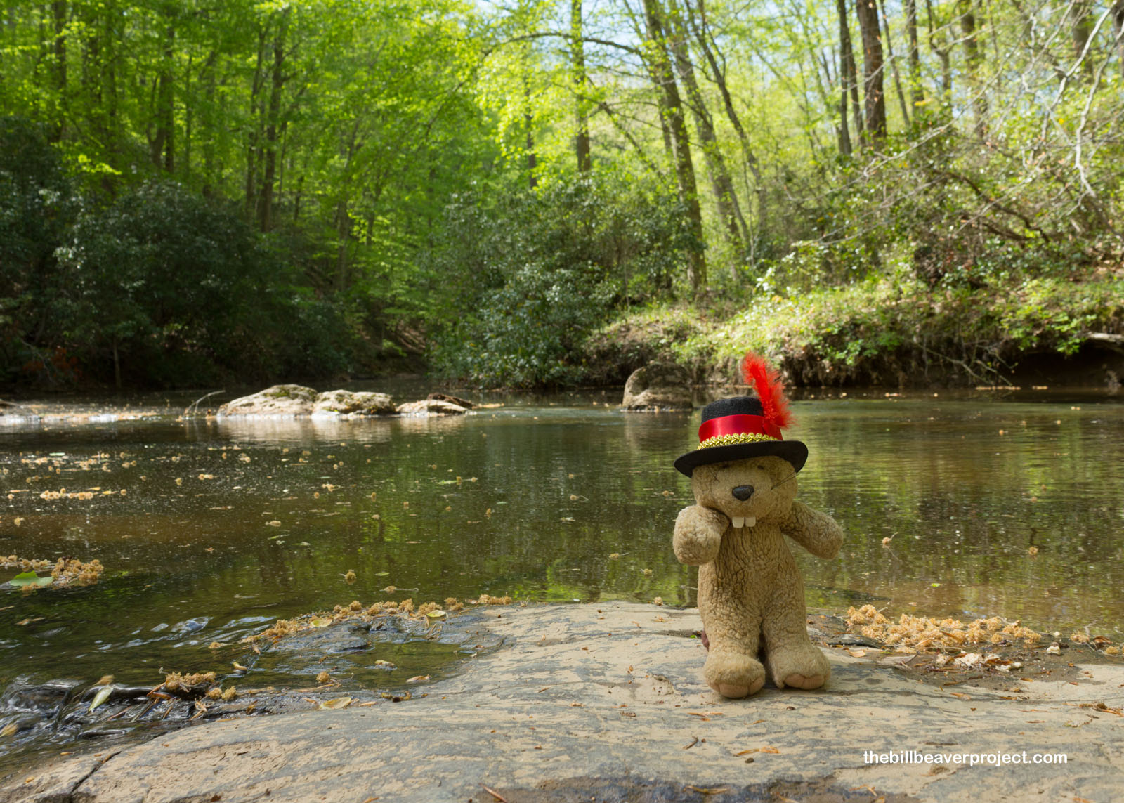
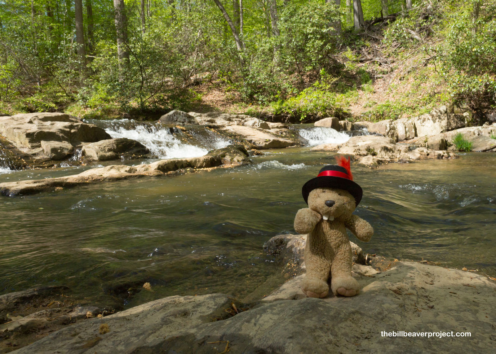
My next stop was the Quantico Cascades Trail, which would lead down to the river of the same name. By now, the sun was out and here to stay, bringing things from chilly to hot in moments!
 |
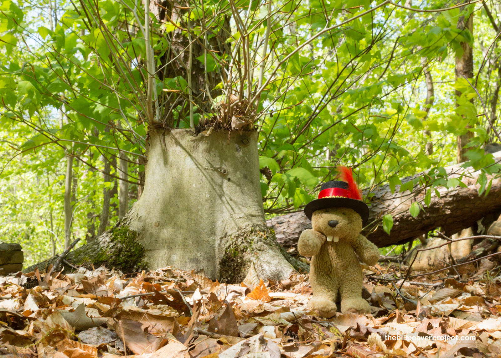
As I started this leg of the journey, I saw a reminder of nature’s resilience: a lopped off stump with new branches growing from the base! It is always nice to know how life can bounce back after an interruption like that!
 |
The trail to the river drifted lazily downward before making a quick drop toward the sound of rushing water! For me, it’s always kind of exciting approaching a hidden river and wondering when it will come into view at last!
 |
 |
Then there I was at the Quantico River. It sure did take things easy! The cascades themselves were not very large, more a downward step in the riverbed. But it was serene and tranquil, and I was glad to have seen it before concluding a day’s travels much further to the south!
 |
 |
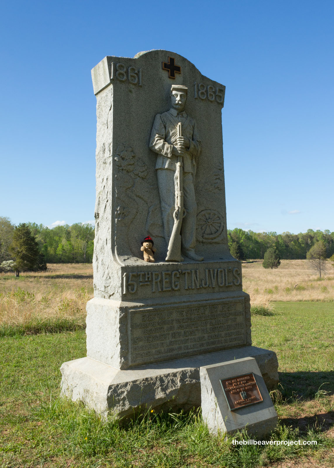
About 33 miles south, I arrived at Spotsylvania Court House Battlefield, where the final battles of the Fredericksburg & Spotsylvania campaigns took place in 1864! I would be exploring this national park unit in reverse, from Spotsylvania to Chancellorsville to Fredericksburg!
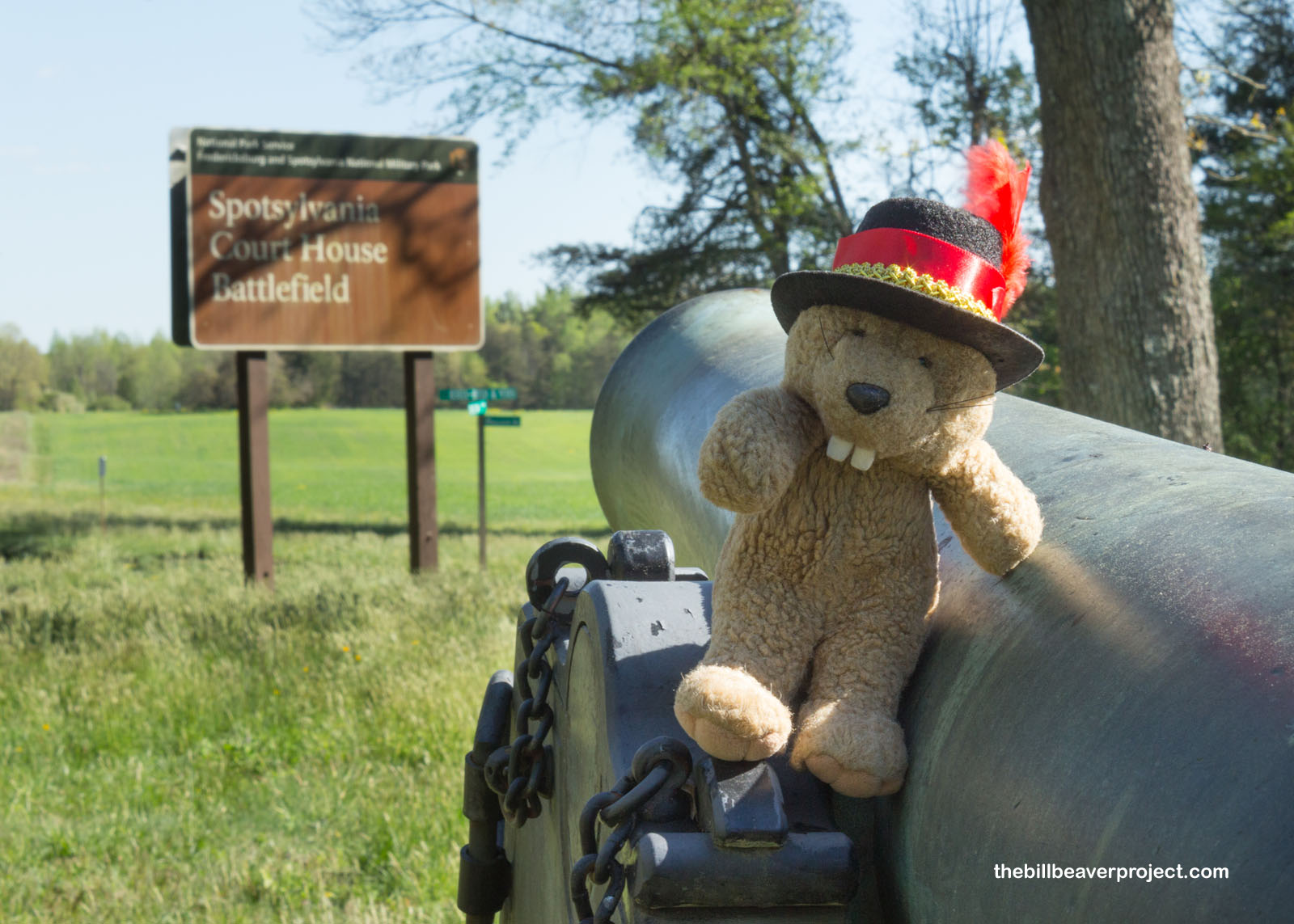 |
By the time the Battle of Spotsylvania Court House took place, the Union had already been trounced three times by the Confederacy, first at Fredericksburg in 1862, then at Chancellorsville and the Wilderness in 1863, before returning here once again under the leadership of General Ulysses S. Grant in 1864. Here, the Union attacked a semi-circular line of earthen defenses called the Muleshoe Salient. If they could break through, they’d have clearance to the Confederate Capital of Richmond!
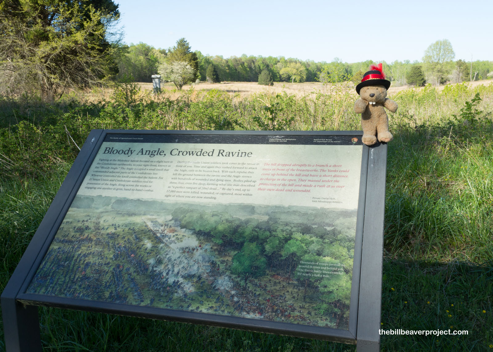 |
But the Union did not break through after 22 hours of nonstop combat! Fighting here was so fierce at the “Bloody Angle” that by the end of the day, at least 17,000 soldiers were killed, wounded, or captured! A poor oak tree was reduced to a stump by gunfire, and that stump is now on display at the Smithsonian!
 |
Although the Union eventually had to give up the Spotsylvania campaign, they did take advantage of a huge misjudgment by Robert E. Lee. Thinking the Union was going to give up and head south on May 11, he pulled 30 cannons off the apex of the Muleshoe Salient to reposition them, only to find that the Union was not headed south but attacking at that very minute! This flub cost two generals, 3,000 soldiers, and 20 cannons, and yet, the Union still could not earn a decisive victory here. That would come much later in Richmond!
 |
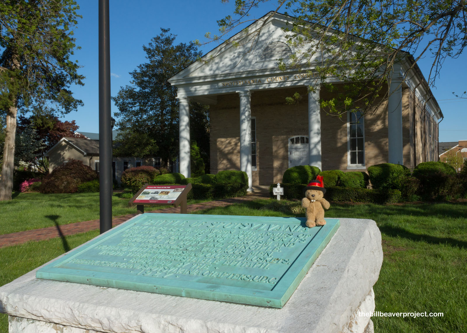
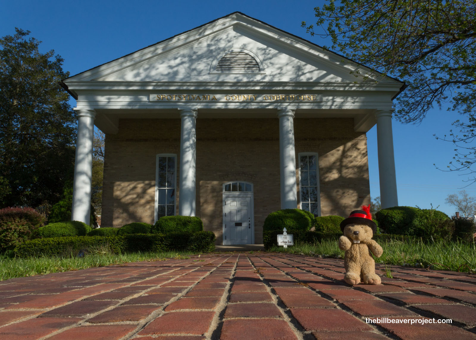
Whew! I really hit the road hard today, after a long hiatus, and I was feeling tired. Before I turned in for the night, I just had to check out the namesake of Spotsylvania Court House: the court house itself! Completed in 1840 by the same team who helped build the University of Virginia, Malcolm Crawford & William Phillips, the original building was so badly damaged by the nearby battles that it had to be repaired in 1870 then completely rebuilt in 1900! Only the Doric columns are still original!
 |
 |
Tomorrow, I’ll be going back in time in the battles of Fredericksburg and Spotsylvania Courthouse, with plenty more Civil War battlefields to cover on this Virginia adventure. For now, I’m off to grab a bite and rest up for another day of adventuring!
I’ll Spots ya later!

Next Day |
Total Ground Covered:* 94.1 mi (151.5 km) *This includes my 24-mile drive from D.C. to Alexandria, which I didn’t blog about. |
More 2021 Adventures |