 Previous Day |
Orange, VA → Staunton, VA 134.7 mi (216.8 km) |
 Next Day |
Step into Ragtime, everyone!
That’s Old Rag time! Today, I’m riding on the heels of yesterday’s rainstorm for a trek into my next national park: Shenandoah National Park to be precise! However the weather blows today, I’m going to make the famous Old Rag loop and see what else I can explore in this mountainous park before the sun sets! Let’s go!
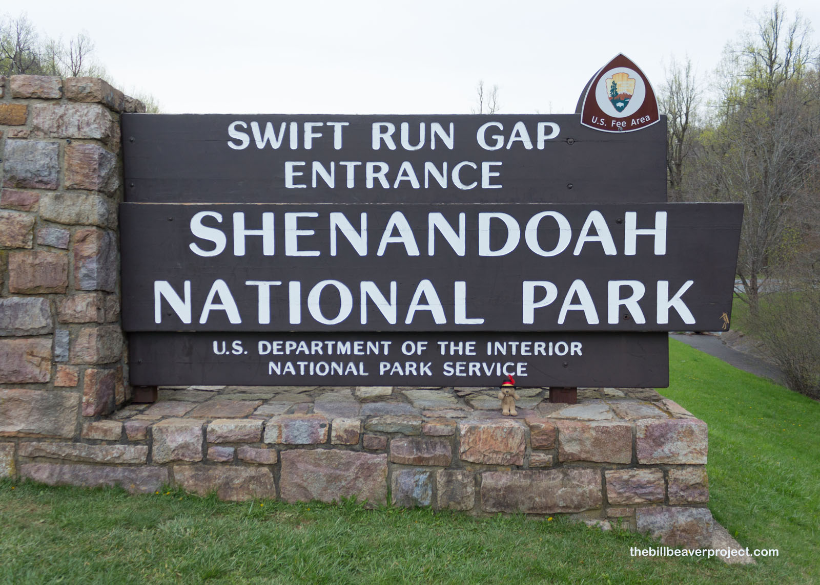 |
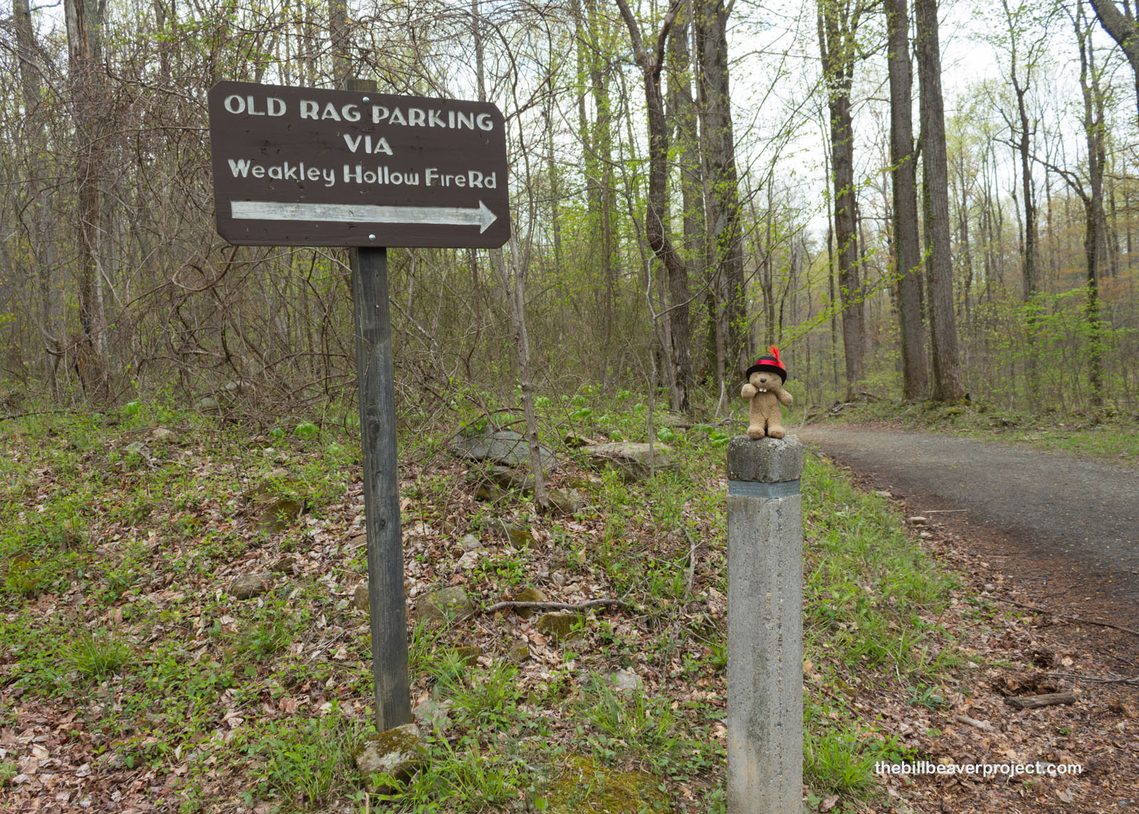
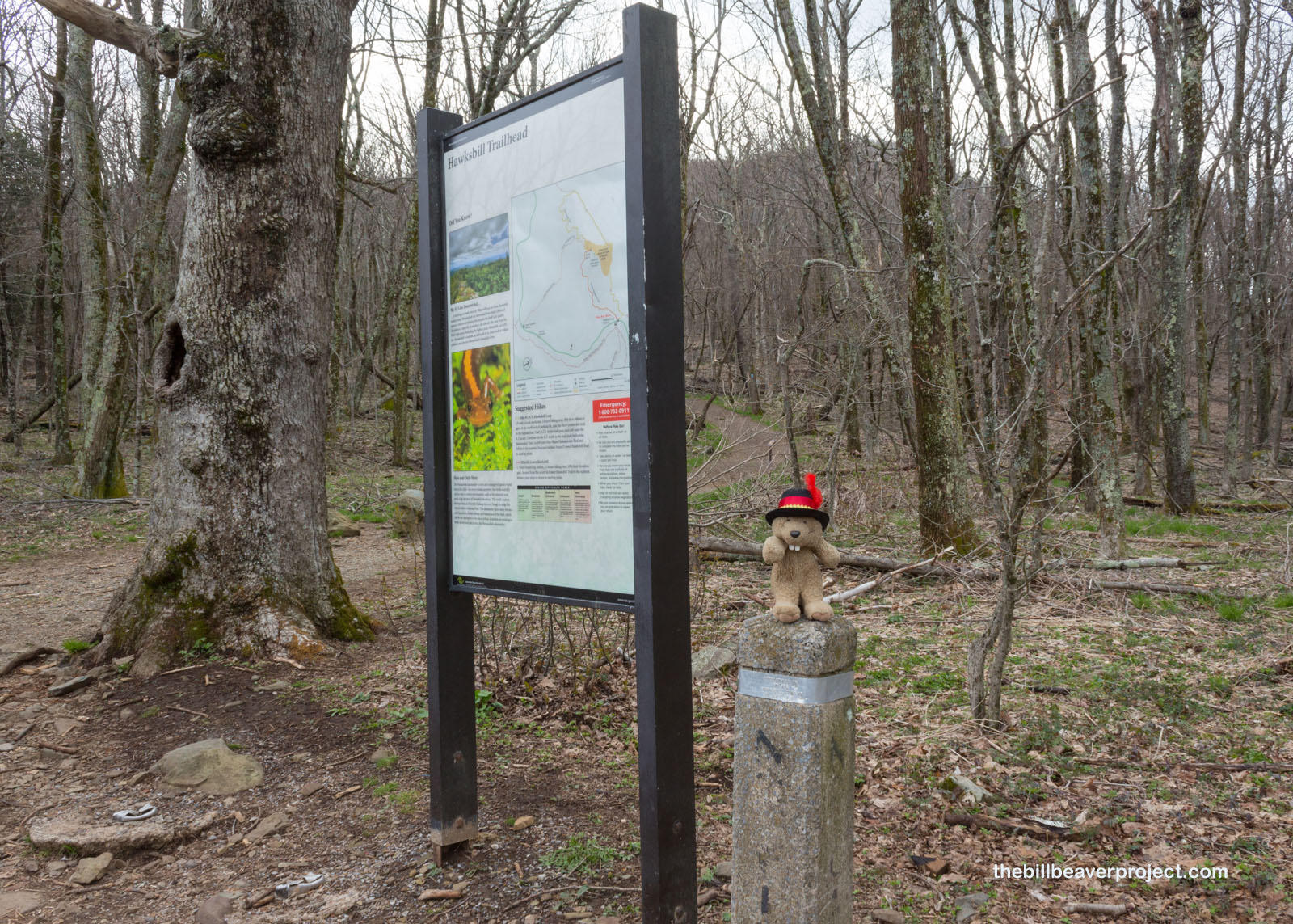
It was super misty when I arrived at the trailhead, but the perk to being here early on a potentially rainy day was that there were no crowds to fight at this super popular, 9.4-mile circuit trail! After getting my lecture on bear and tick safety from the ranger, I set off to see what I could see on this super lush loop!
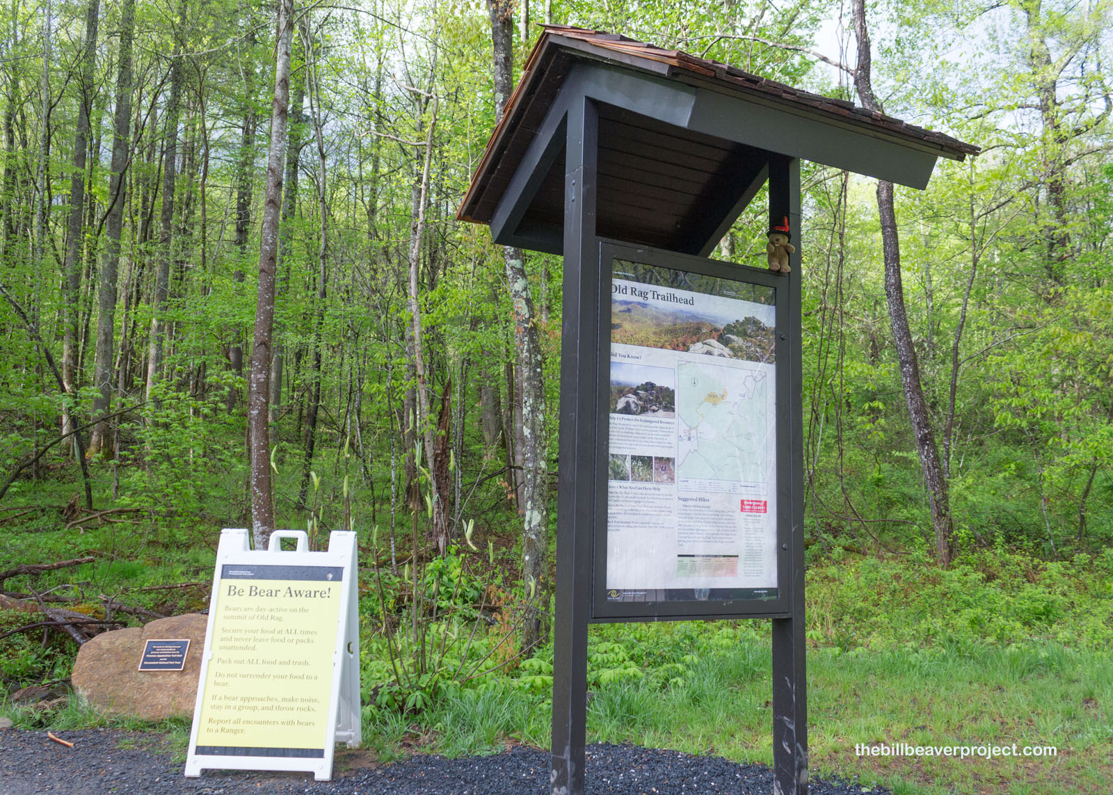 |
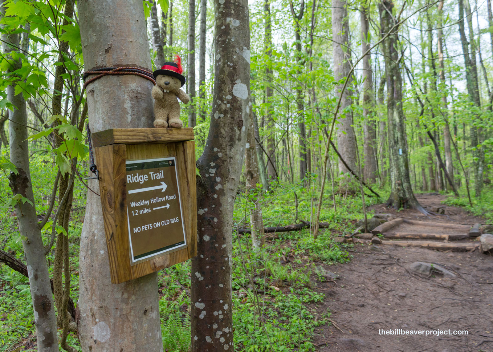
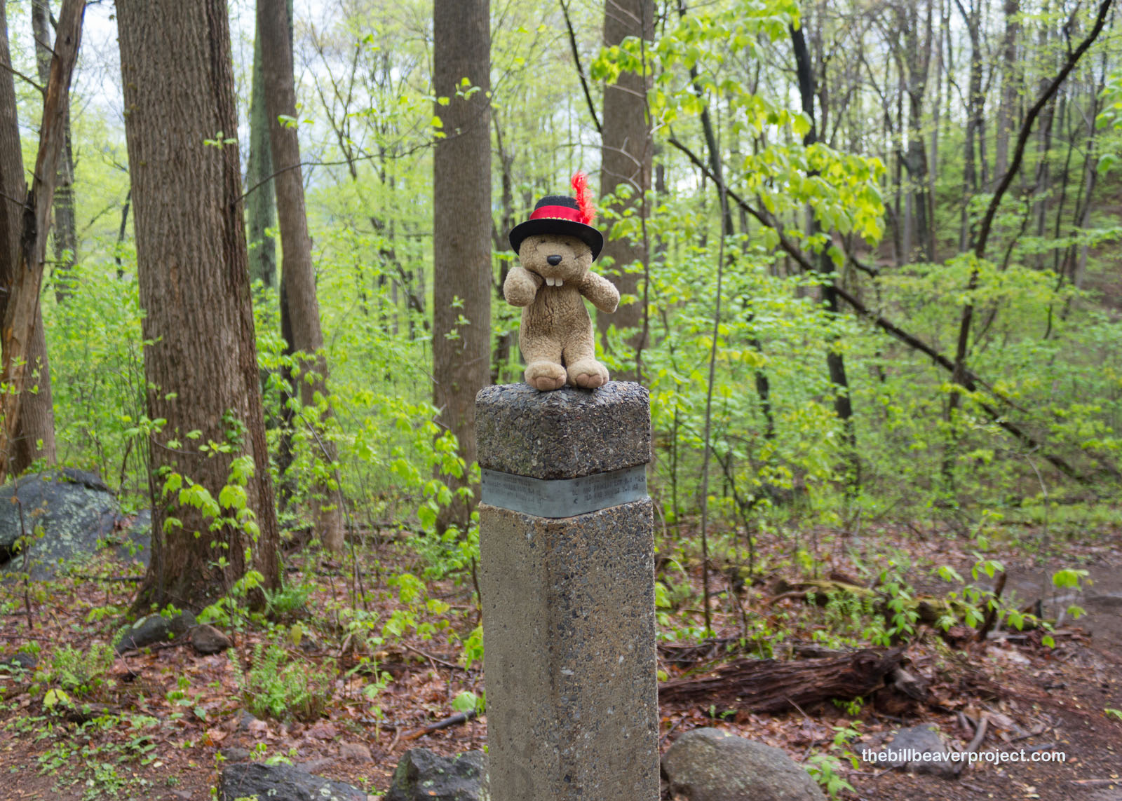
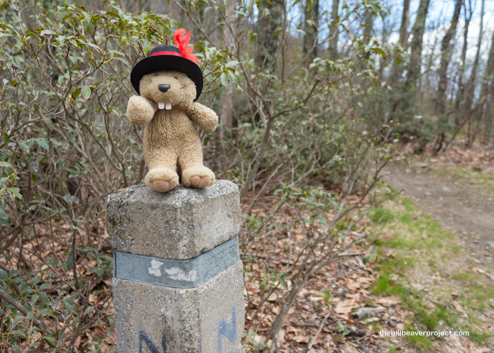
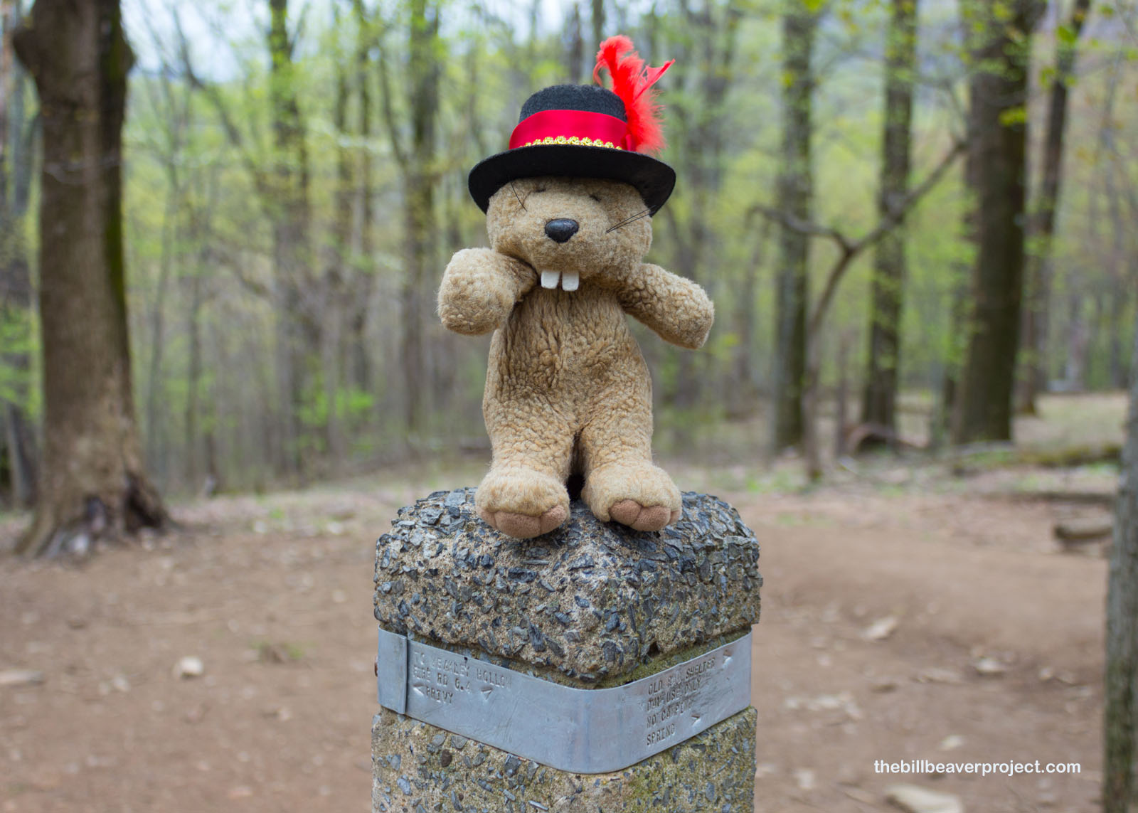
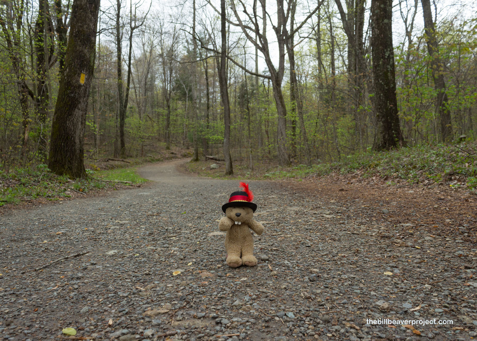
My way was going to be guided by small signs and even smaller labels on cement posts, like I’d seen a few days ago at Prince William Forest Park. They were nowhere near as obvious as brightly painted blazes, but I was very unlikely to get lost on a trail like this one!
 |
 |
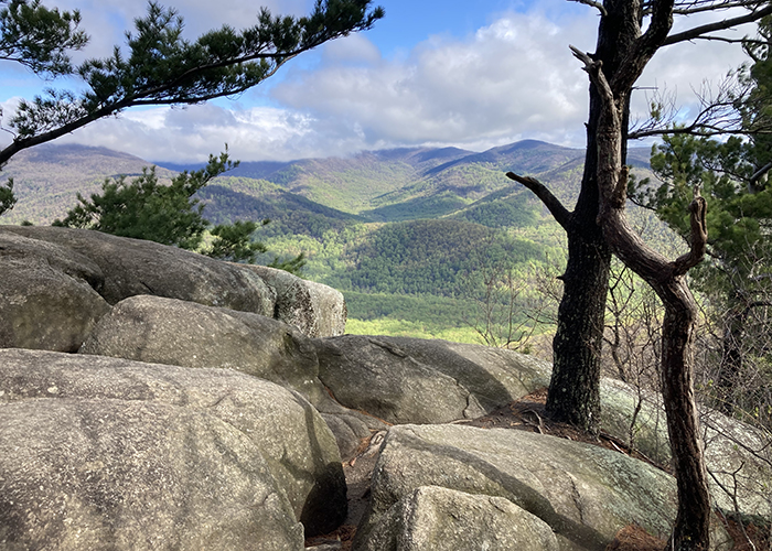
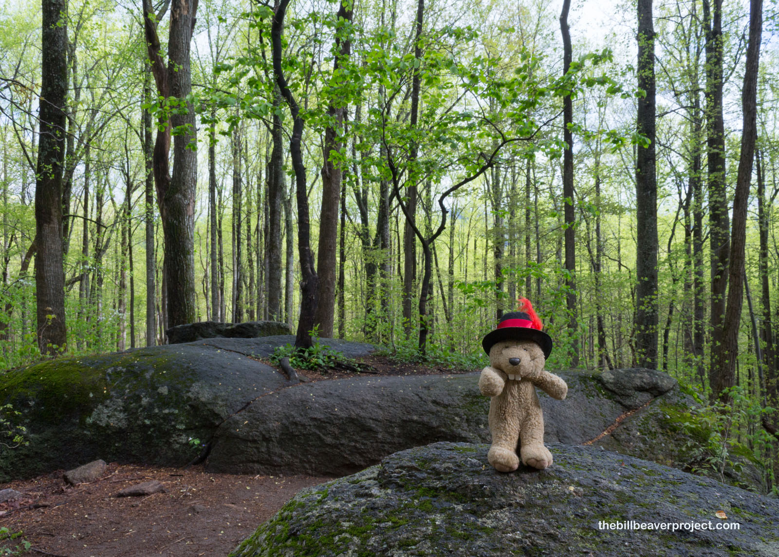
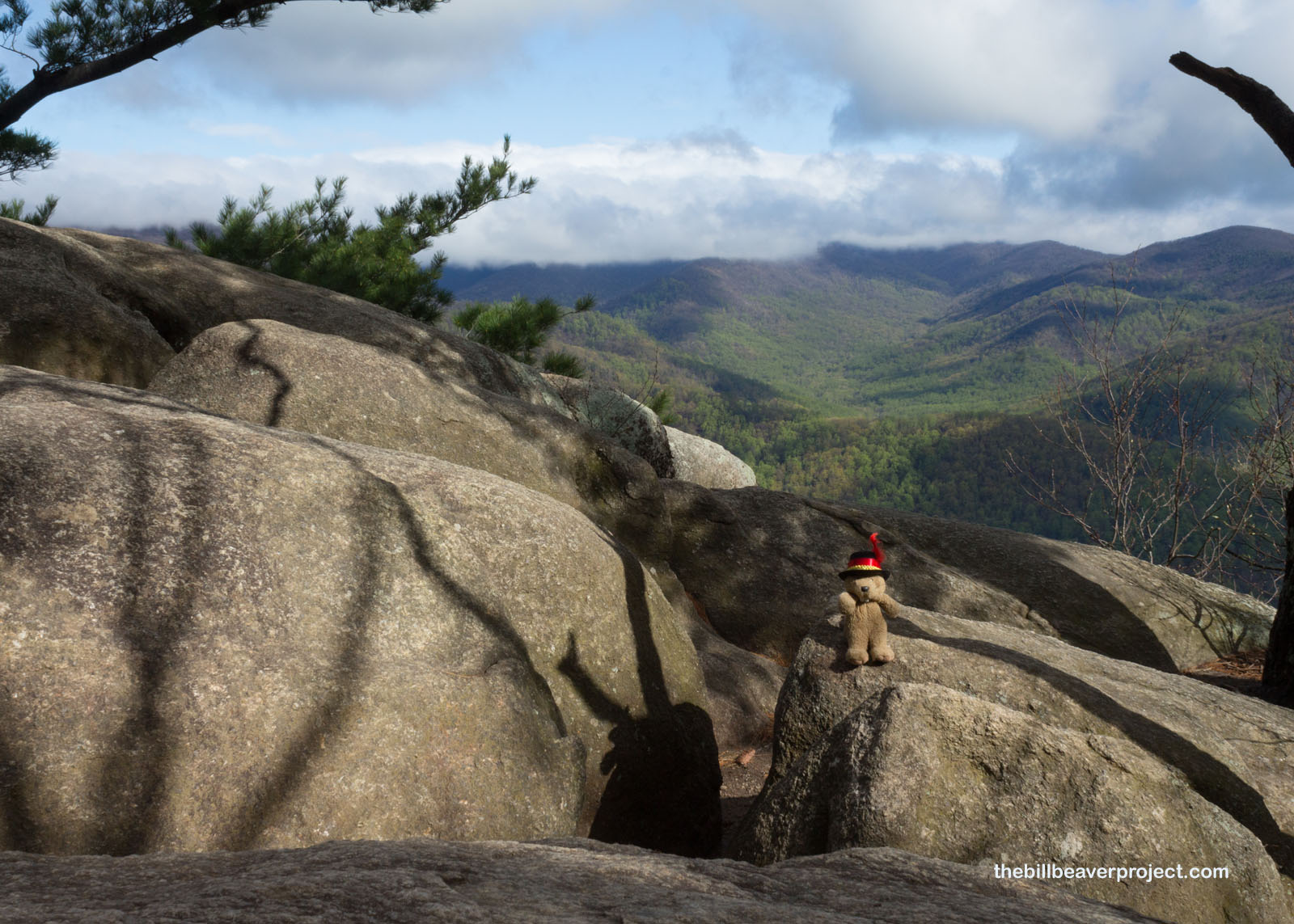
But my goodness, what a day to pick for hiking Old Rag! It was so green, and all of the plants were waking up refreshed from their nightly misting, with moss-covered oaks, maples, and birches keeping it nice and shady as the trail lazily looped upward with views of the Blue Ridge Mountains behind me!
 |
 |
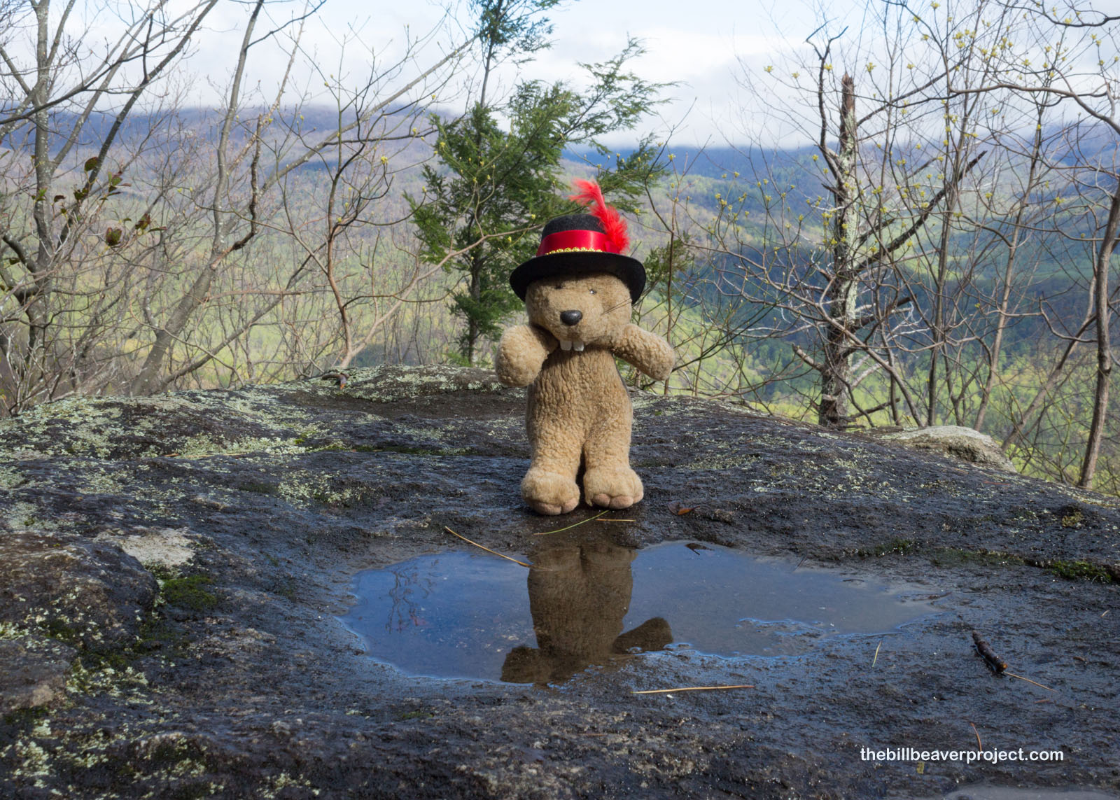
I stopped for some mountain refreshment as the views started to clear some more. The heavy cloud bank that had blocked out the whole sky when I arrived was starting to clear. The sun was even poking through, and I suspected these cool pools would be dry by the time I finished my loop today! This was very encouraging, because that meant I wouldn’t have to race the rain on any mountaintops!
 |
About a third of the way into the trail, the gentle slope started to turn rocky—granite-y to be precise! This special Old Rag granite has unique rectangular crystals called microcline feldspar, which tells geologists it was formed by slow-cooling magma! This would have begun about 1.2 billion years ago, deep in the earth, but the visible boulders over which I was scrambling probably burst into view about 200 million years ago!
 |
 |
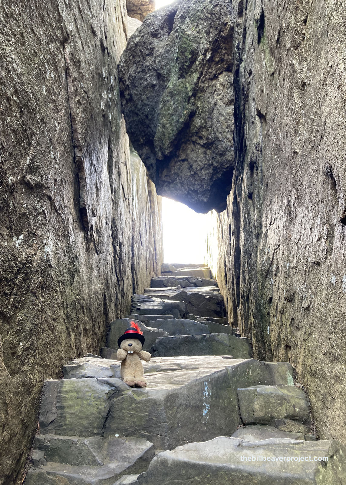
Speaking of scrambling, the next section of the trail was called the Rock Scramble and for good reason! If you were to imagine the opposite type of trail from what I’d just conquered, this would be it: narrow squeezes through unforgiving boulders, precipitous drops between those boulders, and plenty of folks to wait for in getting through those boulders! One couple was actually teaming up to guide their toddler son through this mess, and I was both impressed by their teamwork and concerned by their judgment!
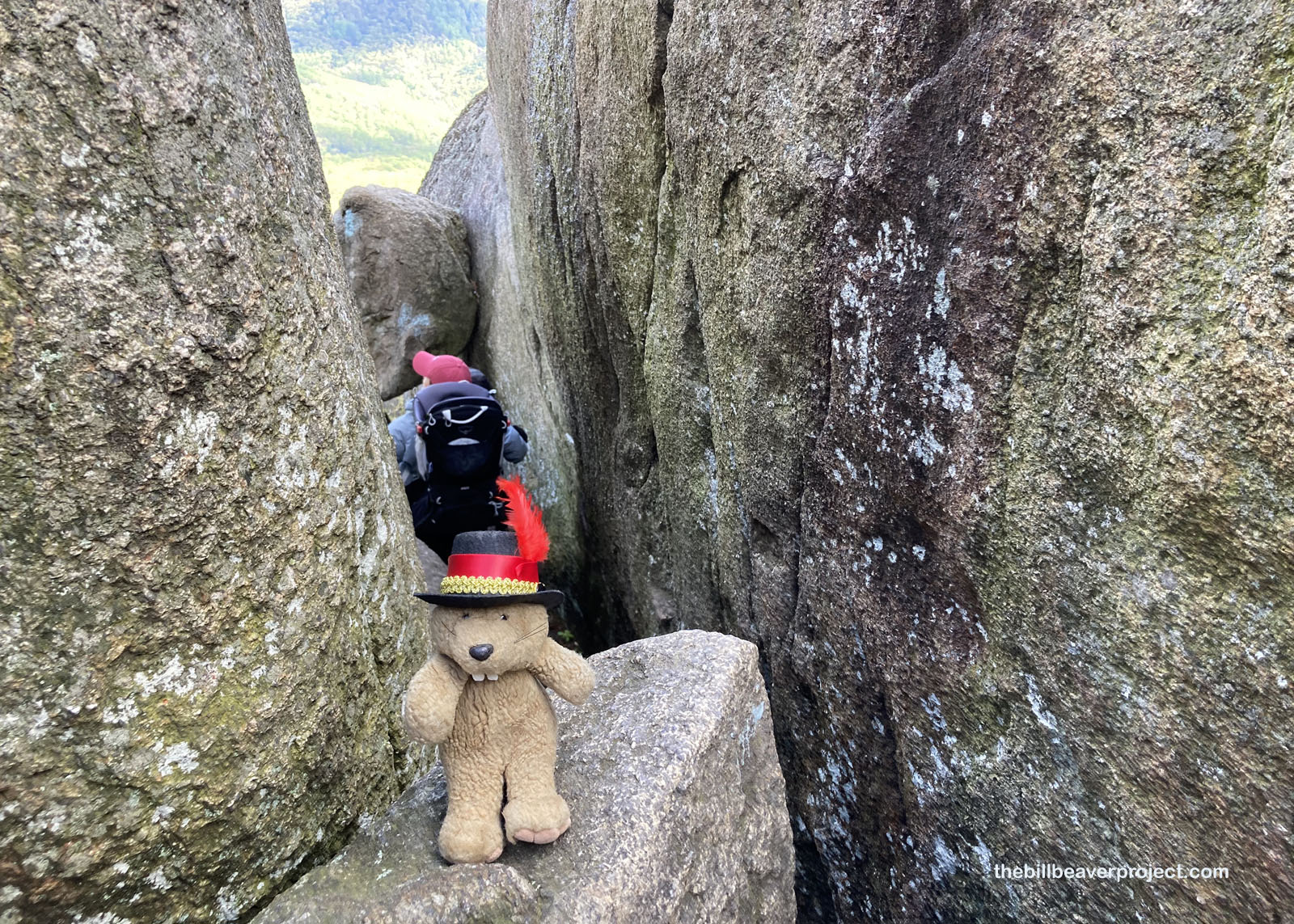 |
I scrambled for quite a while, doing my darndest not to fall to my doom, making the most of a few folks’ backpacks to get to the next boulders. But then wow! Some of the boulders themselves had gotten stuck trying to get through the Rock Scramble! This part of the trail was no joke, but by the time I got through it, I realized it had been pretty fun!
 |
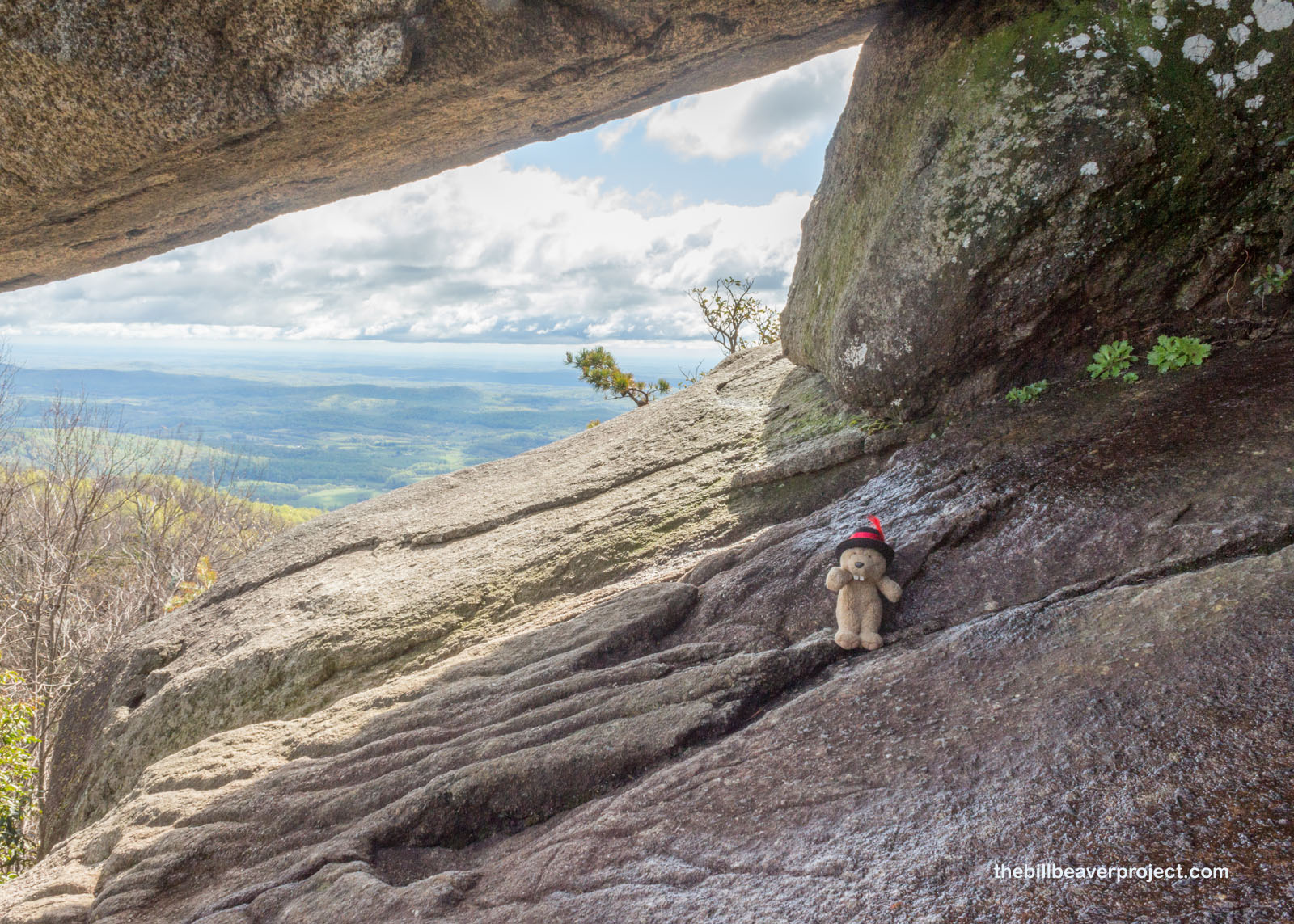
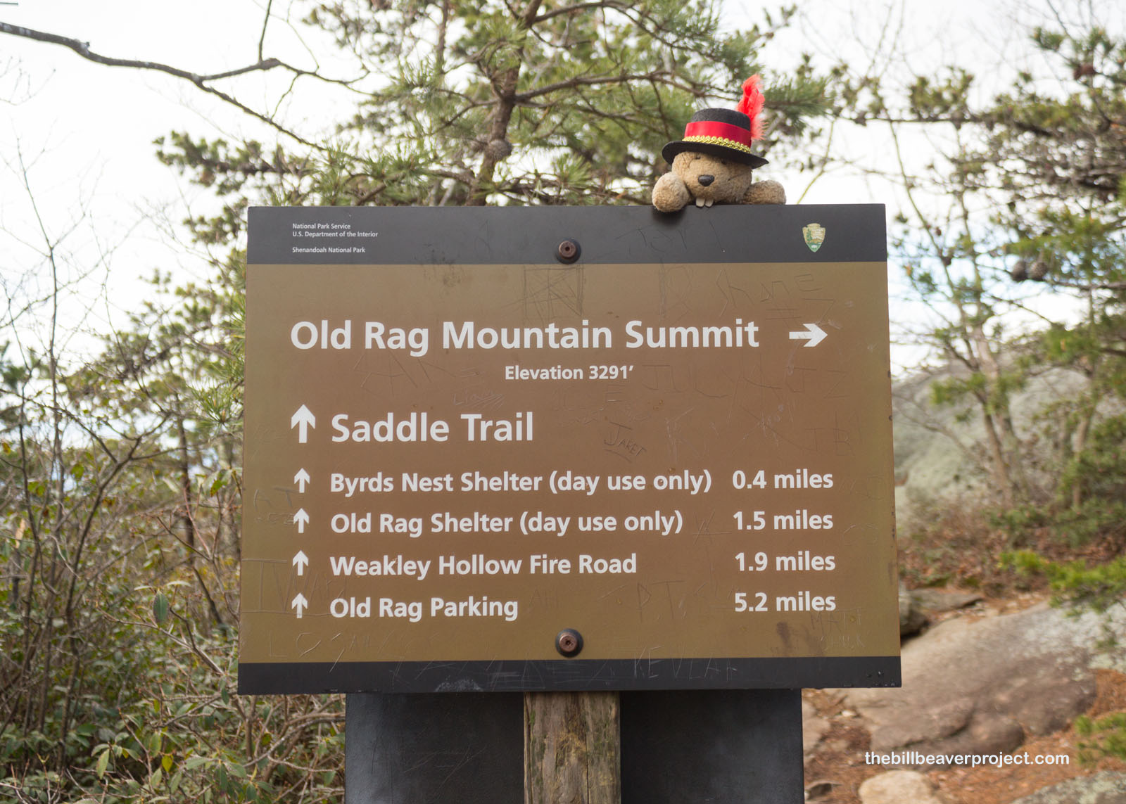
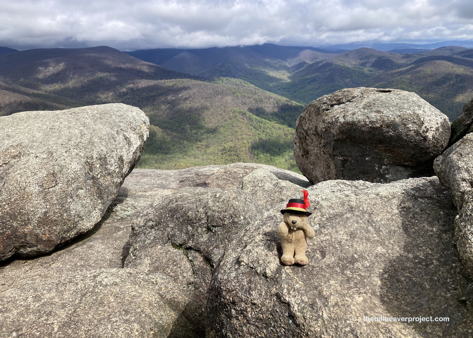
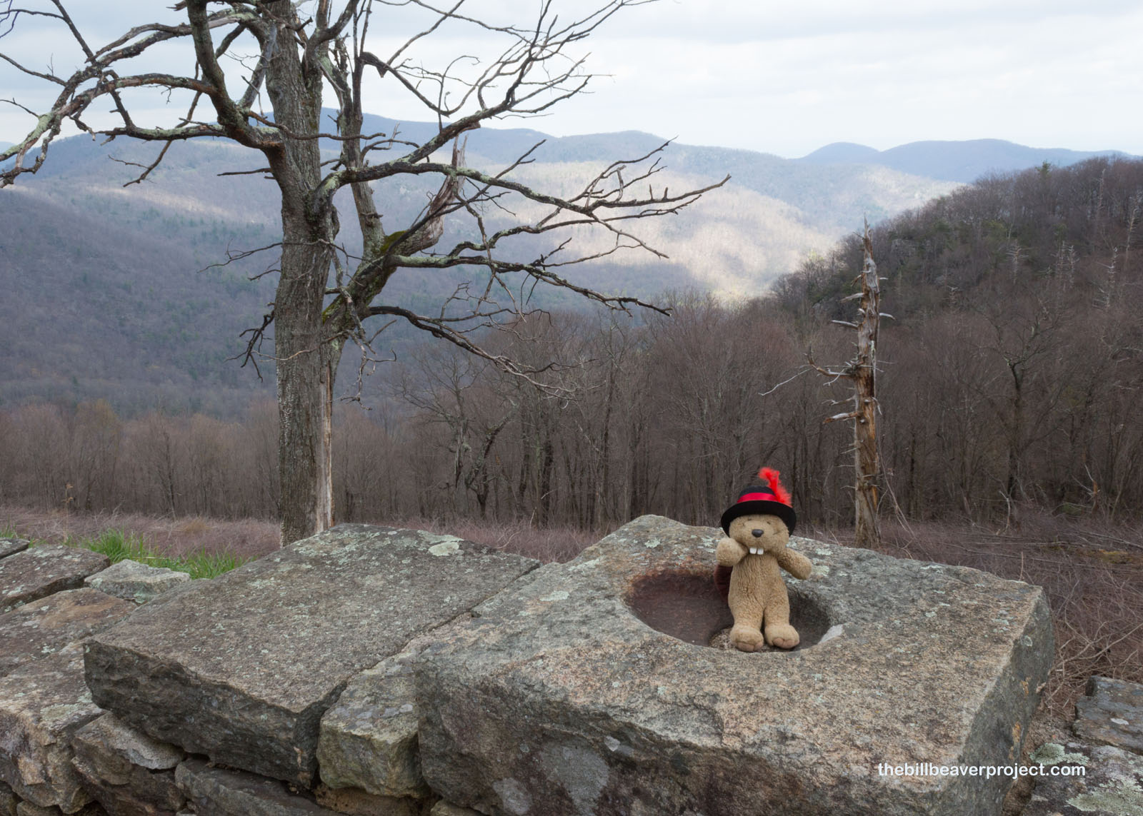
And then, 4.2 miles from the trailhead, I was up to the 3,291-foot summit, a far cry from Mt. Whitney’s 14,508-foot summit, but still an accomplishment once the wind started whipping! I tucked myself into a crevice to enjoy the view for a bit, because it was shaping up to be a very fine day. These boulders at the summit reminded me of how this mountain got its unusual name: Old Rag(gedy), from the way these boulders made the summit look ragged from afar!
 |
 |
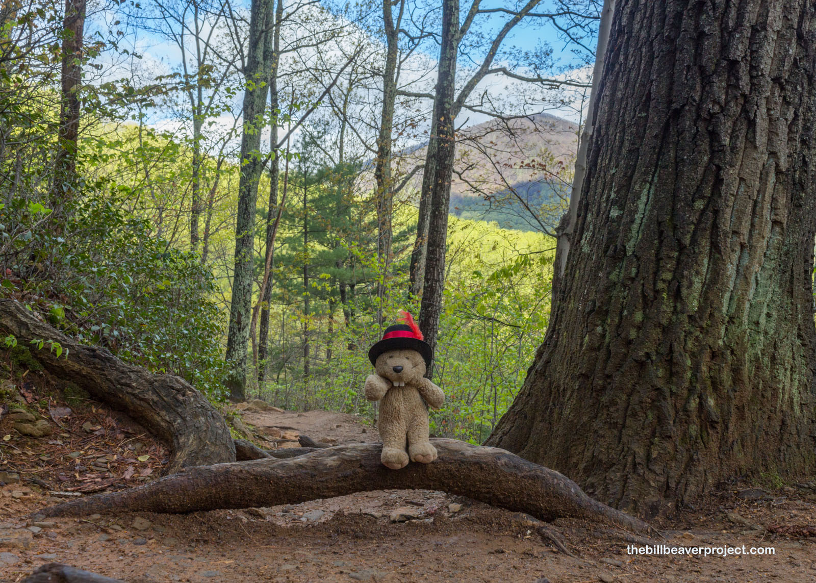
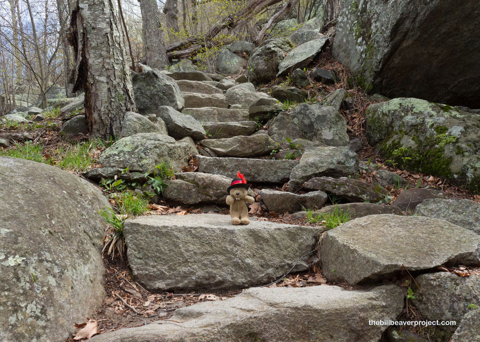
After a little relaxation, I was back on my feet and heading down the other side, a much more intermediate set of switchbacks and stone steps, which did not require any wedging, leaps of faith, or piggy-backing!
 |
 |
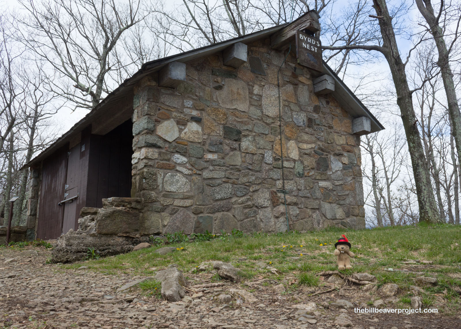
That led me to the Byrd’s Nest Shelter, named for one of Virginia’s most influential families, descended from John Rolfe and Pocahontas, as well as the founder of Richmond! The first Byrd ascended Old Rag in 1900, named Richard Evelyn Byrd, who was the father to both famed Arctic explorer, Richard Byrd, Jr., and influential Virginia Democrat, Harry Flood Byrd Sr.! It was the latter Byrd who got caught in a rainstorm here with Conrad Wirth, director of the National Park Service, and offered up $8,500 to install this shelter!
 |
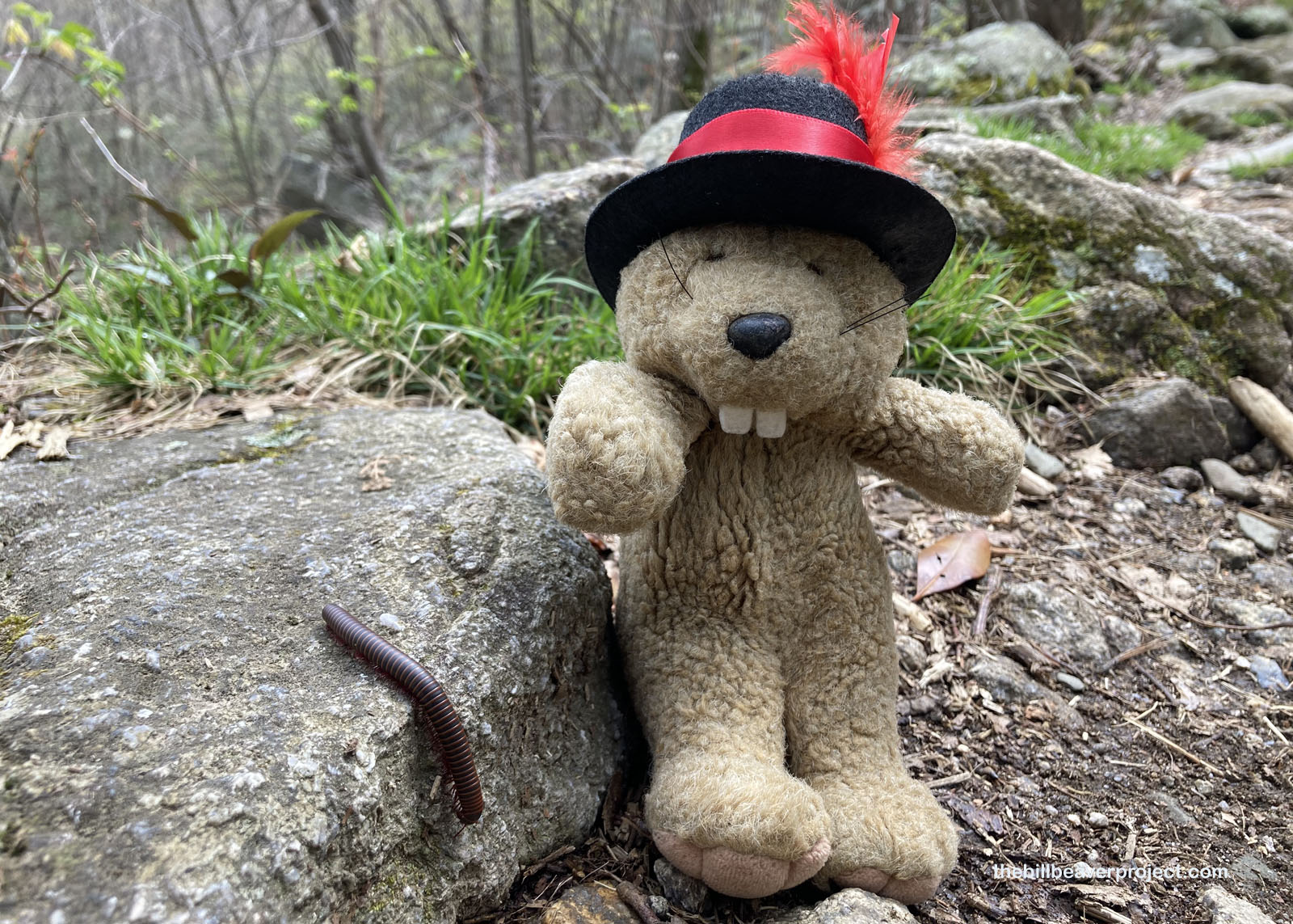
One of the locals who did not seem very worried about rain or funding a shelter was this American giant millipede (Narceus americanus)! It was trundling along in search of some tasty decayed plant parts for lunch, and I admired its pretty red and gray bands. I didn’t want to get too close, though, because if these millipedes get spoked, they let out a noxious liquid that makes your skin turn weird colors! Best to leave this bug to its snack time!
 |
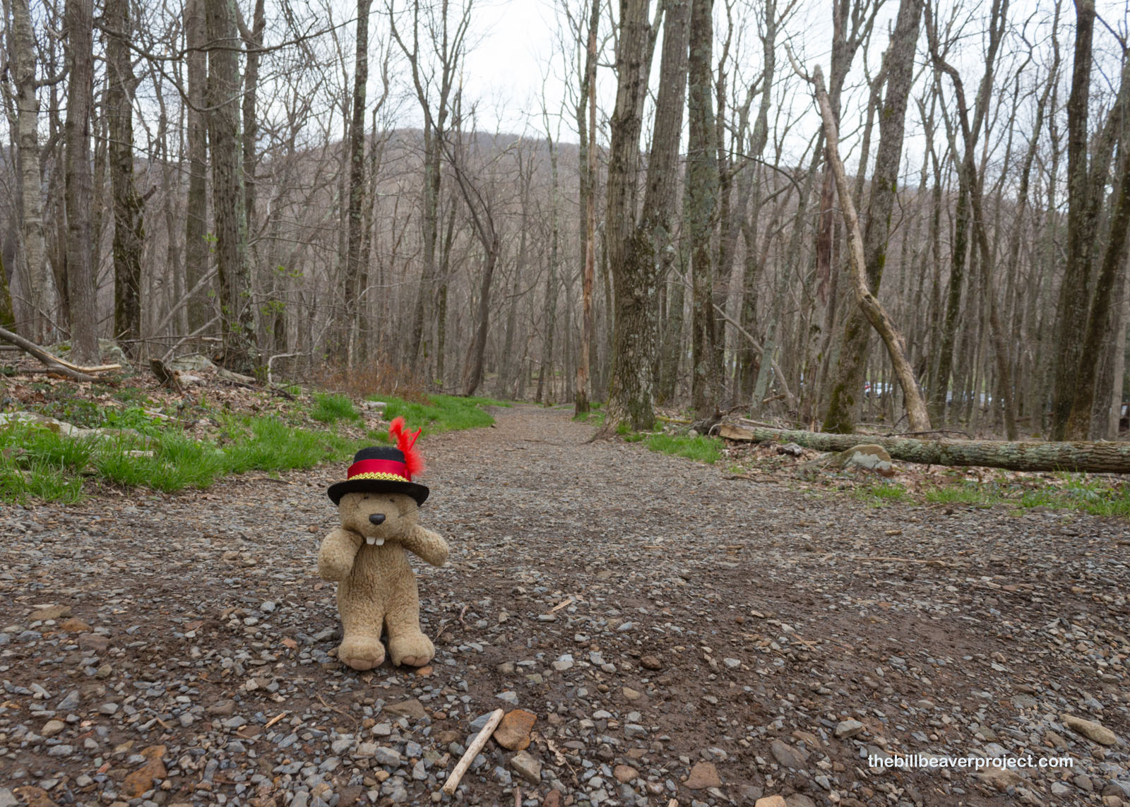
And then the rest of the loop became a slog! I’d left behind all the other hikers, so it was just me and a flat fire road pointing back to the parking lot. Wide, and dirty, it wasn’t nearly as neat or full of small tidbits of nature to explore at its edges. It was now a march to the finish for me!
 |
 |
Yup, a real march to the finish… The trail turned to gravel road, and that road just kept on going and going and going! Had it been wise to make the full circuit? It didn’t feel like it, but then I remembered going back would have meant long waits for uphill hikers in the Rock Scramble. That’s the thing about long hikes is sometimes you just have to turn off the thoughts and let the legs do their job.
 |
 |
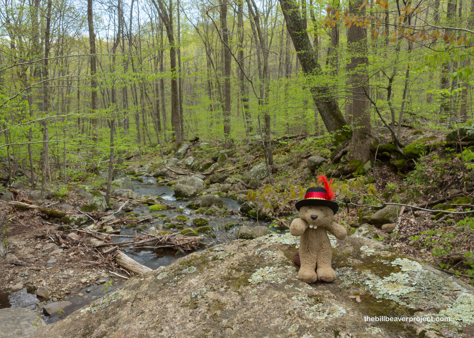
At least there was a lovely stream just before the parking lot where I could rest a bit in the natural beauty at the end of this hike. My legs were pretty sore, so this was a perfect spot to charge up for the next half of my explorations in Shenandoah National Park!
 |
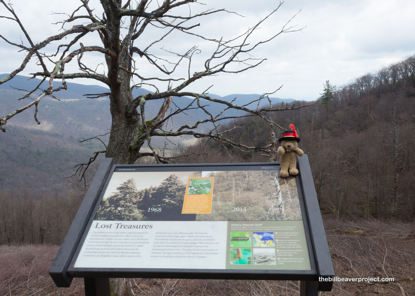
Wow, folks… I did not expect the vistas that awaited me from Skyline Drive, the backbone of the park. Where everything had been brilliant green on the Old Rag circuit, when I got to my first open viewpoint, I was shocked by the acres and acres of dead trees! What had happened? The hemlock wooly adelgid (Adelges tsugae), that’s what. Brought to the USA from Japan in the 1950s, it’s a voracious bug that can suck a hemlock tree dry in four years. Tragically, it’s killed 90% of the hemlock trees in Shenandoah National Park!
 |
 |
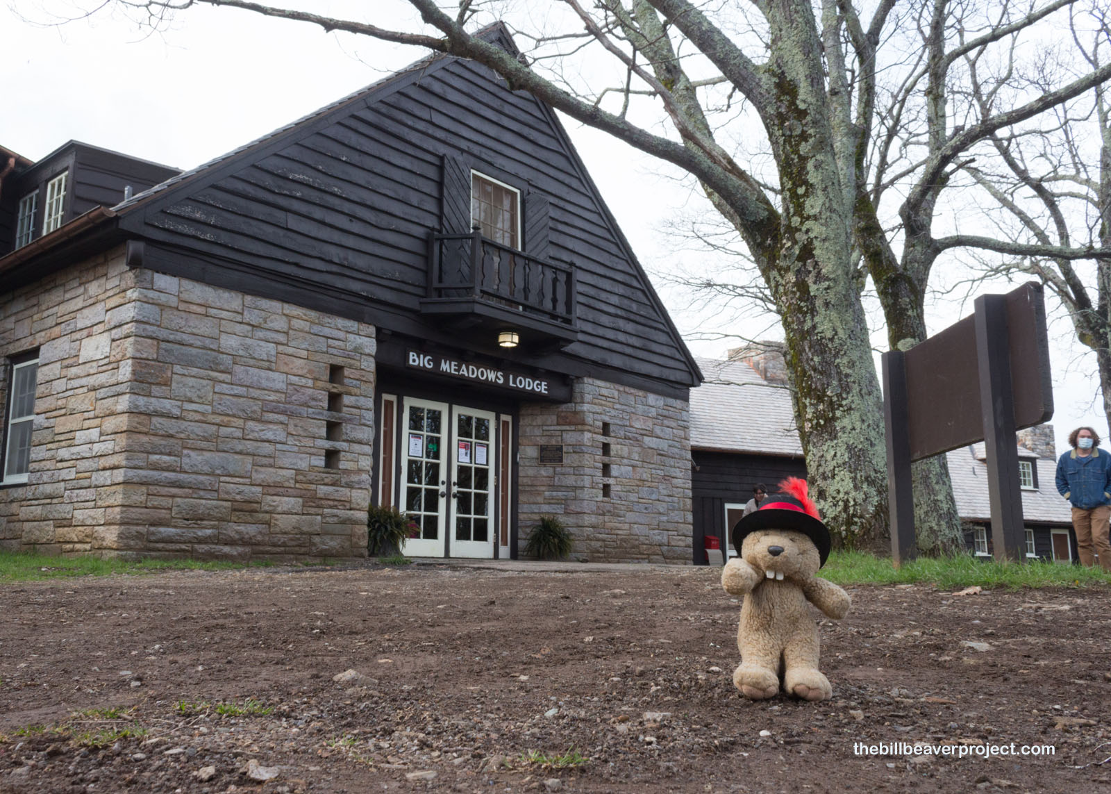
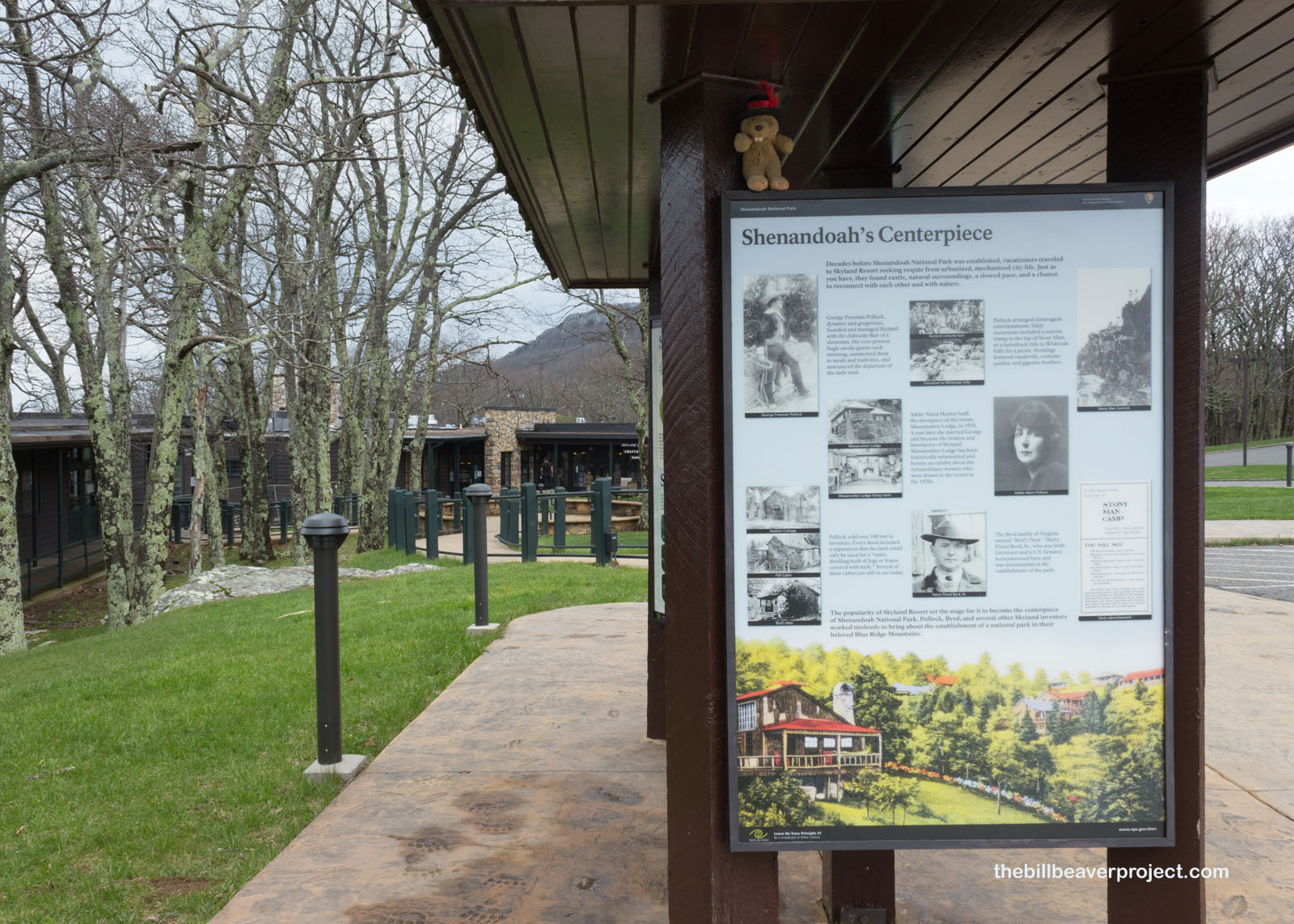
All I thought to suck dry at this point was some water and a mocha from the Big Meadows Lodge, part of the historic Skyland Resort! This resort was part of a cascade of debt defaults from George H. Pollock to his son, George F. Pollock. George F. borrowed and mortgaged several times to hold onto the land that would turn into a high-mountain resort with lodging, dining, and recreation halls for folks who would spend the whole summer up there! Mr. Pollock didn’t make any money off of this resort, though, and long-term residents became weekend warriors with the construction of Skyline Drive. Luckily for these historic structures, the National Park Service was able to repurpose them!
 |
 |
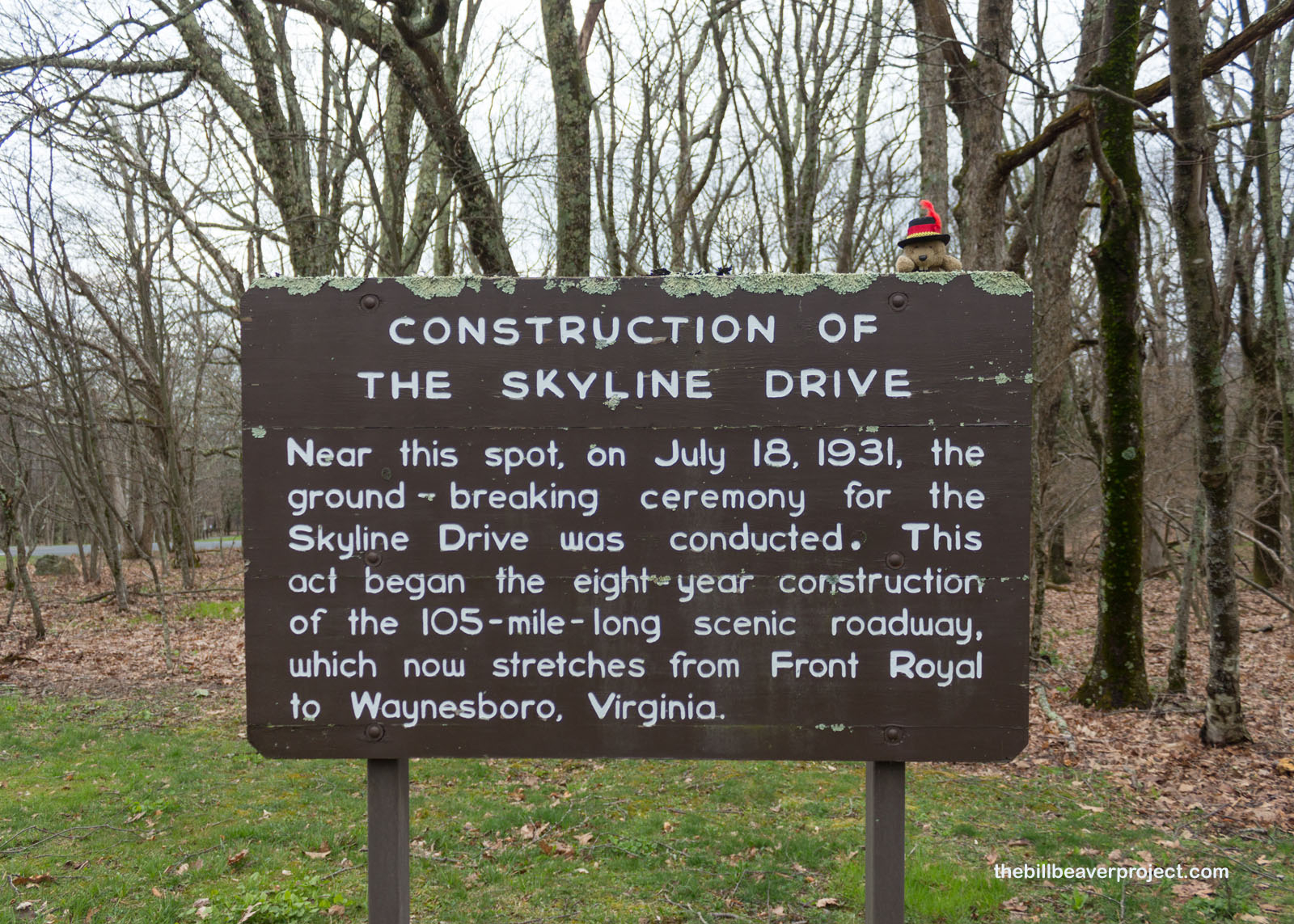
Speaking of Skyline Drive, a sign nearby talked more about it! First proposed in 1924 as a connector between Skyland Resort and the nearby presidential Camp Rapidan, this 105-mile stretch of scenic highway was paved between 1931 and 1939! Many of the road’s workers were farmers and apple pickers whose livelihoods had been devastated by a drought in 1930, and the first stretch of road was put in very hastily to revive some of the local economy! That meant the park’s first 30,000 visitors had to sign waivers that they wouldn’t sue the government if they fell off the side of the road!
 |
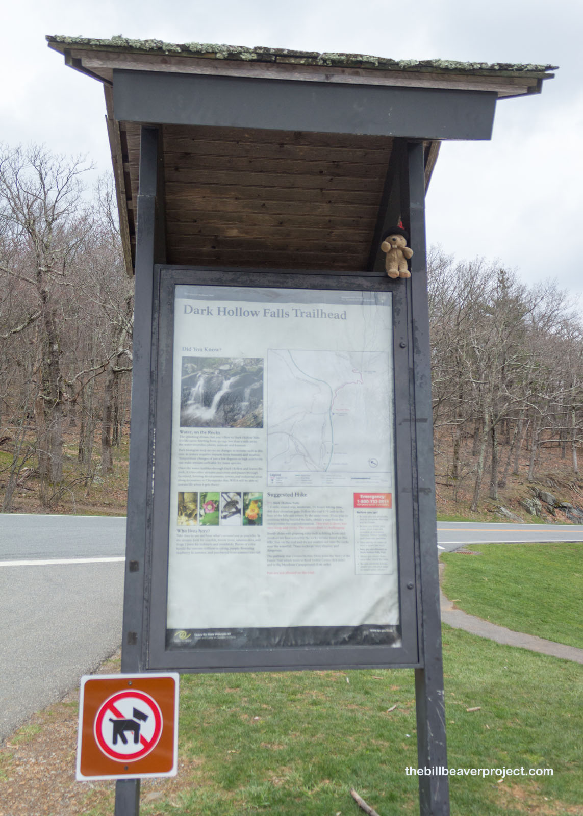
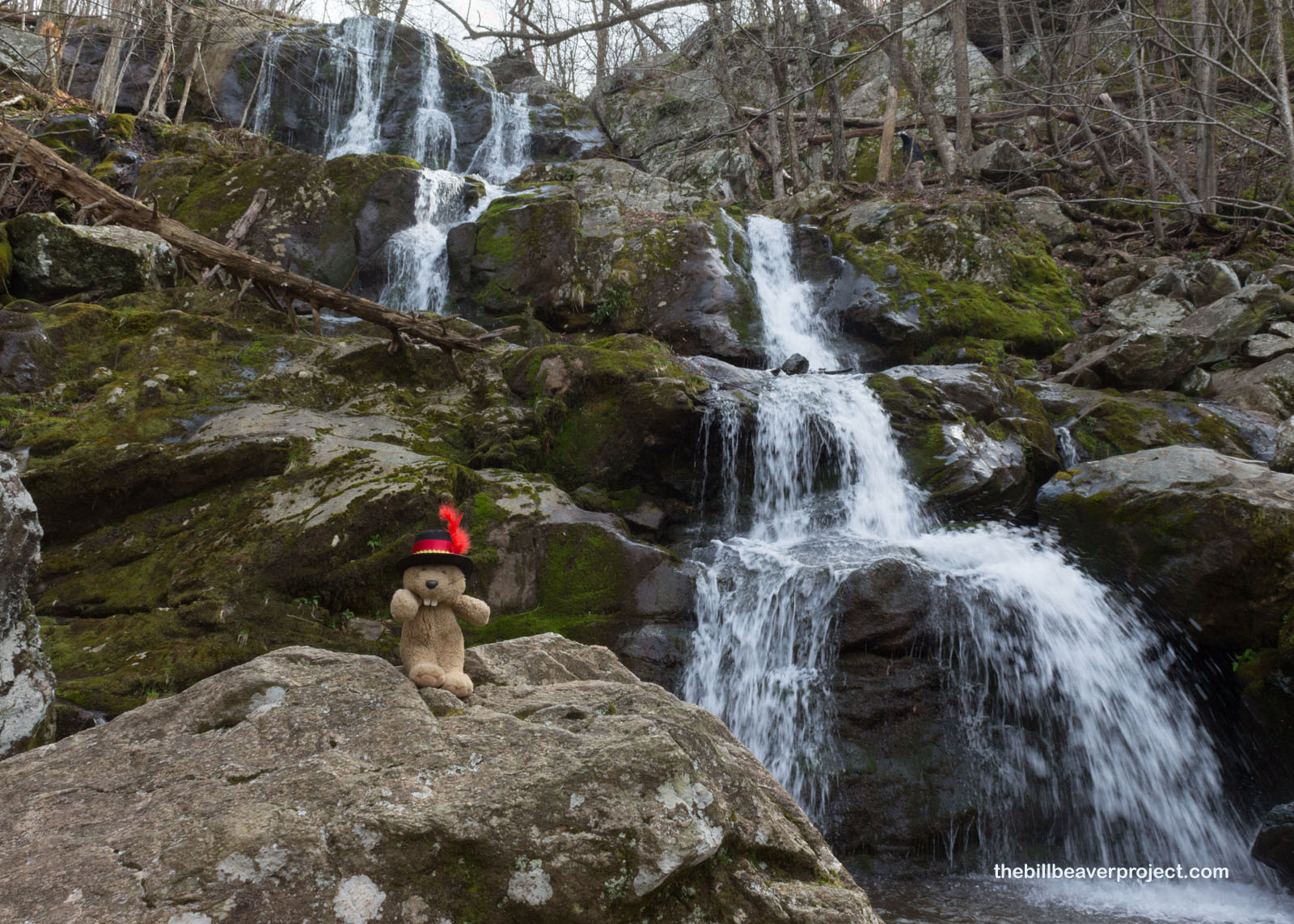
Oh, did I say falls off the side of the road? Well, another trailhead beckoned, one that was a little shorter than Old Rag, and that was the 1.4-mile Dark Hollow Falls Trailhead! It was a spooky sounding name, and I wanted to see if it had the atmosphere to match!
 |
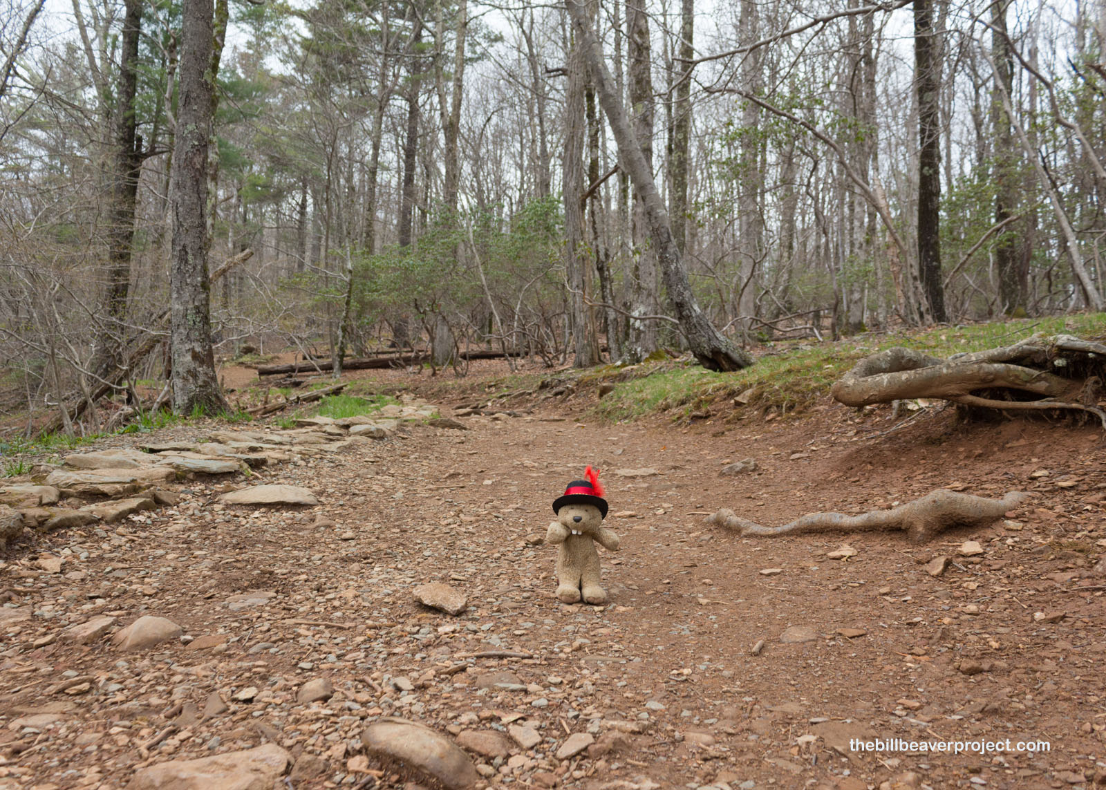
The trail was a pretty brisk downhill route, and downhill routes always remind me that I’ll have to schlep back up again afterward. This is the price a beaver must pay for adventure!
 |
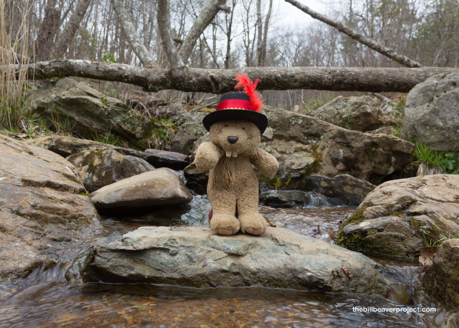
The trail ran parallel to the Dark Hollow Stream, which gave some teasers along the way: first an extra large burble, then a moderate cascade, and then, down toward the bottom…
 |
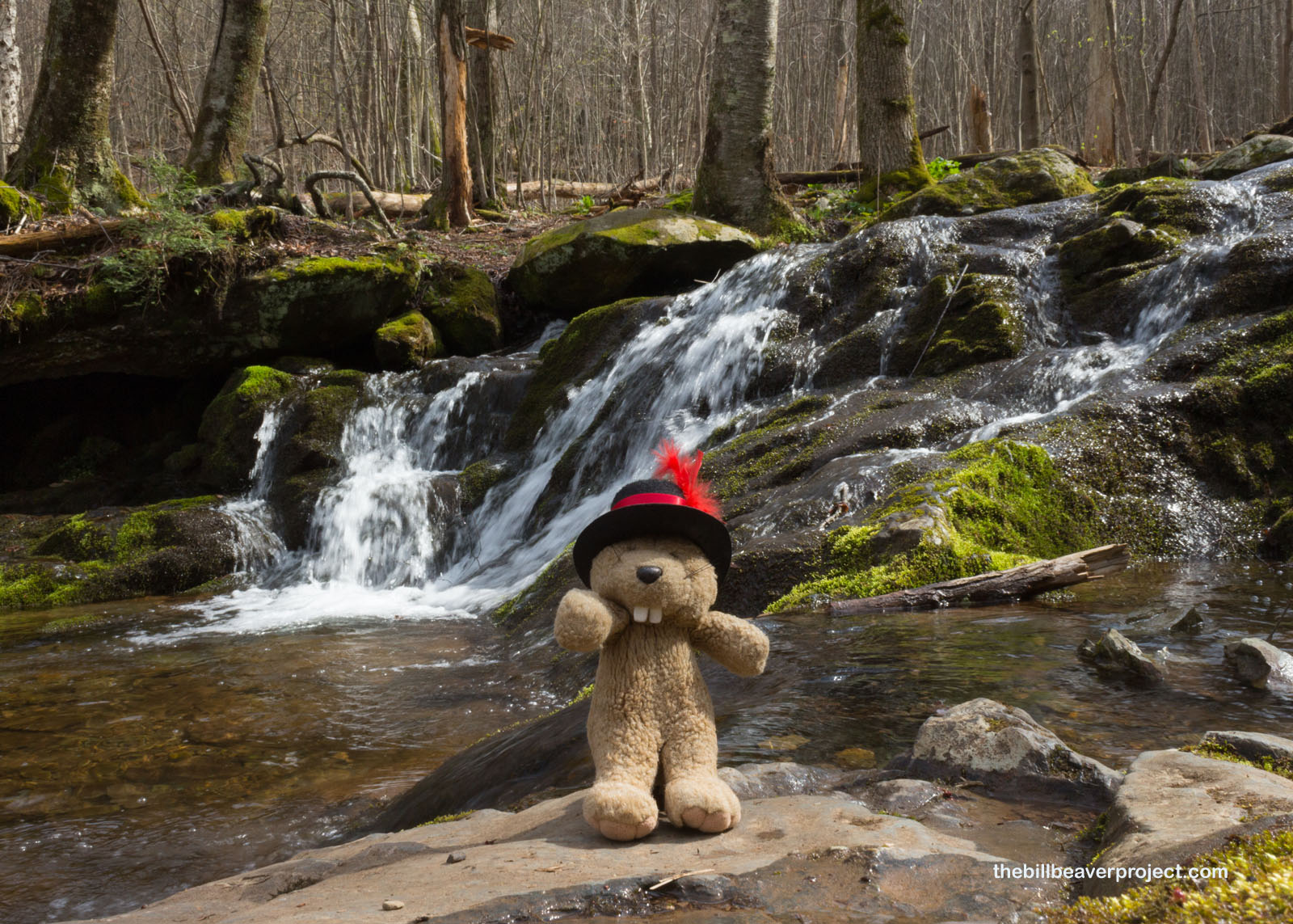 |
Dark Hollow Falls cascaded down over the moss-covered boulders! It looks like a very healthy flow after all the rain recently, and because of that rain, I didn’t think it would be wise to do that a bunch of other folks were doing: clambering up the slippery boulders to get a higher view! Instead, I enjoyed the falls from below, dipping my tired toes in the nice cool water!
 |
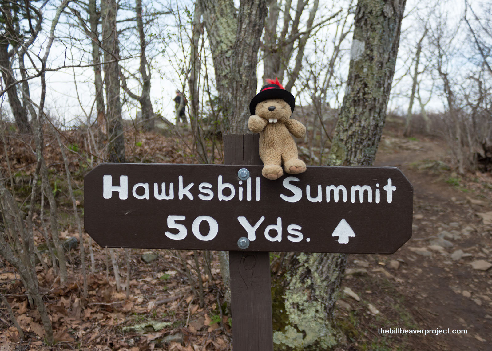
That was going to be my final resting spot for the day, because once I hiked back up to the top, I was determined to make one more summit: Hawksbill! The tallest mountain in Shenandoah National Park at 4,051 feet, it was luckily not at the end of another huge circuit but a gentle mile up and another one back!
 |
 |
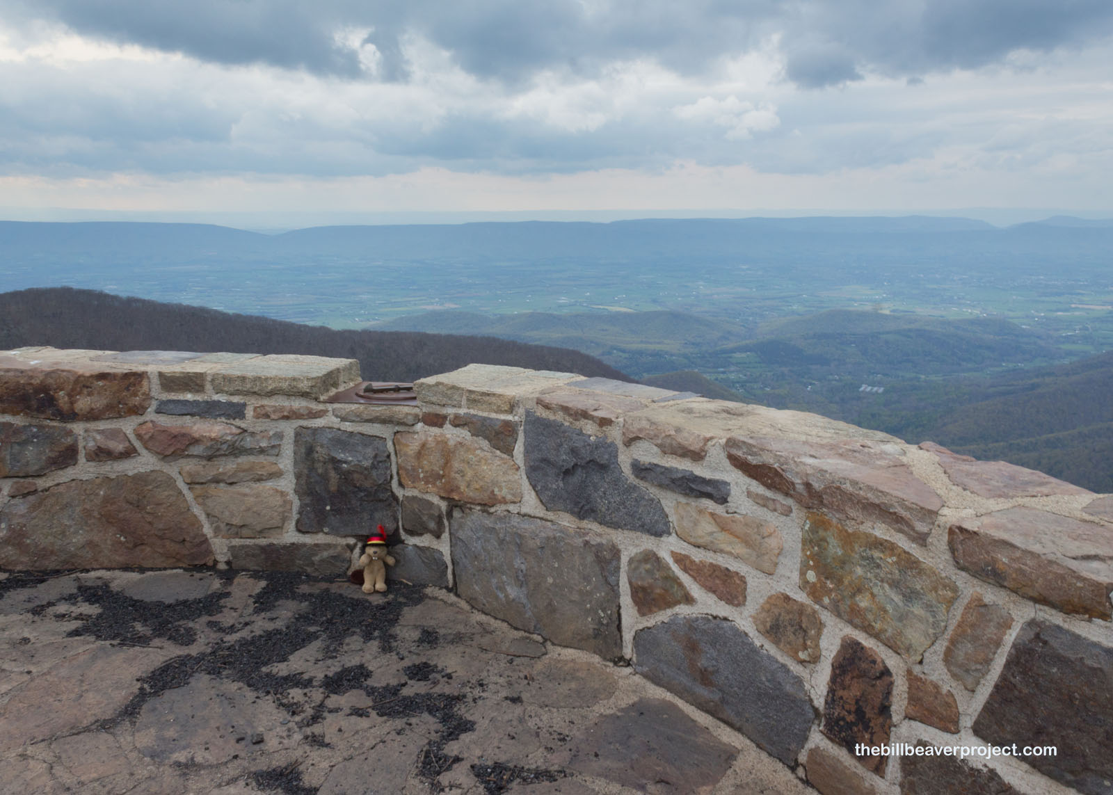
And if this structure looks familiar, it should! After Harry Byrd, Sr. funded his first shelter over on Old Rag, he funded several more throughout the park, including this on: Byrd’s Nest #2!
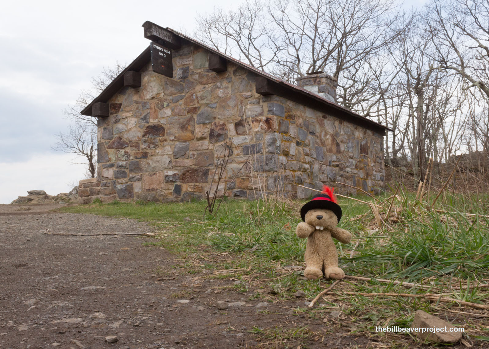 |
And then, as the temperature started to drop and the wind began to pick up, I reached my second summit in Shenandoah National Park! Looking out over the Virginia countryside to the west, I realized just how spectacular this ridge was for vistas! Who’d have thought I’d reach the top of not one, but two whole mountains in a day? My feet really want to know!
 |
 |
But that was more than enough hiking for me in one day. I was more than happy to let myself drift the rest of the way down Skyline Drive to Staunton for some dinner and a nice, long rest. I got high in elevation today, but tomorrow’s adventure will stretch even higher! Sky high! Space high! Stay tuned for my journey into the eerie National Radio Quiet Zone of West Virginia!
Signing off!

Previous Day |
Total Ground Covered: 932.8 mi (1,501.2 km) |
Next Day |